A Trail is Reborn!
Signal Peak to Black Peak
July-August, 2026
Our hiking group, the Gila Hikers, prides itself on rarely canceling due to weather. One of the main reasons to live in Silver City is being able to hike almost any day of the year! In the heat of the summer, the key is to start early and go high. But as the weather warms up, the choices dwindle. On a steamy day in July, Dennis and I went looking for the unicorn: a high elevation well-shaded trail not too far from town. Years earlier, we'd met some hikers near Signal Peak who claimed there was a trail along the ridge from Signal Peak to Black Peak. We decided to give it a try.
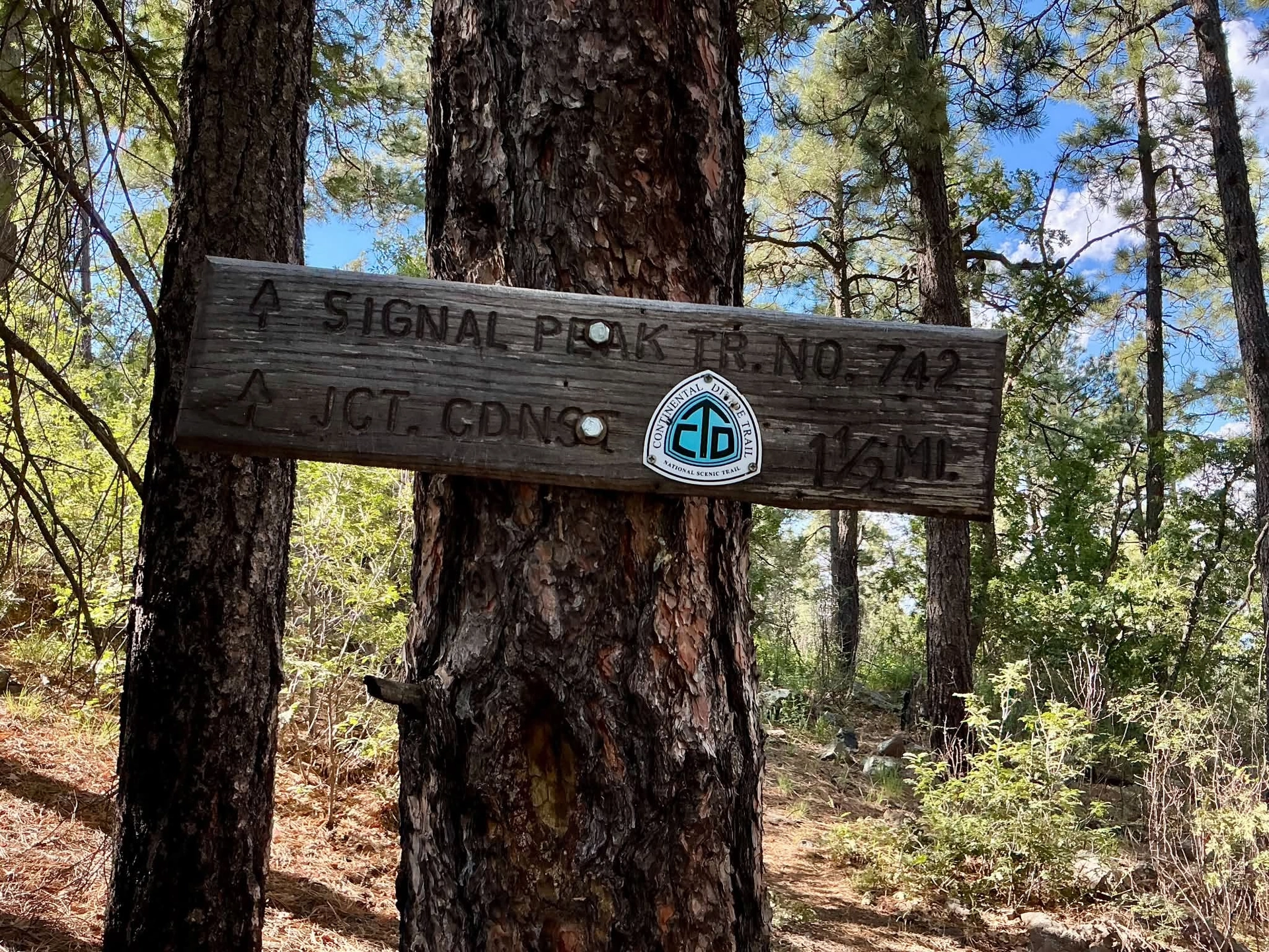
The trail starts at the gate just below the Signal Peak lookout. A trail marker shows that it was once part of the CDT, now rerouted to the Black Peak Trail. The first quarter mile was lovely — mature pondos, a tread of pine straw, and see-forever views.
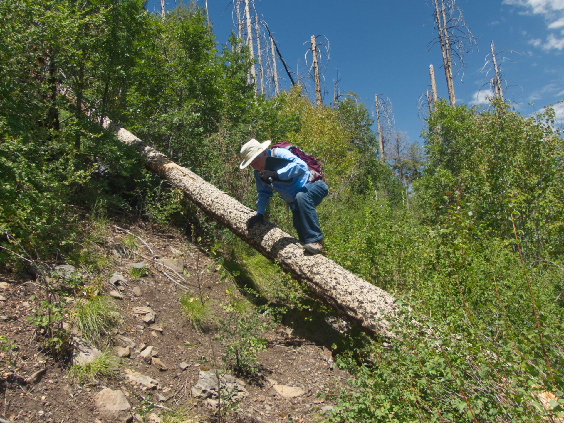
But then we emerged on the edge of a ridge that had been badly burned by the Signal Fire of 2015. In the next quarter mile, there were more than a dozen logs across the trail, and brush so thick the trail was all but invisible.
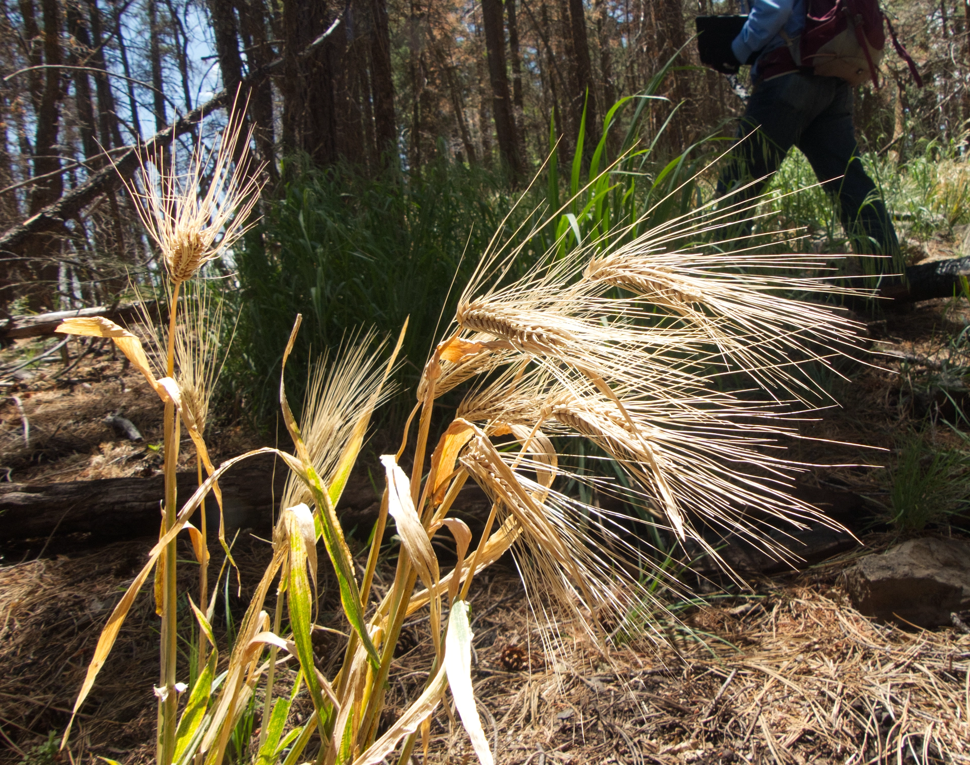
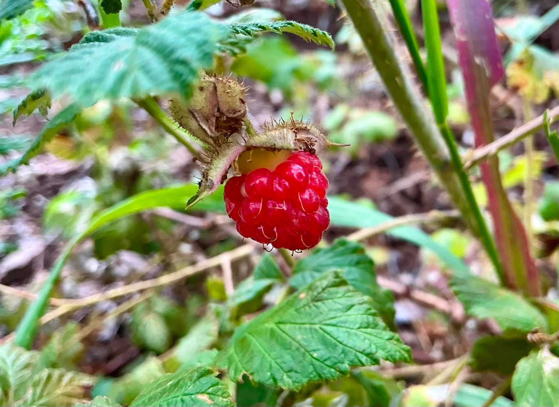
We pushed on, and mercifully the locusts and New Mexico raspberries thinned out as we neared Black Peak. But this area was heavily damaged by the Trout Fire of 2025. The blackened soil is now covered with foxtail barley, a sterile invasive grass designed to hold the soil until native plants can take over.
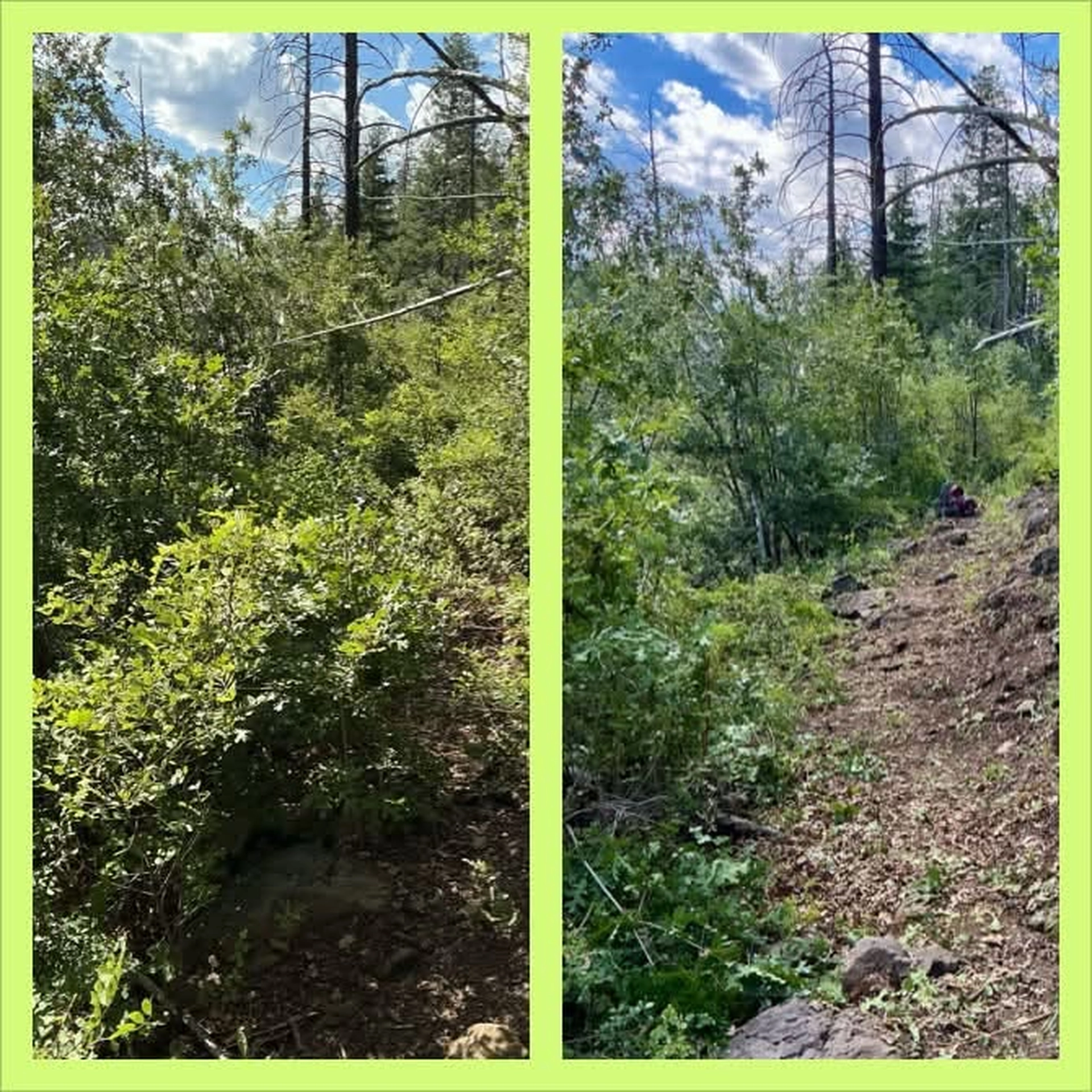
I posted about the trail on Facebook, hoping Melissa Green might add it to the very long list of trails needing maintenance by the Gila Trails crew. Luckily, Melissa had been searching for an accessible log-infested location for some hands-on training in the use of a chainsaw, and our trail fit the bill. By late July, the trail was cleared of downed logs. Dennis and I leapfrogged over Melissa and her crew to attack the eager gambel oaks, the thorny locusts and the rampant New Mexico raspberries with all the tools at our disposal — loppers, pruning saws, hedge trimmers, the works. It was tough sledding! The brush was so thick that it was nearly impossible to find a place to stash the slash. One morning we worked for four hours and only managed to clear 200 feet! But we kept at it, and it was inspiring to see the trail slowly step back from the edge of oblivion.
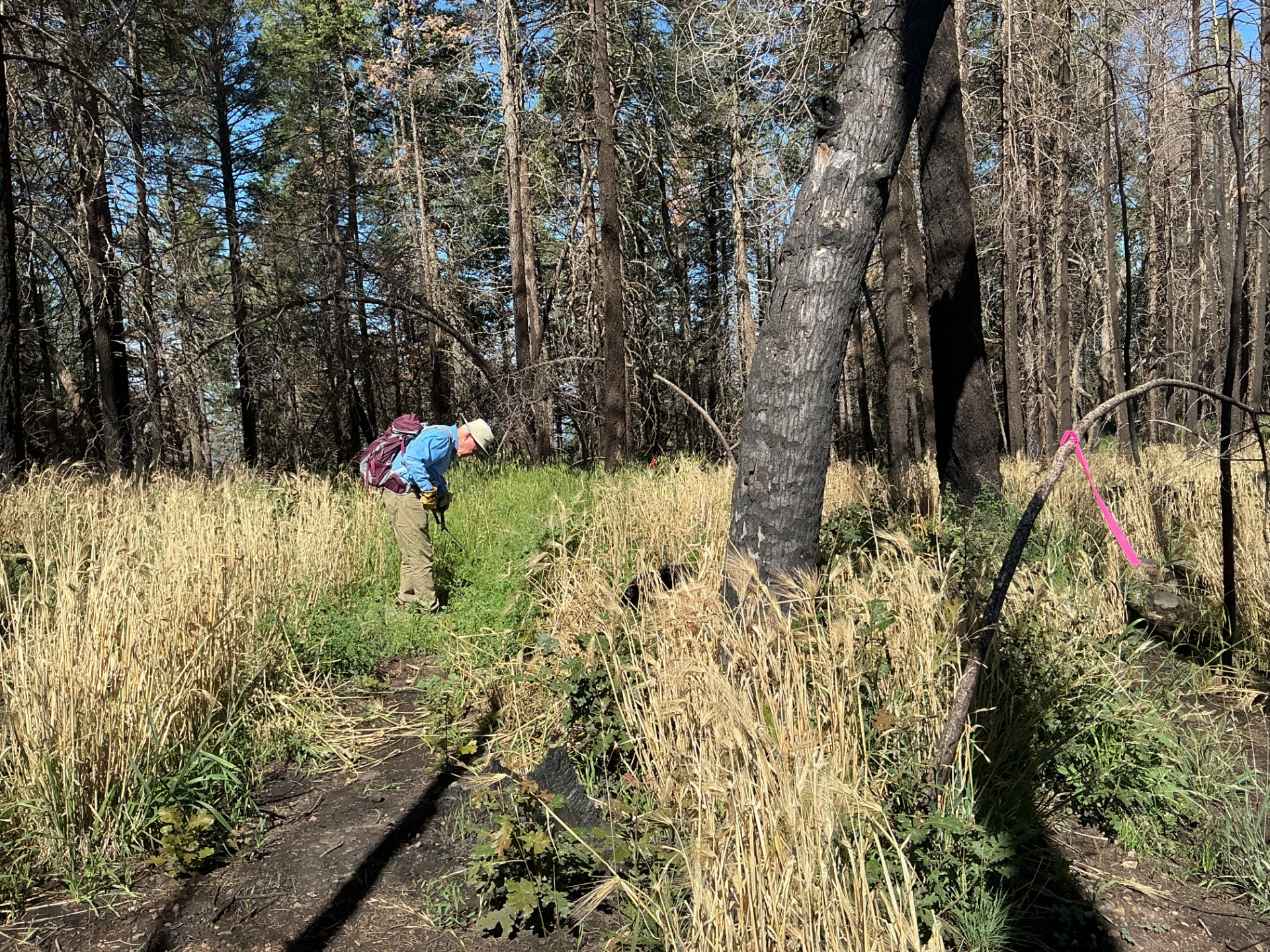
Once the burned-over area was brushed, it was time to flag the trail to the junction with the Black Peak Trail. We did our best to stitch together pieces of the old trail, following a faint track through thigh-high grass. Melissa and Dave T went through once more with the hedge trimmer, and remarked that now the main thing needed was foot traffic to smash down the last of the foxtail barley. It was time for the Big Reveal! We scheduled the inaugural hike for August 6, 2026.
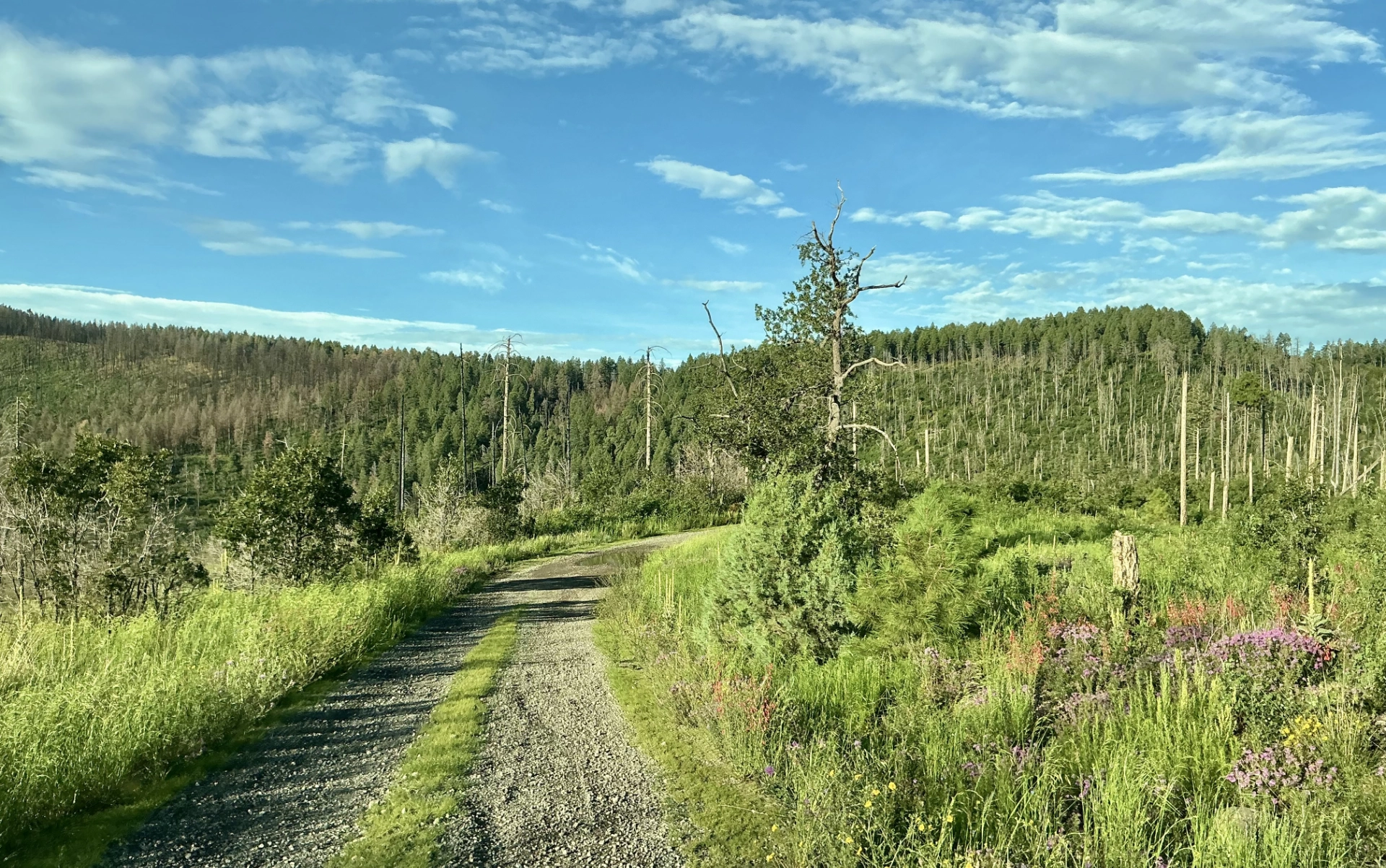
The road to Signal Peak is a good gravel road, suitable in any reasonably sturdy vehicle (although the last mile is rather steep). In the summer, the wildflowers are incredible! The temperature at the trailhead was 66° on a day when in town it would climb into the low 90s.
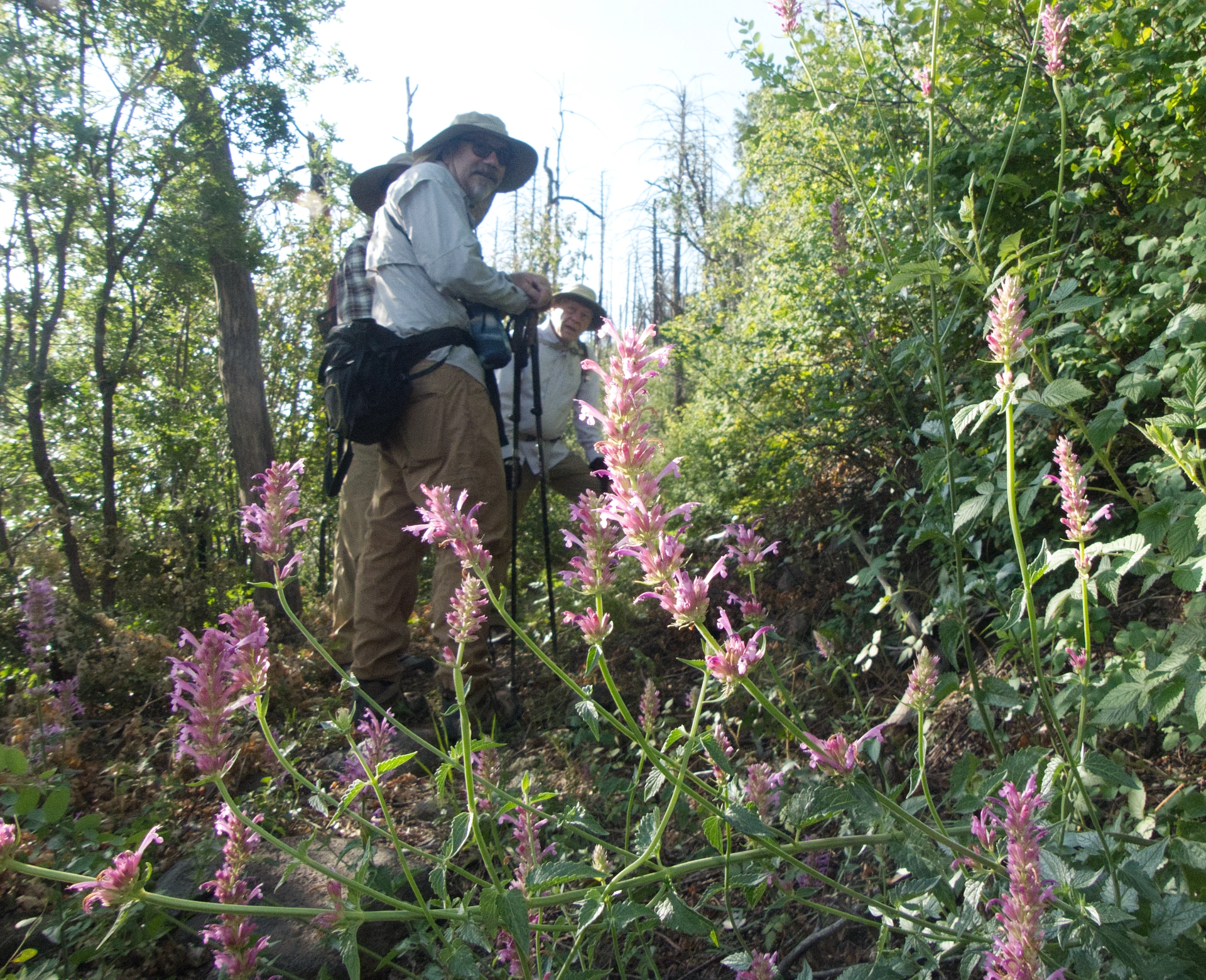
Ken, Miguel and Dennis pause to admire a cluster of New Mexico giant hyssop in the burn scar.
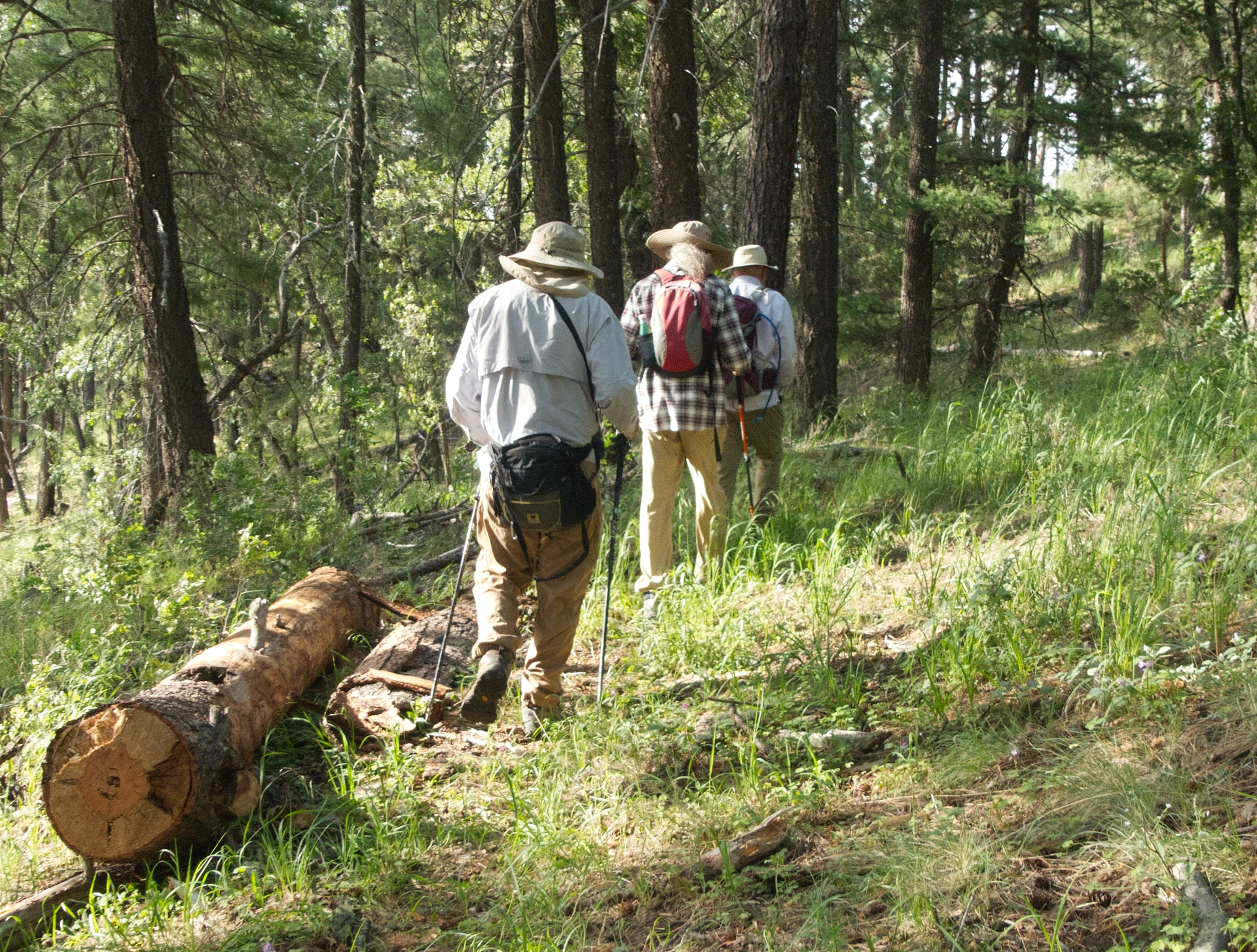
Past the burn scar and reentering a lush pondo forest. One of more than a dozen logs removed by Melissa and her crew.
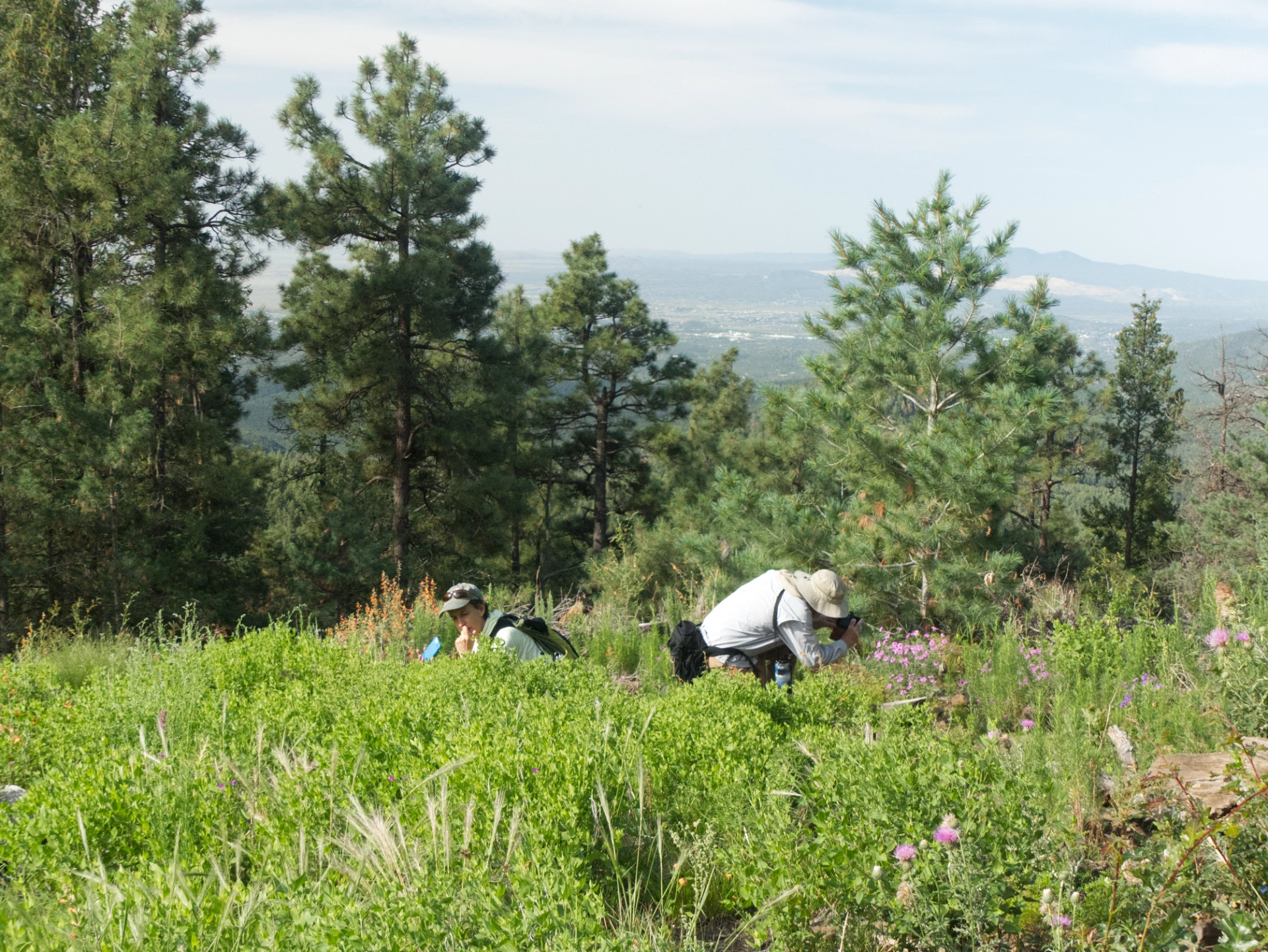
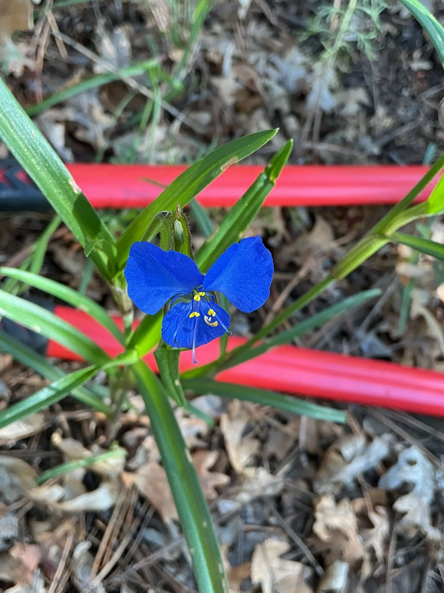
In a high saddle between the two peaks, there's an open area that was covered in false verveine, birdbill dayflower, hyssop and globe mallow. It brought our photographers to their knees!
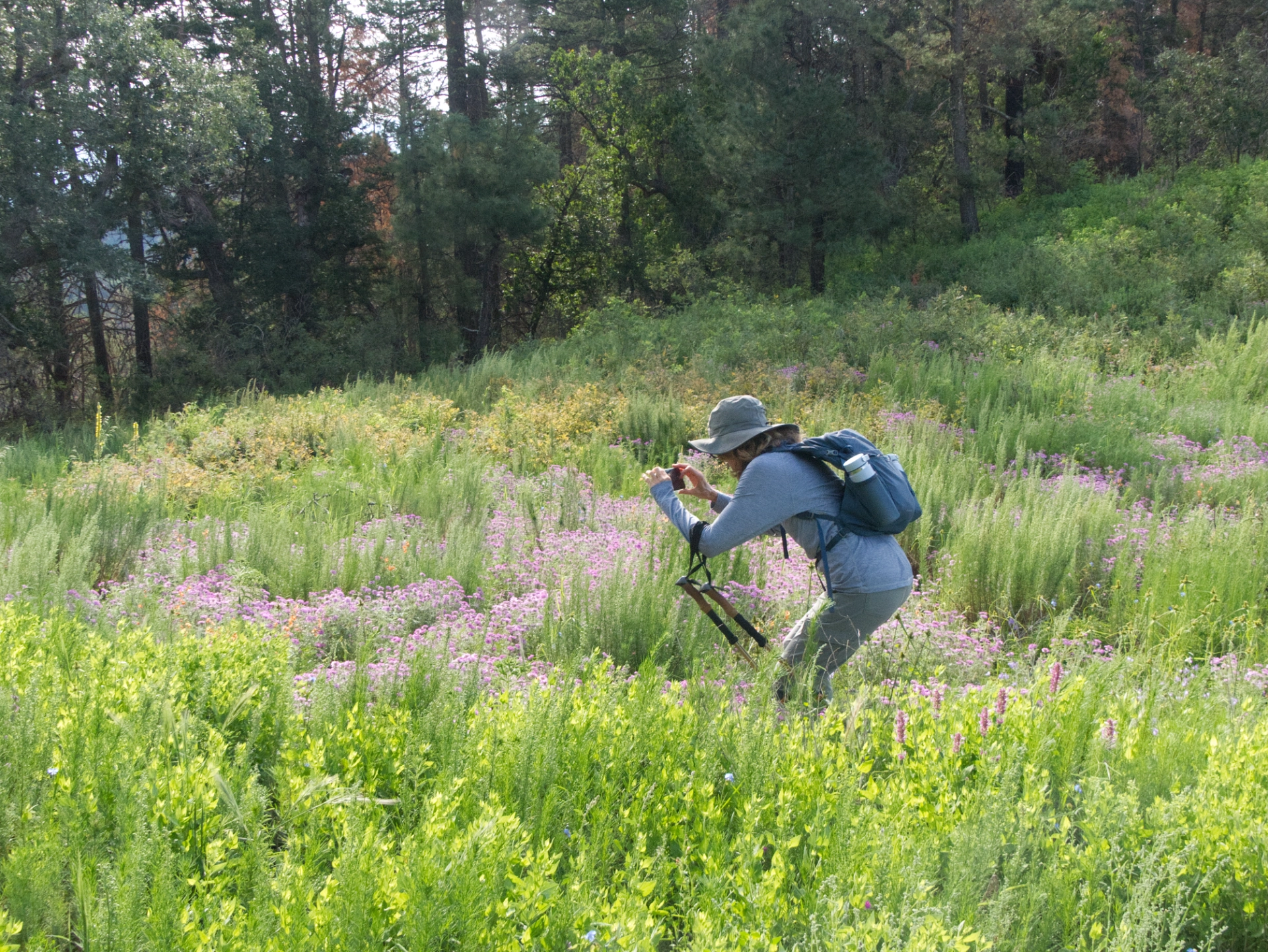
True Janett in a field of false verveine.
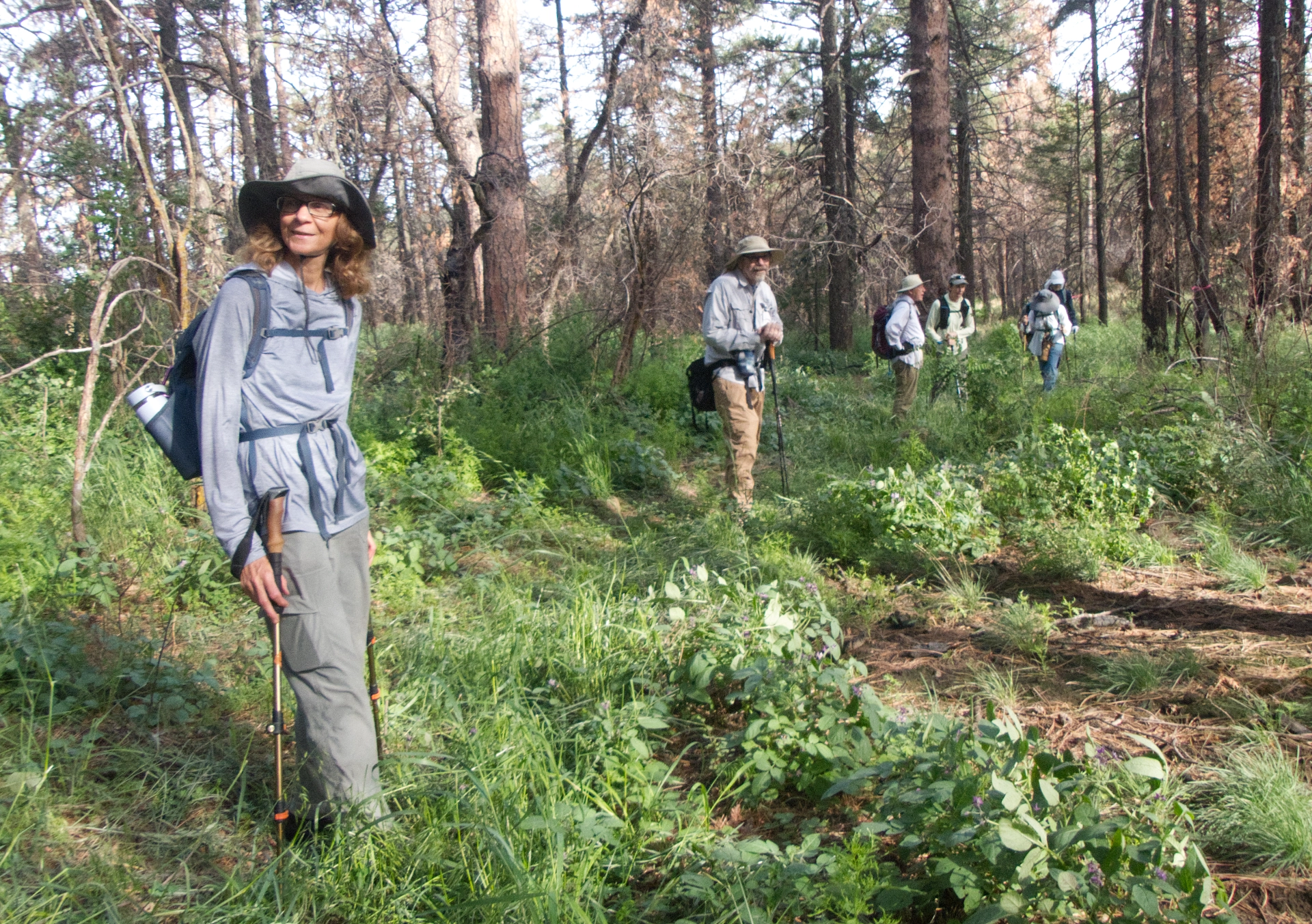
Entering the grassy area. Stomp well, my friends!
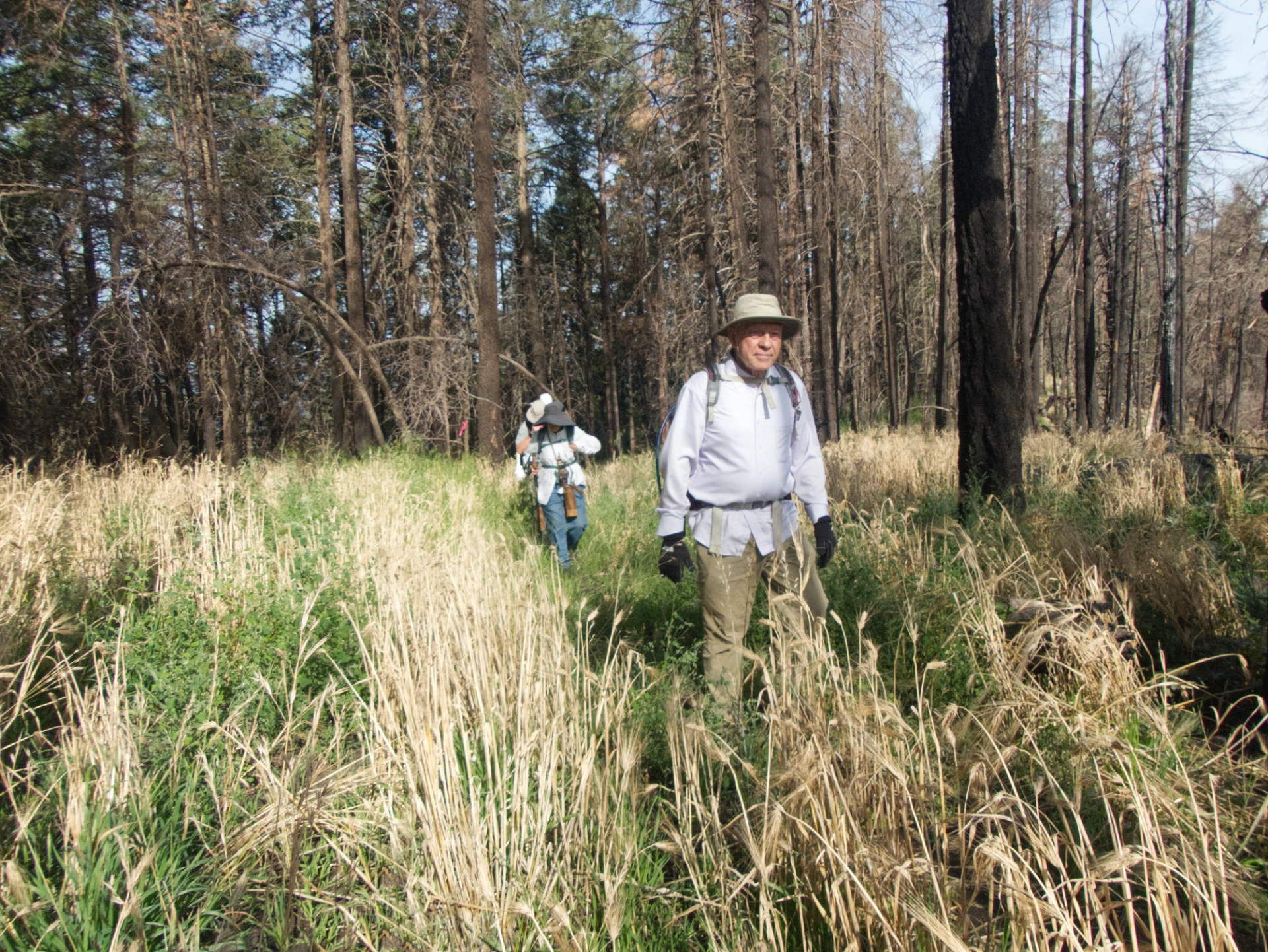
At the junction with the Black Peak Trail. Notice how the foxtail barley is all dried up, despite abundant rains.
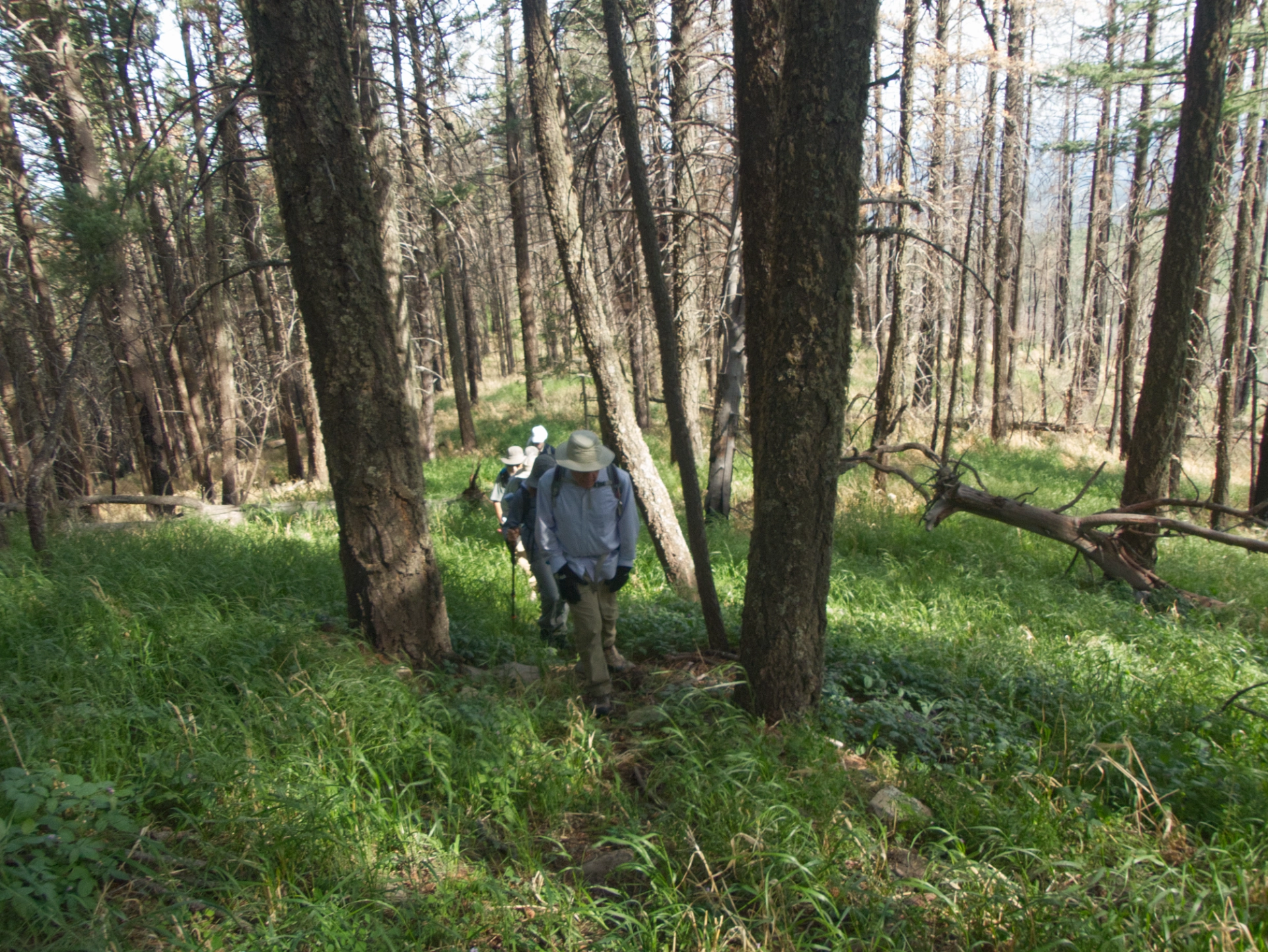
The final ascent to the summit is quite steep!
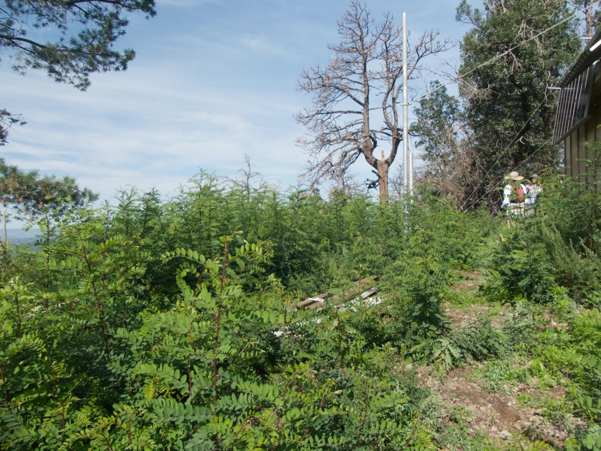
Black Peask summit. Just six weeks ago, I cut all these locusts to the ground, but they are back with a vengeance. I believe Black Peak is their locust operandi.
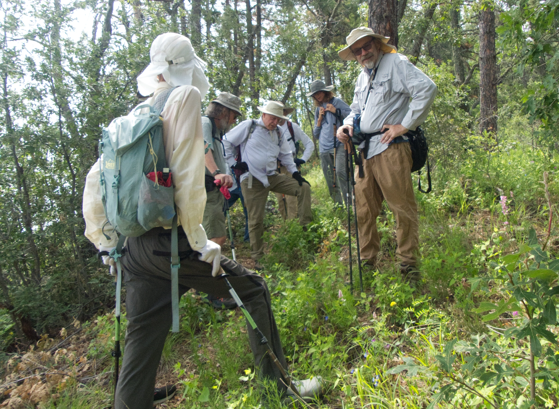
Stopping in the shade to take a break and listen to some tall tales.
The Verdict? ⭐⭐⭐⭐⭐
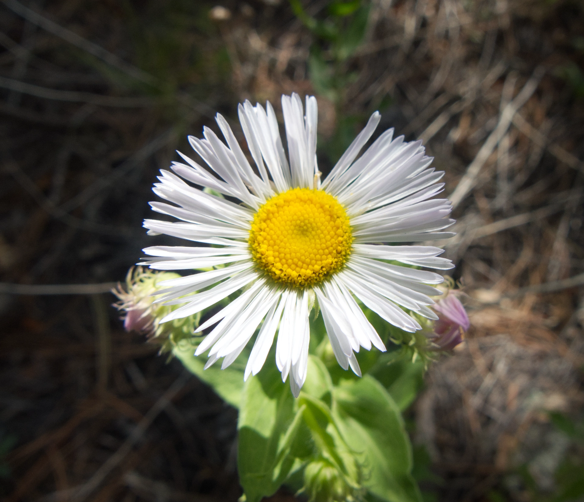
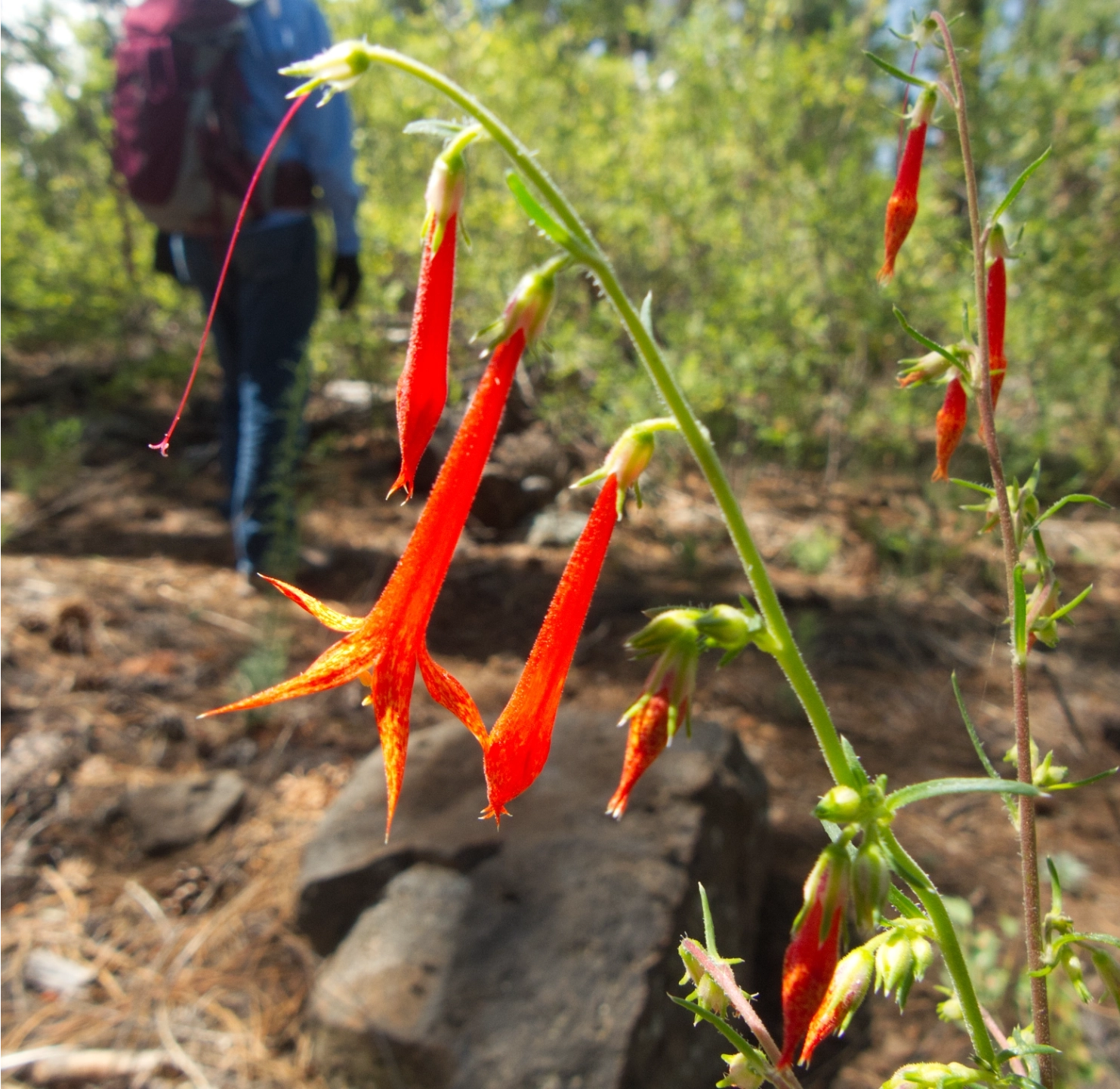
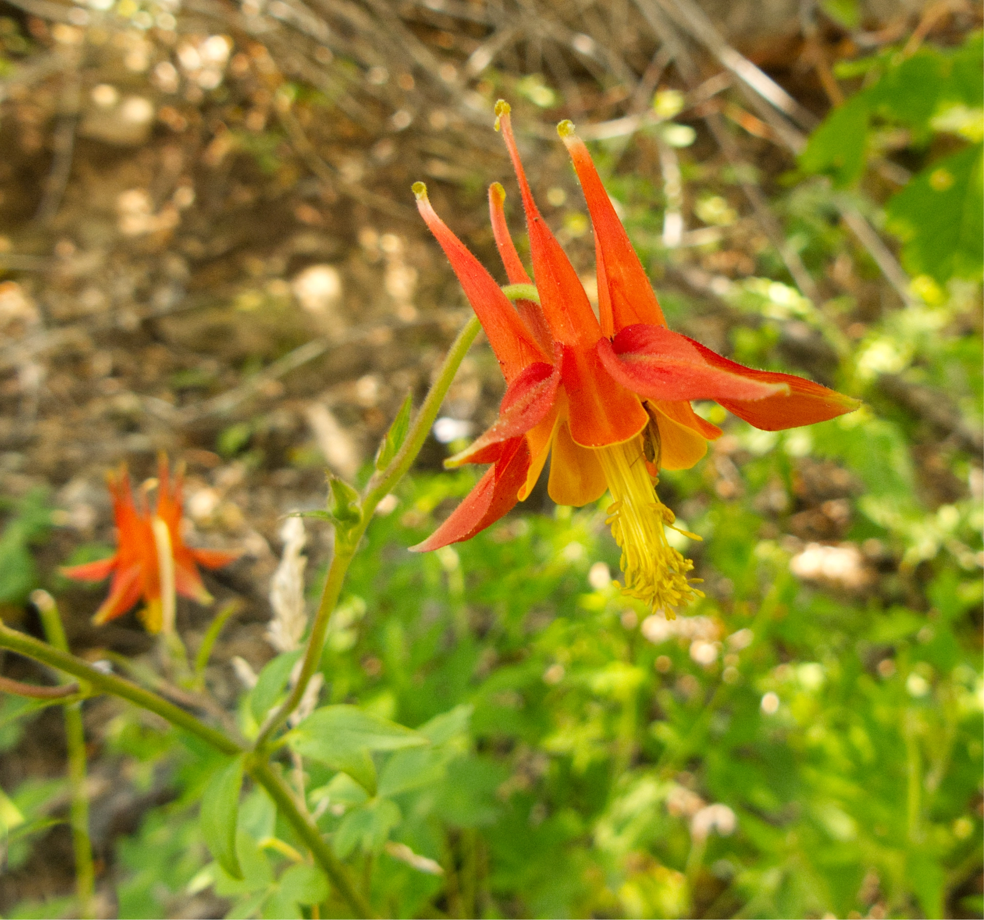
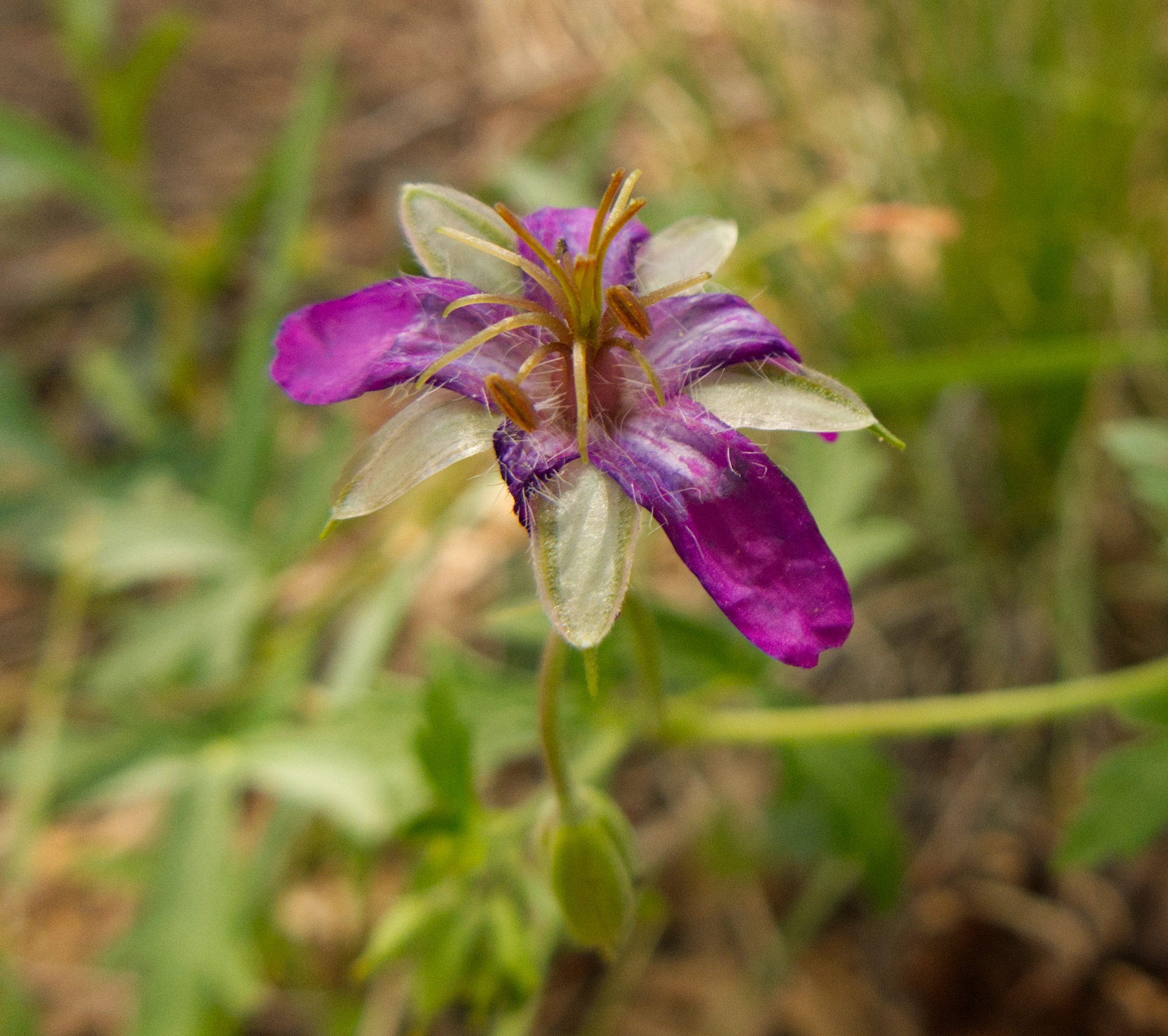
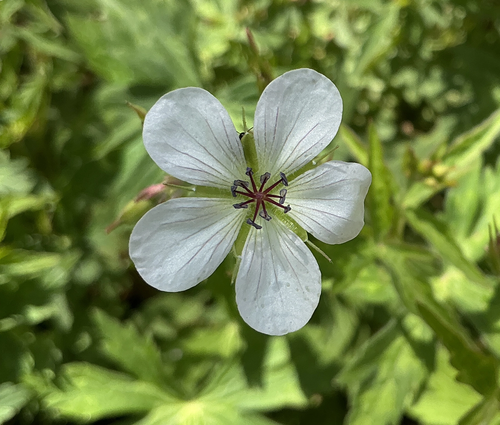
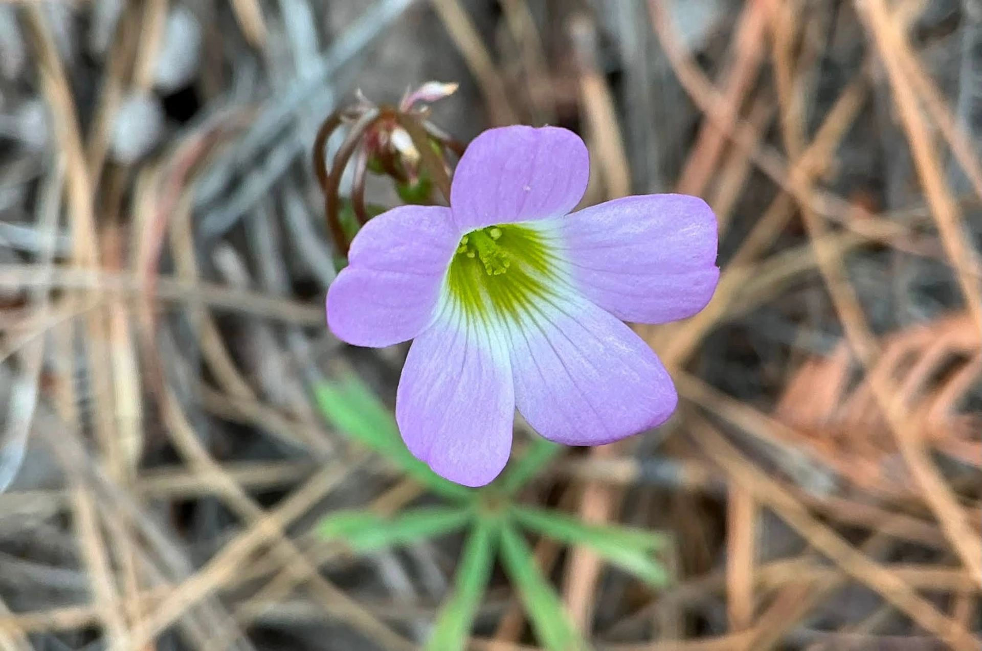
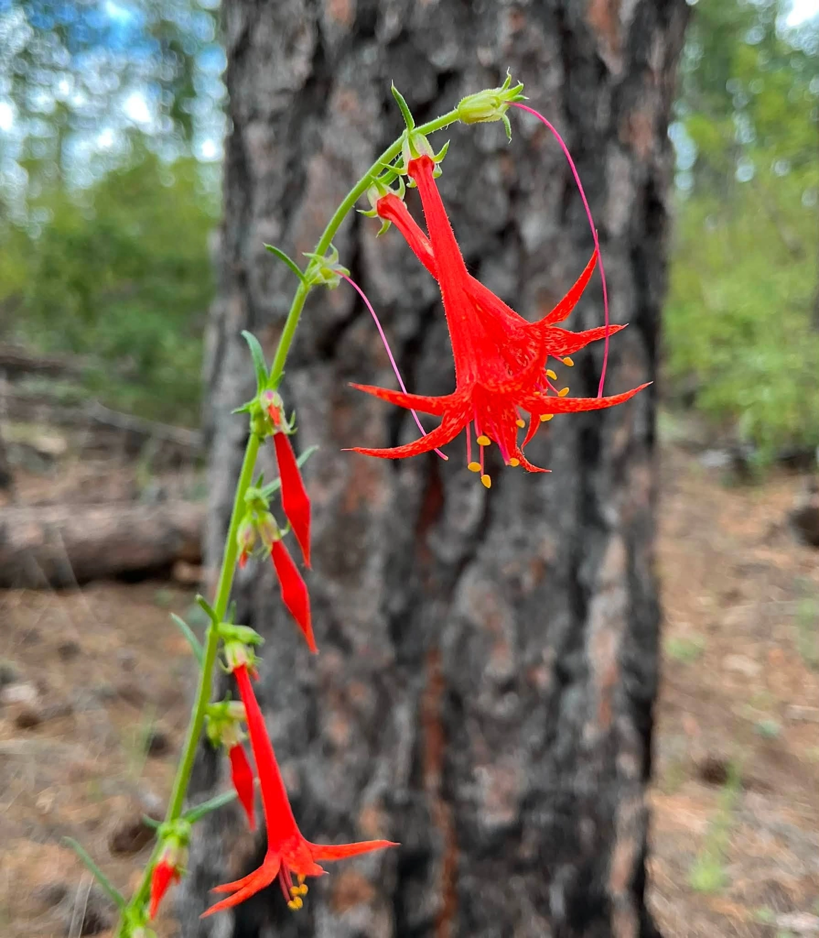
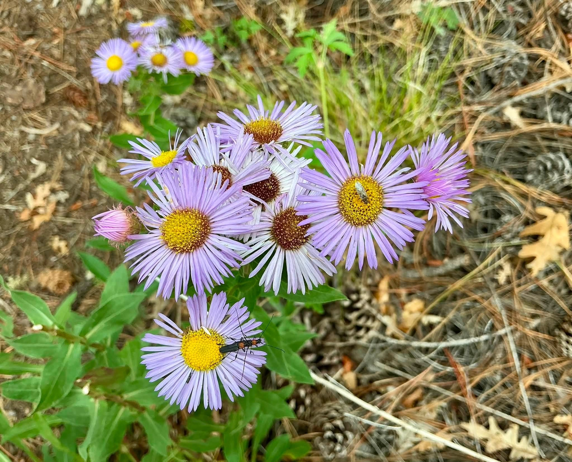
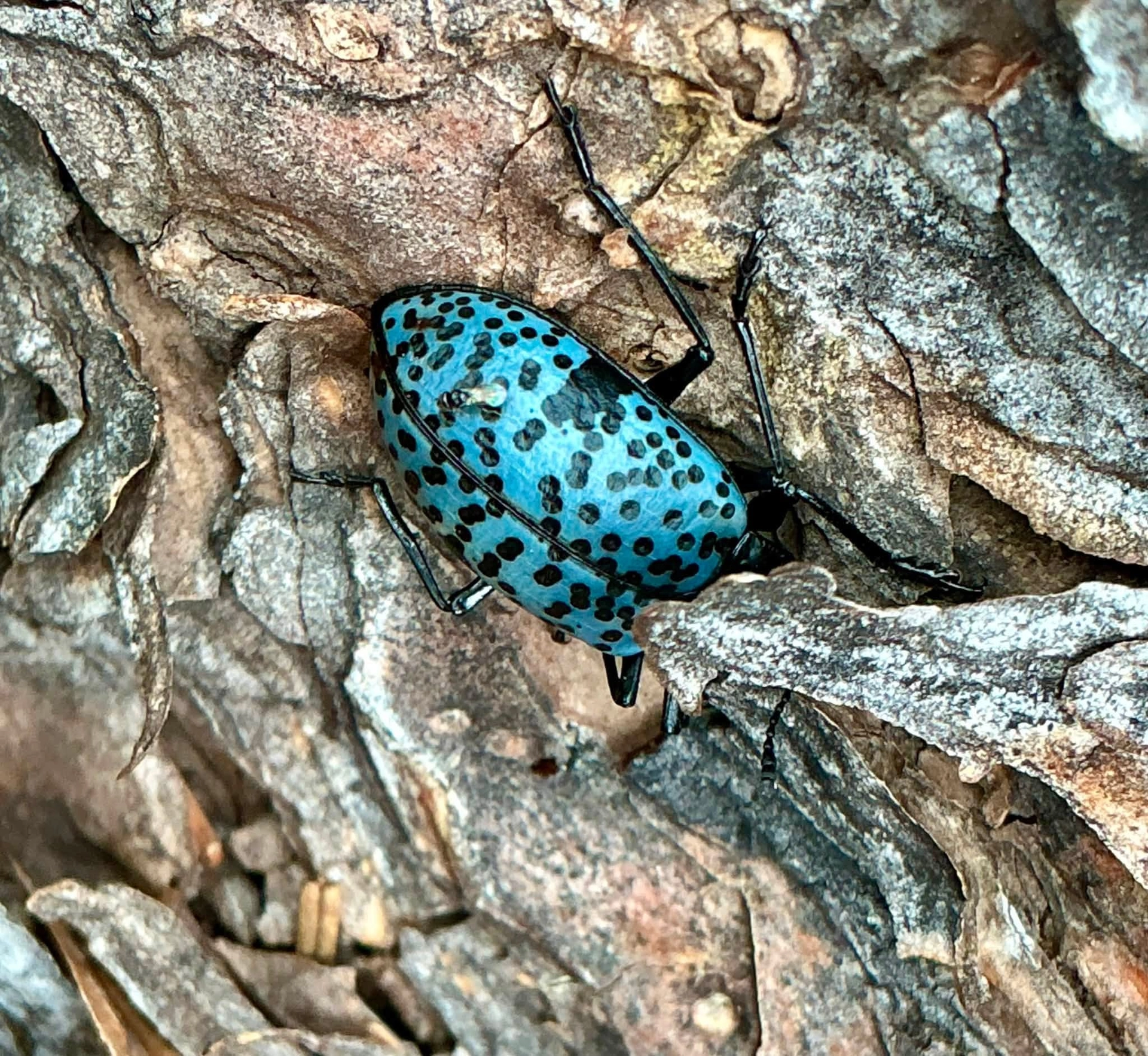
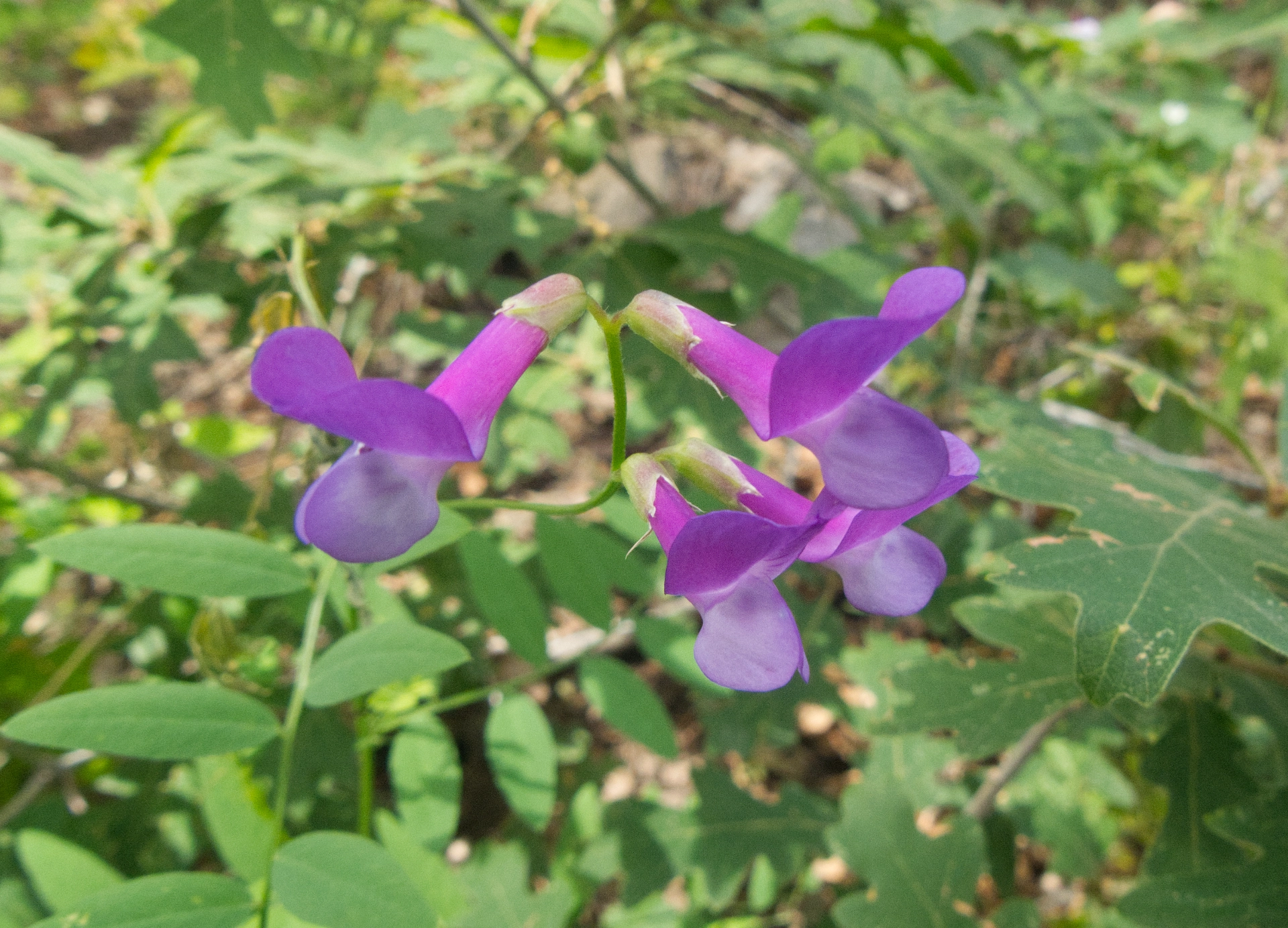
The trail from Signal Peak to Black Peak is a fantastic hot weather hike! It's a bit of a drive — 16 miles on NM 15, and another seven on Signal Peak Road — but it's a beautiful drive! The hike is roughly three miles round trip to Black Peak, and the entire trail is above 8800' in elevation, with about 200' of gain/loss. On a hot summer day, it's a cool green refuge from the heat of the desert. But don't take my word for it, just look at these gorgeous summer wildflowers we photographed along the way: