Steeple Rock and Gila River Petroglyphs
December 9-10, 2024
We were crestfallen when our long-planned train trip to Seattle fell apart the day before our departure. But after a day or so of moping, we concluded that the best remedy was a road trip. We packed quickly and headed out of town, bound to check off a few items that had lingered too long on our hit list.
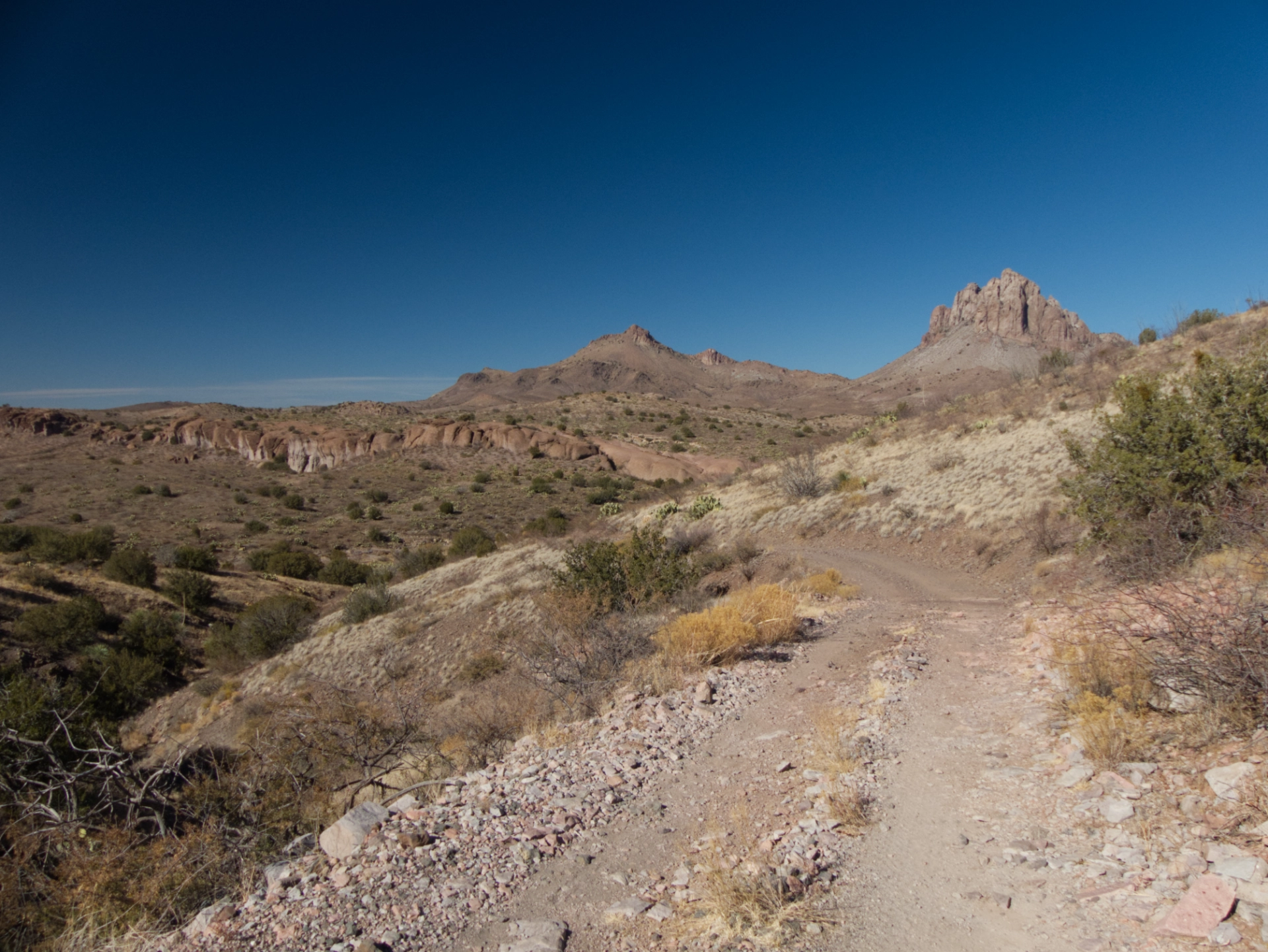
First up was Steeple Rock. This steep-sided peak is visible from almost anywhere in southwestern New Mexico or southeastern Arizona. We got close to this very remote peak in 2019, but ran out of time to explore the area.
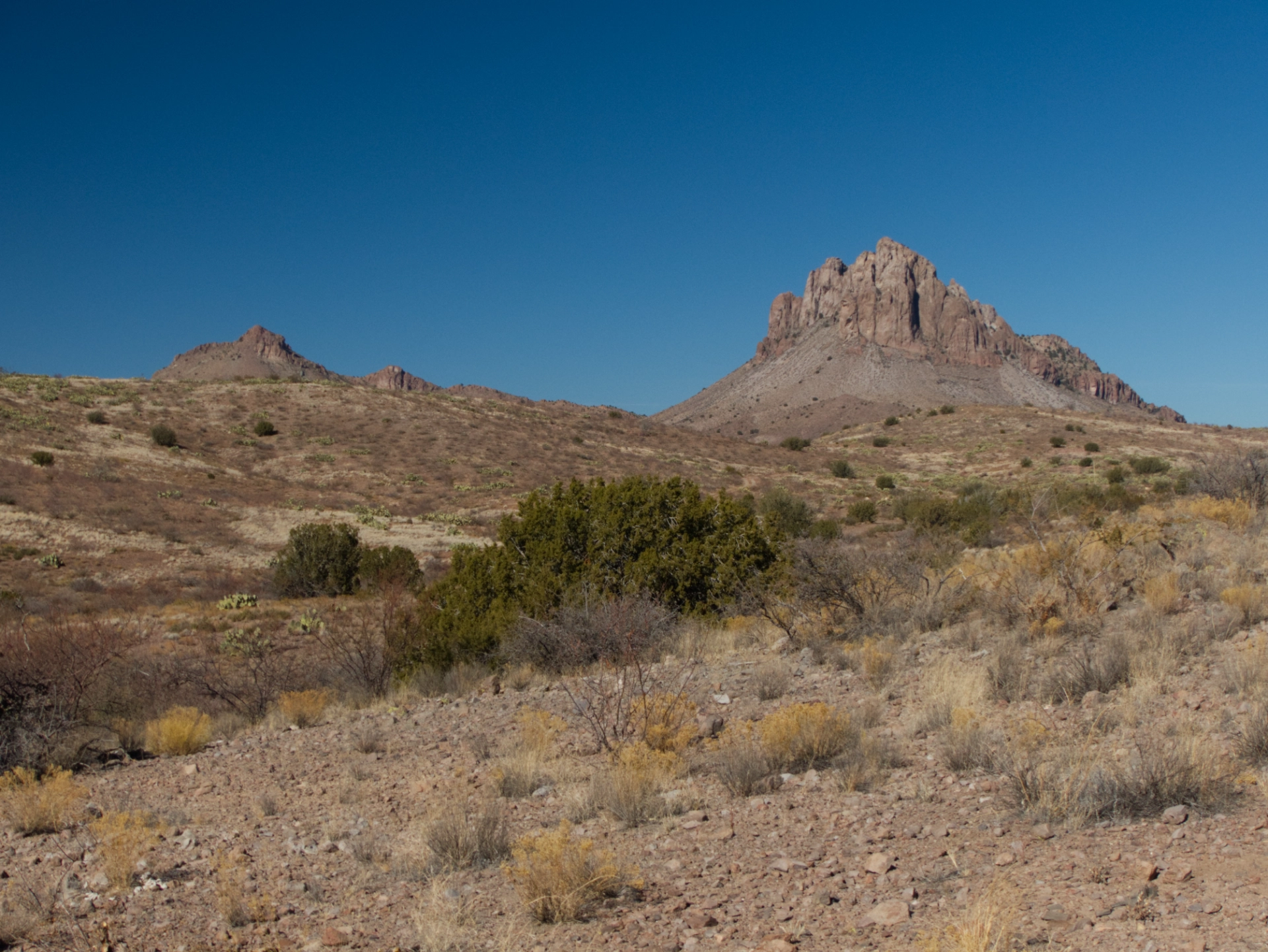
Although it was five years ago, I remembered that the only route to Steeple Rock doesn't appear on any map. Fortunately the actual road has not been discovered by SxS a$$holes, and therefore has not been gated and locked by local ranchers disgusted with the damage they cause.

The road ran out in a wash at the foot of the mountain. We found a primo campsite with a 360° view on a nearby hilltop.
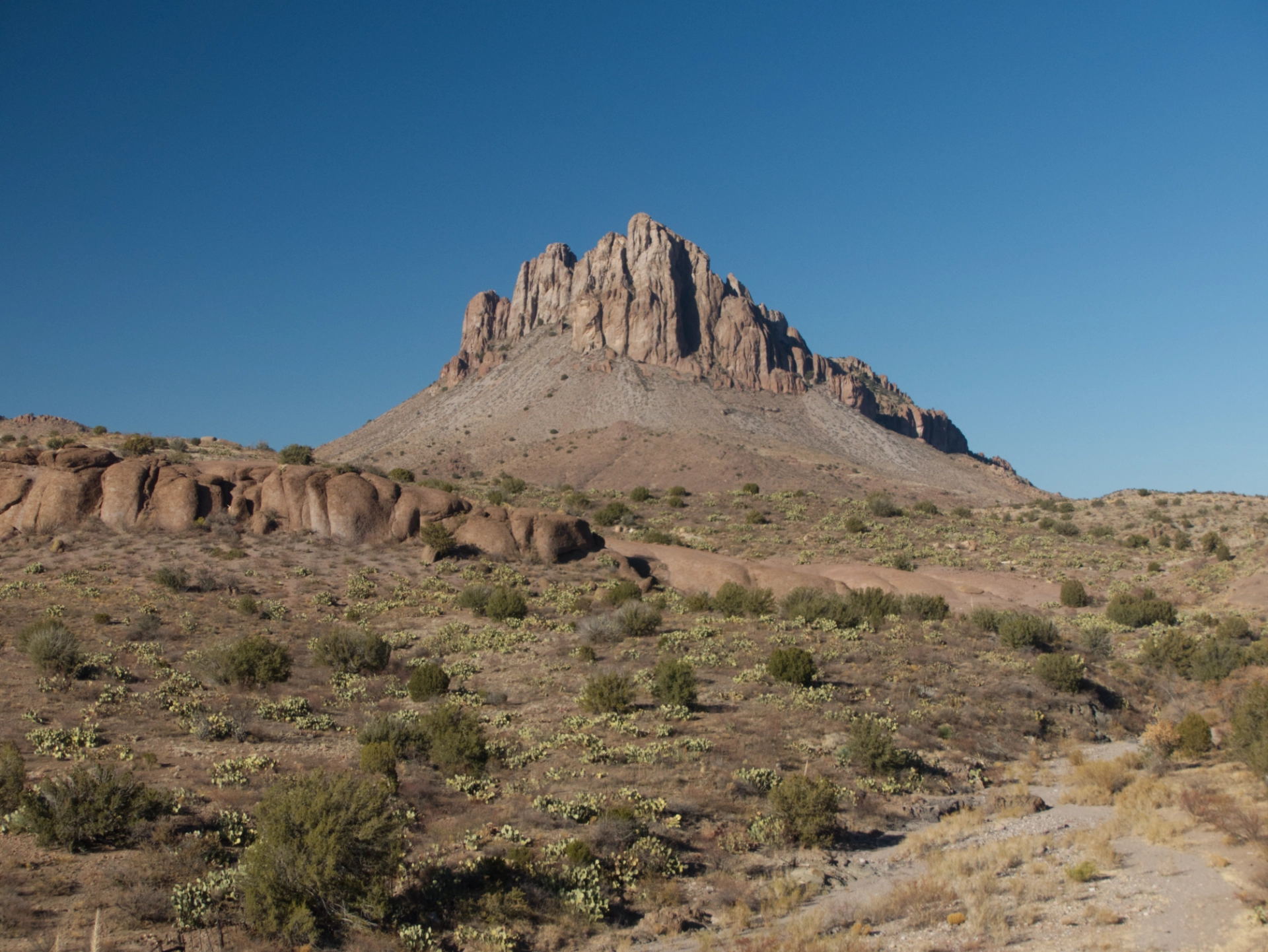
We had no designs to climb the mountain, only to explore around the base. We bushwhacked from camp toward the bizarre, gloppy ridge of ruddy tuff in the foreground.
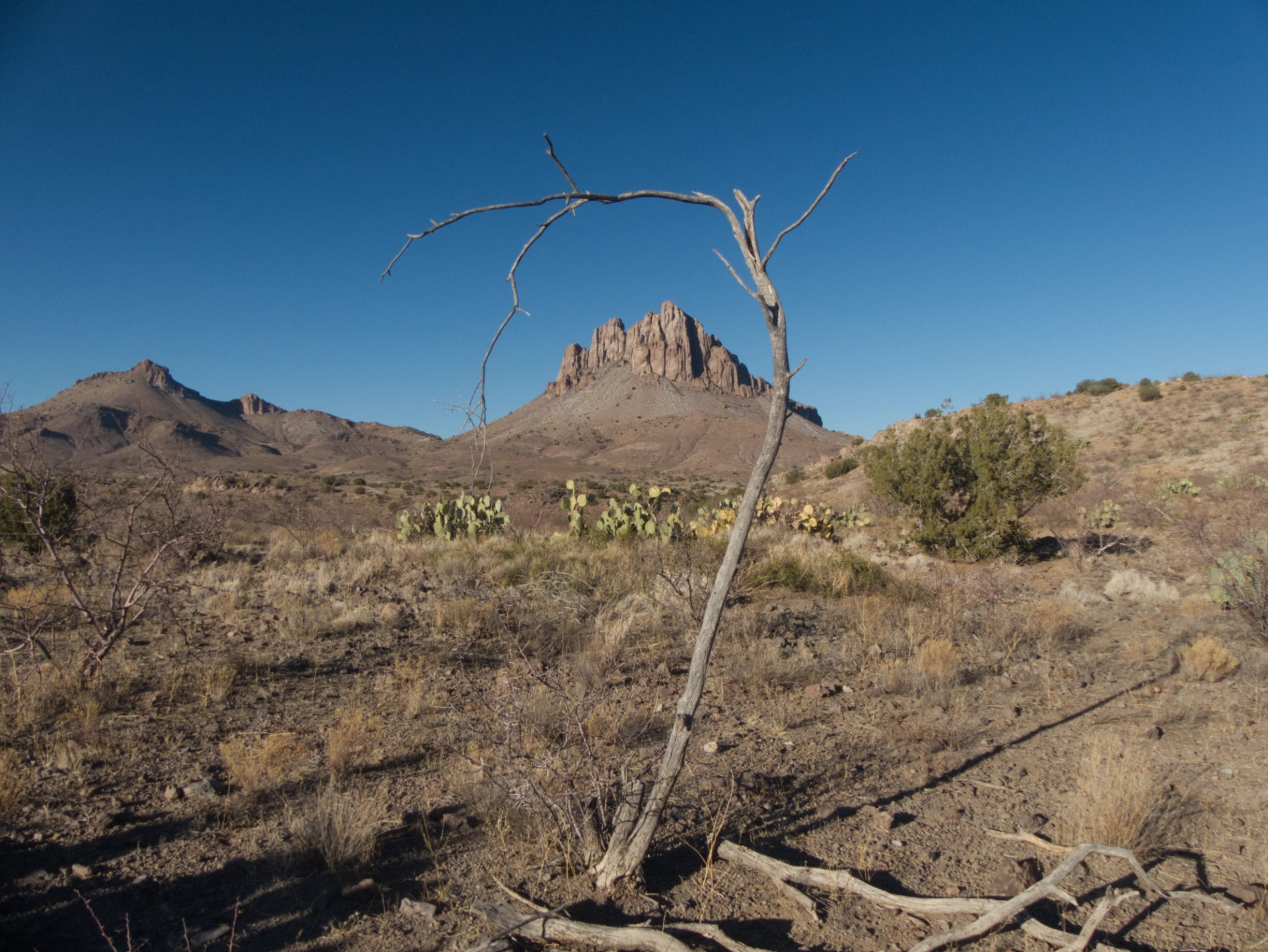
We continued around the ridge and over the next rise, for an unusual view of the mountain.
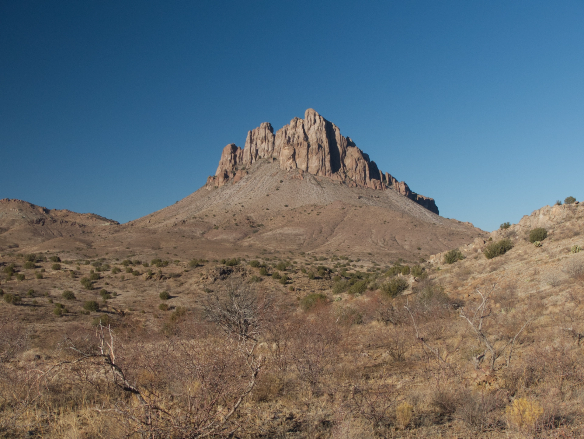
How many people have been this close?
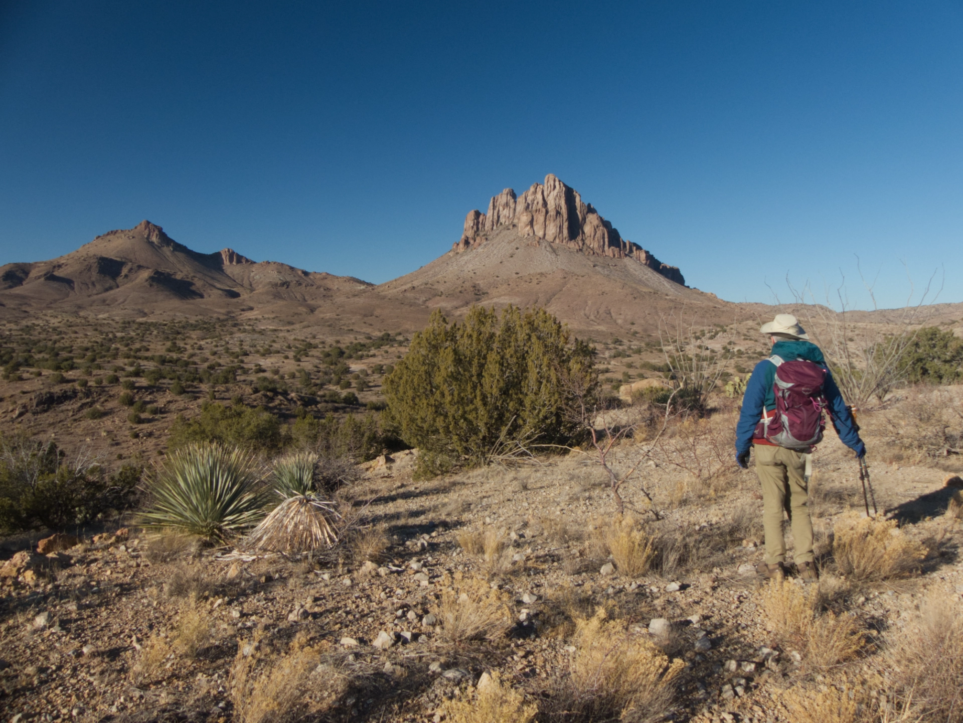
The peak to the left of Steeple Rock is called "Mount Royal", but unlike the one familiar to me, on this Mont Royal, il n'ya pas de patinoire.
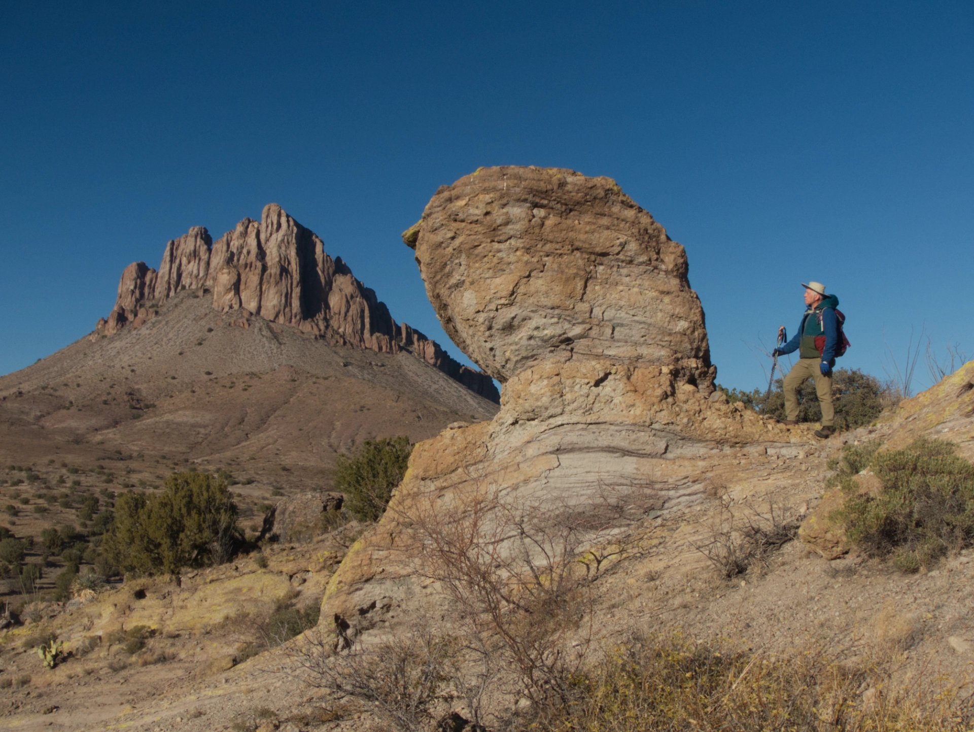
As interesting as Steeple Rock itself were the bizarre rock formations nearby: hoodoos, mushroom shapes, cantilevered rocks ...

But strangest of all was a long passageway that we initially mistook for a road. Apparently some sort of uplifted alternate layer of rock, it slices across the base of Steeple Rock for more than a mile.
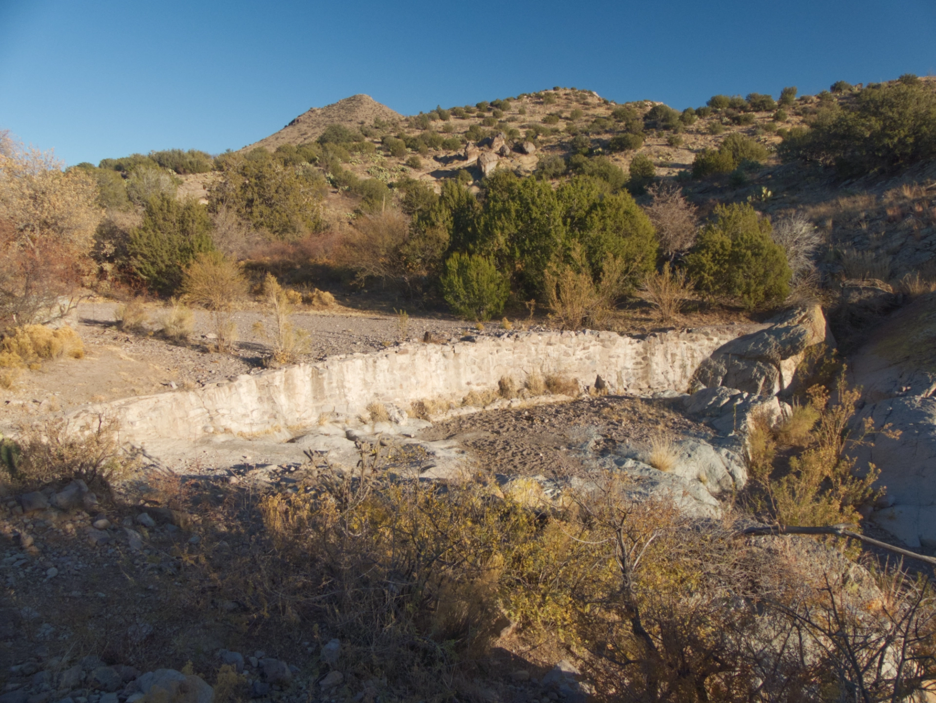
We followed back to the remains of the actual road, passing by an old stone dam. It was thoroughly silted in of course, but years ago it must have formed a lovely pool with a waterfall below it.

Sunset at Steeple Rock. It put on quite a show.
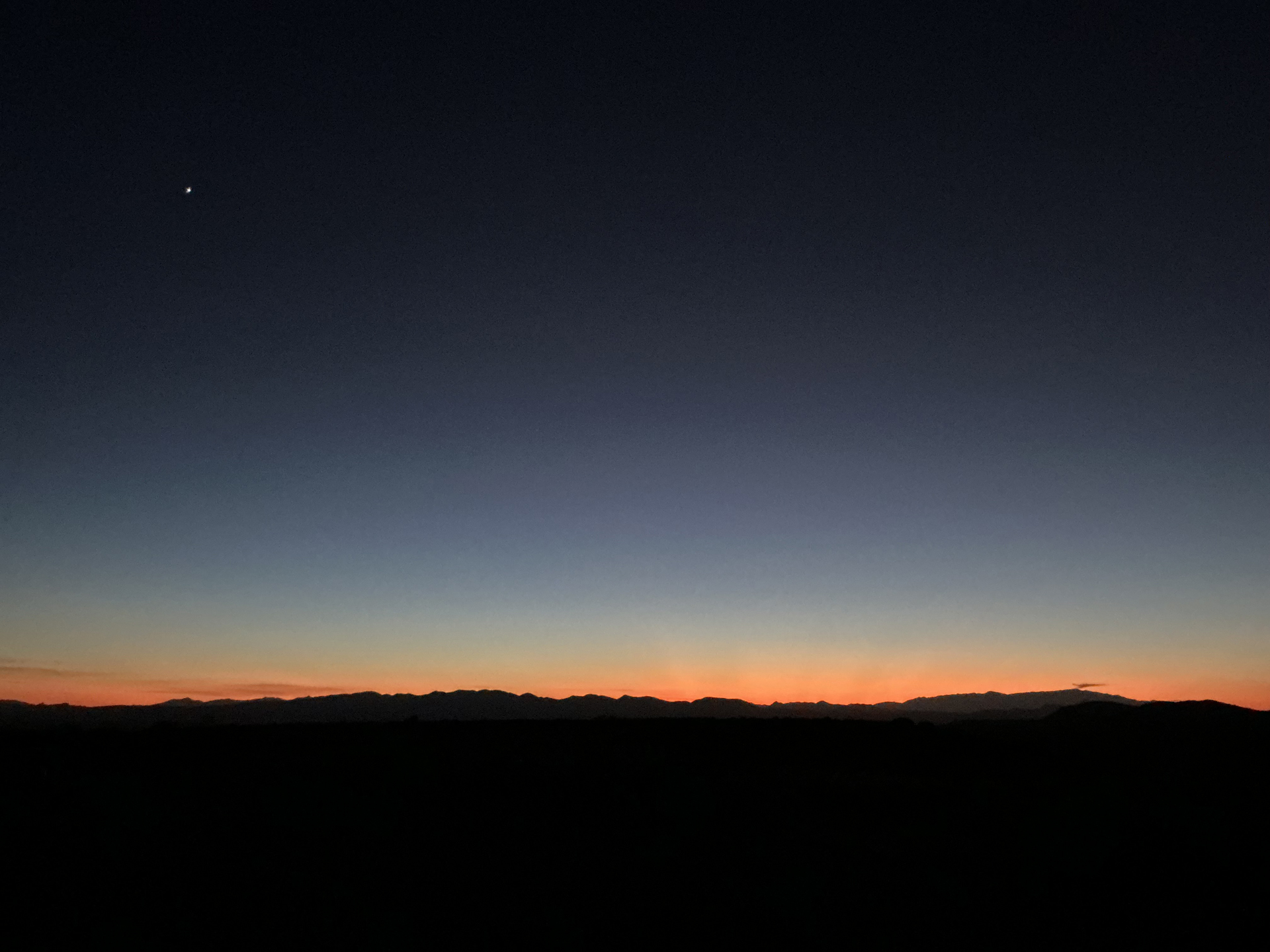
Extremely high wind continued all night, tossing the camper like a hot air balloon caught in a hurricane.
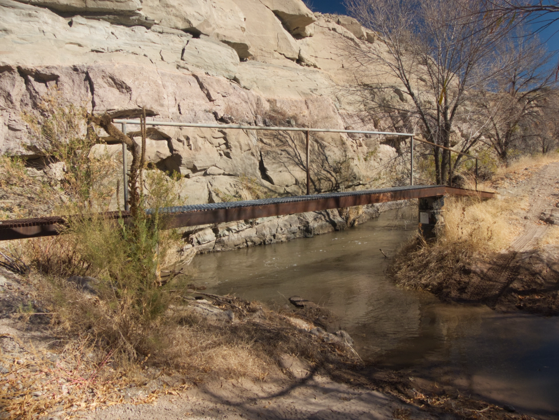
We decamped slowly, and since we were in a mood to achieve the impossible, we decided to try once again to make our way to the special petroglyph along the Gila River. We've been there twice — in 2013, and 2018, but there were many more unsuccessful attempts, including two earlier this year. We crept along the edge of the Gila, on a non-existent road next to an ancient aqueduct.
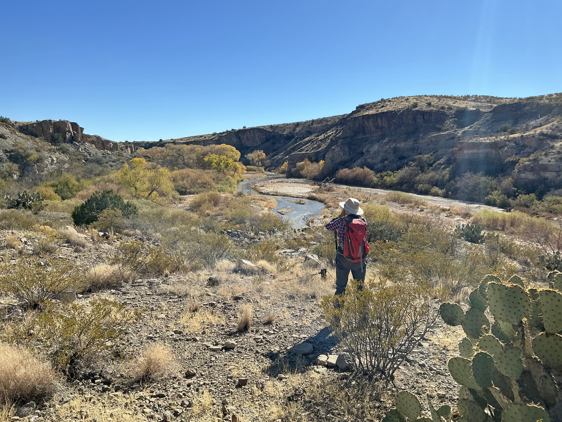
At the end of the road, we scrambled up a steep and stony cliff face, but concluded that our only options were to make our way along the top of the cliff in the hope that we could find a safe way down, or, to crawl across an extremely treacherous talus slope.
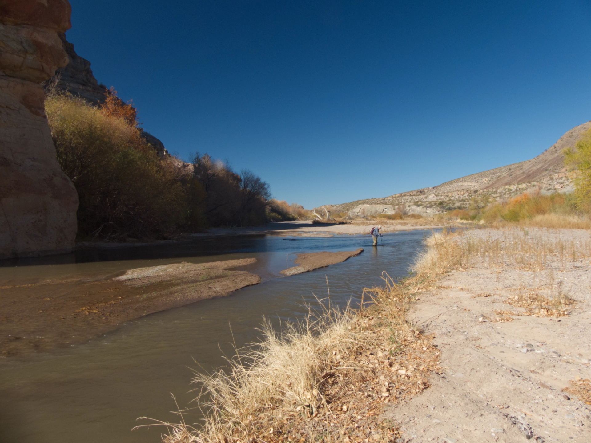
Back down the slope we went, and, after concluding that we could not make our way along the base of the cliff above the aqueduct, we decided our only hope was to wade across the Gila River.
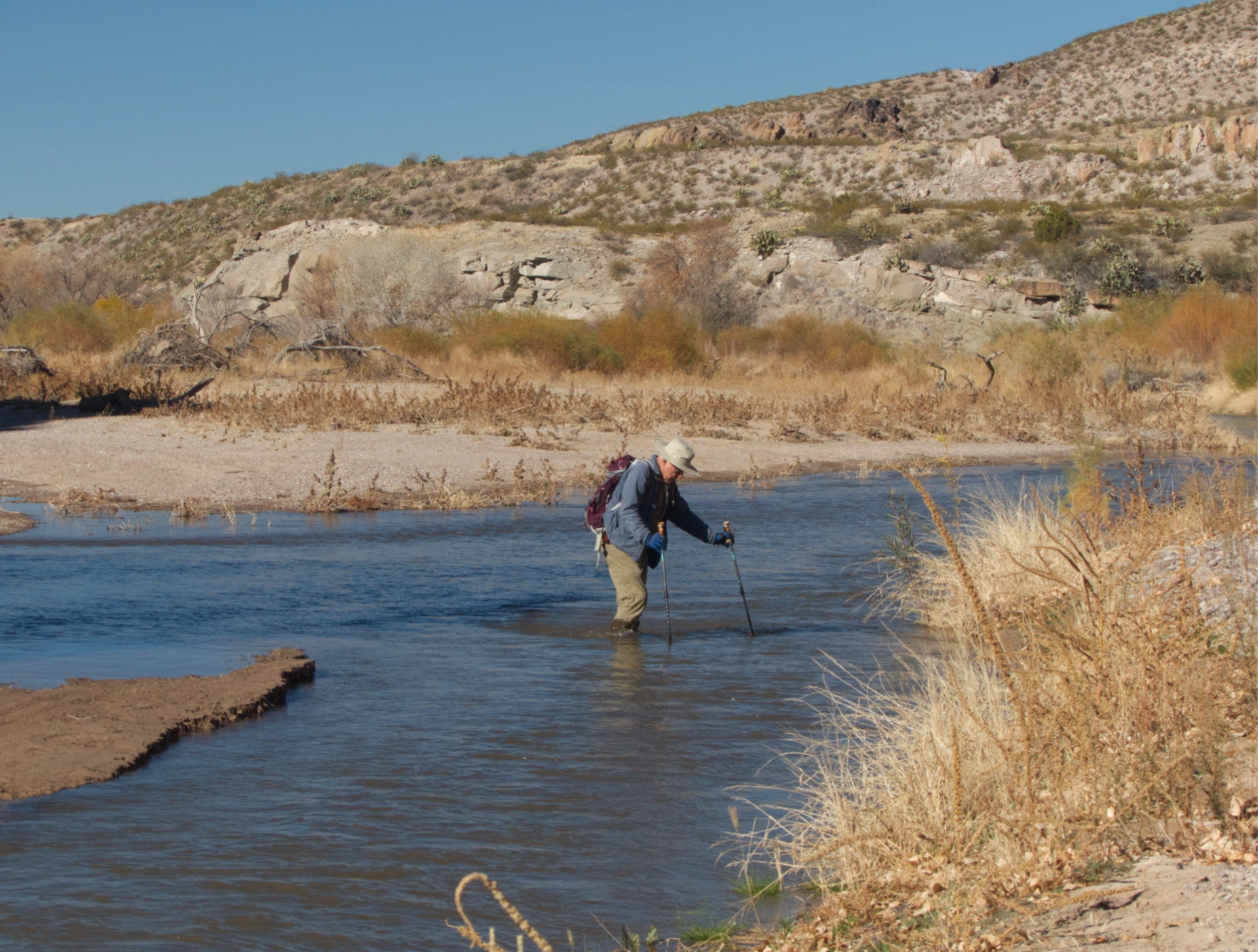
The water was somewhat murky, but I crept across an apparent sandbar, probing carefully with my hiking poles. And while I expected the heart-stopping cold we experienced in 2013, I was disappointed that the water was neither particularly cold nor particularly deep. It should be, it's the middle of winter. More evidence of climate change!
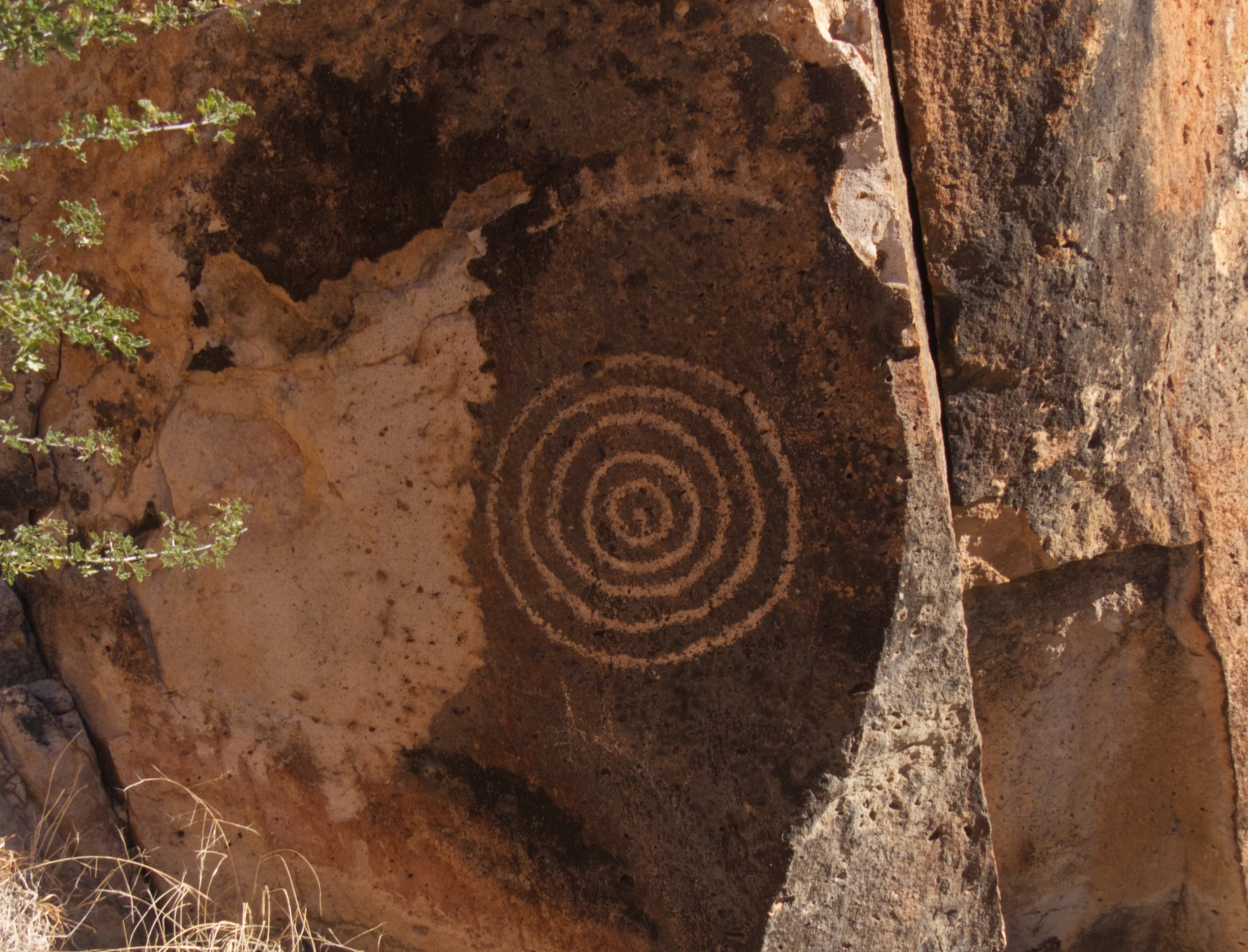
Once across the Gila, we could see some of the petroglyphs on the cliff face. But between us and them was a dense forest of catclaw and thorny mesquite, as well as a wall of house-sized boulders. We probed a couple of apparent openings, including one that contained an old check-in box, a few fence posts, and rolls of barbed wire. At some point, there must have been an attempt to create some sort of limited access here. But the trail, if there ever was one, was buried in an impenetrable maze of brush and boulders. By then it was late afternoon, and we had completely given up on reaching our goal, but for some reason we continued wandering, and stumbled upon a narrow passage in the wall of rock at the base of the cliff. After hacking our way through some of the catclaw, I remembered it from our first trek to this area in 2013. One last scramble up a slope of loose scree, and we reached the old trail below the petroglyphs.

And there it was, the special petroglyph, exactly where I had dropped a pin six years ago!
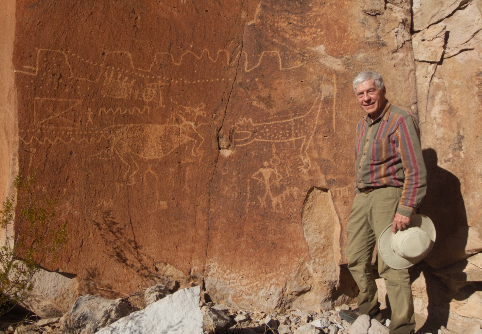
The figure on the right seems to be attacking another animal, whose head is rotated backwards. But there is obviously much more to this story.
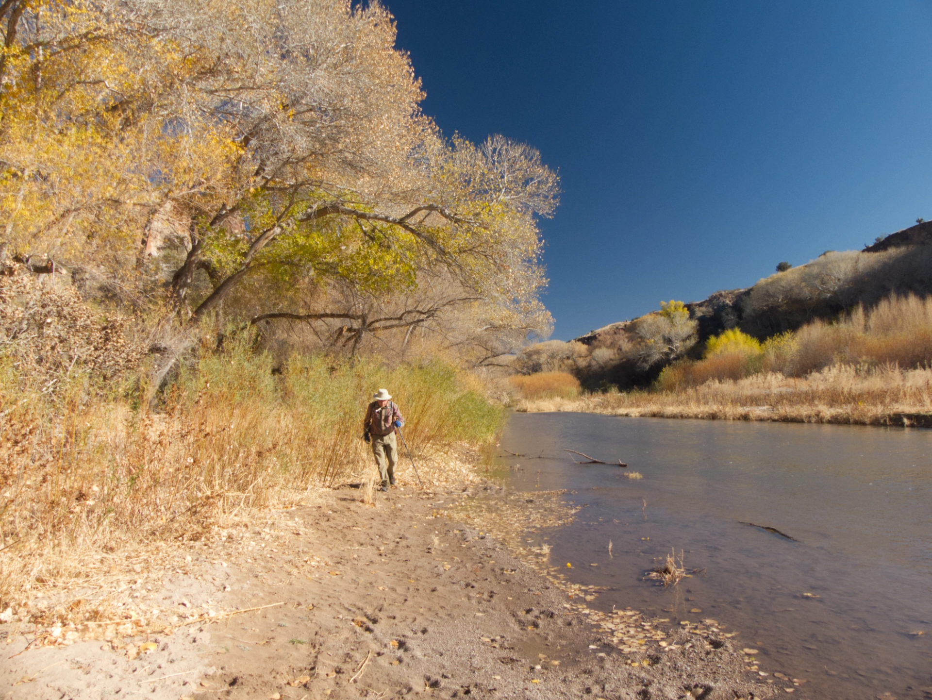
Making our way back along the river. There were hundreds of animal tracks in the sand, and the cottonwoods still glowed with a hint of yellow.
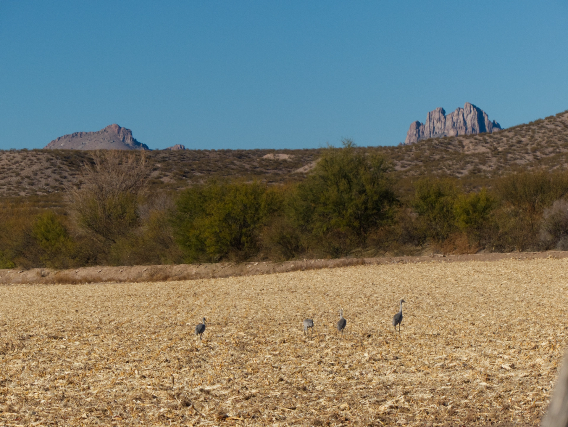
Cranes foraging in a field near Duncan, with Mount Royal and Steeple Rock in the background. What an amazing two-day adventure close to home!
