Birthday #70 on the Cumbres & Toltec
October 7-17, 2023
It was the usual mad dash to pack for a 10-day trip, with a last-minute complication when our apple tree suddenly decided it was time to produce several bushels of fruit. I ran all over town delivering apples, like the apple fairy. We even dropped some off on our way out.
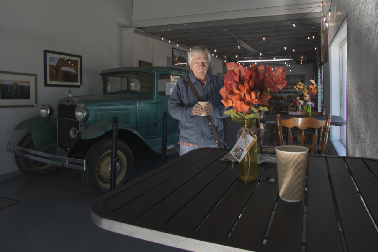
We spent the first night in one of our favorite remote sites near El Morro National Monument. Then it was off to our mandatory stop at the Mount Taylor Coffee Company. It was there we learned to our dismay that Matt and Susan would not be able to join us after all. But we had our home on wheels, our cats and our credit cards, and the weather was perfect. So we would soldier on.
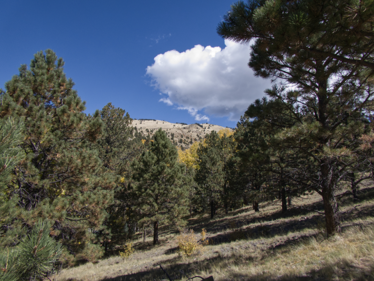
Now running nearly a full day ahead of schedule, we decided we could squeeze in a hike on Mount Taylor.
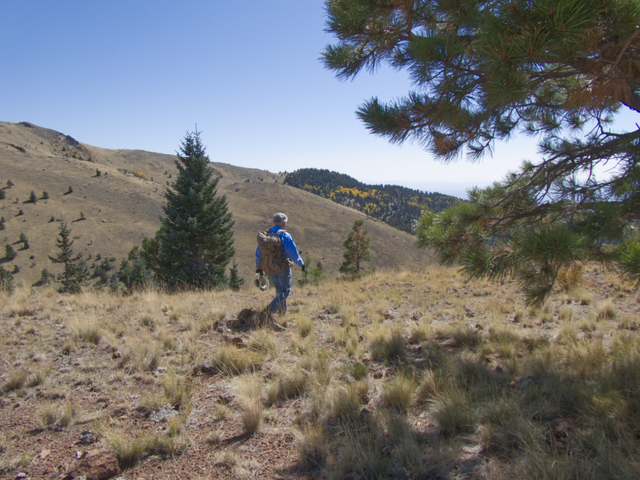
We headed up the Gooseberry Trail and made it to around 10,200.
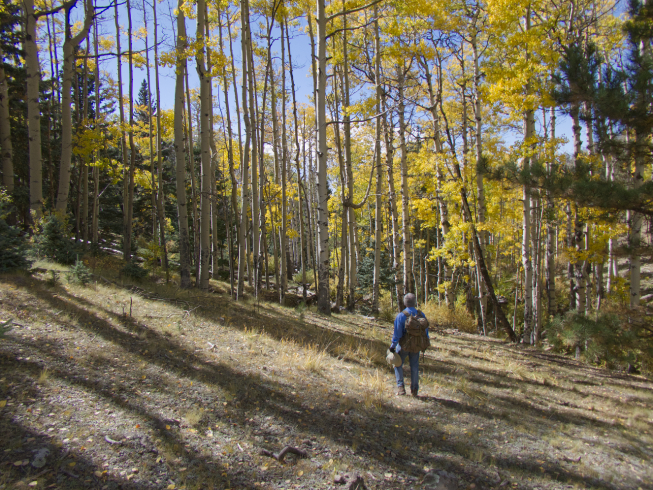
We came hoping to see some golden aspens, which were mostly clustered along the creek.
A nice pano from above the tree line.
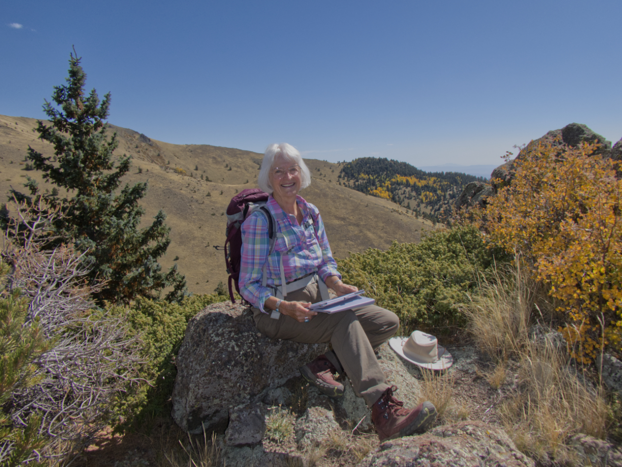
Our lunch spot on the nose of a ridge.
Golden aspen glory. It was a delightfully chilly night at a primitive campground about halfway up the mountain.
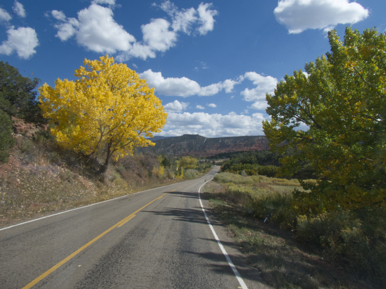
All day we drifted across Navajo the reservation, a land of endless low mesas, ominous large-scale mining operations and only a few signs of human habitation. Fall colors emerged at lower elevations as we eased our way north.
We had booked a campsite at Abiquiu Lake, but all of the open spots were in a treeless fenced area with neighbors 10 feet away on three sides.
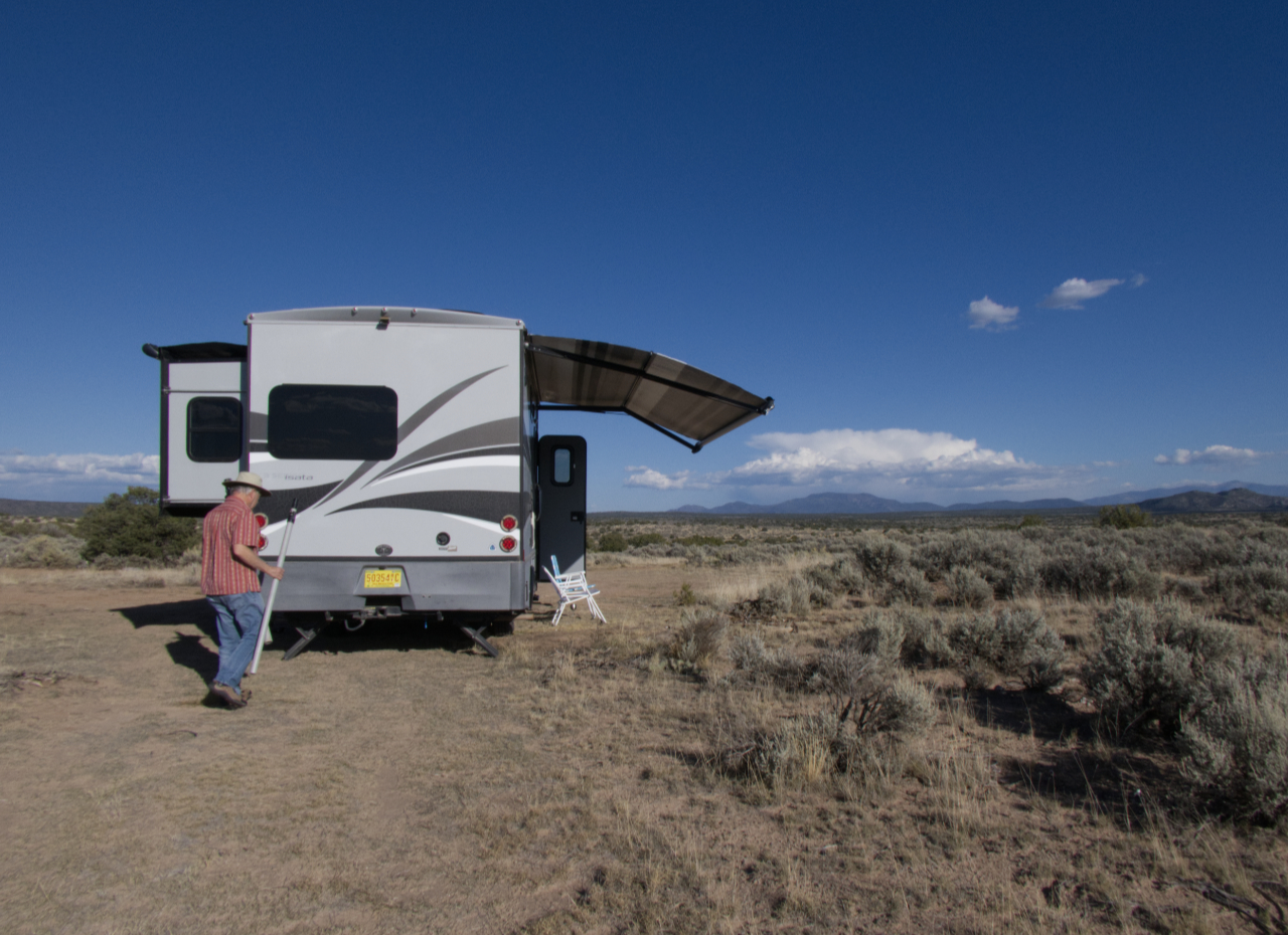
We got back on the road and drove another two hours to a rough camping spot just inside the Carson National Forest, with killer views of the Sangre de Cristos. And we only had to shove aside one discarded mattress! Dennis put up his dipole and had a nice chat on 80 meters.
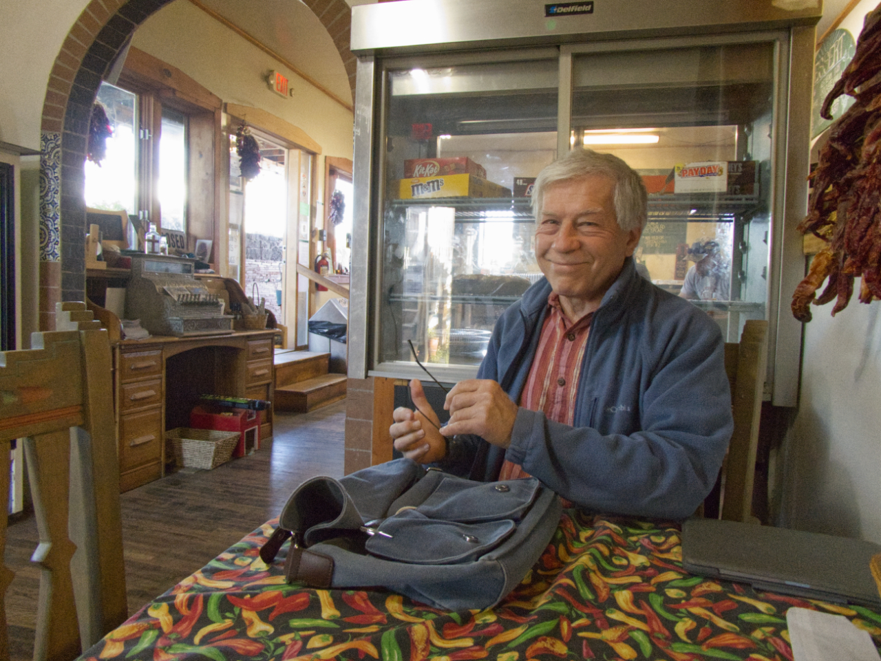
Breakfast at the Chili Line Depot, a 100-year-old former bar and dance hall in Tres Piedras. The Chili Line was a spur that ran from Santa Fe to the Denver & Rio Grande.
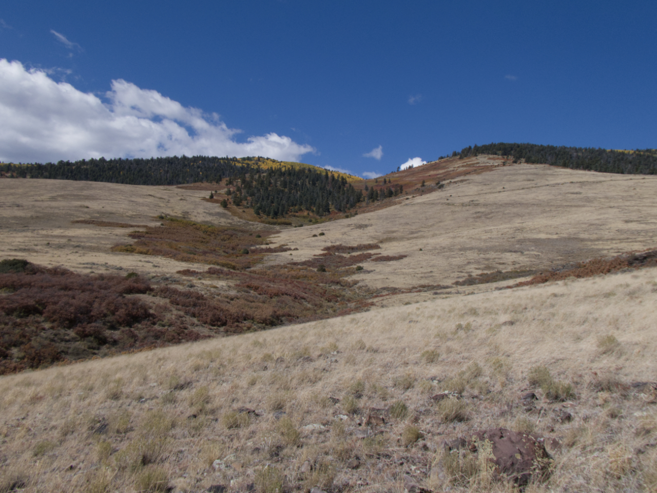
San Antonio Mountain, a solitary shield volcano near Tres Piedras, has bedeviled me for years. Now nearly a full day ahead of schedule, this seemed like a good opportunity to explore it.
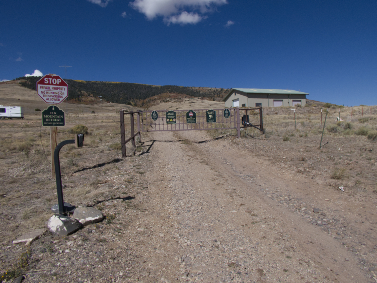
All maps old and new show that this area is either BLM or part of the newly-designated Rio Grande del Norte National Monument. Yet someone has erected multiple locked gates across numbered National Forest roads. The gates block access to thousands of acres in public land in the Carson National Forest. One of the signs says access to San Antonio Mountain is limited to "official business", but no agency is named.
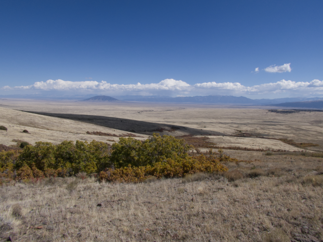
Not wishing to test the threat of "six months in prison for violations", we bushwhacked miles out of our way, which put the summit out of reach. But we are just PO'd enough to dig into this issue and make trouble.
Miss Bea Haven at the junction a L-O-N-G way away!
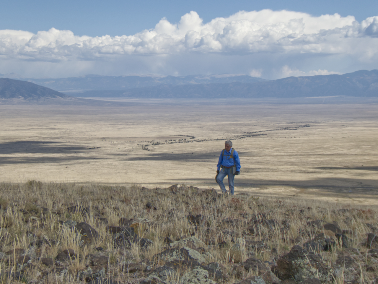
It was tough picking our way up a steep basalt-studded hillside, and taking care to avoid the one-square-mile of purported private property. The "hike" nevertheless yielded some stunning views of the vast yellow grass plain, and shafts of rain darkening the Sangre de Cristo Mountains.
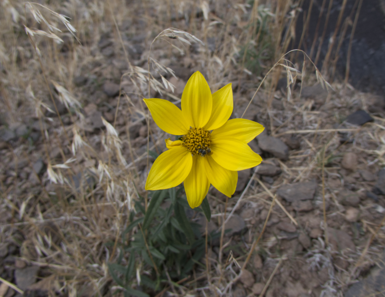
A few wildflowers lingered, including this nodding dwarf sunflower.
We were aiming for that hillside of golden aspens, but eventually realized there was a steep ravine and another mile of bushwhacking ahead of us.
A good zoom captured the sun-soaked forest we could not quite attain.
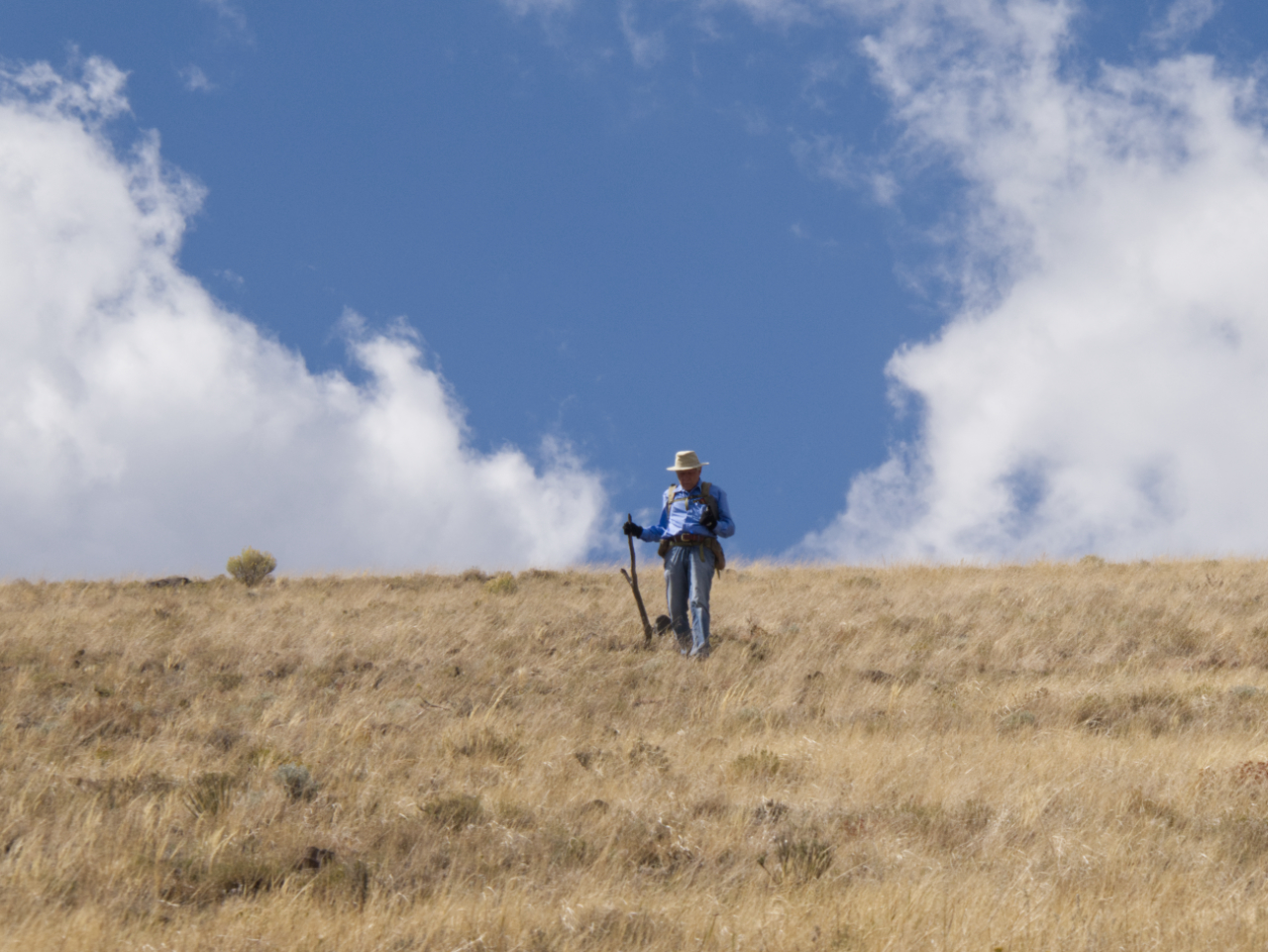
Starting down. It was time to find a place to tuck in for the night.
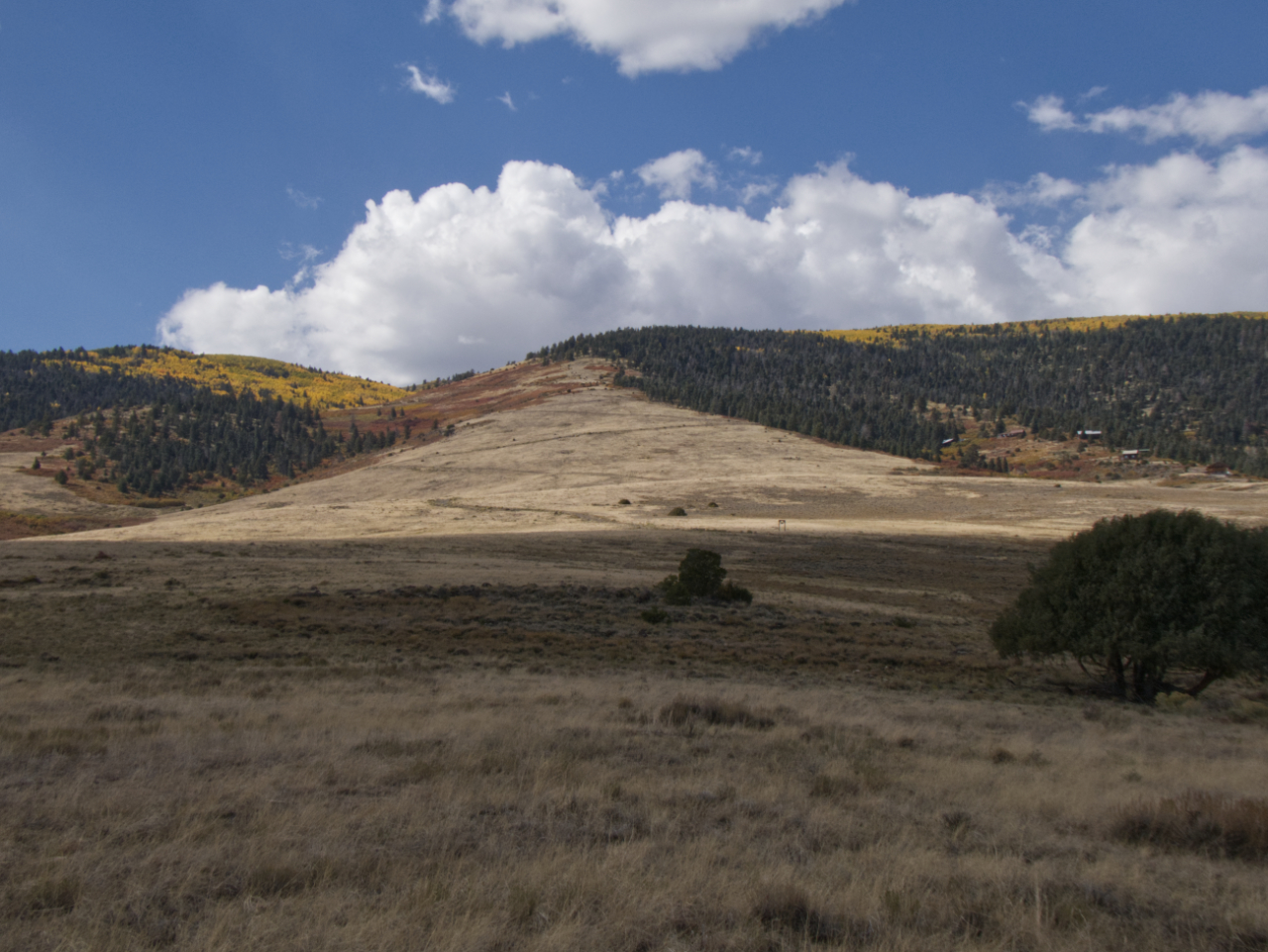 A last look — for now — at San Antonio Mountain.
Next
