Dog Canyon Trail
November 17, 2022
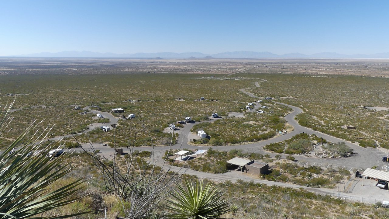
The following morning we relocated to Oliver Lee State Park, an excellent campground at the foot of the Sacramento Mountains, with a nice assortment of tent and RV sites, great views and — the ultimate camping luxury — hot showers!
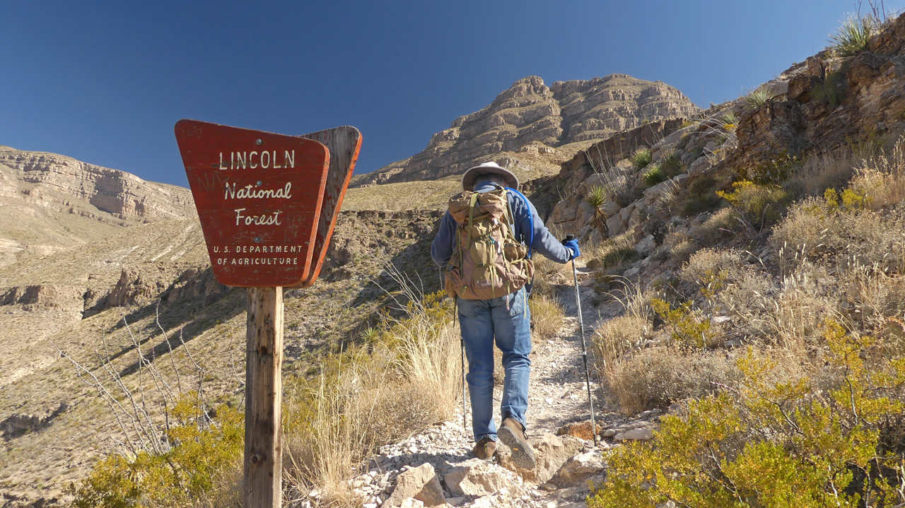
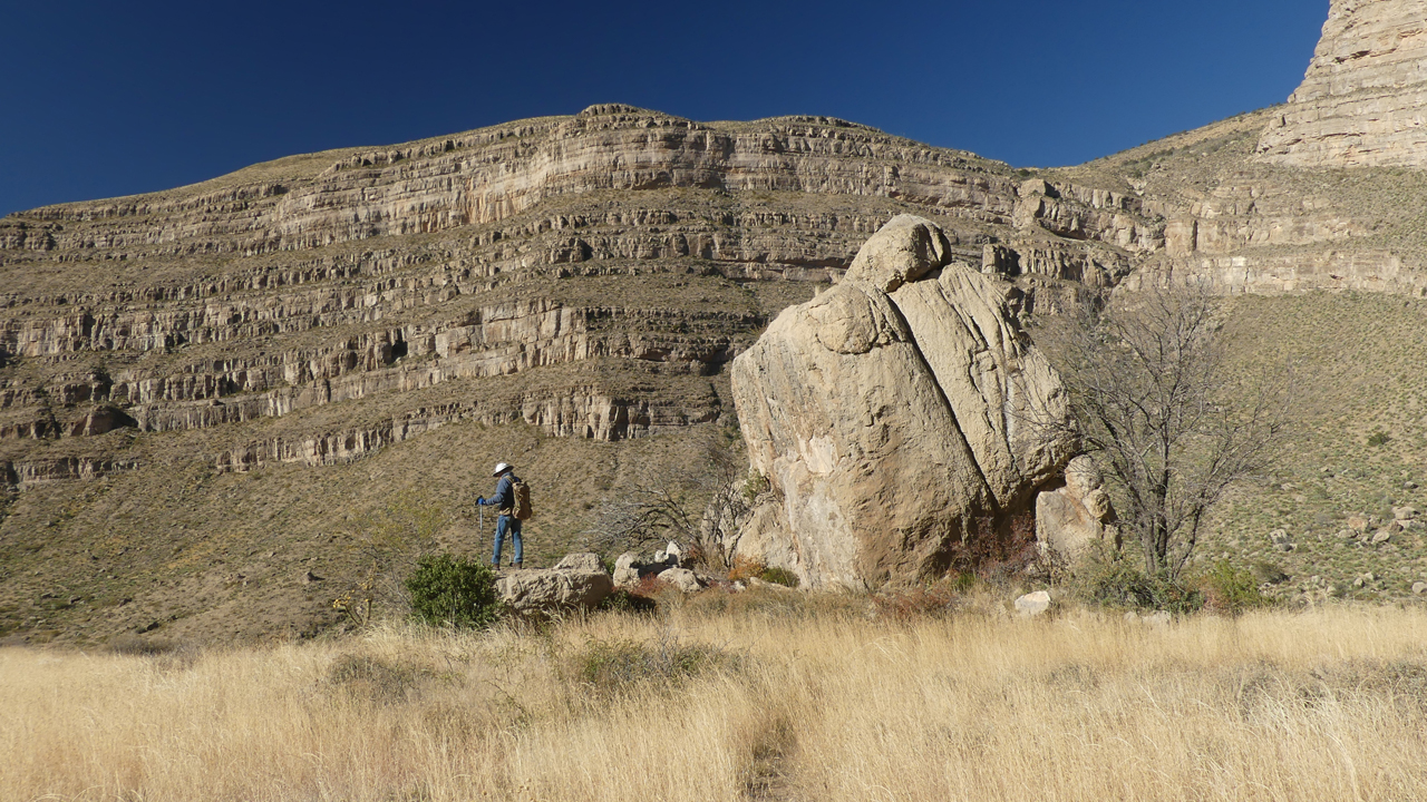
With the most promising forecast for the week, we chose this day to hike the Dog Canyon Trail. We thought it would be a riparian hike, maybe the New Mexico version of Sabino Canyon. Whoops! This is a challenging trail that climbs 3100' in 5.5 miles. The first half mile will weed out all but the most determined hikers.
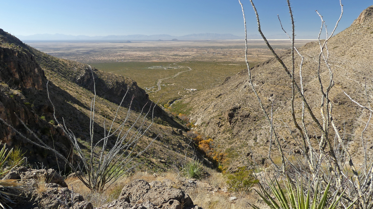
Looking down canyon toward the Tularosa Valley. Brilliant fall foliage marks the location of a tiny stream in the canyon bottom.
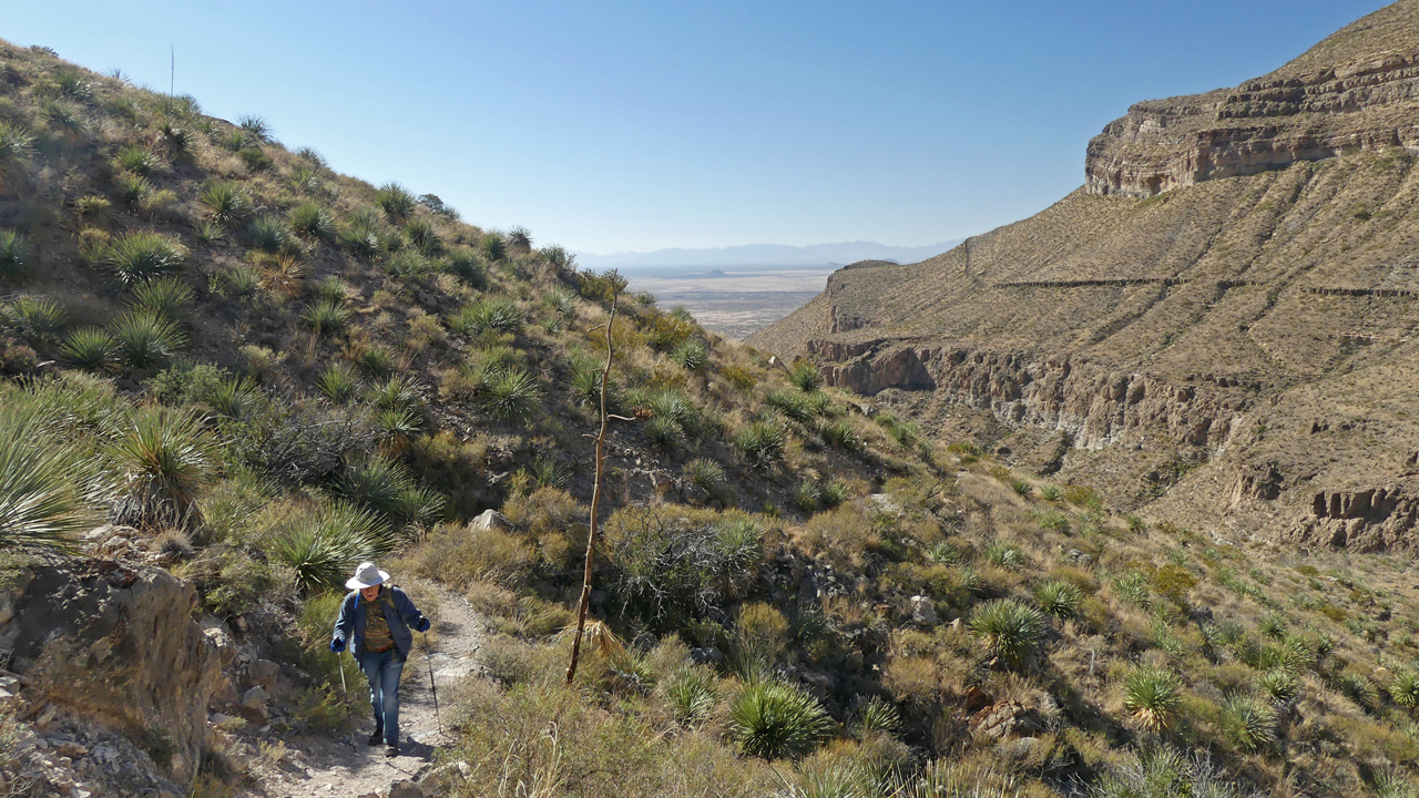
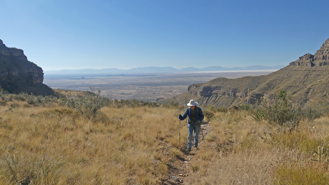
Instead of following the stream, the trail climbs high into the foothills. The many-layered cliffs on the opposite wall are part of the rugged western escarpment of the Sacramento Mountains, composed of sedimentary rocks about 7500 feet thick.
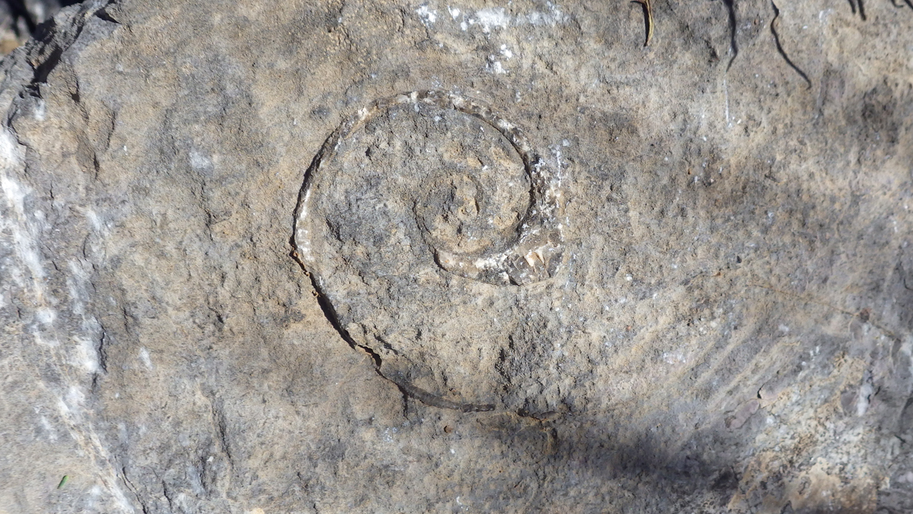
We expected to see fossils among the strata, and Dennis was delighted to photograph this sizable ammonite etched into the limestone.
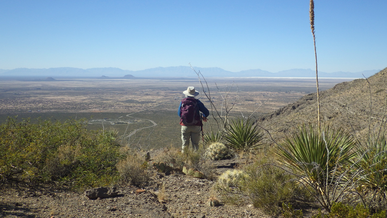
The second of two strenuous climbs took us to the top of a large mesa, where the trail winds through a meadow of tall grass and staghorn cholla.
From here, topping out at around 6000' feet, there were fine views of the shimmering expanse of White Sands.
"Sedimentary, my dear Watson."
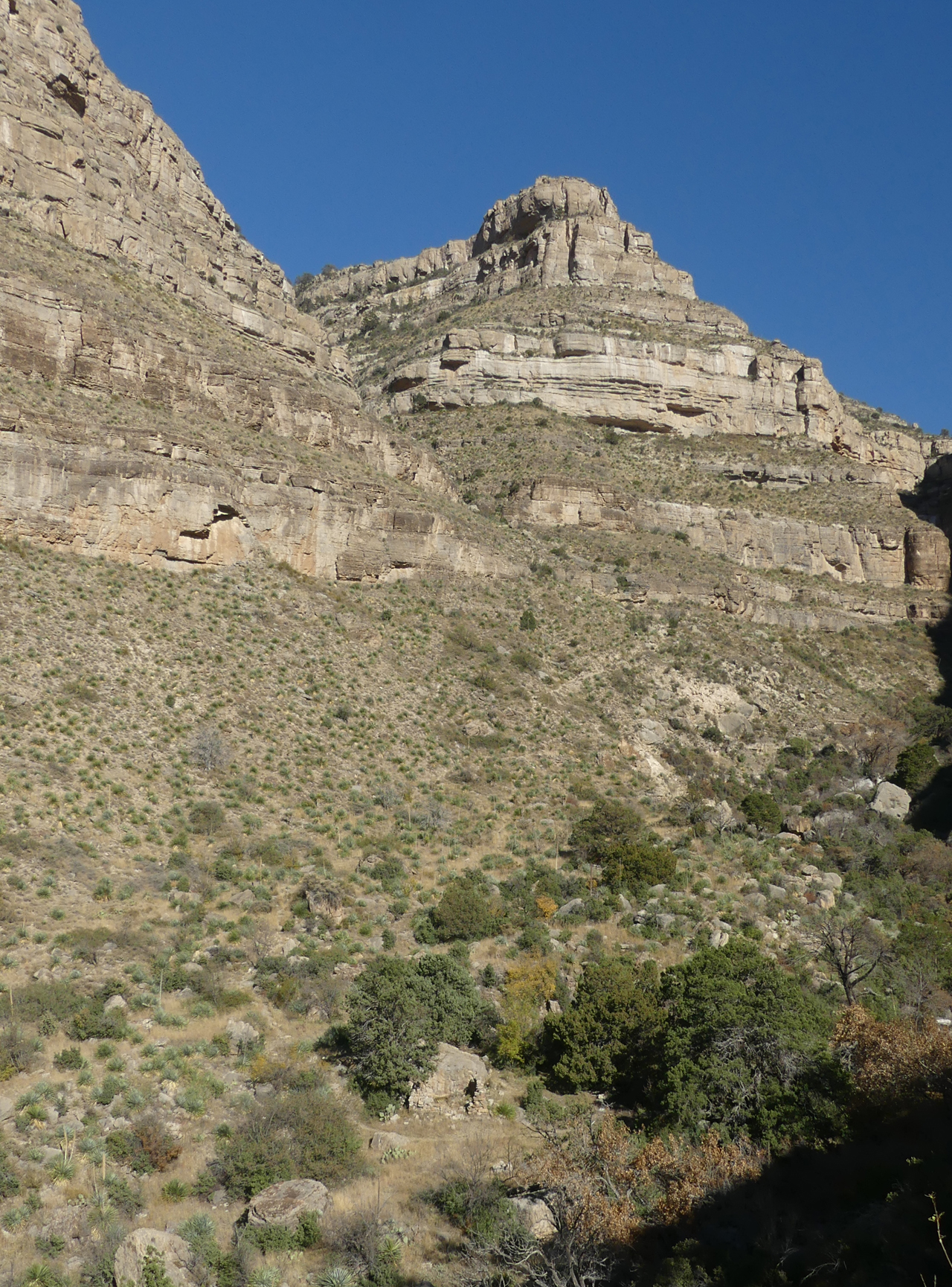
At 2.9 miles, after a 2000-foot ascent, the trail finally intersects the canyon. Visible near the bottom of this photo is the remains of an old stone cabin. The trail continues another 2.6 miles to a junction with an old forest road on Joplin Mesa, rising 1000' in .8 miles, and that is NOT a hike I need to do!
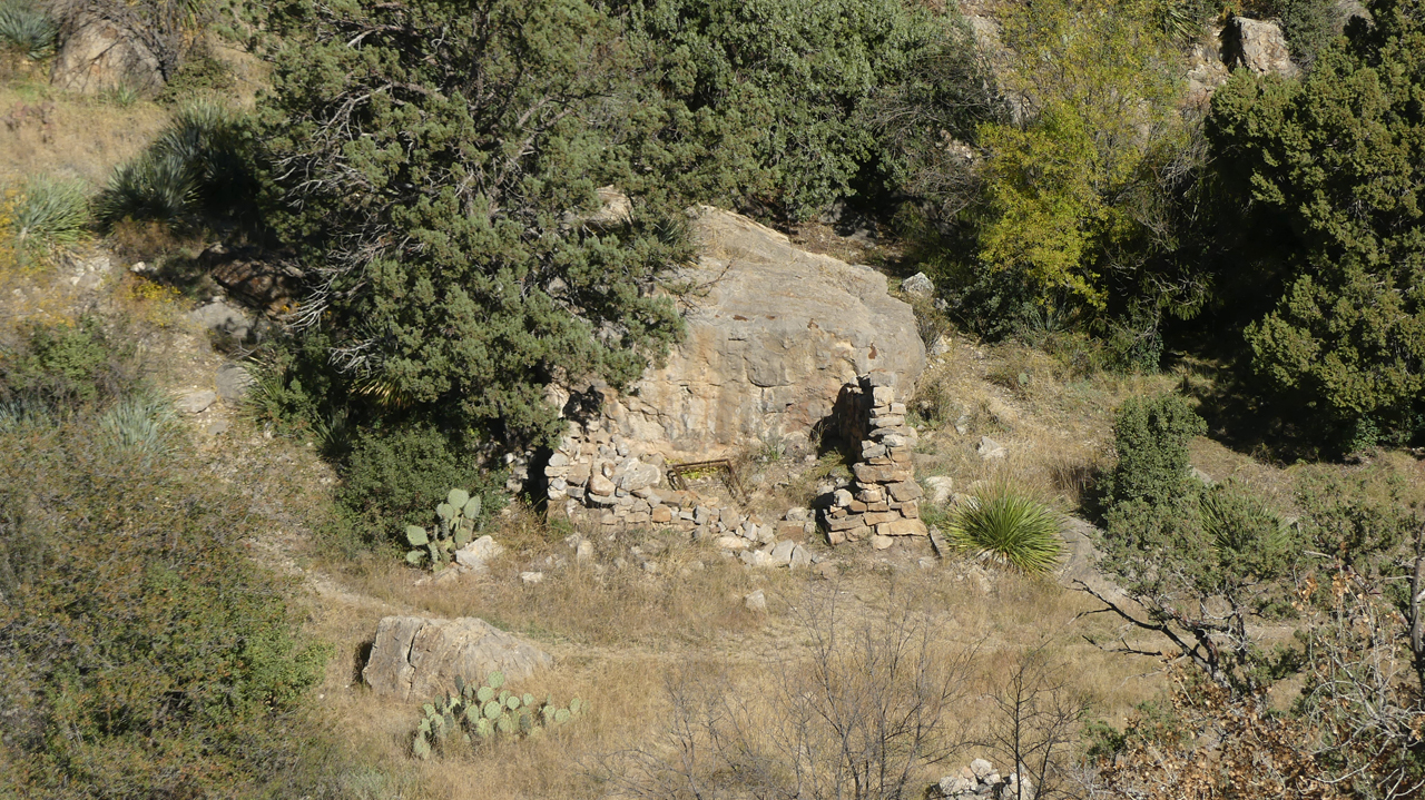
Close-in view of the cabin.
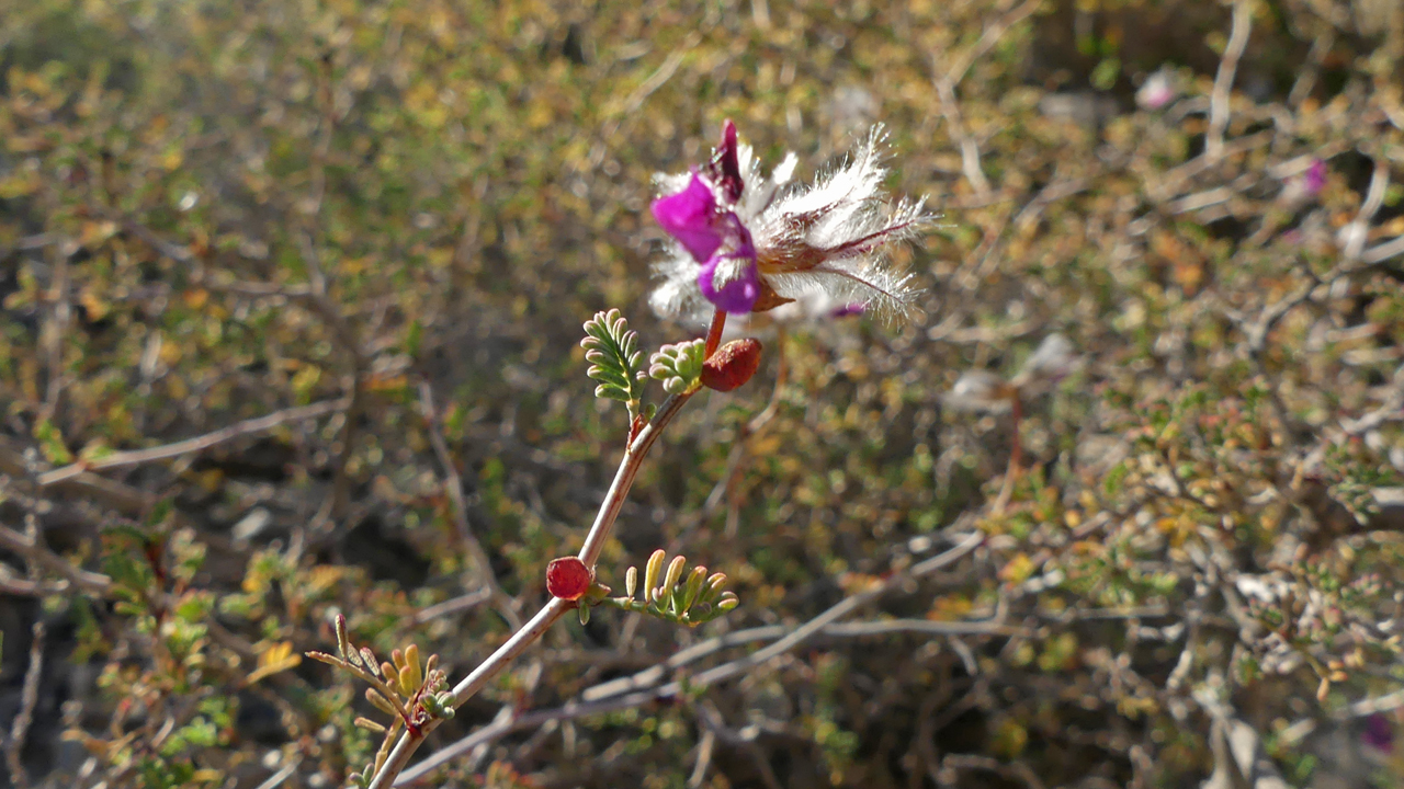
Bush dalea blooming in November, at 6000 feet.
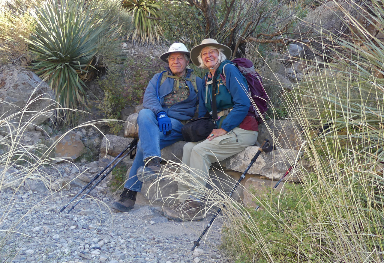
Dennis and me taking a break on the way down. It was a tough but thoroughly rewarding hike!
Previous Next