Bisti De-Na-Zin | Ah-Shi-Sle-Pah
March 16-22, 2025
A planned expedition to Bisti De-Na-Zin and Ah-Shi-Sle-Pah was derailed by an unusually warm and dry spring followed by a cold and snowy winter (yes, you read that correctly). This year the seasons are backwards.
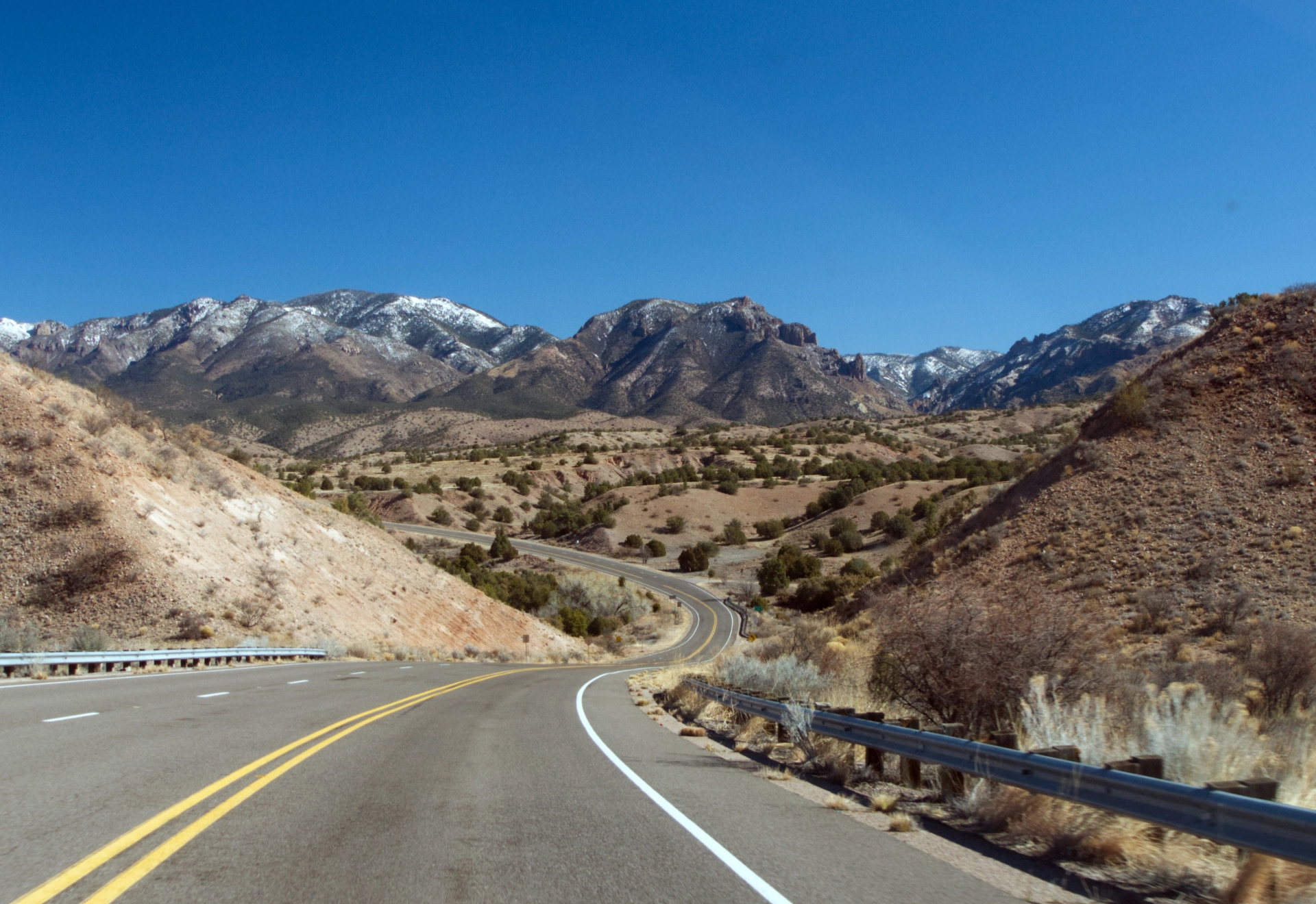
After two days of blowing snow and low temperatures in the twenties, we thought we saw an opening. With our buddy Ken, we headed north, passing by the Mogollon Mountains powdered with a fresh coat of confectioner's sugar.
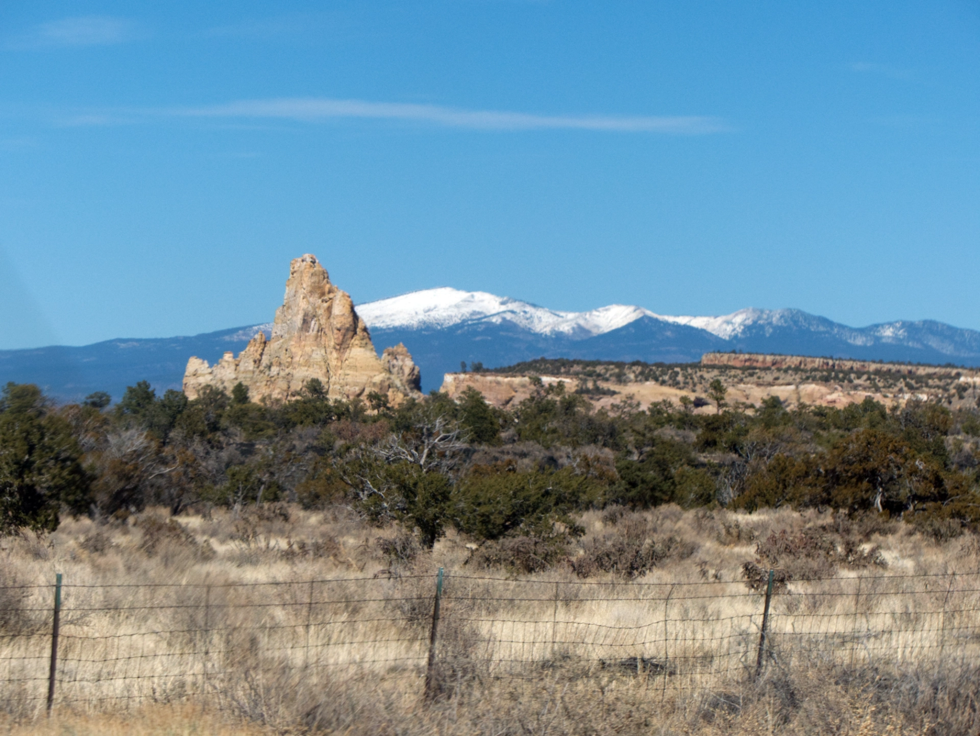
As we drove through El Malpais National Monument, the giant snowcone of Mount Taylor popped into view.
Bluewater Canyon
We knew we had to either drive all the way to Bisti, or find camping before crossing the reservation. Quite by chance, we stumbled upon potential camping in a parking lot at the mouth of Bluewater Canyon, with just enough time enough for a quick hike.
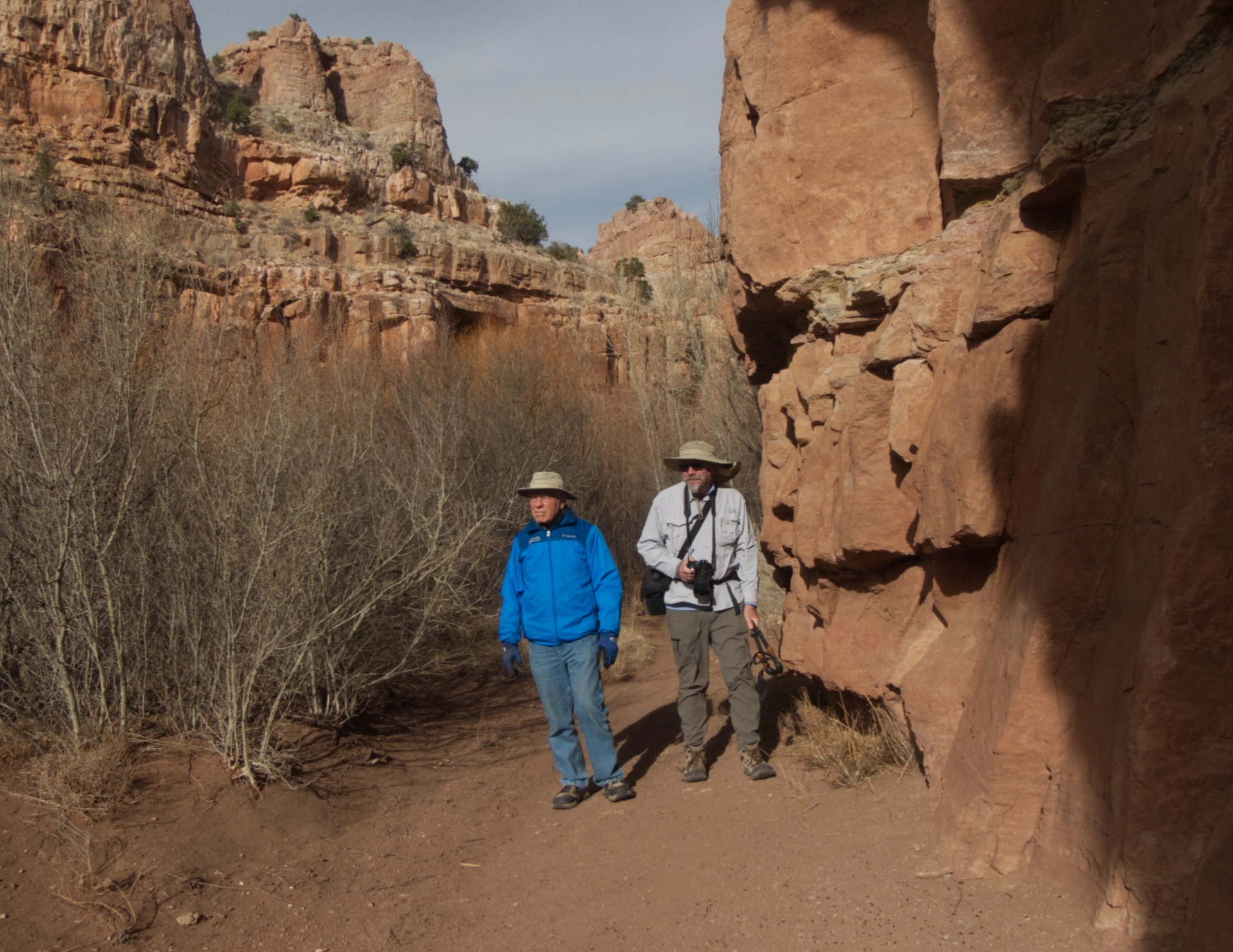
All the times I have hiked and camped in this area, and knew nothing of this lovely riparian canyon!
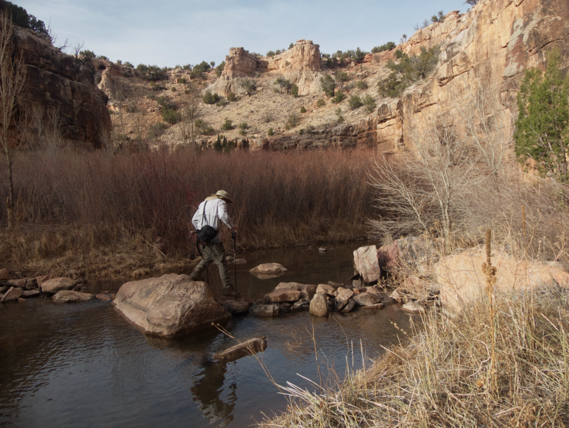
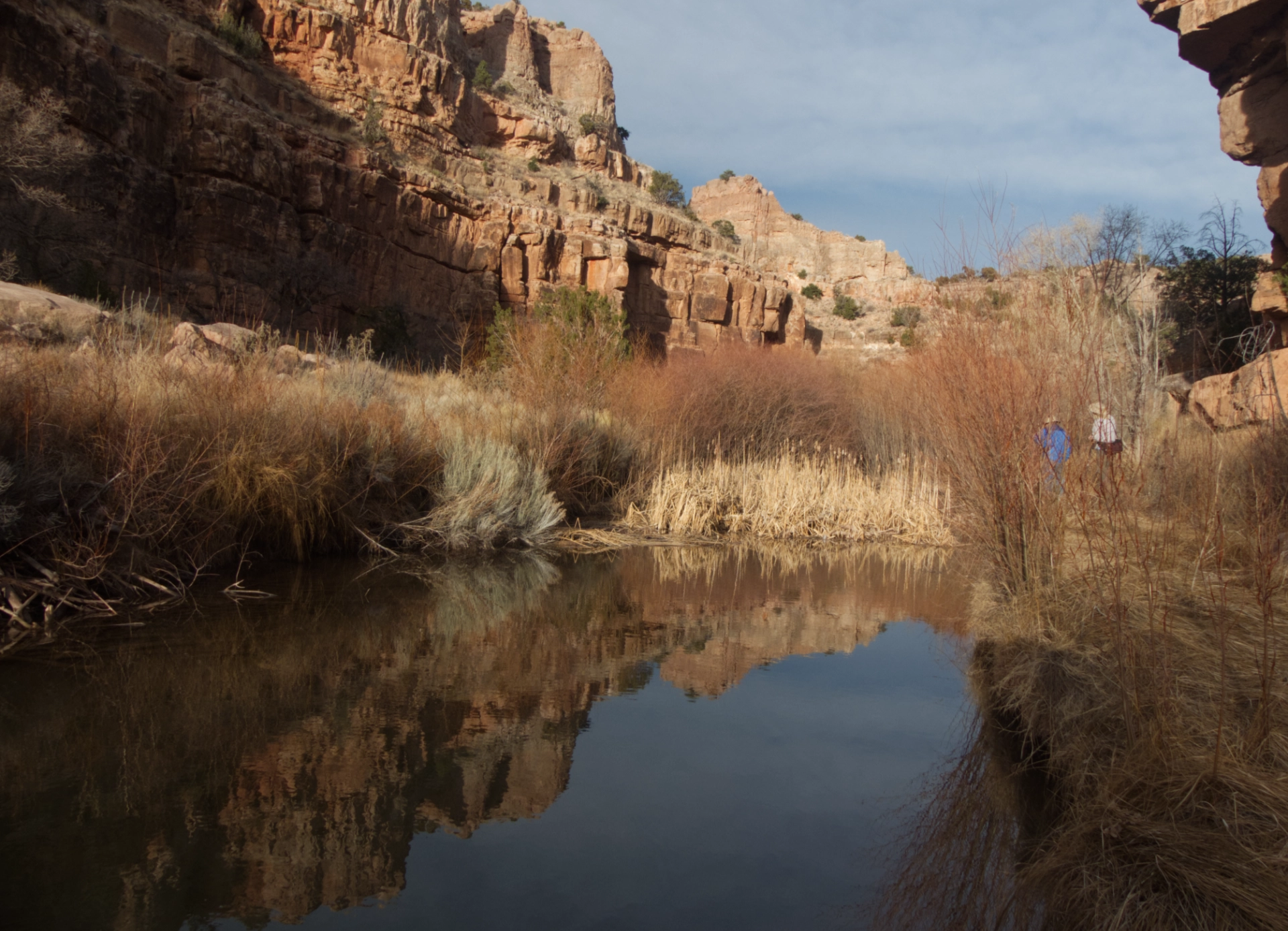
The stream has a decent flow, with many deep pools.
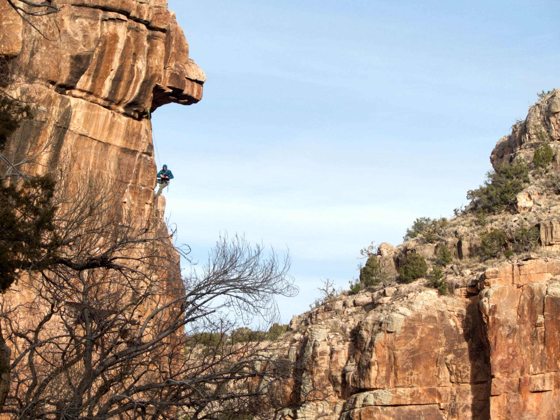
The canyon is obviously well known to local climbers.
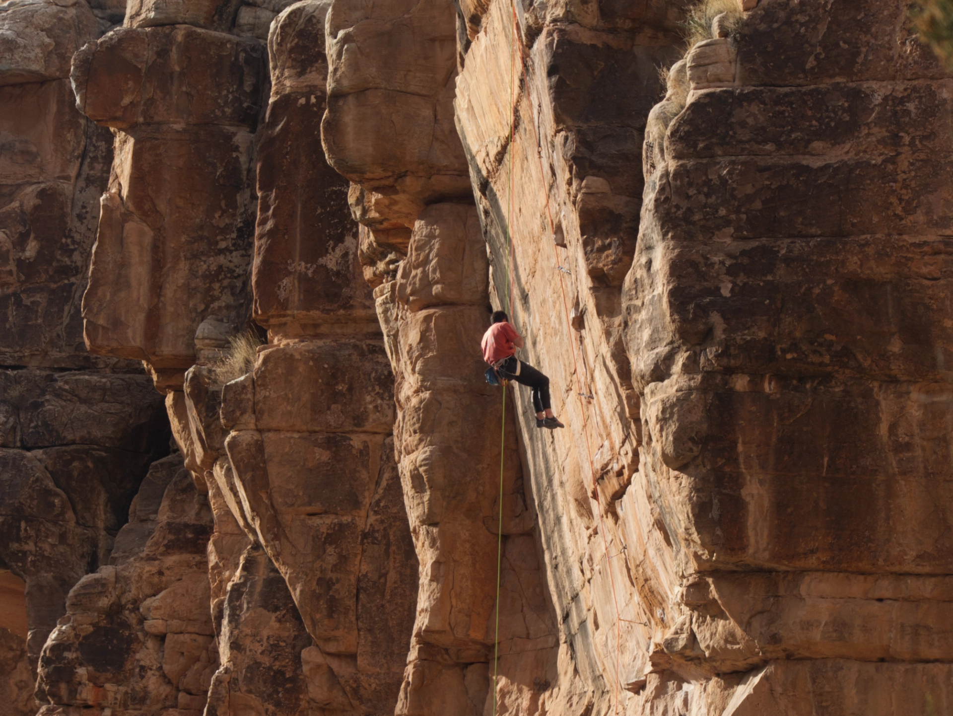
We enjoyed watching them.
Reflecting on a great first day of our adventure!
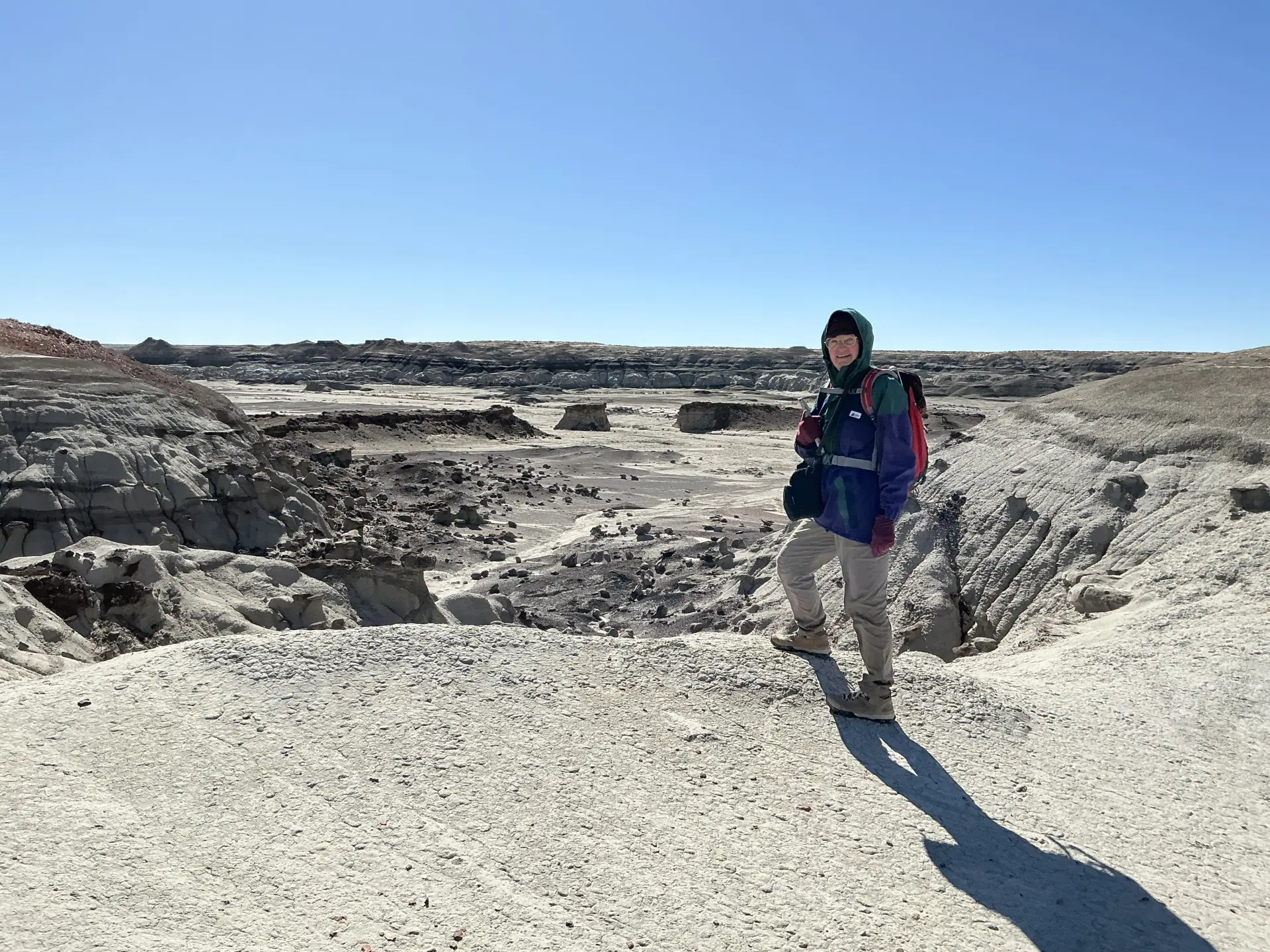
Ah-Shi-Sle-Pah Wilderness Study Area
It was a bit odd camping within view of houses, but it made for a shorter drive to Bisti. Along the way, we stopped in Thoreau at Dick Elkin's Trading and Pawn. This famous pawn shop has not only a huge selection of pawned jewelry, but also saddles, chainsaws and even trailers! The very friendly shopkeeper explained that it's the season when people are bringing in chainsaws and recovering their saddles. By law, the shop must retain the items for three months, but frequently hangs onto them for four or five months. She said that for many Navajo, a pawn shop is the safest place to store their valuables.
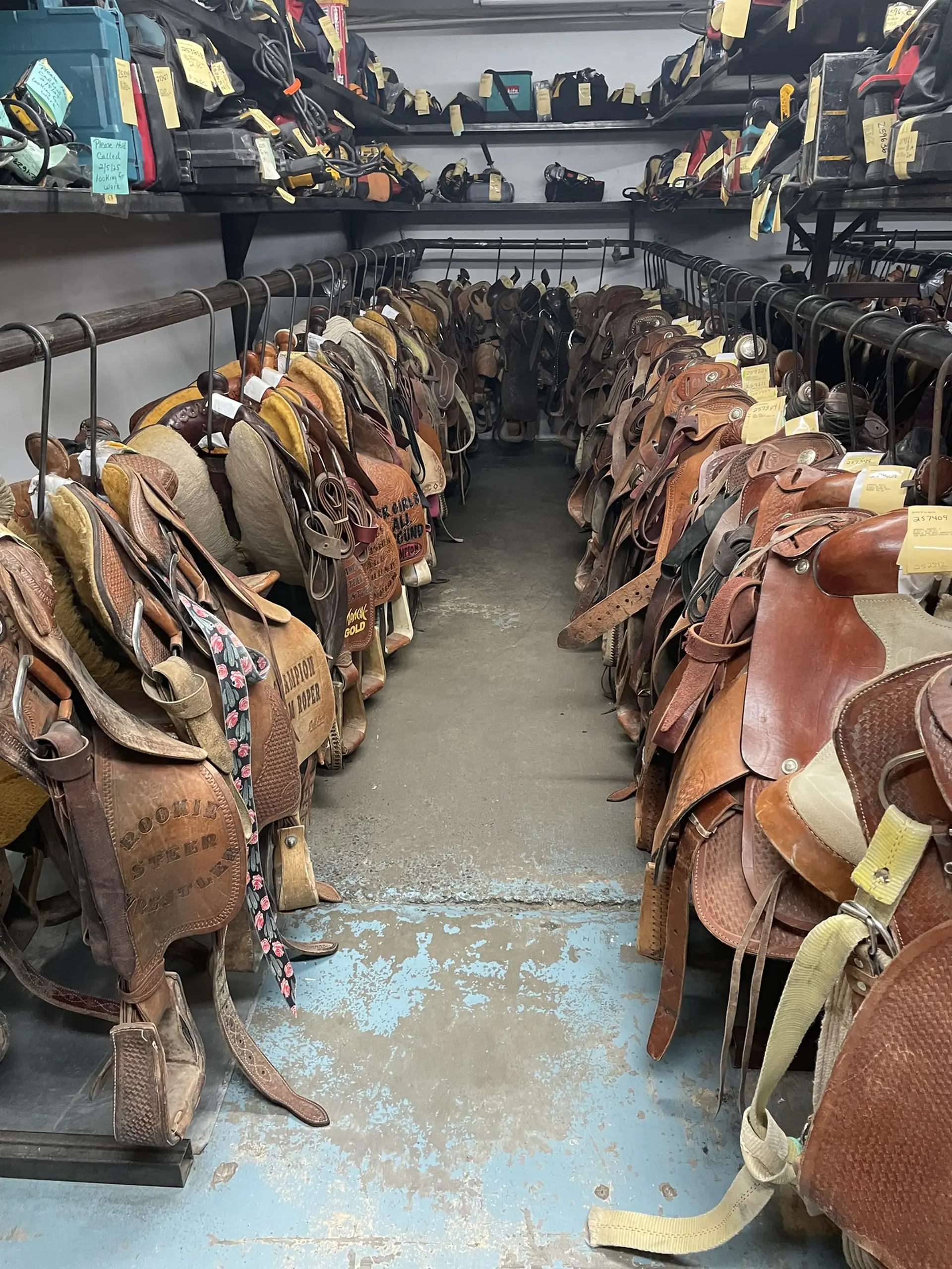
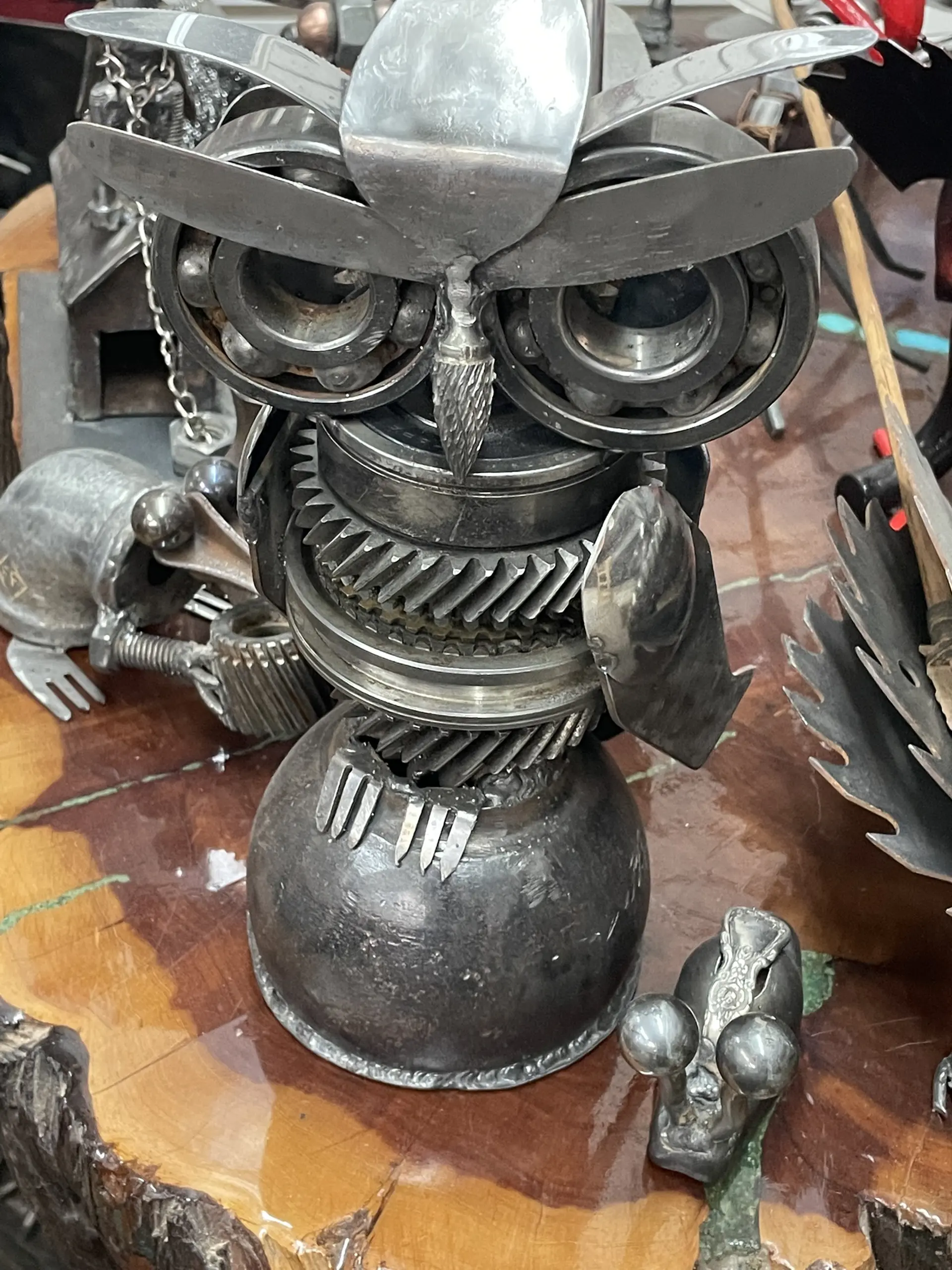
Saddles in the store room at Dick Elkins, and very creative metal sculptures by a local artist. Did I leave with a beautiful green turquoise and silver ring? Why yes. Yes I did! (Photos by Ken Hadlock)
The weather was windy but warm, so we made a snap decision to head straight for Ah-Shi-Sle-Pah.
The WSA was designated in 1992, and would protect an area of roughly 7,000 acres directly north of Chaco Canyon.
Its name is a phonetic transliteration of a Navajo term for "grey salt".
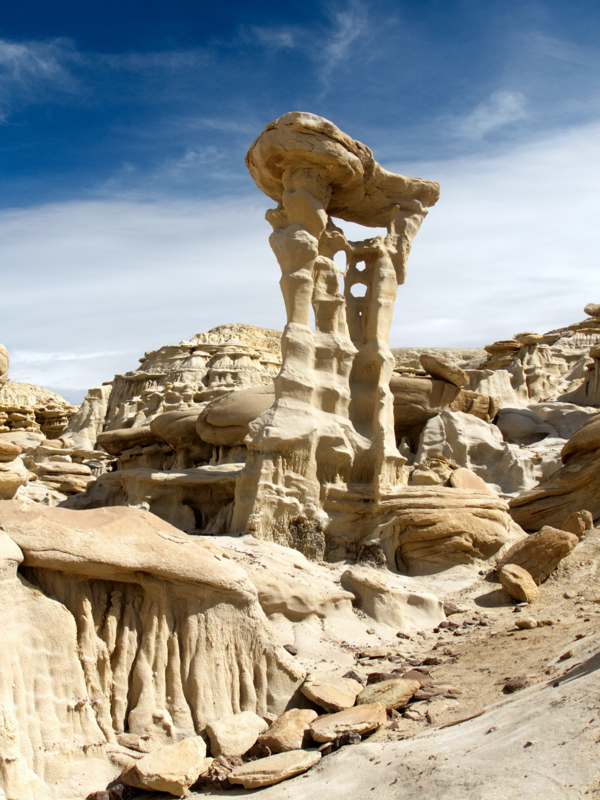
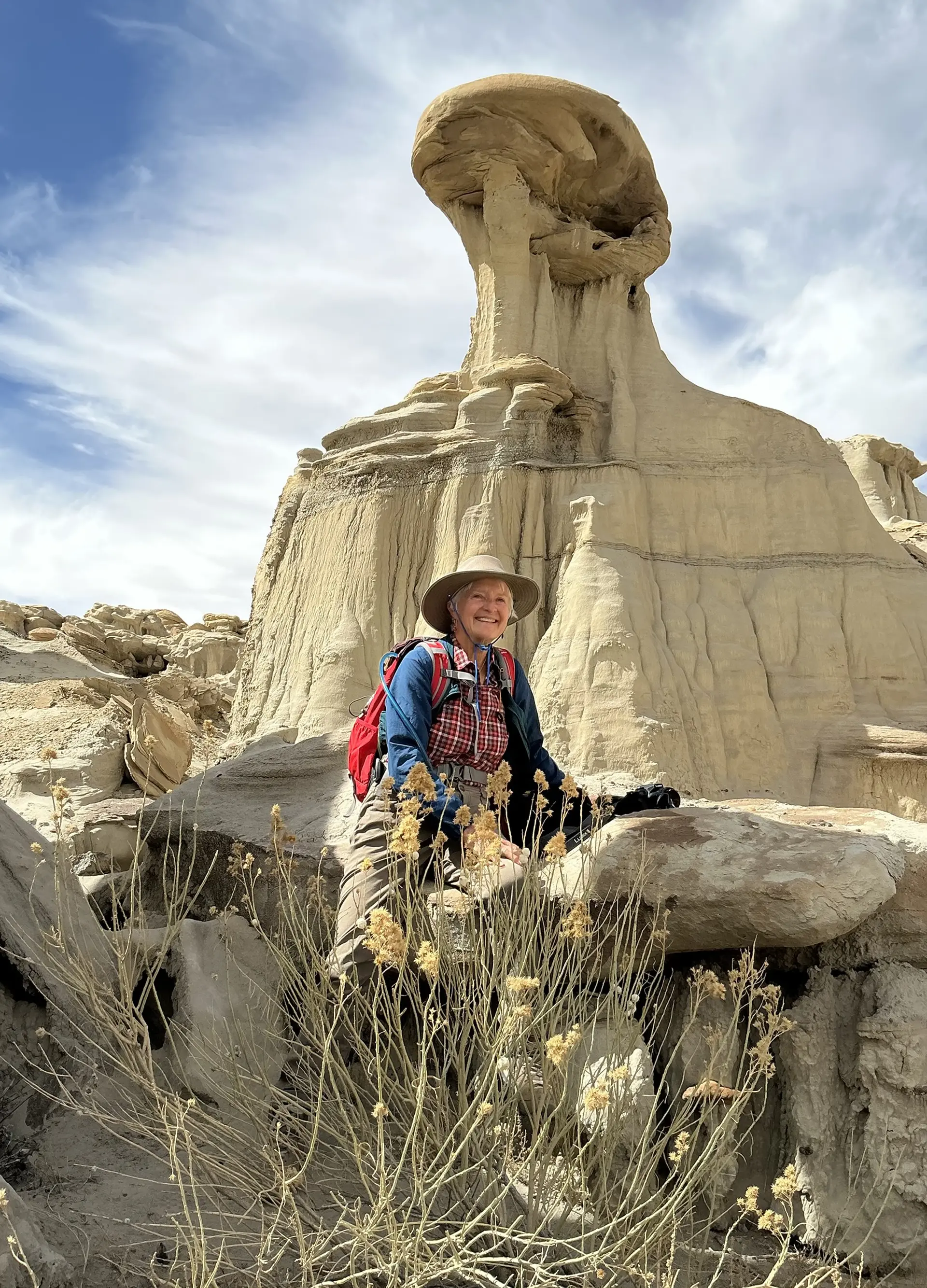
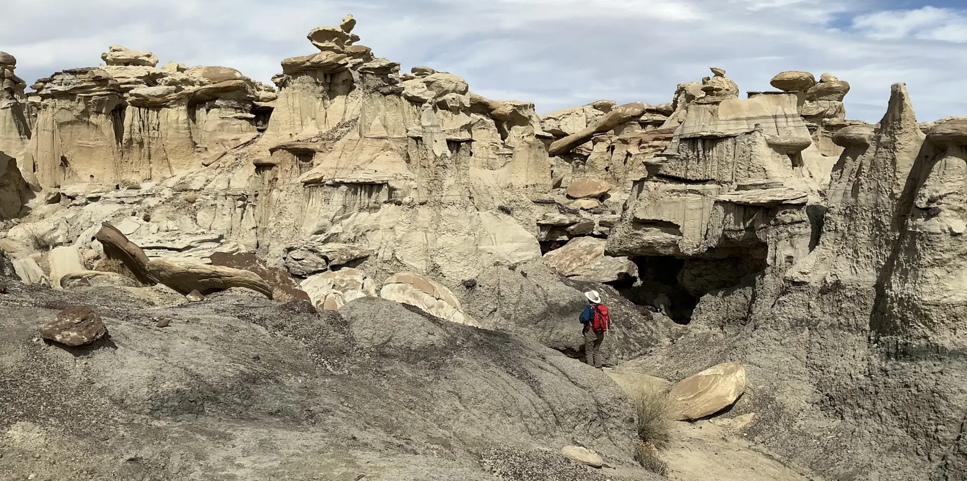
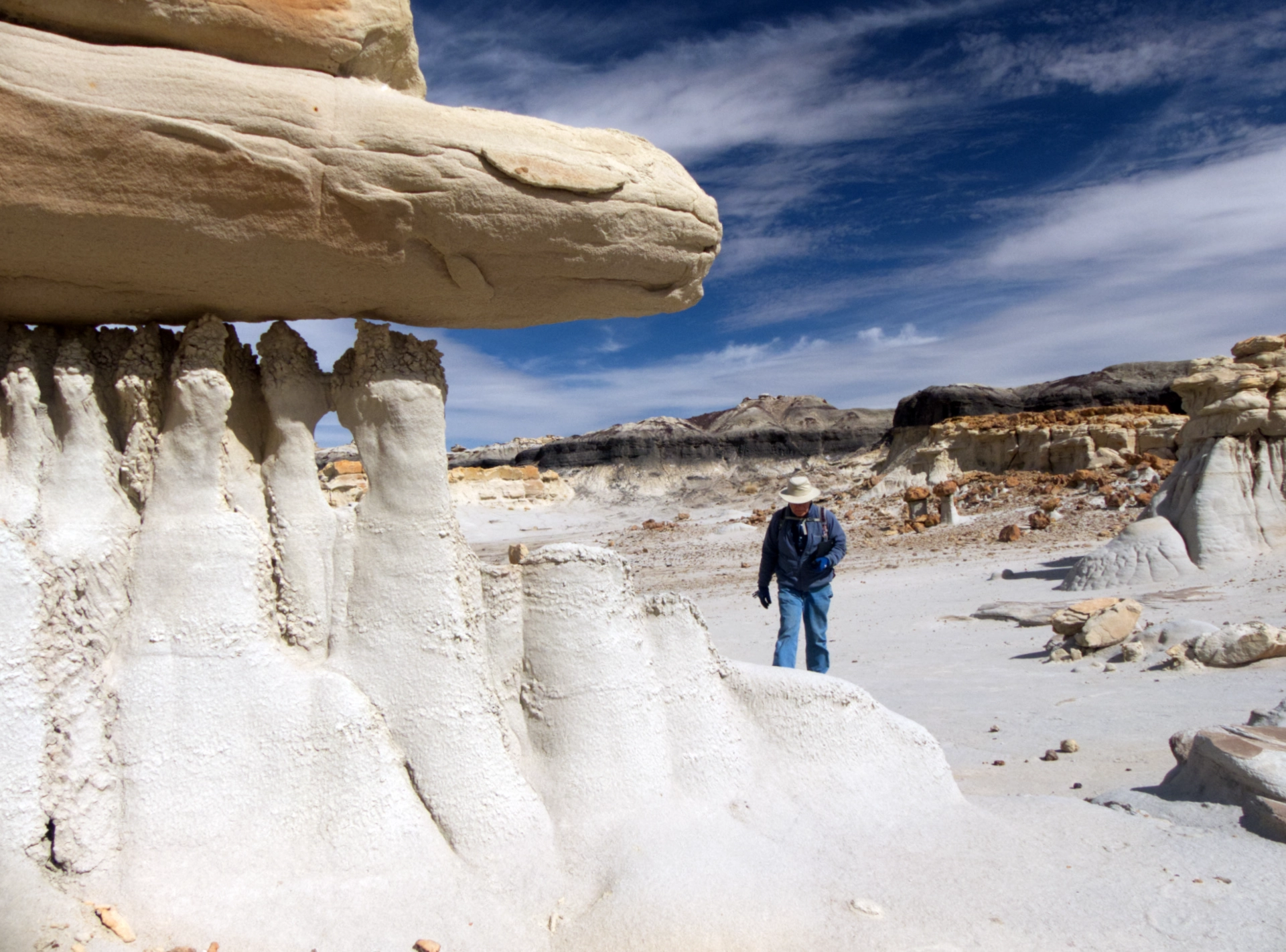
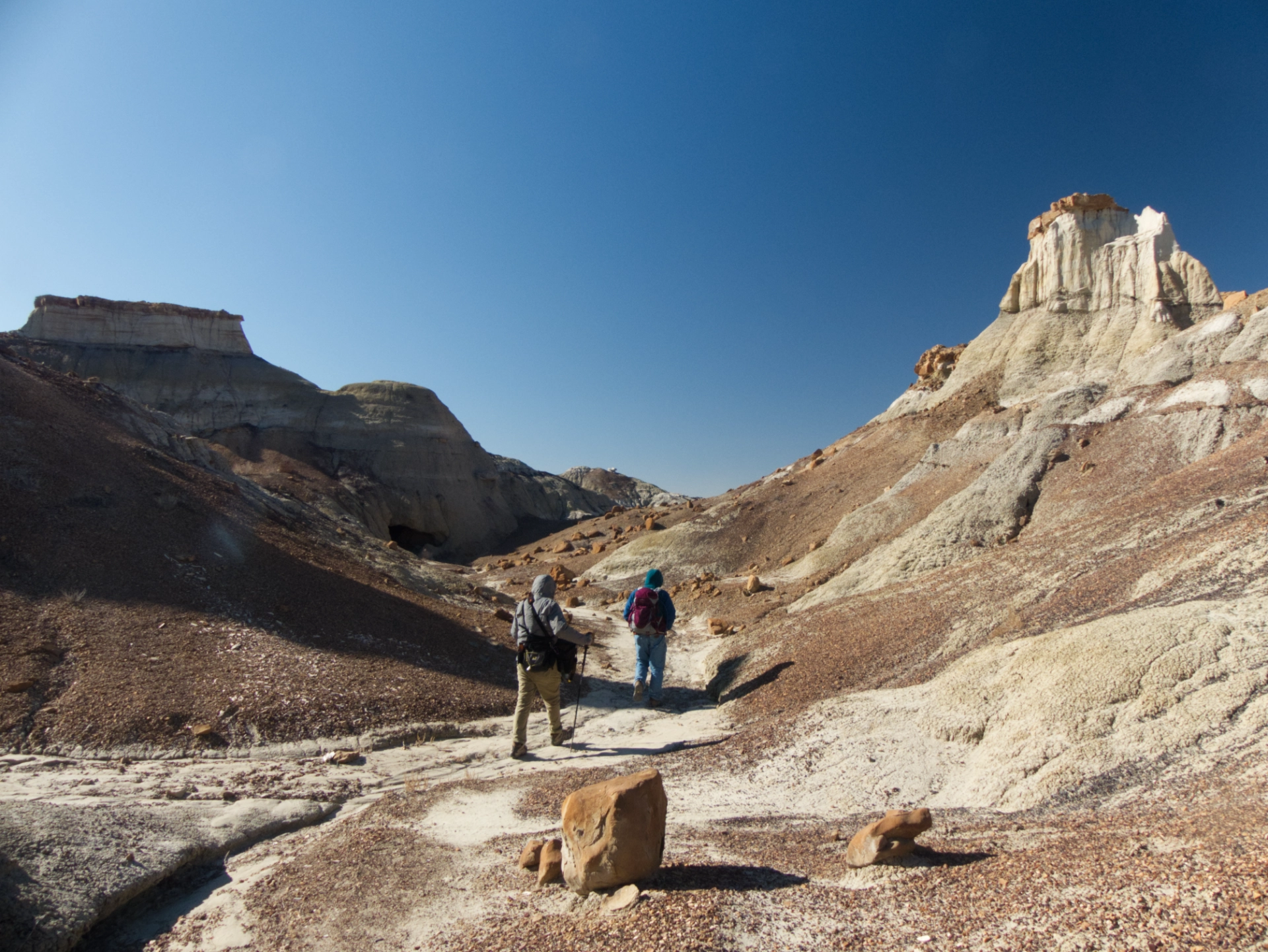
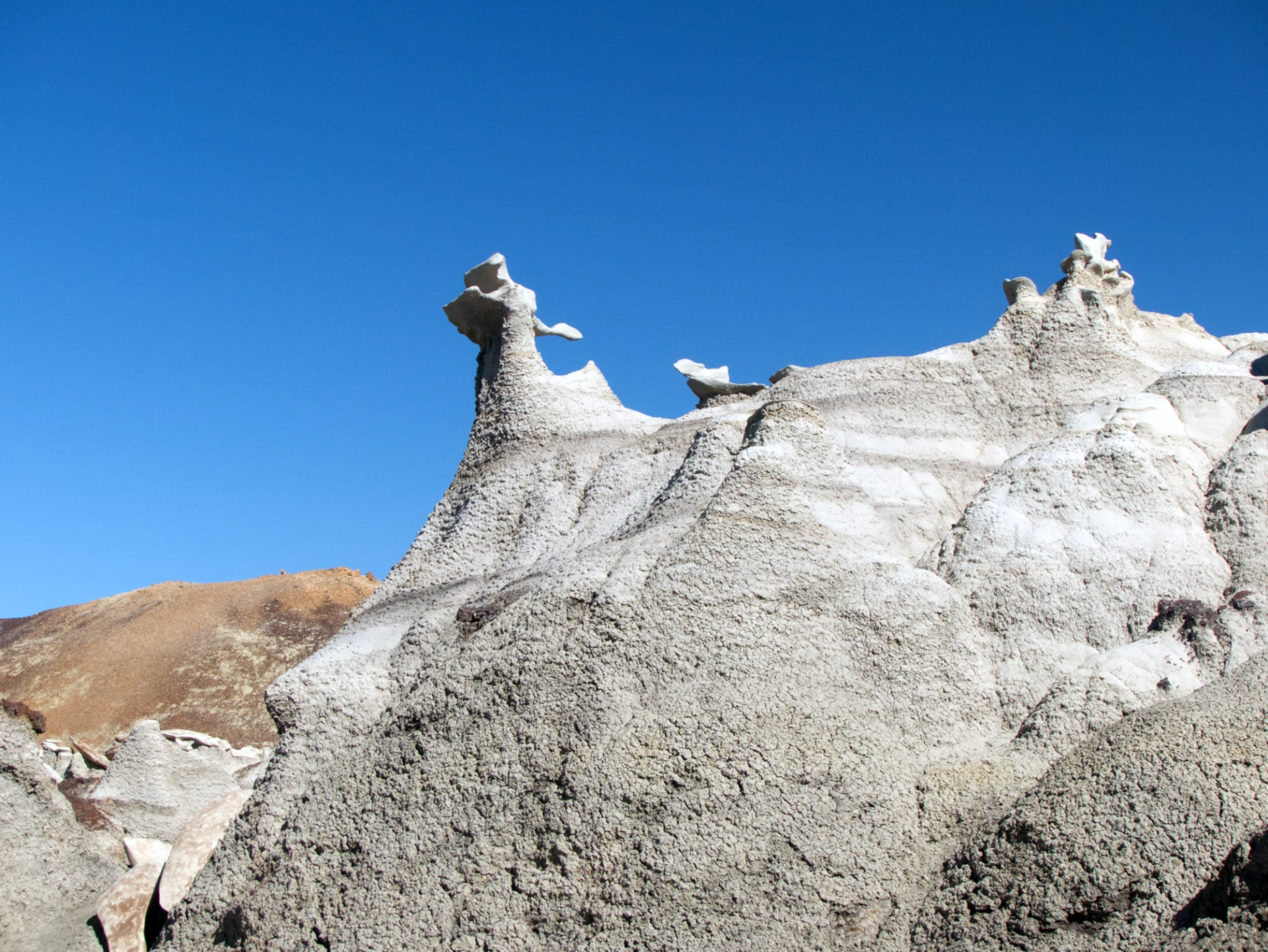
We had no trouble locating the famous "Alien Throne".
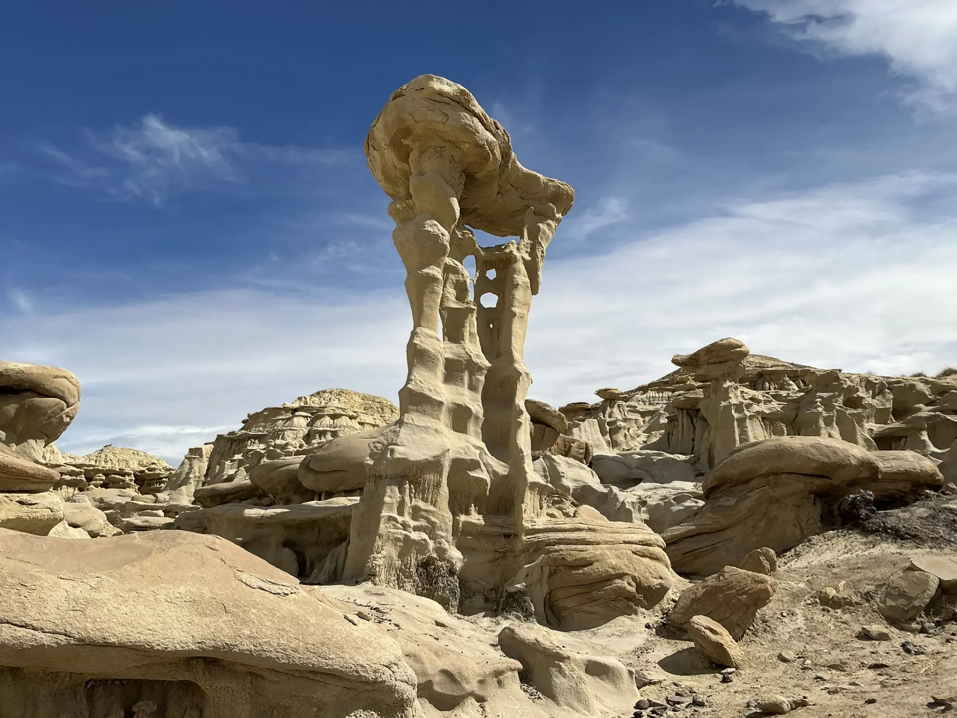
It's a beauty! But truth be told, there are many other equally fantastic formations in the area.
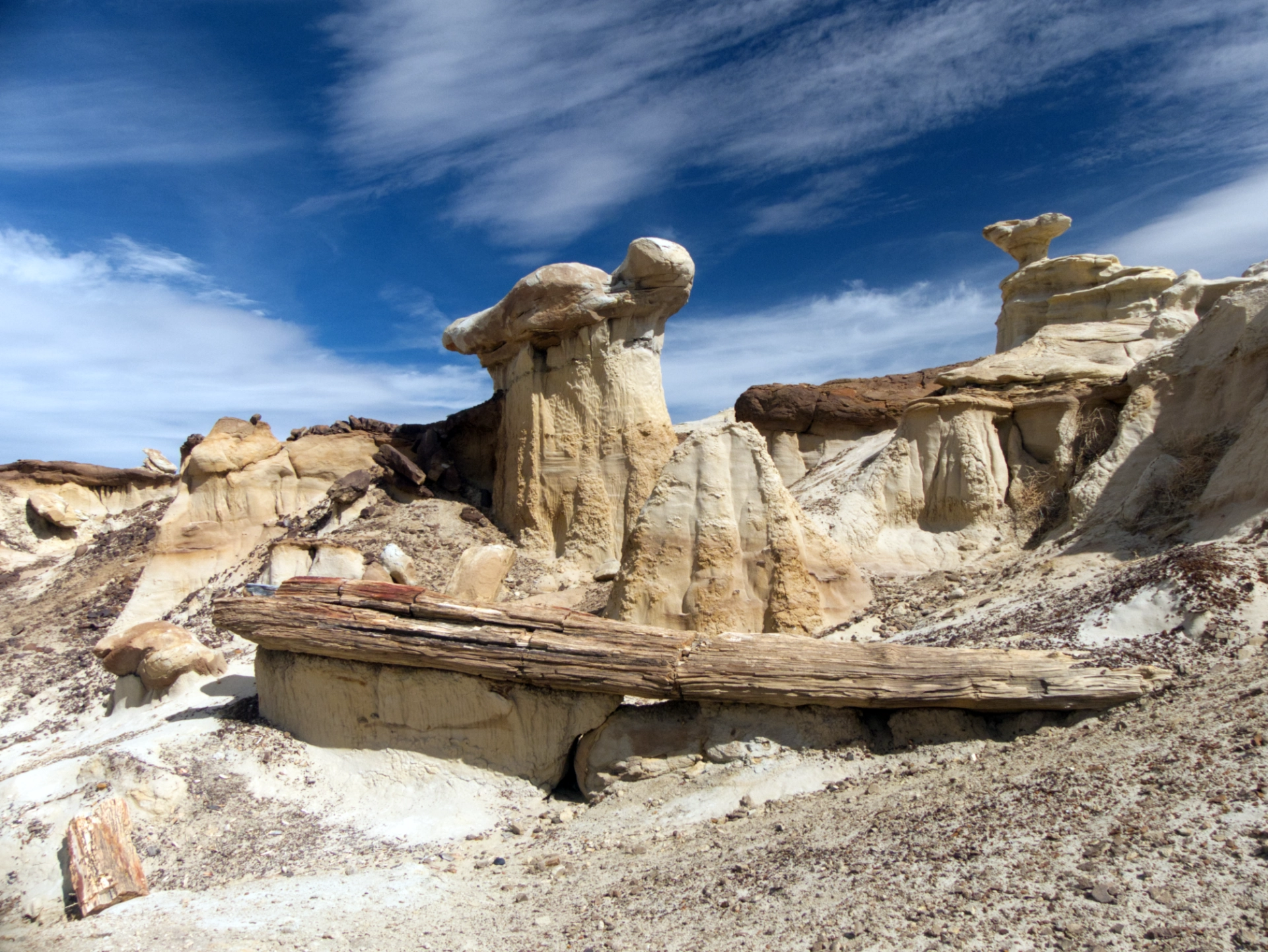
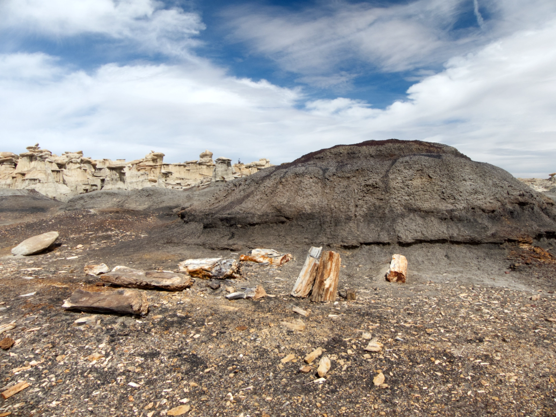
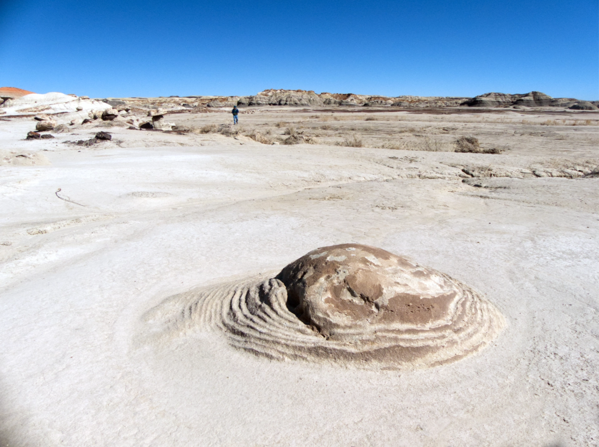
Check out this largely intact petrified log, from the Cretaceous era (65-79 million years ago).
I don't know what I expected — perhaps a few dozen hoodoos? But the bizarre fossil-encrusted sandstone and mudstone formations stretch to the horizon in every direction, and manifest in a rainbow of colors from white to gray to beige, brown, black and even deep red.
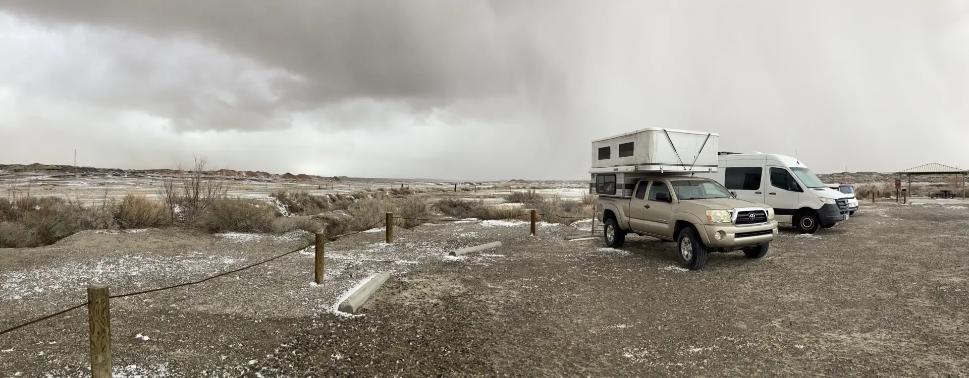
Late afternoon found us fighting increasingly strong gusts of wind to make our way back to the parking lot. Camping is not allowed at the Valley of Dreams trailhead, so we headed for the official trailhead a few miles to the east.
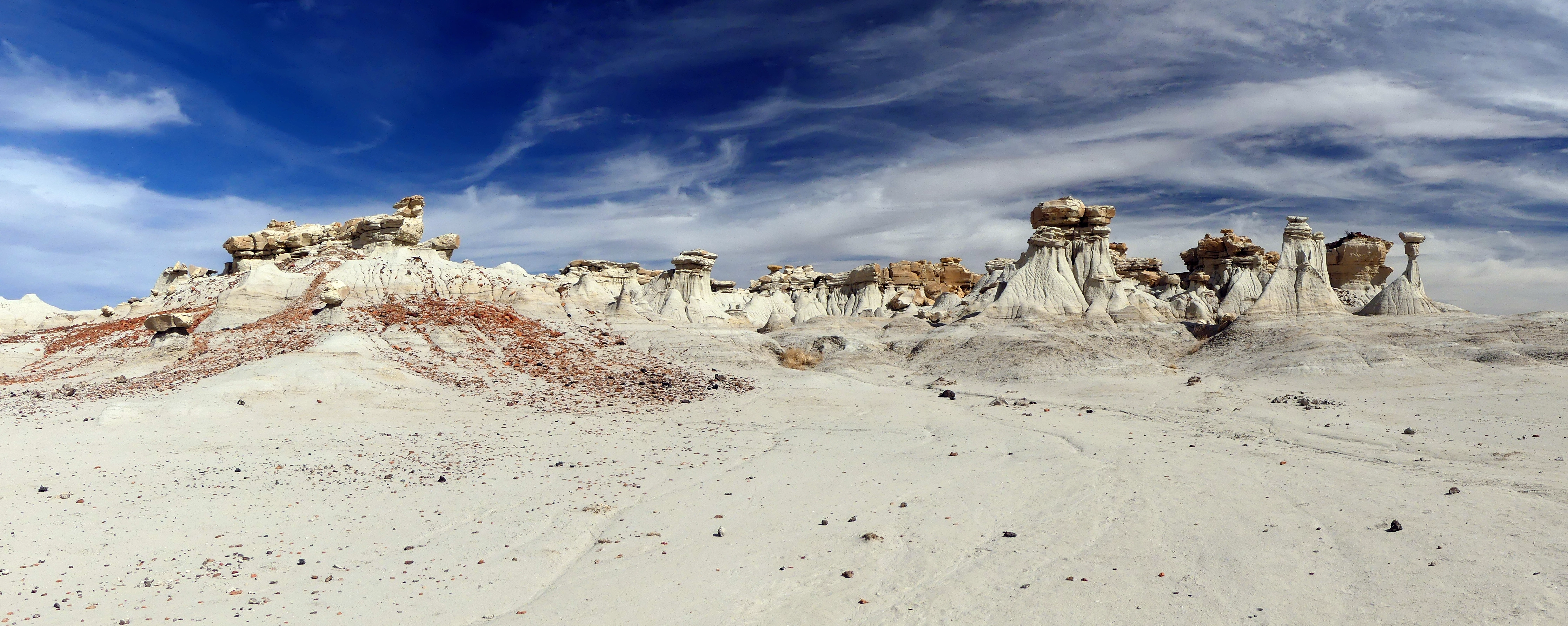
Ah-Shi-Sle-Pah panorama.
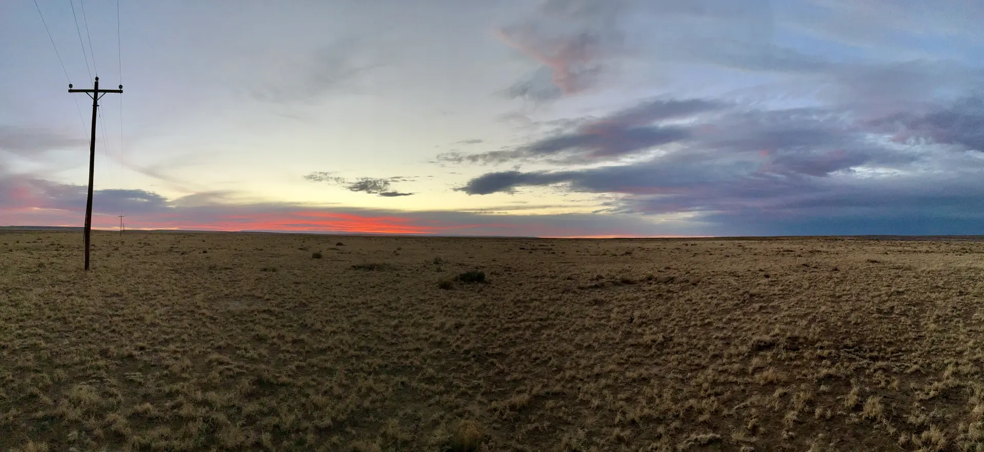
The parking lot was a little bleak, but we enjoyed a gorgeous sunset.
We had planned to hike this area the following morning, but by then, the wind was gusting to 50 mph from the southwest, whipping up an enormous sandstorm. We decided to do the adult thing and clear out while we still could.
Bisti-De-Na-Zin Wilderness
We holed up in the parking lot at Bisti/De-Na-Zin, with a few other beached campers. We ventured outside a couple of times, but the wind was icy, and blowing sand made it impossible to walk, let alone take photos! The camper shook and shuddered like a sailboat in a tropical storm. We spent the day reading, drinking tea and napping.
But wait, there's more! Around 3 pm, we were pounded with horizontal snow!
The aftermath. Ken joined us for dinner and brought along an excellent bottle of wine!
Just before sunset, the winds calmed enough that were able to get out for a short walk.
Sneak preview of the coming day's adventures!
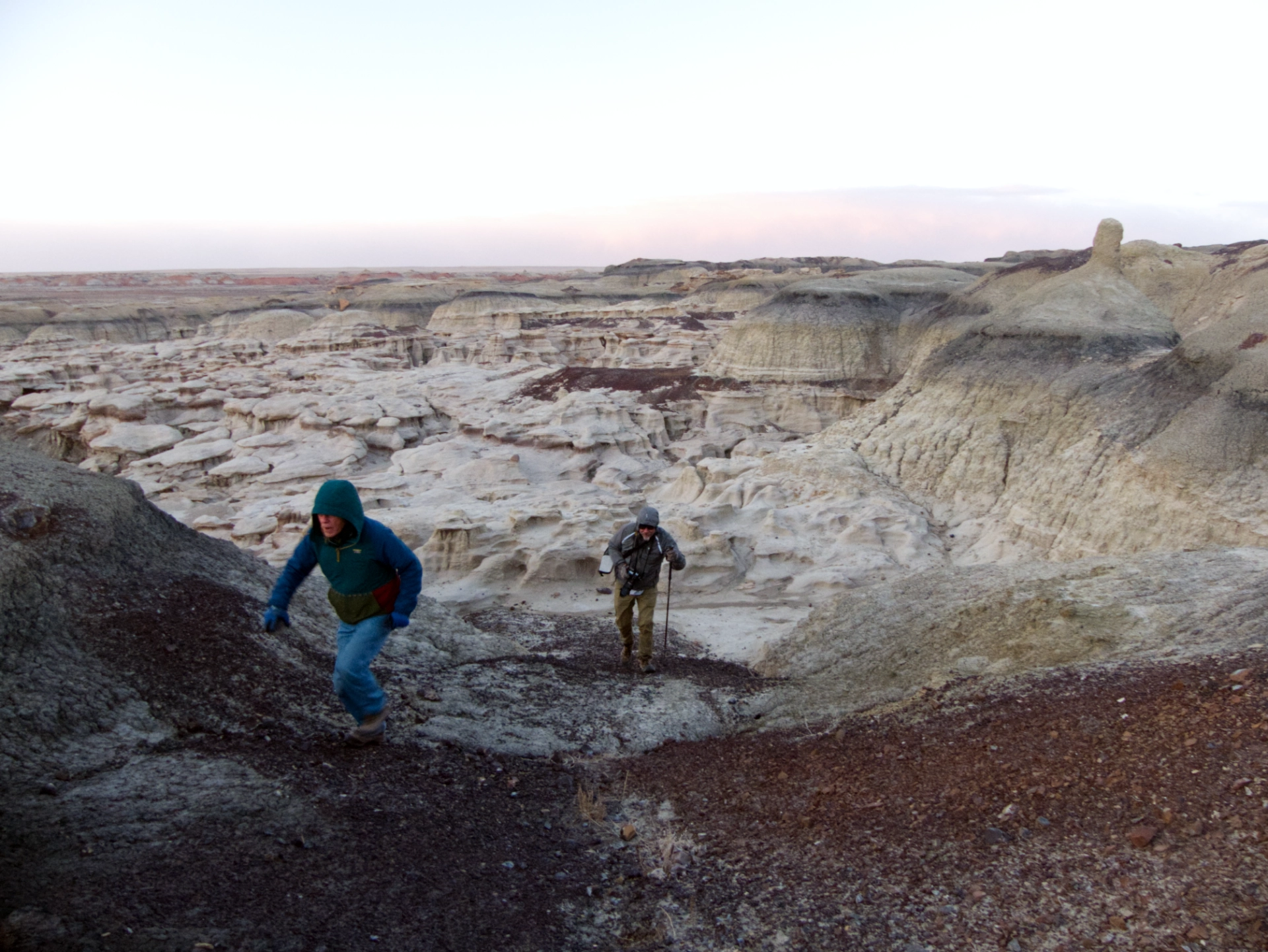
The morning dawned bitterly cold but sunny, with winds relatively calm at 10-20 mph.
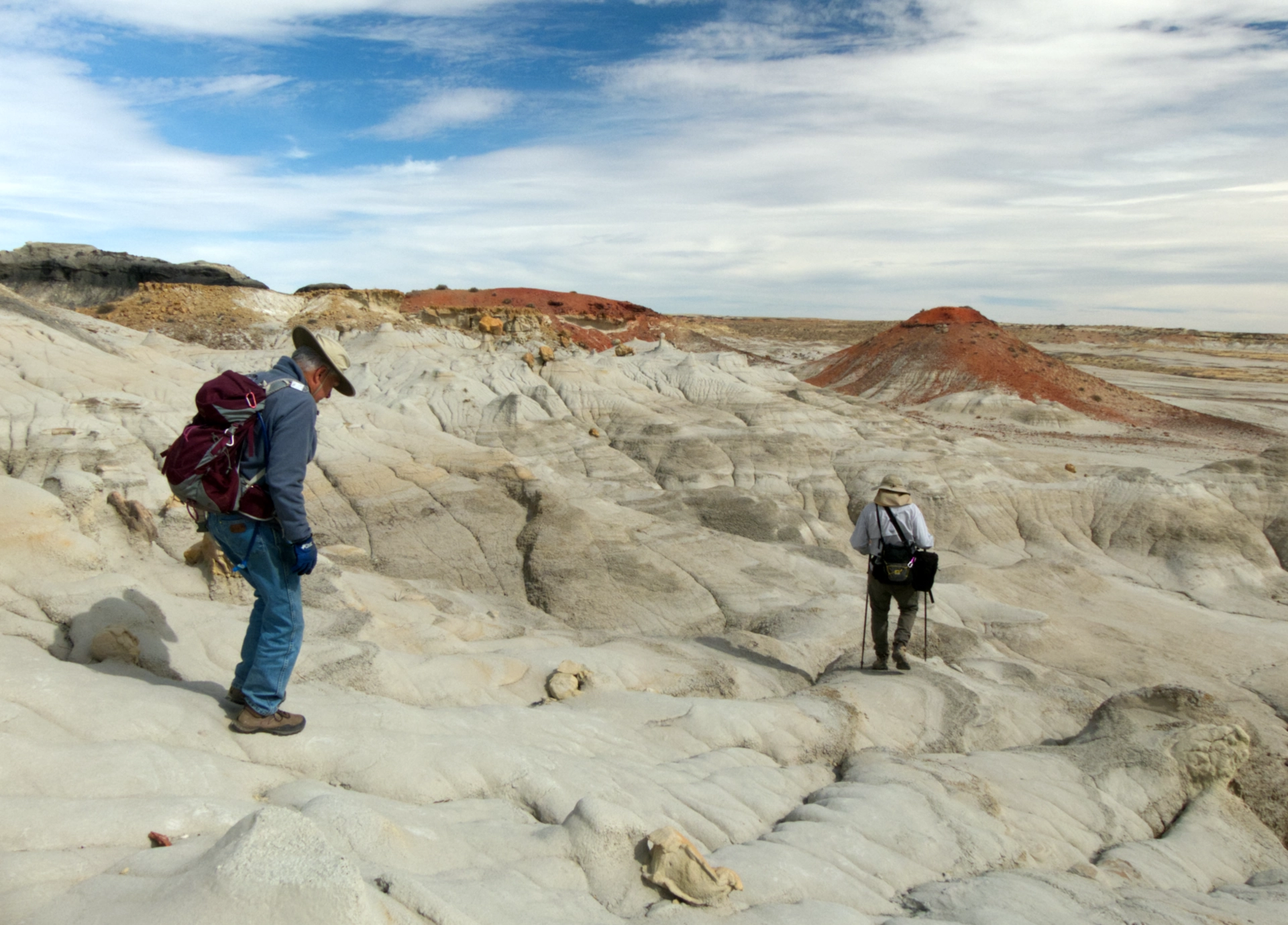
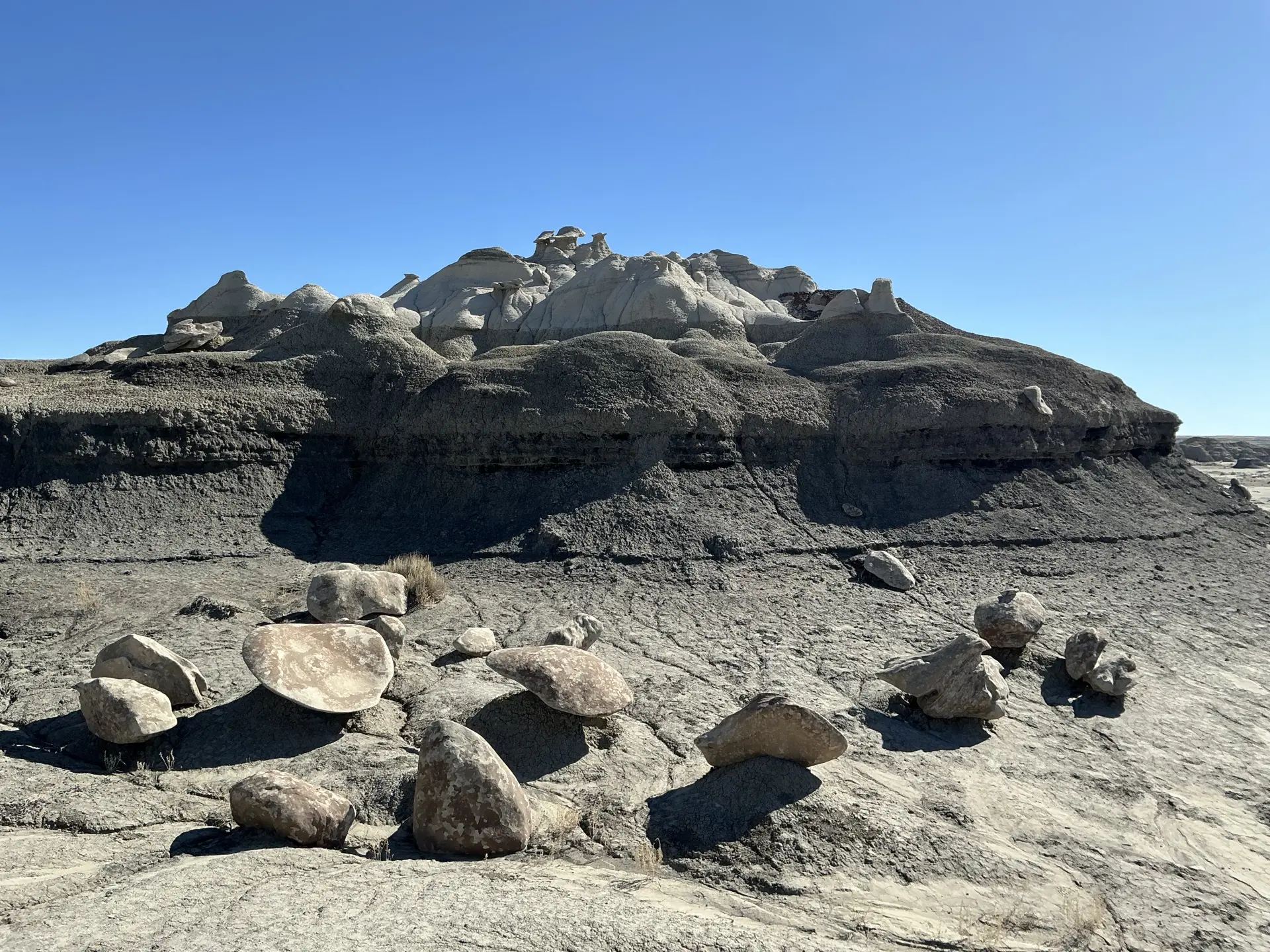
There are no trails, so we walked a roughly 5½-mile loop, over ridges and in and out of washes.
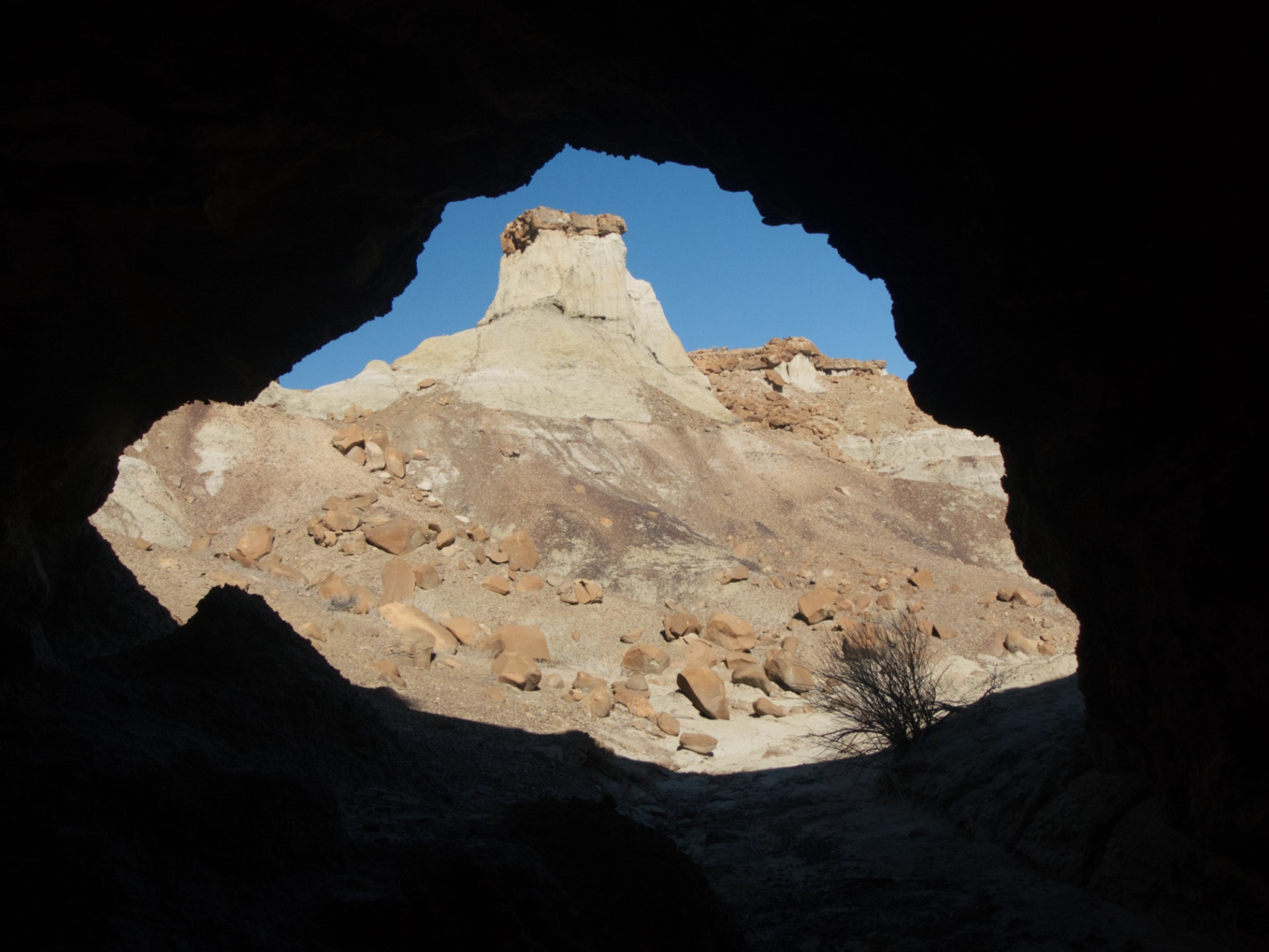
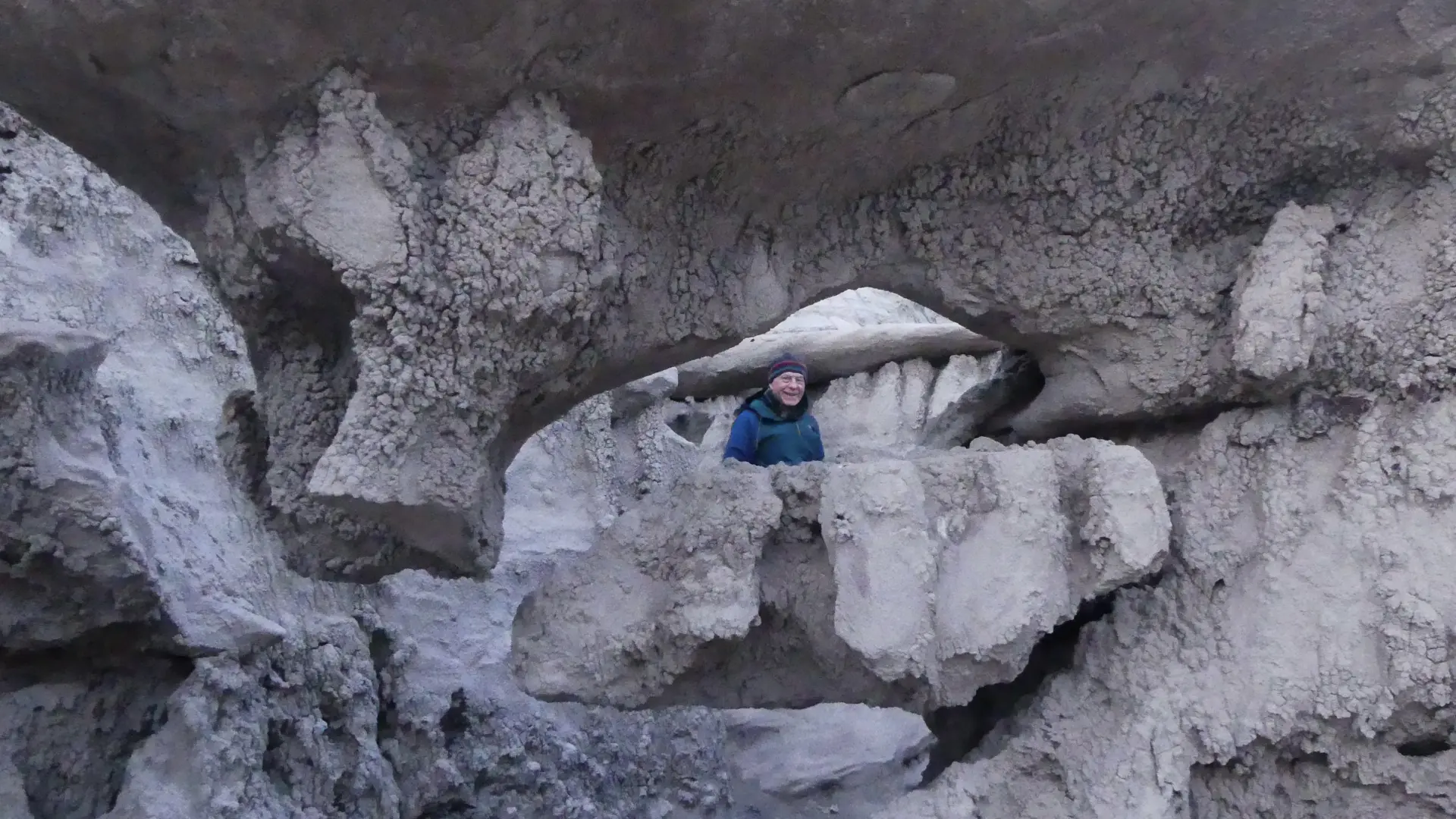
There are quite a few caves nestled among the hoodoos.
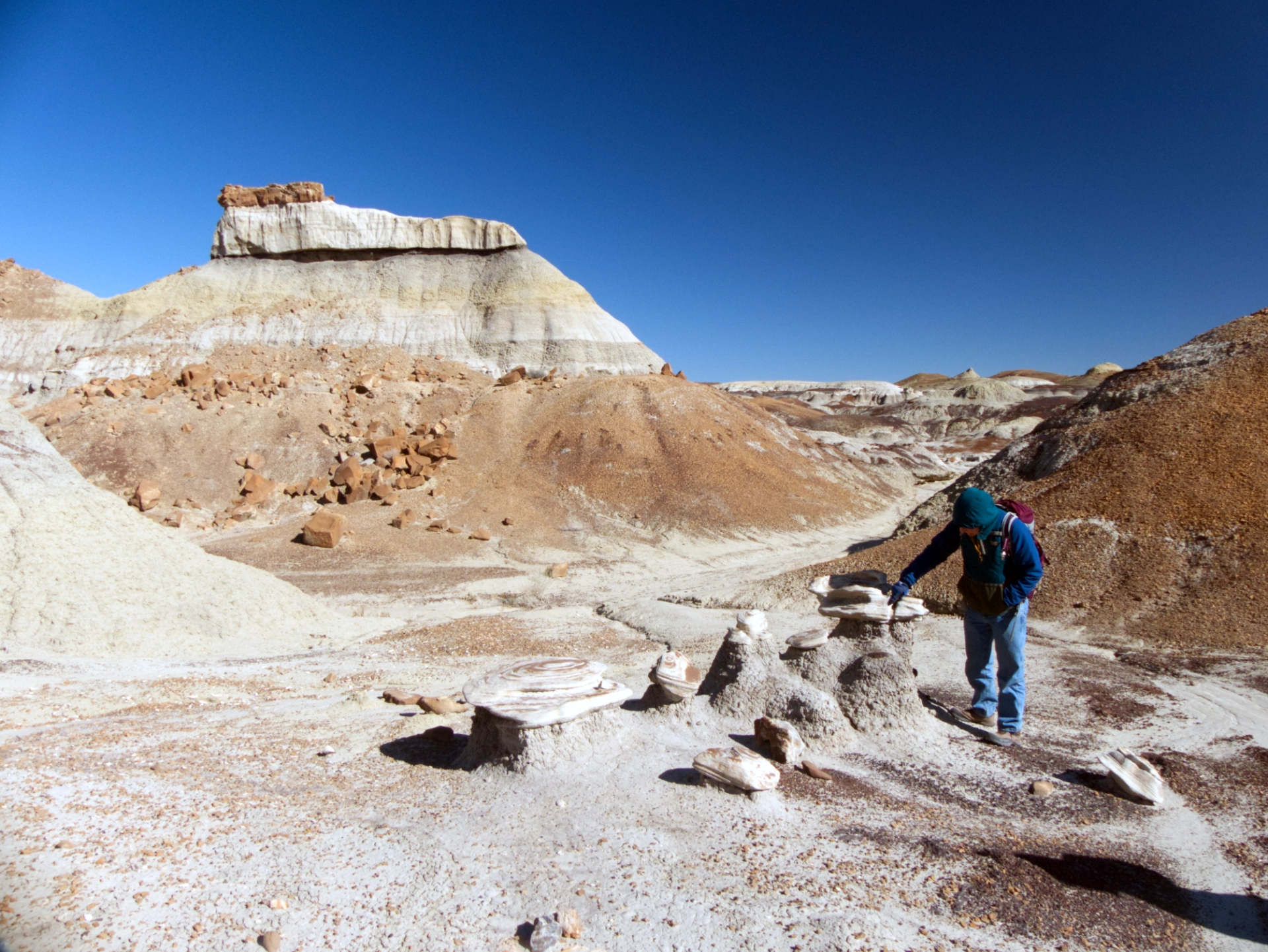
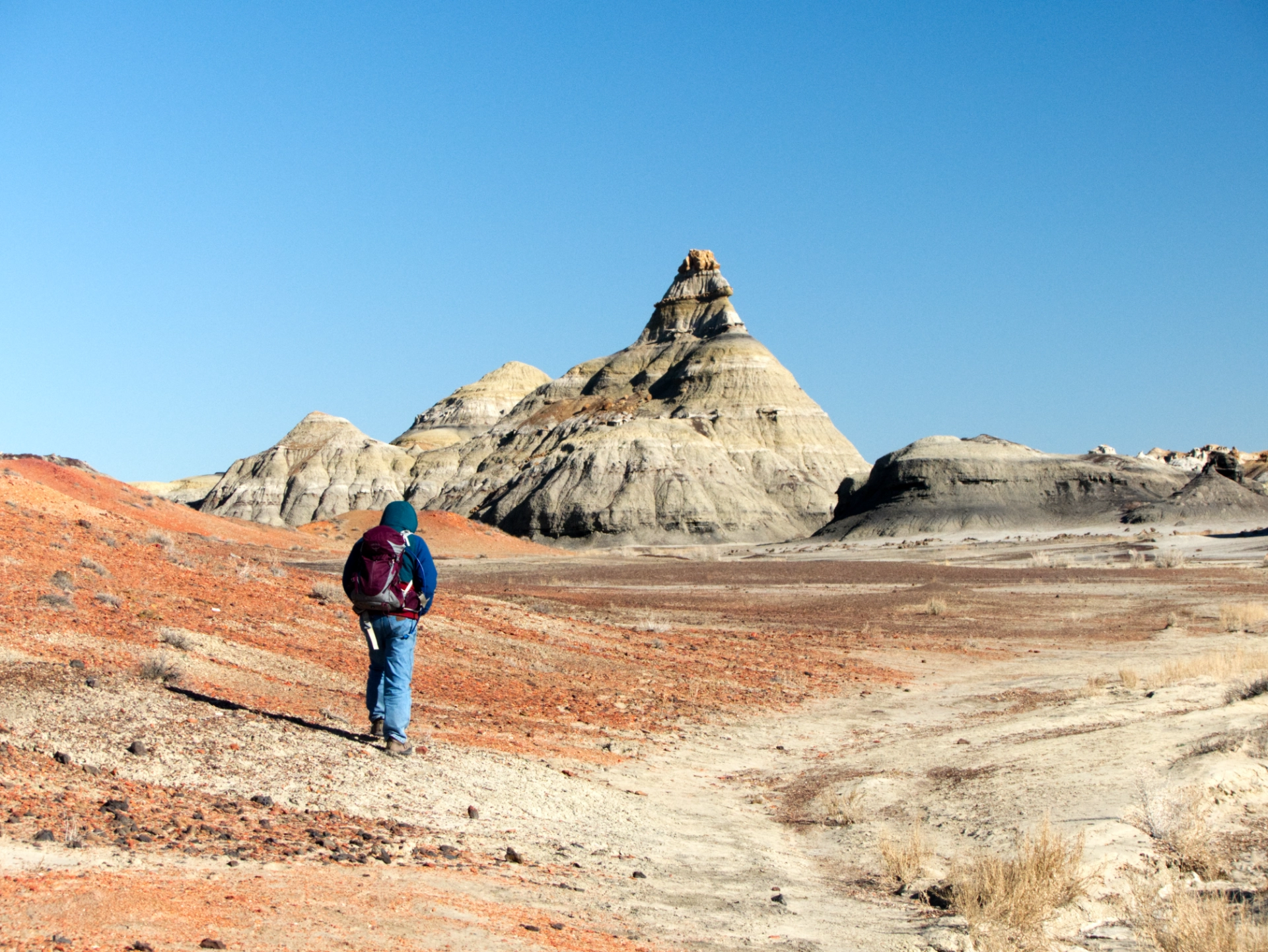
The weird spires come in all shapes and sizes, sometimes with harder rocks precariously balanced on friable mudstone pillars.
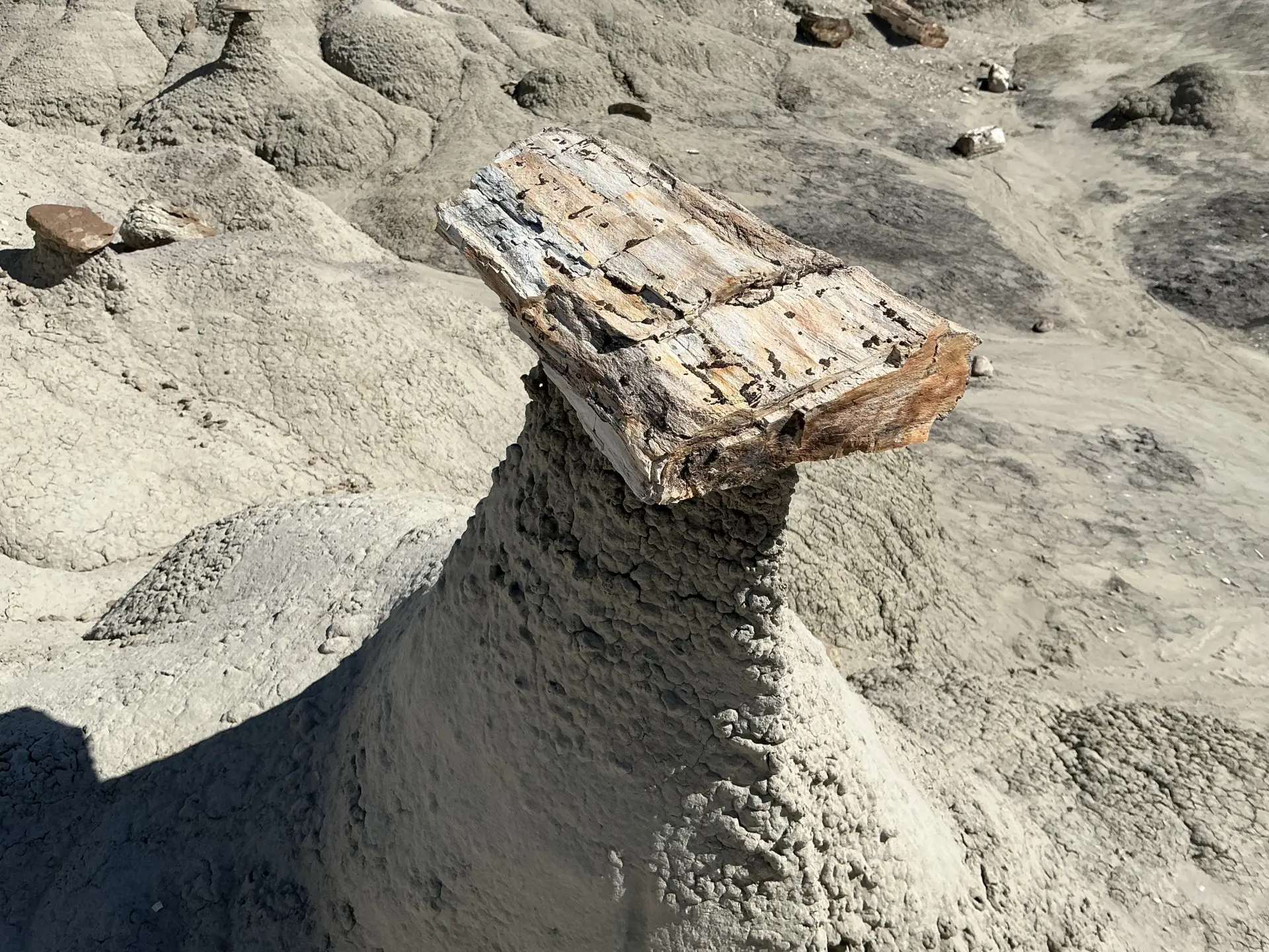
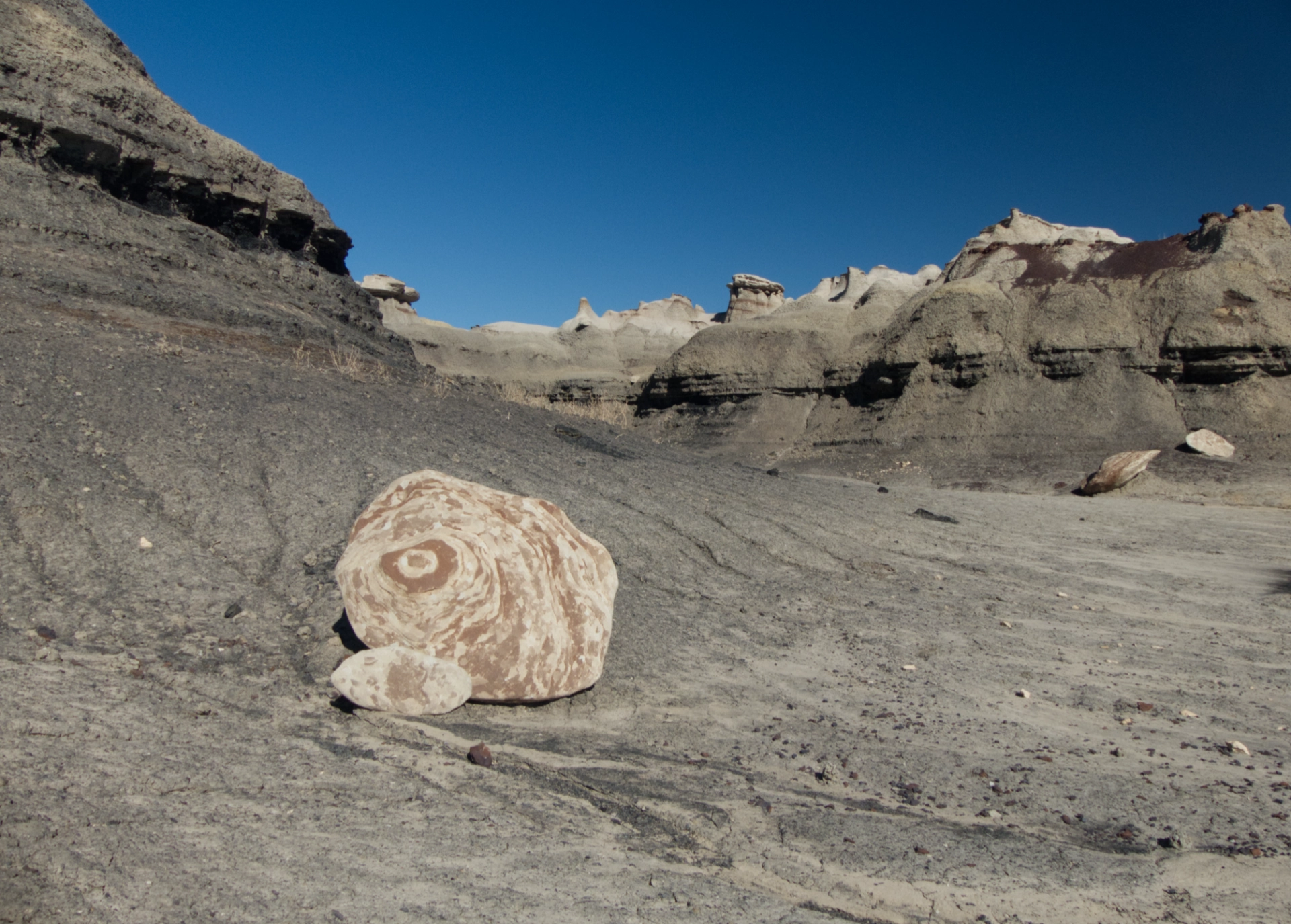
A cap of petrified wood atop a mudstone pillar.
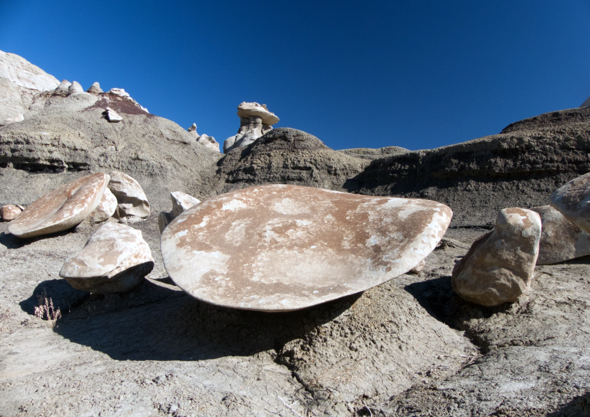
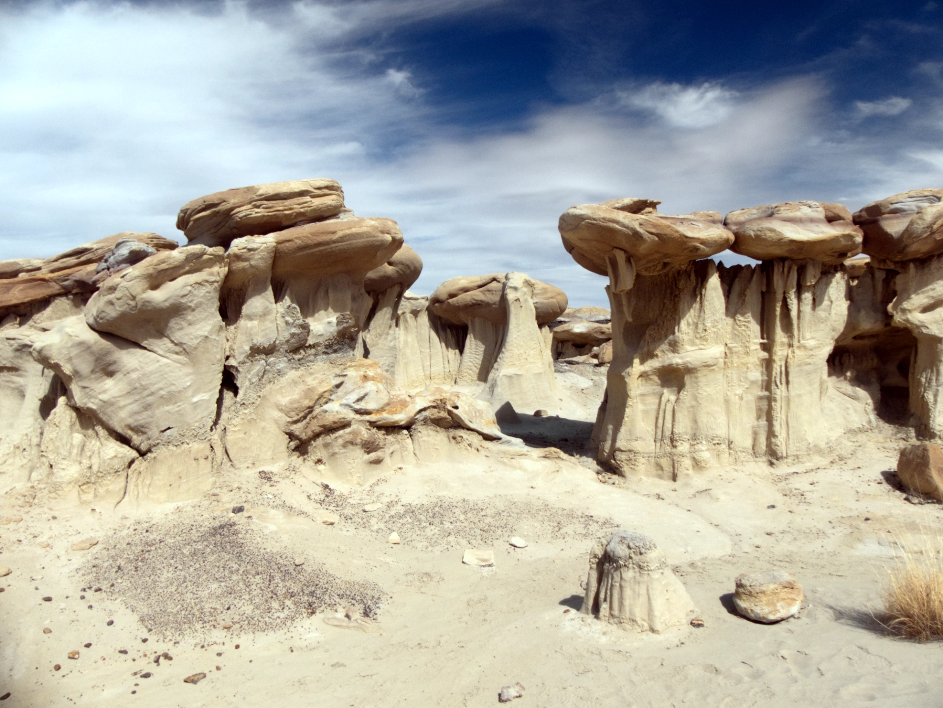
What forces created these smooth saucer-like capstones?
An entire field of "mushroom caps"!
Cinnamon swirl on crumbled chocolate.
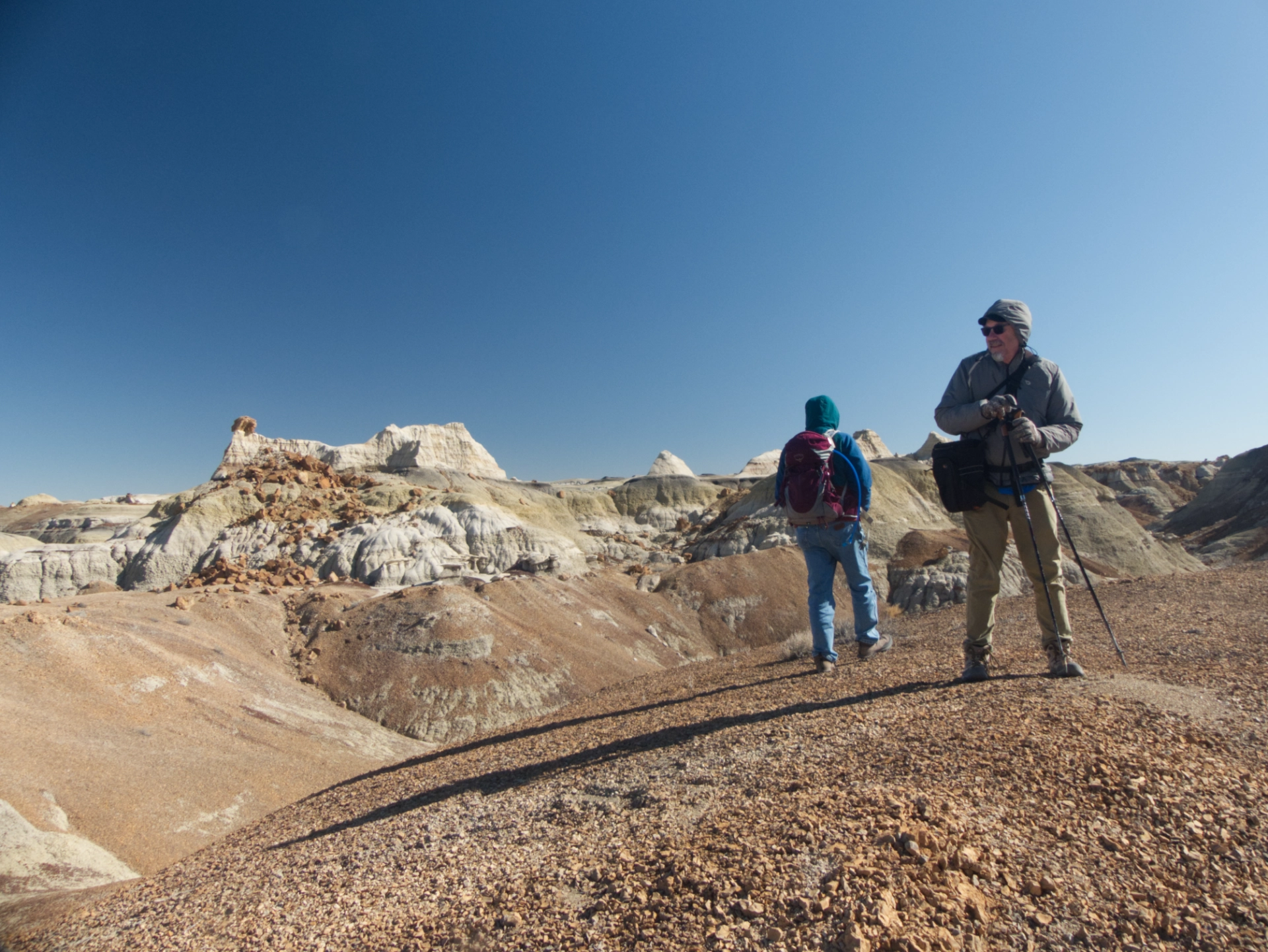
Ken and Dennis pausing to take in the view.
And me too!
See see see, Tennessee Tuxedo!
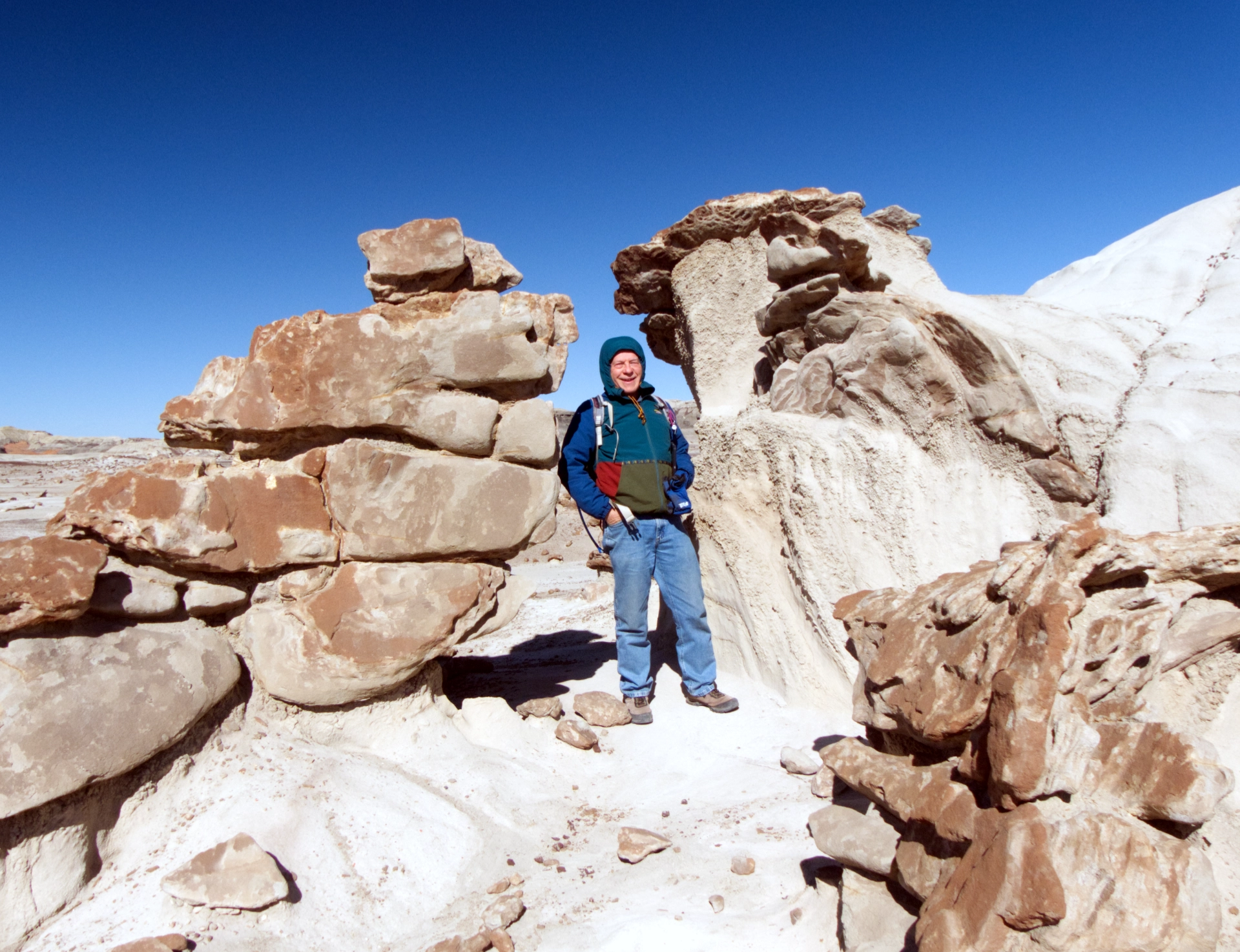
Dennis in a sculpture garden.
Is there a giant silted-in pillar below this caprock?
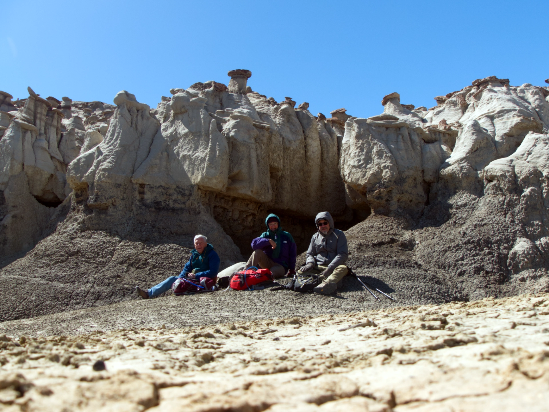
A chilly lunch near the mouth of a sizable cave.
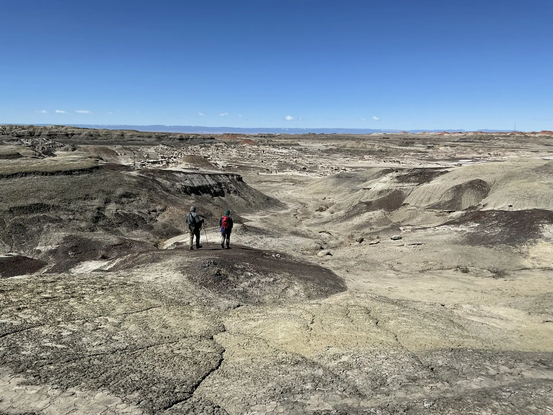
Heading back across a lunar landscape.
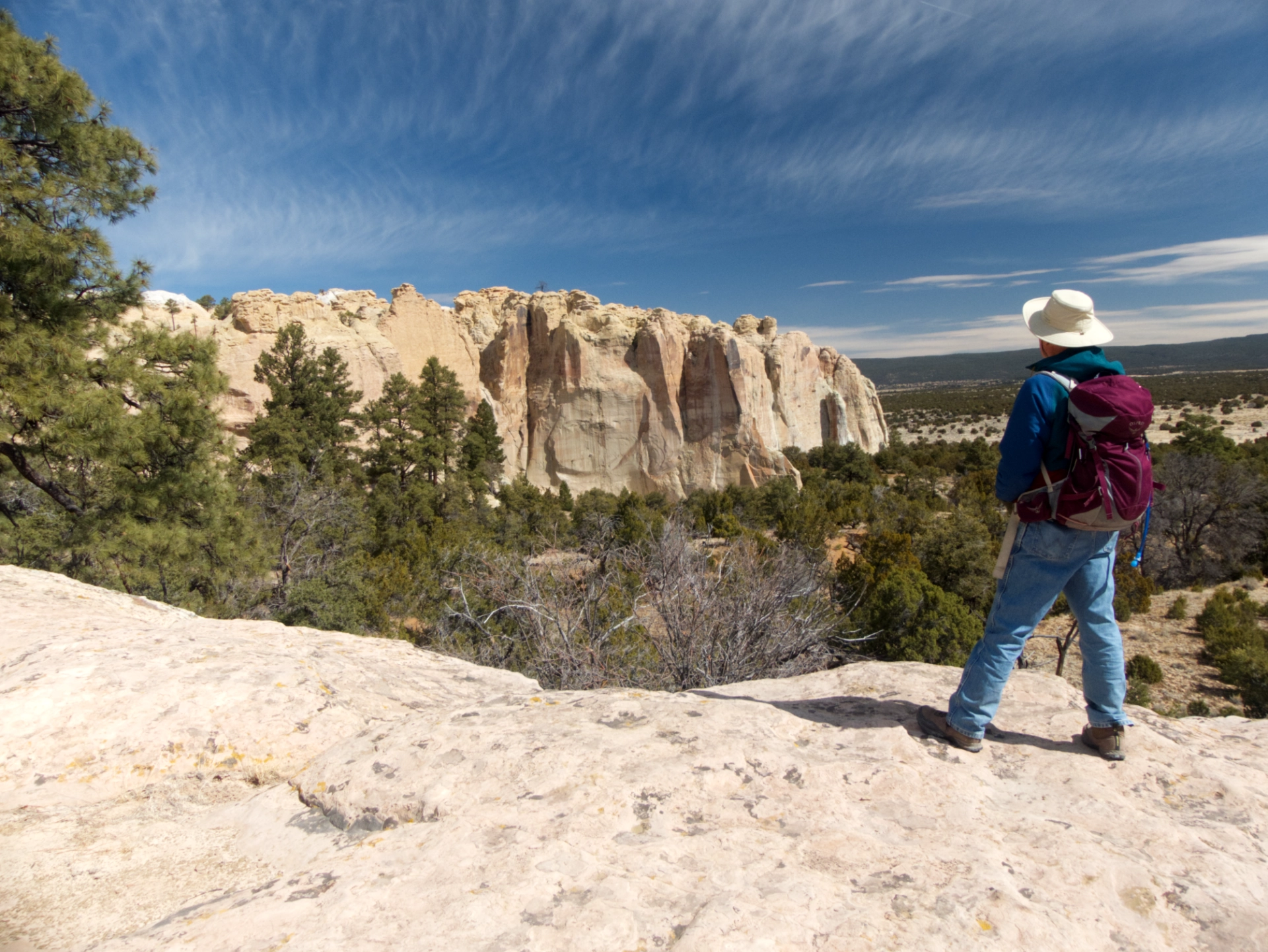
El Morro National Monument
We couldn't get that close to El Morro without stopping in for a visit, especially since Ken had never been there before.
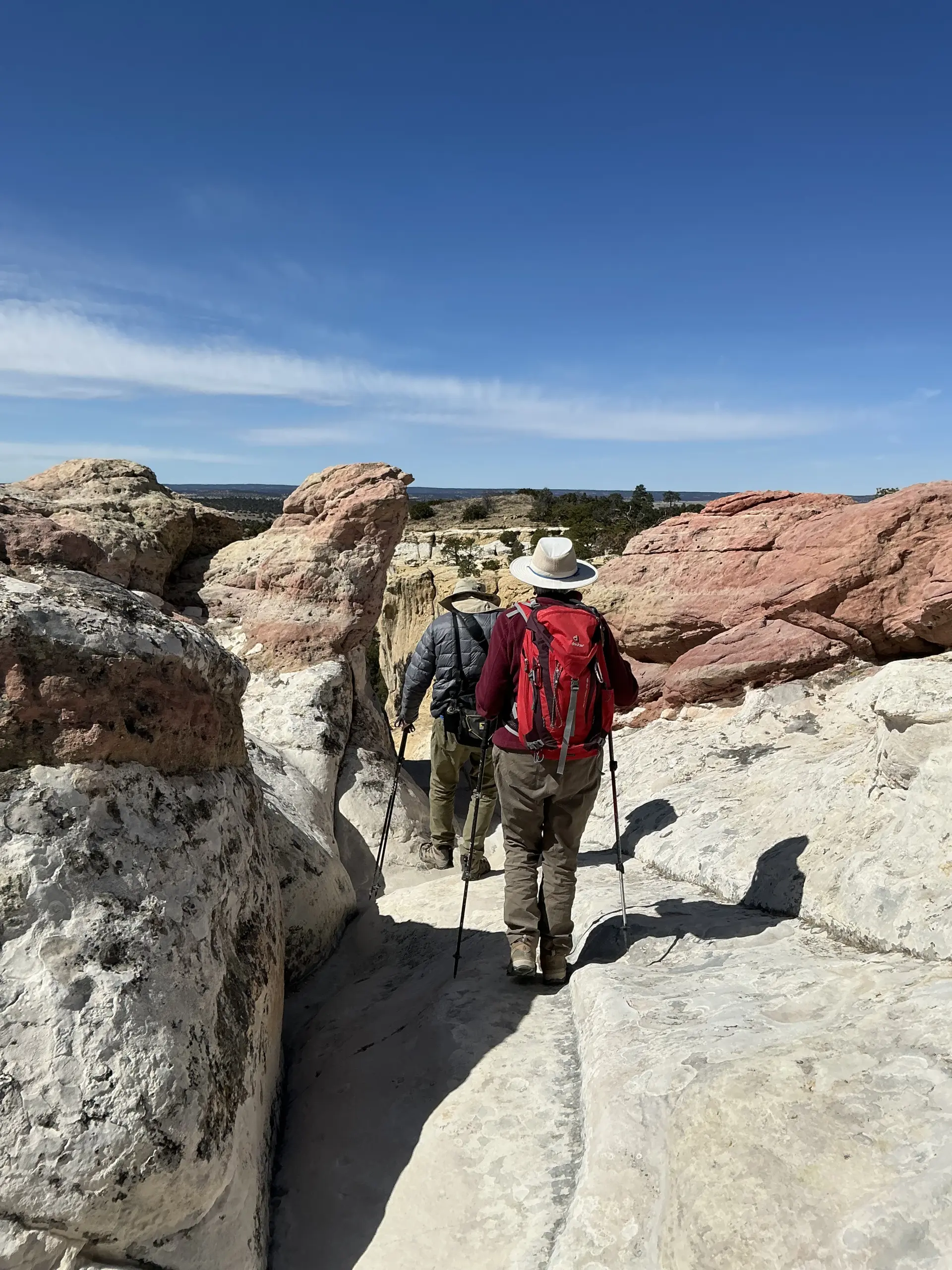
We grabbed a campsite at the nearest campground, and in the morning we hiked both the Inscription Rock Trail and the Headland Trail.
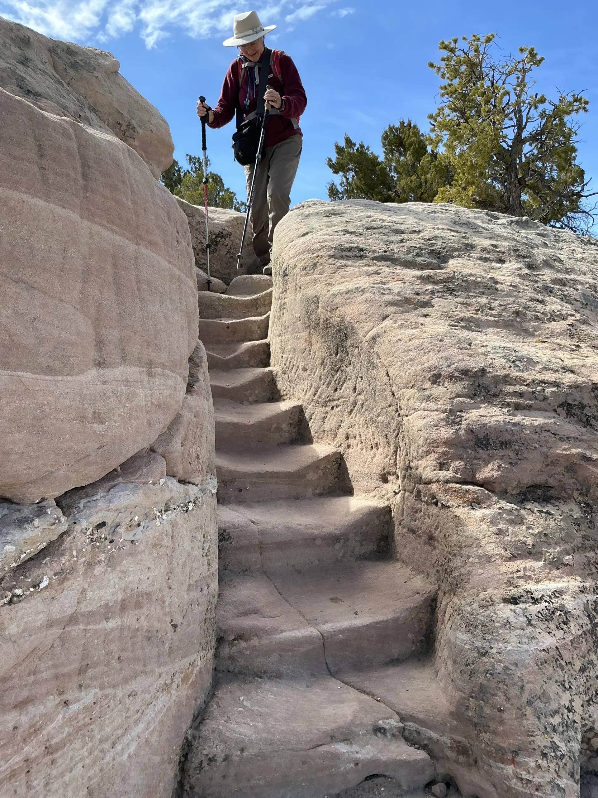
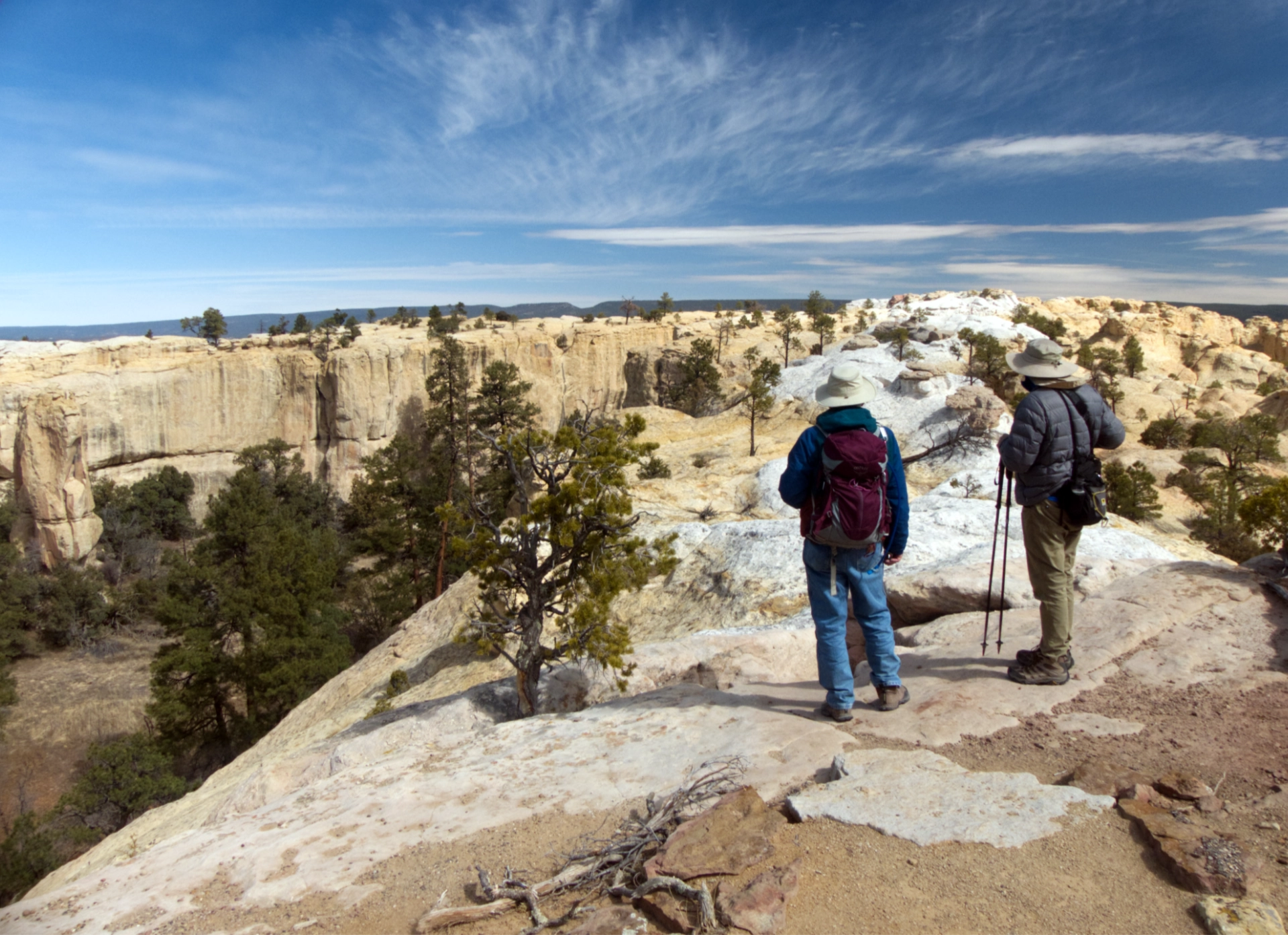
The Headland Trail with its intricately carved steps in bone-white rock is one of our favorites.
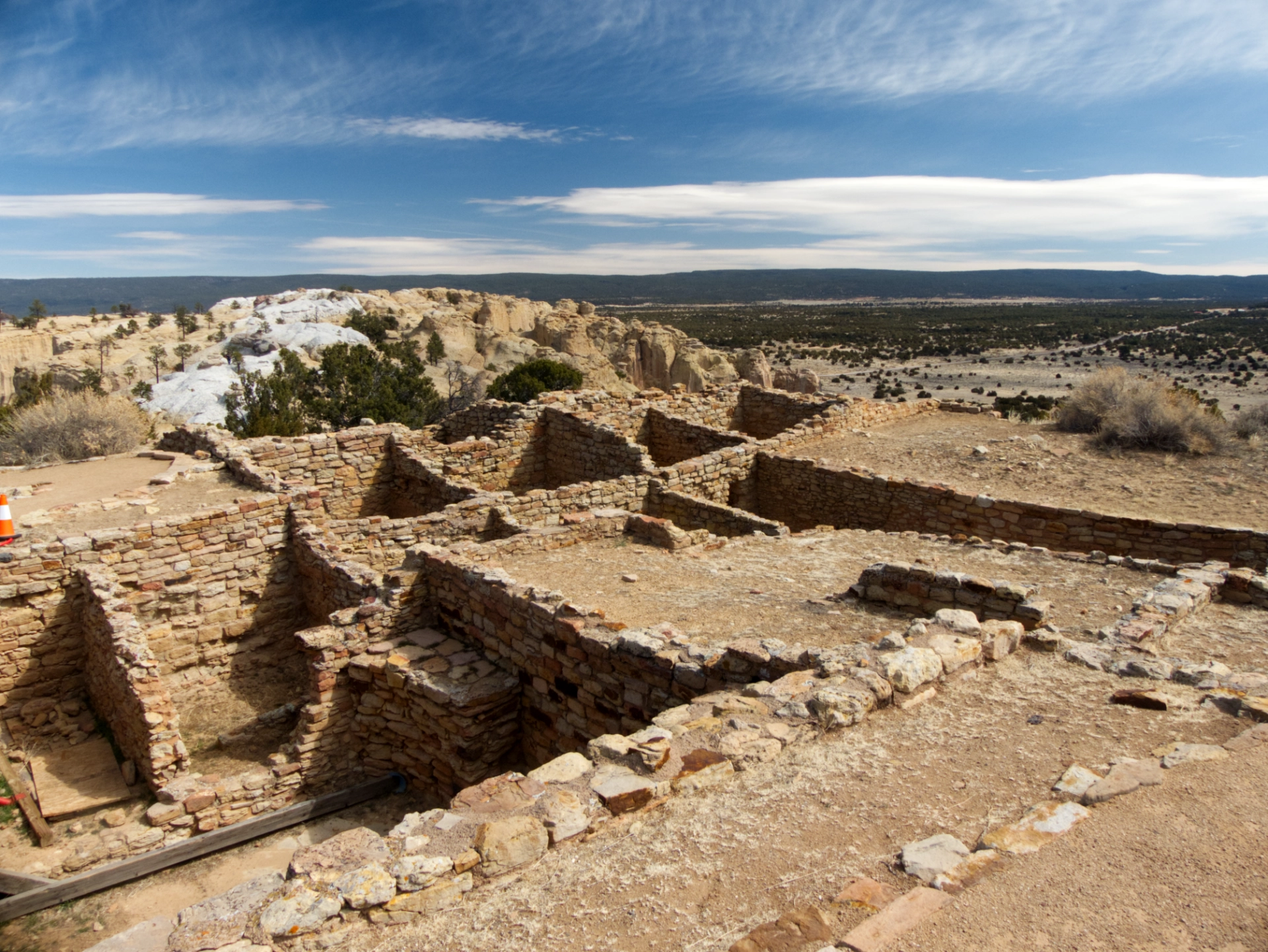
Atsinna Pueblo atop El Morro. This partially excavated pueblo is believed to have included approximately 800 rooms and was occupied for 75-100 years beginning around 1275 AD.
One last look, and then off to one of our favorite camping spots for the night.
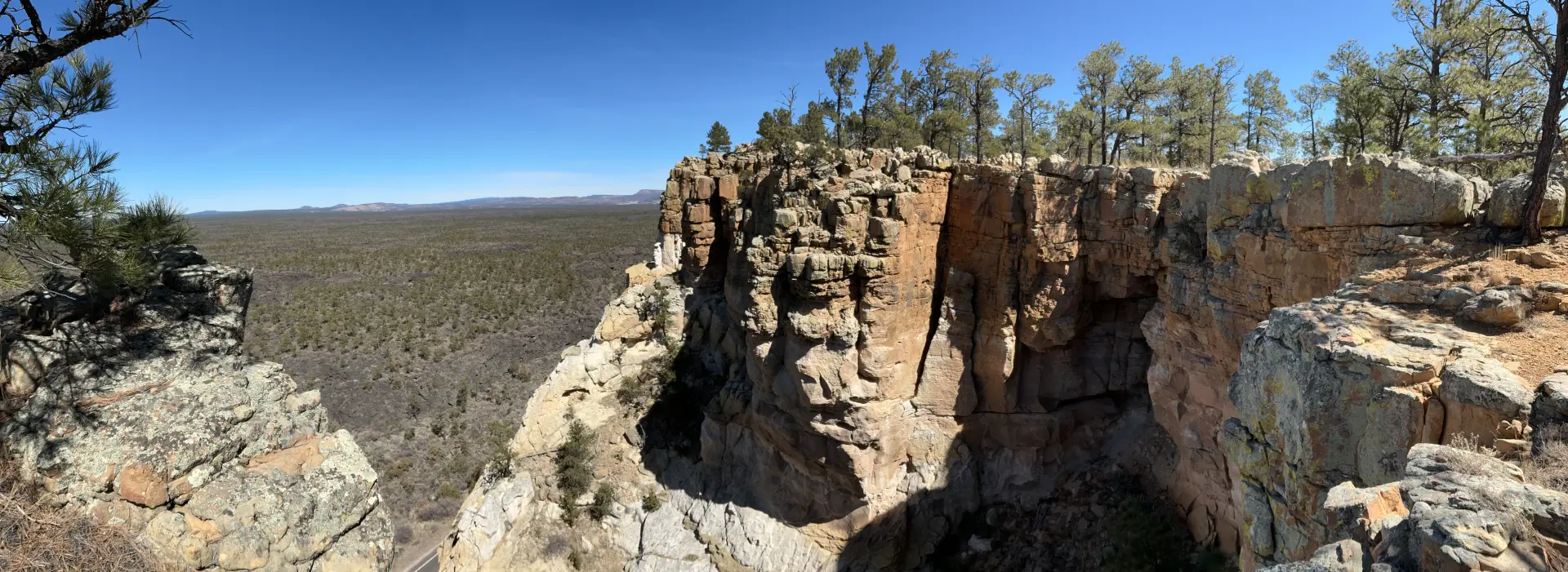
The Narrows
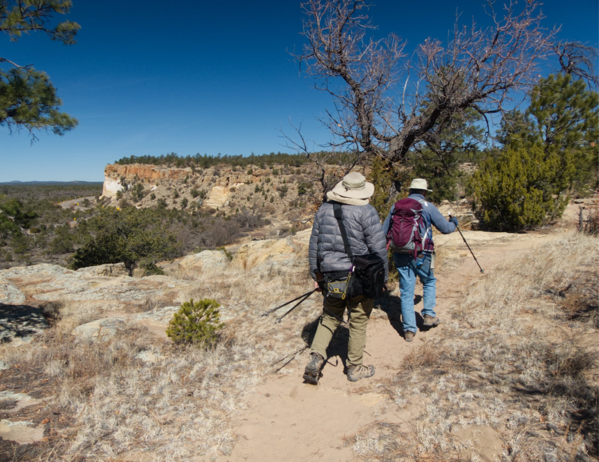
The Narrows Trail runs for approximately five miles atop a sandstone ridge overlooking the El Malpais lava field.
It's a lovely hike, best done in a meditative state of mind, since there is little variation in terrain.
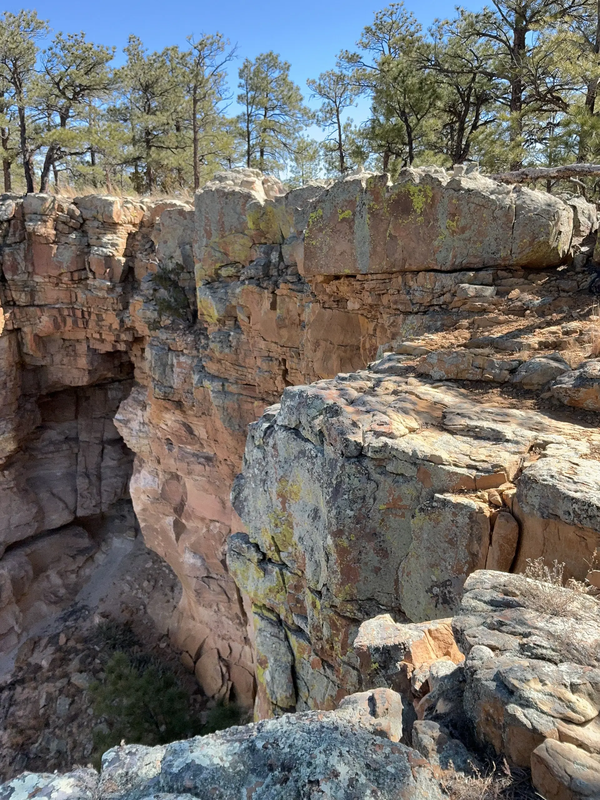
Dramatic sandstone cliffs.
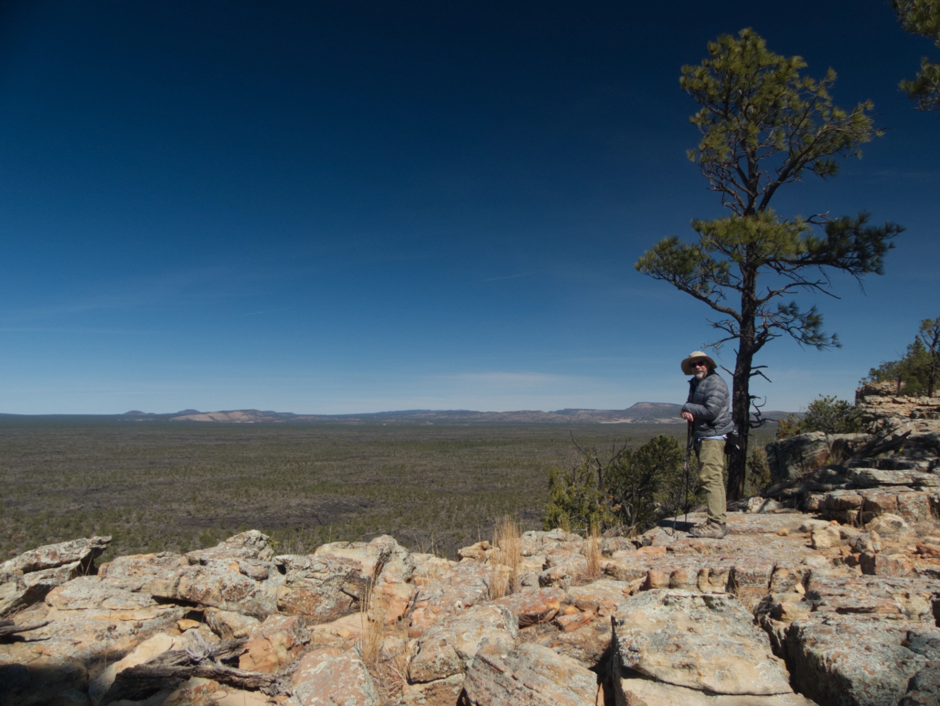
We turned back after about 3½ miles before giving up on catching a glimpse of Mount Taylor. A fine hike on the nicest day of the trip!
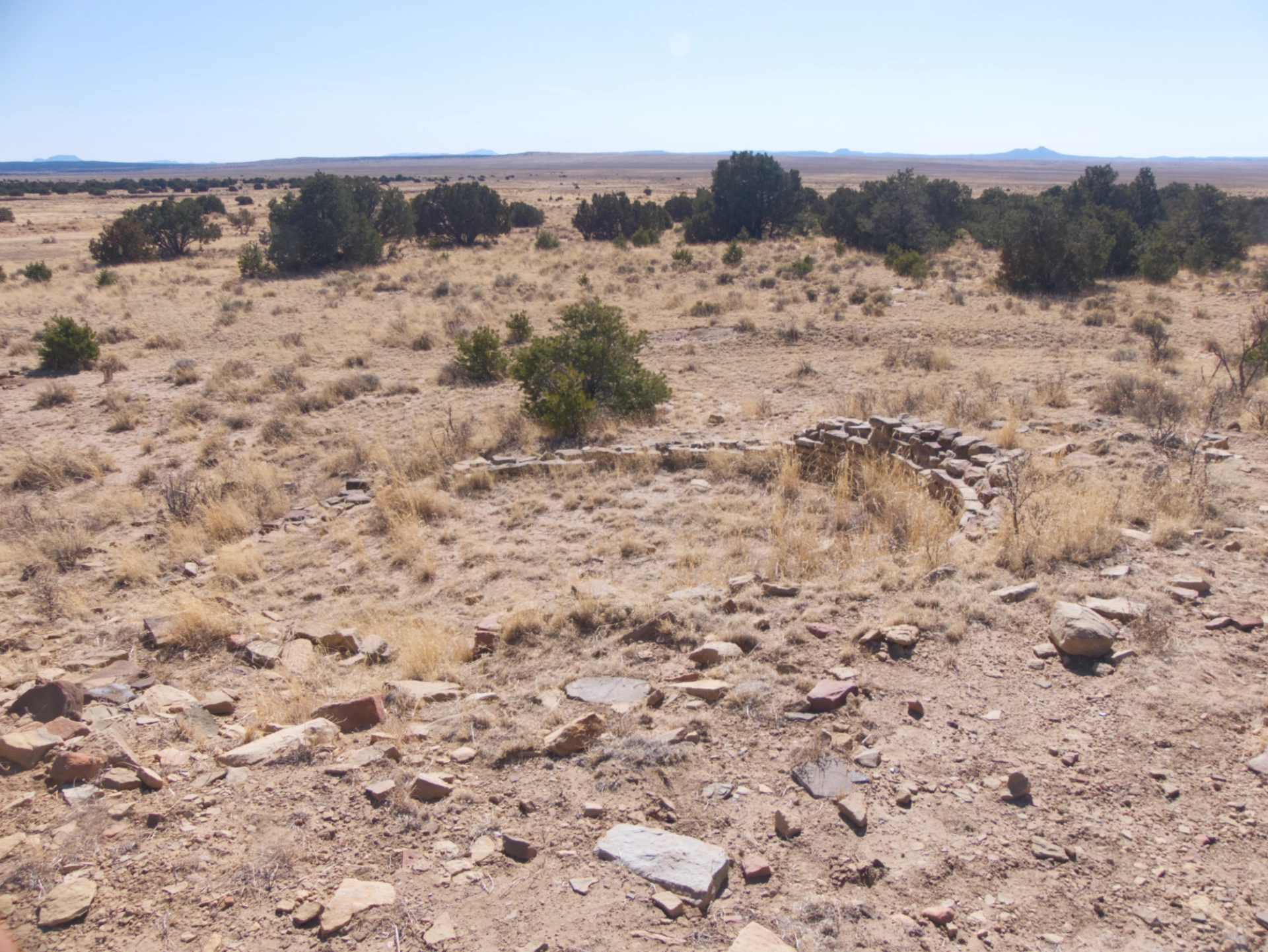
The Dittert Site
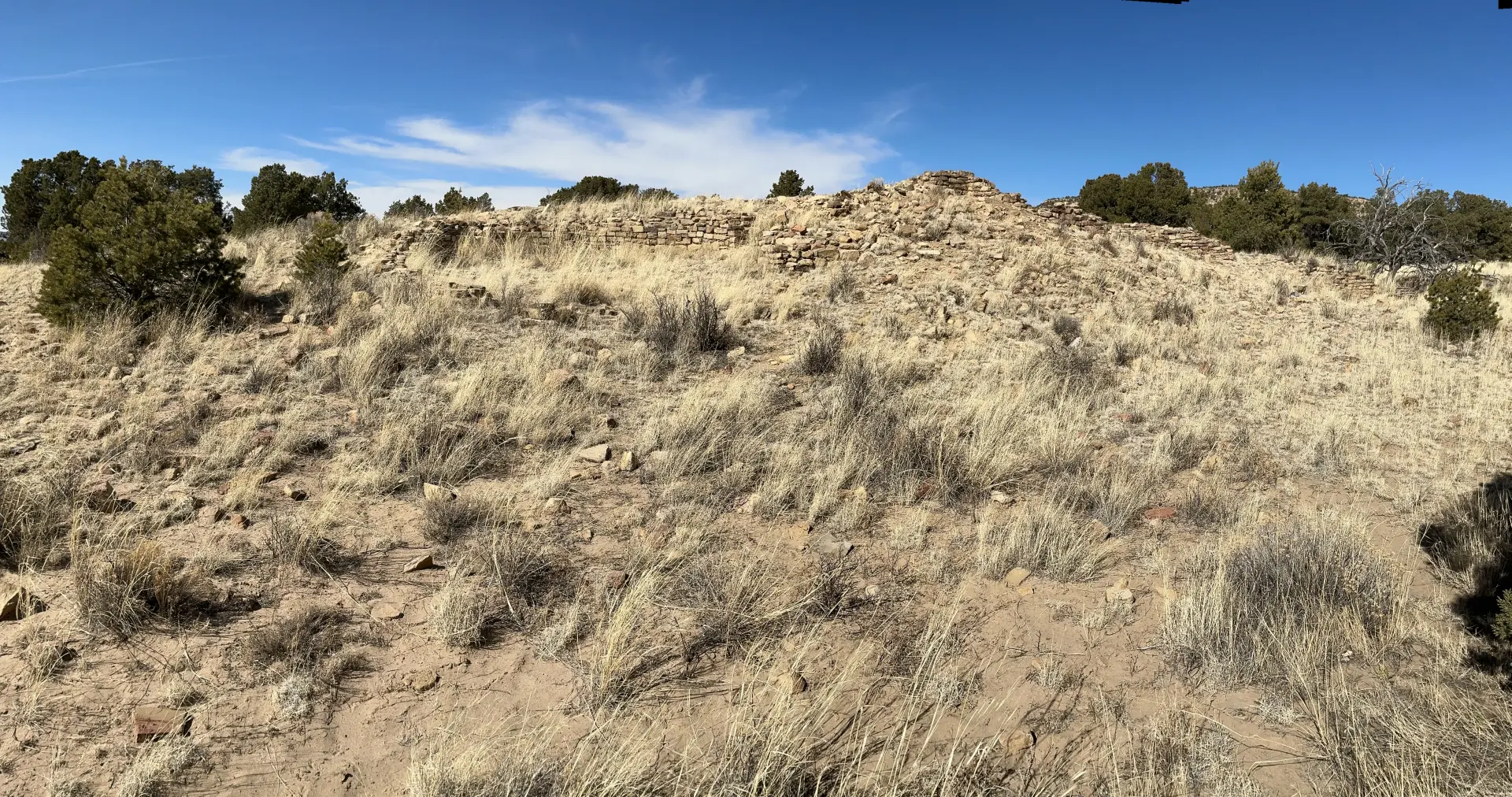
The Dittert site has been on my radar for several years, after visiting a nearby petroglyph panel with unusual geometric designs that reminded us of Hopi artwork.
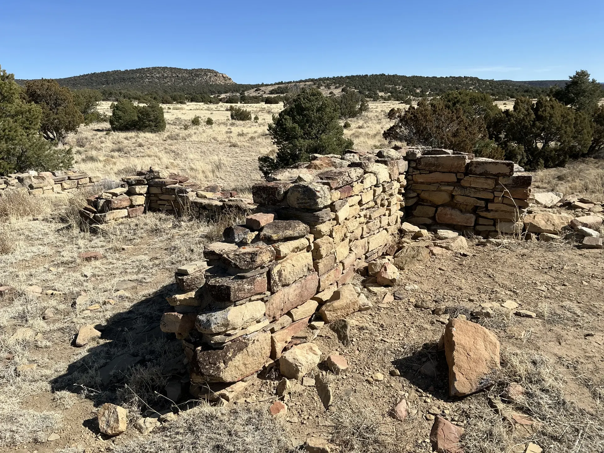
The Dittert site was the hub of a community of more than 60 sites in Armijo Canyon. It was constructed between 1000 and 1300 AD and is named for one of the two men who partially excavated the site between 1947 and 1949.
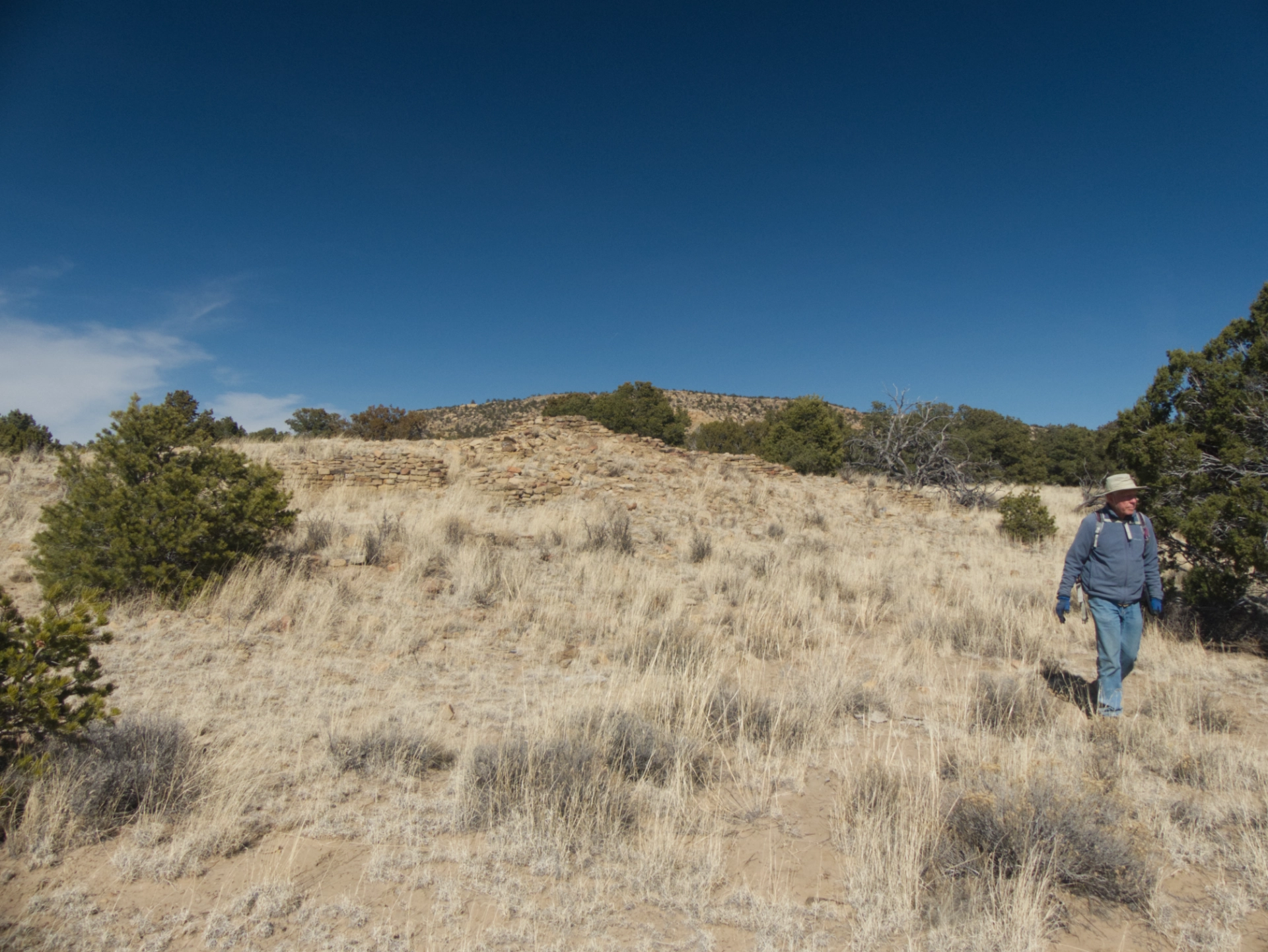
The ruin is an L-shaped masonry structure that was originally two stories high and consisted of 30-35 rooms and a kiva. The architecture is similar to some Chacoan outliers, but the excavated roof beams date to the 1200s, long after the Chacoan system dissolved.
Kiva at the Dittert site.
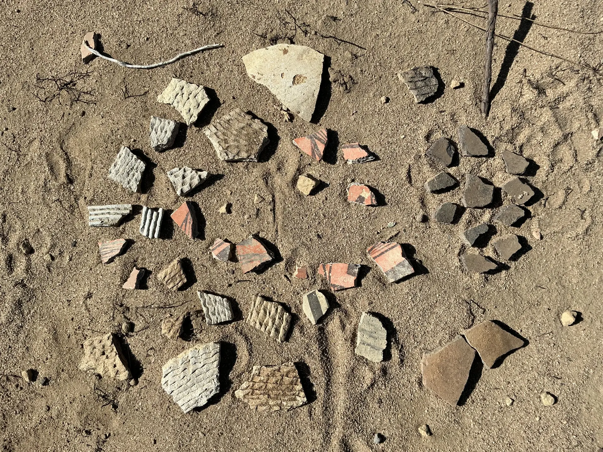
Plenty of pottery shards in the area. We admired it and left it where it was. Fantastic trip! Hiking and camping season is off to a great start!
