Winter Wanderland
South Central New Mexico, December 27, 2016 - January 1, 2017
On a cross-country road trip with my friend Susan and a moving van, we passed through the town of Carrizozo, an old railroad town at the tip of the towering Sacramento Mountains. The late afternoon light cast enchanting shadows on the slopes of the mountain. Nearby, I learned, was a fairly recent lava flow 40 miles long, as well as the reknowned Three Rivers Petroglyphs Site. I vowed to return for further exploration. Life — and death — intervened, and the trip got pushed out to the end of the year, when we knew we were taking a chance on the weather.
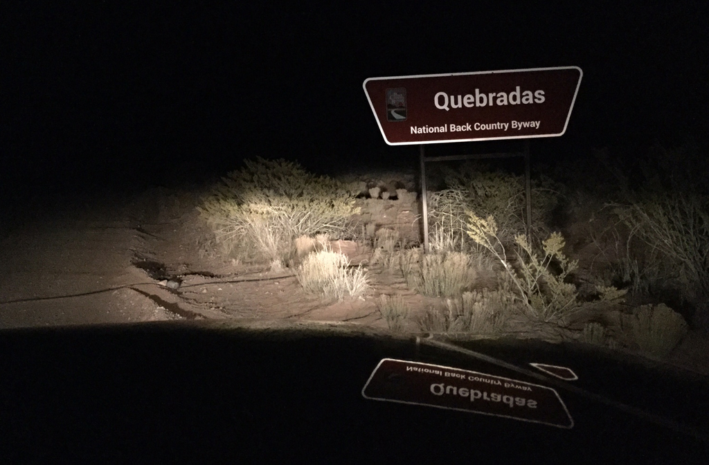 figcaption>Off we went all the same, arriving well after dark and groping
our way to a campsite just off the Quebradas Backcountry Byway
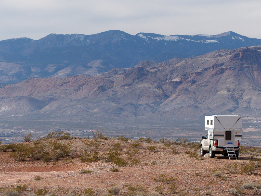 figcaption>Morning found us perched atop a high, barren plain overlooking Arroyo del Coyote and the Rio Grande Valley.
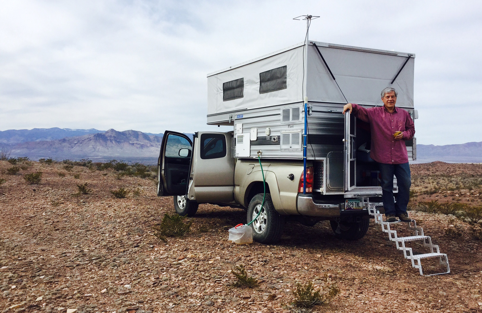 figcaption>The Byway is only 24 miles long, and it would be easy to breeze through this area and see nothing\
of interest. The New Mexico Bureau of Geology and Mineral Resources publishes an excellent guide
to the geology of this area.
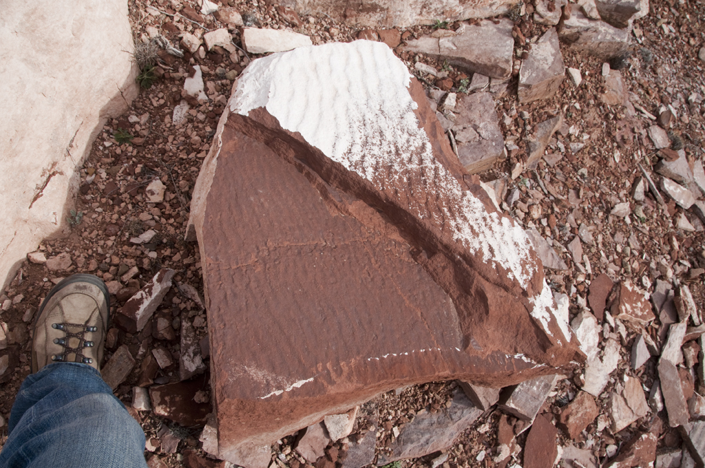
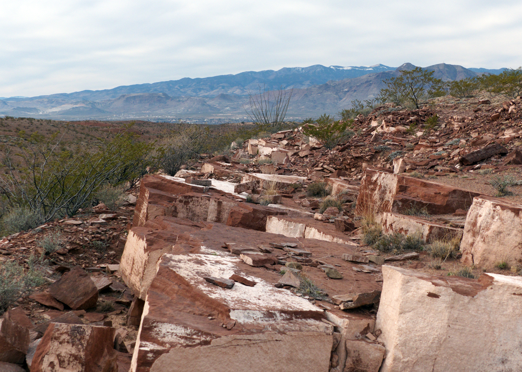 figcaption>These low cliffs — or "quebradas" — are scrubbed bare, revealing an astonishing
history of epoques of subsequent vulcanism, inundation and sedimentation.
 figcaption>Did you know that 24 to 36 million years ago, the Mogollon-Datil volcanic field
was one of the most volcanically active regions in the world, producing roughly 1000 times more rock, ash and pumice that Mount St. Helens, and that Socorro,
New Mexico,
sits atop one of the few active magma bodies in the US?
Or that the Rio Grande River did not carve its namesake valley, but instead opportunistically flowed into an enormous rift created by heating and stretching
of the earth's crust?
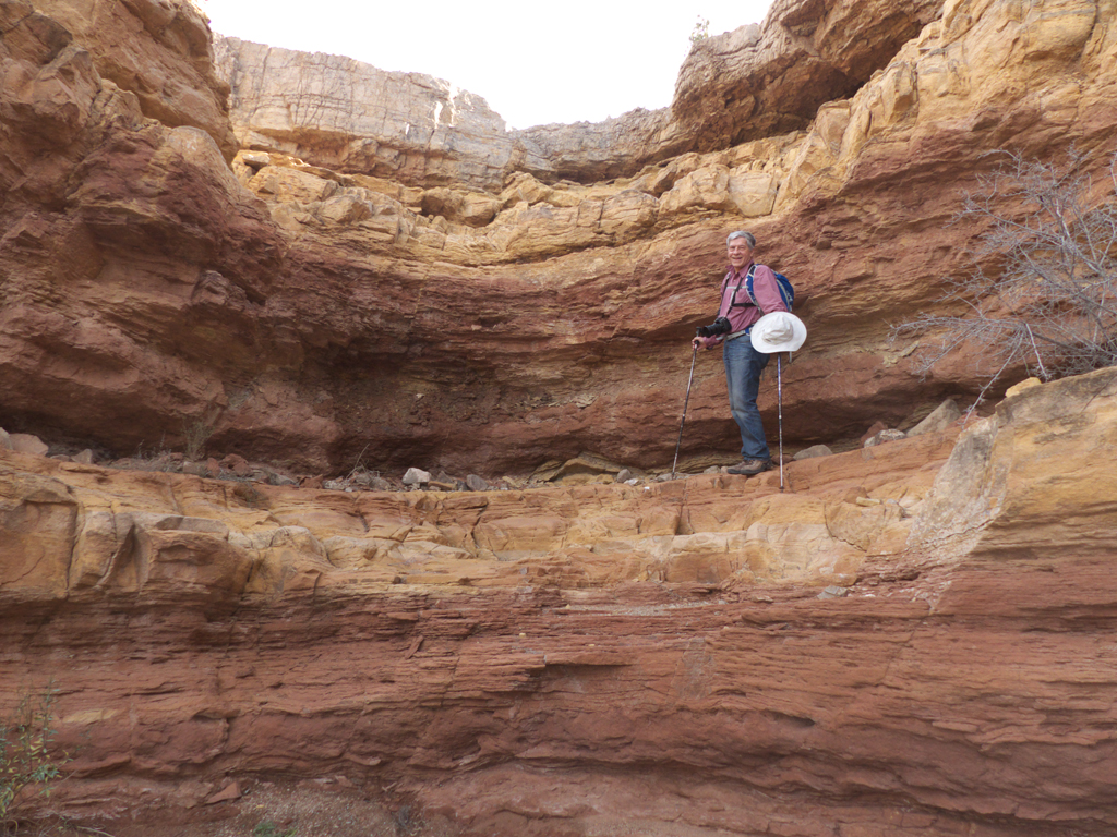
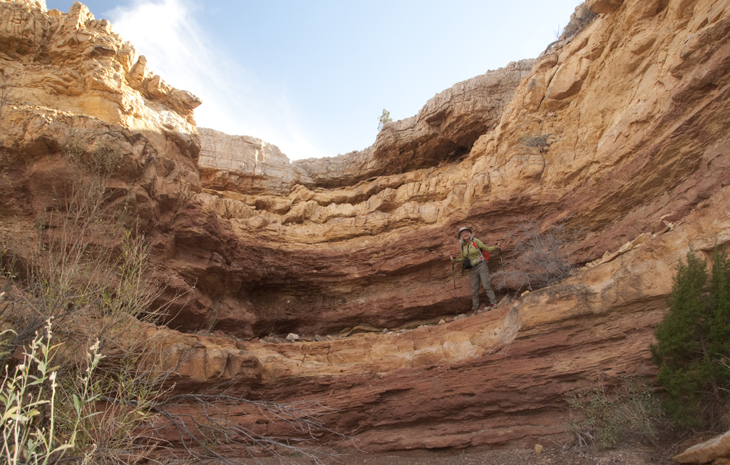
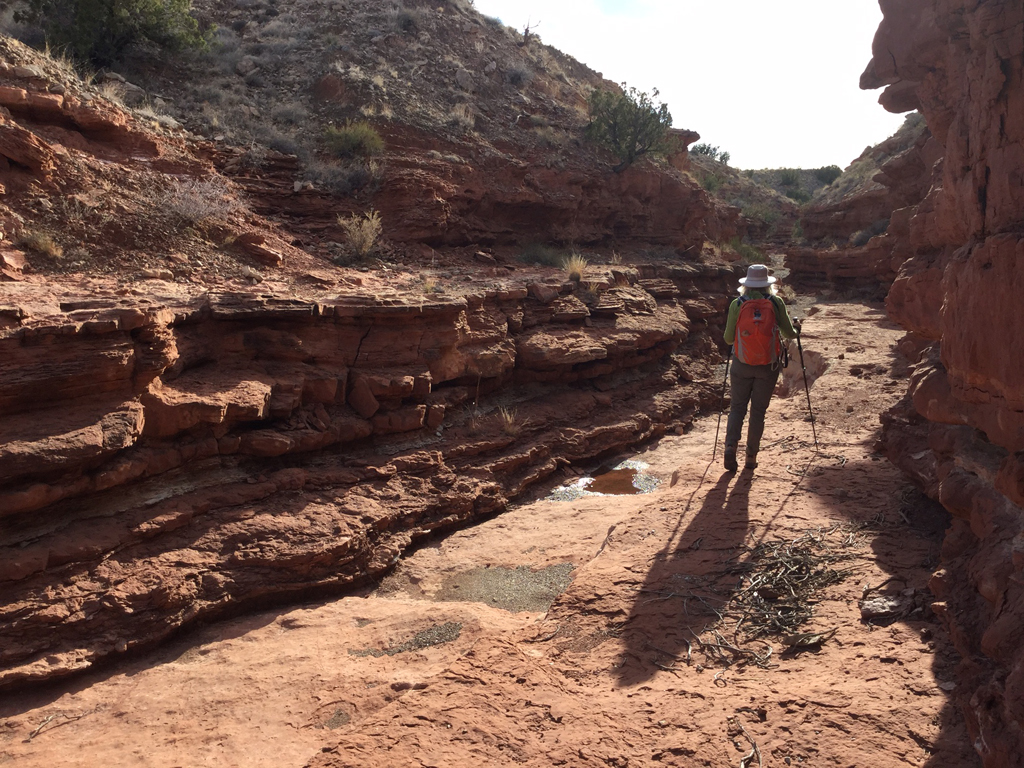
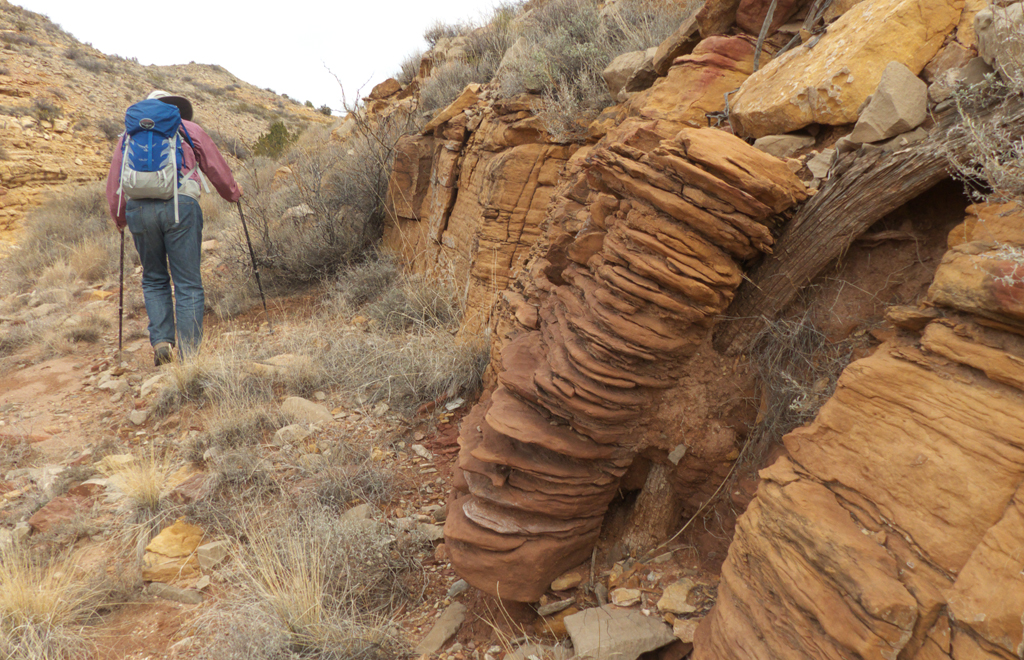 figcaption>We explored Arroyo del Tajo which, starts out
as a wide gravel wash, and narrows to a ruddy slot canyon, meanwhile passing through a rainbow rock strata.
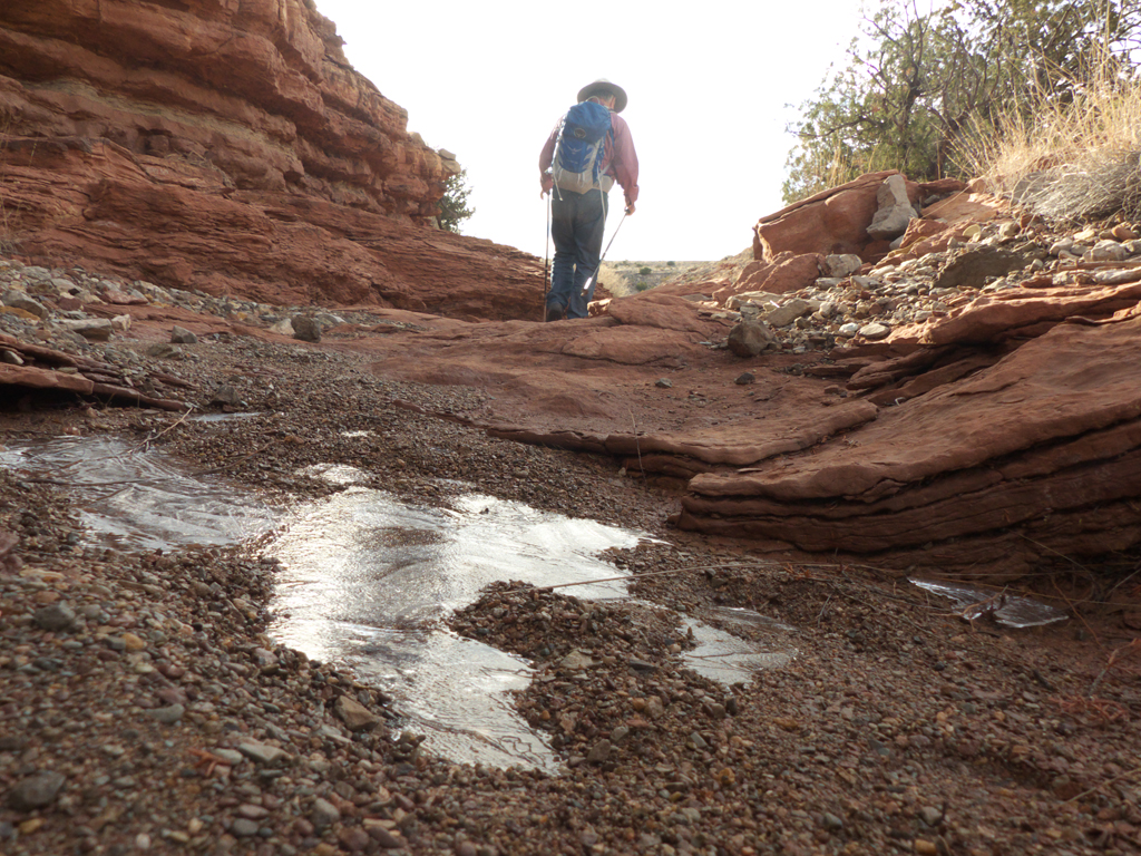
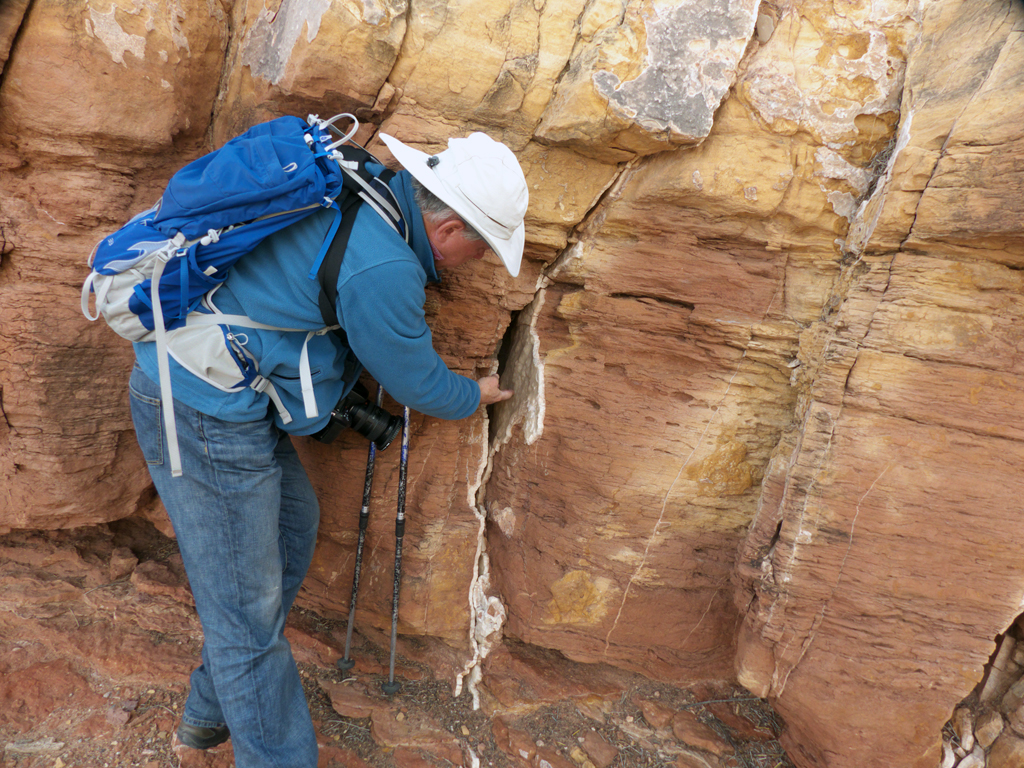 figcaption>Colorful rock strata contain ripple marks, marine fossils and plant remains from
ancient sea beds, veins of quartz and shards of gypsum.
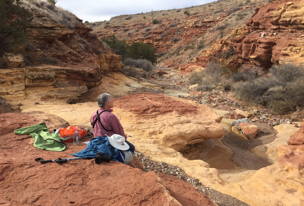 figcaption>Lunch stop at a colorful dry waterfall.
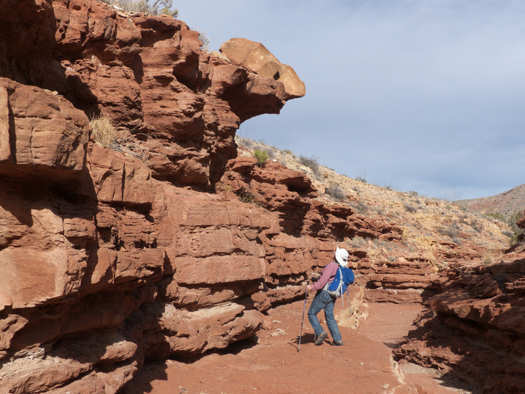 figcaption>Sometimes the canyon floor was smooth as concrete, ranging from brick red to mustard yellow,
and sometimes it was rough as gray as an elephant's hide.
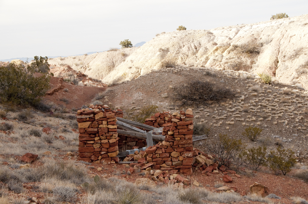 figcaption>The arroyo dead-ends in a stunning box canyon, where water trickles in a tiny stream next to a
tumble-down stone cabin.
 figcaption>
 figcaption>As we continued along the Byway, we passed many other intriguing arroyos, and my guess is that
they would all reveal an assortment of slot canyons, old home sites, fossils and pictographs for those who take the time to explore them.
 figcaption>
 figcaption>Our next challenge was finding a good camping spot. We knew it was going to be a chilly night.

We dropped into Arroyo las Cañas and at the top of the hill we followed a short side road that snakes across an enormous sand dune. Scroll for a thrilling sunset panorama!
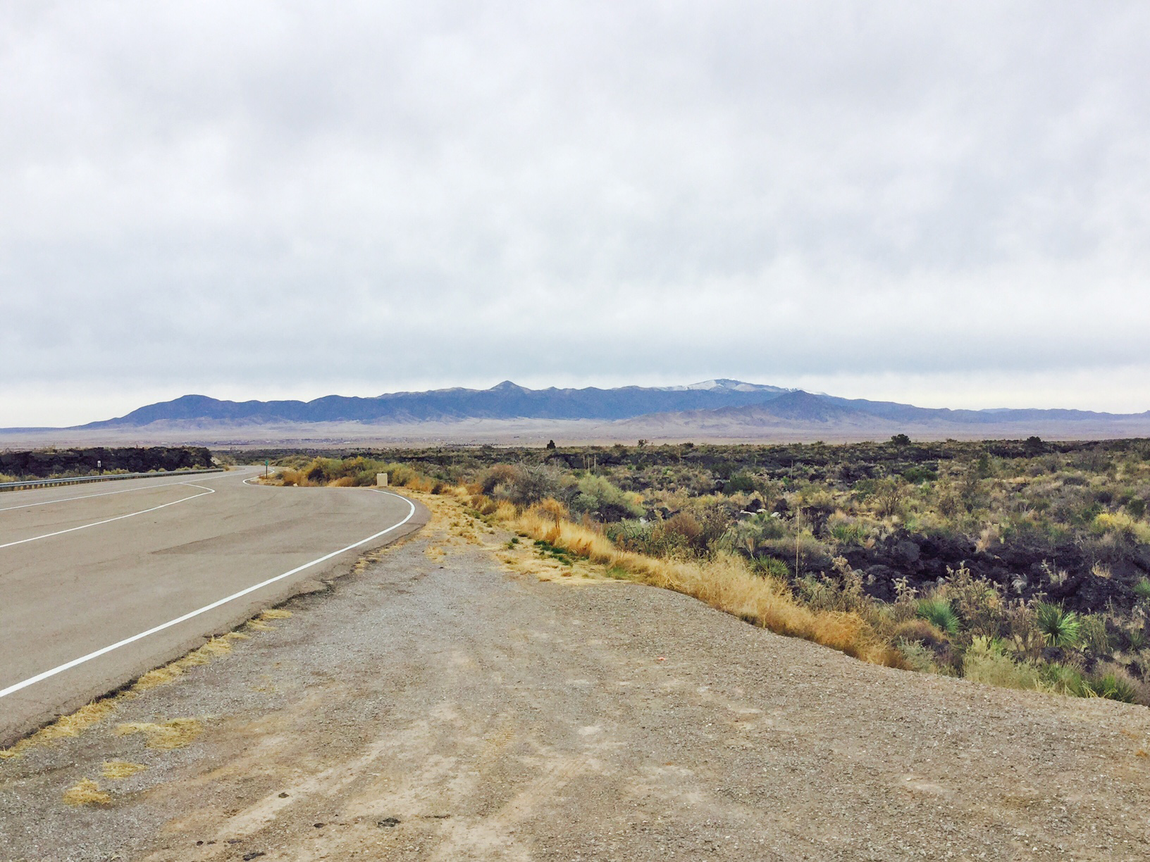 figcaption>Fortunately we were in the Quebradas for the one partly sunny day of our trip. At the end
of the Byway, we picked up NM 350 heading east toward Carrizozo. We spent the night at Valley of
Fires, where approximately 5000 years ago, Little Black Peak erupted and created a lava flow 44 miles long and four to six miles wide.
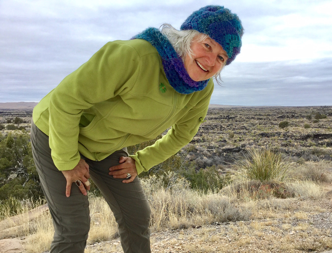 figcaption>There's a short hike here, but for us the main attraction was a great campground, with tenting spaces
nicely separated from the RV sites and tucked, out of the wind, right next to the lip of lava. And there were showers, glorious hot showers, and all for $3.50 a night with
a Golden Geezer pass woot woot!
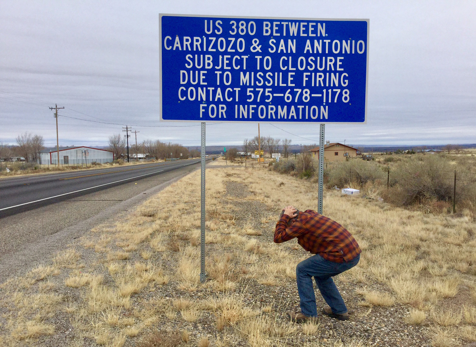 figcaption>This is an interesting part of the world, sandwiched between the Sacramento Mountains, a giant lava flow, and the
White Sands Missile Range, which covers 3,200 square miles in parts of five counties.
figcaption>This is an interesting part of the world, sandwiched between the Sacramento Mountains, a giant lava flow, and the
White Sands Missile Range, which covers 3,200 square miles in parts of five counties.It was miserably cold, damp and windy, so we wandered into Carrizozo for the afternoon.
 figcaption>We followed signs for the "12th Street Historic District" and were astonished to discover that one of the few occupied buildings
was an excellent coffee shop.
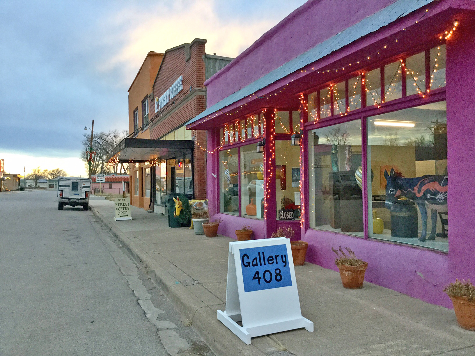 figcaption>Shelby, the owner, and another customer quickly joined us at the one large table, and treated us like
old friends who had just stopped in for a visit.
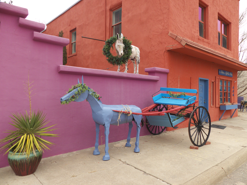 figcaption>We learned about this tiny community of fewer than 1000 people, and the small group of artists who are trying to
revive it. Here, and everywhere we went, people were eager to tell us about their community and highlight things to see and do in
the area. By the time we left, I was emailing myself "homes for sale" ads!
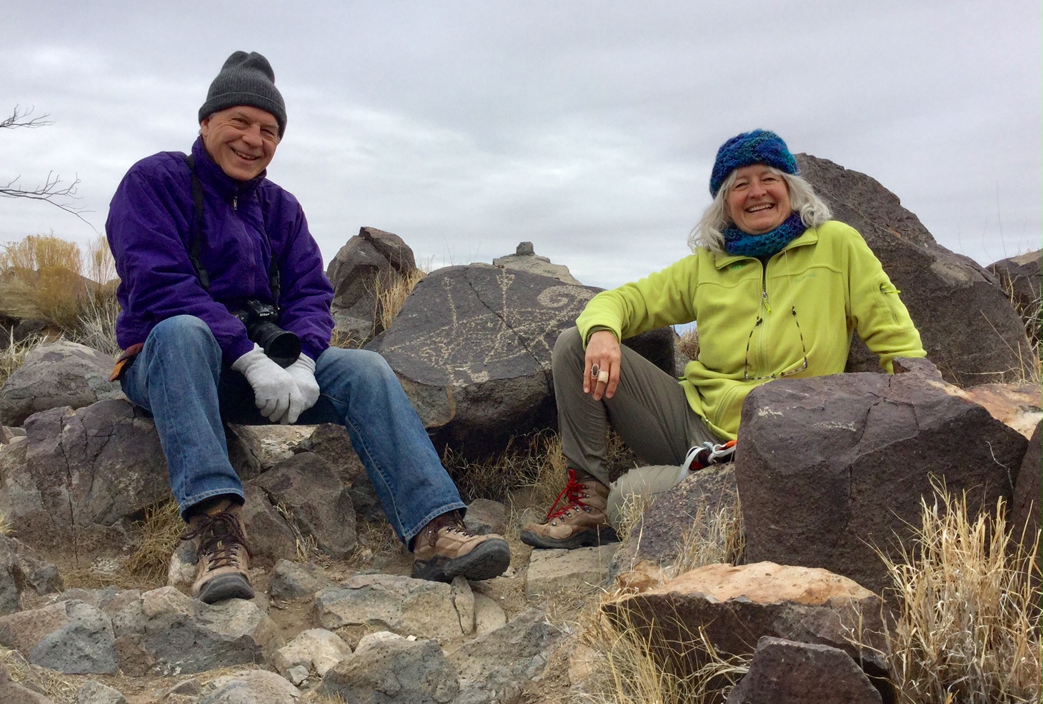 figcaption>Next stop was the fabulous Three Rivers Petroglyphs Site,
where there are more than 21,000 petroglyphs pecked into pile of black boulders atop a mile-long compression ridge. It's not only one of the largest
such sites in the Southwest, but also one of the most interesting, featuring not only geometric patterns and abstract art, but a huge variety of glyphs of birds, humans, animals,
fish, insects and plants. The glyphs were pecked into the rock between 900 and 1400 AD, by Jornada Mogollon people. We created a separate page for our photos of the glyphs at
Three Rivers Petroglyphs Site.
 figcaption>There was camping on-site (not to be confused with the
Forest Service campground, also called "Three Rivers", eight miles up the road, so we decided to spend the night and check
out a historic church the park ranger told us about.
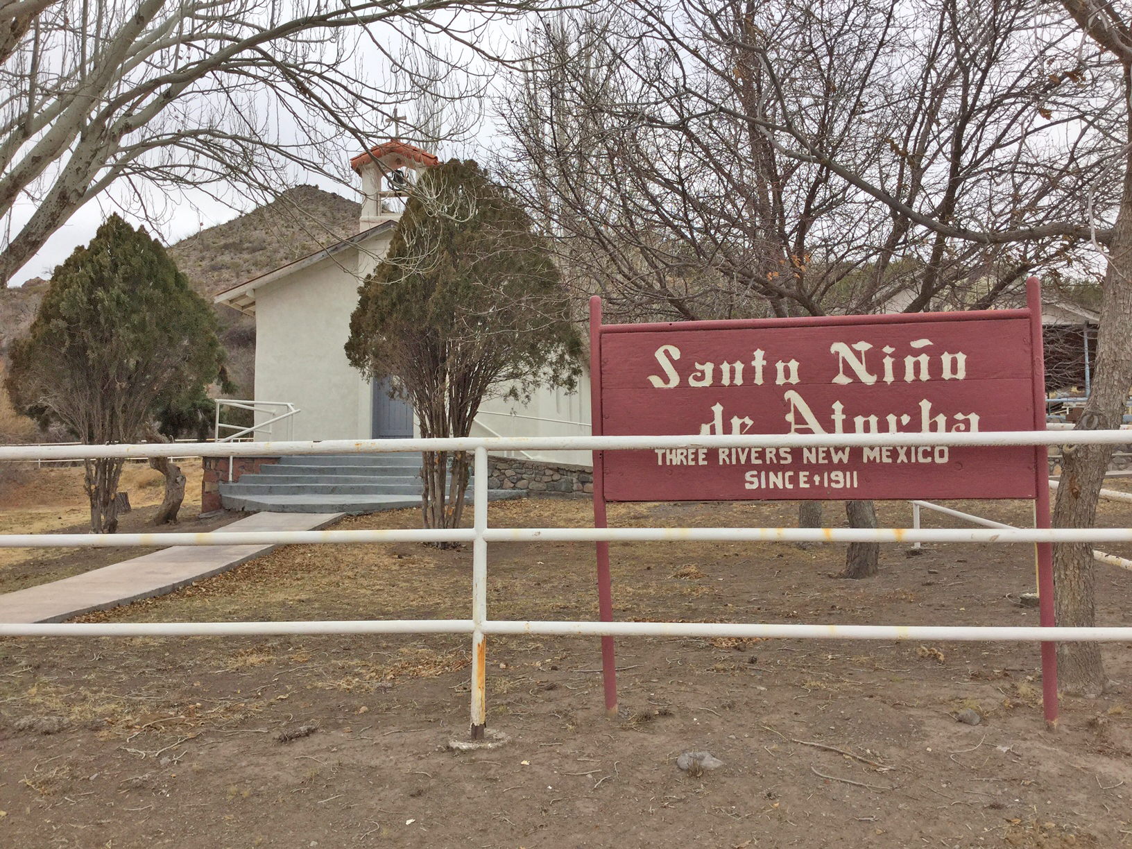
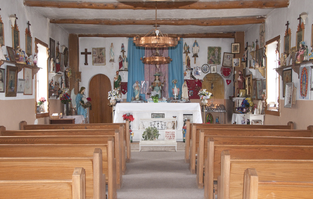 figcaption>Santo Niño de Atocha was built in 1911 to serve what was then a thriving
ranching community in the Tularosa Valley. Frank Potrillo was born in the mountains near Three Rivers,
and when he served in World War II, he prayed to Santo Niño to bring him home safely, and promised he
would take care of the church for the rest of his life. He kept his promise, and passed the church keys to his grandson, who makes a couple of trips a week from Tularosa to keep the tiny church clean and in
good repair, even though regular services haven't been held there in many decades.
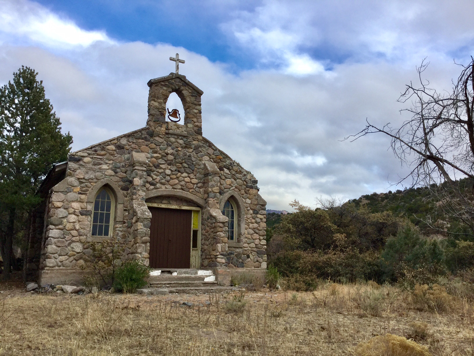 figcaption>We continued up the road to check out another
historic church on the Mescalero Apache Reservation.
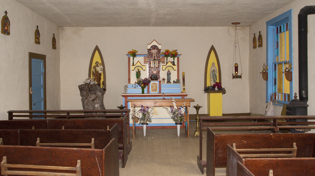 figcaption>San Patricio Chapel was built by volunteers
from the surrounding communities in 1929, using rock from a nearby creek. Virgina Shanta, who was a child
when the church was built recalls that Apaches and Hispanics alike pitched in to help build the church. "I remember
the female members of my family preparing the meals. The neighbors all came. They were there bringing food —
chile or beans or tortillas or whatever — and my grandfather provied the meat. They all had open fires and they
cooked. And they would eat together and then go back to work again.
Daylight to dark. It was a unified effort." Someone donated a potbellied stove. Others helped with benches,
candlesticks and staturary. The lectern — visible at left in the photo — was carved from a large tree trunk.*
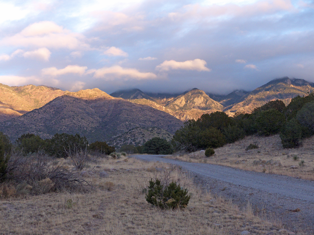 figcaption>Climbing into the Sacramento Mountains at sunset, with a
dusting of snow peeking out below the clouds.
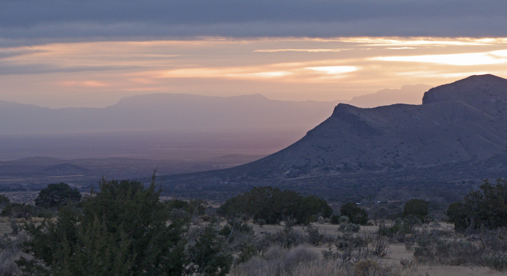 figcaption>The Tularosa Valley at sunset.
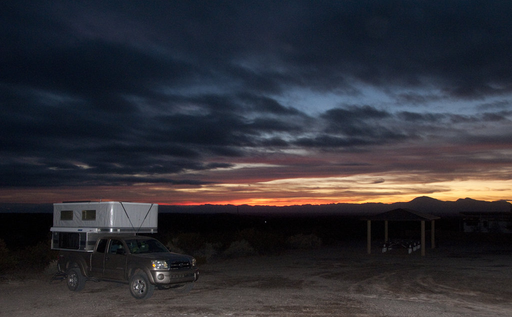 figcaption>A frosty night at Three Rivers. We finally broke
down and ran the tiny propane furnace on low. Overnight, a storm front moved and drenched much of southern Arizona and New Mexico with rain
for the next two days. Our trip to Lake Lucero, which, along with
Alkali Flat, is the source
of the gypsum sands that comprise White Sands National Monument, got rained out.
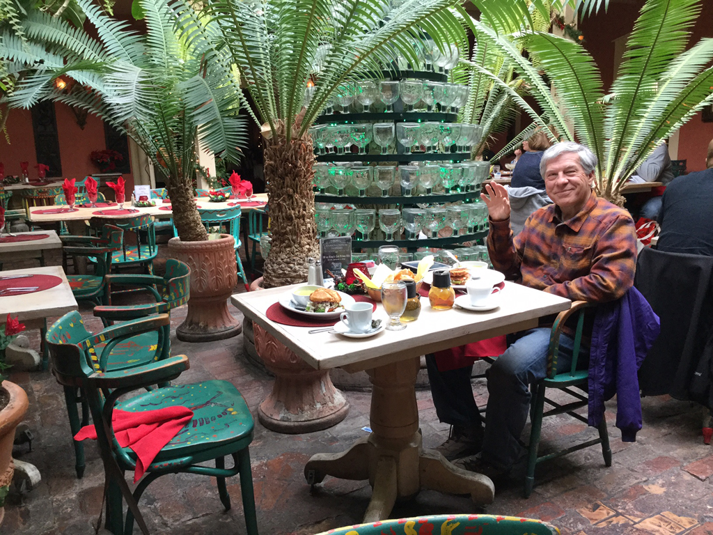 figcaption>Bail out time! After a terrific lunch at
Peppers in Mesilla, we headed for our favorite bail-out spot.
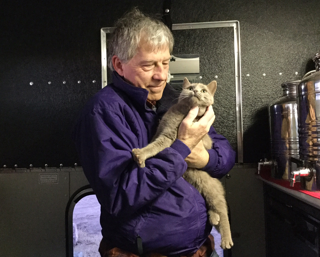 figcaption>As always, every campsite at Faywood Hot Springs
comes with a very friendly cat.
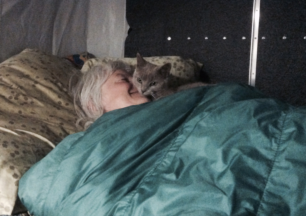 figcaption>A happy camper on New Year's Eve, asleep at 9:00 pm with
a cat on my face!
figcaption>A happy camper on New Year's Eve, asleep at 9:00 pm with
a cat on my face!*From God's Warrior: Father Albert Braun, OFM, 1889-193, Last of the Frontier Priests by Dorothy Cove.
