-
Tadpole Ridge
July 30, 2026
Tadpole Ridge is a high-elevation trail with easy access from NM 15 that was badly scorched by the Tadpole Fire in 2020 and the Trout Fire of 2025. But the trail is in great shape, the forest is recovering nicely, and a shortened version of this trail makes for a great warm weather hike!
-
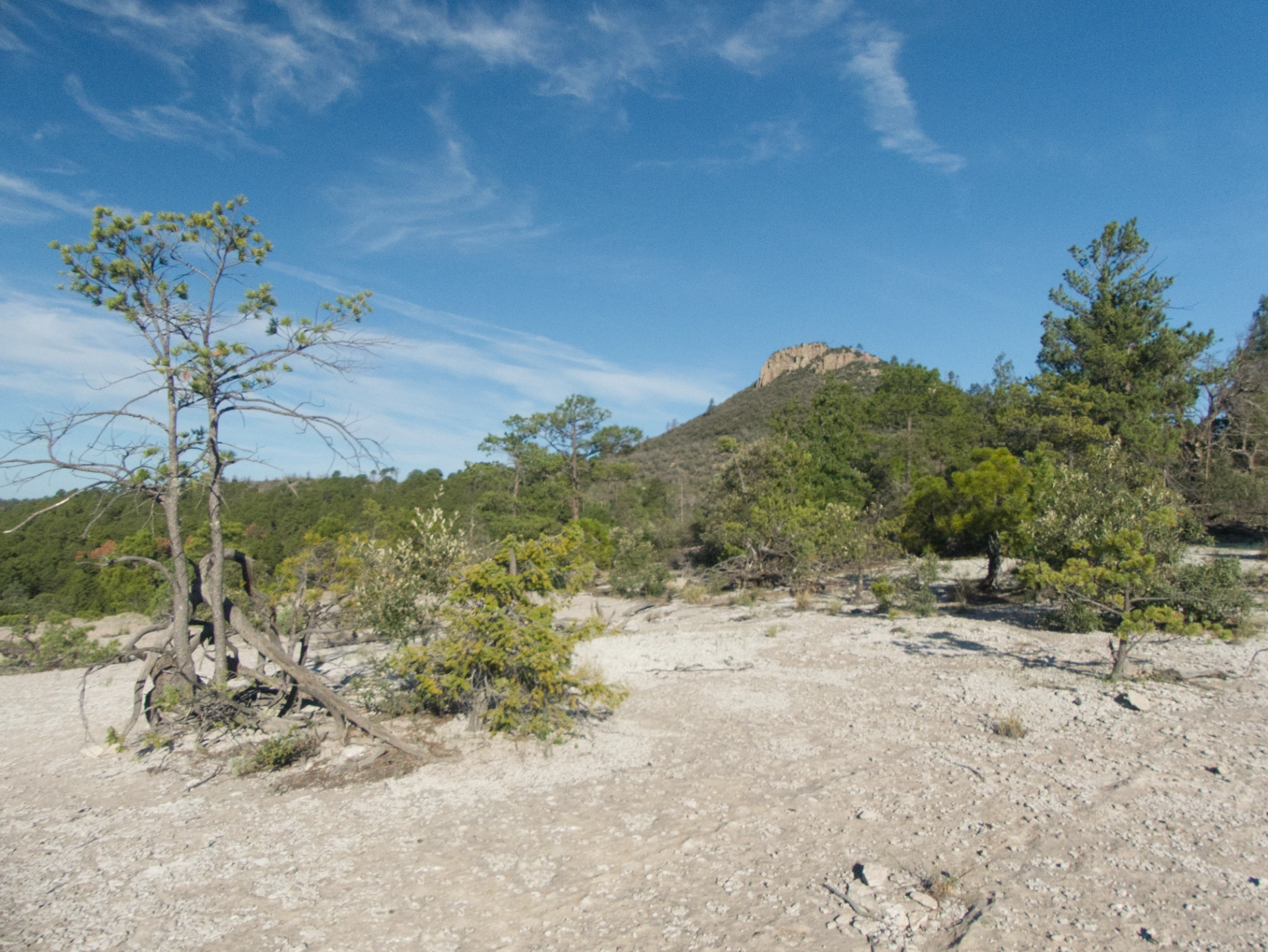
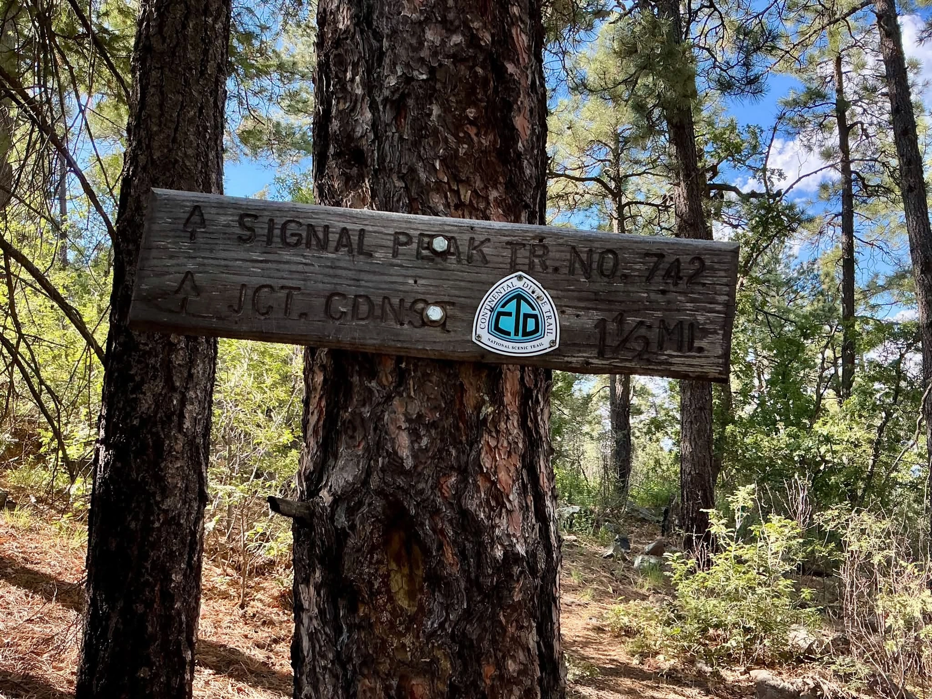
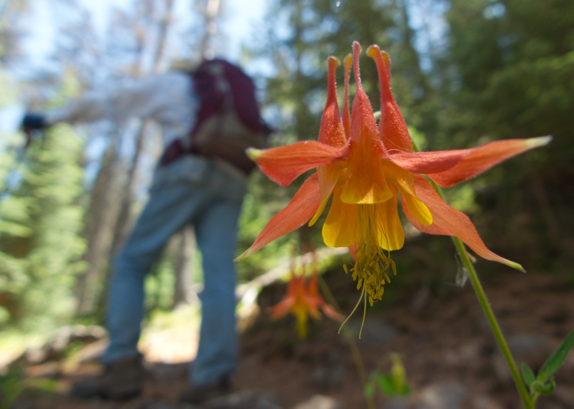
The Black Peak-Signal Peak Trail
July, 2026
The monsoon has been fantastic so far this year! But with the rain comes heat and humidity. Fortunately, we live at the extreme southern end of the Rocky Mountains, so there's a cool green high elevation fix nearby. One hot July day Dennis and I decided to go in search of a possible trail between Signal Peak and Black Peak.
-
Elio
2015-2026
At the Animal League of Green Valley, there were lots of great cats. But there was only one, a small tabby named "Eleora", who fixed me with her deep golden eyes and latched onto my purse. While we were filling out the adoption papers, we learned that Miss Eleora had recently received some "gender-affirming care"!

-
West Baldy Wilderness Area
June 19, 2026
Starting up the trail, these well-worn Gila hikers were amazed by the gentle grade and the cushy tread of of packed earth and pine straw. The forest is dark and dense — mostly tightly packed Doug firs — with an impossible number of downed logs just off the trail. Someone is doing some earnest trail maintenance!
-
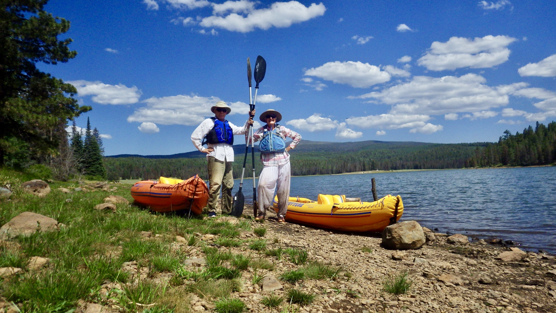
A Lesser Lake in the White Mountains
June 15-18, 2026
June is the cruelest month in southern New Mexico. High temperatures set new records each year while we wait anxiously for the life-giving monsoon to put an end to the constant threat of wildfires. Even though we live in Paradise, this is the time of year when we are most inclined to flee to higher elevations for relief from the heat and the drought.
-
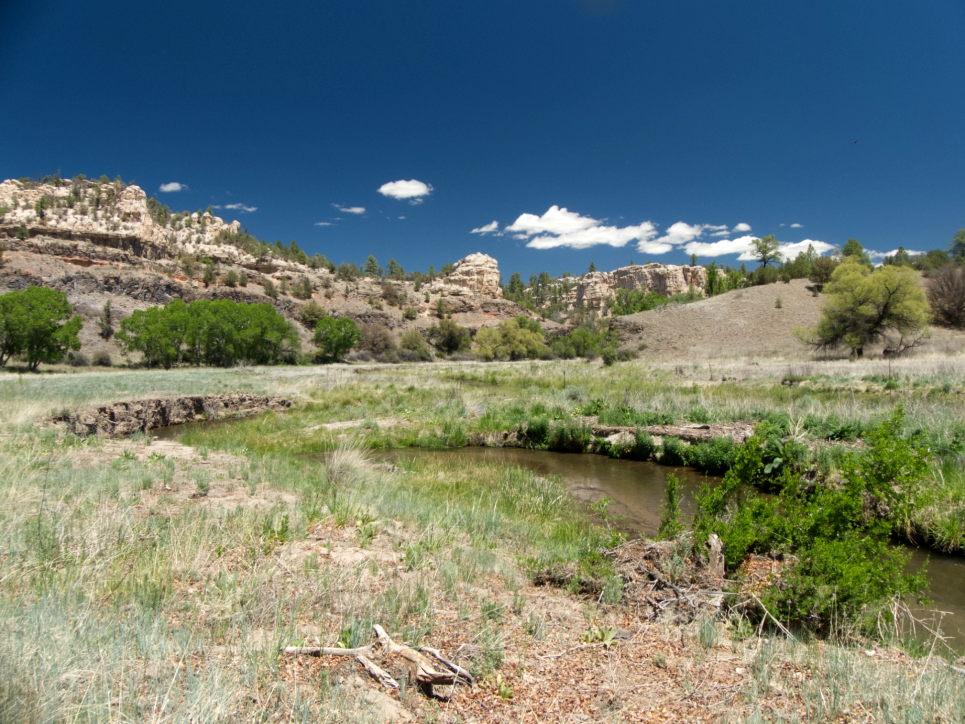
McKnight Canyon with Gila Trails
May 27-29, 2026
McKnight is the jewel of the Mimbres River Valley! The area was torched by the Silver Fire of 2013, and then again when the Black Fire in 2022. But while the sides of the canyon are charred toothpicks, the valley floor is remarkably intact.
-
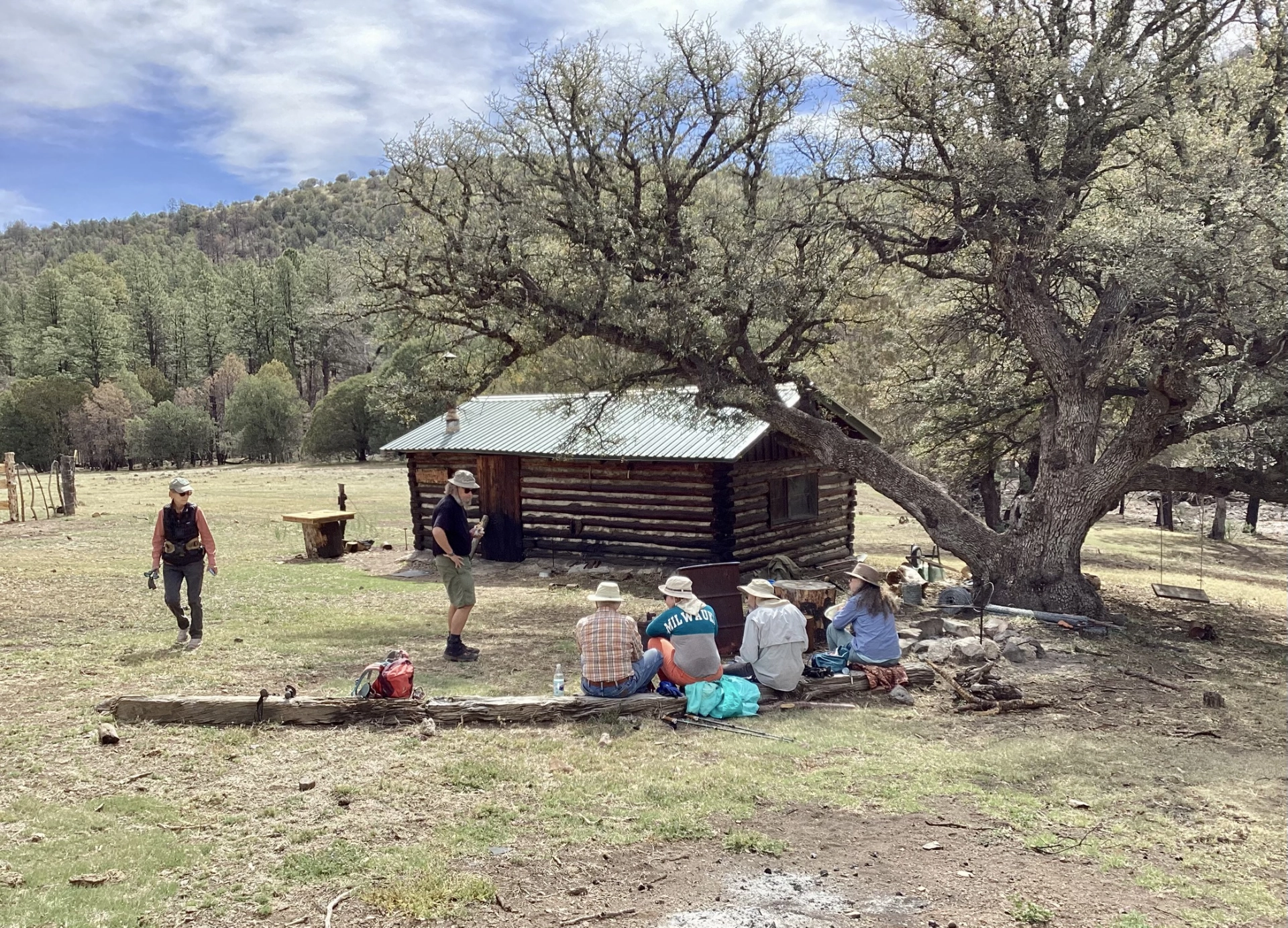
Middle Fork to East Fork Gila River
May 13-15, 2026
An off-the-beaten adventure in the Gila Wilderness. We hiked up the Middle Fork, across North Mesa, then dropped into Adobe Canyon and followed it to the East Fork Gila River.
-
Restoring the East Railroad Canyon Trail
May 8-10, 2026
A work trip to help restore the East Raiload Canyon Trail taught me some important lessons: 1) stay hydrated 2) electolytes are a thing 3) your gps only works if you look at it!
-
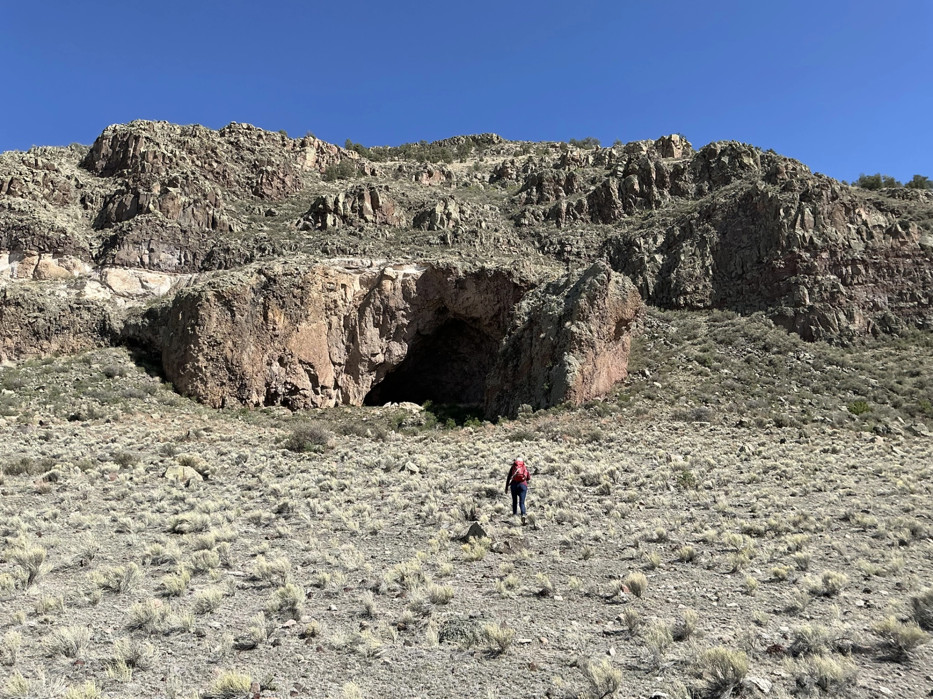
Beyond the Bat Cave
April 26-29, 2026
After years of trying, I finally figured out how to get to "Bat Cave", a major archaeological site on the jagged northern edge of the Mogollon Datil volcanic field.
-
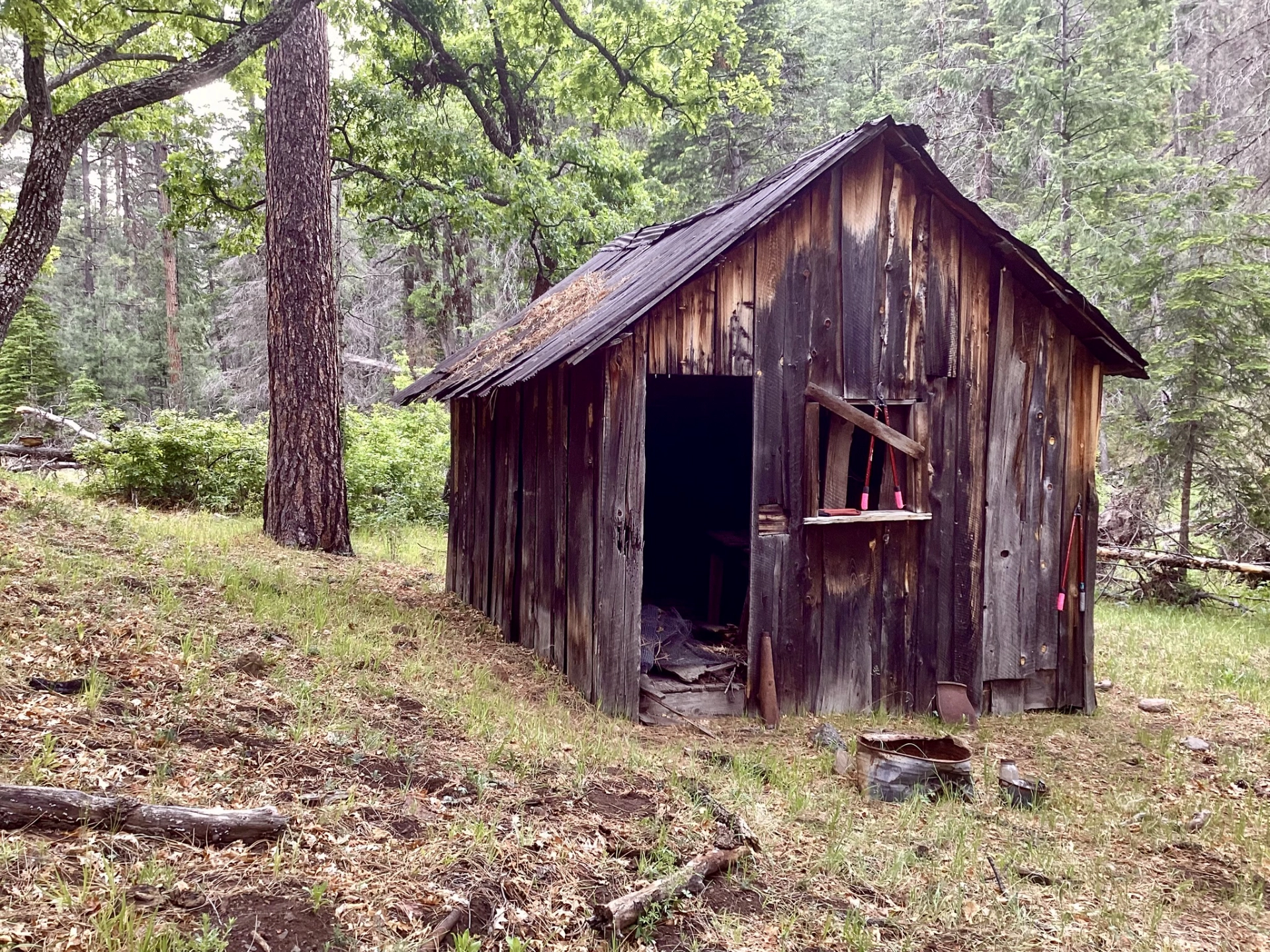
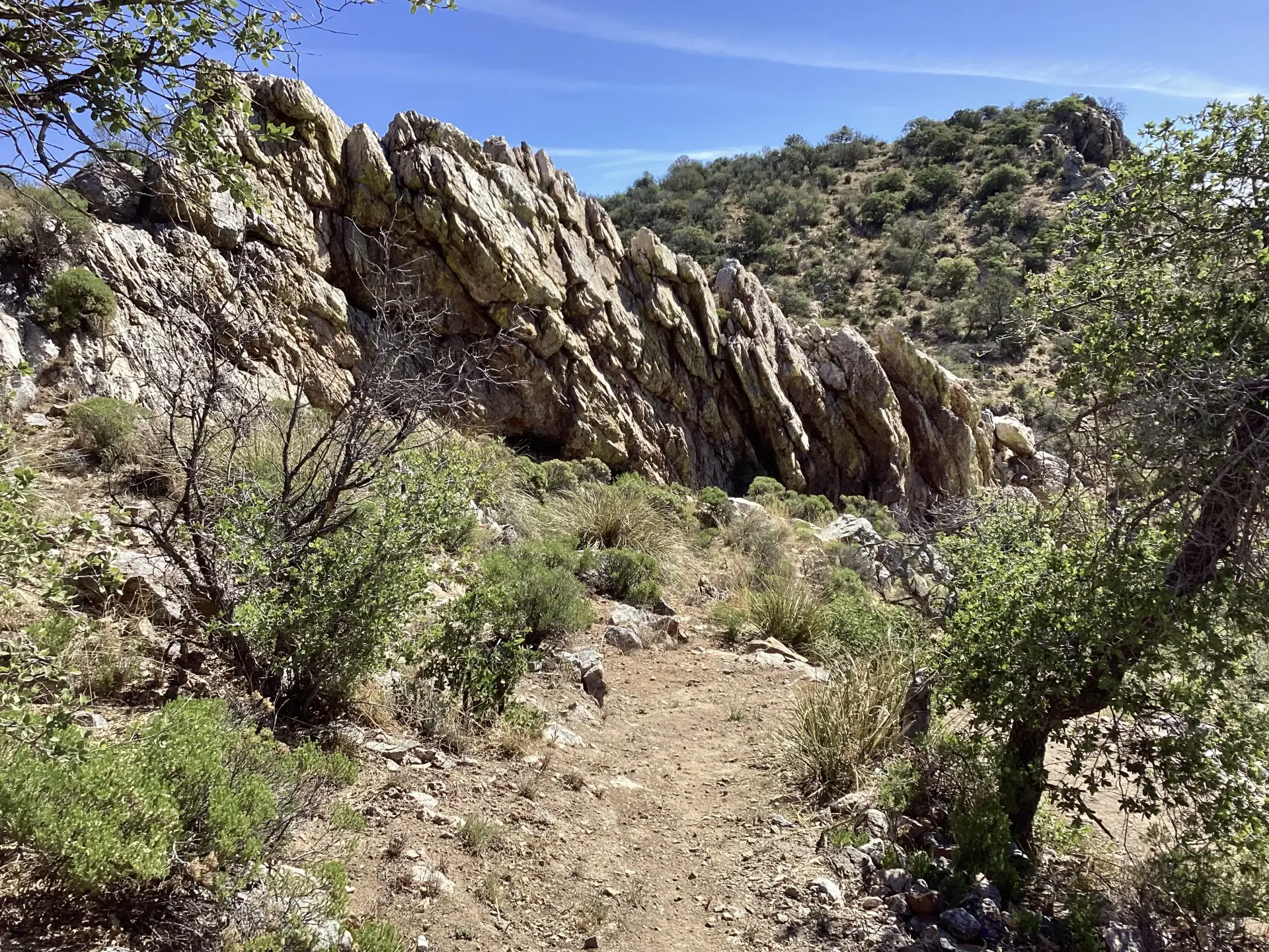
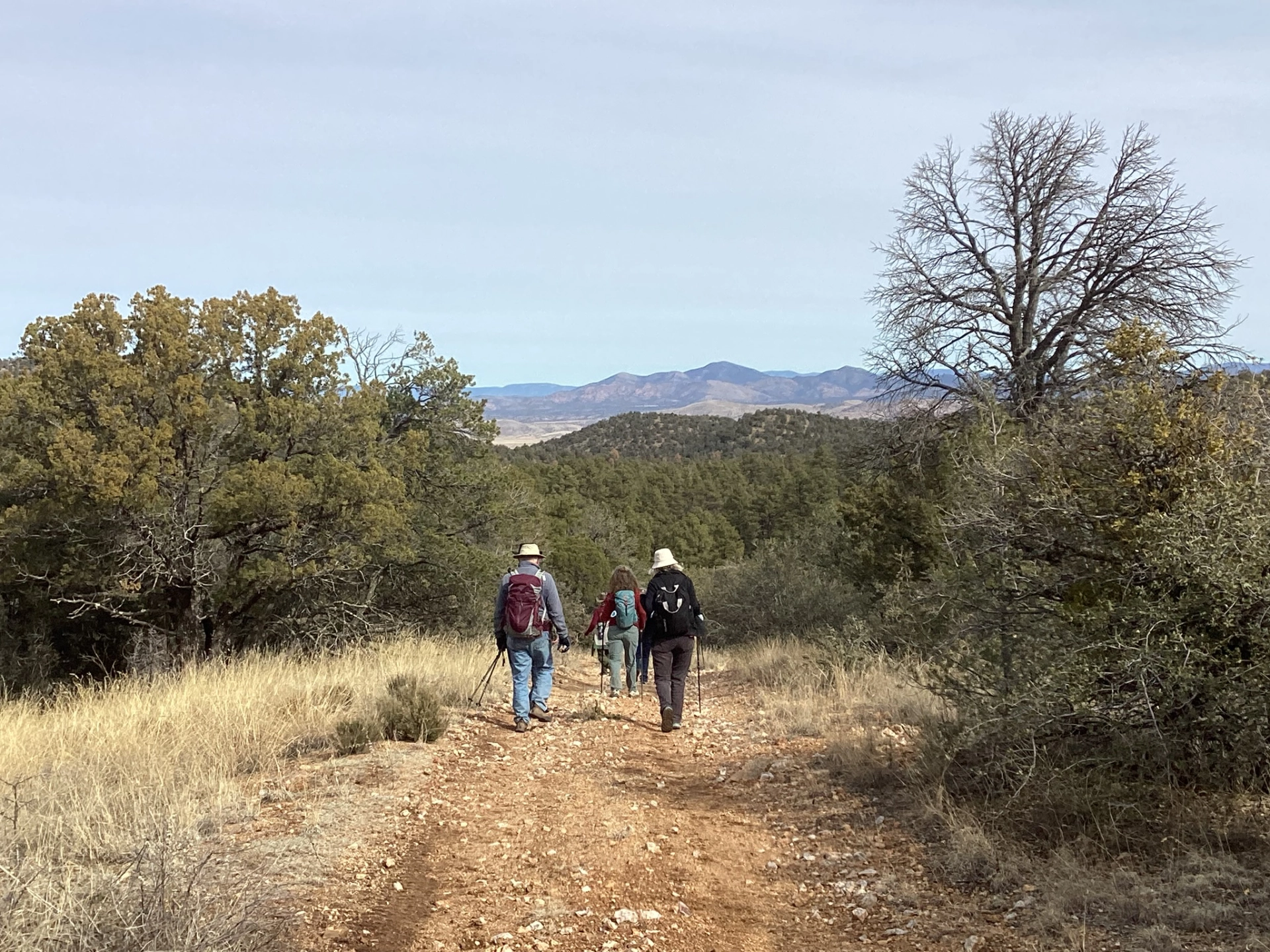
Neglected Mine Trail
April 23, 2026
Earlier this year New Mexico Volunteers for the Outdoors partnered with the CDT Coalition to reroute two miles of the CDT near Jack's Peak in the Burro Mountains south of Silver City. You can combine the old and new trails for a surprisingly thrilling four-mile loop.
-
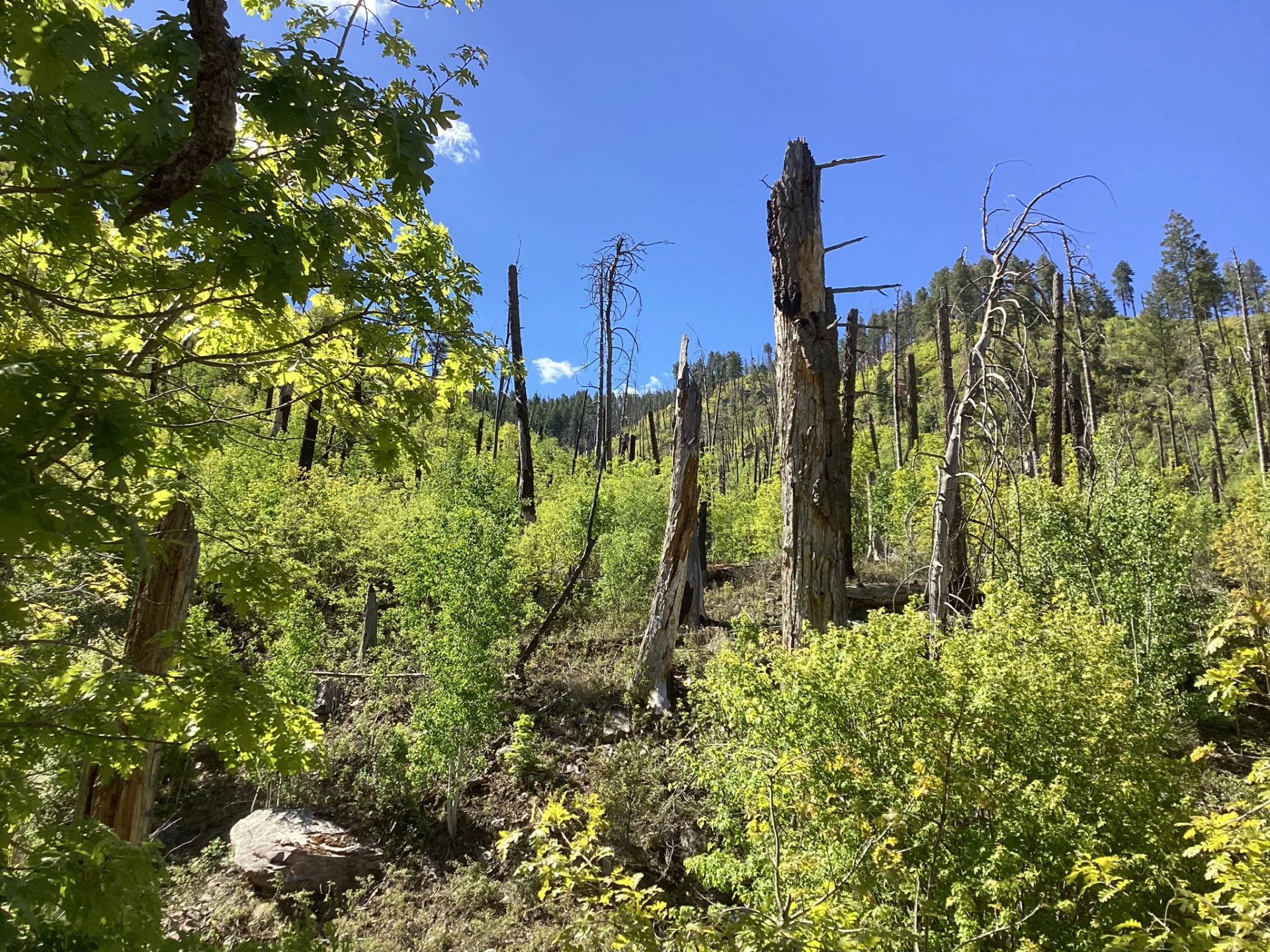
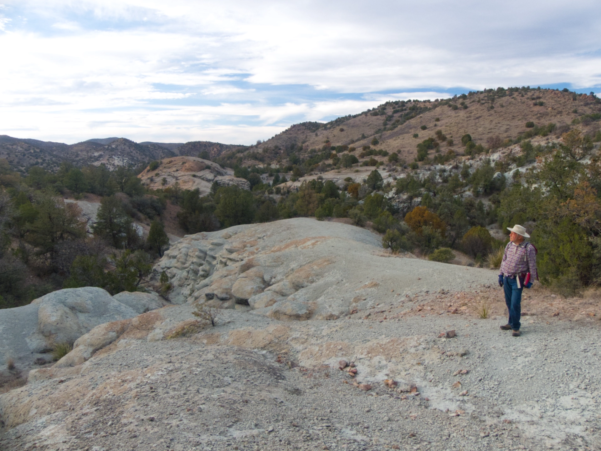
After the Trout Fire
April, 2026
The Trout Fire of 2025 burned more than 47,000 acres near Silver City in an area that is home to some of our most popular and accessible hiking trails. Now that a full year has passed, we've been gingerly exploring some of our old haunts.
-
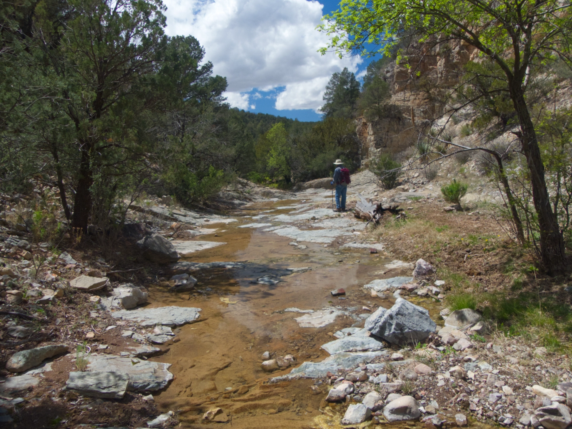
Just Another Rocky Creek in the Gila
April 14-15, 2026
Lately I've been busier than a long-tailed cat in a room full of rocking chairs. When there was an unexpected break in the action, Dennis and I slipped away to a rocky creek in the Gila for a quick overnight.
-
Red Canyon
March 19 - 22, 2026
It's been three years since Dennis and I tried in vain to find the trail that drops into Mineral Creek below the ghost town of Claremont, high in the Mogollon Mountains. We returned this spring with the Gila Trails crew to help restore the missing trail.
-
Camping in the Burros
March 14 - 17, 2026
There's a spot in the Burro Mountains with a wide grassy meadow, and some curious bubbly blue rock formations. We've been talking about camping there for years!
-
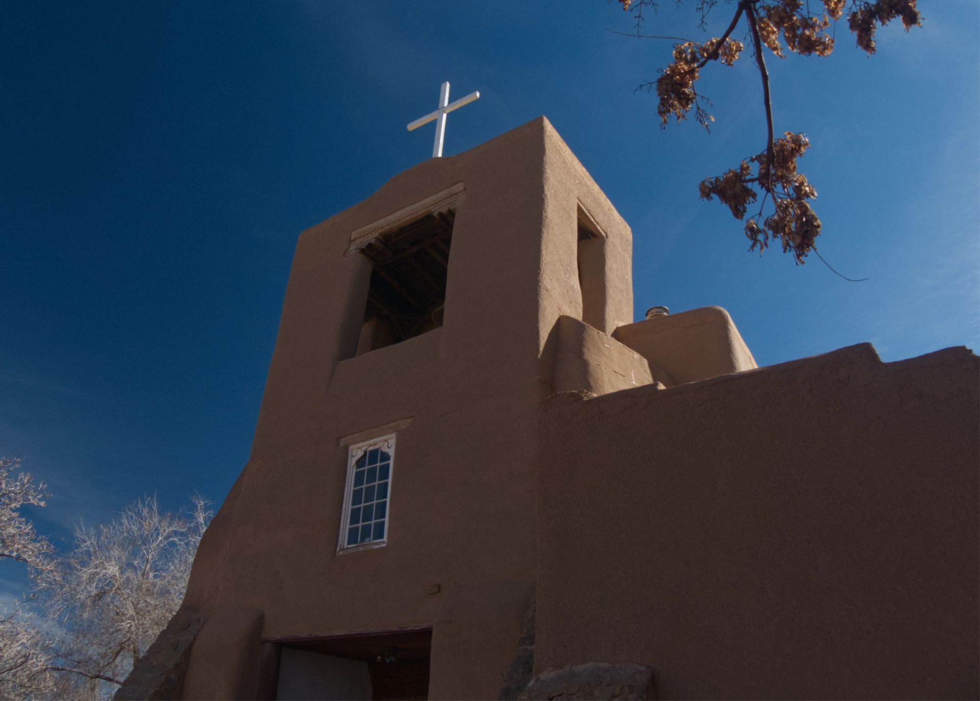
Walking My Feet Off in Old Santa Fe
February 27 - March 1, 2026
I walked almost non-stop for seven hours, fueled by nothing but coffee, a bowl of soup, and boundless enthusiasm, searching for the Santa Fe of Willa Cather and Archbishop Lamy. Instead I found ... art!
-
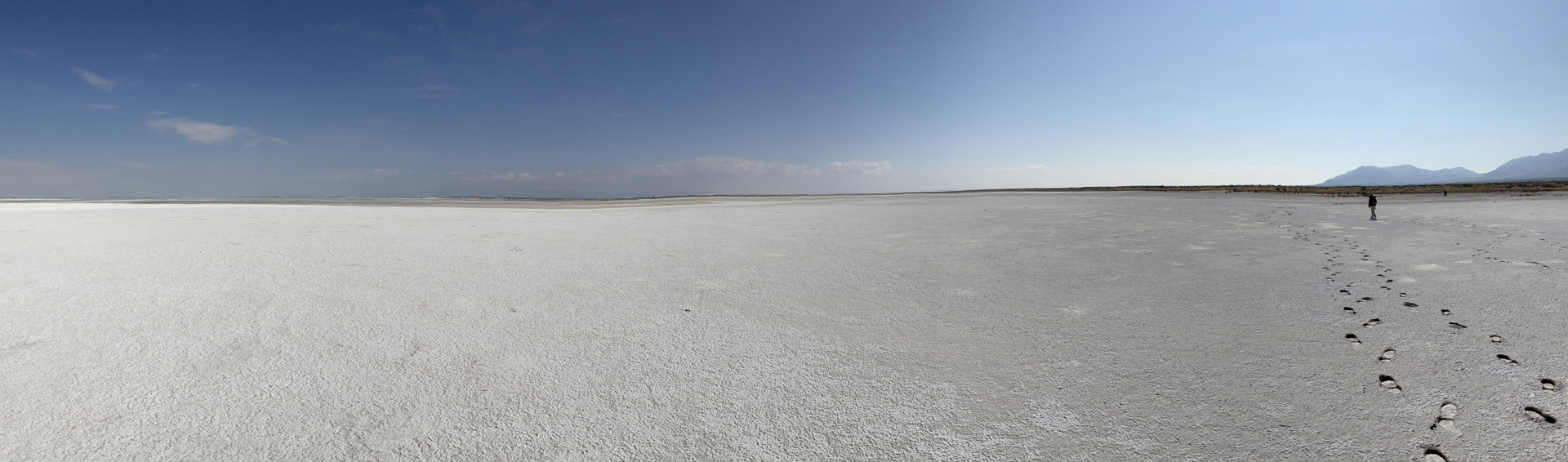
Going to the Dogs (Canyons)
February 5 - 11, 2026
A romp across Otero Basin and the Salt Basin Dunes, from Dog Canyon in the Guadalupe Mountains to Dog Canyon in the Sacramento Mountains.

-
Maverick Canyon/Willow Creek
January 29, 2026
I don't know why I continue to be surprised that there is fabulous hiking in the Burro Mountains! Although it's drier and generally lower in elevation than the Gila Wilderness, this area is home to sculptured canyons traversed by ephermeral creeks and open ridges with see-forever views.
-
Ice / Skates
January 15, 2026
We hesitated to return to Skates Canyon. It's one of our favorite hikes, but we knew this area was hit hard by the Trout Fire of 2025. Would the slot be full of burnt timbers? Would it be washed out by post-fire floods?