The Magdalenas
July 26-30, 2024
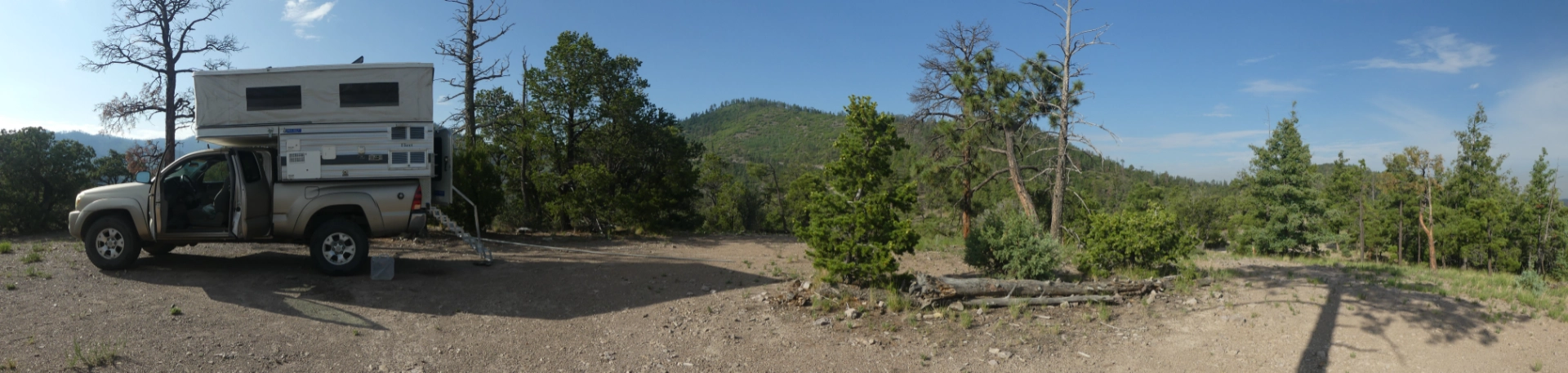
Magdalena has long been one of my favorite New Mexico mountains towns. We always dally there when we're in the area, visiting the Boxcar Museum, Evett's Cafe (when it's open) and the Market Place. I briefly fantasized about moving there (but I'm glad we chose Silver City instead). We spent some time in the area a few years ago, on our first trip with the RV. We camped at Water Canyon campground, did a few hikes in the area, and learned that there were some intriguing trails higher up the mountain, via a rough road that provides access to the Langsmuir Laboratory for Atmospheric Research and the Magdalena Ridge Observatory. So when it was time to take a high elevation break from a solid month of working in the heat to complete our our new porch and prepare for the mini-split DIY installation, we headed for the Magdalena Mountains.
I don't know if the access to South Baldy Mountain is the steepest, roughest, snakiest rough we've ever driven, but it's a contender! And there was nary a campsite to be found — barely even any pull-offs — until we scored the perfect spot near the top at 10,200'.
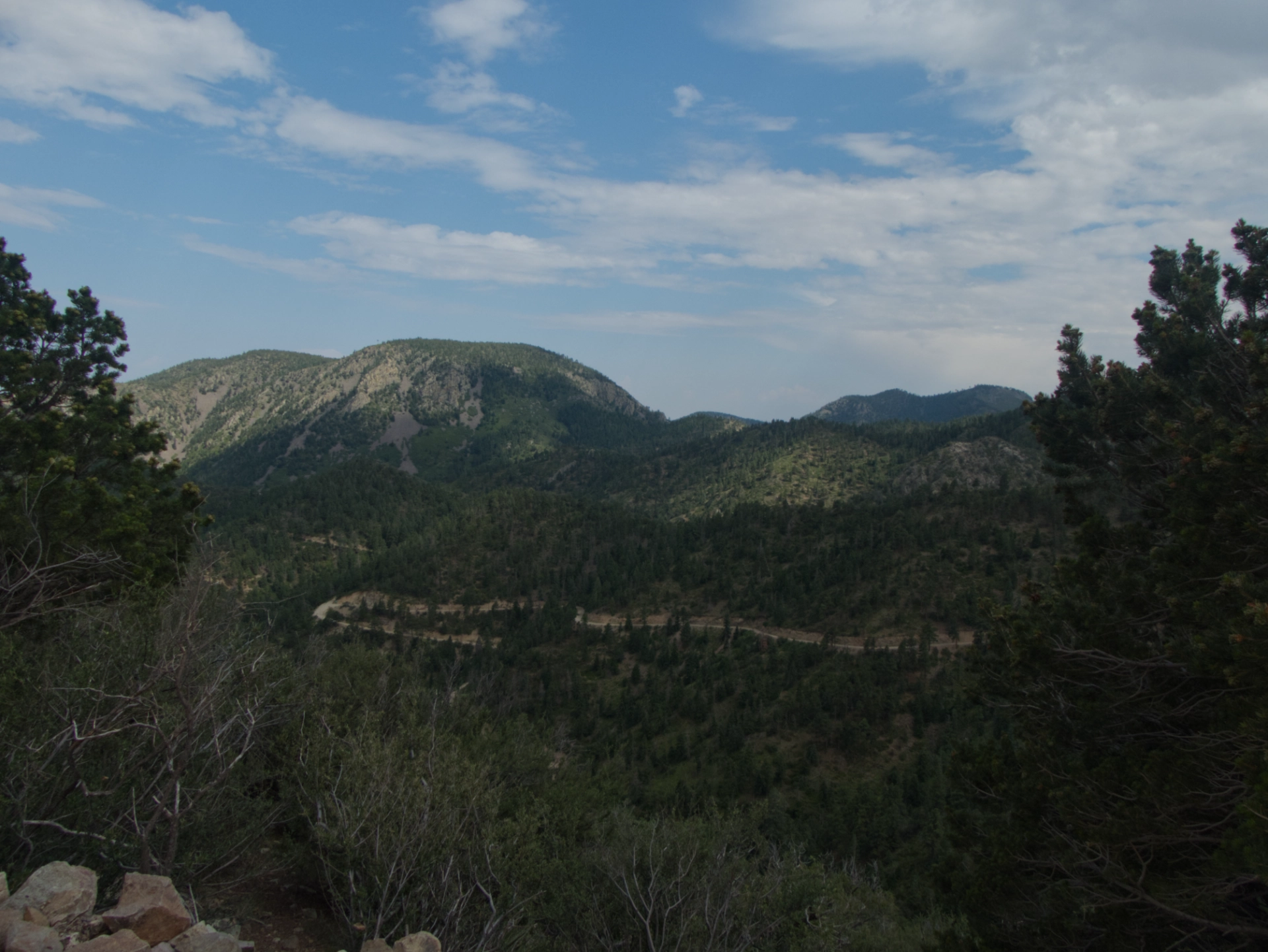
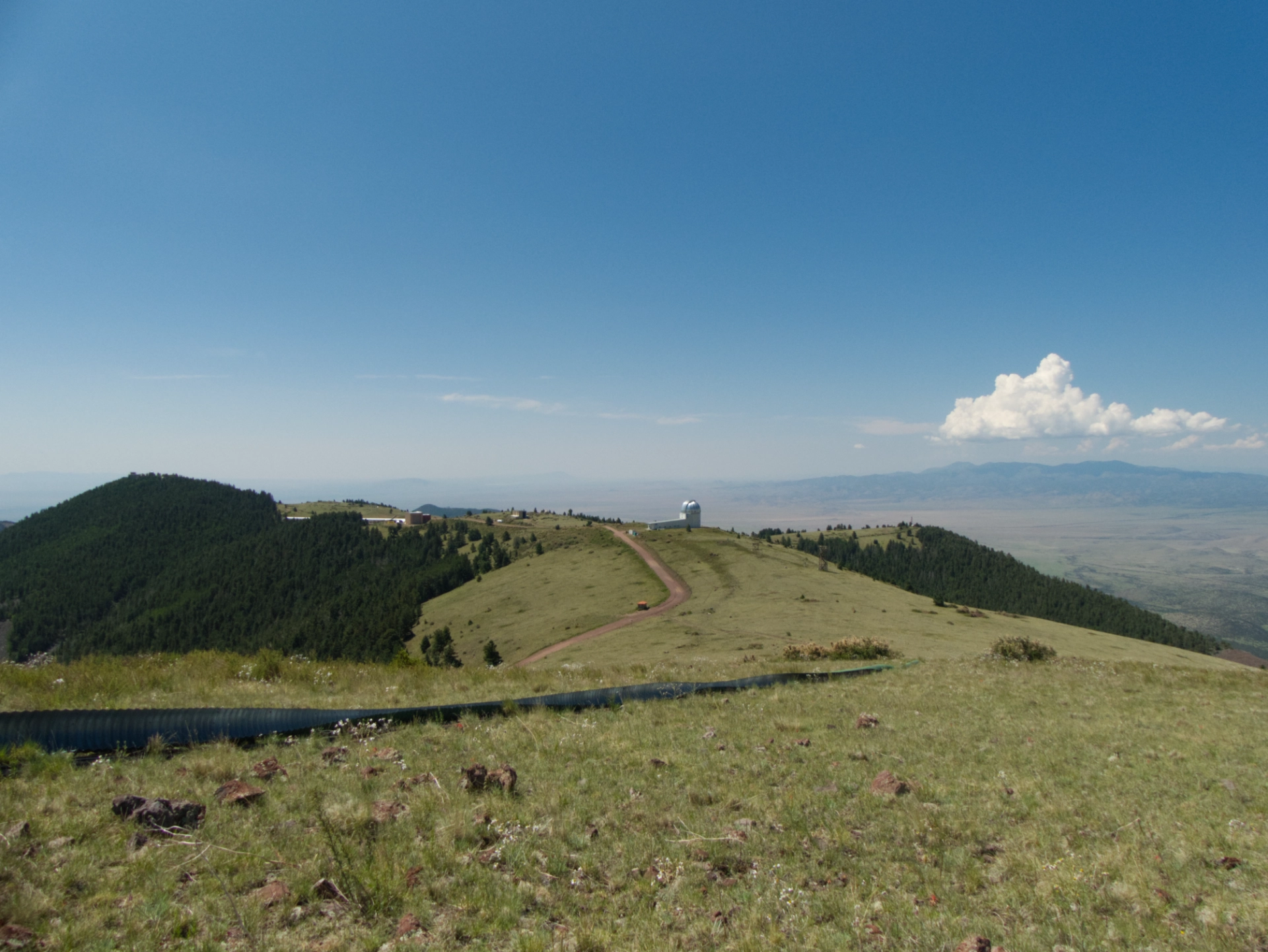
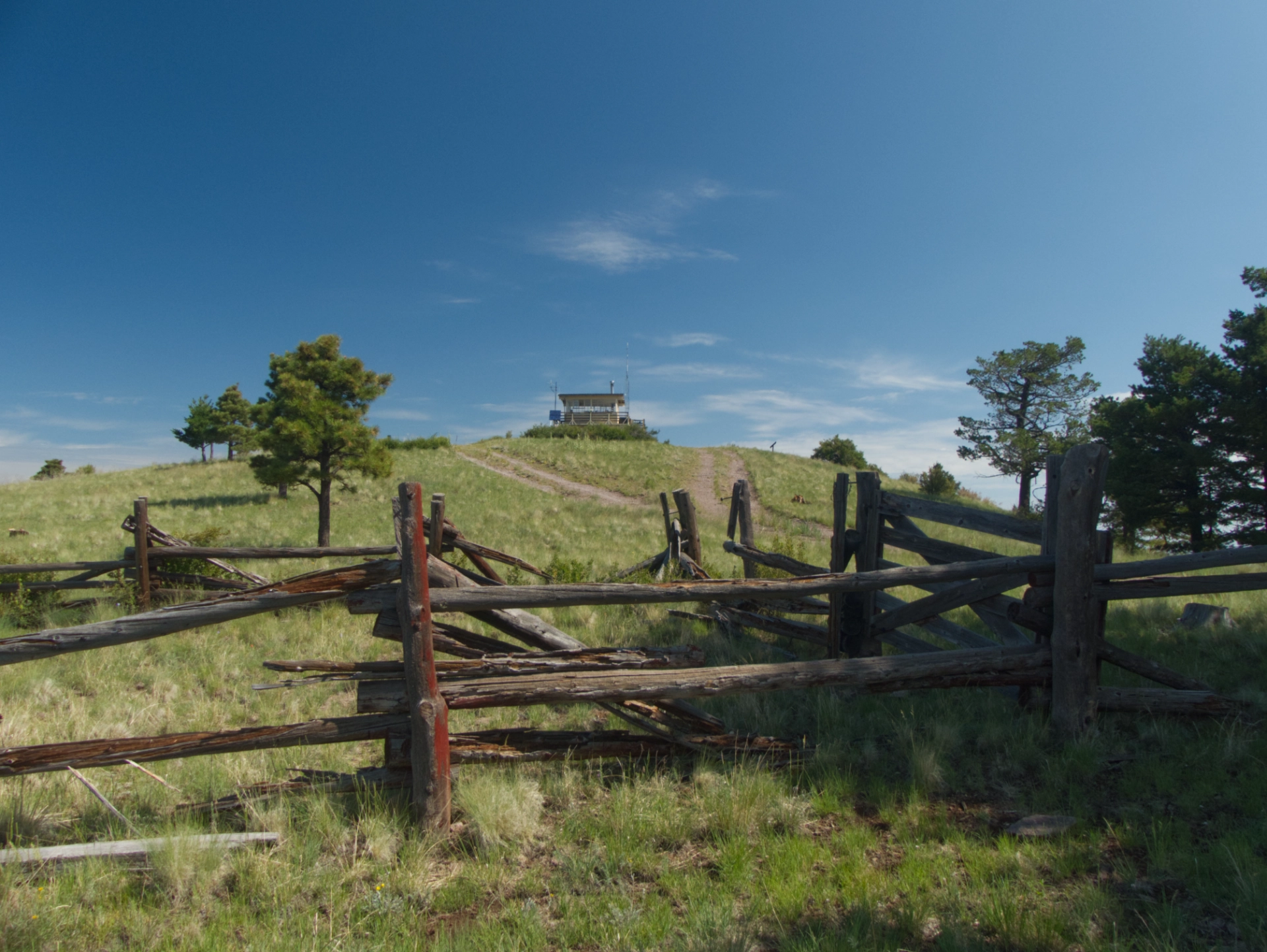
Overnight it rained for four hours straight. We wondered if there would be anything left of the rough gravel road by morning. But never mind, if the road washed out we were stuck until at least Monday morning, and there were many trails to explore. Leaving camp. The silver dome of the Magdalena Ridge Observatory is glowing nicely in the distance.
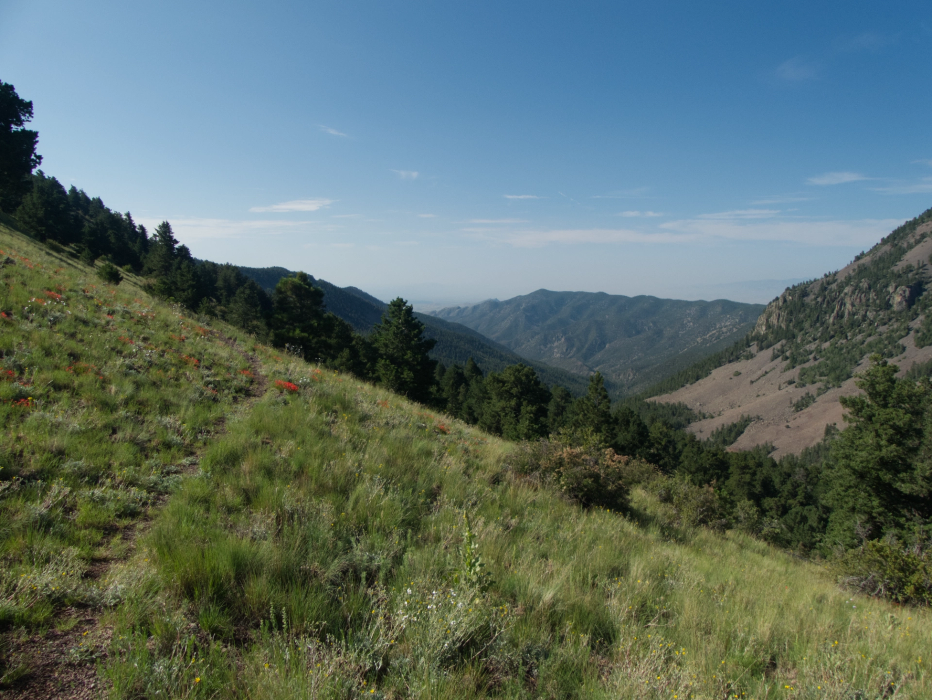
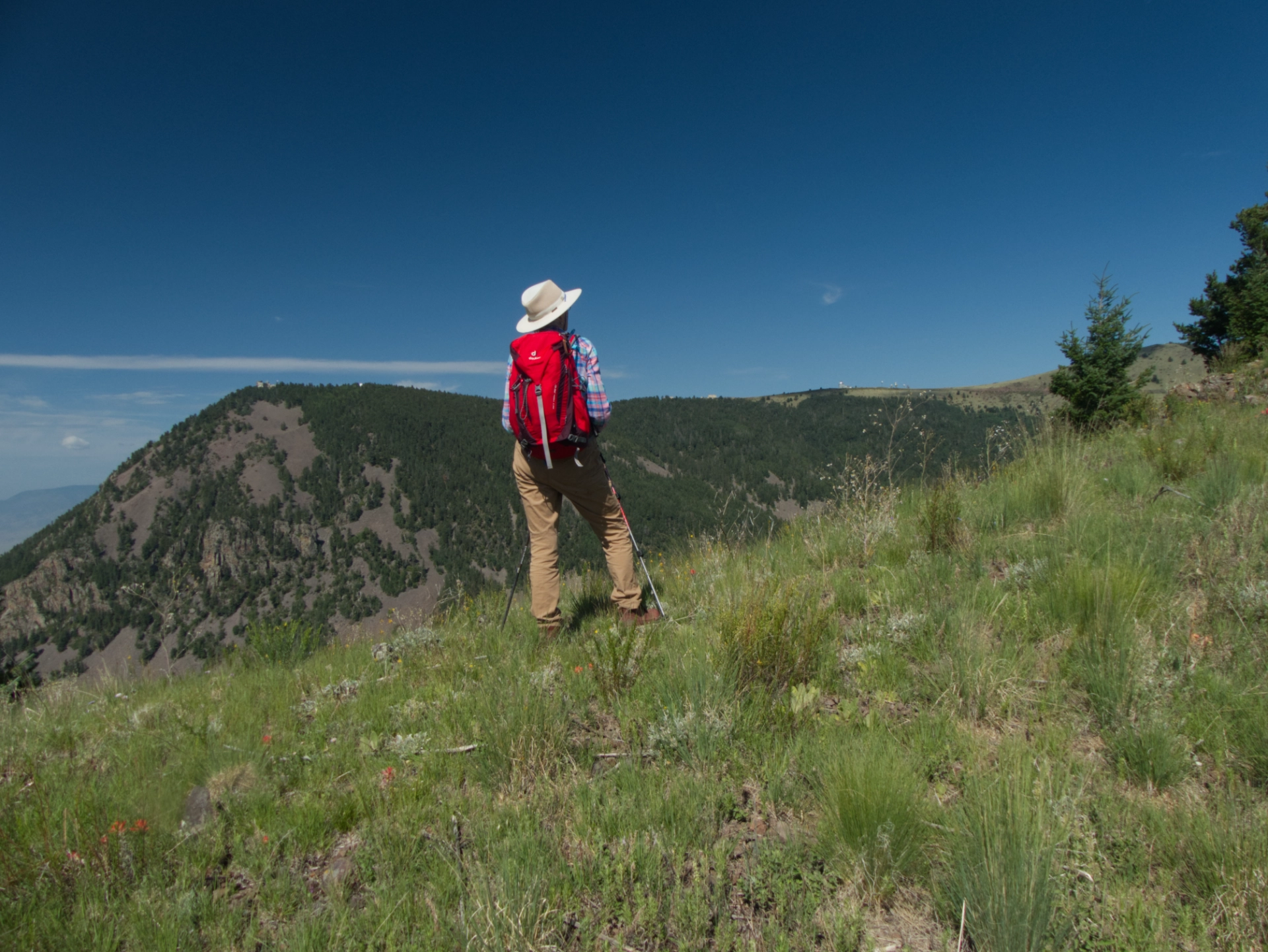
Our first objective was the North Baldy Trail, which is an absolute gem. It starts by switchbacking downhill through a dark and dense Douglas fir forest, and then pops out on a ridge with stellar views of Socorro Peak, North Baldy and the Magdalena Valley.
I am dumbfounded that from all appearances, the trail receives very little traffic.
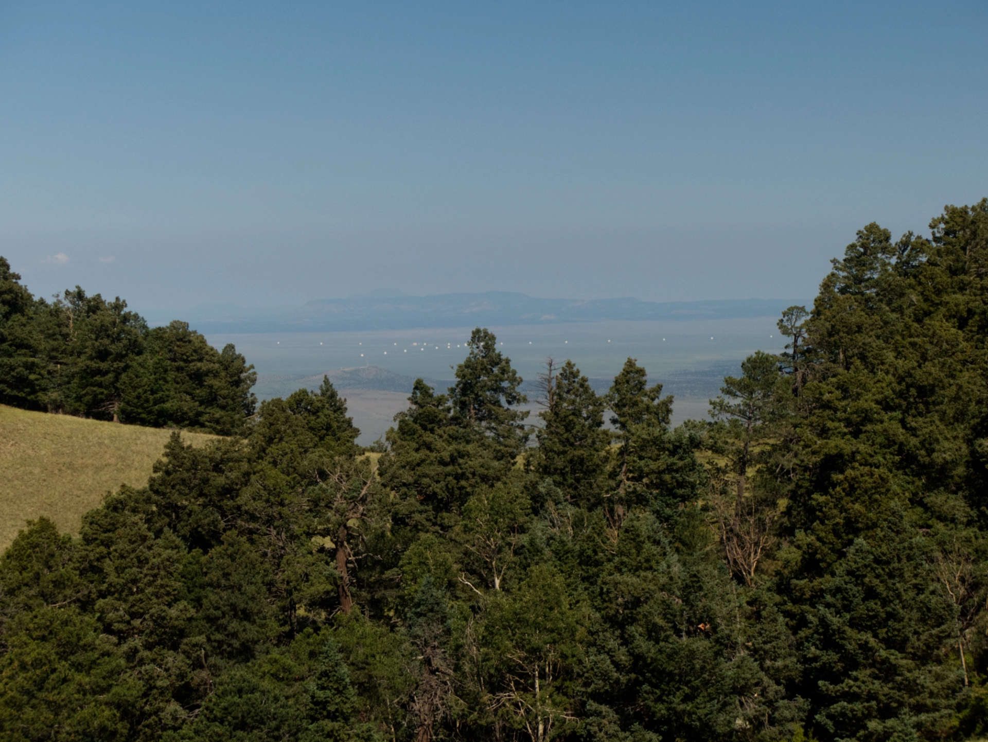
The VLA dishes show up nicely when they are rotated toward the east.
Looking north toward an unnamed peak along the ridge between South and North Baldy.
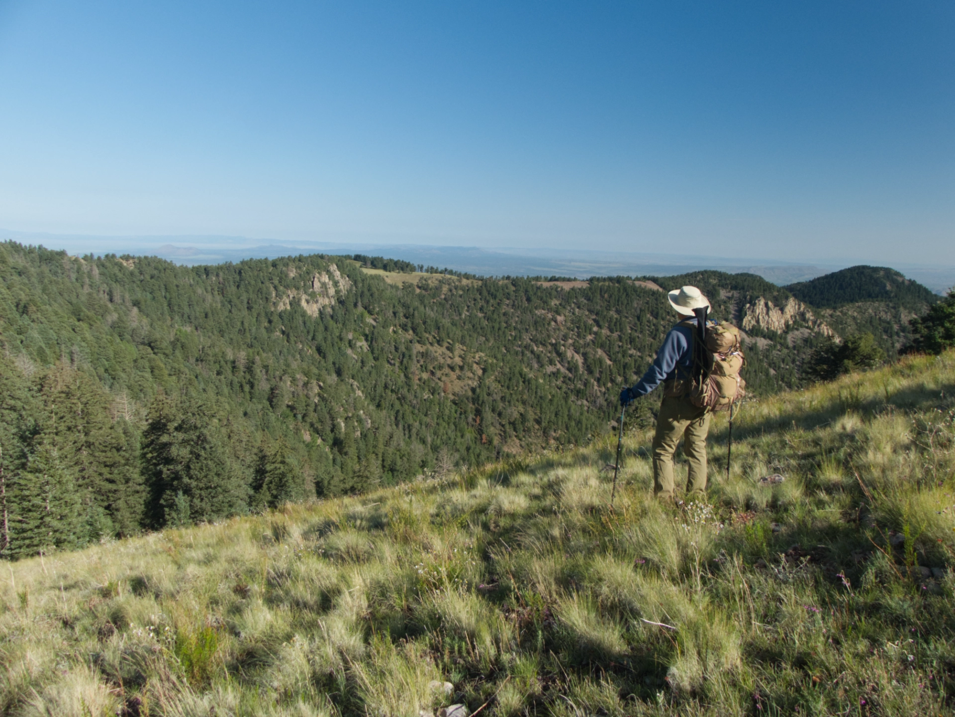
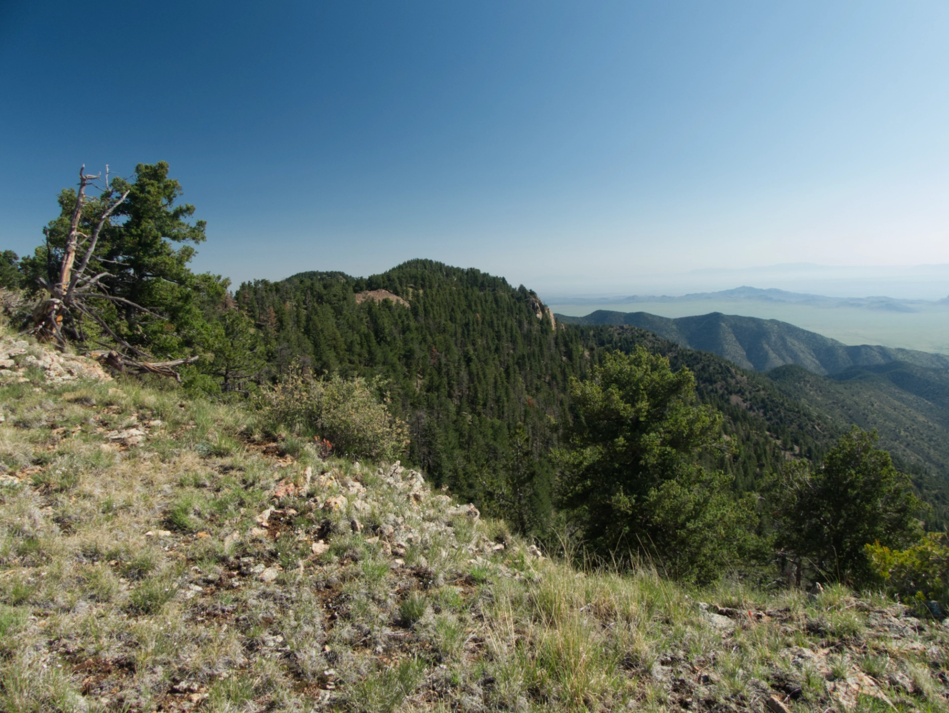
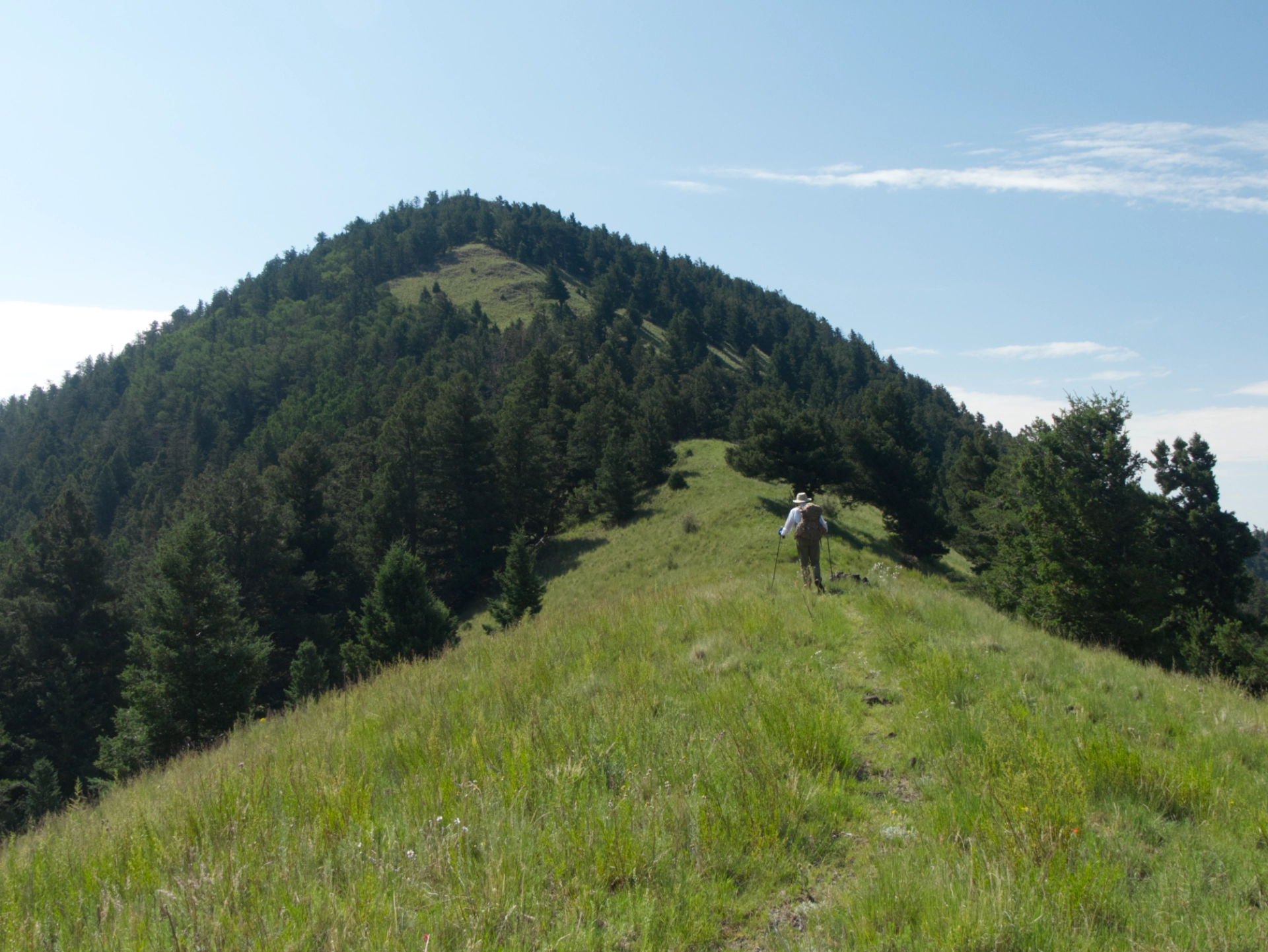
Bushwhacking up the far side of South Baldy, and looking back at the ridge we just hiked.
It was steep as Hell, and we were chuffing like a steam locomotive!
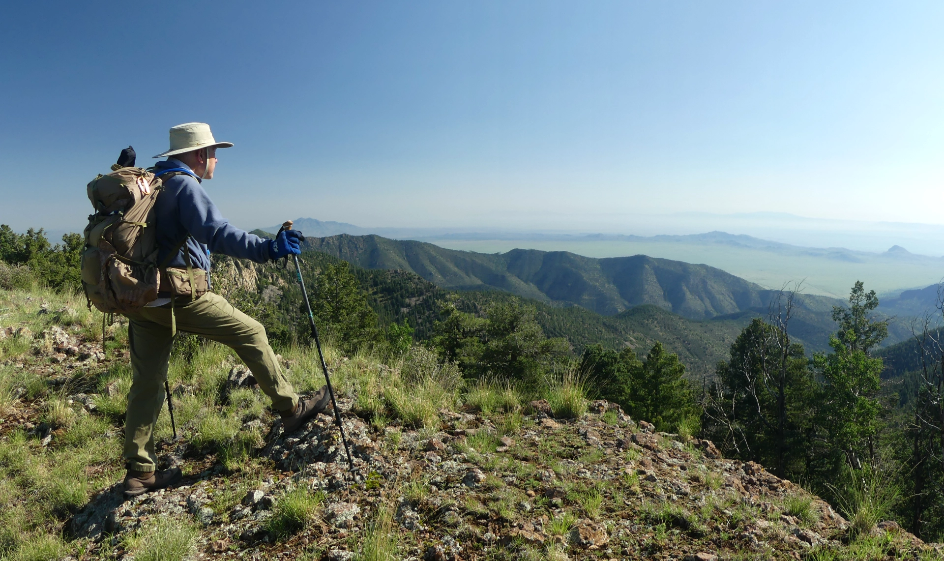
View from the summit of South Baldy, elevation 10,783.
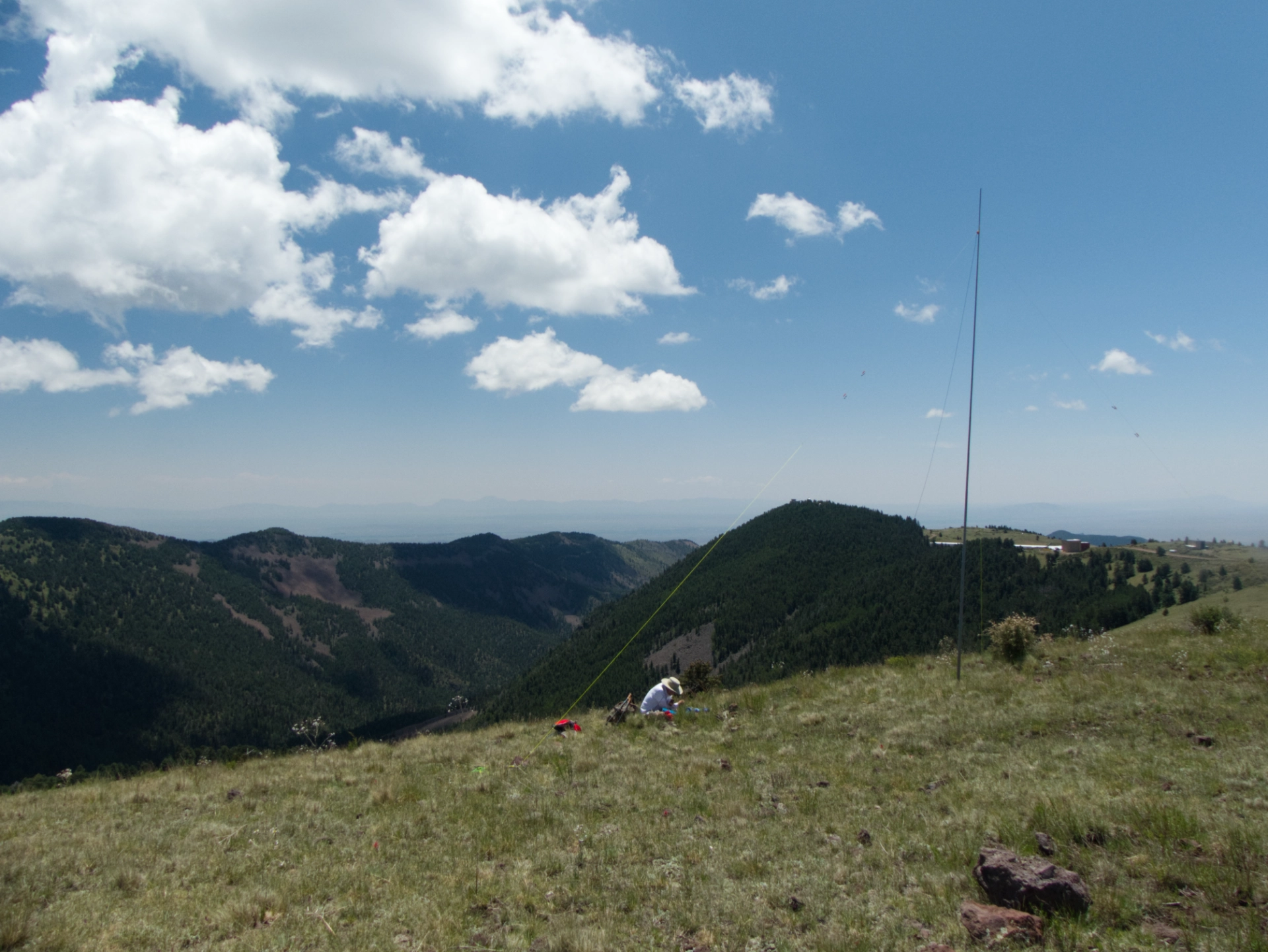
Dennis set up his KX3 and telescoping fiberglas three-band dipole, and made the requisite four contacts for SOTA (Summits on the Air). Ten points!
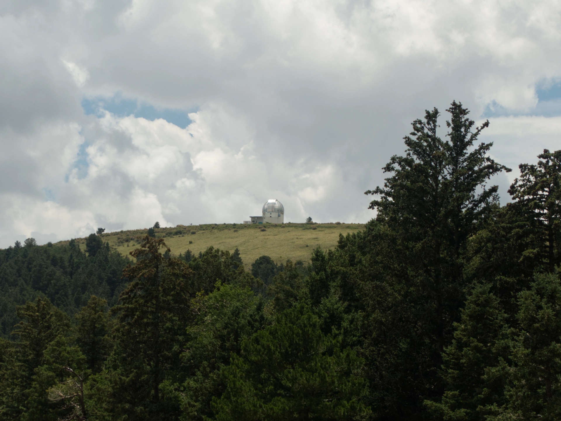
The Magdalena Ridge Observatory with its very shiny silver dome.
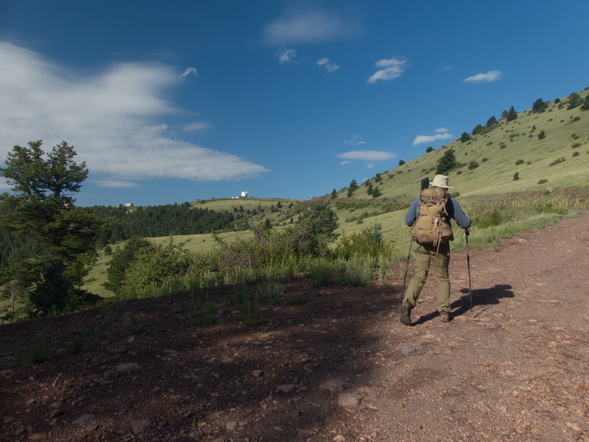
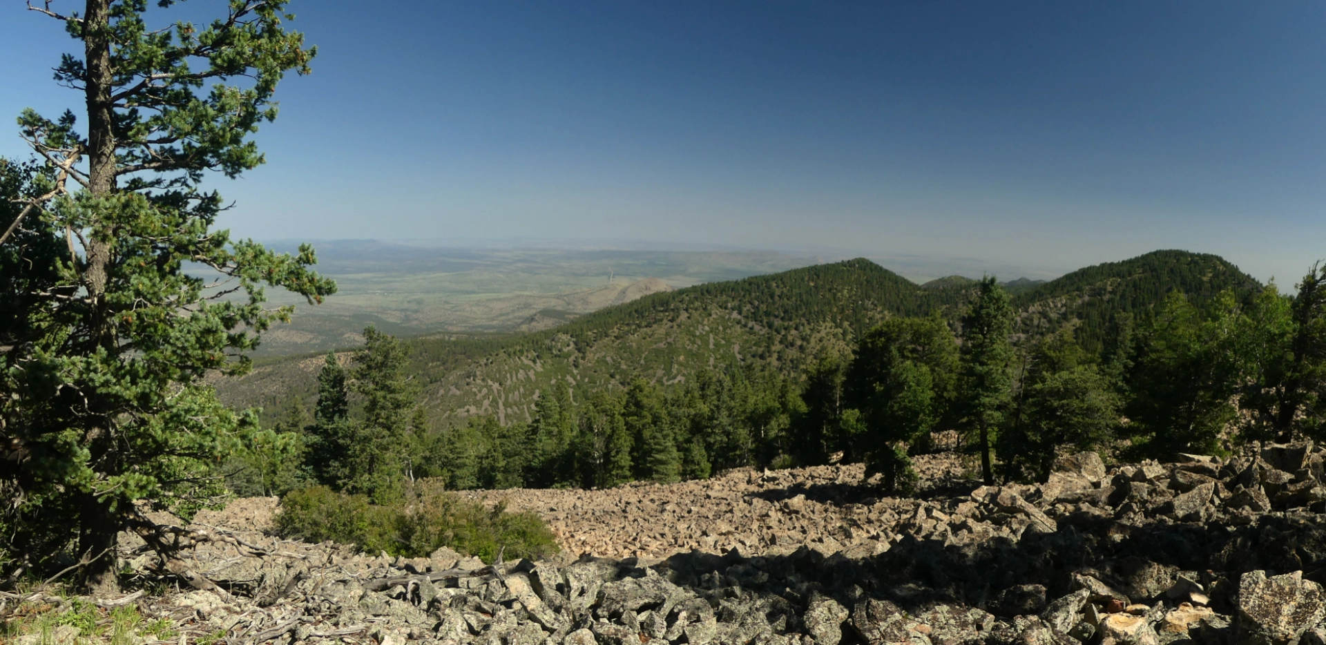
For our second hike, we chose Timber Peak, another excellent ridgeline trail.
On this day in late July the summer wildflowers were dazzling!
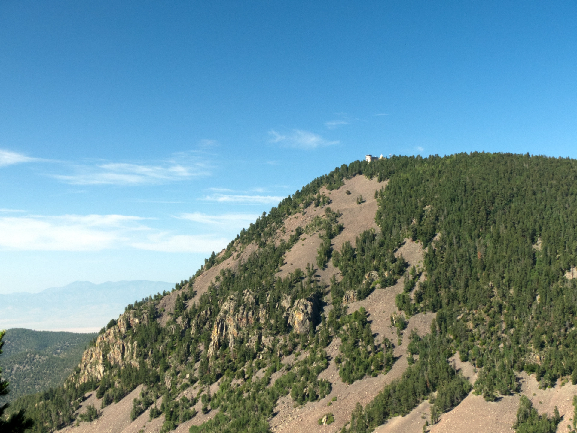
Langsmuir Laboratory. From a distance, it looks like a fancy resort or a monastery.
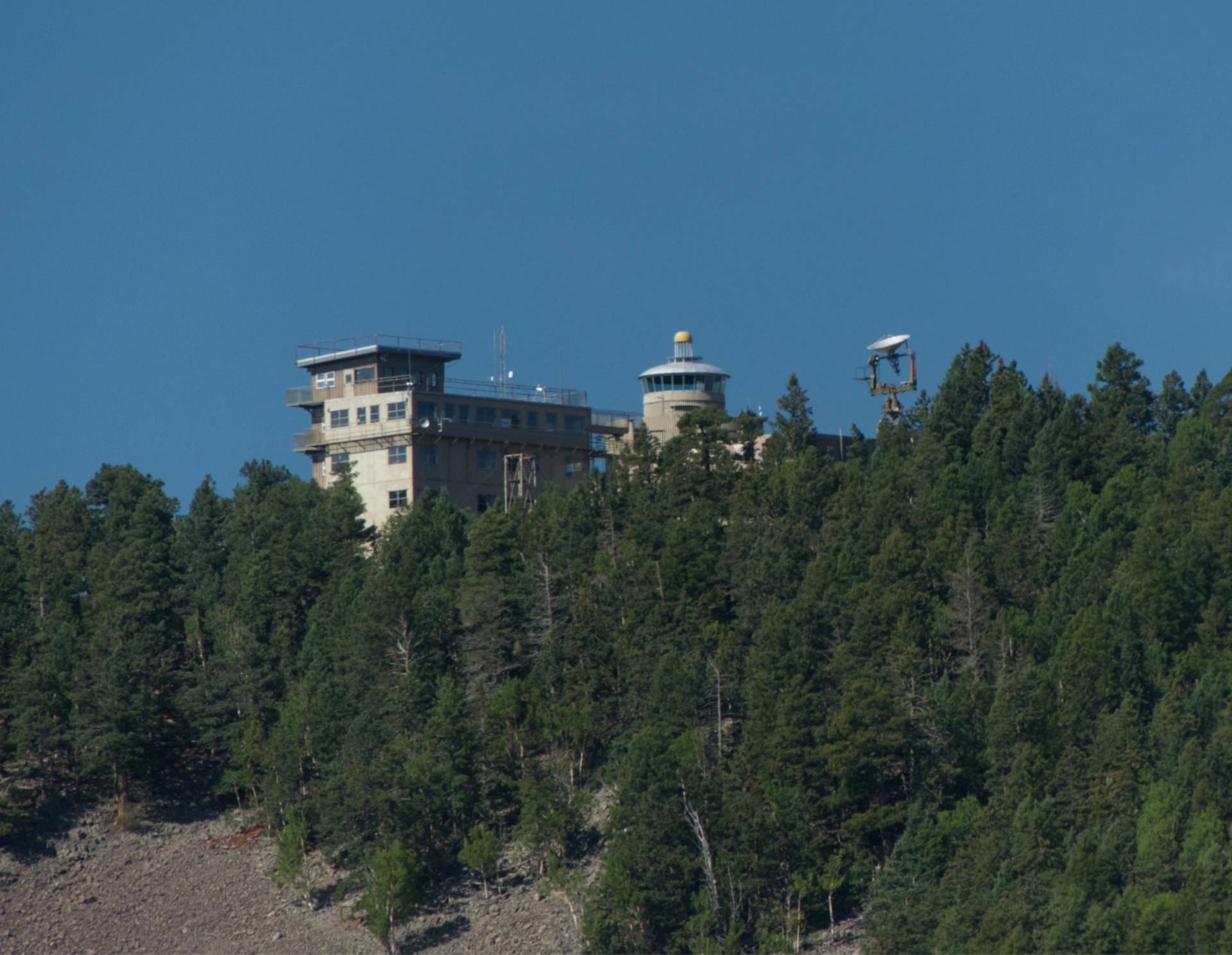
Zoomed it, it's a bit more utilitarian.
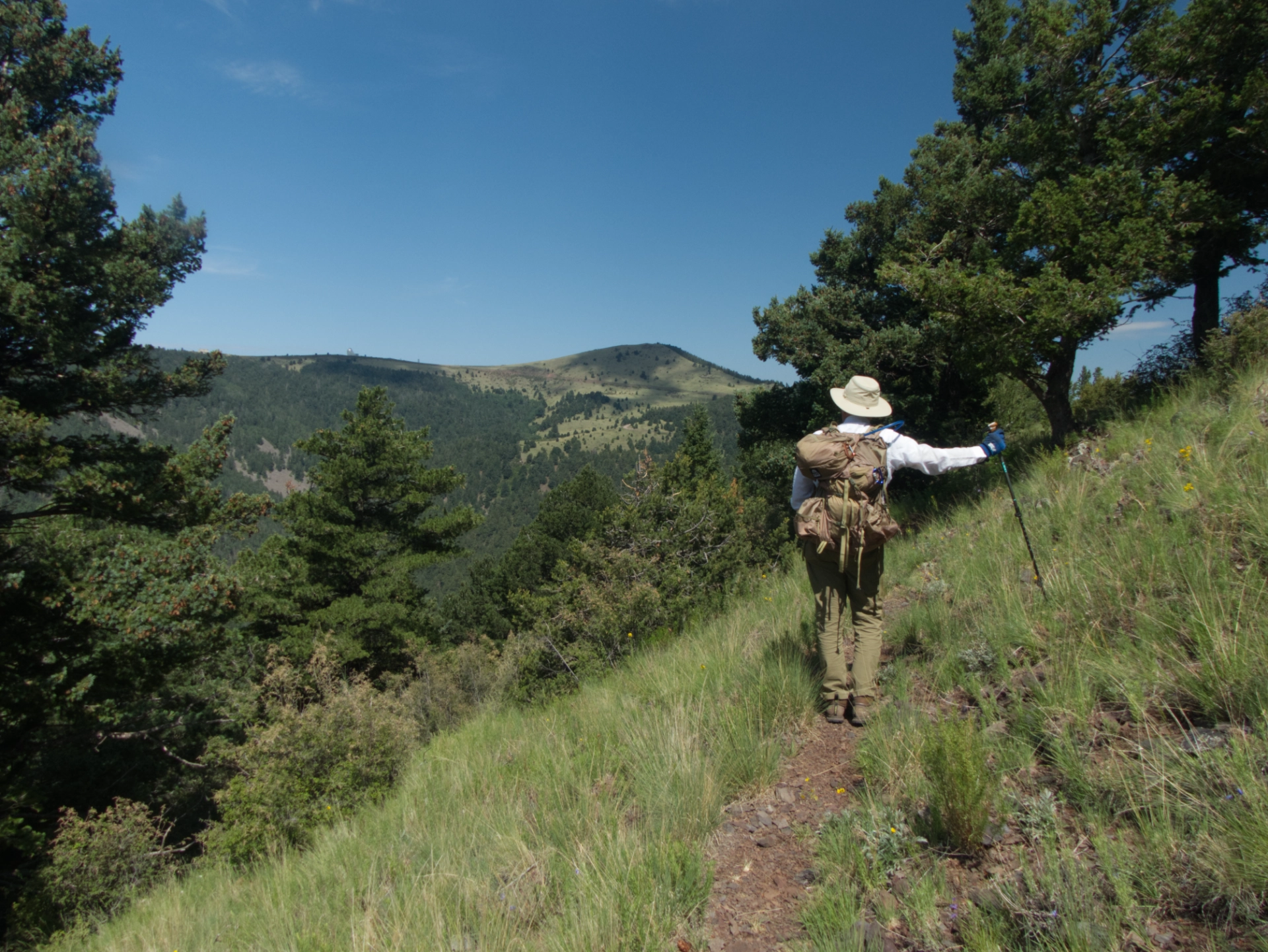
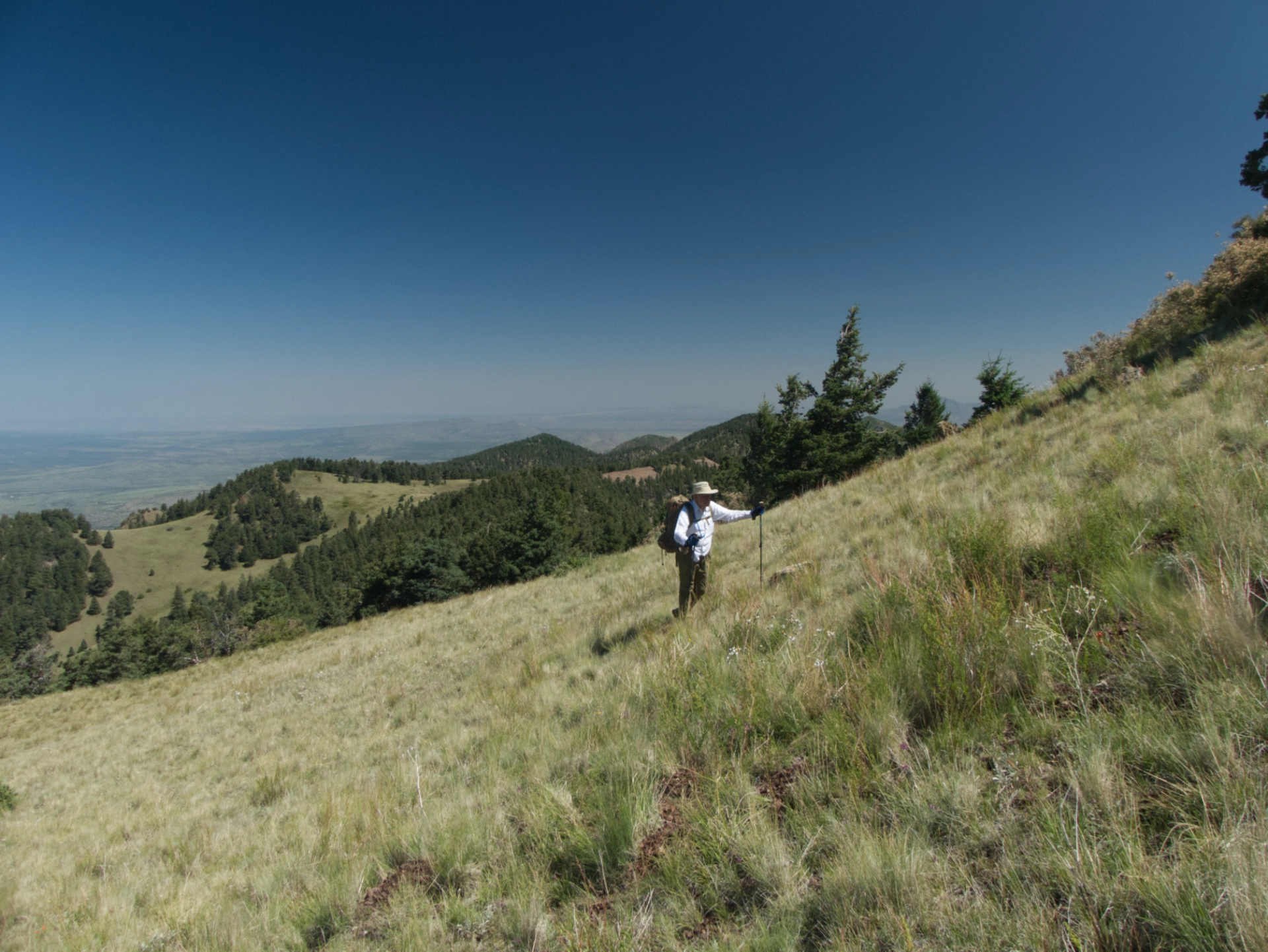
Looking back toward the summit of South Baldy.
Yes, it was really that green!
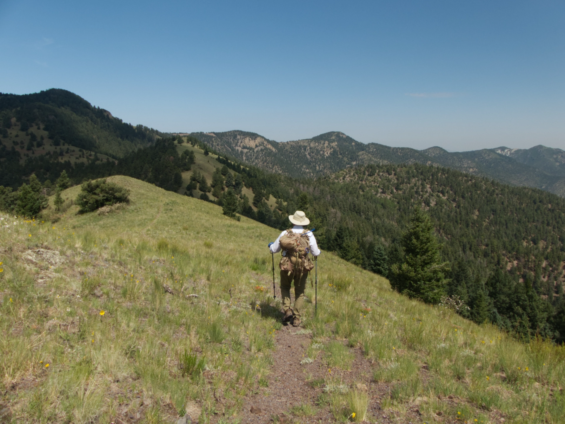
Here you can see the whole ridge, stretching from South to North Baldy.
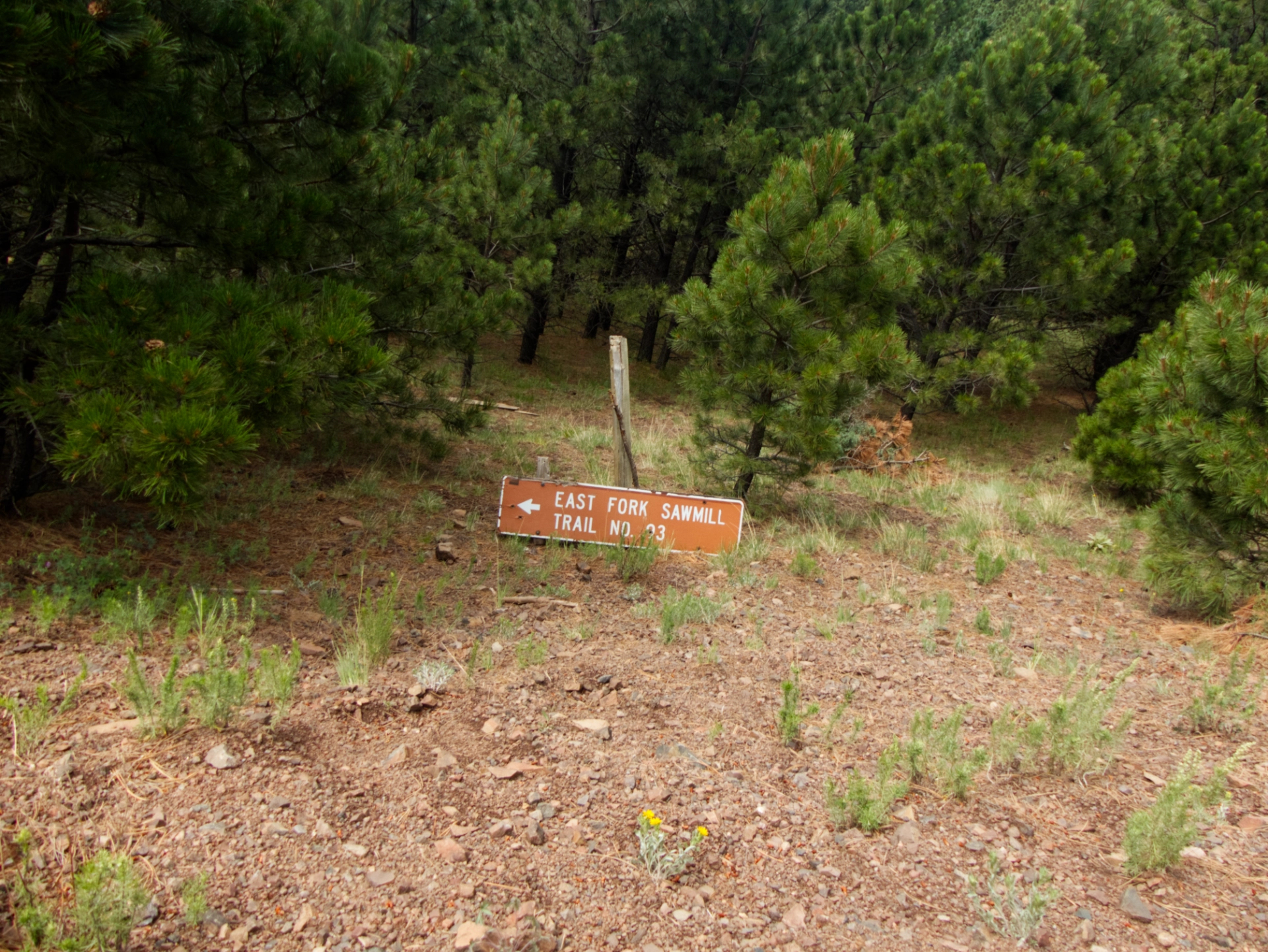
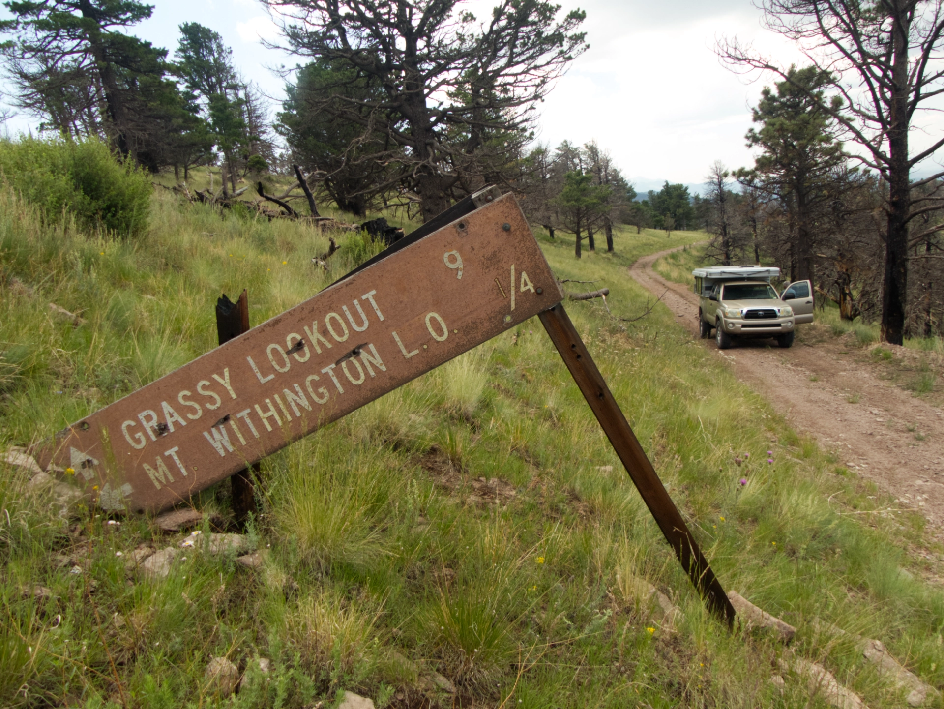
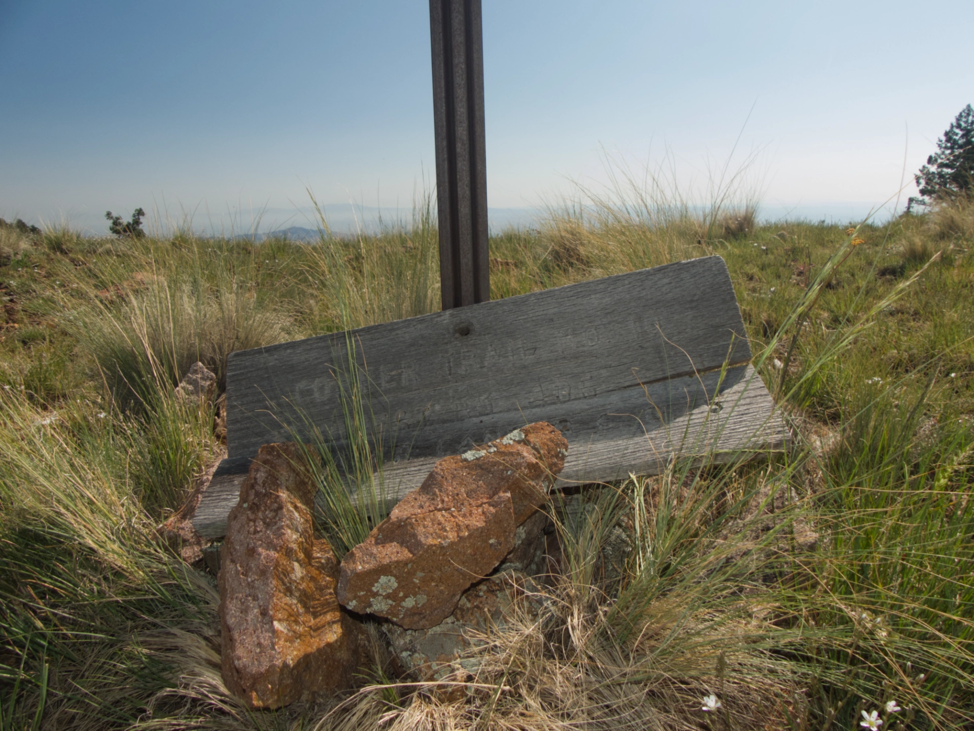
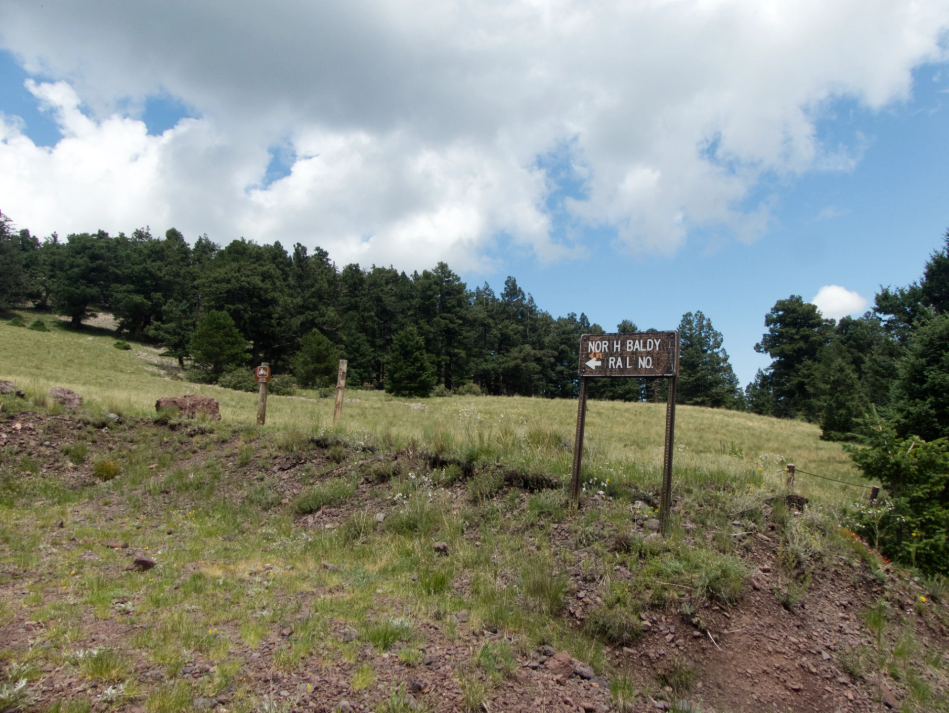
Show Me a Sign!
The local trailhead signage could use a little love!
MROI
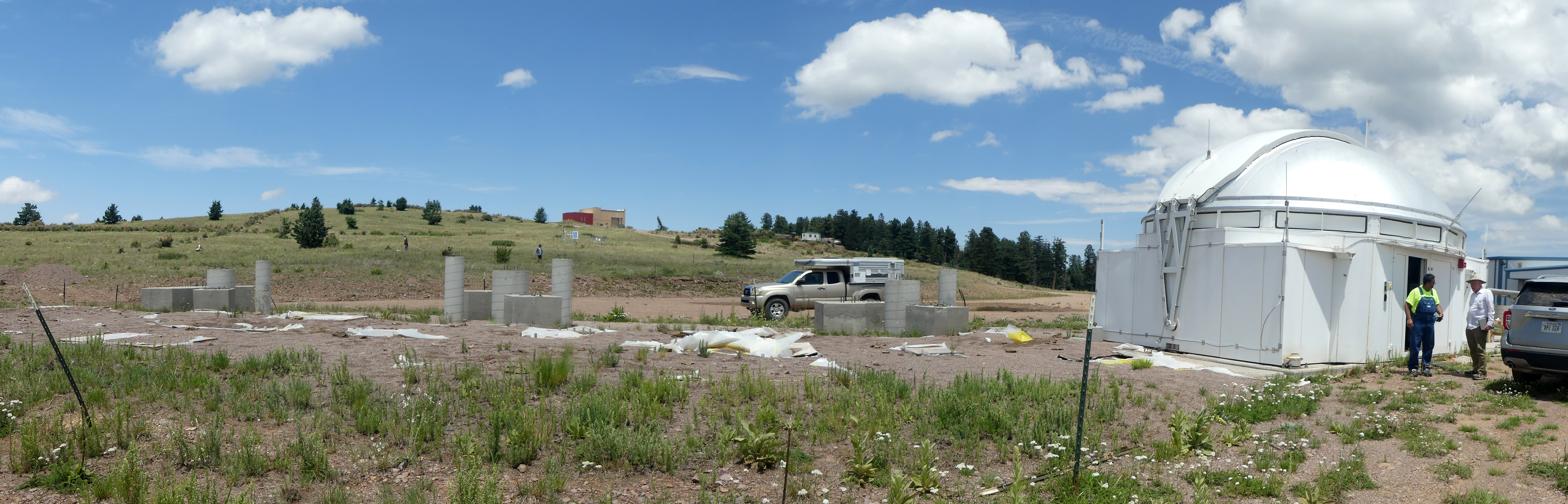
We were pretty much alone on the mountain, but twice while hiking we met a very friendly man with an intriguing accent whom we assumed was one of the workers at the observatory. After the second meeting, he left a note on our truck with detailed instructions and an invitation to visit. So off we went after our hike, and soon learned that our gracious host was Dr. Tomaso Marchiori, Vice-President of EIE Group, the Italian engineering firm in charge of construction of a series of 10 fast-slew relocatable 1.4-meter telescopes that will eventually be linked with the radio dishes at the VLA.
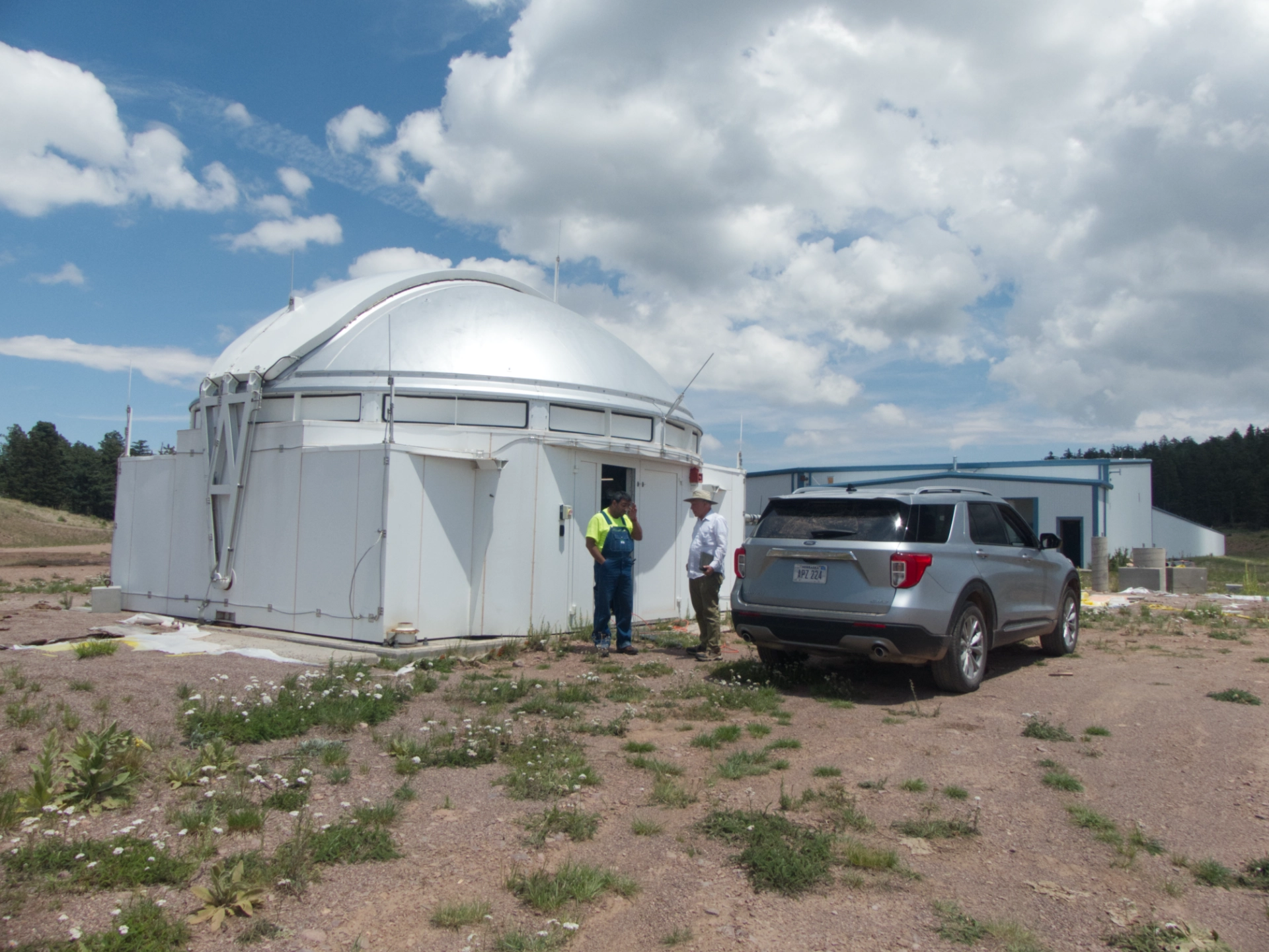
EIE has overseen telescope construction projects in Chile, Turkey, Arizona, the Canary Island and New Mexico. The Magadalena Ridge Observatory Interferometer (MROI) was scheduled for completion in 2018, but has been repeatedly delayed by funding shortfalls. We were delighted to meet Tomaso and get a sneak preview of the project!
Recalibrating
From the Magdalenas, our plan was to head south on Old State Highway 52, FR 138 and FR 96, skirting the western edge of the Apache Kid Wilderness. We tucked in for the night at an excellent hilltop site at 8900', with 360° views.
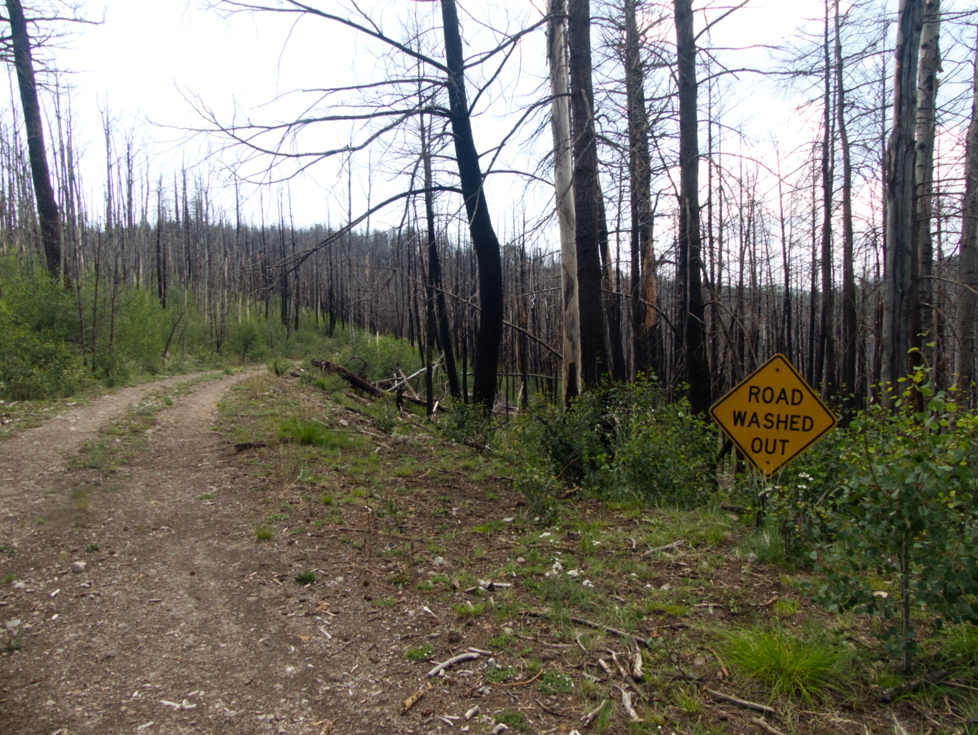
The Mount Withington Lookout, constructed in 1952, is a low-profile fire tower situated atop an open, grassy ridge at 10,115'. We knew the four-mile stretch from Monica Saddle to the lookout would be rough, and it was. Typical New Mexico high-elevation forest roads, one-lane, boney and narrow, with thousand-foot drop-offs. Several times we almost turned back.
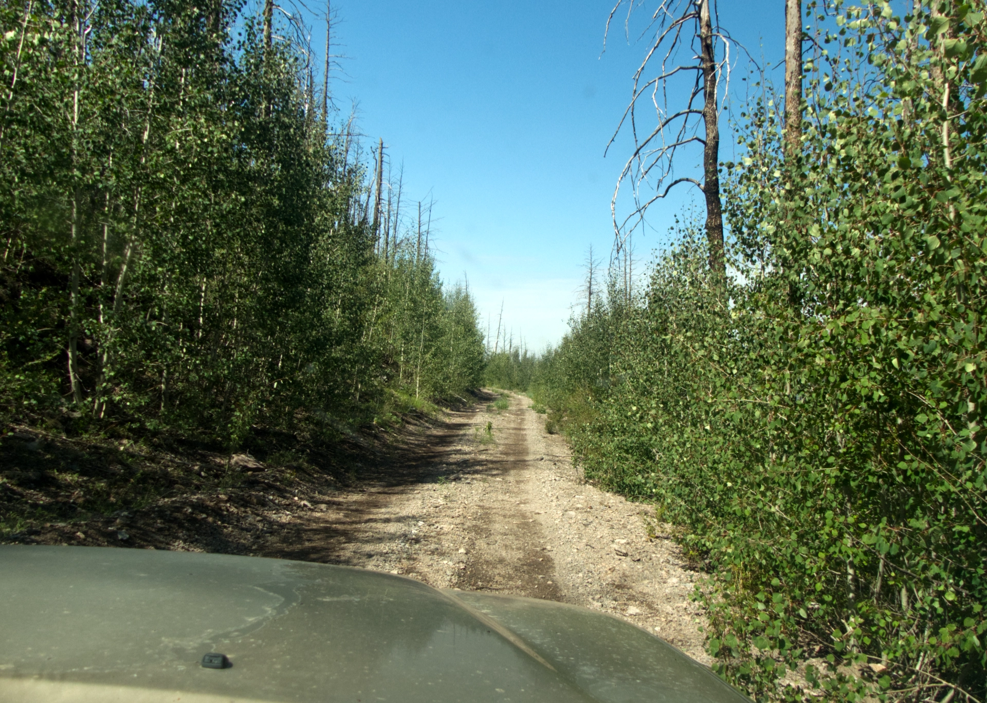
Past the lookout, the road was supposed to improve. Instead, it actually got worse — little more than a narrow shelf with badly eroded edges barely clinging to the side of the mountain, and actual trees growing up in the middle of the road. We bumped along for another five miles, determined to get past "the bad section".
And here we are at the intersection of FR 138 and 96, where we were supposed to continue south on 96 toward Monticello. FR 138 was the only way out, but it would take us 70 miles out of our way, and at least on the map, it appeared to be even steeper and more tortuous than what we'd already travelled. I was loathe to simply give up and go home, so as we retraced our steps to US 60, I ran through every possible alternative destination.
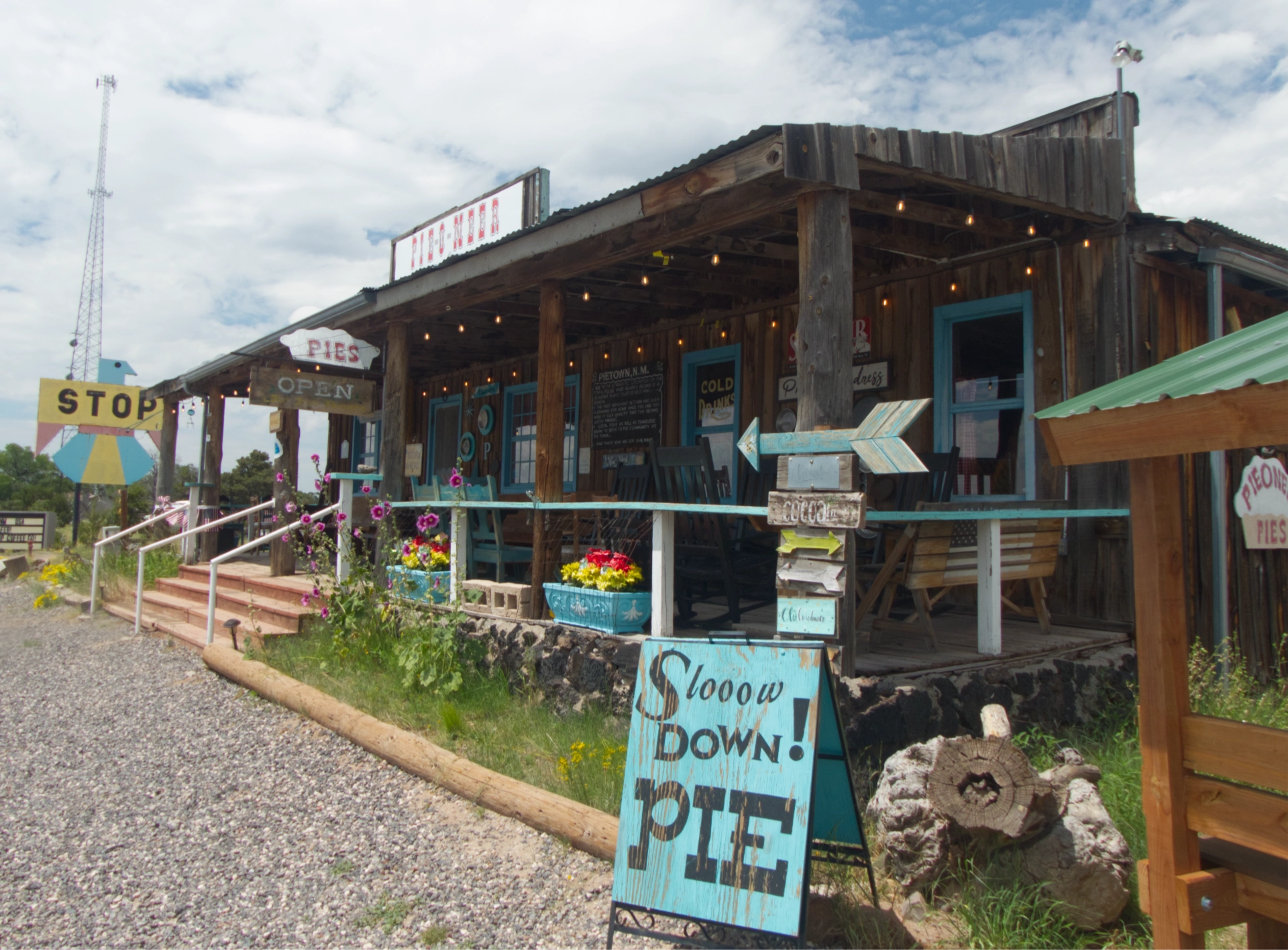
But of course — Pie Town! On all our travels through this part of New Mexico, we had never managed to pass through at a time when any of the restaurants were open. Today was our lucky day! We arrived just one hour before the Pie-O-Neer closed for the day, and enjoyed a fabulous lunch of quiche, salad, homemade muffins and pie, glorious pie!
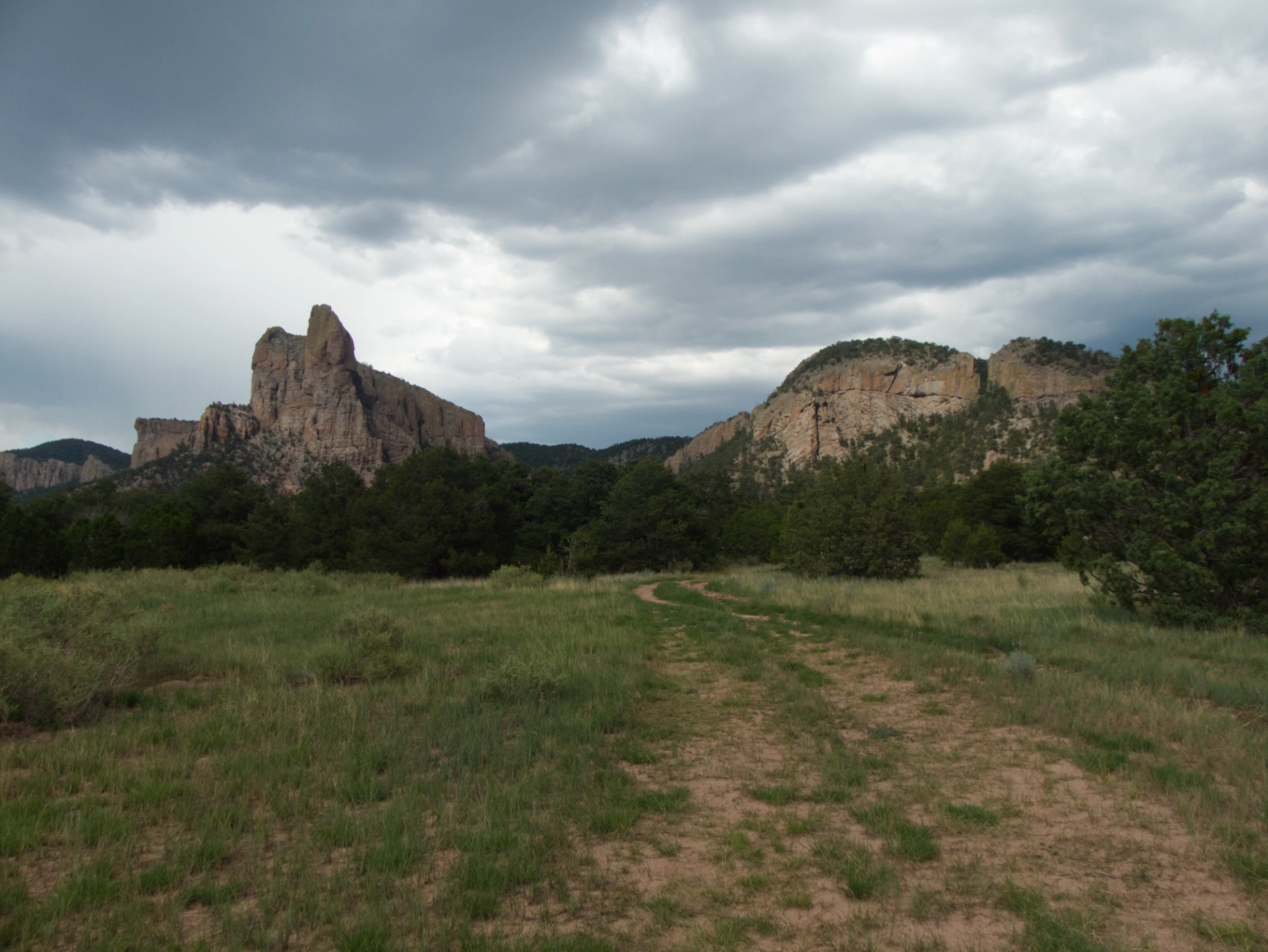
Nearby are the Sawtooth Mountains, another destination that has long been on my list. It was late, a storm was moving in, and a fellow customer at the Pie-O-Neer had warned us about axle-deep mud in the Sawtooths.
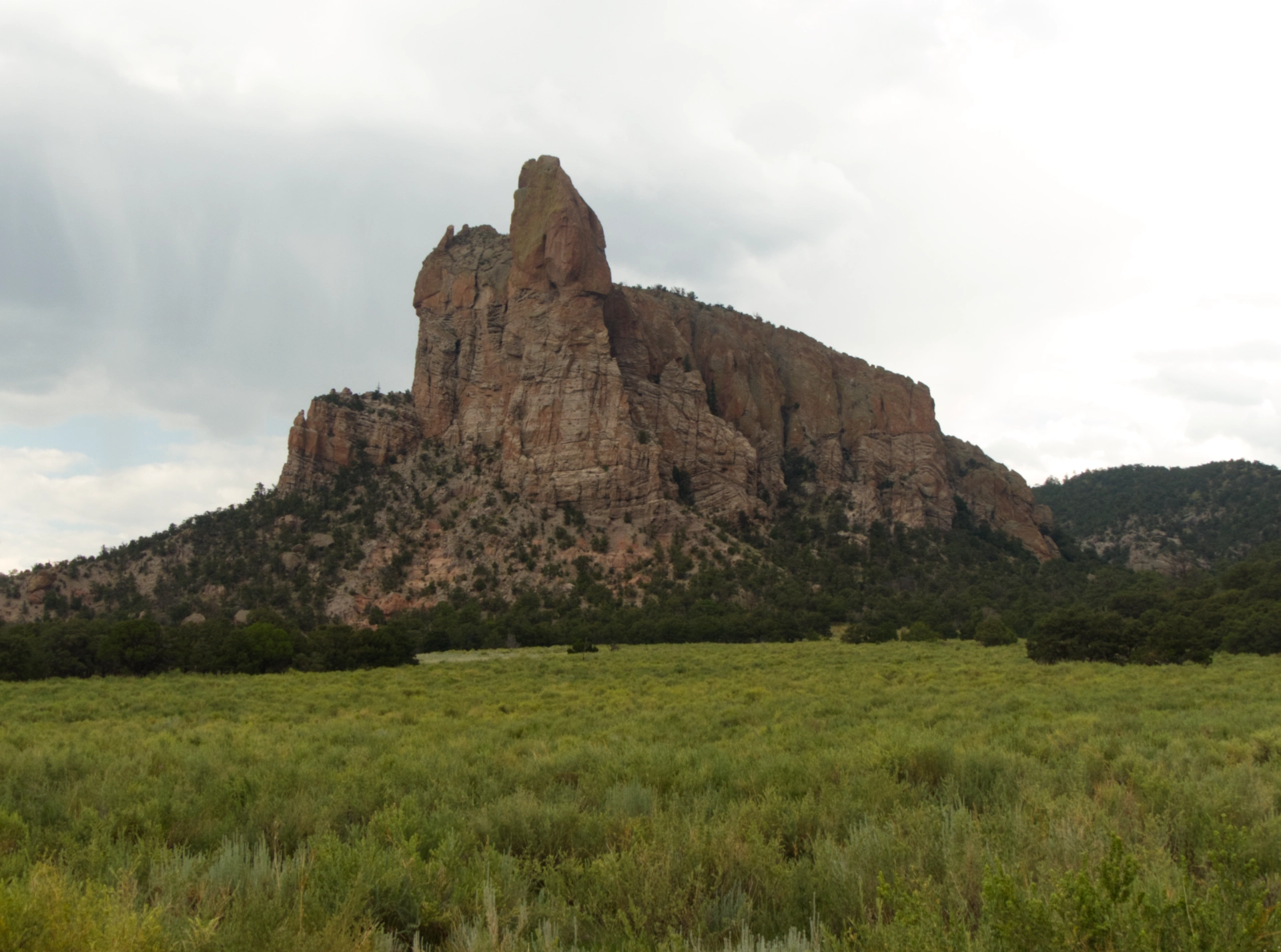
We drove in as far as we dared, and continued on foot.
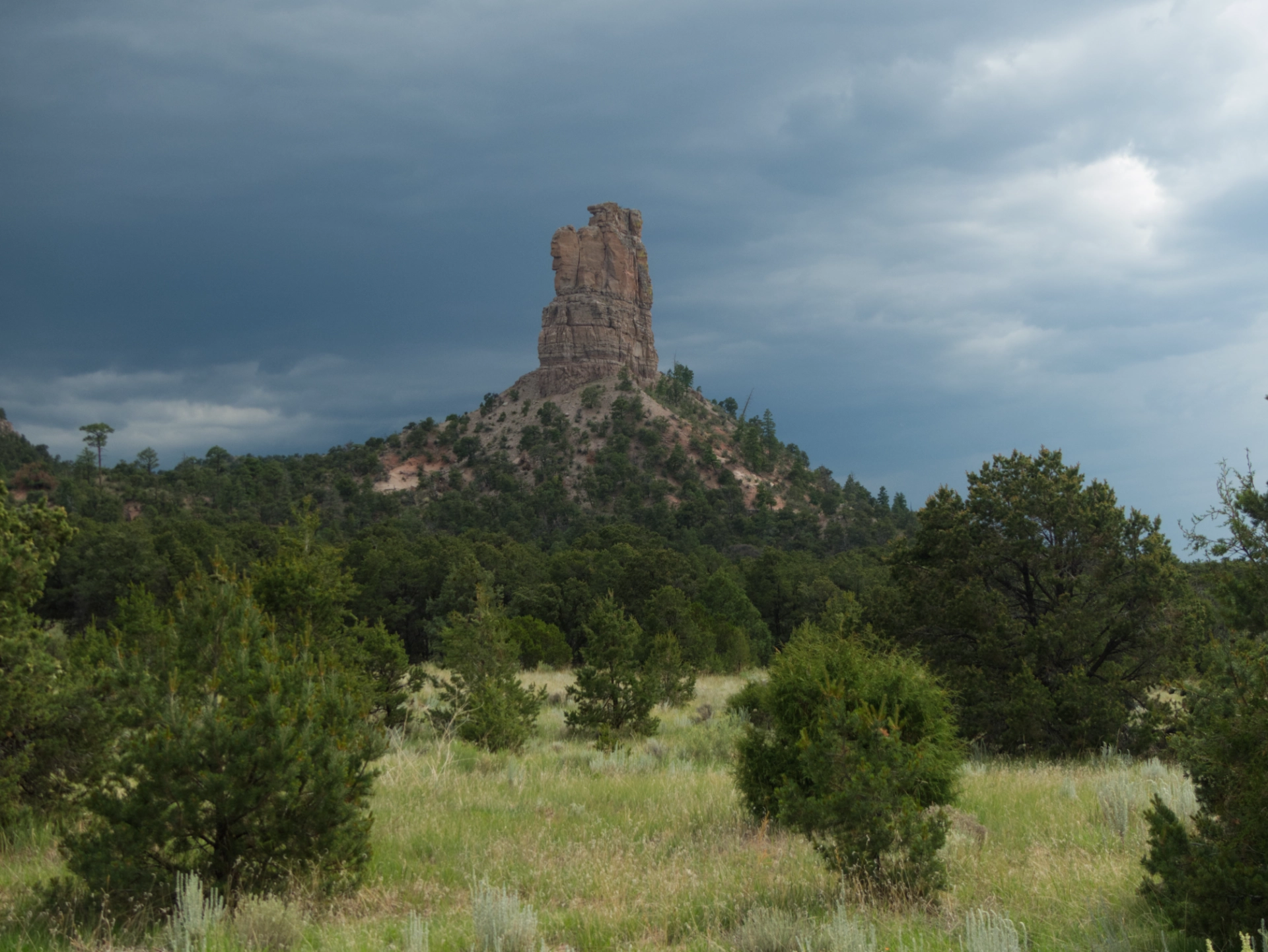
This is definitely an area that deserves further exploration under better conditions!
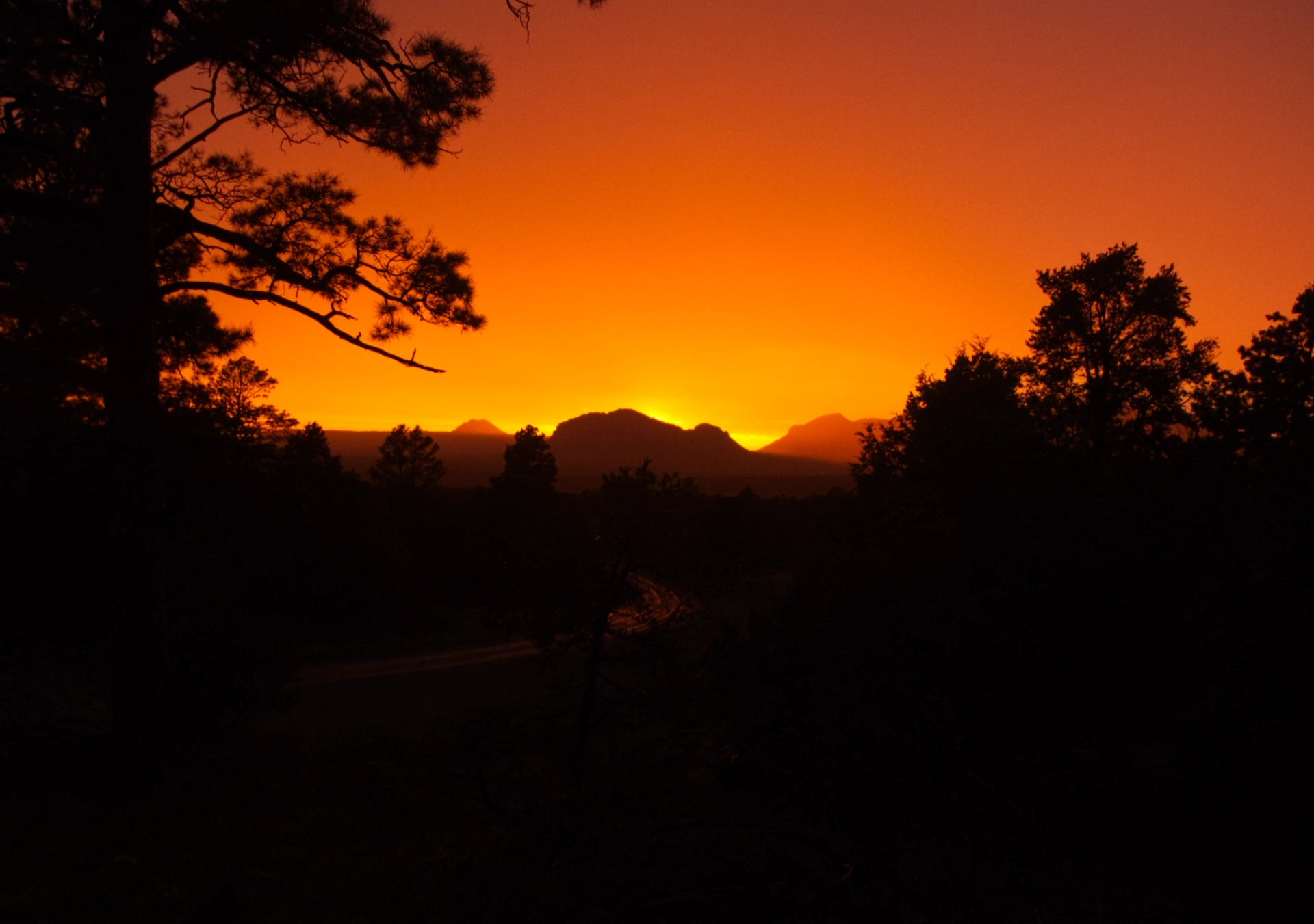
It poured for five hours straight that night. We were very happy we decided to camp on higher ground in a pull-off not far from the highway. Once the rain stopped, there was a fabulous sunset!
A Lot of Flora, A Little Fauna
One of the highlights of this trip was the profusion of alpine wildflowers. Here are a few of my favorites, with my best guesses at the common names.
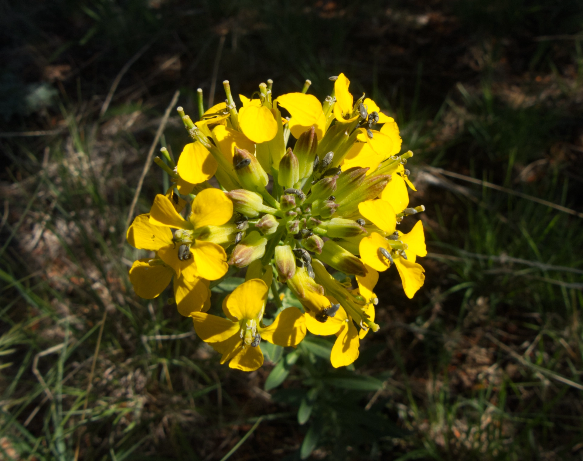
Western Wallflower
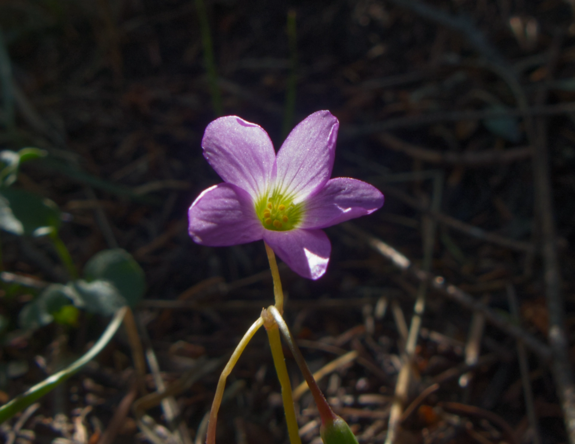
Metcalfe's Woodsorrel
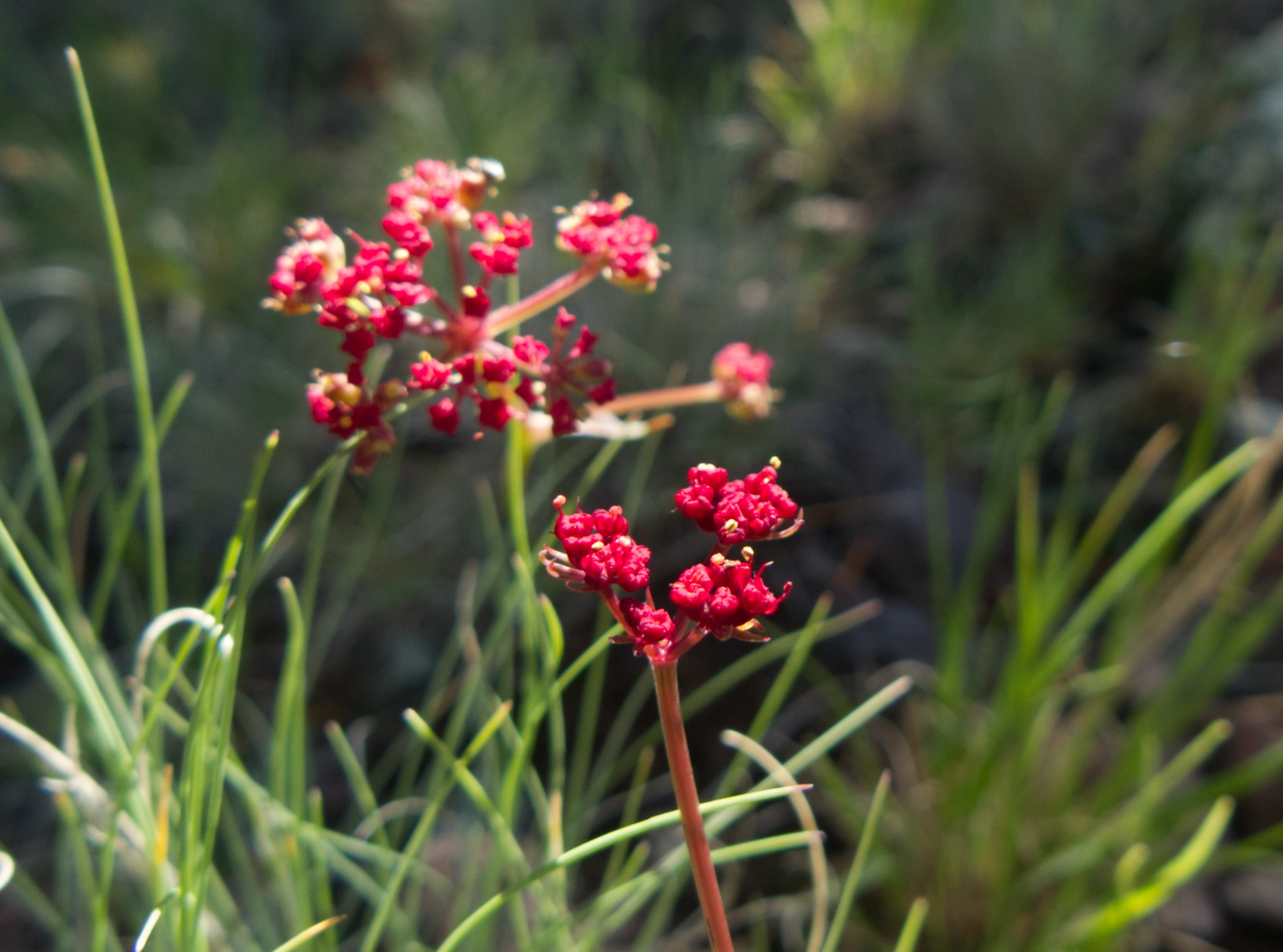
Alpine False Springparsley
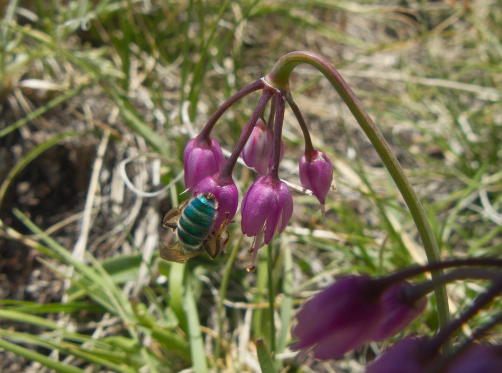
Angeles Striped Sweat Bee on a Nodding Onion
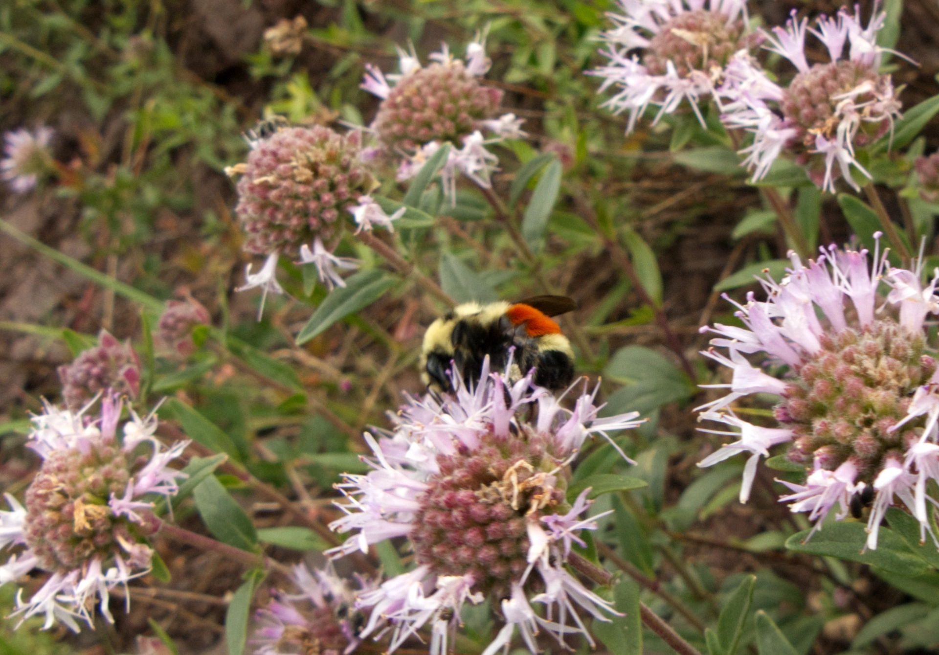
Bumble Bee on Bergamot
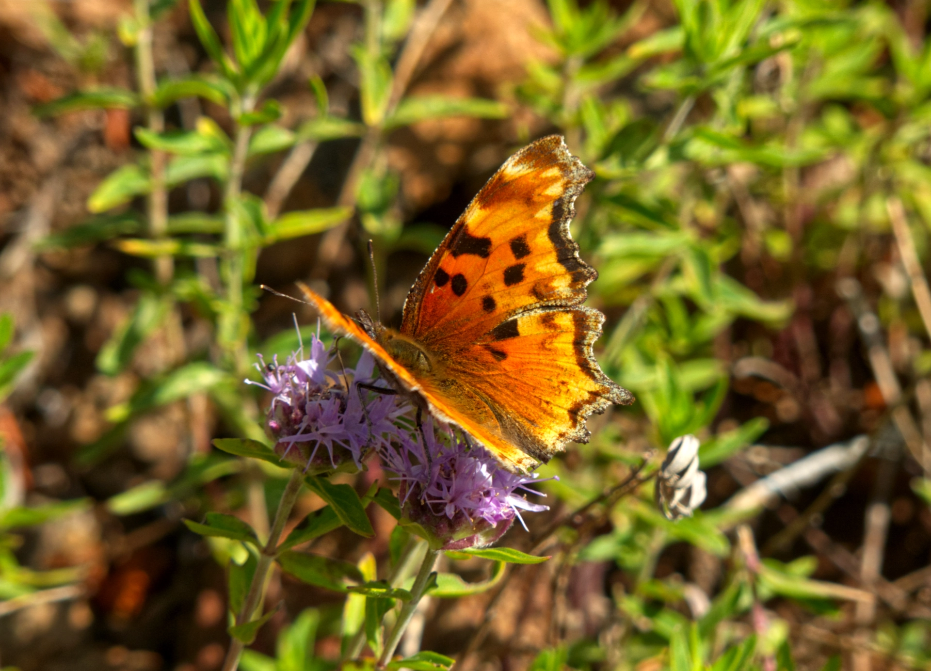
Hoary Comma Butterfly
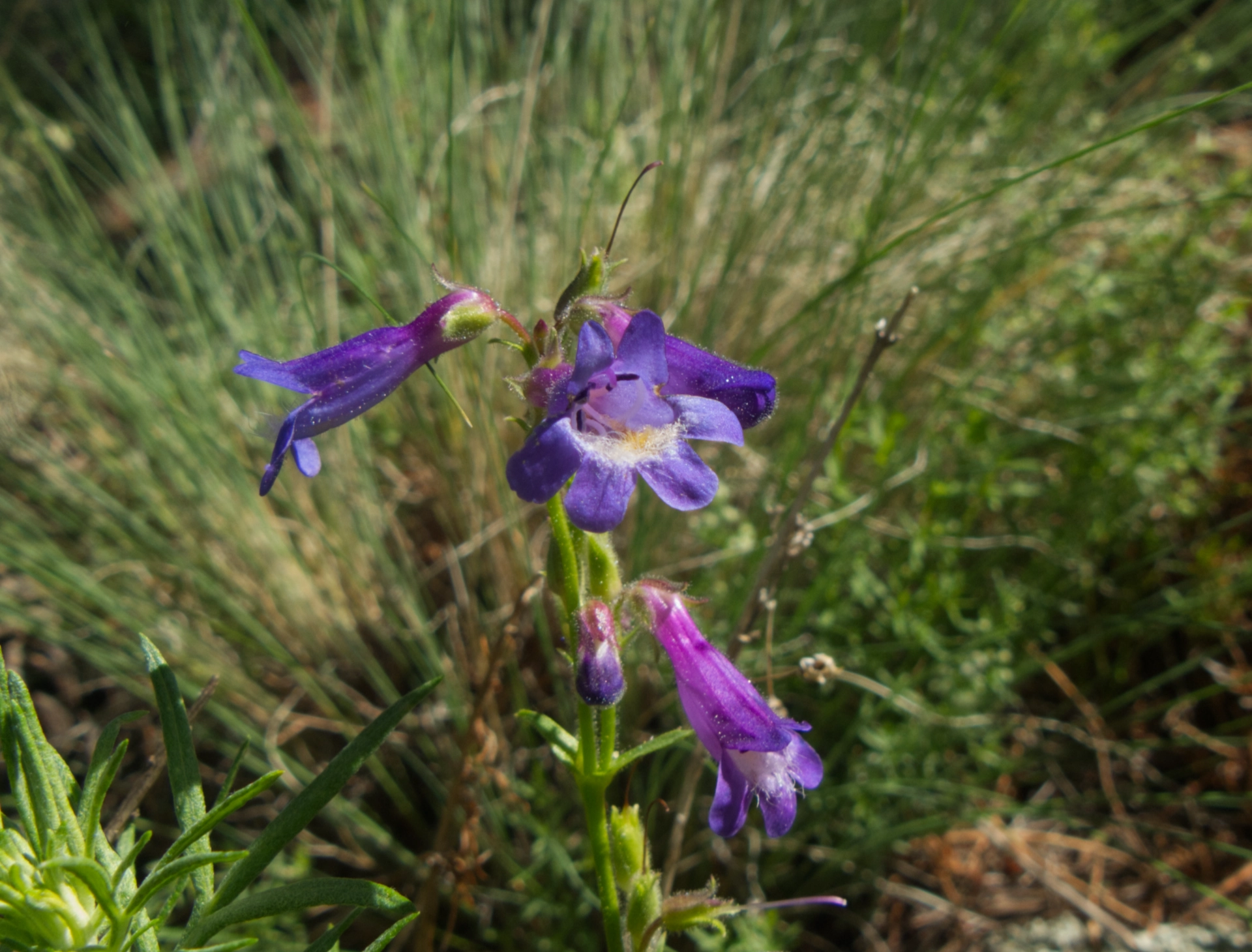
Apache Beardtongue
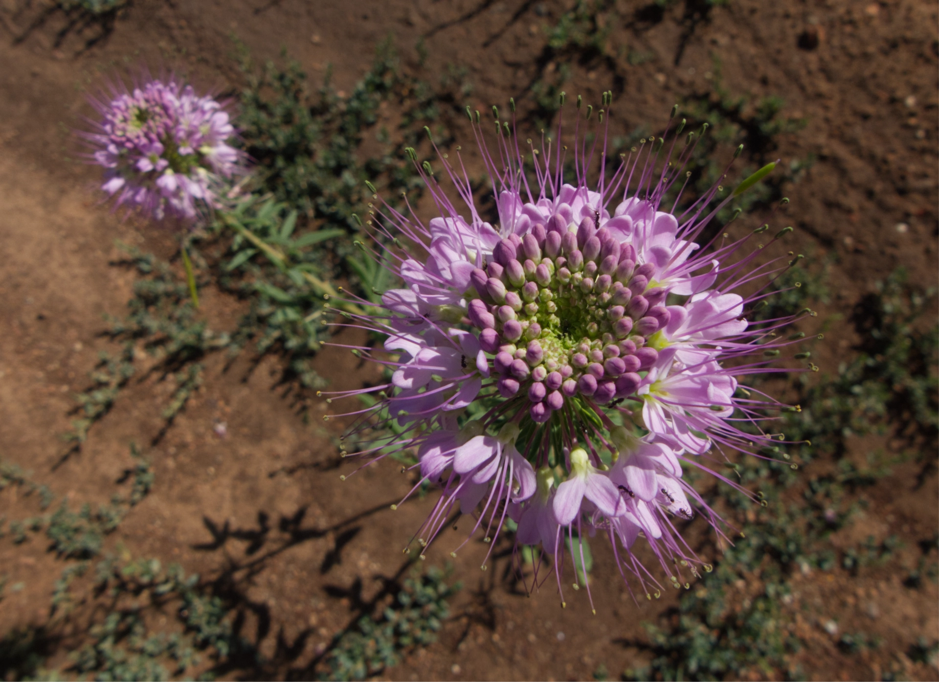
Rocky Mountain Beeplant
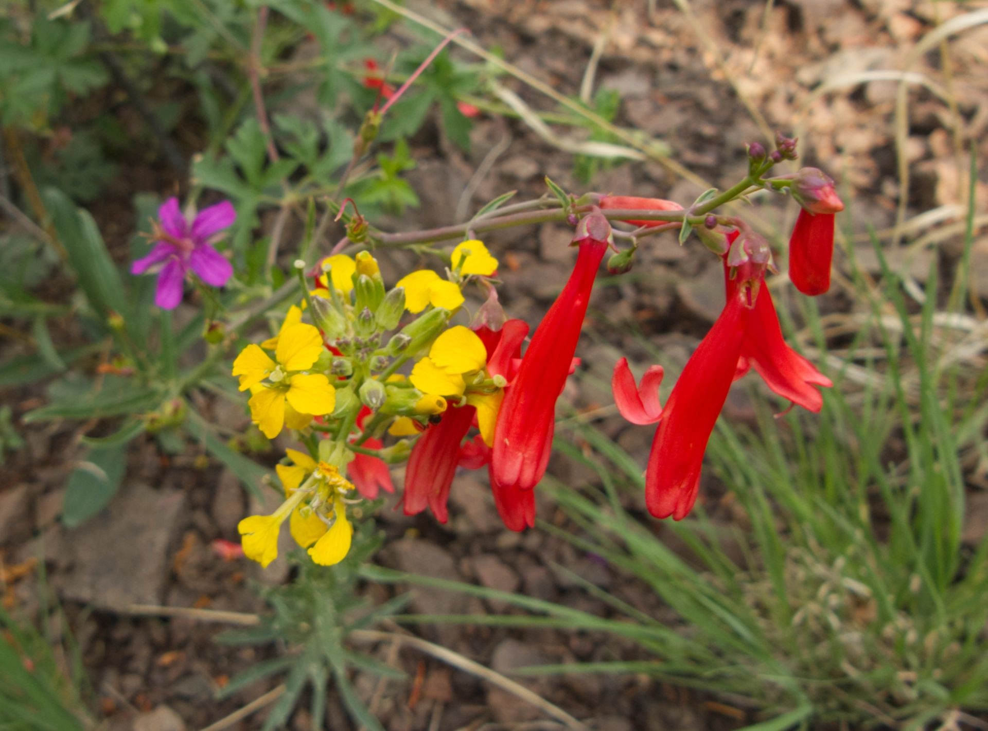
Summer Bouquet: Pinewoods Geranium, Western Wallflower, Penstemon.
