Lower Gila Box
Spring 2025
There were no big trips in January, 2025. We spent most of the month working around the house. We were very much alarmed by the massive wildfires in Los Angeles, especially since the Gila snowpack is hovering at a dismal 15%. After watching videos of flaming embers raining down on neighborhoods, while firemen screamed that "all the ornamental vegetation is catching fire", we got serious about creating a "defensible space". We cleared away all the plants within five feet of the house and did major surgery on mature trees. We tore down a hazmat-infested chicken coop on the north side of the house and used the corrugated metal to replace a section of the wooden fence around pergola #2. Nevertheless, we still got out at least weekly with our hiking group, returning to the Lower Gila Box in mid-January and again in early February.
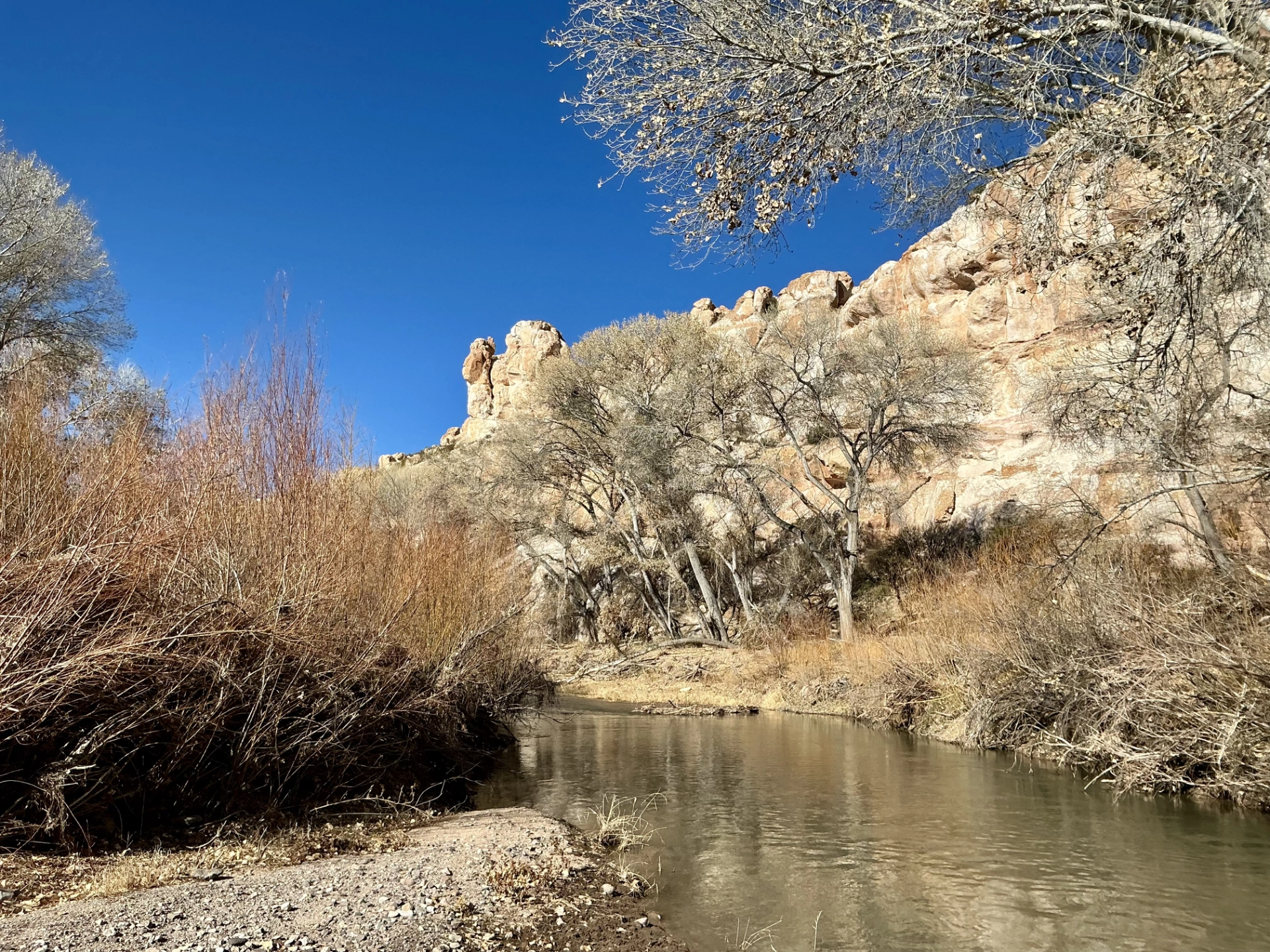
On both excusions, we followed the Spring-on-the-Bluff Trail, which to our knowledge is the only trail that runs along the top of the cliffs overlooking Lower Gila Box. About a half mile out, the trail drops steeply to the edge of the Gila.
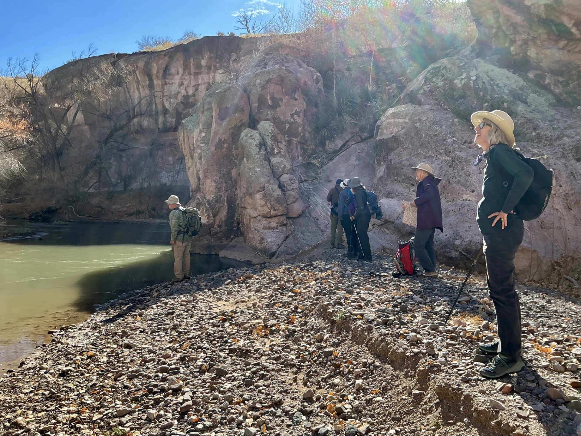
L to R: Alan, Ken, Ellen, Janett, me and Sue.
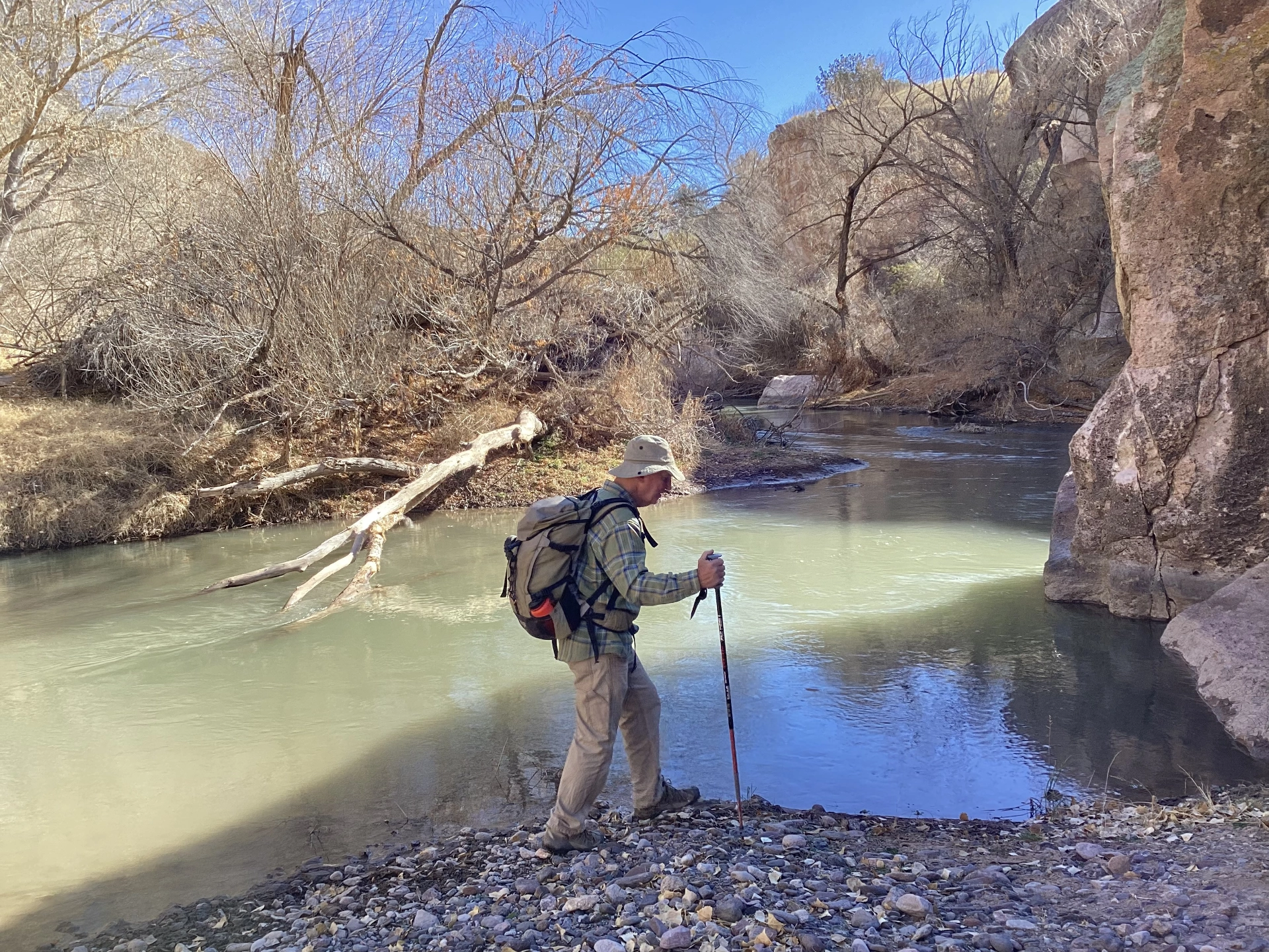
We wandered upstream as far as we could, but were blocked at a sharp but terribly scenic bend in the river that would have required a swim.
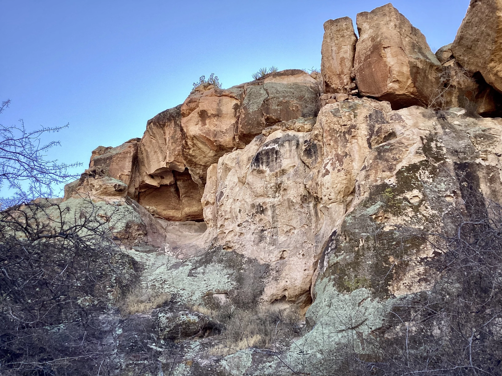
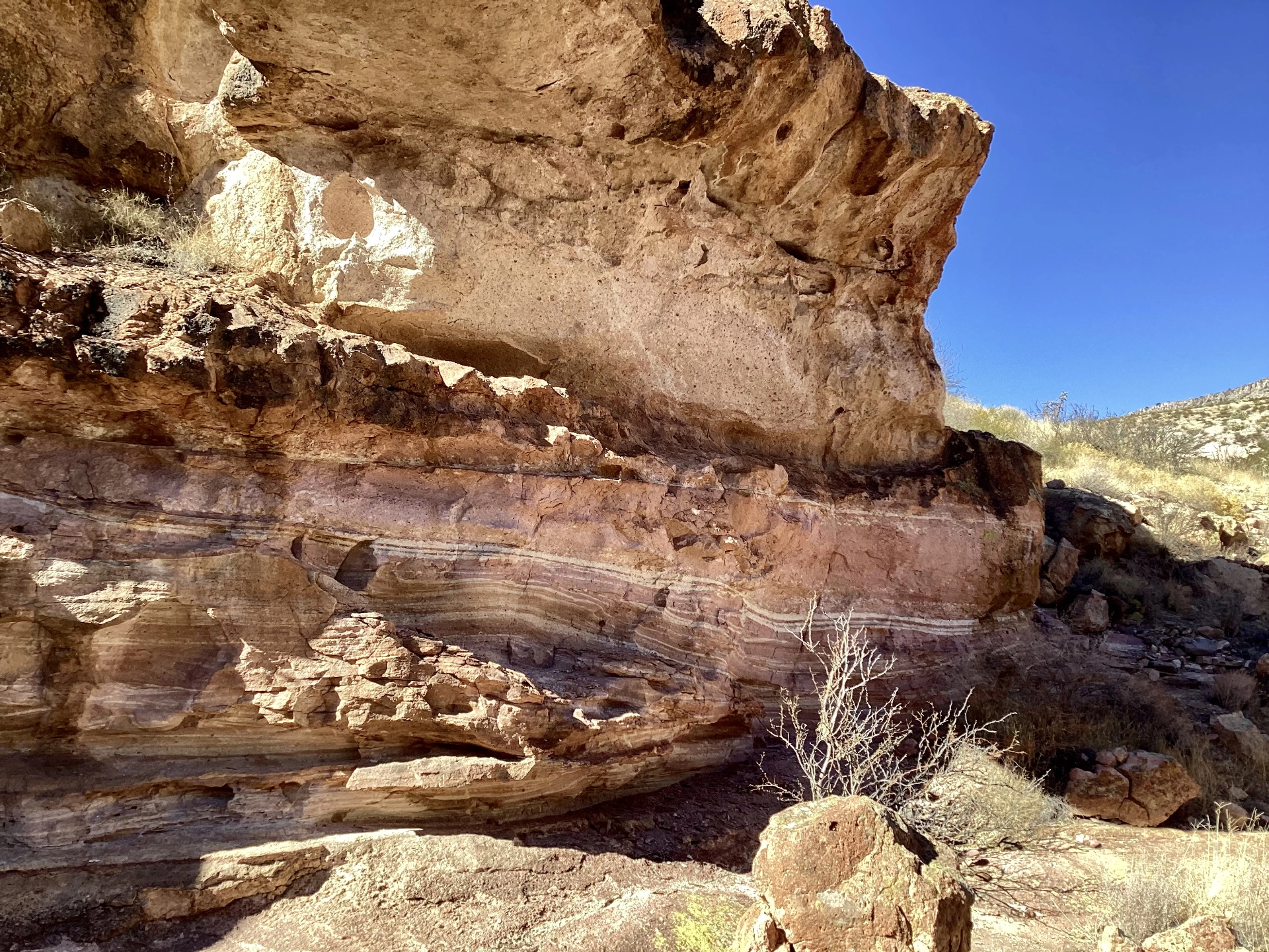
Returning closer the the base of the cliff, we came across a rock overhang that looked like it may have served as a shelter or habitation.
Where the trail ends, we continued bushwhacking along the top of the cliff, eventually reaching a deep side canyon with colorful walls that we dubbed, "Painted Canyon".
An impressive overhang in Painted Canyon.
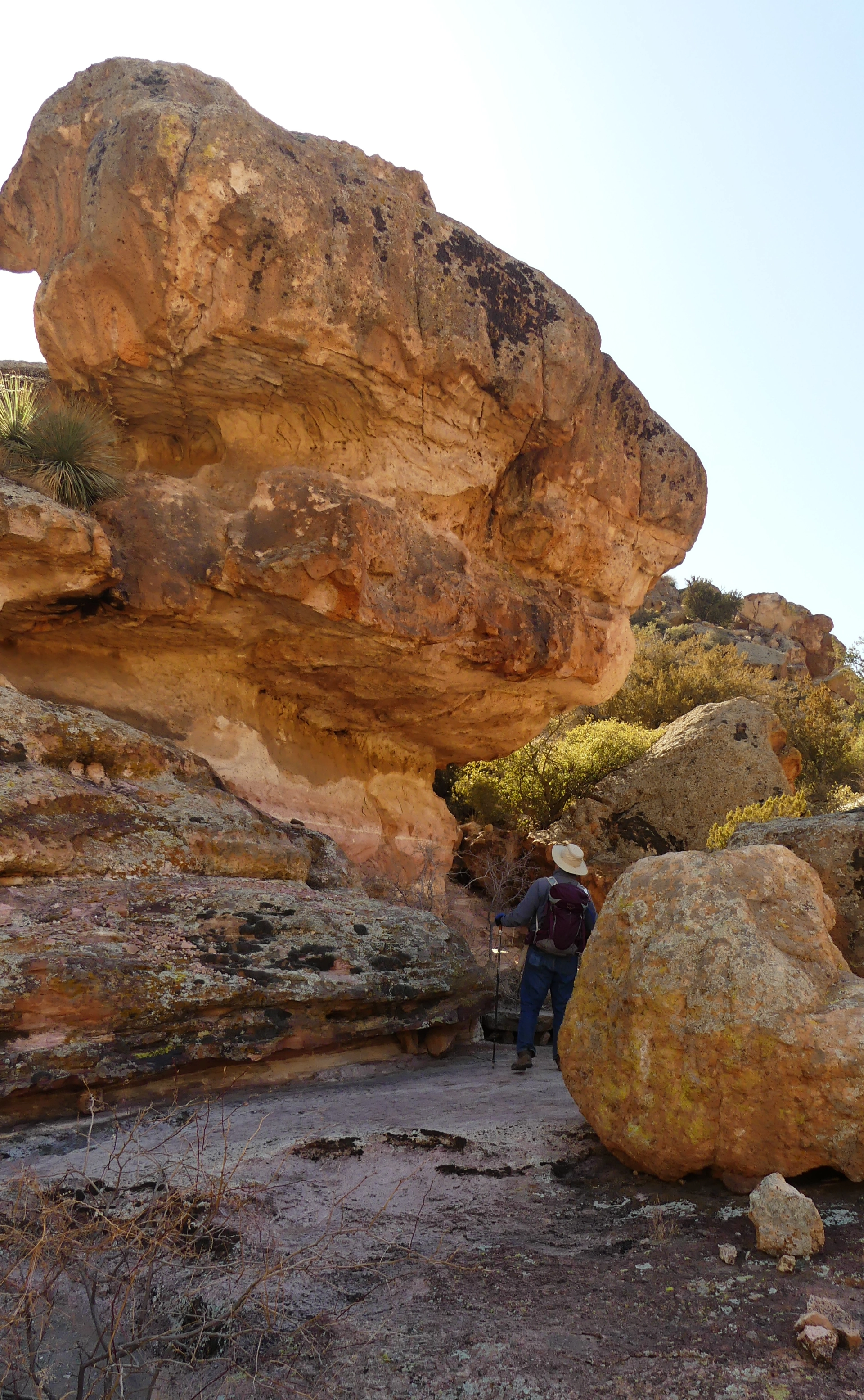
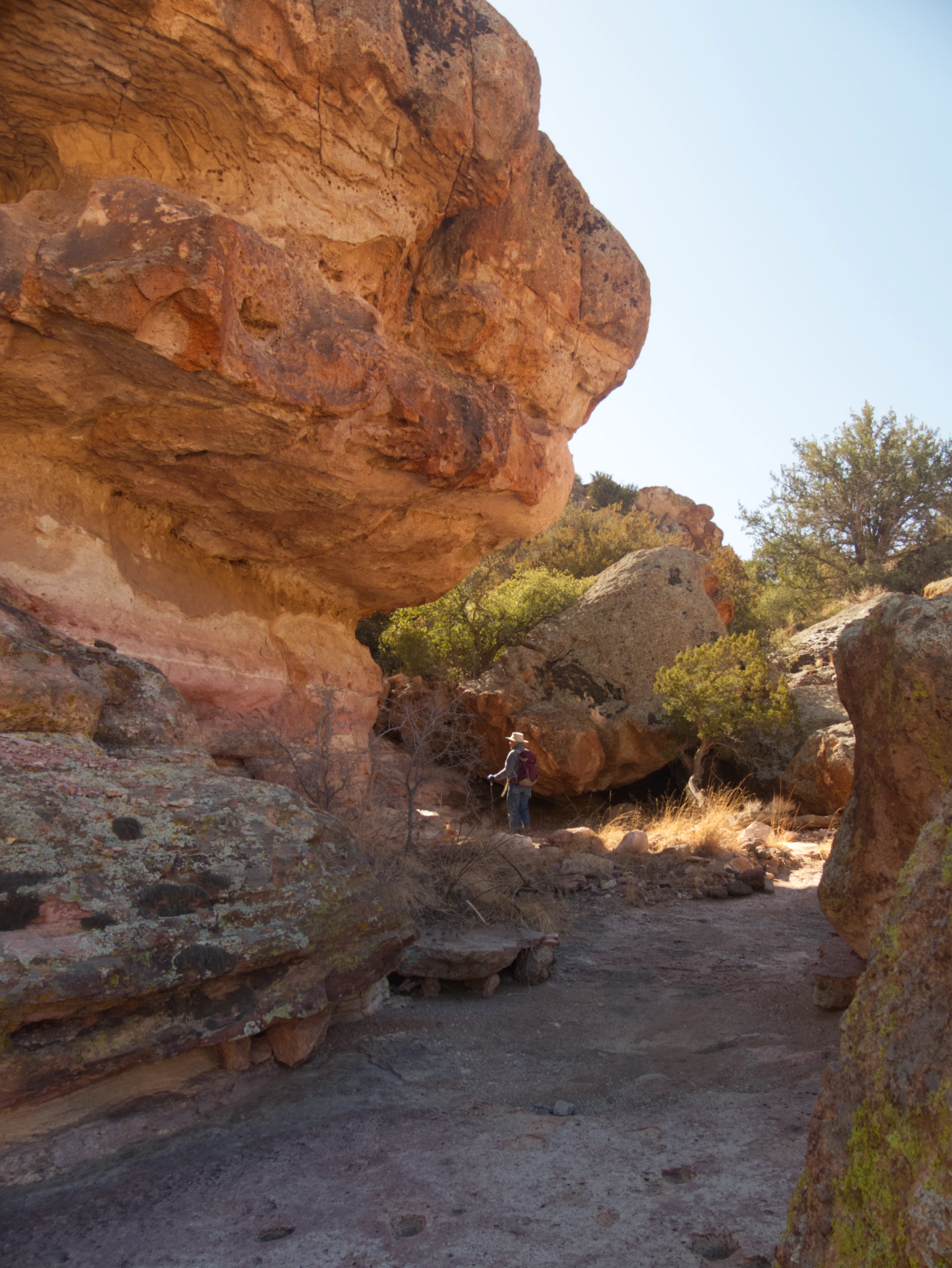
In early February, we returned to the box and found we could make our way around the canyon and continue sidehilling and scrambling under/over/around enormous boulders (Photo by Janett H).
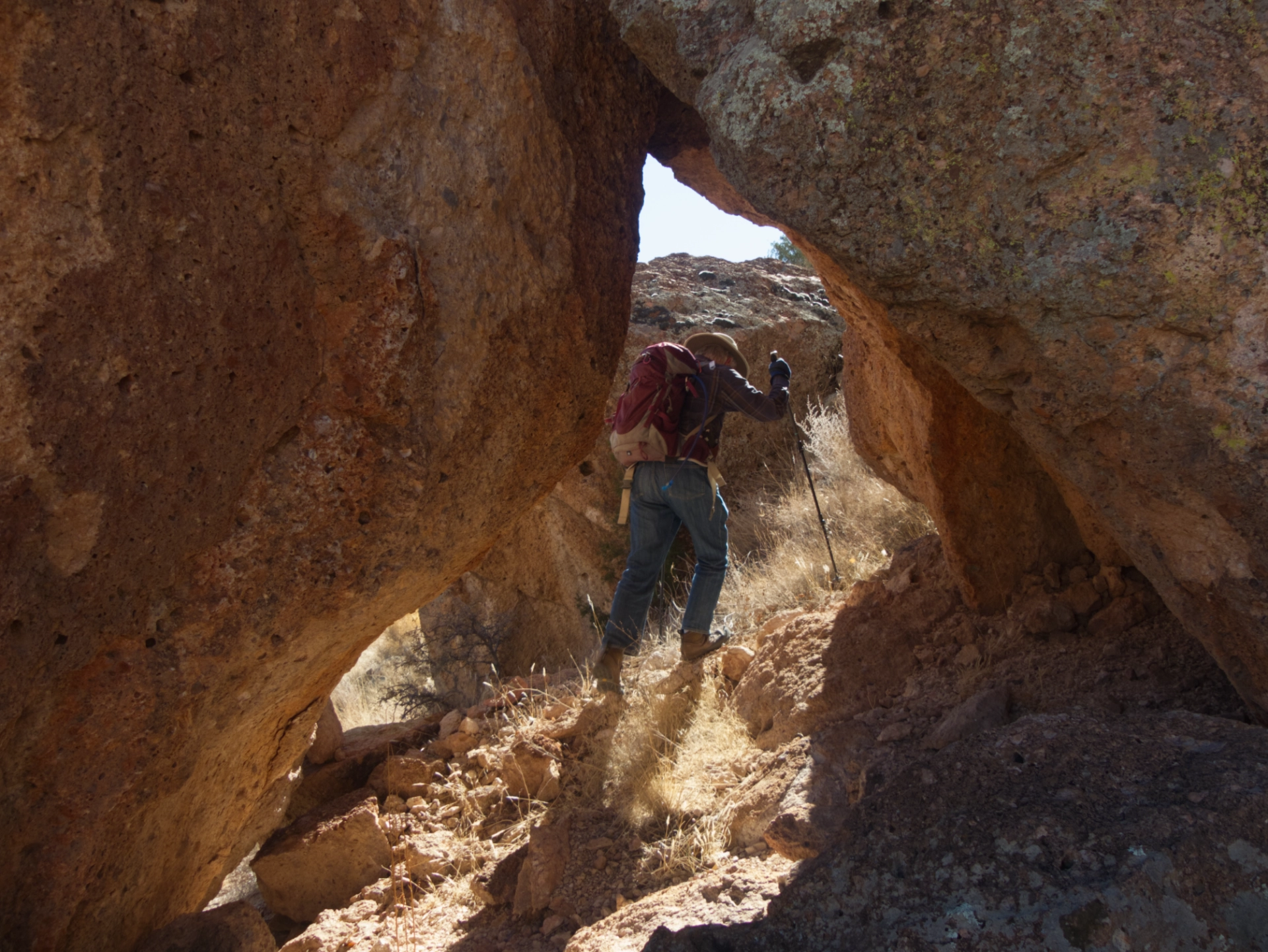
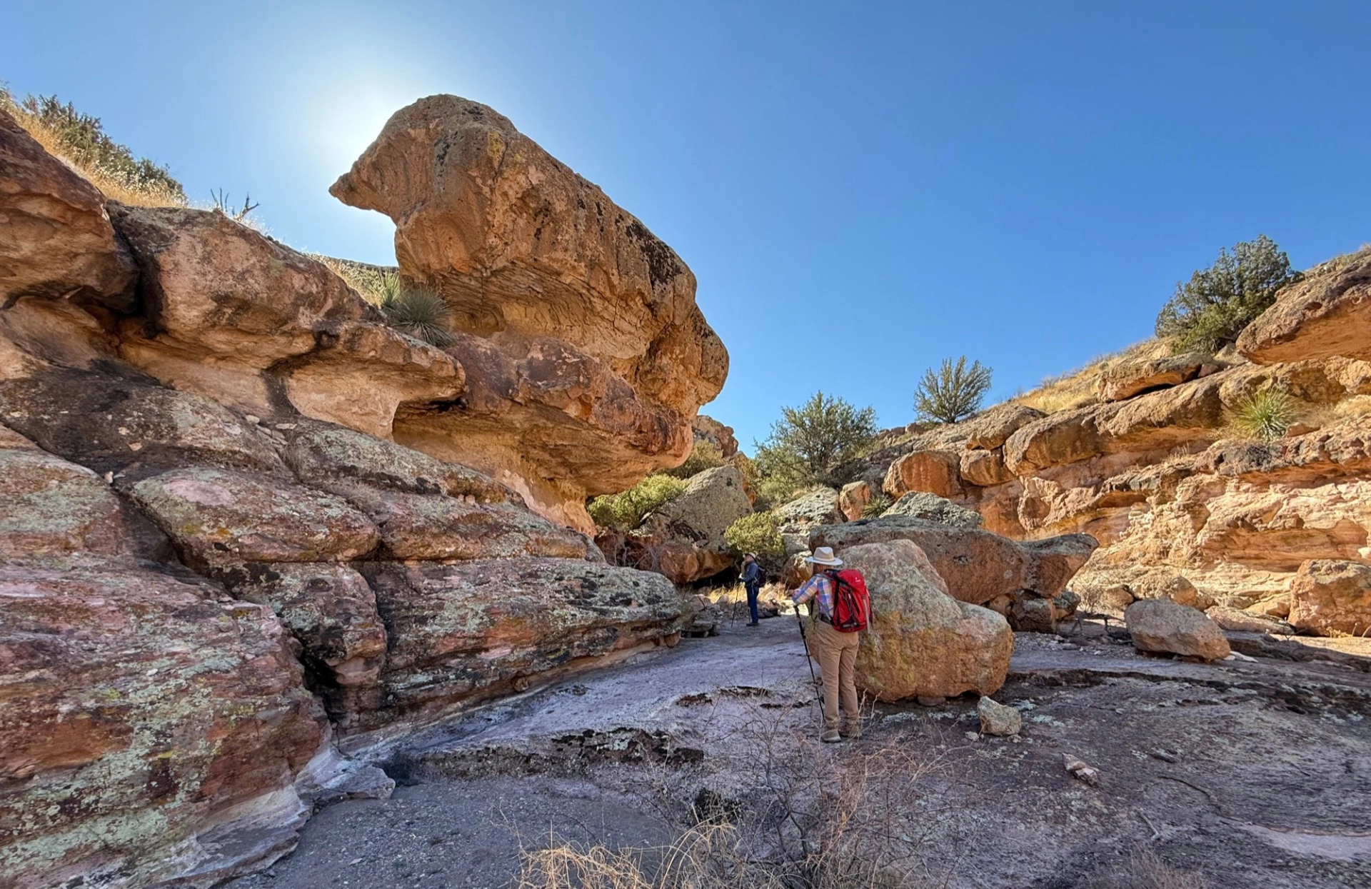
A passage formed by two cantilevered boulders. Eventually the terrain became too rough, and we turned back about 2000 feet shy of Box Canyon. Instead of backtracking, we bushwhacked up and over Painted Canyon, slipping through a narrow slot in the palisades and making our way cross-country back to the vehicles. Serious fun!
