Signal Peak
July 2, 2024
I may have conquered my fear of Signal Peak. I'd been warned that the trail was extremely steep. I was also aware of an extensive burn scar from the Signal Fire of 2014. But with temperatures in the upper 80s PLUS humidity from a series of powerful monsoon storms, we were running out of options. Signal Peak, at least, less than 15 miles from town, with with a dense forest cover and a trailhead elevation of over 7300', checked the most important boxes.
The Signal Peak trail climbs 1700' in 2.5 miles. We were surprised to find that although it is unrelentingly steep, the grade is reasonable, with many switchbacks
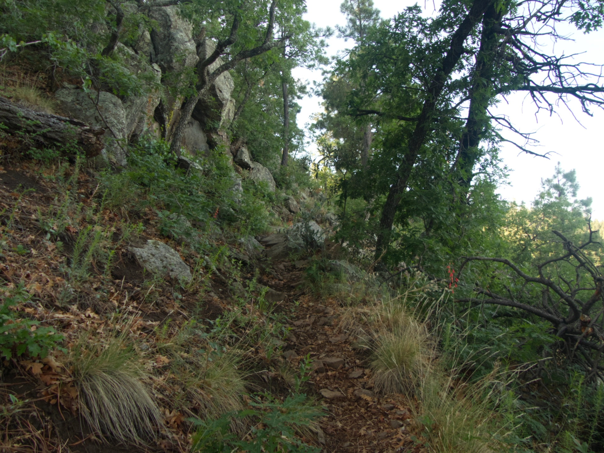
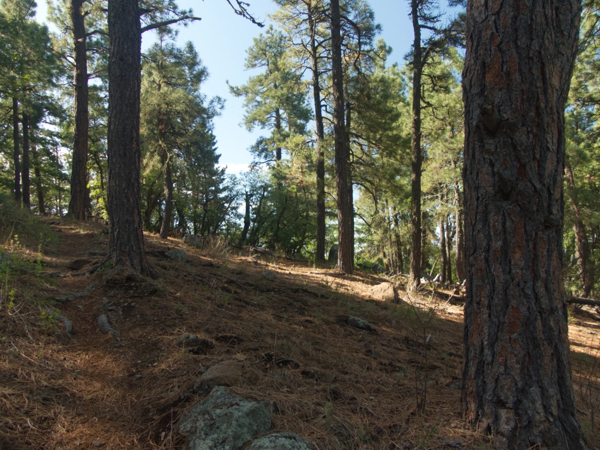
We also appreciated a tread mostly composed of "pine straw".
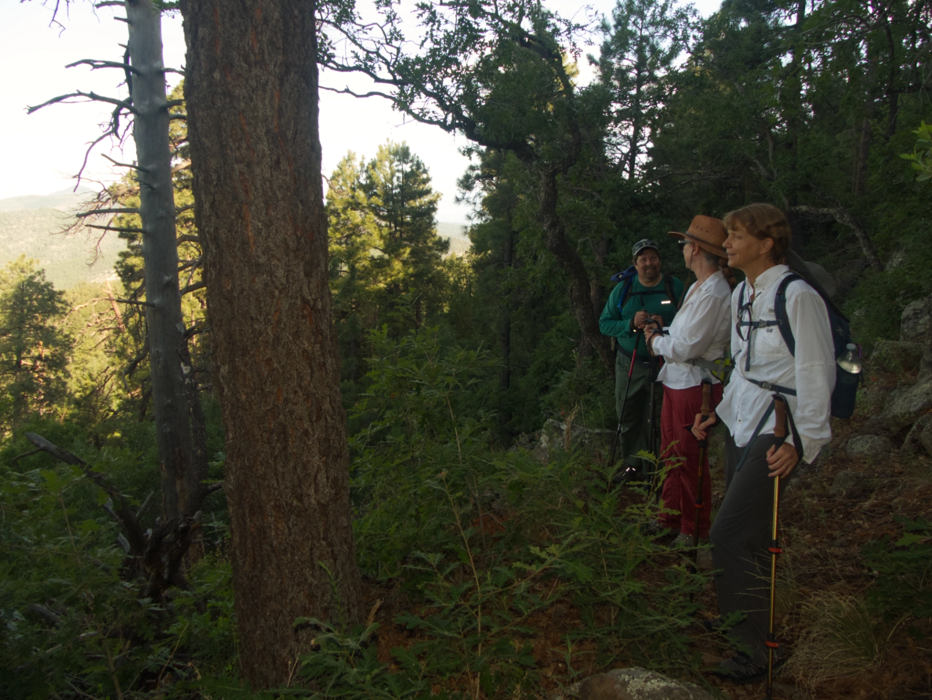
Dave, Debra and Janett stopping to catch our breath and enjoy the view.
Fire damage is evident along the ridgeline when approaching the summit via Signal Peak Road, but the trail up the northwest side is blessedly forested all the way to the top.
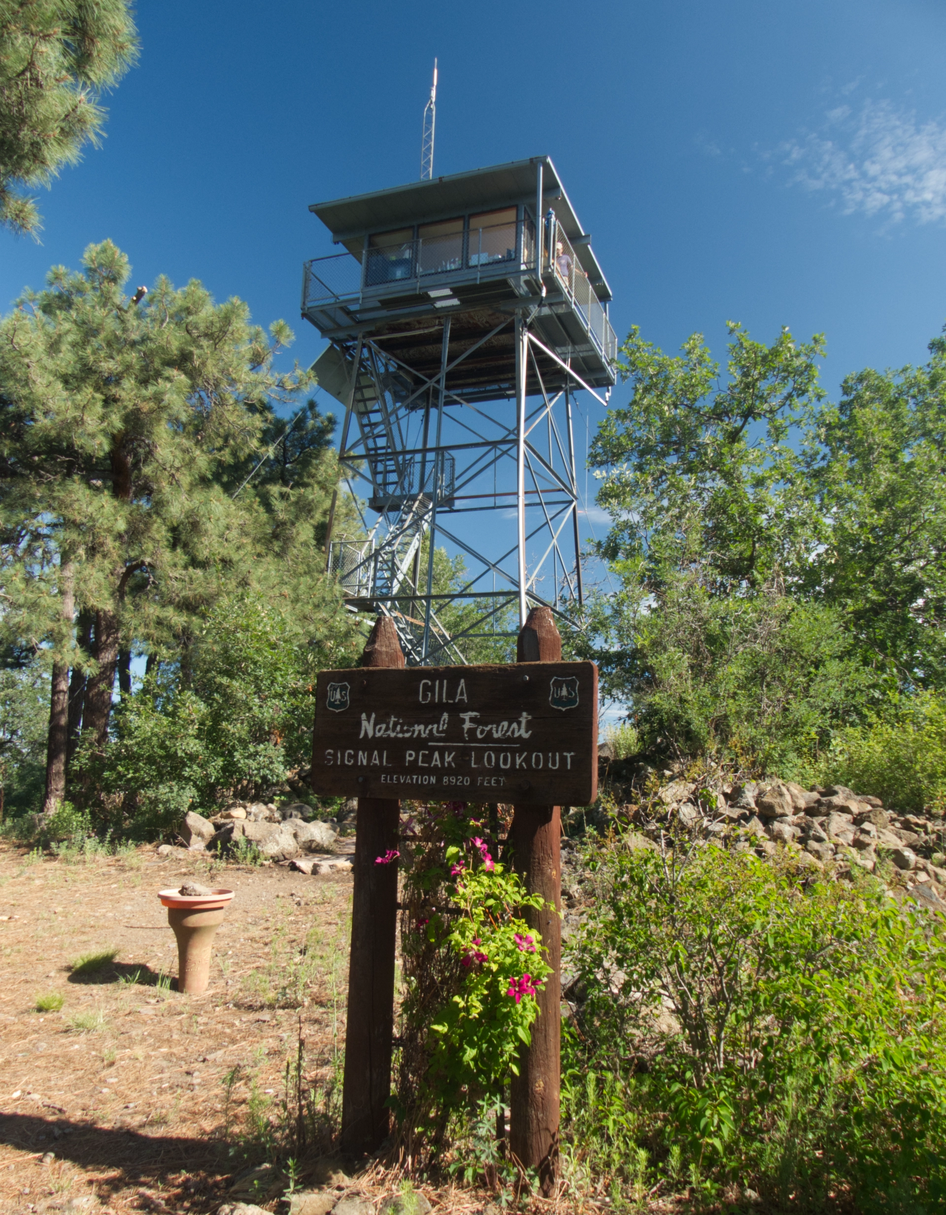
It took us just two hours to reach the lookout at 8,986 feet.
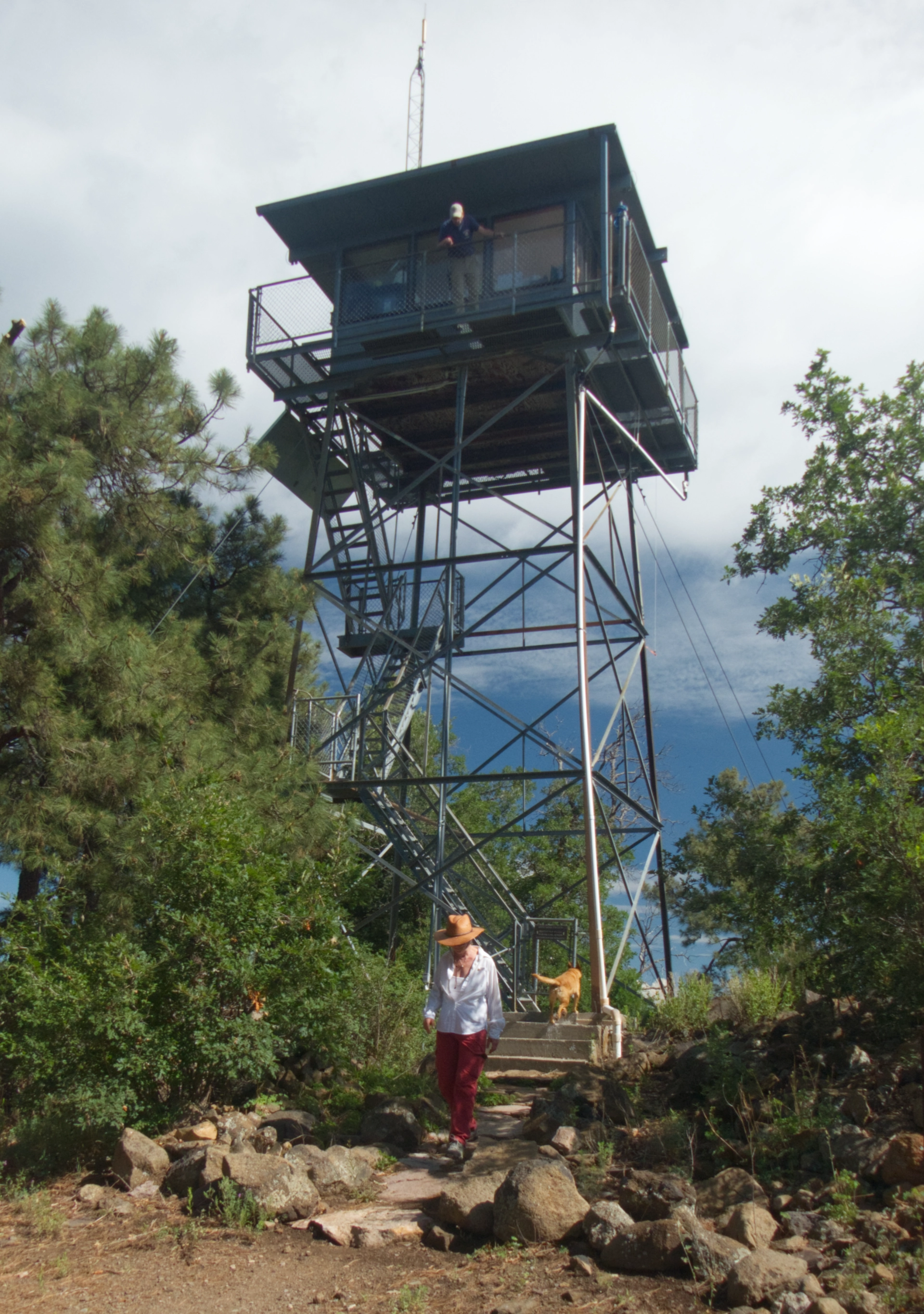
It is well known as the nicest of the 10 remaining lookouts in the Gila National Forest. We were thrilled when Jim, the lookout, invited us up for a better view.
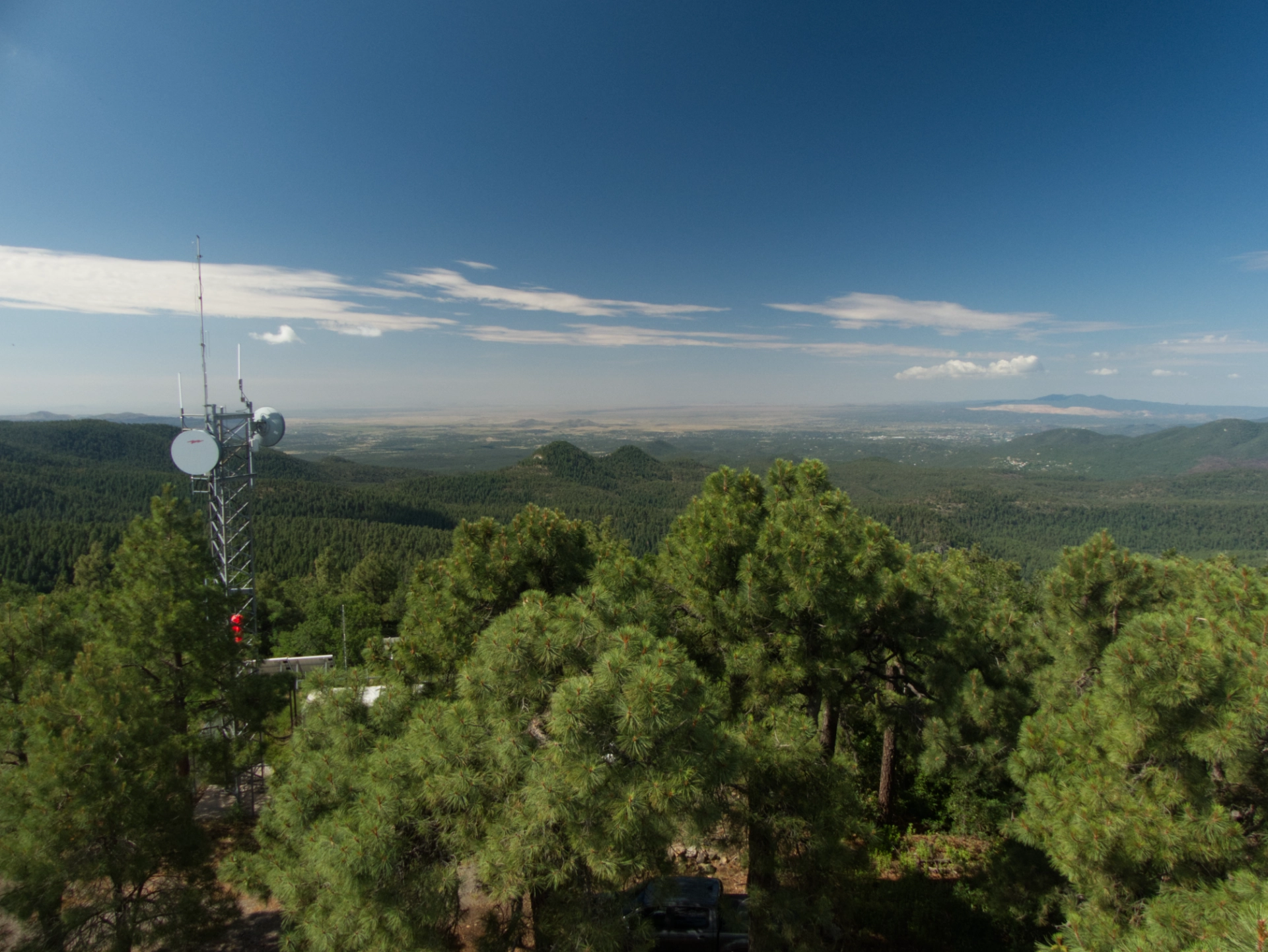
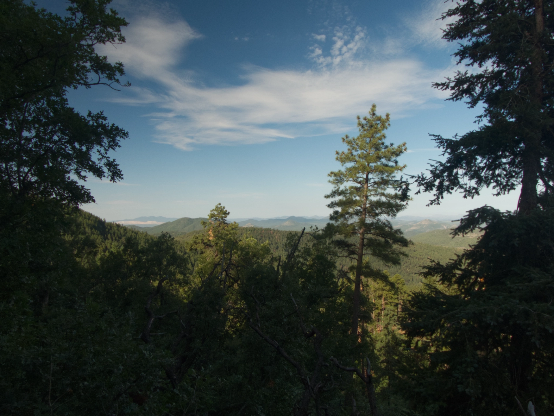
And wow, what a view it was, freshly washed after yesterday's big storm. This is looking southwest toward Silver City.
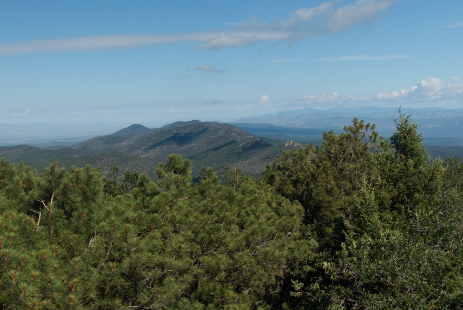
Looking west toward Scott Peak and Tadpole Ridge.
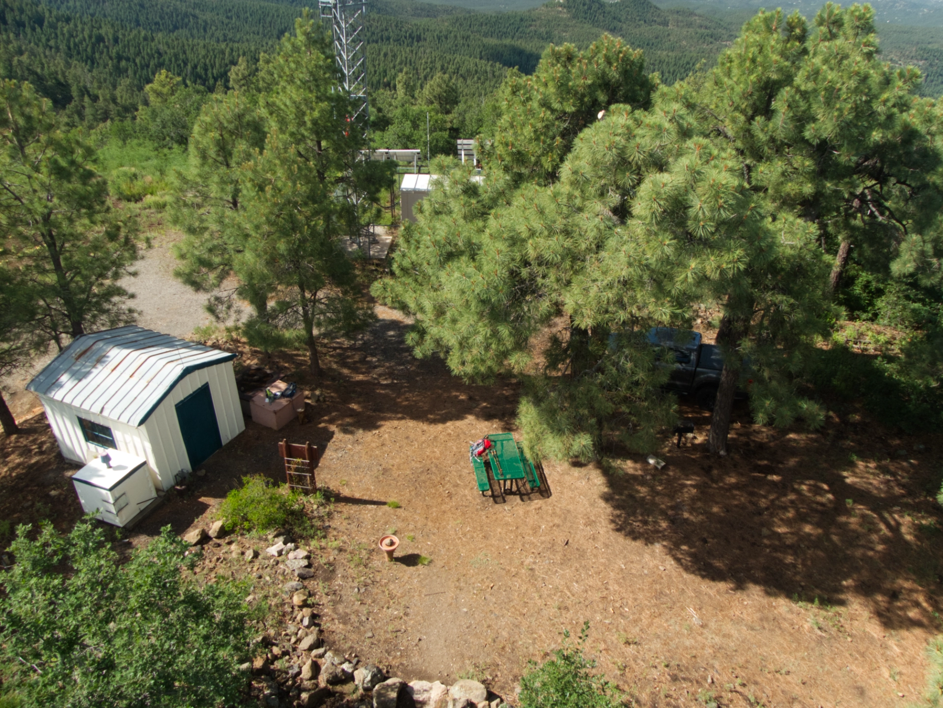
A lovely backyard, very nicely kept.
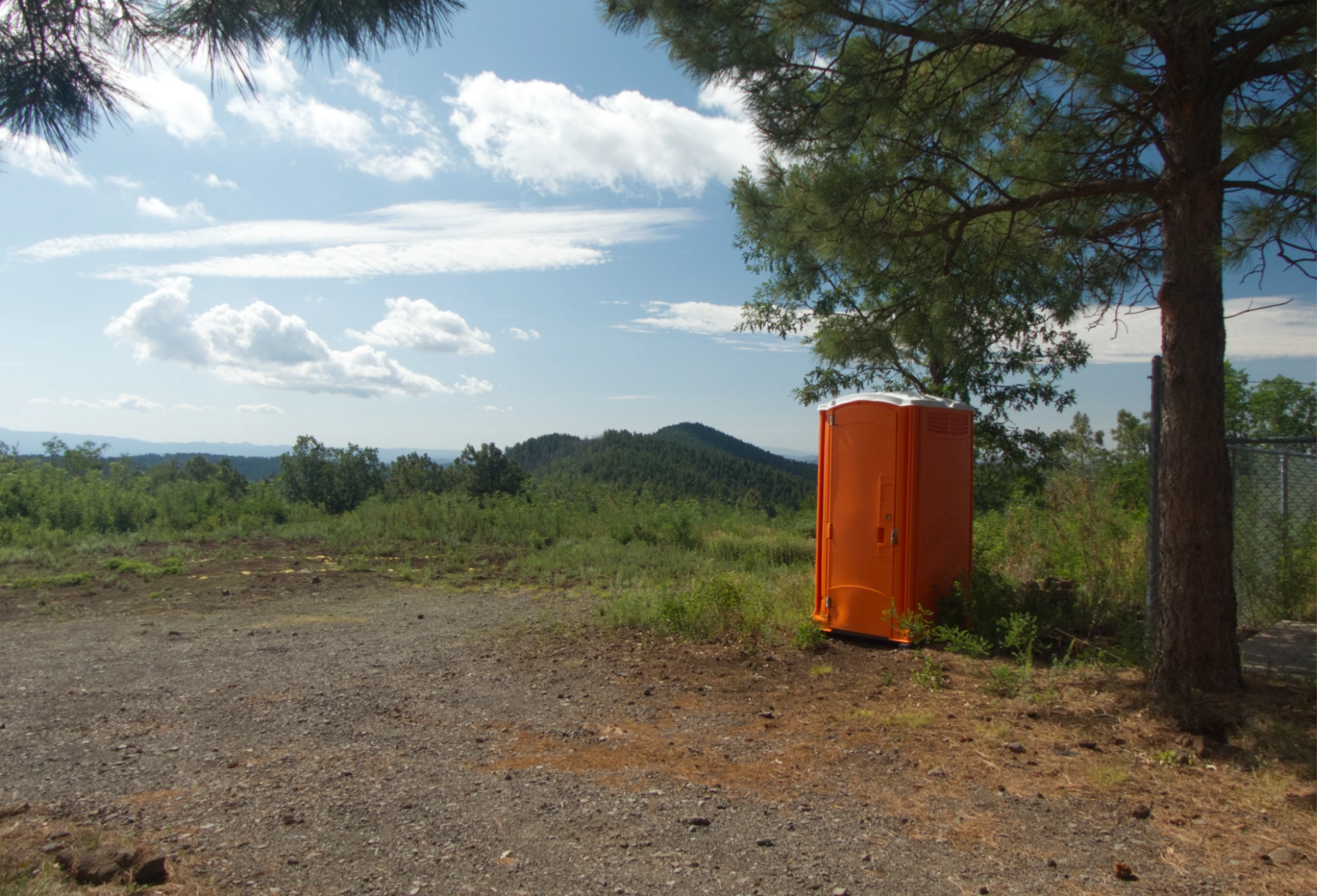
Yes, it's just a port-a-potty, but I love the bright orange against the emerald green of the forest.
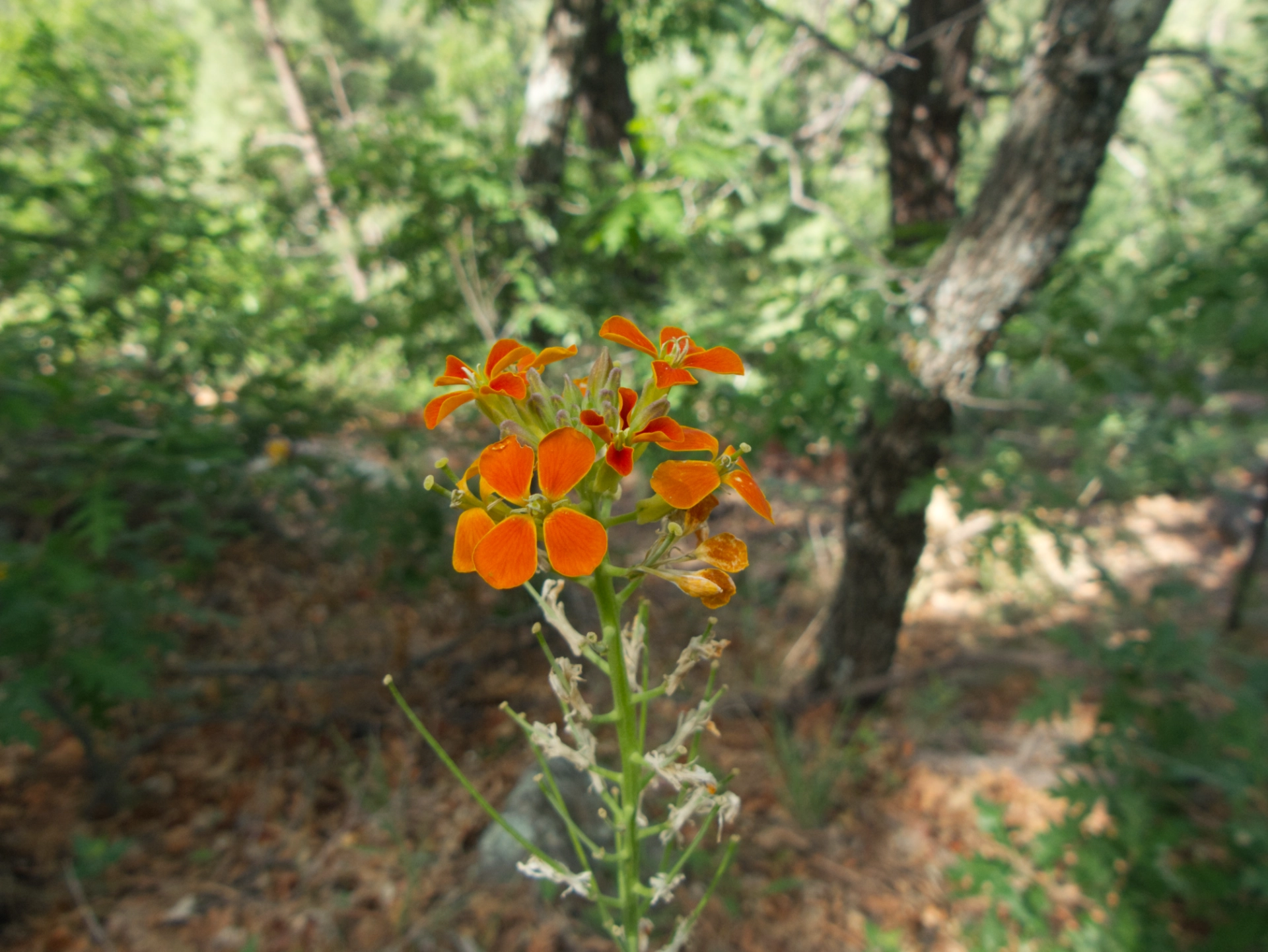
Western Wallflower.
Thanks Jim (and Smoke!) for allowing us to visit! And thanks to #GilaHikersNM for accepting the challenge! Signal Peak is our new favorite summer hike!
