30 Miles on the Middle Fork Gila River
May 23-26, 2024
Day One: TJ Corral to Base Camp
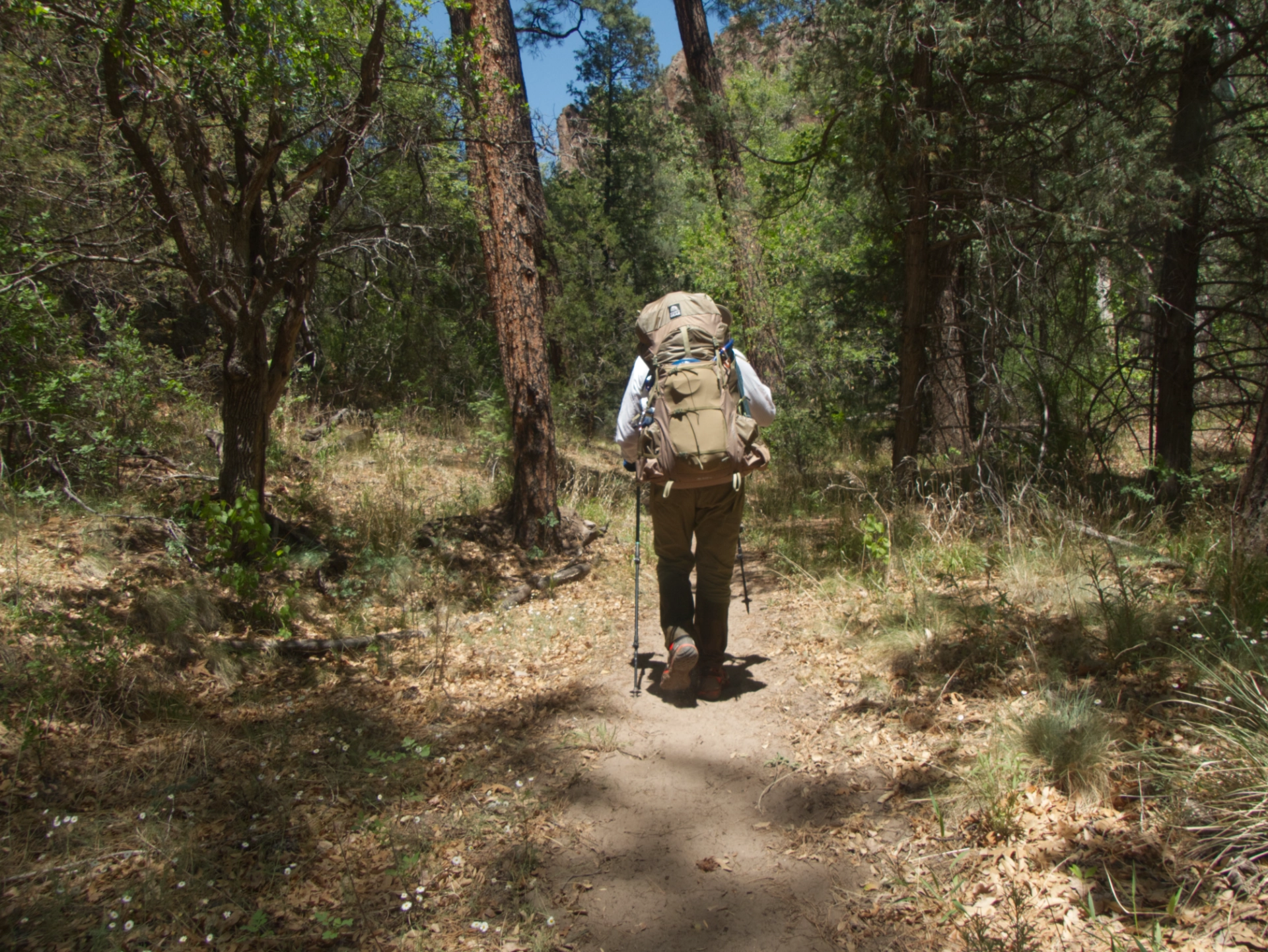
Because we are spoiled rotten by living so close to the Gila, for our second backpack of the year we opted to skip the long hot water carries and maximize our time on the Middle Fork Gila River. So we hatched a plan to start at TJ Corral, hike up the Middle Fork past Middle Fork Warm Springs, and establish a base camp. On day two, we'd attempt an out-and-back to The Meadows. Day three, retrace our steps to the confluence and continue down the Middle Fork toward the old visitor center, and either hike all the way out or camp one more night.

We met Ken at 9:00 am at the old visitor center and then dropped off another vehicle at TJ Corral. The long slog up the ridge — 1300' in two miles in full sun over broken bits of dark basalt — was just as bad as we remembered.
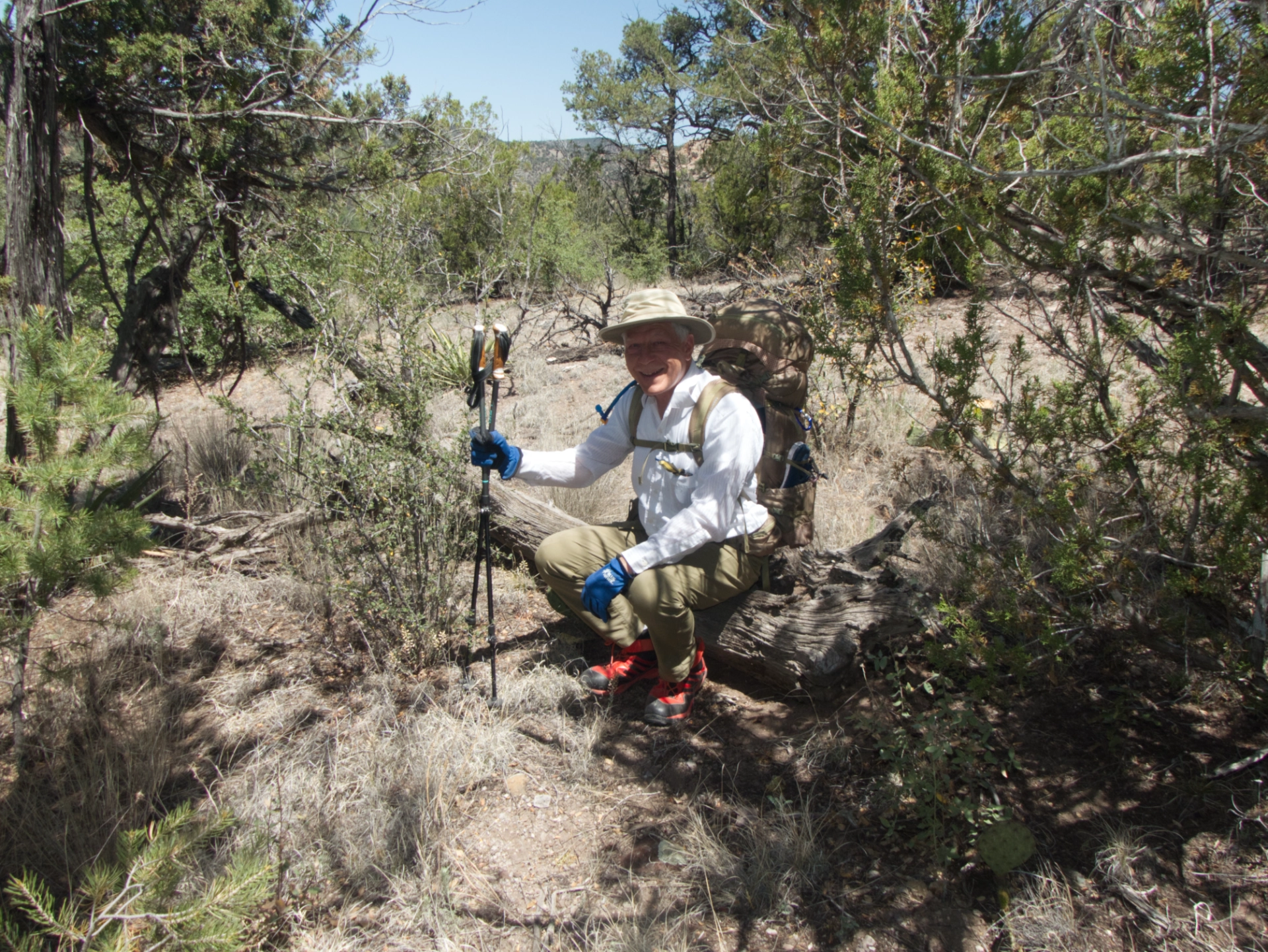
We stopped for lunch at the top of the rise, where the trail begins the descent into Little Bear Canyon. Dennis and I wandered a short distance downhill to pay our respects to the log where we sat out a violent lightning and hail storm on our first anniversary 17 years ago.
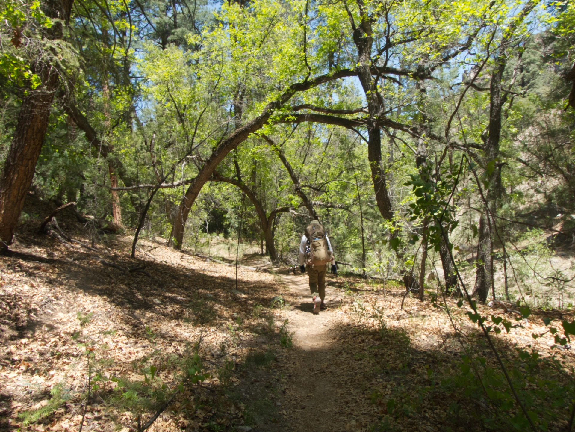
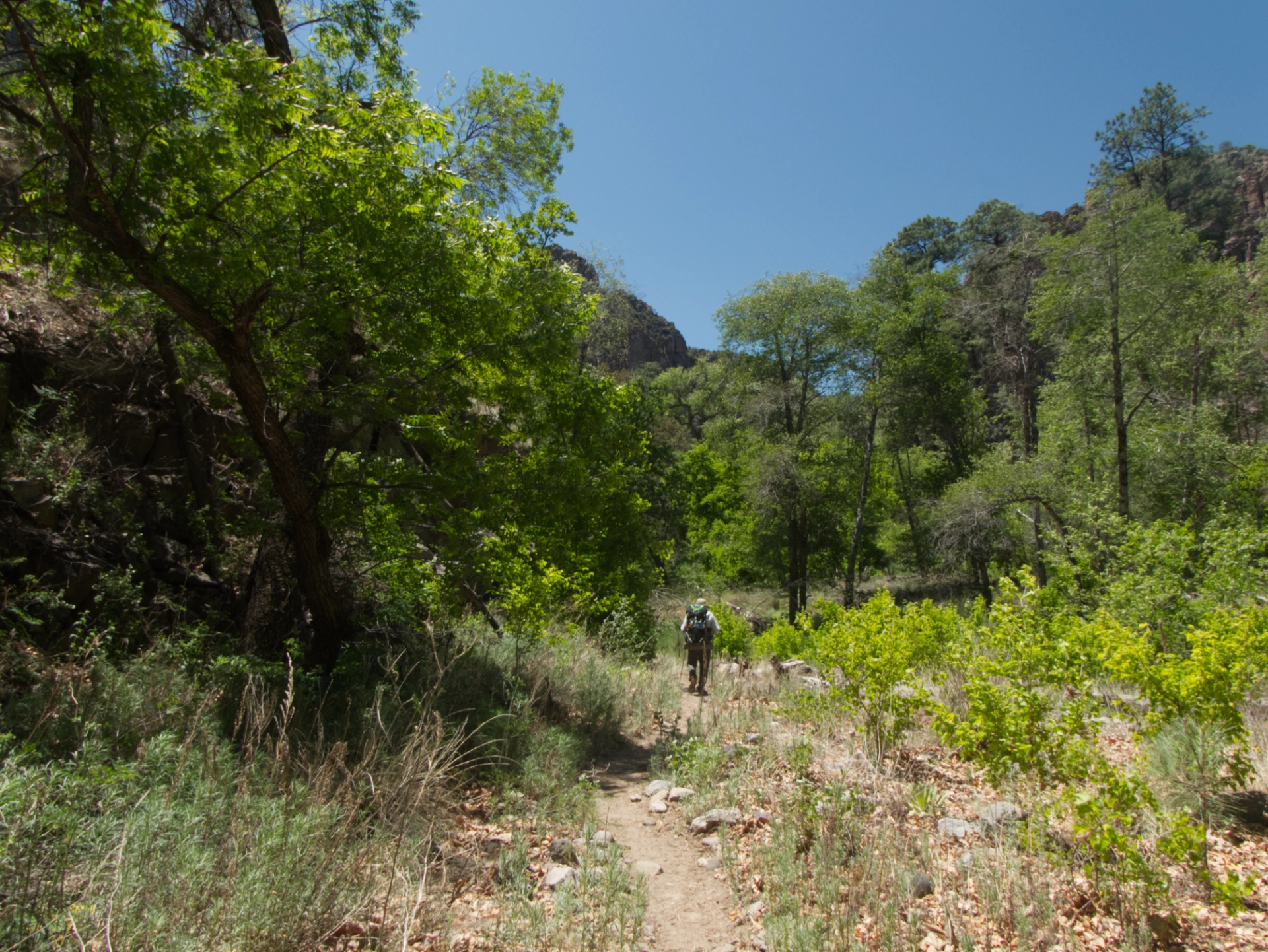
From there the trail winds downhill into a sandy wash shaded by towering Ponderosa pines. Another half mile and the cliffs rise up to form a narrow slot.

A tiny waterfall in Little Bear Canyon, a gift from the gods!

Like magic a tiny stream percolates to the surface, gathers momentum, and eventually waters a profusion of columbines ...

... and seep monkey flowers.
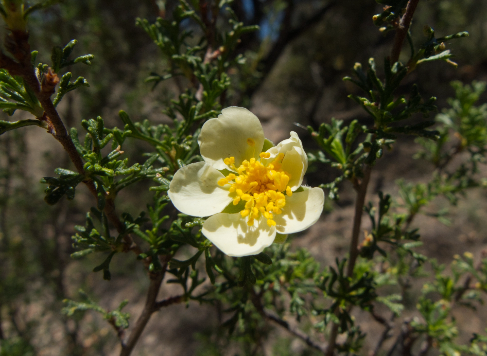
Stansbury's cliffrose
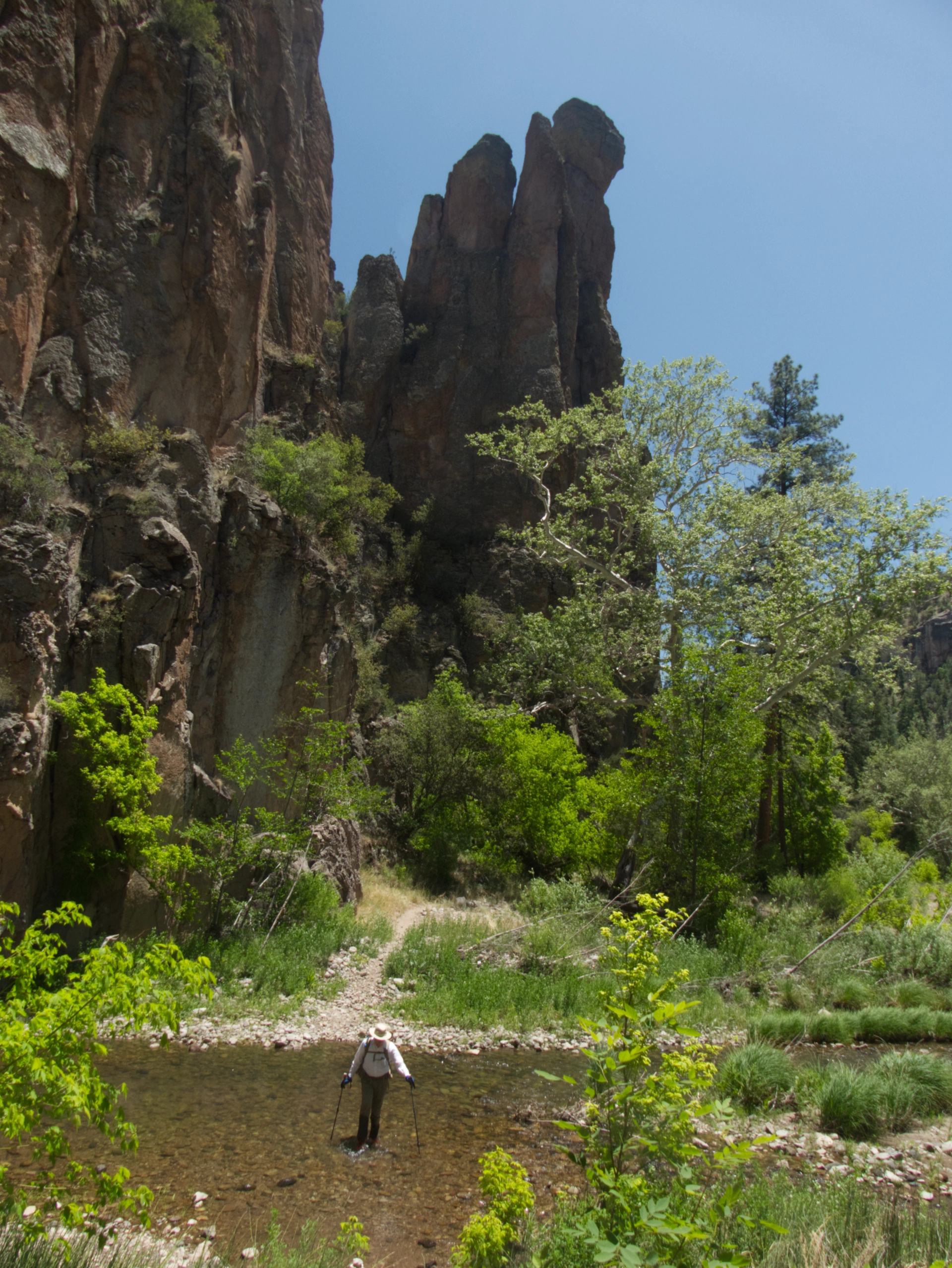
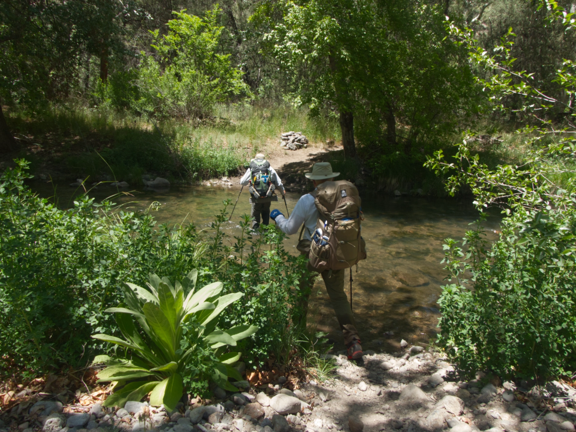
At 4.25 miles, we reached the confluence with the Middle Fork Gila River.
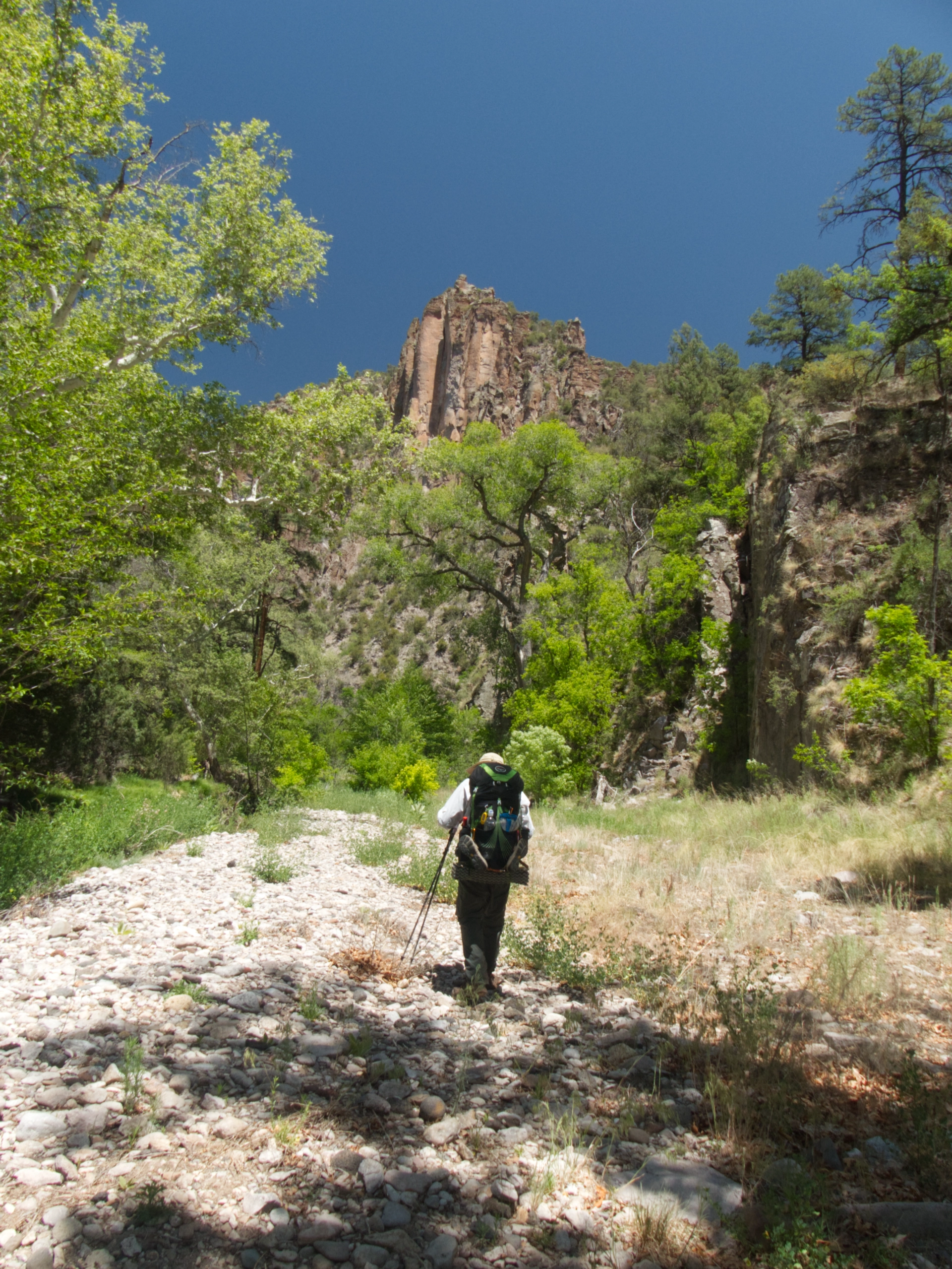
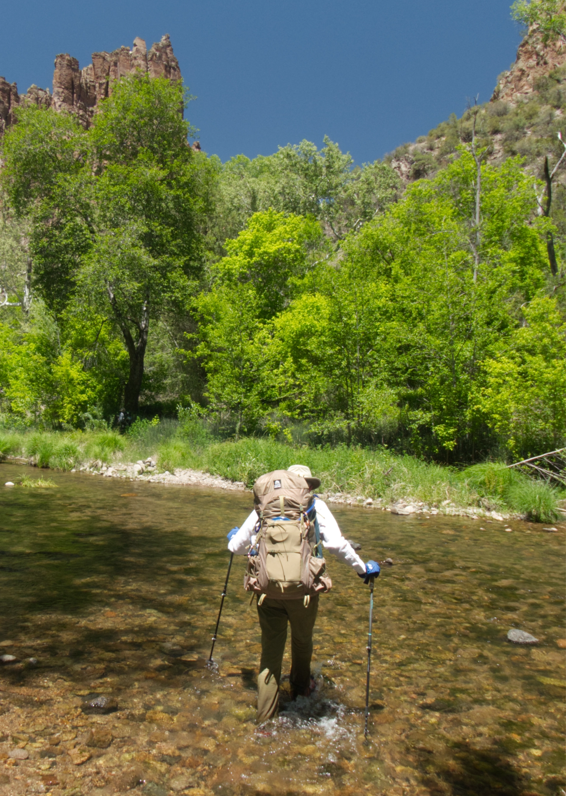
For the next three miles, the trail meanders dreamily through dense forests and open meadows, crossing the river 15 times before it reaches the Middle Fork Warm Springs (aka Jordan Hot Springs).
The streamside vegetation is incredibly lush.
We waded through fields of waist-high New Mexico raspberry, wheat grass, canyon wild grape, foxtail barley, sweetclover and horsetail.
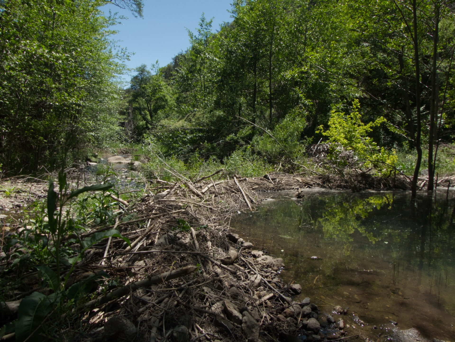
The beavers are taking back the Middle Fork! They have dammed many sections of the river, necesitating some trail rerouting.

There were three fully clothed couples from Texas in the pool, but they cleared out quickly and we had it to ourselves for a most pleasant soak. Then it was back on the trail to look for a campsite well away from the expected holiday weekend crowds.
Past the warm springs campsites were few and far between, and we were struggling with the heat and the weight of the fully-loaded packs.
We were lucky to happen upon a fine campsite next to the river but hidden from the trail about a mile upstream.
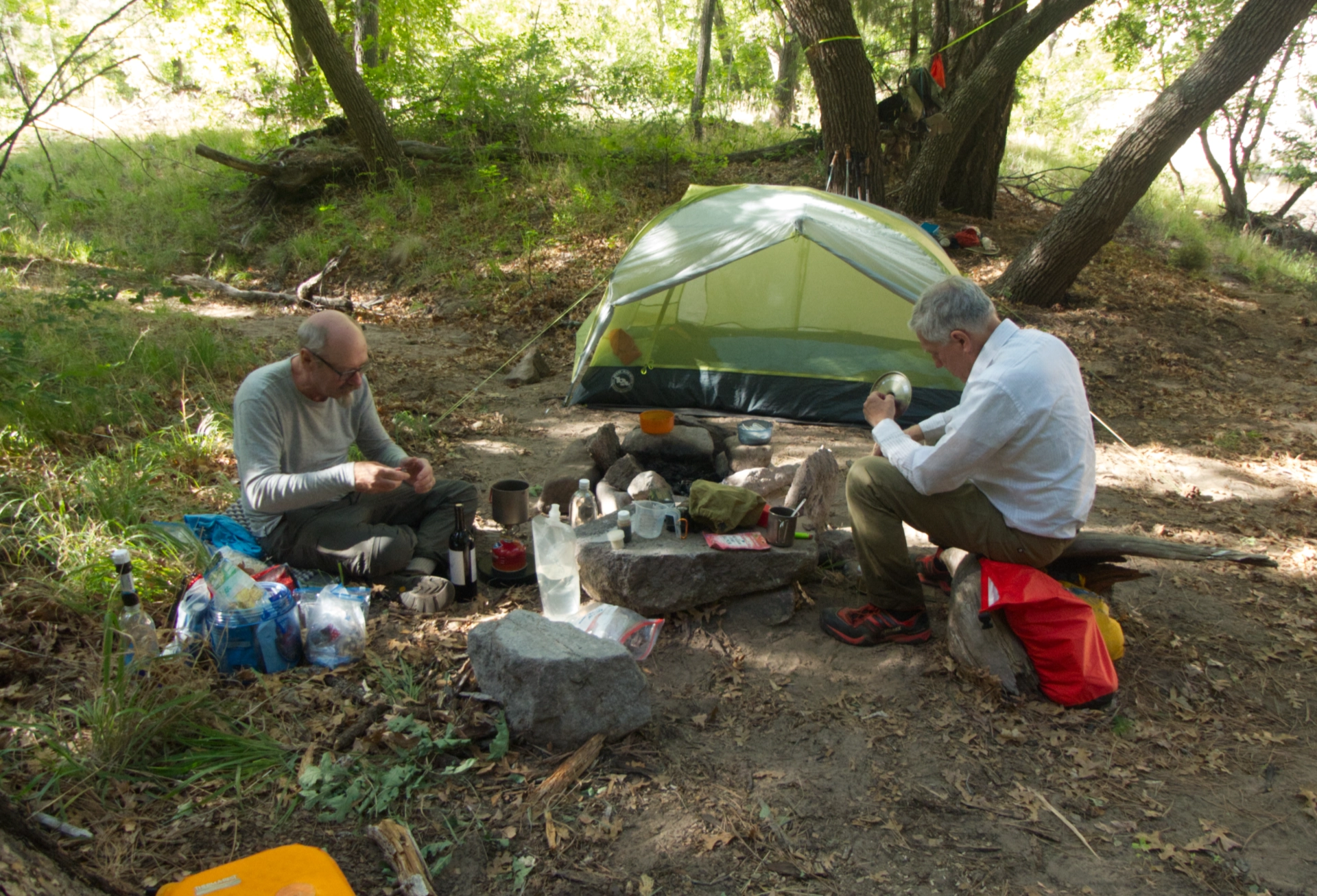
Men making dinner. Now this is the life! A possible title for this trek: "Rendezvous with Ramen". Daily Mileage: 9.0
Next