"Camping" with the "Kids" in the Gila National Forest
April 15-17, 2016
One of our new favorite backpacking trips is along a permanent stream in a remote section of the Gila National Forest. The stream drains a large area, has several significant slots and is extremely flood-prone, especially since the Silver Fire of 2013 razed 6700 acres of upland forest. After calling several trips on account of heavy rain, we finally made it into the canyon in September, 2015. We were duly impressed by a mile-long slot that cuts through a dazzling variety of geologic formations, forming a layer cake of bronze granite, ruddy rhyolite, black basalt and pale yellow tuff. Successive floods have torn through the area, erasing the mining community that popped up here in the late 1800s, but also cutting away the banks to expose massive stone foundations and huge chunks of twisted metal.
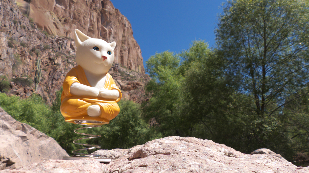
When our sorta son Josh and his sweetie-pie Carole suggested we take a trip together, we immediately proposed a return trip to the creek. We (I) somehow scheduled this trip back-to-back with a three-day backpacking trip with clients to Aravaipa Canyon ... what was I thinking?! But I consulted Buddha Cat, our mascot, who wisely suggested that I stay in the moment instead of dwelling on the past or dreaming of the future ... isn't that always the best option? And besides, is there really such a thing as too much backpacking in a lush Southwestern canyon in the spring?

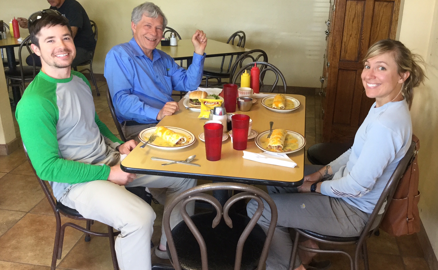
The Aravaipa trip, thankfully, we squeaked in just after an unusual April rainstorm. We weren't quite so lucky the next time out. Friday morning was cold and blustery, with occasional patches of sun whose warmth was tempered by winds gusting to 45 mph. We fortified ourselves with lunch at the Alma Grill — the breakfast burrito with chicken and green chili is the bomb — then continued our drive to the trailhead.

Where the canyon briefly flattens out a bit, there a large clearing with a few fruit trees, rusty chili roaster and old stove parts, and other signs that this was once a well-tended home site. We set up our base camp here, anchoring the tent to big stones, and slept fitfully while wind gusts came shrieking up the canyon, threatening to tear our tiny nylon shelter to shreds.
I didn't know what to expect farther up the canyon, since the clearing was as far as we ventured on our first exploration of the canyon. Was I in for a surprise! Instead of flattening out into a featureless boulder field, the canyon waxes and wanes as it gains elevation, and the parti-colored walls give way dark and tortured volcanic rock broken up by a dense forest of Fremont cottonwoods and Arizona sycamores.
There was also far more evidence of past mining activity than we ever imagined, including dozens of adits — some closed, some open — along with collapsed head frames, a old steam boiler and the ruins of substantial buildings.
At yet another perfect camping spot, we wolfed down our lunches and reluctantly turned back. The canyon gains elevation rather rapidly, and at 6000 feet we were inside a damp cloud, being pelted by spitting sleet and rain.
Back at camp we warmed up with a roaring fire and red wine. Dennis brought the radio outside so we could chat with our buddy Doug in Tucson.
Of course the next day was warm and sunny, but it was time to go home. We are looking forward to further explorations of the canyon in warmer, drier weather.
