The Great Northern New Mexico Loop
July 15, 2021
Mount Taylor to Angel Peak
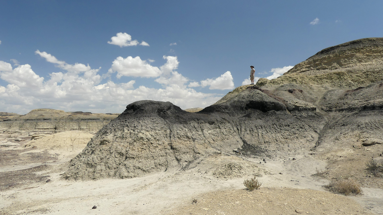
West of Grants the mesas rose up, turned deep red and then flattened out and faded as we entered the land of endless sky. NM 371 is a meditation, featureless and eerily beautiful at the same time. We passed the time chatting on the FRS radios about Ann's experience working with Navajo weavers in the area. Lunch time found us at Bisti/De-Na-Zin Wilderness, where even the searing heat could not stop us from wandering into the charred and contorted black-and-white dunes for a couple of snapshots.
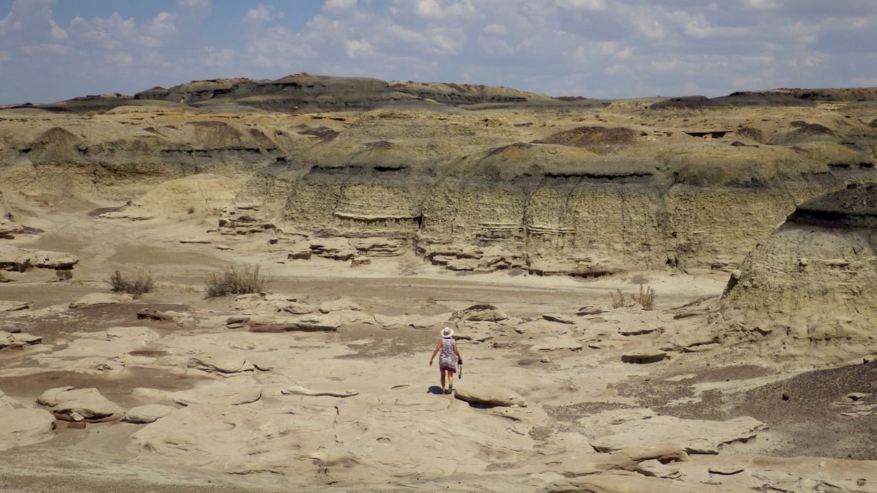
Translated from the Navajo word Bistahí, Bisti means “among the adobe formations."
From Wikipedia: "The area that includes the Bisti/De-Na-Zin Wilderness was once a riverine delta that lay just to the west of the shore of an ancient sea, the Western Interior Seaway, which covered much of New Mexico 70 million years ago."
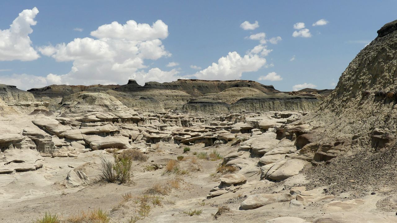
Bisti/De-Na-Zin is one of four protected badlands in the Four Corners area.
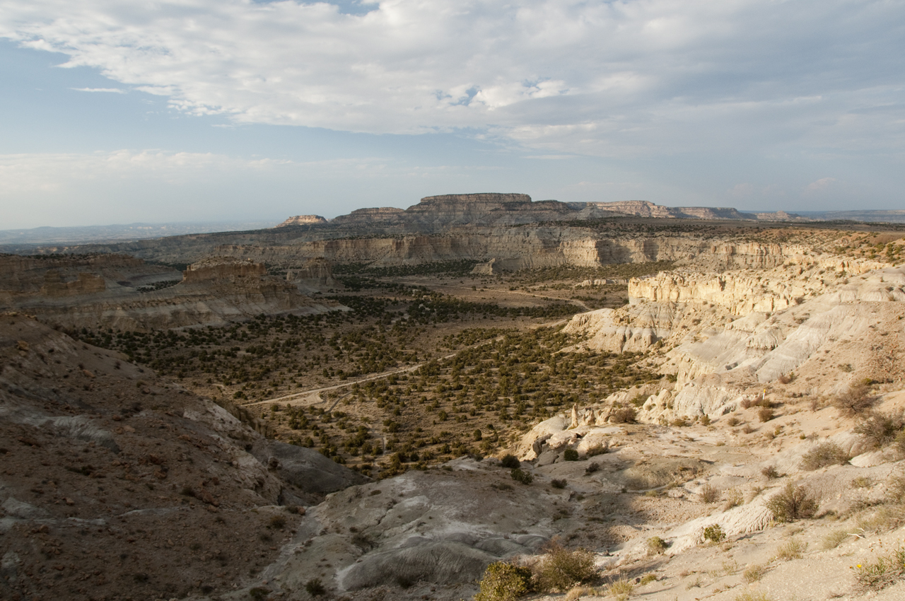
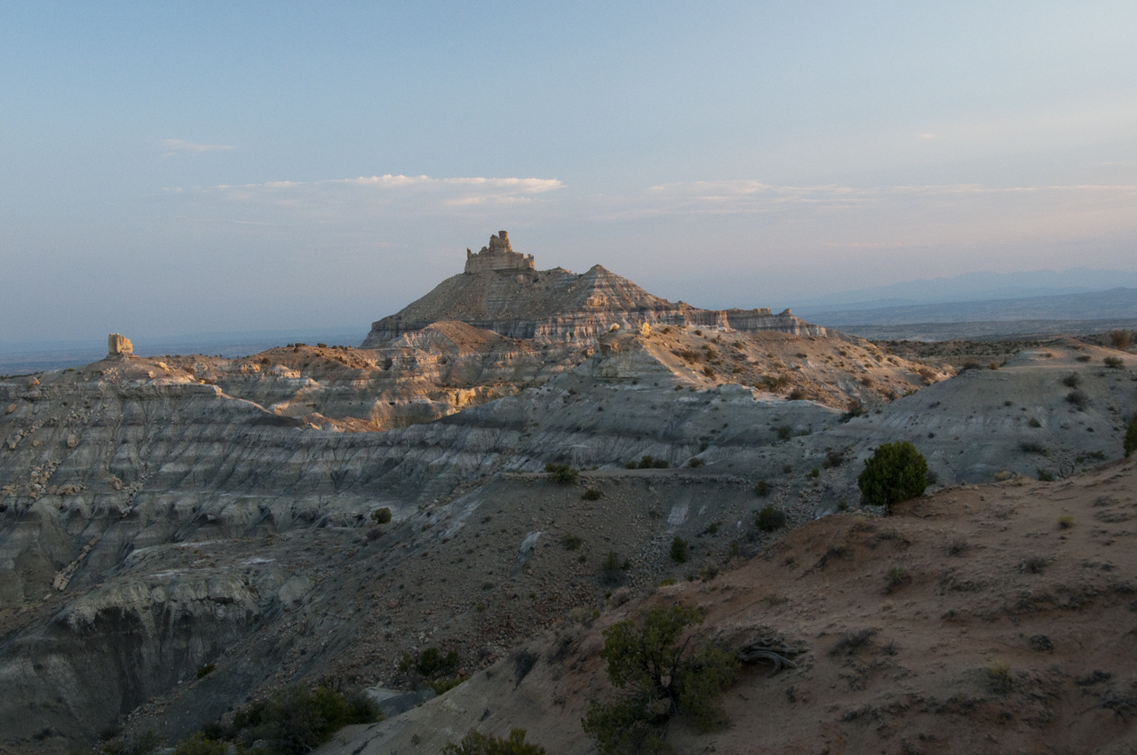
That evening we'd explore another one of the four, the Angel Peak Scenic Area just south of Bloomfield, New Mexico.
None of us had ever heard of Angel Peak, so we were astonished to find ourselves on a denture-rattling gravel road that runs along the edge of a canyon reminiscent of Coal Mine Canyon, with its rainbow-banded hoodoos.
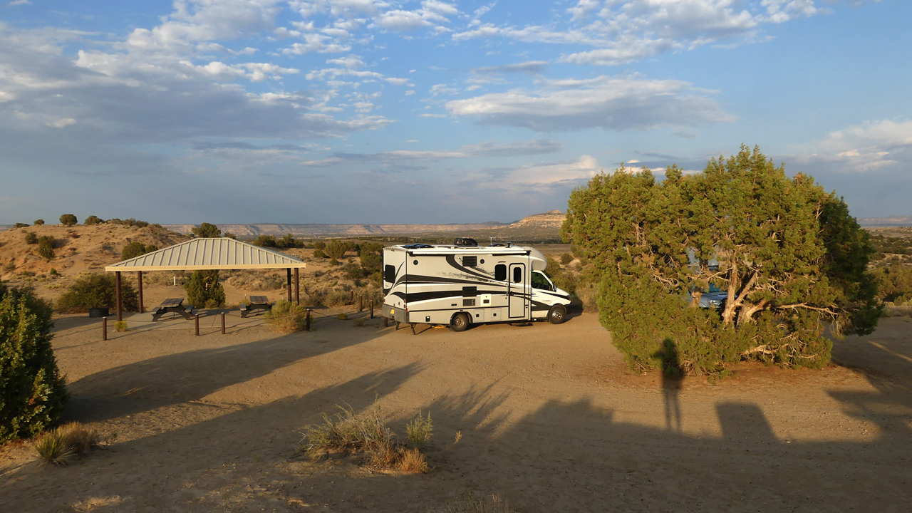
Managed by the BLM, the area offers free primitive camping and some very nice, new ramadas.
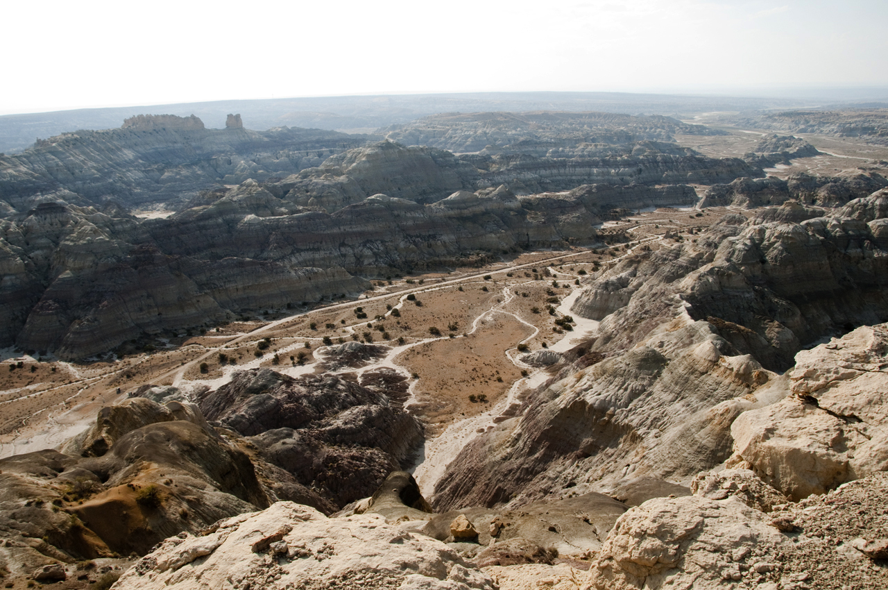
They were almost certainly exchanged for the right to pepper the canyon floor with countless oil and gas wells.
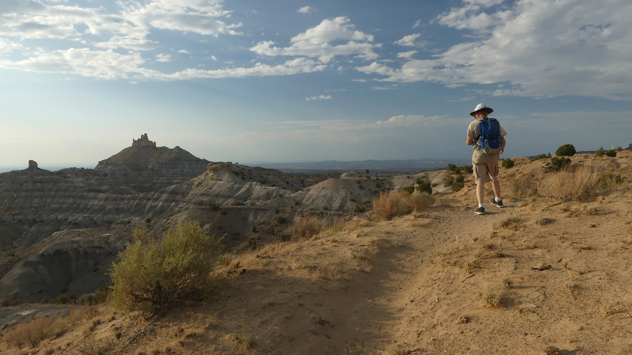
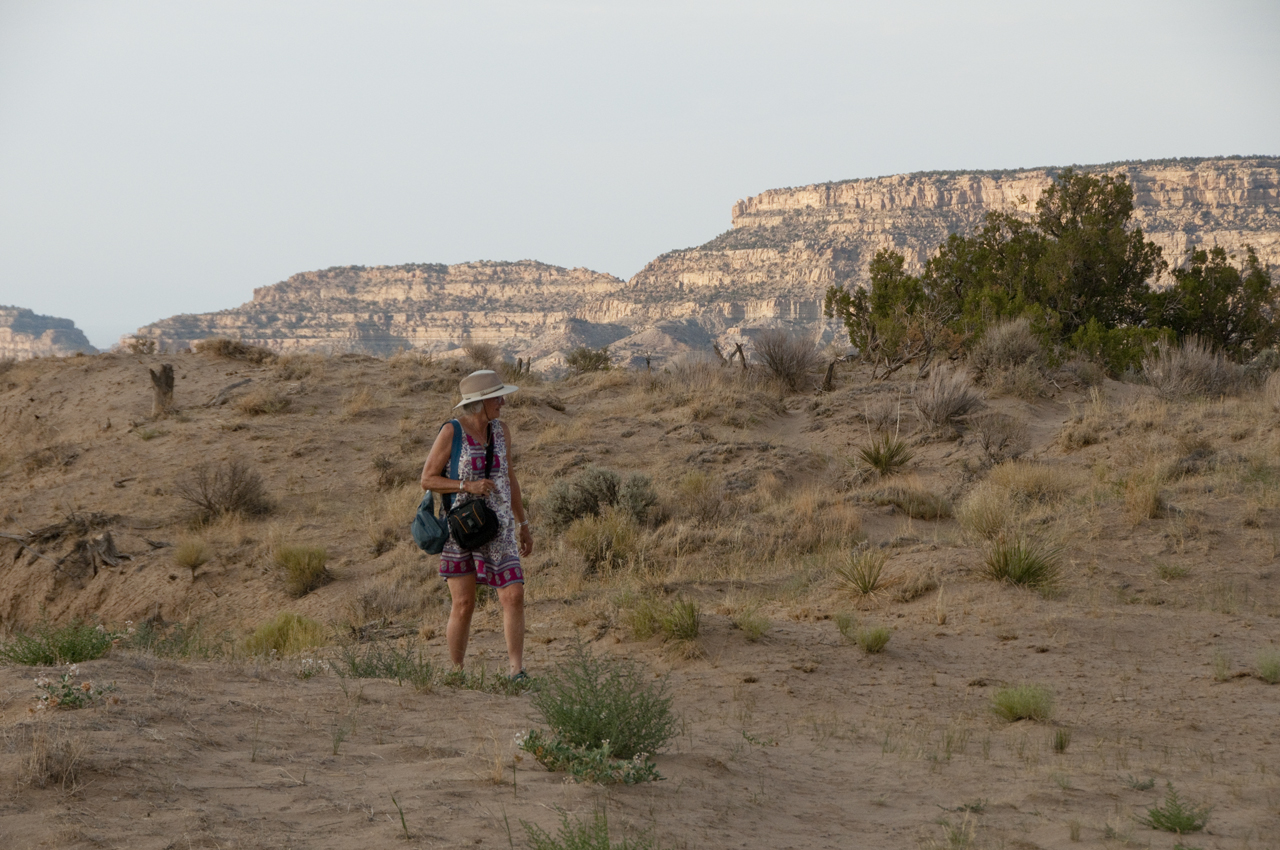
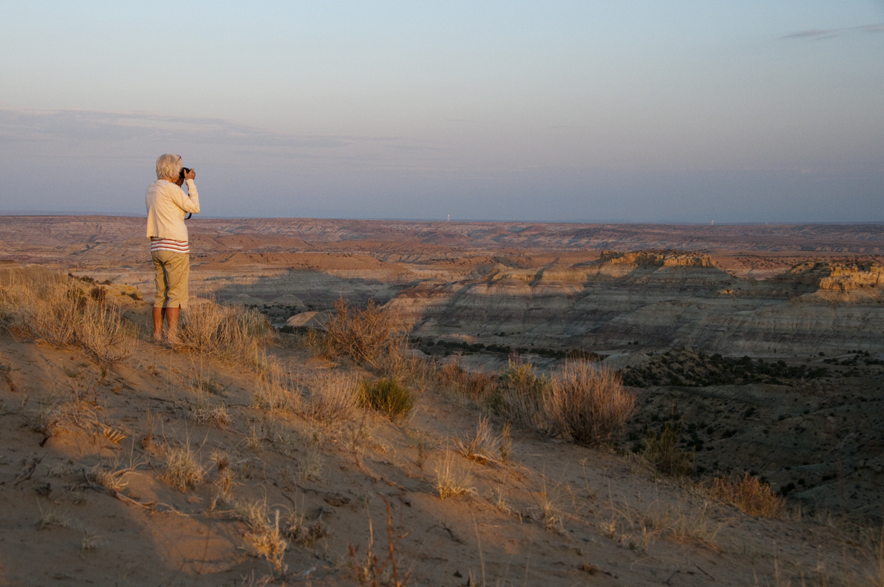
Never mind, the cool and dry desert air was a welcome relief after the heat of the day. We took a short hike at sunset to an overlook of Angel Peak.
Our campsite from a distance.
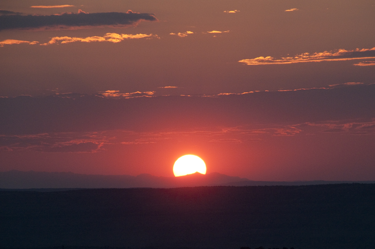
We returned before dawn the next morning to capture the sunrise.
One of many, many photos we took that morning.
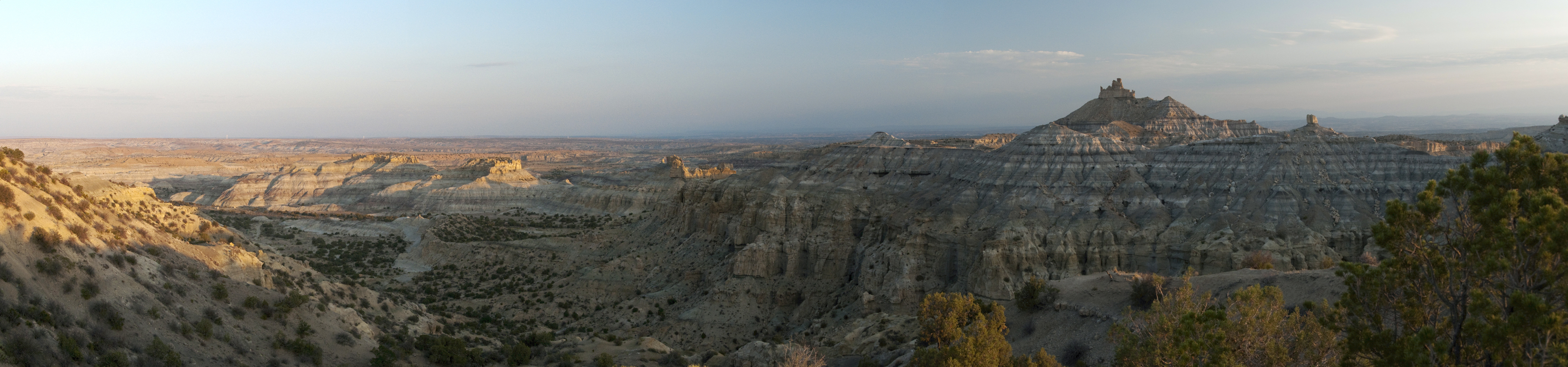
Scroll for a panorama!
Previous Next