The Plains of San Agustin, Valley of Fires and the Trinity Nuclear Site
March 30-April 2, 2017
I read maps like some people read books, so my eye was drawn to a large open plain just north of the Gila Wilderness. The
Plains of San Agustin stretch for about 50 miles, with a width varying from 5 to 15 miles. Within this area lie, according to one
observer, "all things strange and wonderful".
The high-altitude basin was created by a Pleistocene lake that occupied the area between 11,000 and 23,000 years ago.
At the height of the Ice Age, the lake was more than 250 feet deep. As the
ice melted, the lake level dropped precipitously, and by the time humans occupied the area 13,000 years ago, the lake had
been replaced by several seasonal playas.
Beginning in the 1940s, archaeological excavation of a series of caves along the shore of
the former
lake provided evidence of some of the earliest cultivation of crops including maize, squash, beans, sunflowers
and other edible wild plants.
Nearby Pelona Mountain is also the site of a theoretical alien landing. In 1947, a local farmer reportedly found bodies of four
aliens near a crashed flying saucer, and according to local legend, the area was cordoned off and the military
escorted everyone off the site after warning them not to talk about it.
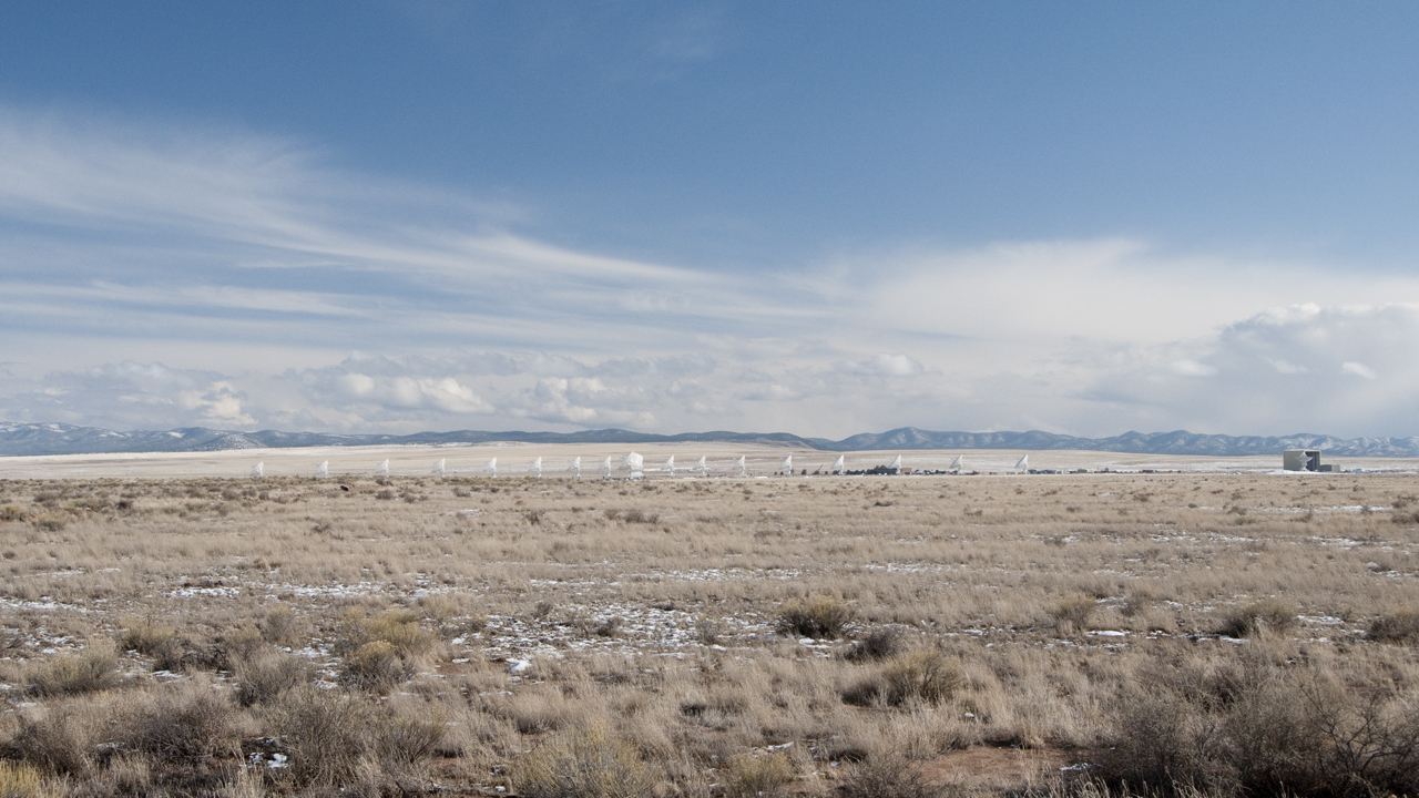
Enhancing the other-worldy nature of the San Agustin Plains is the remarkable presence of the Very Large Array (VLA), a collection of
27 radio telescopes that are used to observe both radio waves and light waves emitted by distant celestial objects.
The large parabolic dishes, each 82 feet in diameter, collect radio waves and transmit them to a control room where they can be combined with
information from other dishes in the array all aimed at the same place in the sky.
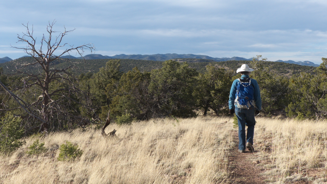
The plains are interrupted by a couple of low mountain ranges, and one such range —
the Datil Mountains — are home to
one of our favorite campgrounds. At 7400 feet, the Datil Well Campground is a cool refuge in summer, and a pleasant
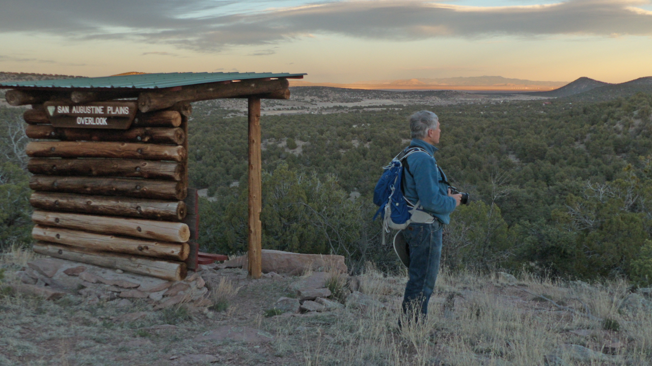
+3-mile-hike to the crest of a nearby ridge is the perfect sunset hike with a thrilling view of the Plains of San Agustin.Our next stop was the Valley of Fires near Carrizozo, a
lava field over 20 miles long and between four and six miles wide that is believed to be one of the youngest lava flows
in the Continental United States.The lava flow originated not from the prominent Lone
Mountain, visible in the sunset scene above, but from Little Black Peak, a cinder cone less than 100 feet tall near the north end of the flow.One of the main objectives of this trip was to finally
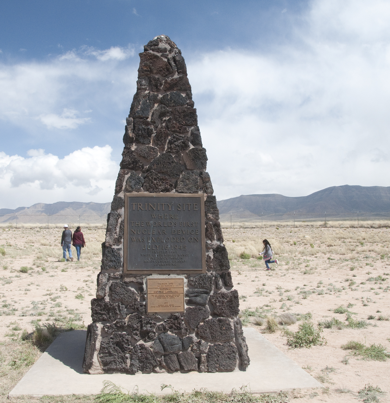
visit the Trinity Nuclear Site, which is only open to the public two days per year. There's very little to see
at the site — just a stone monument erected in 1965, and a shallow crater where the "trinitite" (a green, glass-like
substance created by the intense heat of the explosion) was bulldozed and buried. But the visit gave us an opportunity to research
the site's bizarre history. "Trinity" was the name given to the first detonation of a nuclear weapon on July 16, 1945. The test site was
within the Alamagordo Bombing Range (now the White Sands Missile Range). The project was implemented in great haste and in absolute secrecy —
so much so that
the test facility was accidentally bombed twice during construction. Just three weeks after the test, a nuclear bomb of the same
design was detonated over Nagasaki, Japan. Residents of nearby towns were not warned of the dangers of radiation exposure,
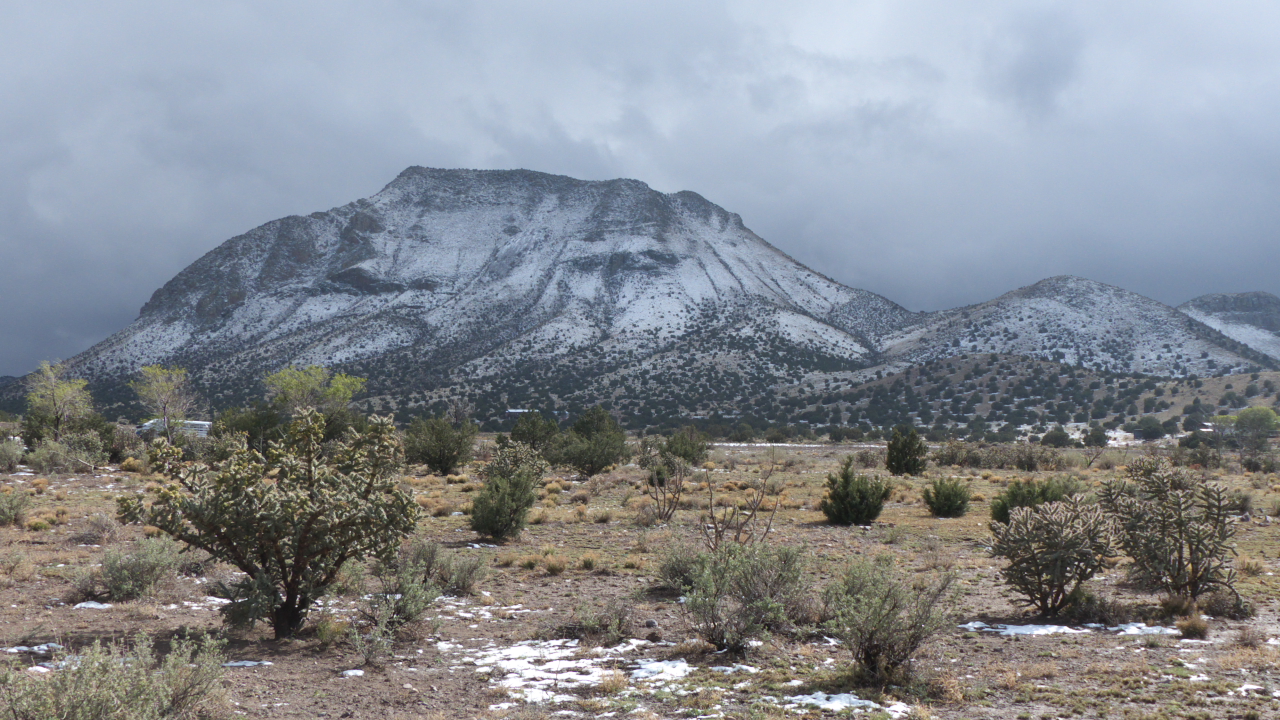
and many "Downwinders" peacefully protest at the gates of WSMR during the biennial open house.Heading home, we ran into a freak hailstorm near Socorro, and there was a dusting of
snow on the
ground near Magdalena.
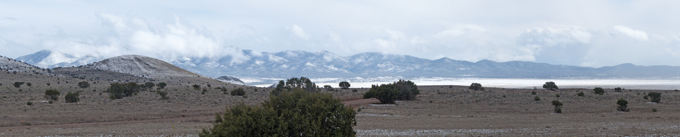
Scroll for a panorama of the San Agustin Plains under a gleaming mantle of snow.
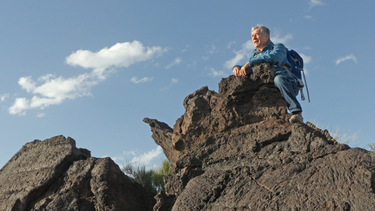
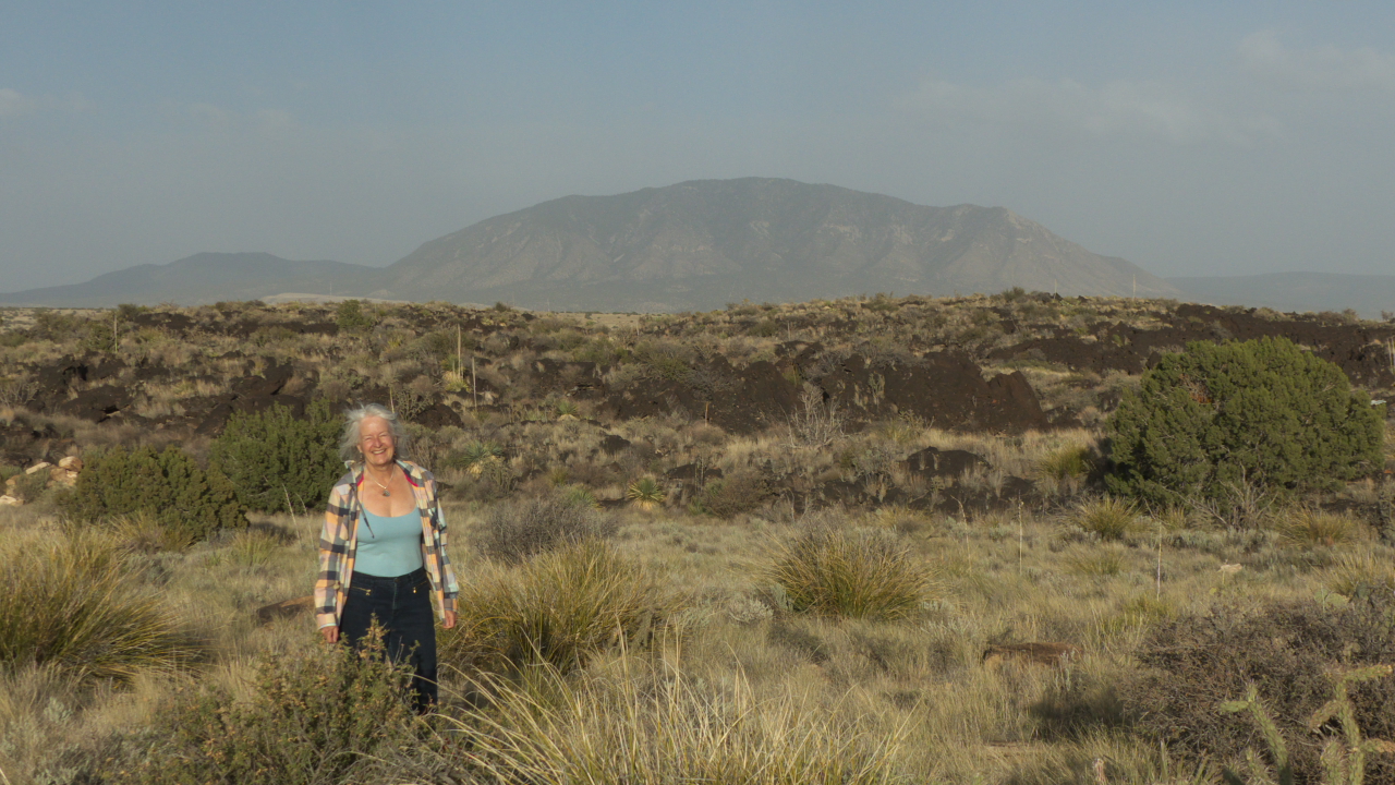
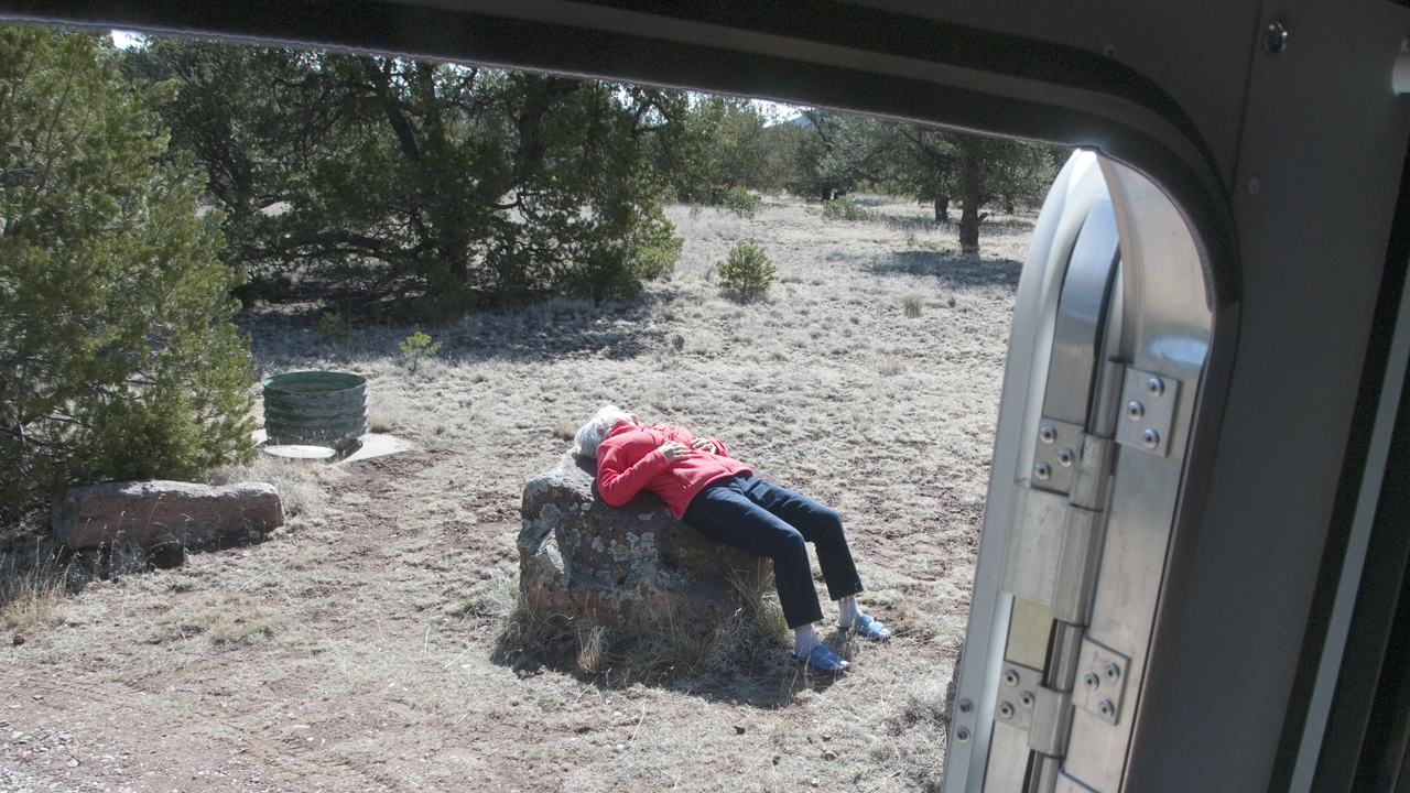
Catching some rays after a chilly night in Datil, with temperatures dipping into the mid-20s.
We ran the propane heater part of the night, but there was ice on the ceiling and our pillows froze to the walls!