Shelter from the Storm
Gila Lower Box and the Eastern Chiricahuas
November 5 - 8, 2024
As election day approached, the tension became unbearable. We decided to escape the news cycle by heading to the outback. Our original plan was a week-long trip with our buddy Ken to the Bisti/De-Na-Zin and Chaco. But as our planned date of departure approached, our weather shifted abruptly from late summer to midwinter. The forecast was calling for up to 6" of snow and temperatures in the teens! I moped around for a day or two, until Ken pointed out that the forecast for southwestern New Mexico and southeastern Arizona was actually quite good. We hatched a plan to spend a day or two in the Lower Gila Box area, and then move on to the Cave Creek area in Arizona.
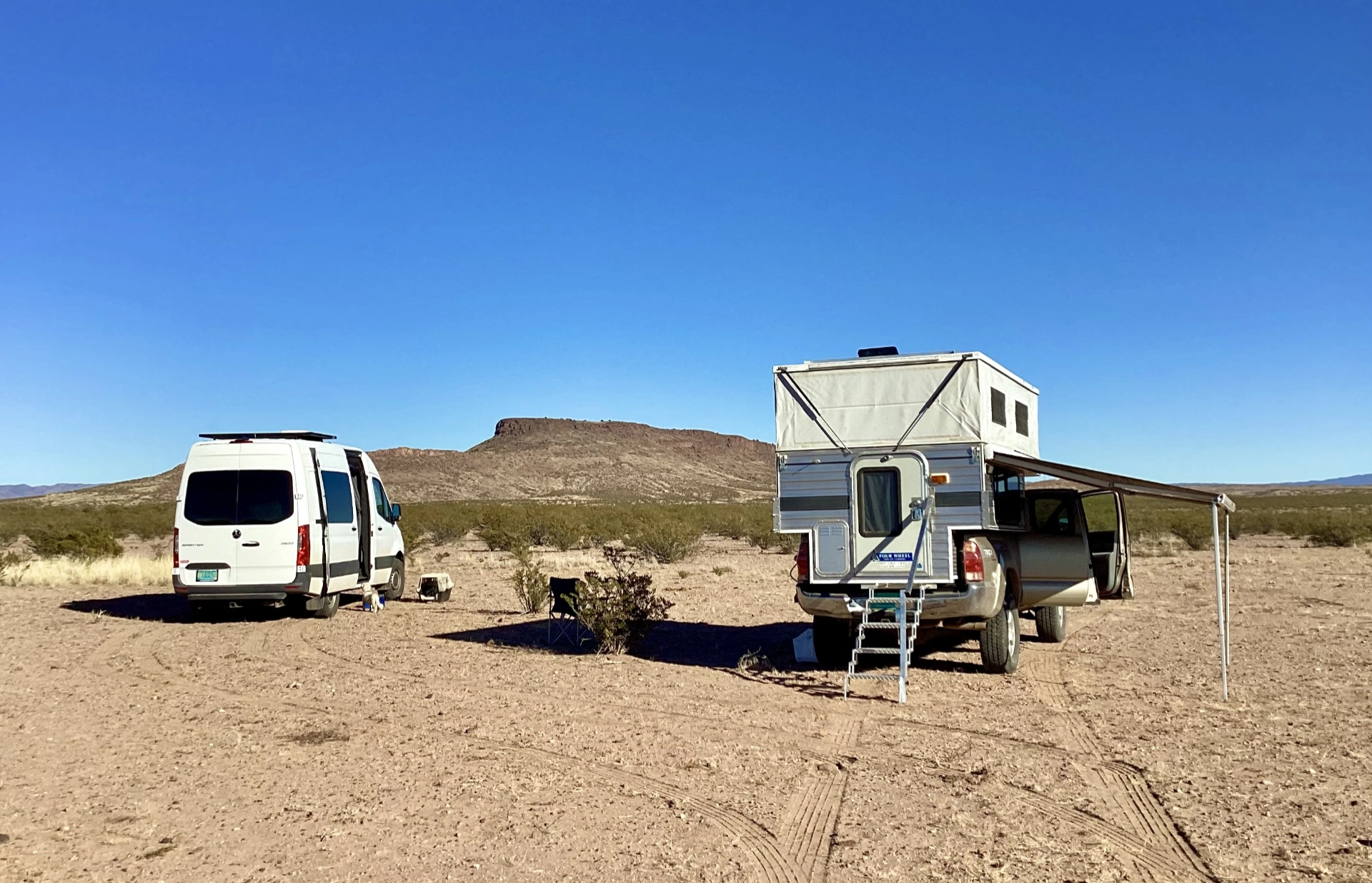
It's always a delight to camp in this little-visited area. You can usually count on solitude — we only saw one other vehicle the whole time — and there is something magical about these dry lands that sweep down to the astonishingly lush Gila River valley.
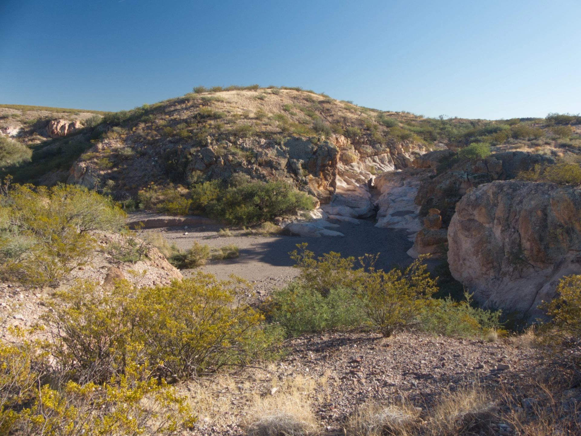
There was just time to check out the old road into Box Canyon. Interestingly, it drops in right next to an impressive collection of bedrock mortars.
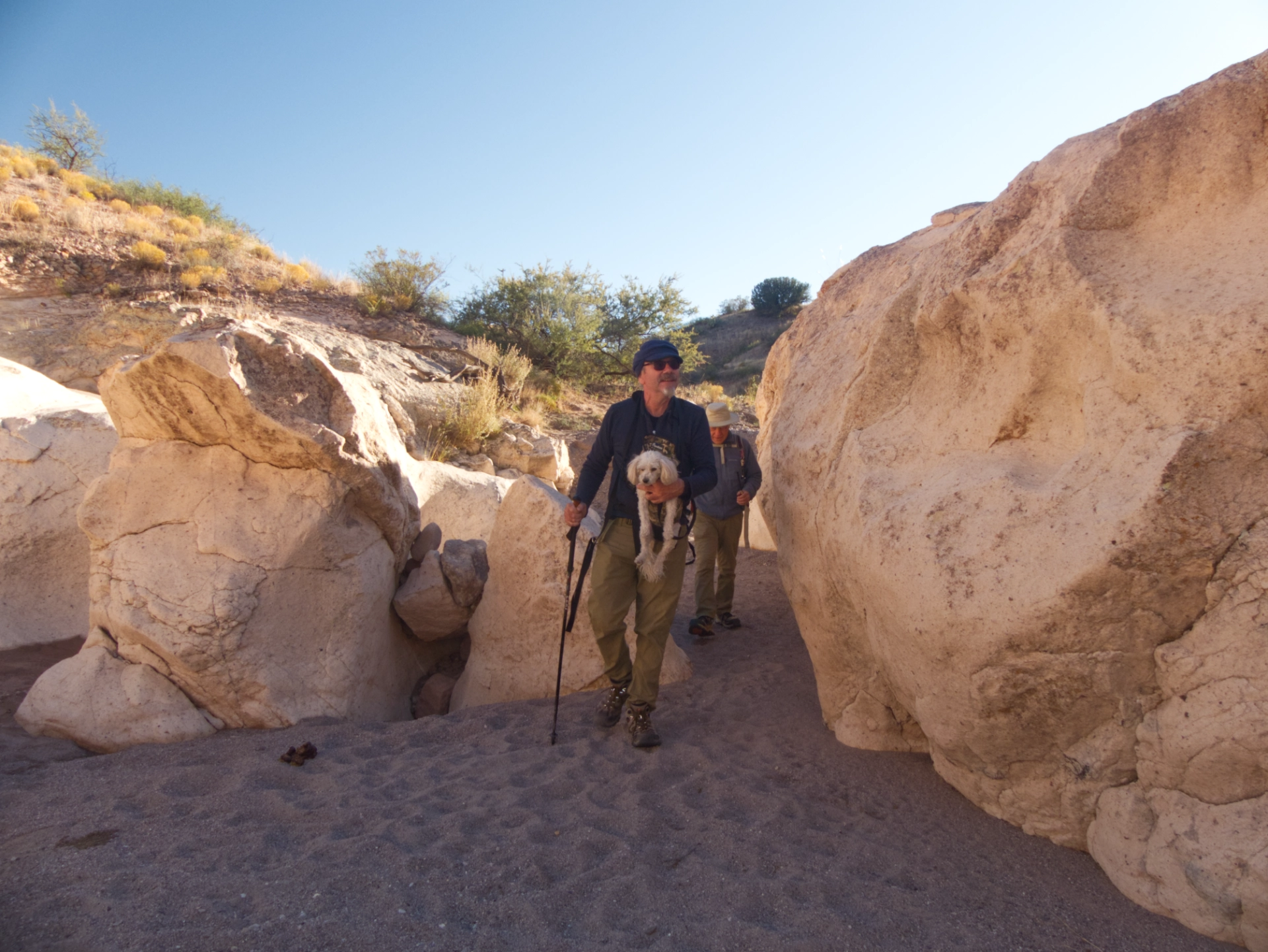
Entering the narrows.
On our first trip to Box Canyon in 2019, we had to scramble around a large deep pool. We've since hiked the canyon many times, and never encountered any water hazards. I wasn't even sure I could corrently identify where it used to be. But on this day, after one of the driest summers on record, it magically reappeared. Only this time there was no getting around it!
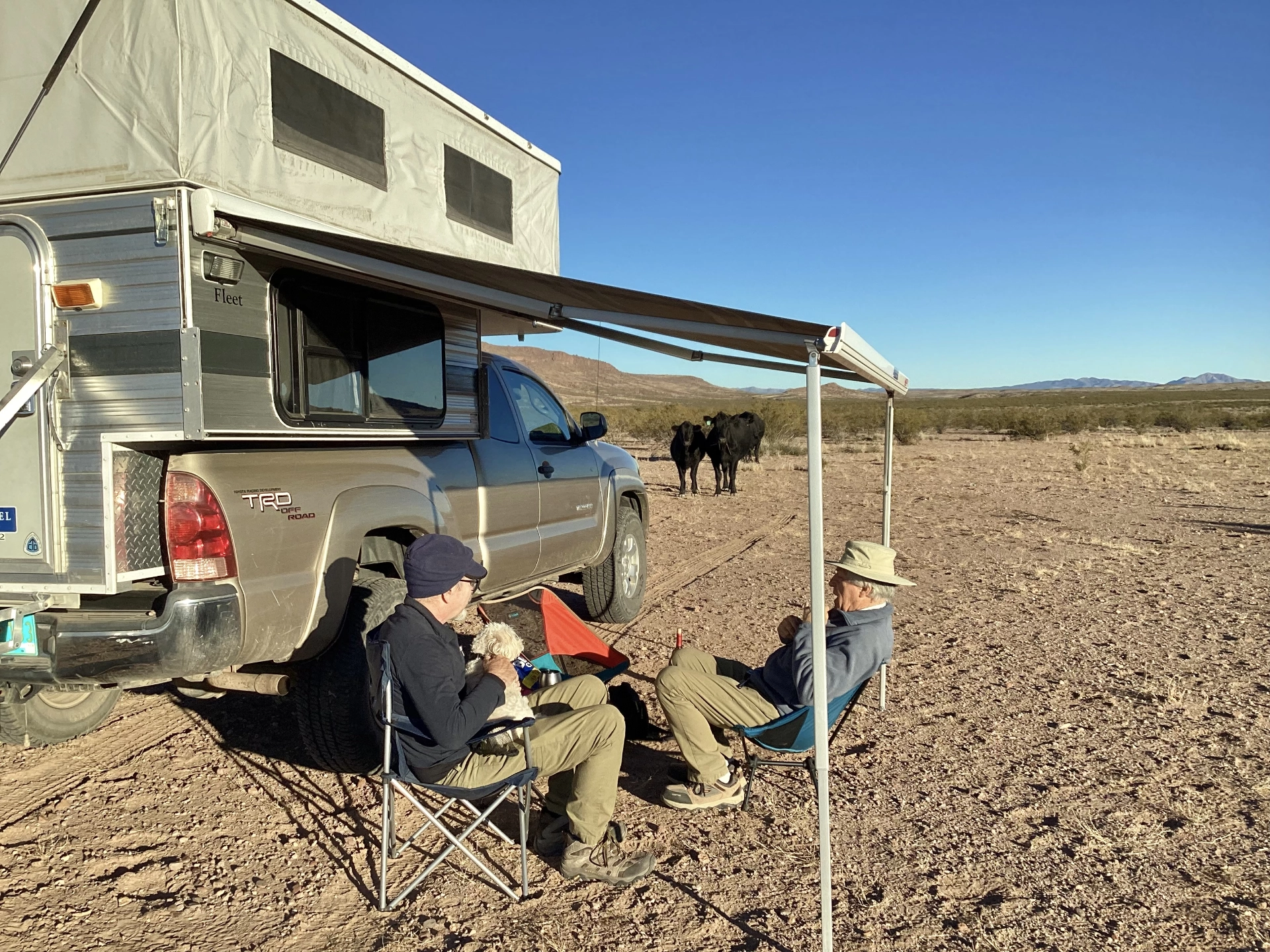
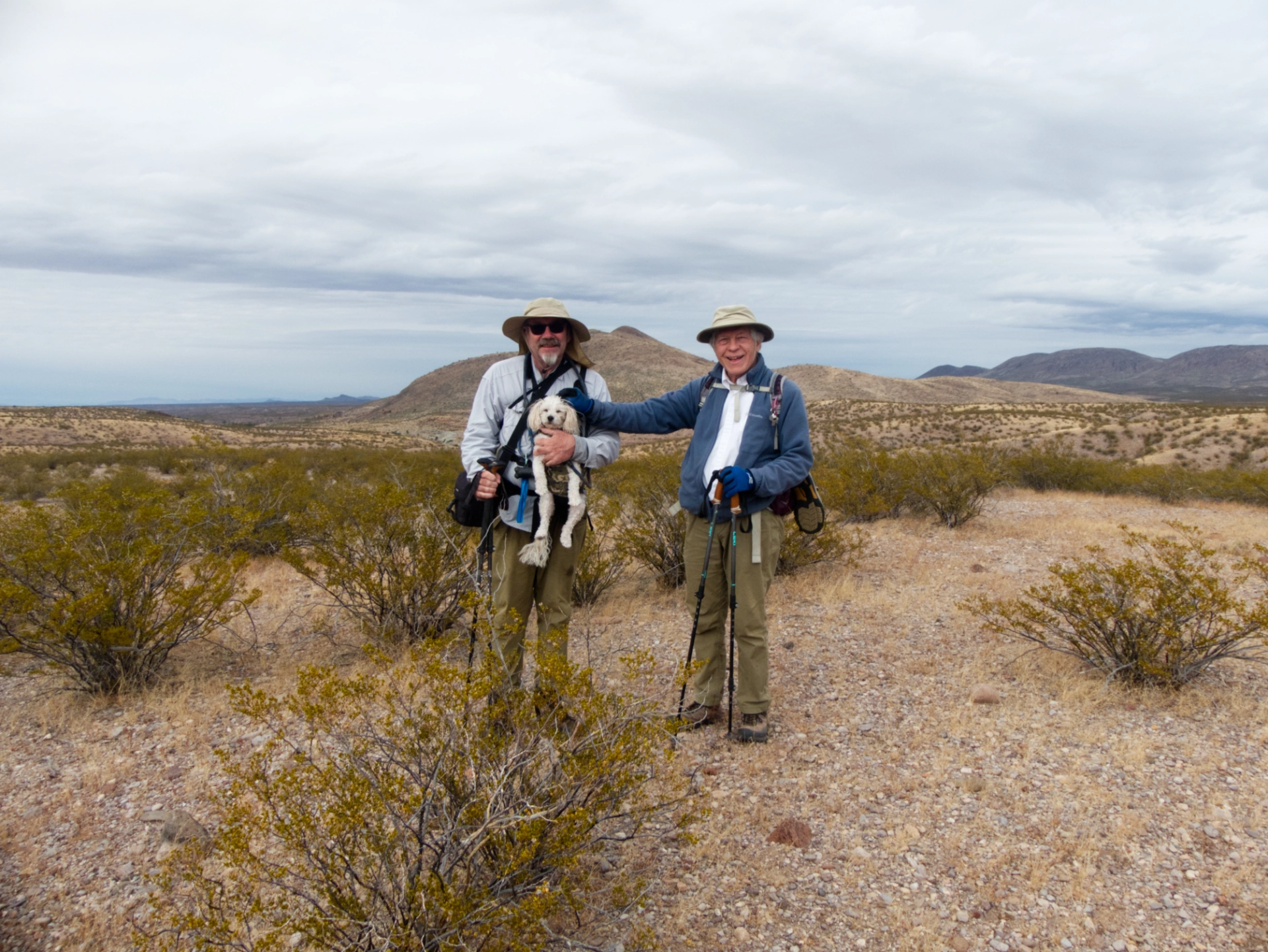
Happy hour in camp. A trio of Angus cattle were hoping to join us.
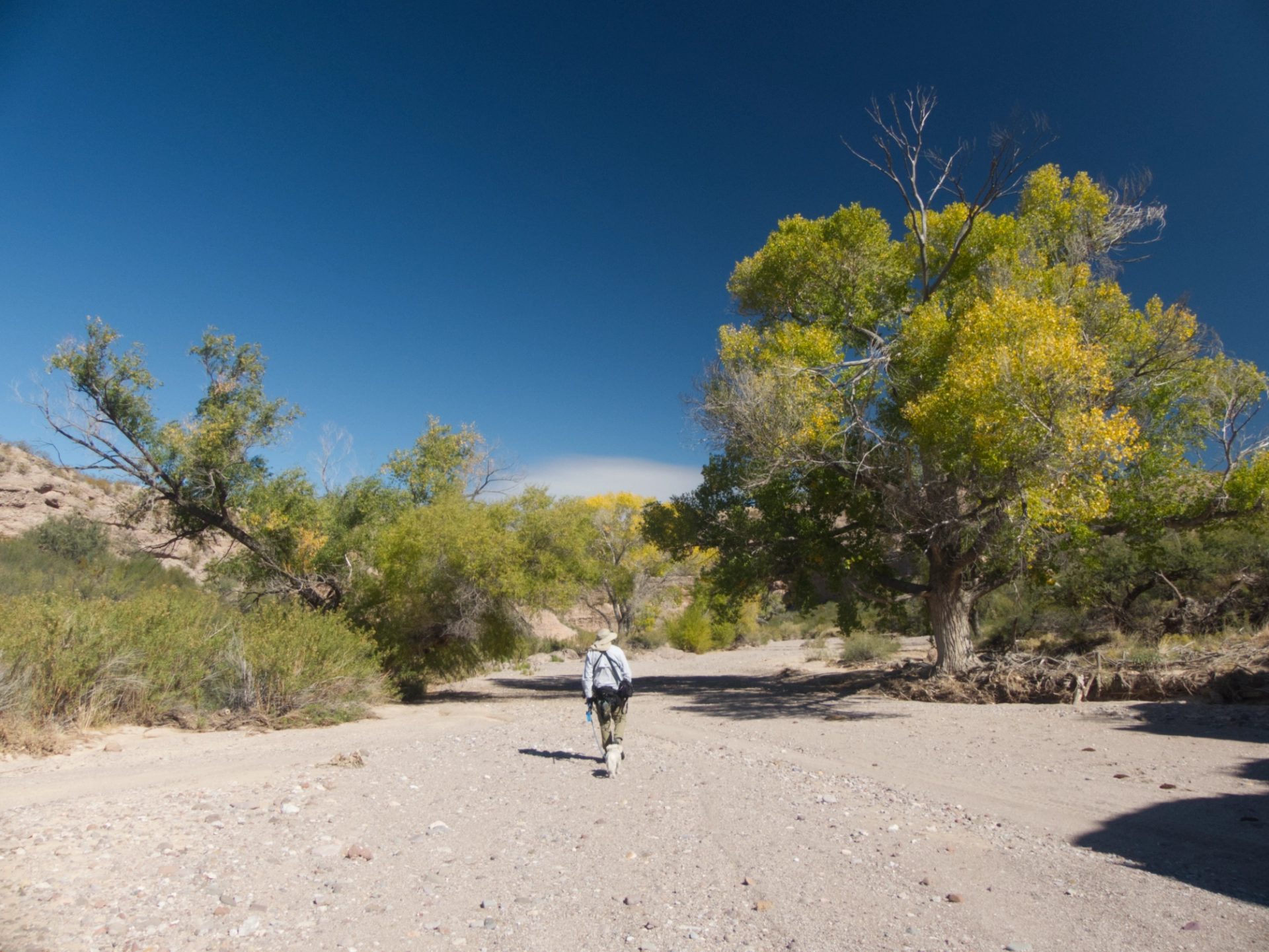
For our second hike, we decided to see if we could reach the petroglyphs along the Gila River by hiking down Cottonwood Canyon and then wading across the Gila River, like we did on our first trip to the Lower Gila Box in 2013.
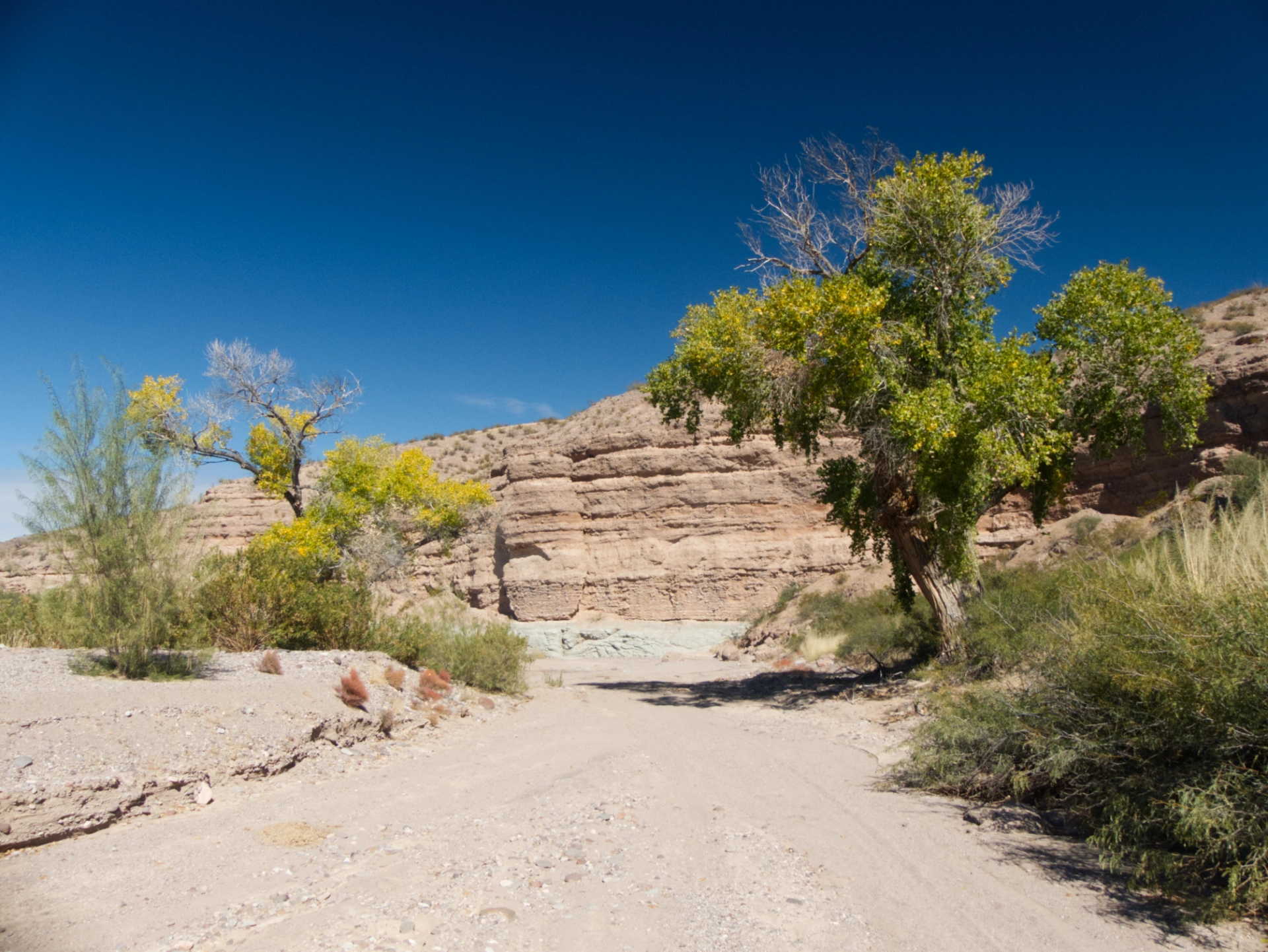
Cottonwood Canyon starts out wide and sandy, and hits a wall of very friable mint-green rock before developing into a slot.
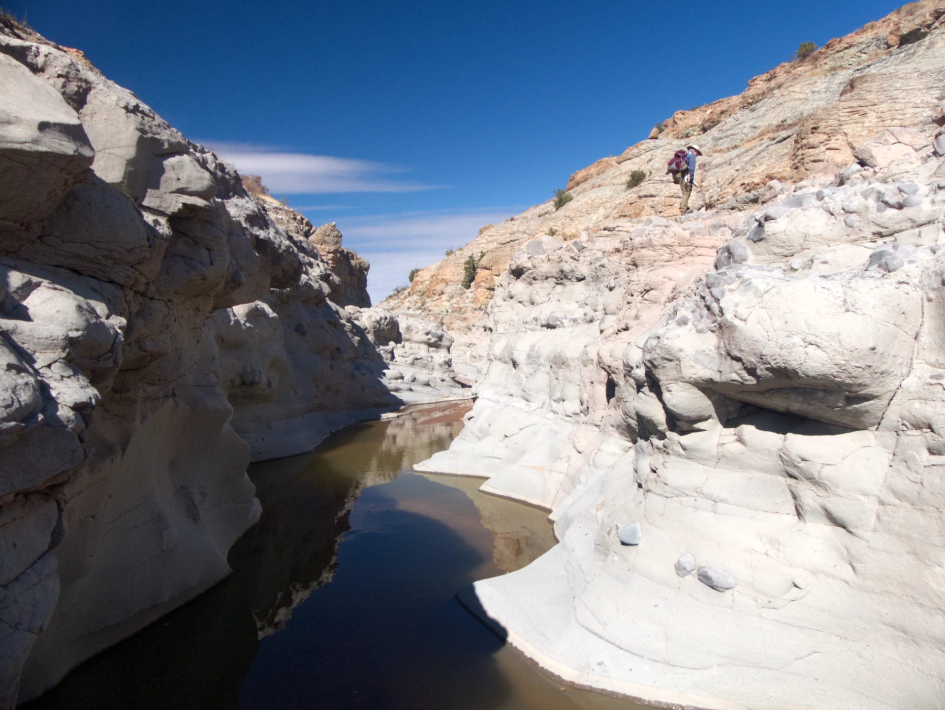
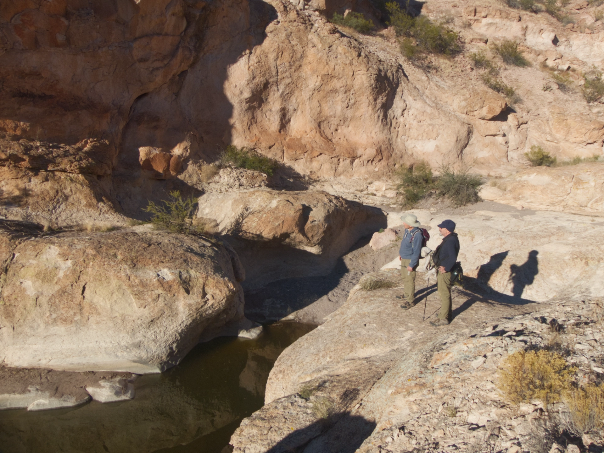
But, like Box Canyon, the slot was flooded with a very green pool of indeterminate depth. Dennis and I managed to scramble around it, but Ken and Badger went ... IN. We were less than 2000' from the Gila, but with two out of four hikers now soaking wet, we decided to do the adult thing and turn around.
Bushwhacking back to camp along a ridge.
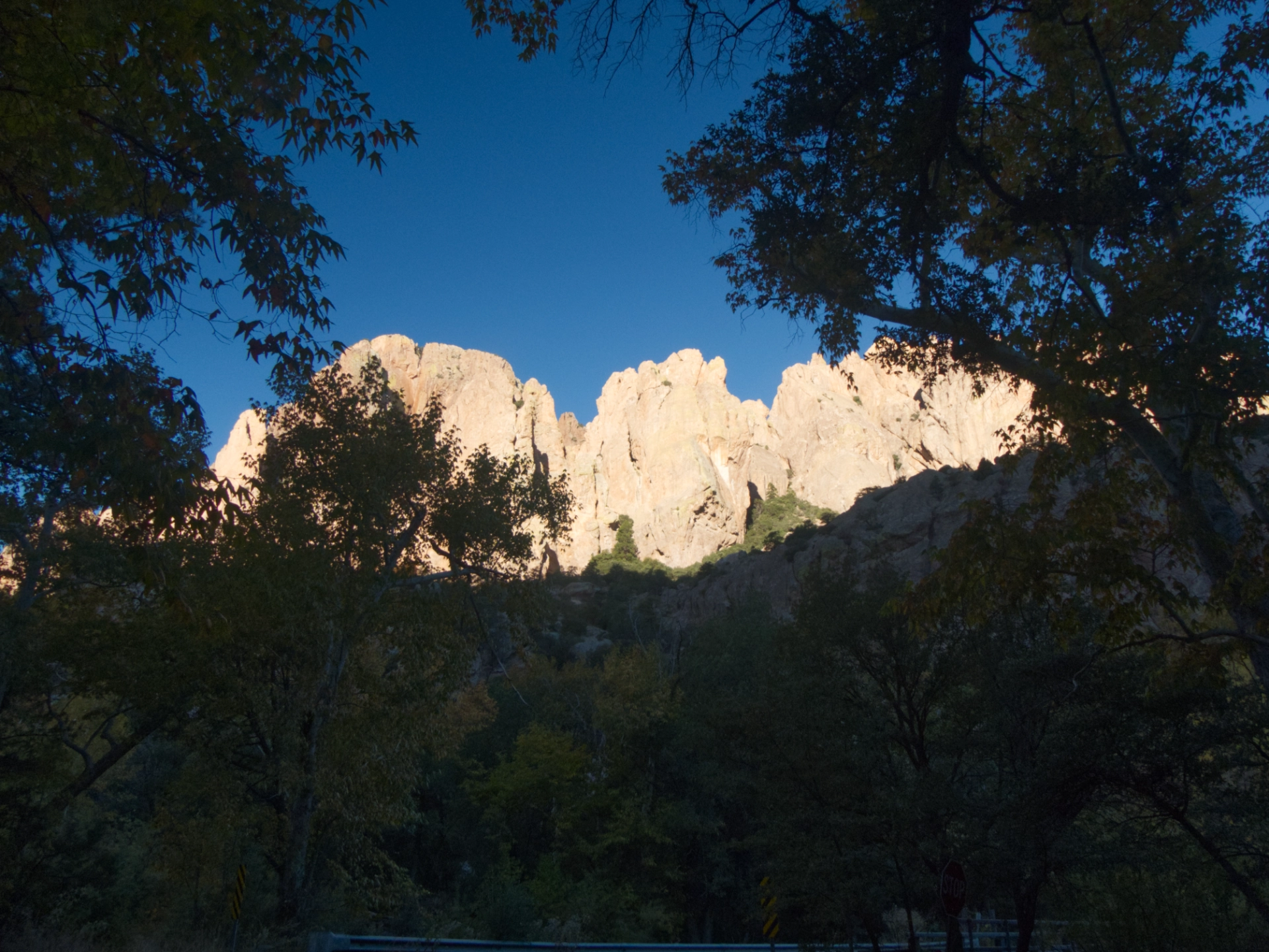
We broke camp and headed for the Chiricahuas. Sandy Flat was completely full, but we found a couple of nice spots at Steward Campground, in a deep and dark bosque. Morning walk to see the sun hitting the tops of the mountains while the canyon slumbered in chilly darkness.
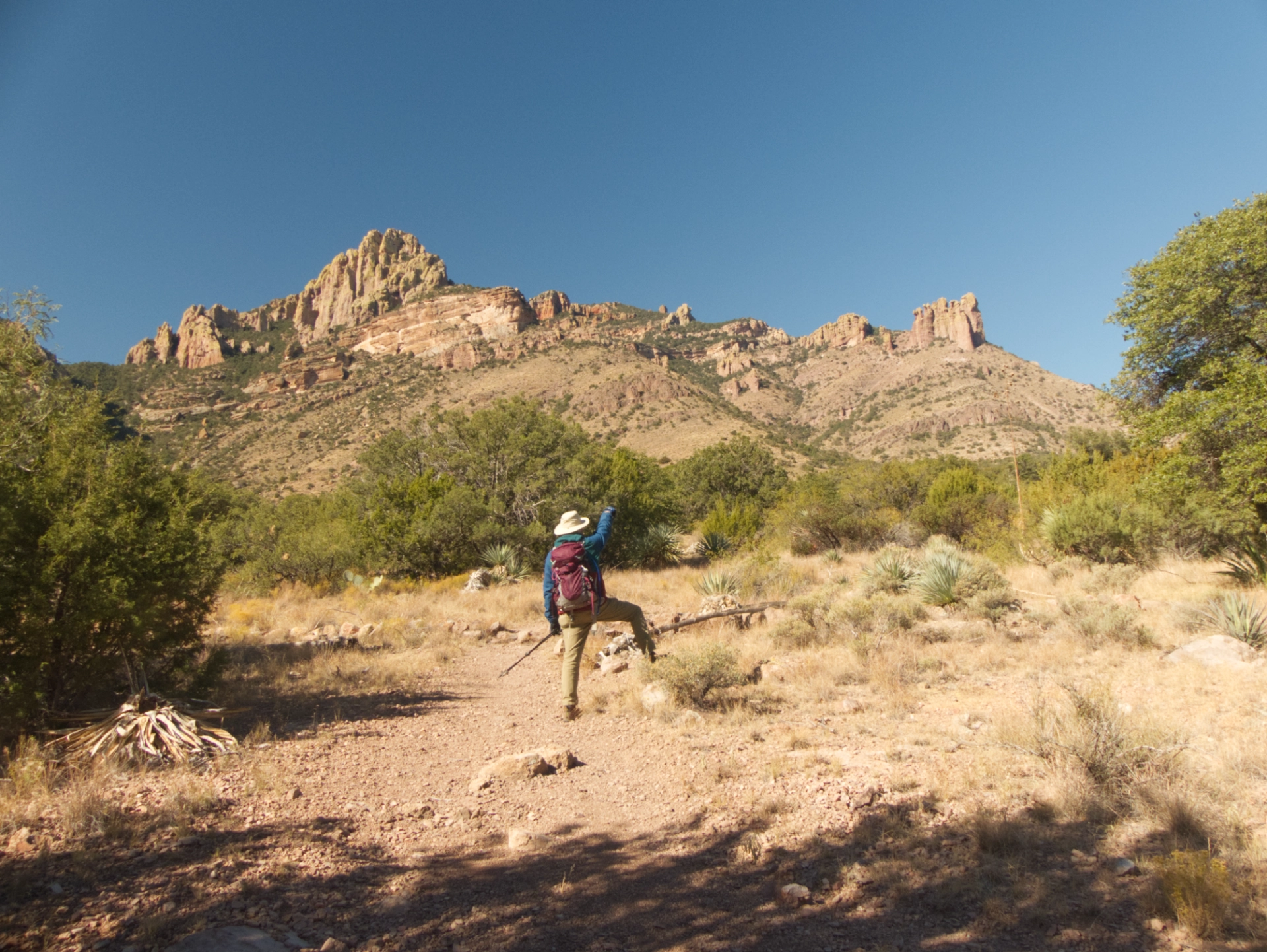
For our first hike, we chose the Silver Peak trail, on a south-facing slope with some welcome sunshine.
This is an excellent, well-graded trail with non-stop views.
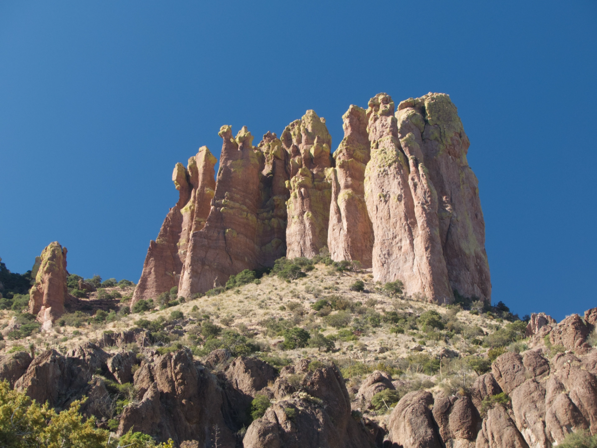
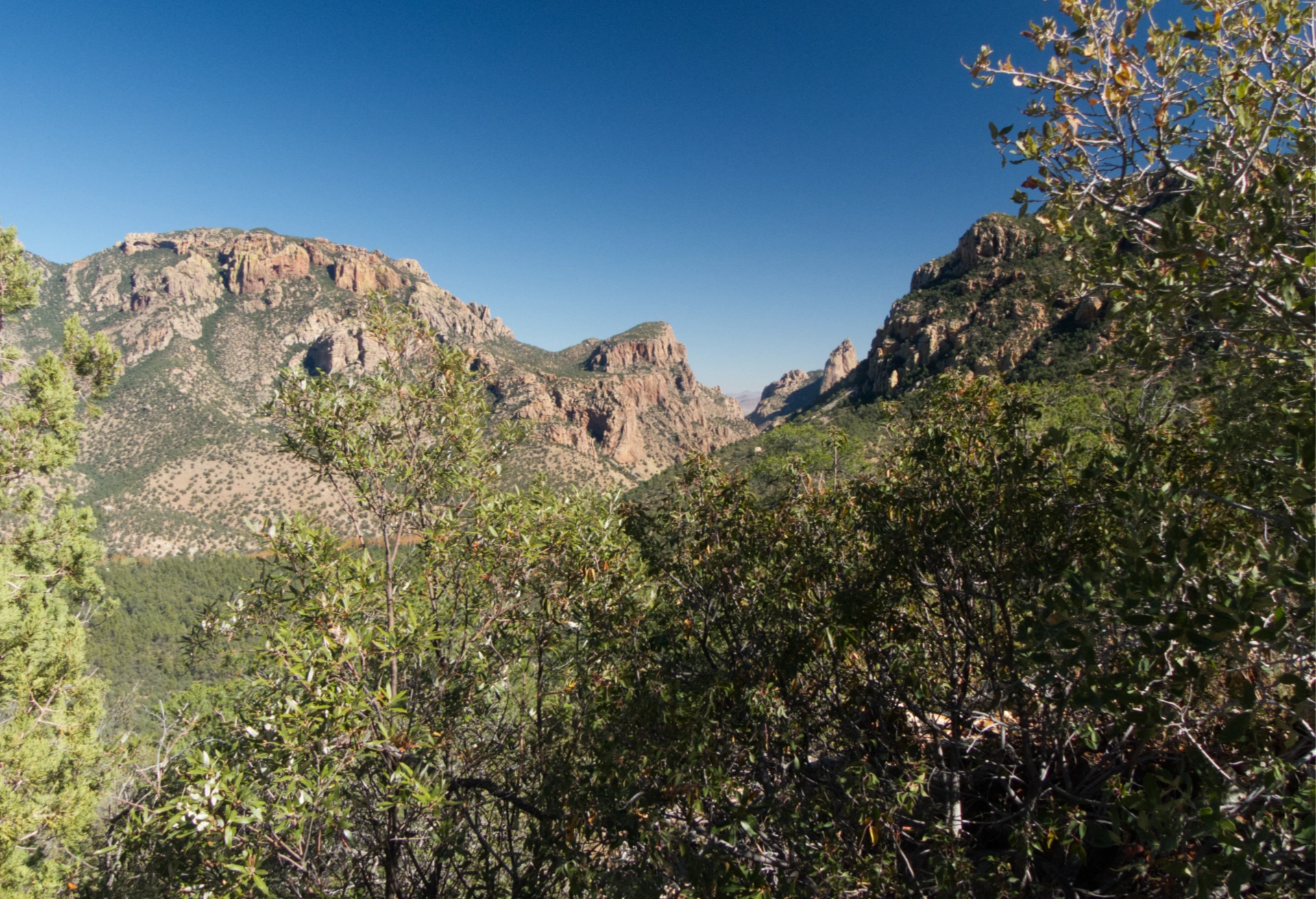
Working our way around "The Fingers".
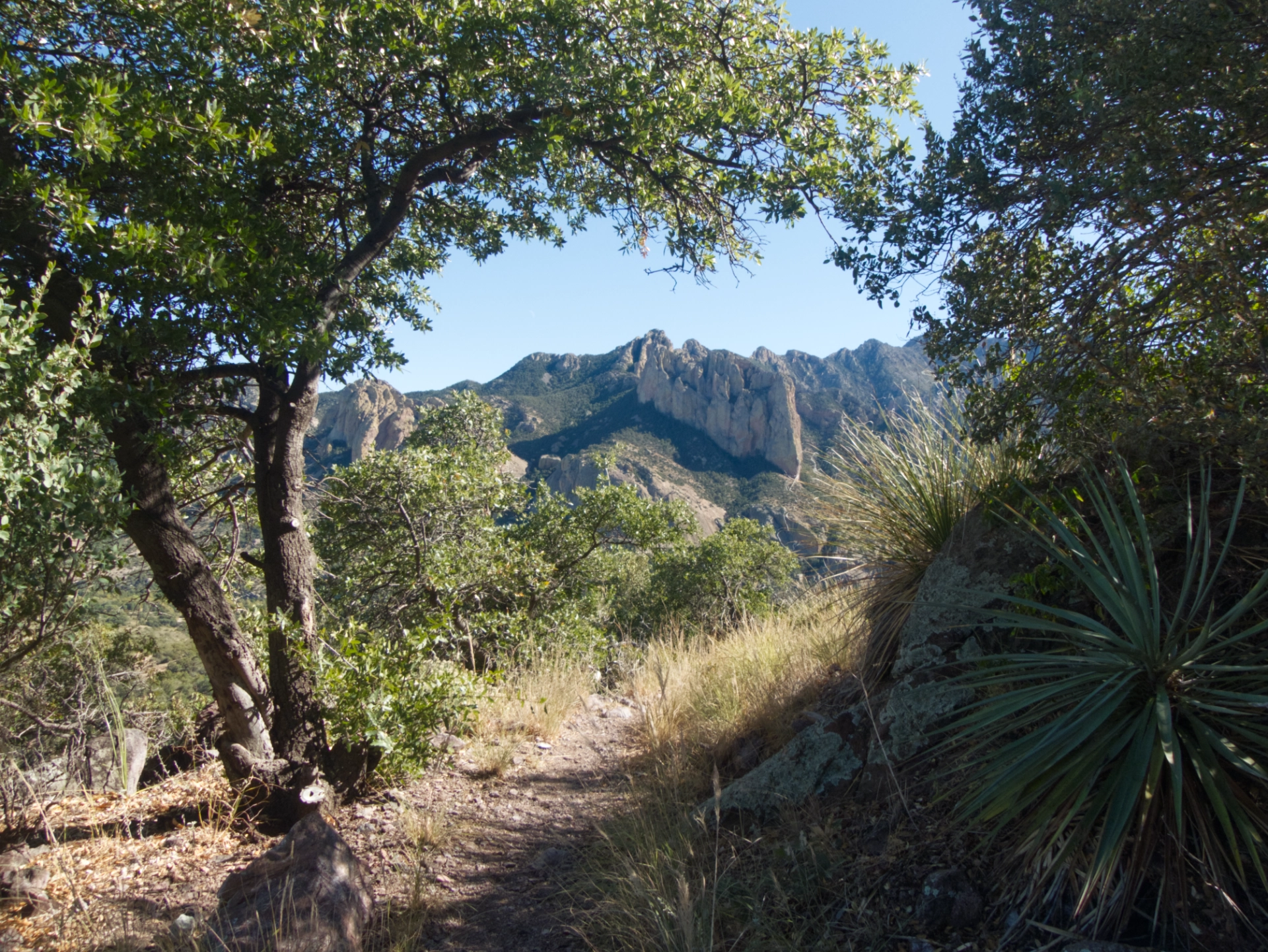
We turned back about three miles in, having gained about 1300'.
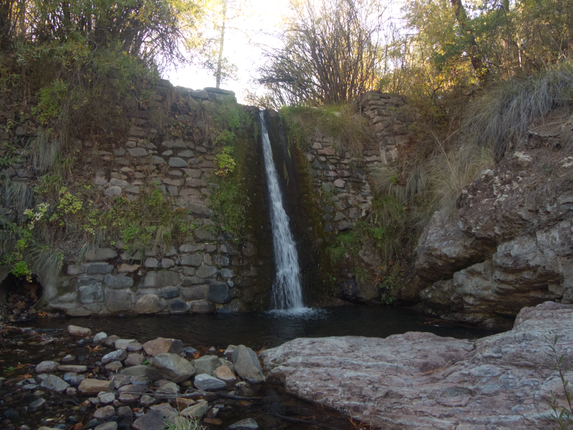
We finished the day with a brief exploration of the area around Herb Martyr Dam. Very popular in the summer, it was eerily quiet on a chilly night in November.
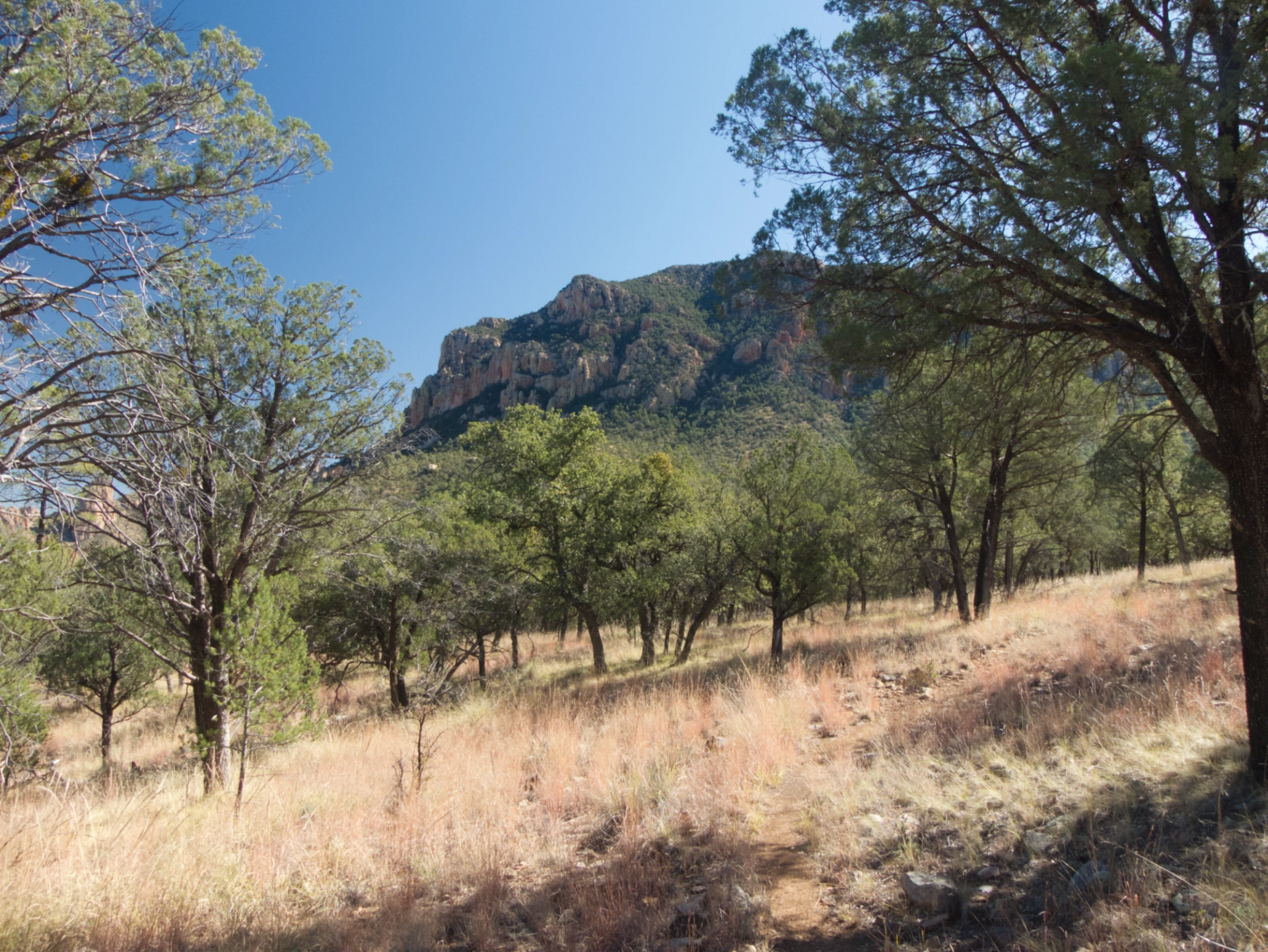
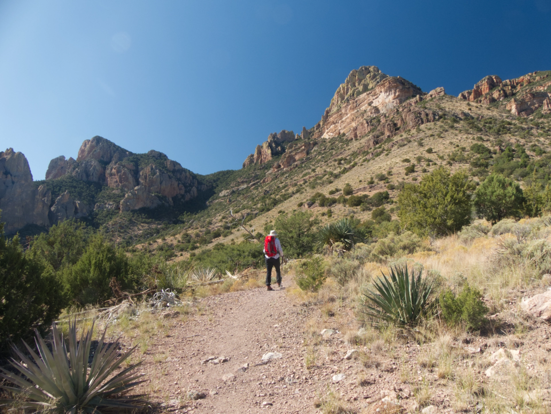
The next day we chose another hike at random, along the Snowshed Trail. There was no snow and no shed, but this is another fine trail that starts on a high plateau and then climbs high along the north slop of Snowshead Peak.
We turned around at a saddle with fine views. Although we spent a lot of time in the Chiricahuas, we usually stayed on the west side, which was closer to Tucson. It was a delight to explore some of the trails on the east side.
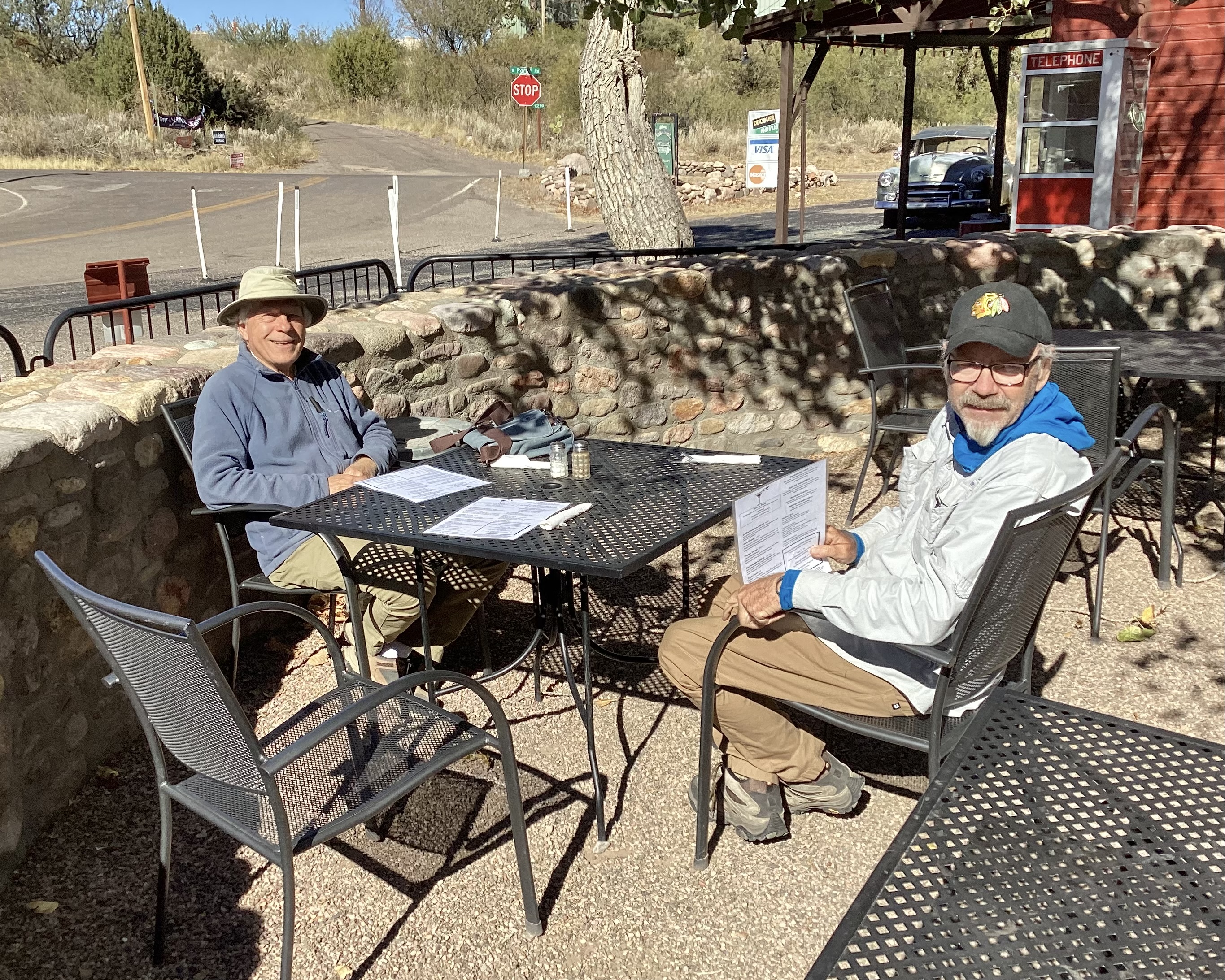
We finished the day with an excellent lunch outdoors at the Portal Cafe. The yellow cottonwoods sighed and swayed overhead, and the sun felt wonderful on my back. Only then did we learn, while tapping into cafe's wifi, that a major snowstorm had swept through northern New Mexico and Colorado, dumping up to three feet of snow in parts of the state, and stranding hundreds of motorists on US 64/87 and I-40.
