Guajolote Flat
April 30, 2006
Our third trip to Patagonia in one month. We have developed a crush on this mountain town.
Old mining roads in the Patagonia Mountains offer some of the best biking in southern Arizona.
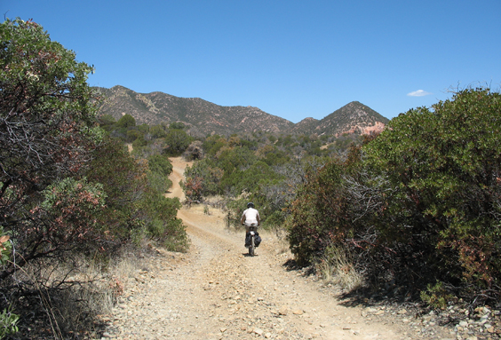
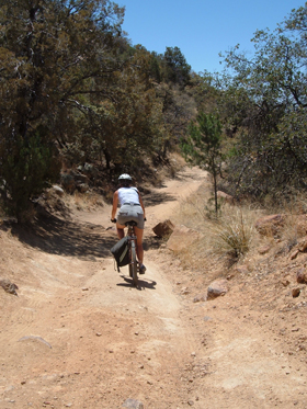
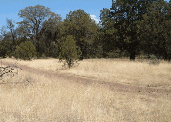
Today's trek was a six-mile loop beginning on Guajolote Flat Road. It means "turkey" in Spanish, but we didn't see an ATV or a dirt bike or any other people at all.
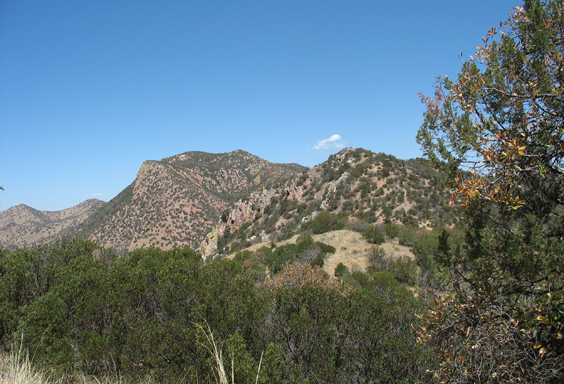
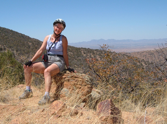
It begins with a long climb to a 6000-foot-high ridge that that offers splendiferous views. At least two more good roads enter from the north, just begging for further exploration.
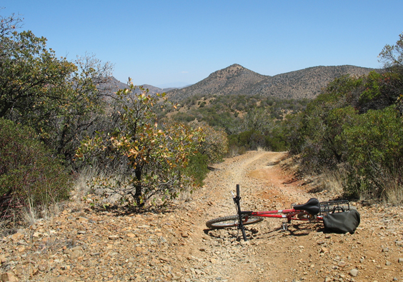
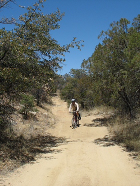
The trail tops out at about 6000 feet, then begins a long, delicious descent.
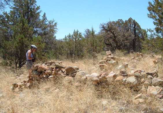
Opposite a short spur to Paymaster Mine Road are the ruins of many buildings.
We take a sharp left onto a much narrower and rougher road -- probably impassable even with 4WD. The views are great and this section is much more bikable than the west end of Flux Canyon.
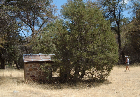
A mysterious stone shed and a grave dating from 1959 are all that's left of the Bagby Ranch.
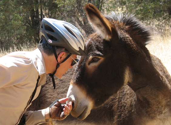
Dennis made a friend at the Flying R Ranch.
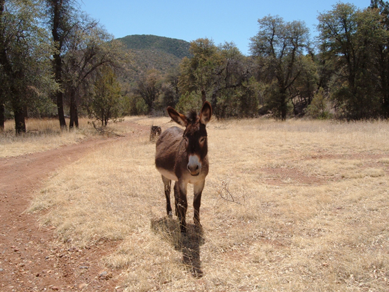
What a wonderful beast! Can he come home with us? We already have a goat, a pig, and chickens on our street. Why not a donkey?
It took us about 2-1/2 hours to complete this loop. Total distance is 6.1 miles, with an elevation gain of 883 feet. We had the road to ourselves, and other than a few discarded water bottles, there was no evidence of migrant traffic.
