Salvation Elevation
Escaping June in Arizona's White Mountains
June 14-21, 2024
Year 'round residents of the Southwest desert know that the only way to survive June is to get the Hell out of town. Even Silver City, which is 15° cooler than Tucson, yet at +6000', our sun feels much hotter. 95° is a balmy spring day in Tucson; in Silver City, it's a blast furnace. With the forecasters predicting an abnormally hot summer of 2024 throughout the Southwest, it was clear that our traditional retreats — the Gila, the Mogollon Rim — were not going to cut it. We needed to get above 8000'.
And so we packed up the cats and headed for Arizona's White Mountains. This region has been badly damaged by a series of catastrophic wildfires going back to 2009, but there are nevertheless pockets of breathtaking beauty. And, like the Sacramento Mountains, it's not so much a chain of mountains, but a rolling plateau with a base elevation of 8000'.
June 14
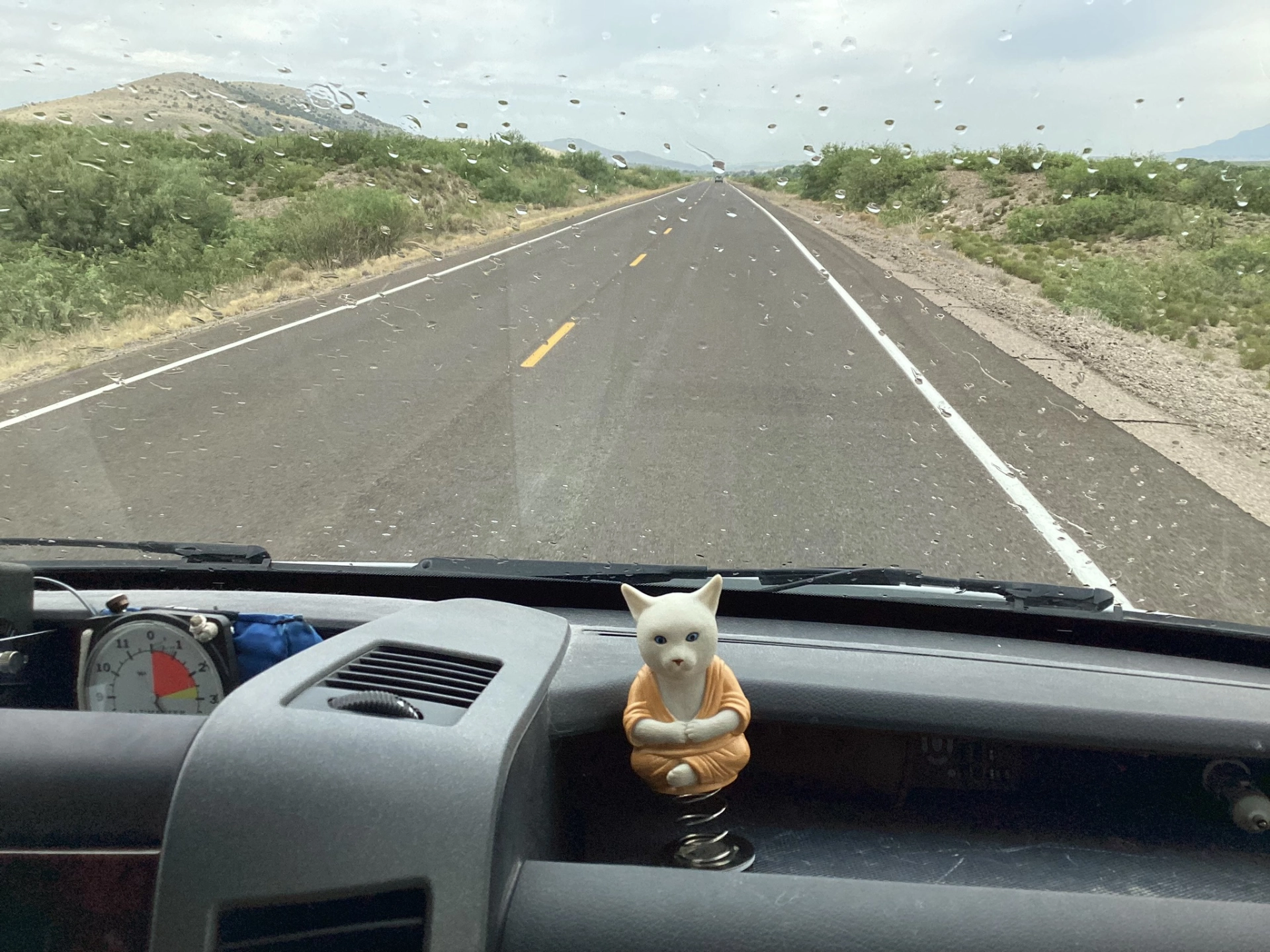
A few drops of rain as we headed out of town were just a teaser. The much-anticipated monsoon is nowhere in sight.

Along the way, we were delighted to learn that the Adobe Café & Bakery is now open on Fridays. We have planned many a trip around their limited hours, so this was a nice surprise.

Landed in one of our favorite camping areas, an island on Ponderosa pines surrounded by a vast sea of bare hills and blackened burn scars. The temperature was only in the 70s! A light sweater felt good!
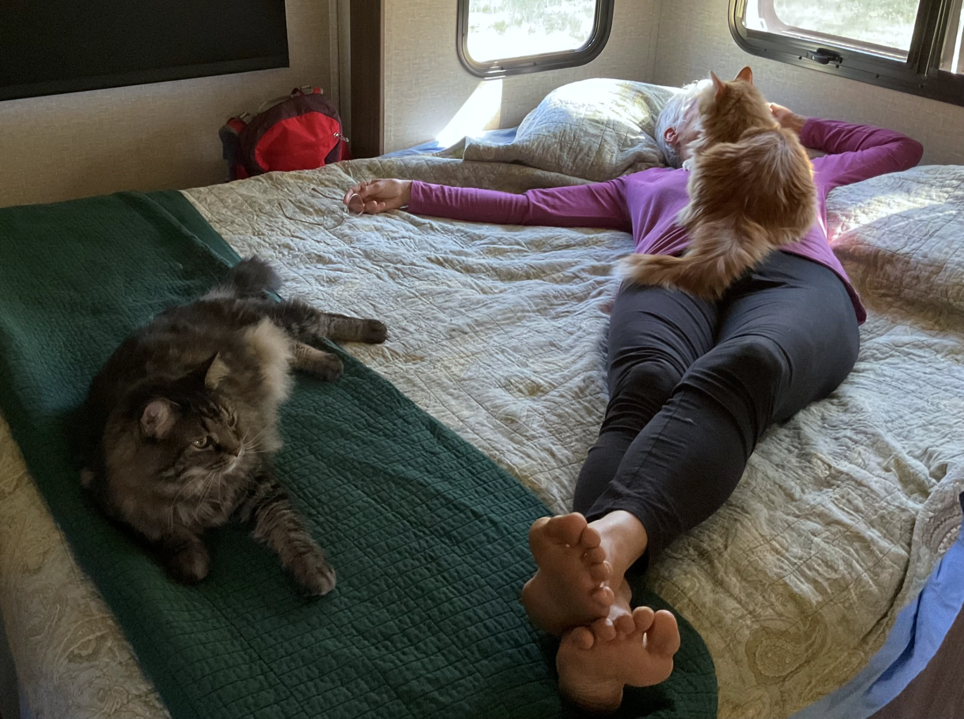
RE:LAXING.
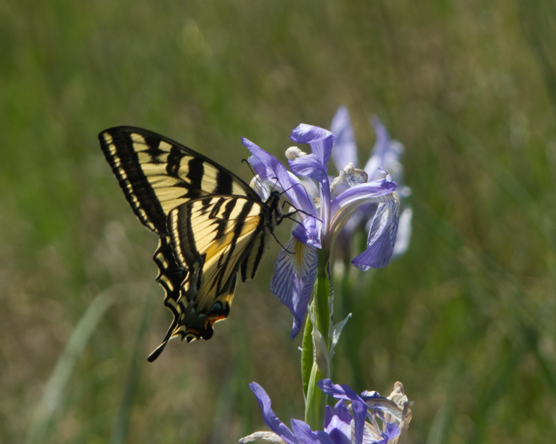
For Flag Day. A blue flag with a swallowtail butterfly.
June 15
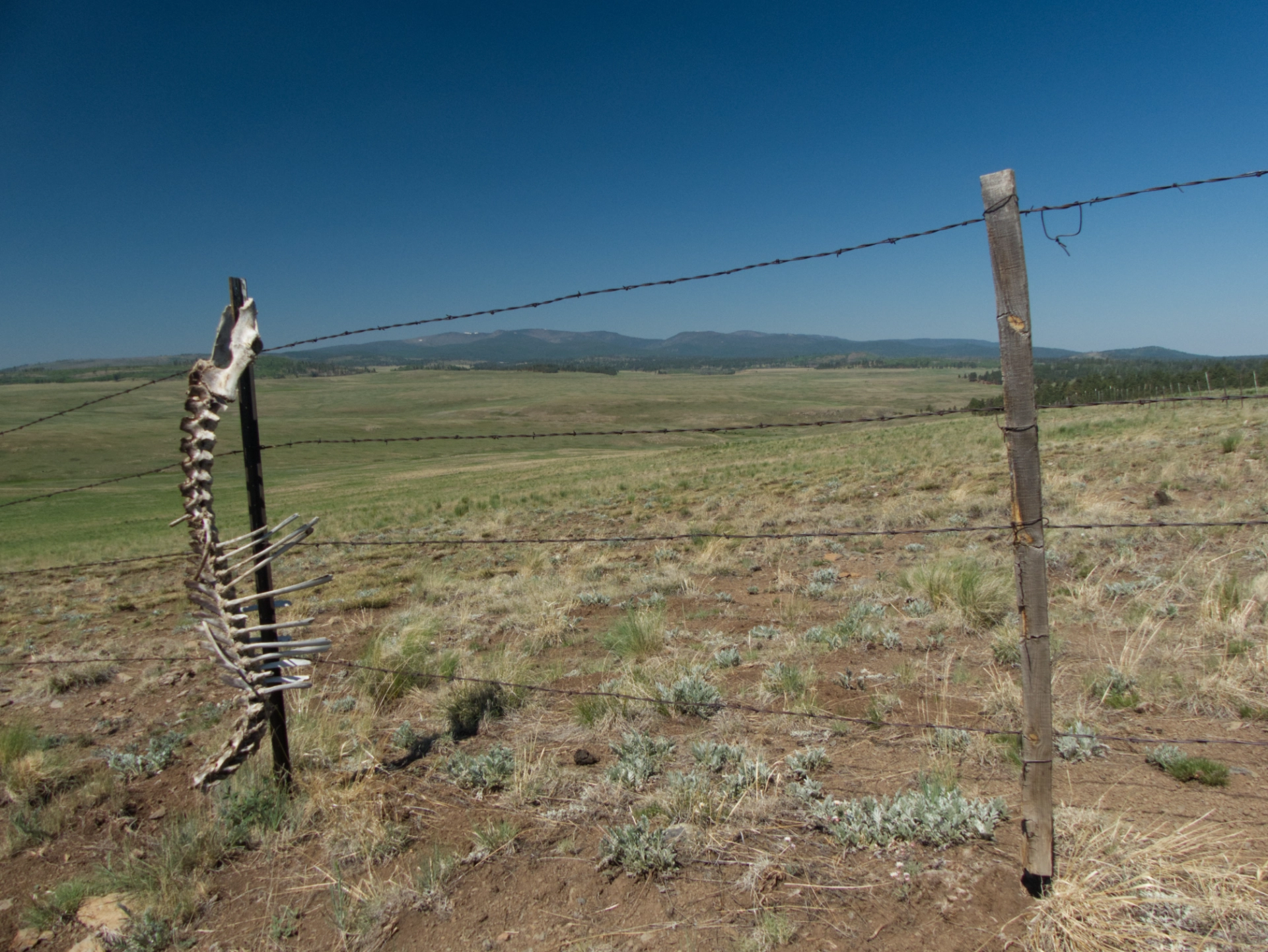
For our first hike, we tried to get to Head of South Fork Spring, the source of the South Fork Little Colorado River. Here there are alpine meadows for miles in any direction.
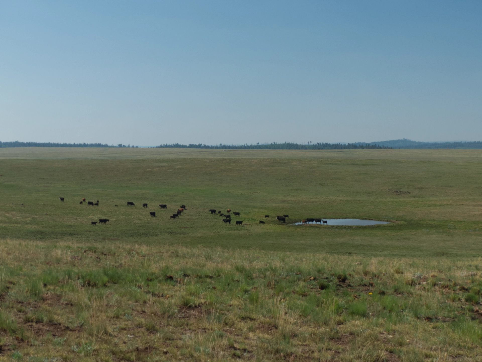
But the spring turned out to be a slimy cow-plop-infested puddle. "Hey guys, urine the wrong place, you should steer clear."
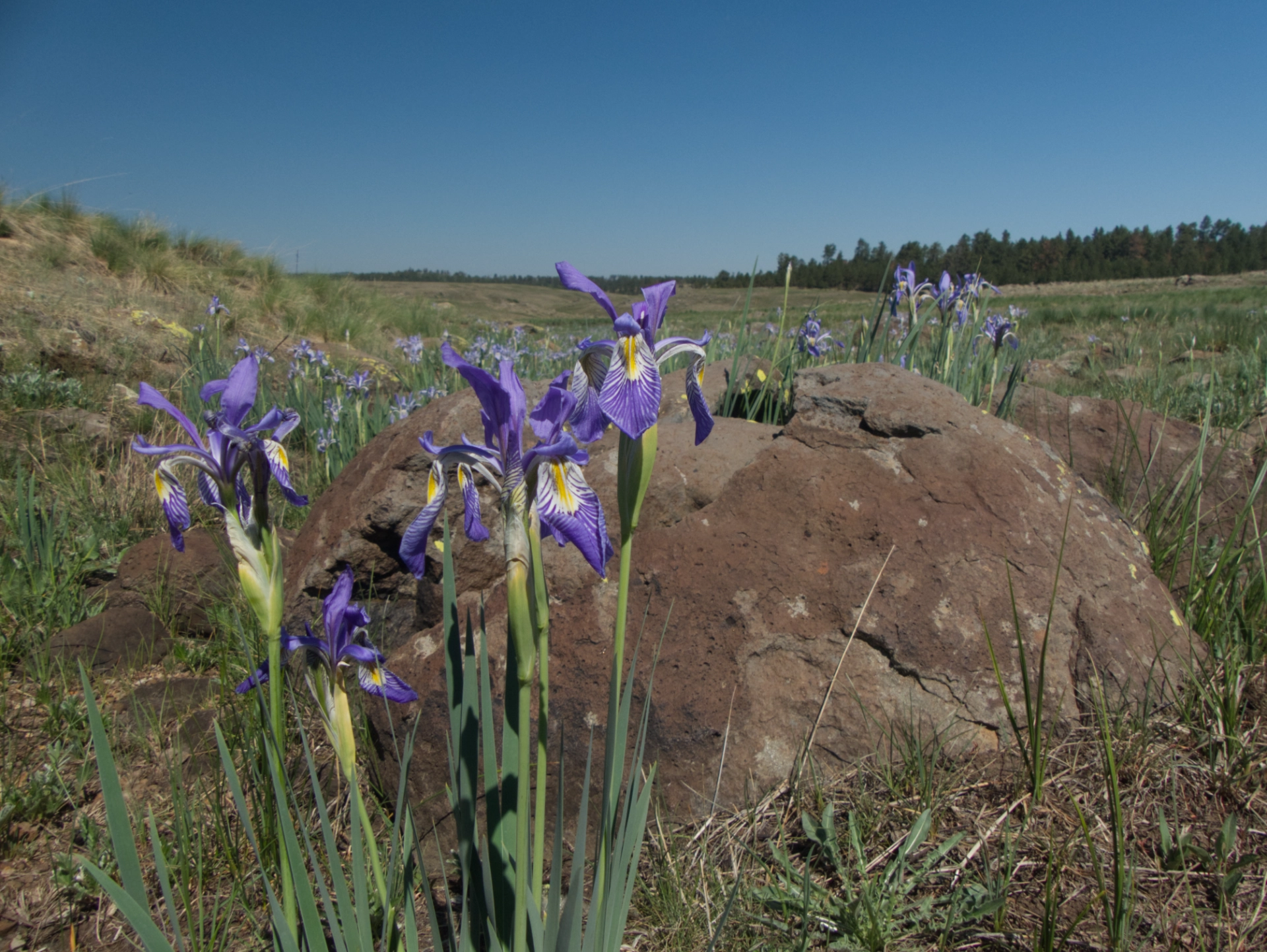
But the blue flags seem to like the muck.
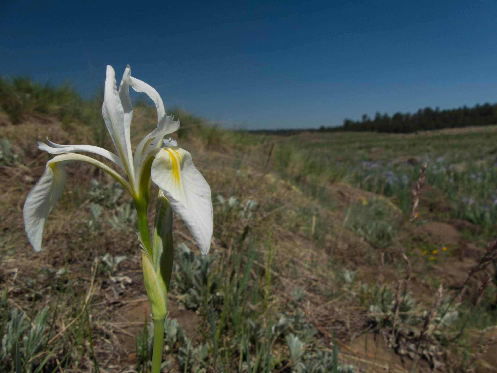
We even saw a few white blue flags (exactly two out of thousands).
June 16

Matt and Susan, dear friends from Tucson, met us in camp Friday night. And Susan joined us for our second hike, to Wahl Knoll (9768').
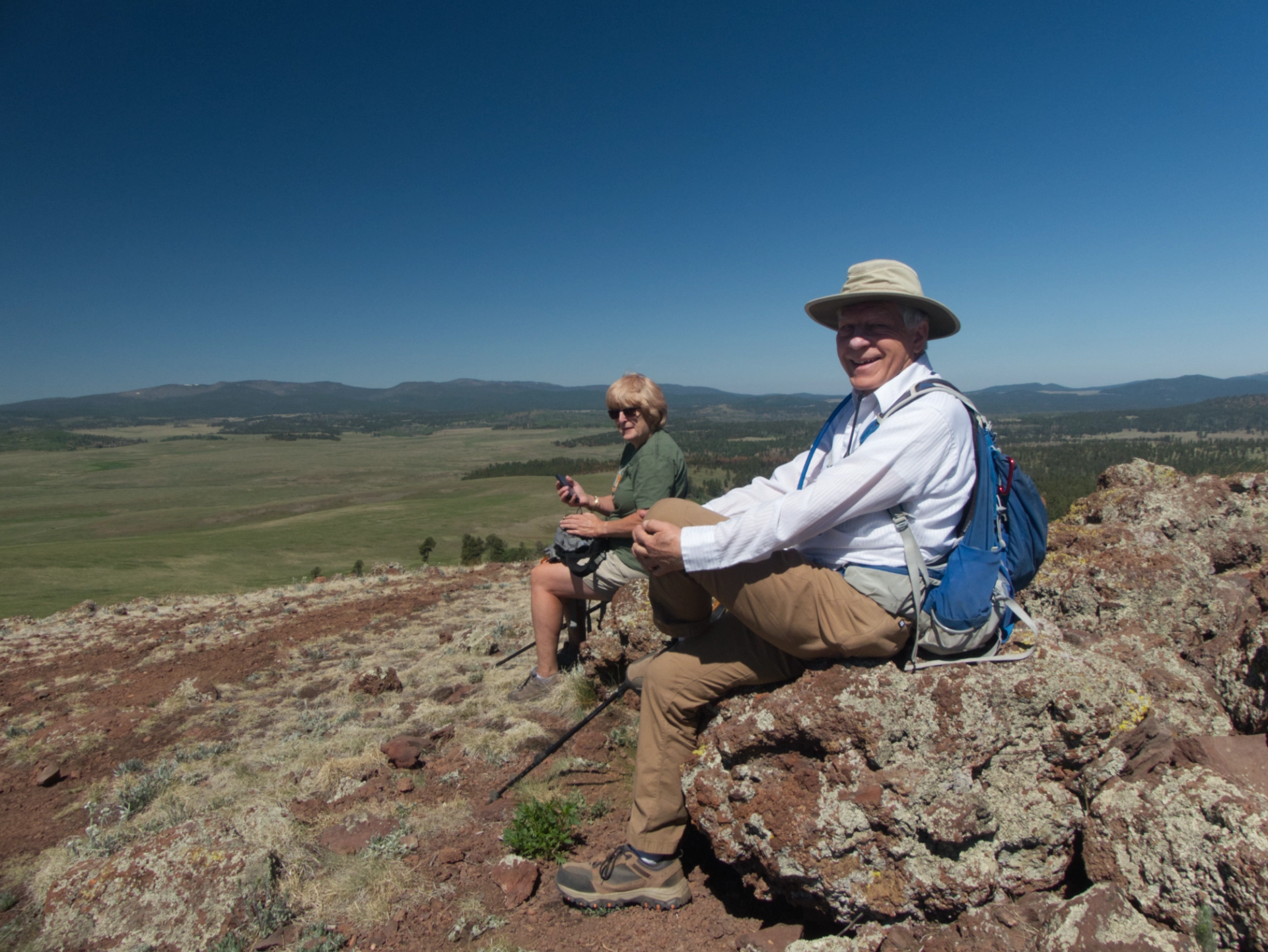
It's a brisk climb, but the views are awe-inspiring.
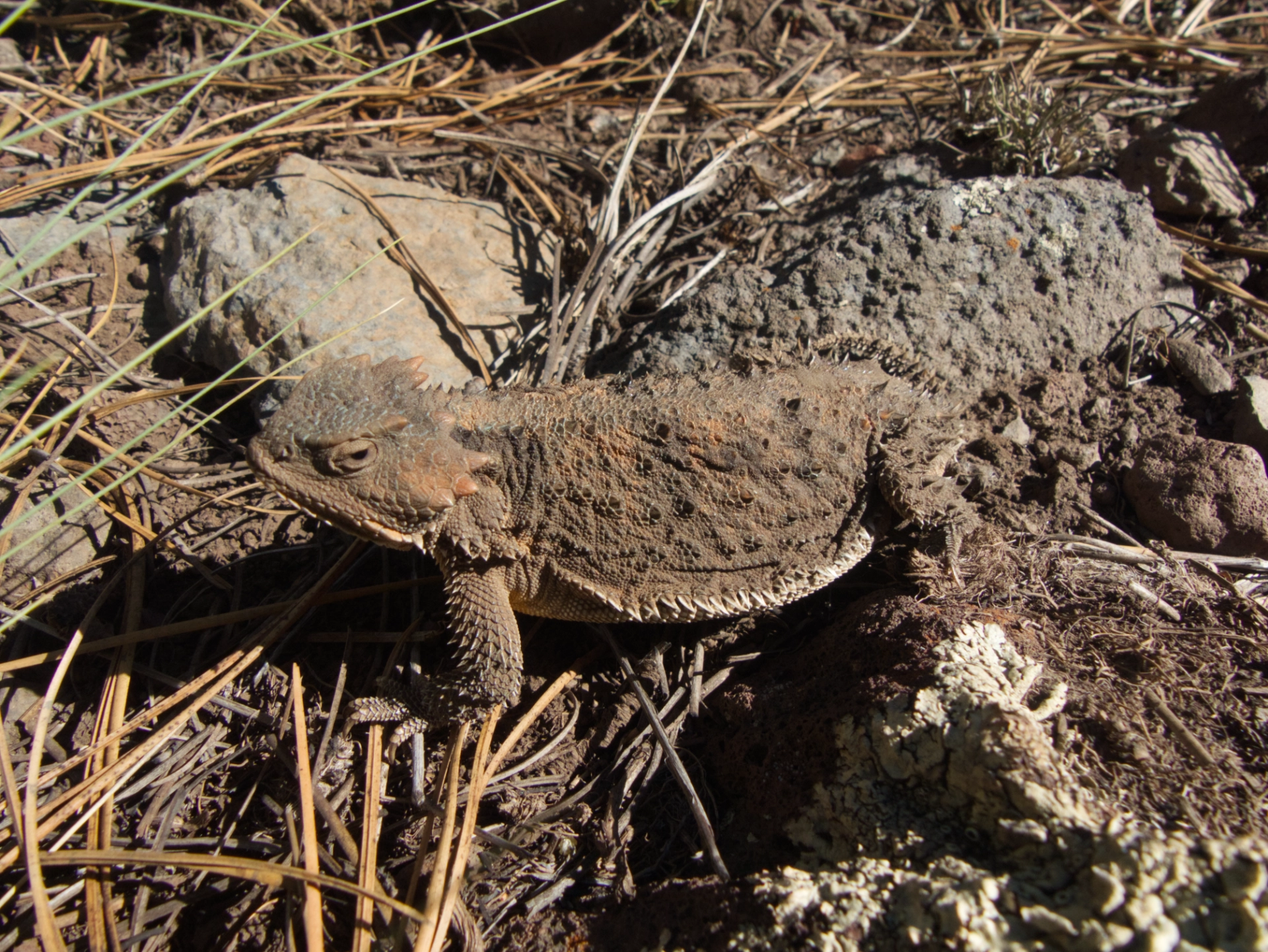
We decided to make our way town along the edge of the tree line, to pick up an old forest road that slabs around the east side of the mountain. Saw a few critters along the way. Greater Short-Horned Lizard.
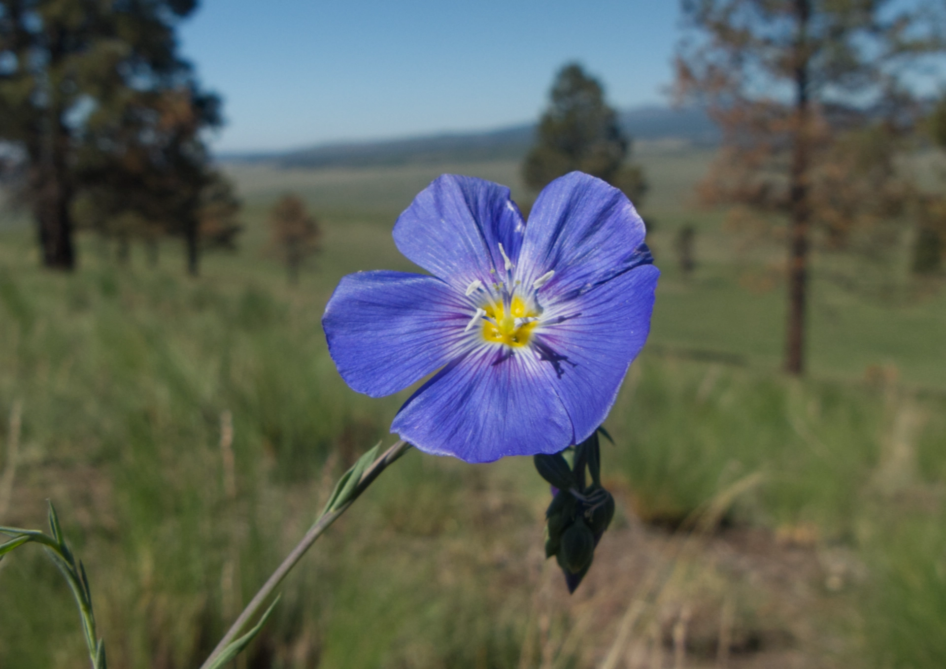
Lewis Flax

Celebrating with lunch at The Rendezvous Diner in Greer.
June 17
The days passed easily. Coffee with our camping buddies and a morning hike, followed by lunch, outdoor yoga, and a nap. I could get used to this!
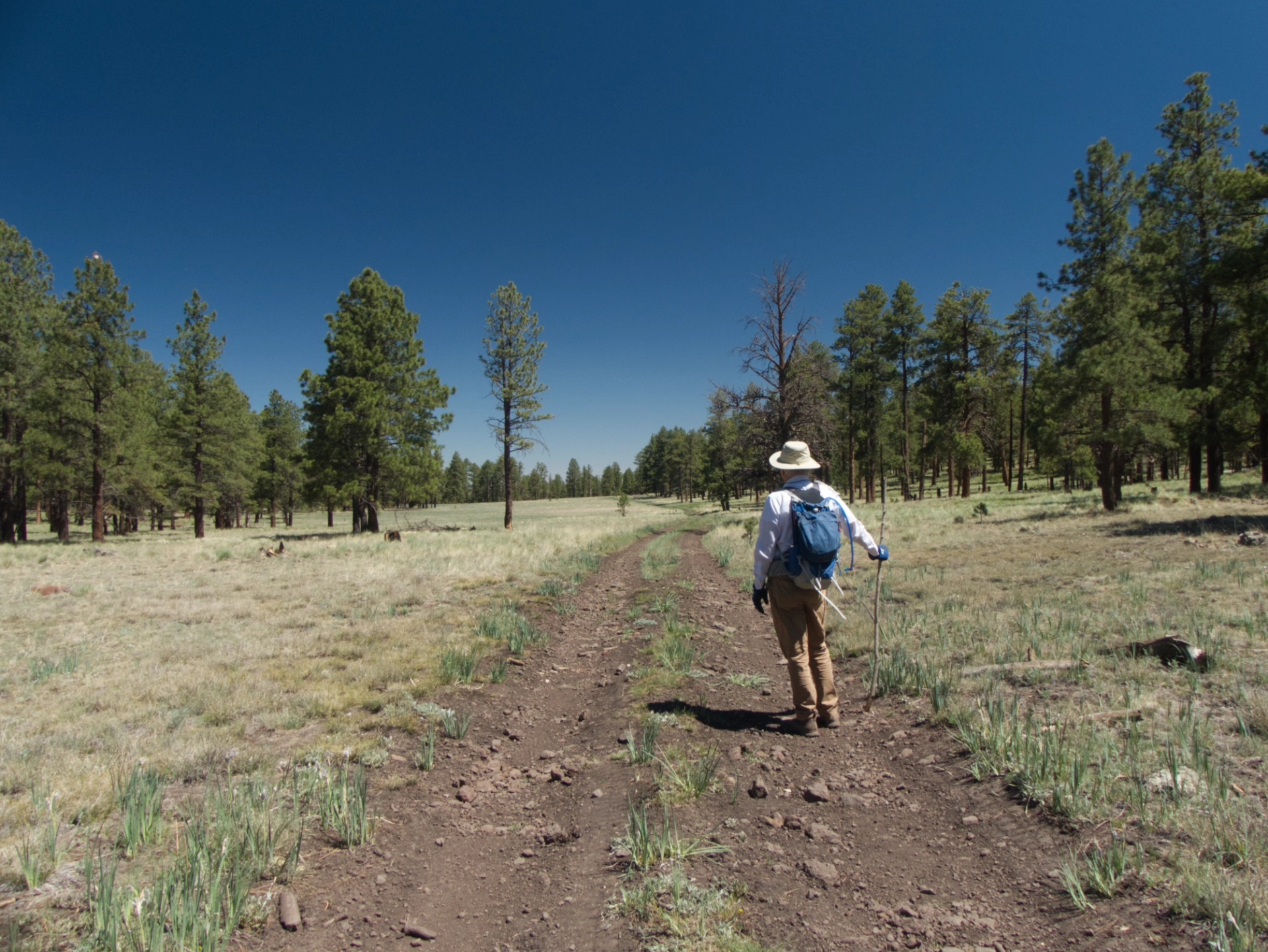
For our third hike, we decided to explore an area we had never visited before. We had assumed it was just another burned over area, but instead, the old forest road dropped into a very broad and lush alpine meadow.

There were clouds of blue flags, and several pristine ponds.
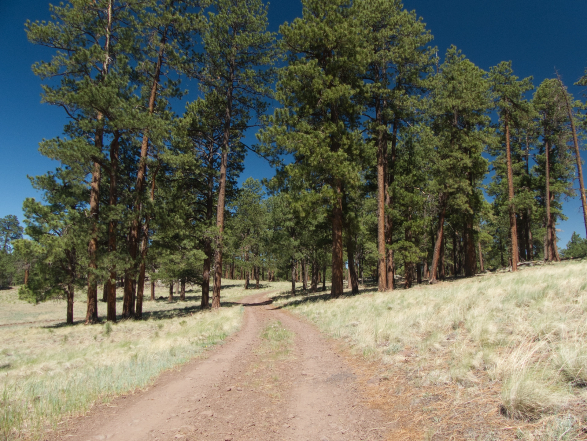
At the far end of the meadow was a fantastic campsite in a grove of Ponderosa pines.
Deep in the forest, we noticed an old corral protecting a beautiful spring. The water was very clear and ice cold!
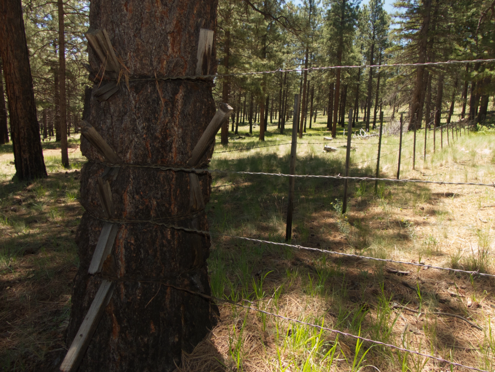
Long ago, a fence post anchored this corner. But the Pondo had a better idea.

Richardson's Geranium
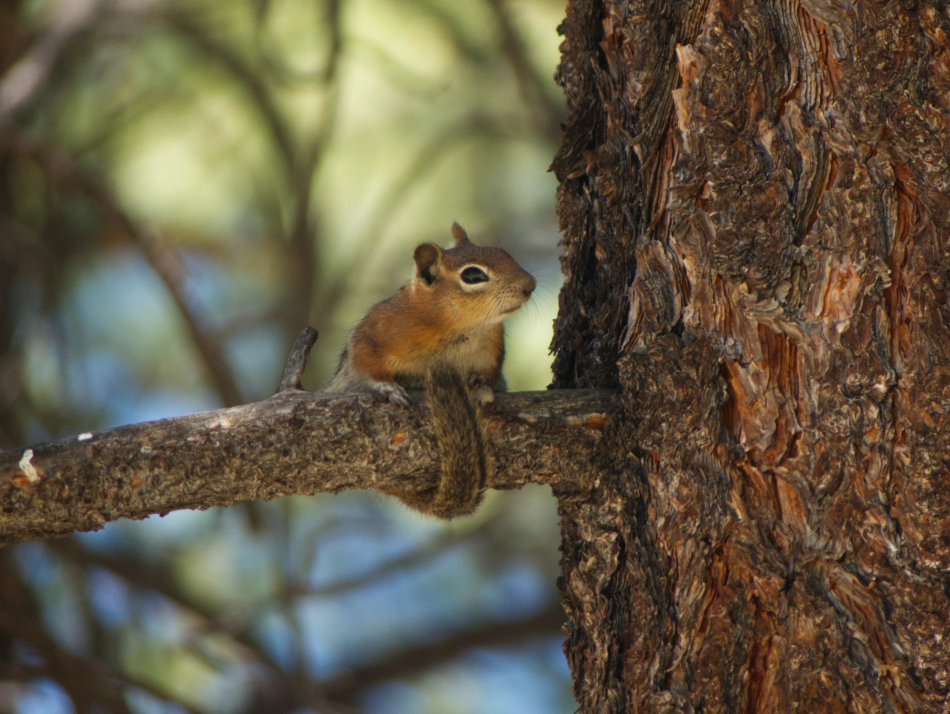
Golden-Mantled Ground Squirrel. Look how he wraps his tail around the branch!
June 18
Once our friends headed back to Tucson, we had planned to continue north to spend Amateur Radio Field Day on the south rim of the Grand Canyon. But even at nearly 7000', temperatures were nudging triple digits. Instead, we decided to see if we could make our way to the campsite we had spotted the day before.
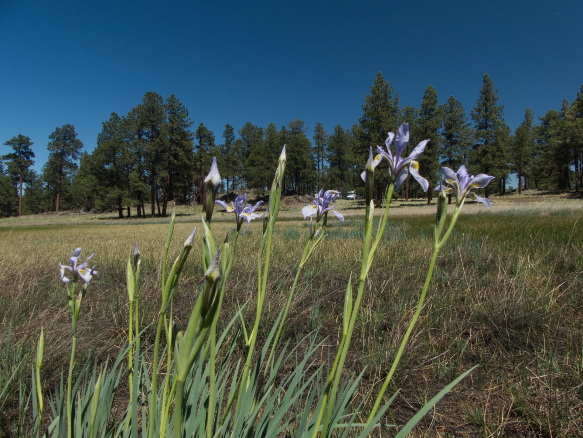
Yes, we could!
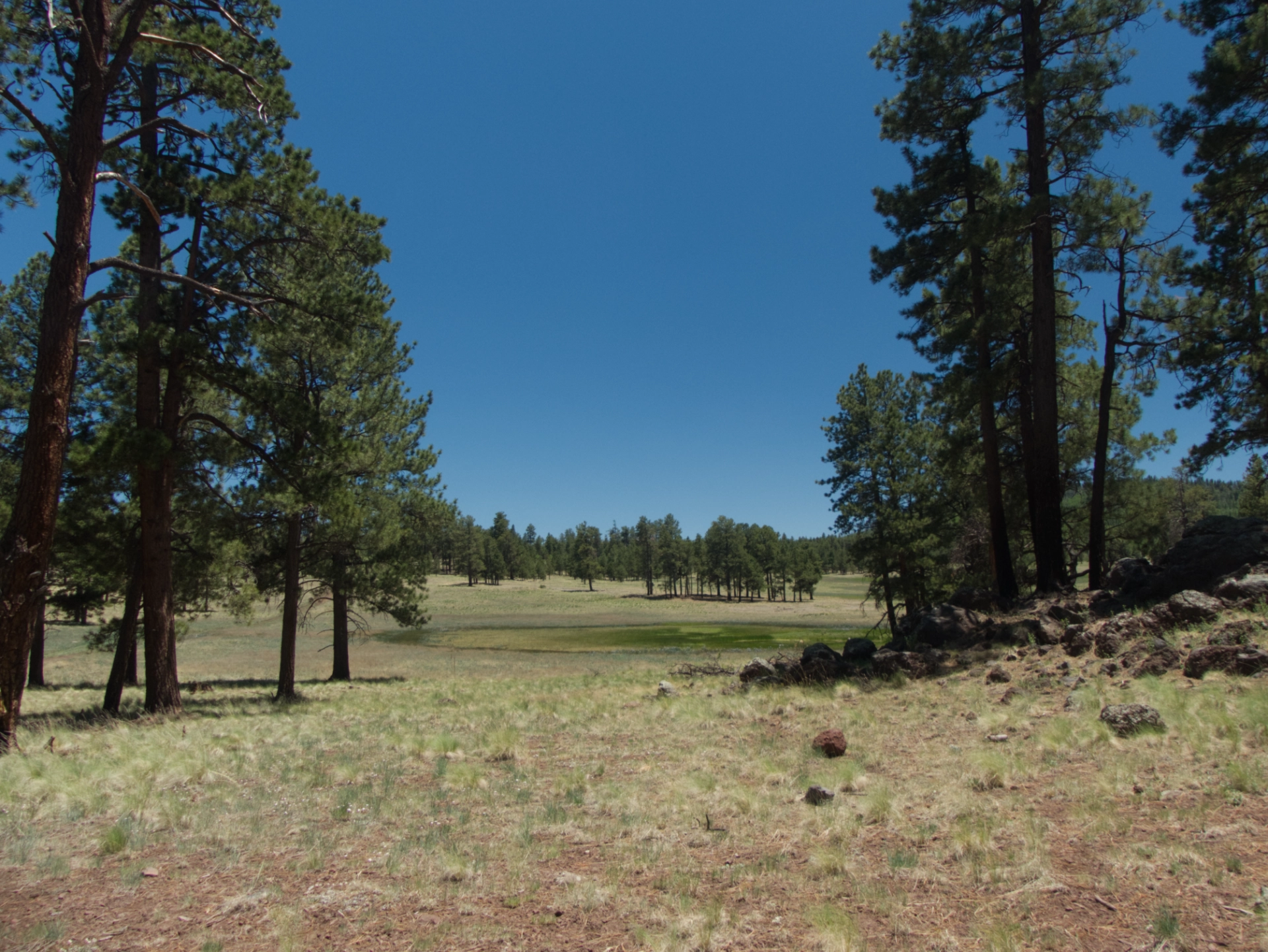
What a great spot! There was nobody else for MILES, but we had reliable internet for the first time on this trip!
June 19
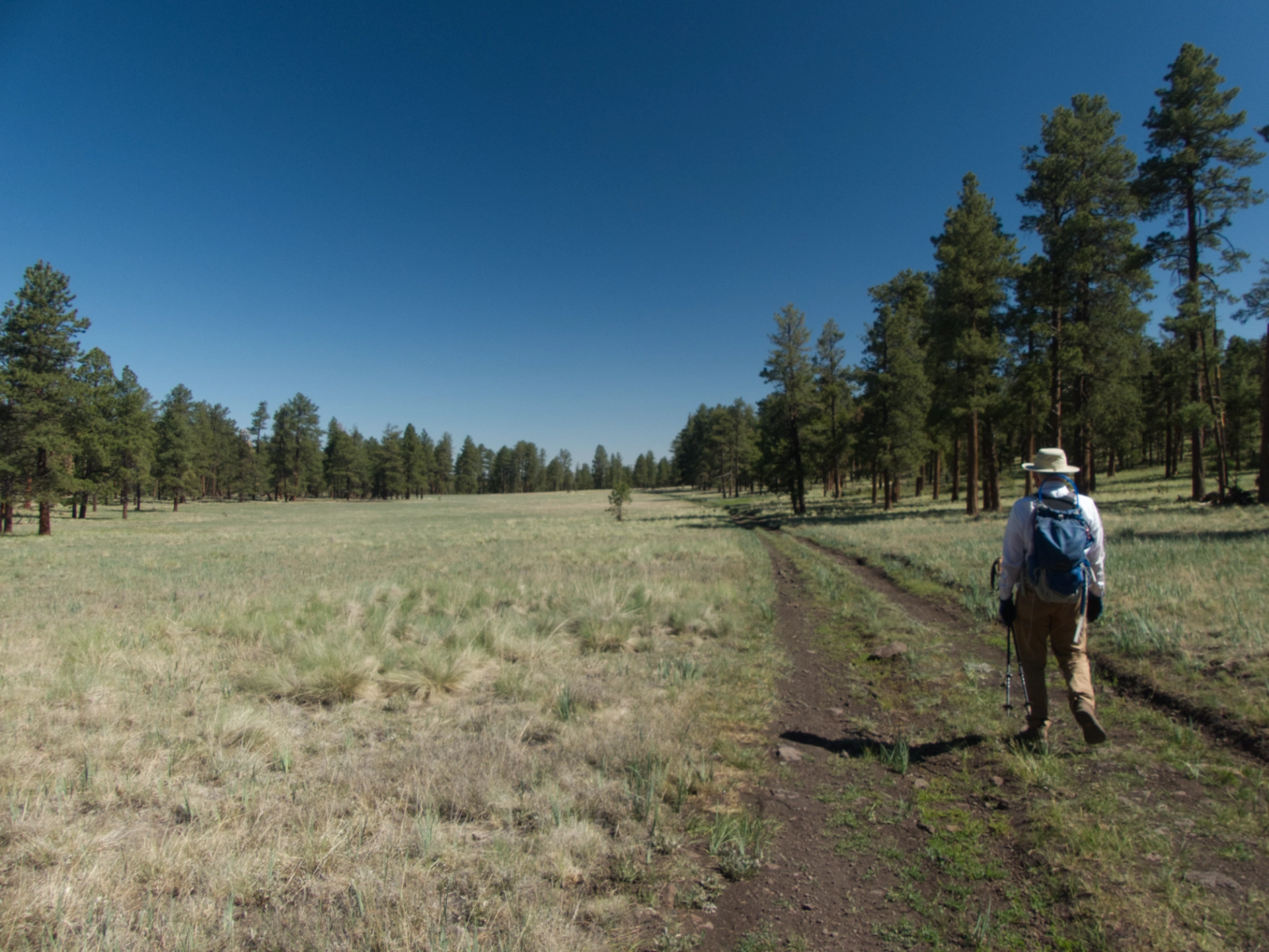
In the morning we continued out an old forest road that crossed a long and narrow meadow and dead-ended at the edge of a mesa overlooking the Little Colorado River Valley.
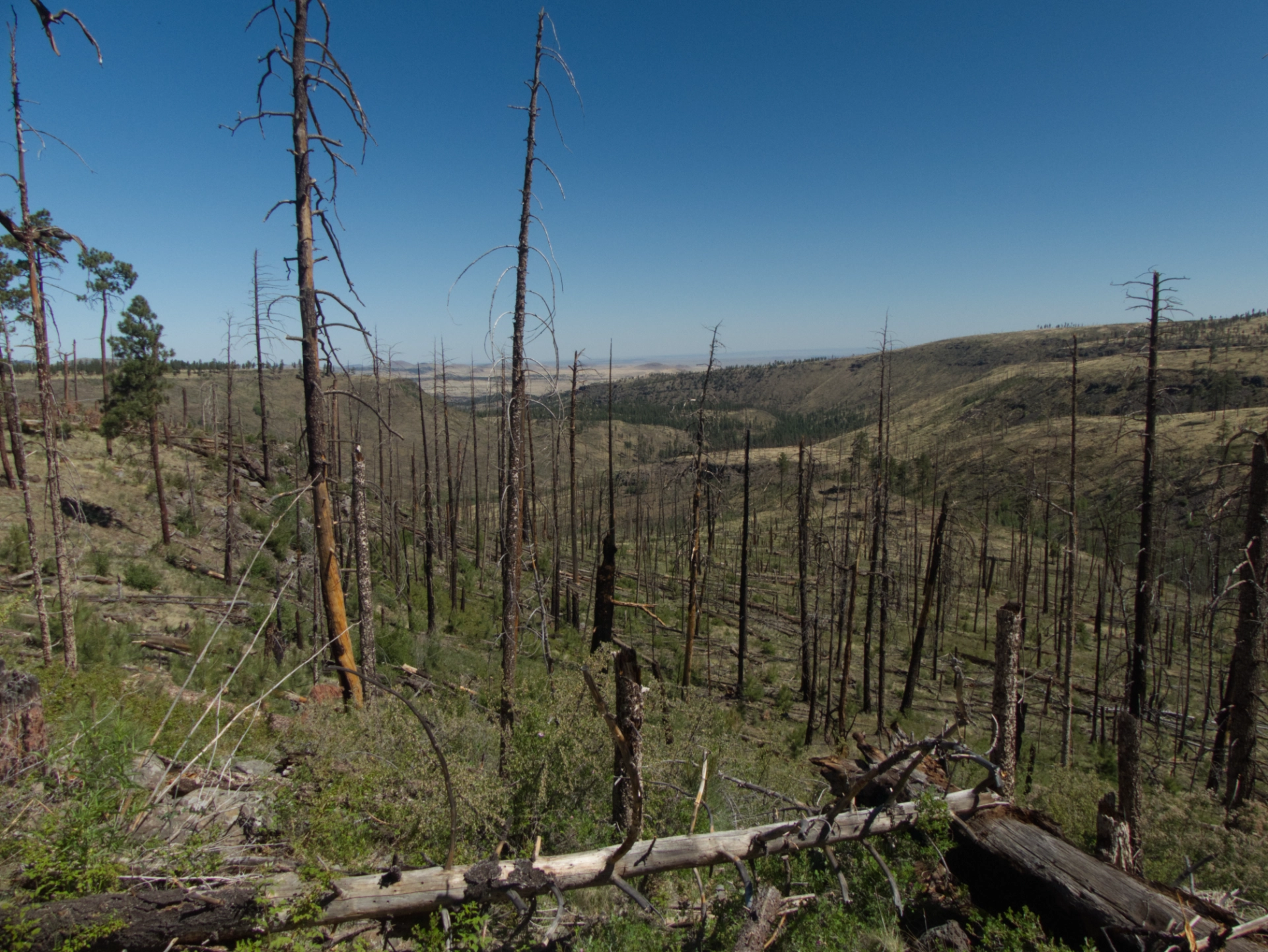
The view was apocalyptic. The Bear Wallow Fire incinerated every tree as far as the eye can see 13 years ago. Our island forest is surrounded by burn scars, and the fire gets closer every year.
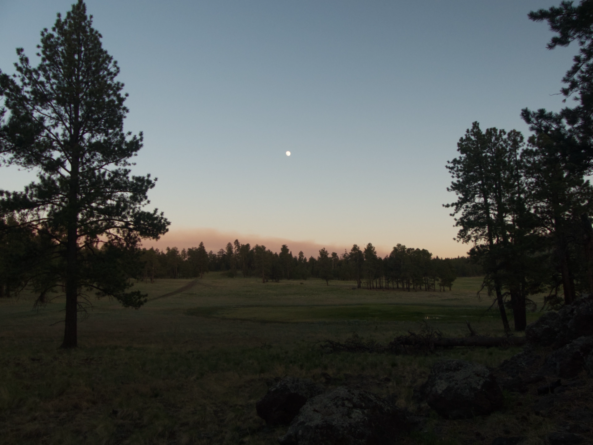
We picked up a game trail and eventually made our way back to camp via a wonderfully green dry creek bed. But by then high wind was buffeting our camp, and we had to spend the afternoon inside. Full moon and a smoky sunset from the Foote Fire, burning south of Alpine.
June 20
All night the wind tossed the RV like a cork on the open ocean. In the morning, the temperature was only in the 50s — too cold to do anything outside. Meanwhile, 200 miles away in Ruidoso, 1400 structures burned and 8000 people were evacuated as three massive wildfires threatened to merge. Have I mentioned lately how much I hate the month of June?
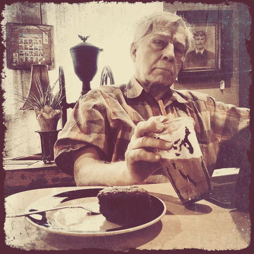
Time for a town day — too windy for anything else. Off to Springerville for
Junk & Java and a visit to the fabulously overstocked (and misnamed) Western Drug & General Store.
We were aiming for somewhat lower elevation that was more or less along our route home. We found a great spot on the west side of the Gila at 7000' with a 360° view.
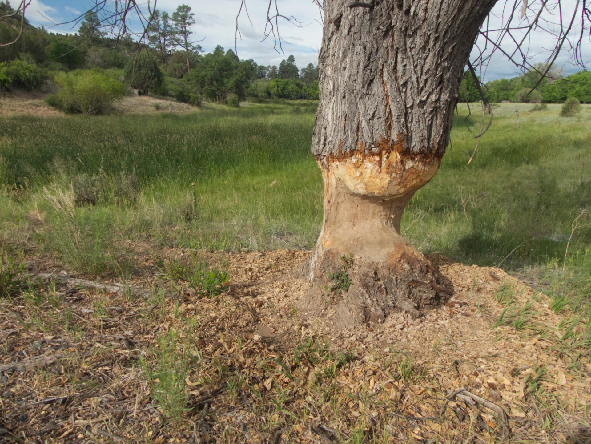
DETERMINATION.
June 21
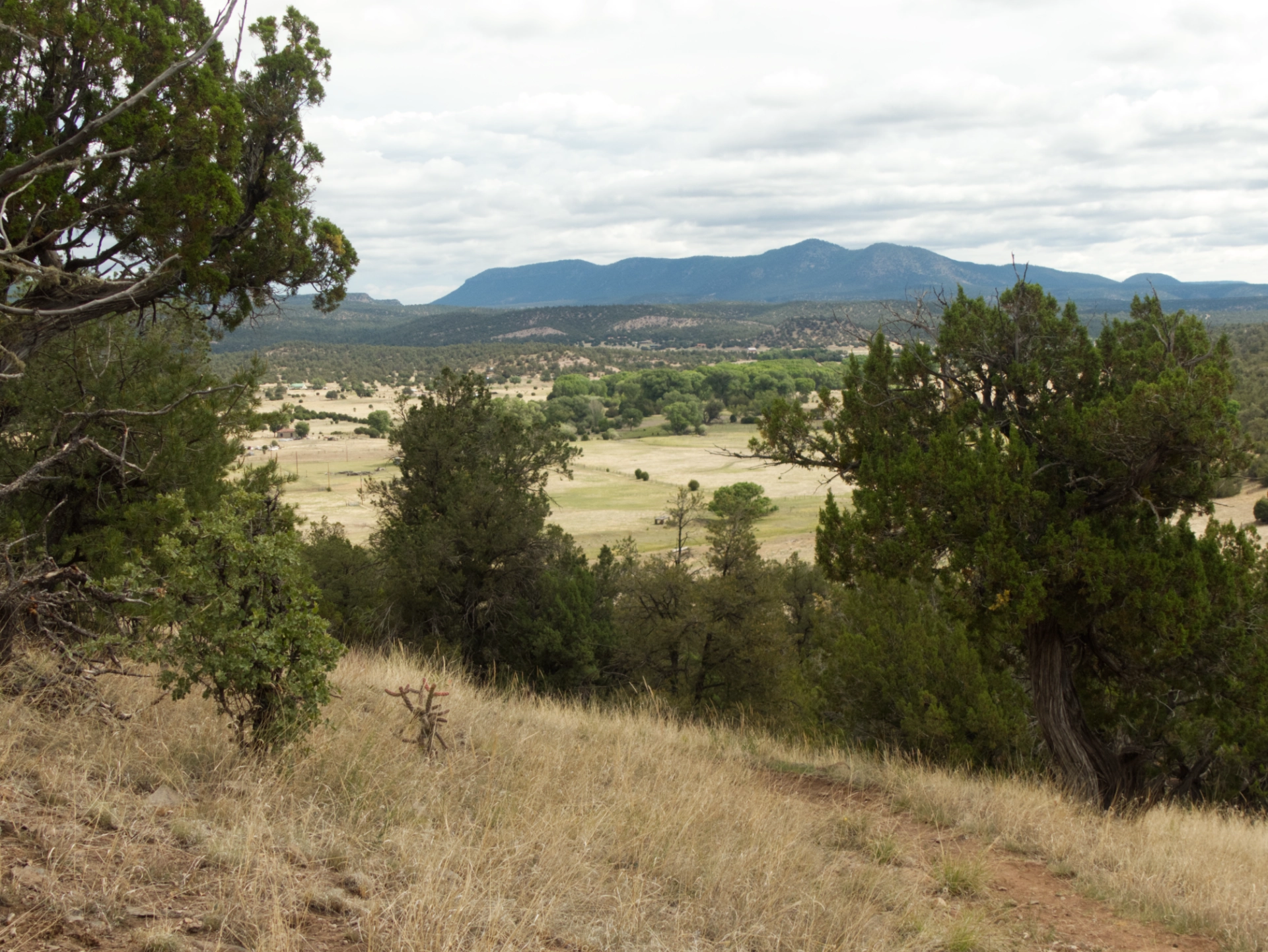
This trail down to the Tularosa River has been on my radar for years. It's definitely well off the beaten path!

Tularosa Ranger Station cabin, built in 1905. There is quite a nice selection of glyphs here. I wasn't able to learn much about them except that they "may date to the Mogollon period".

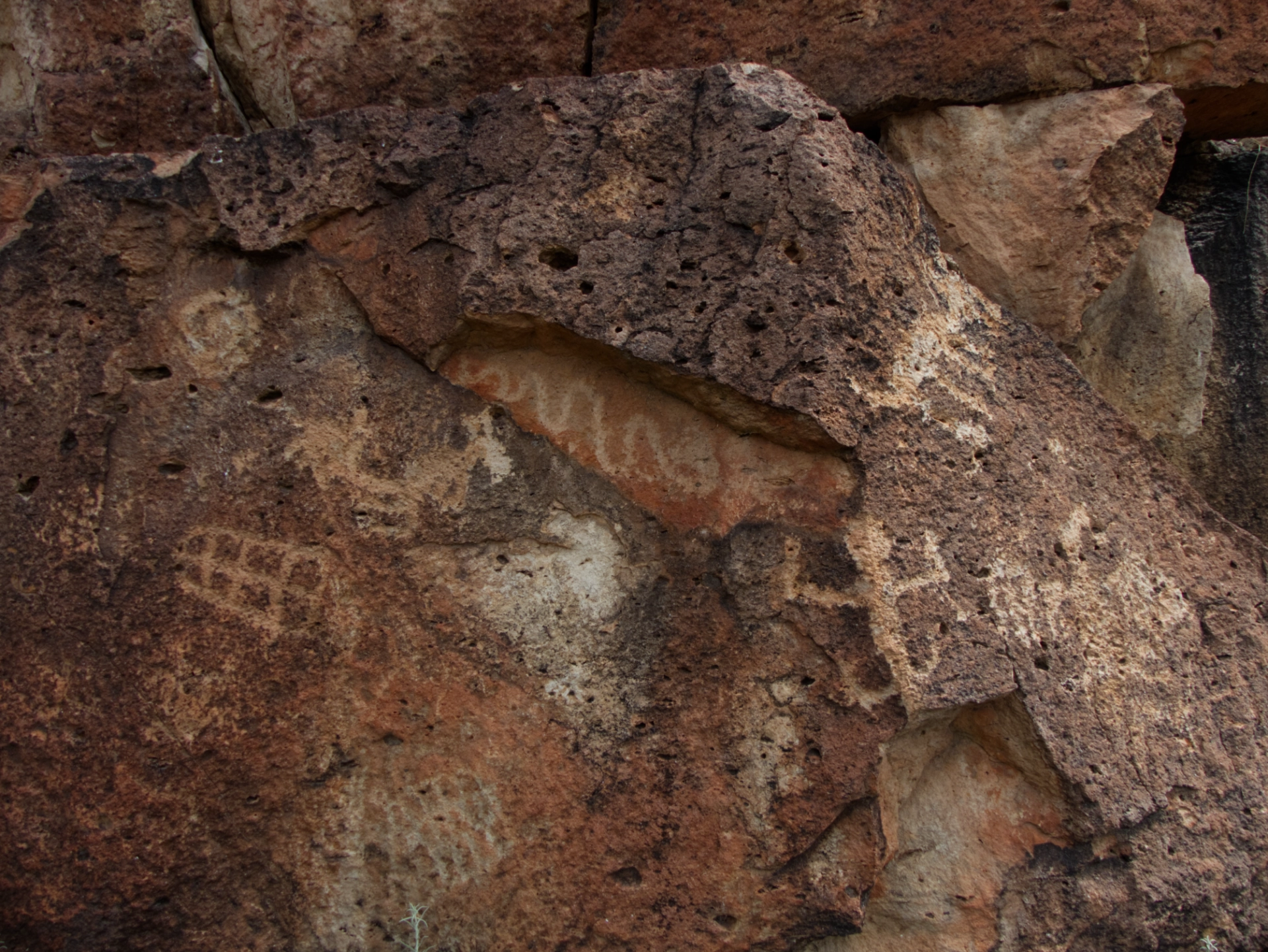
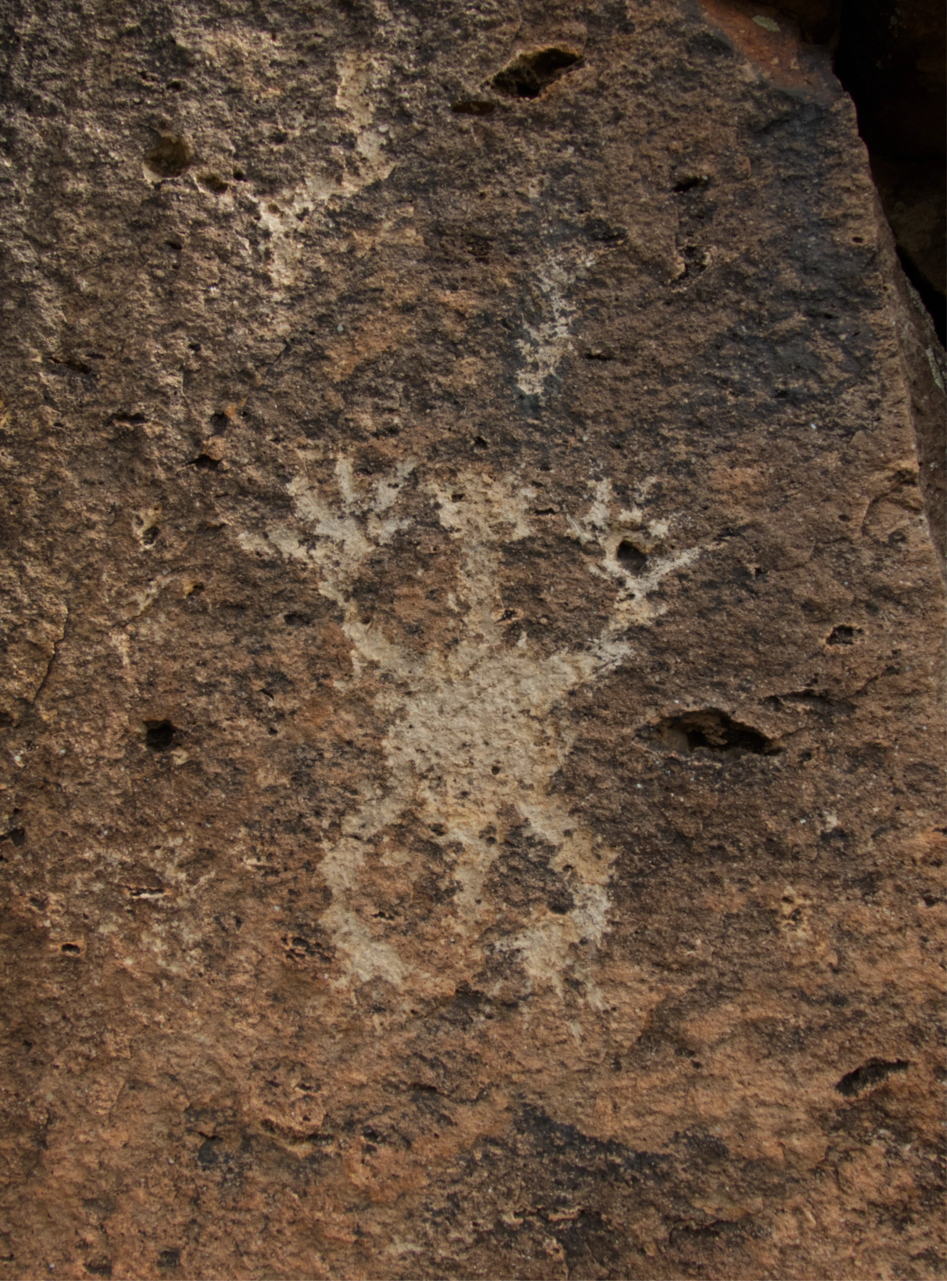
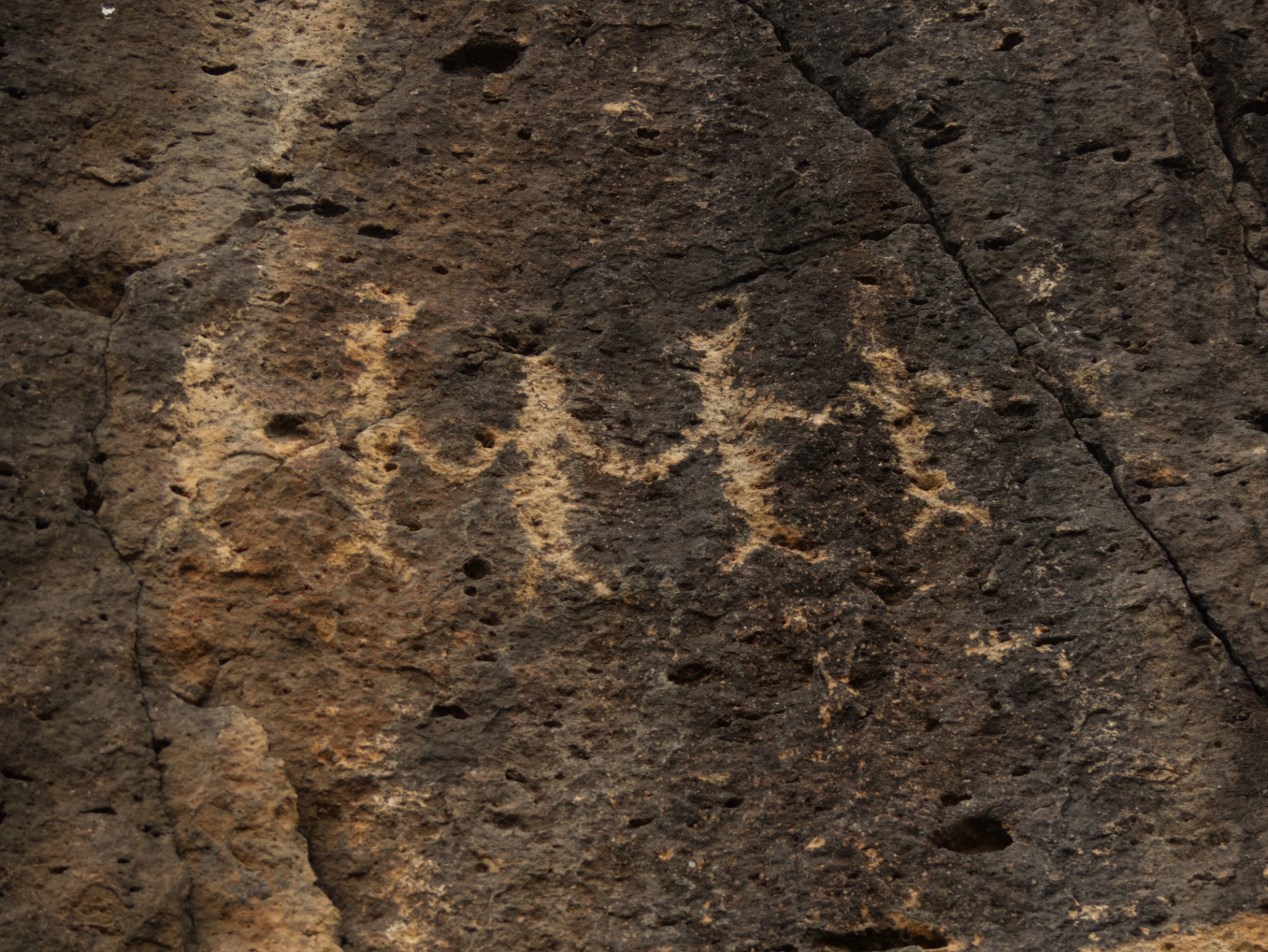

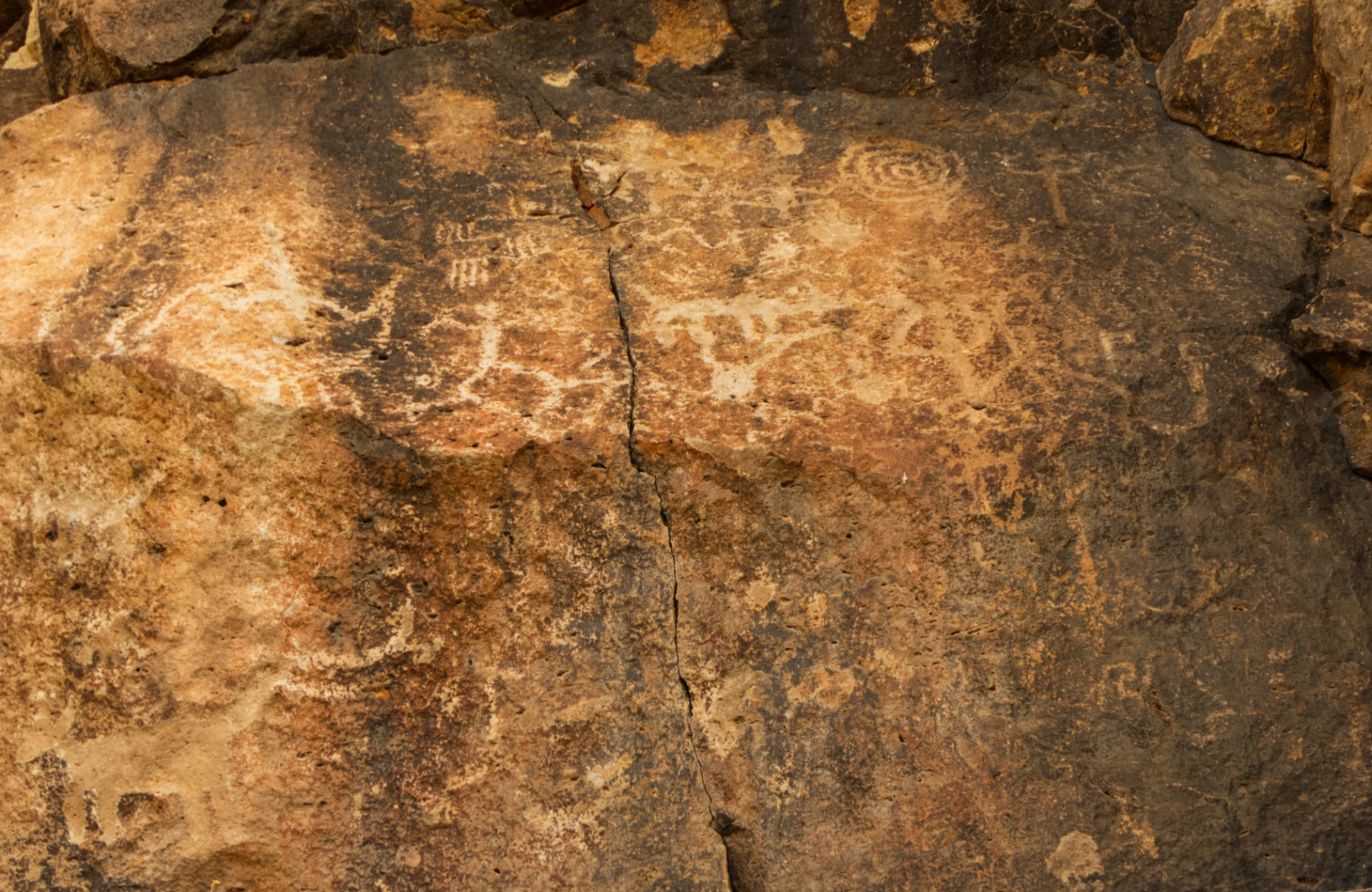
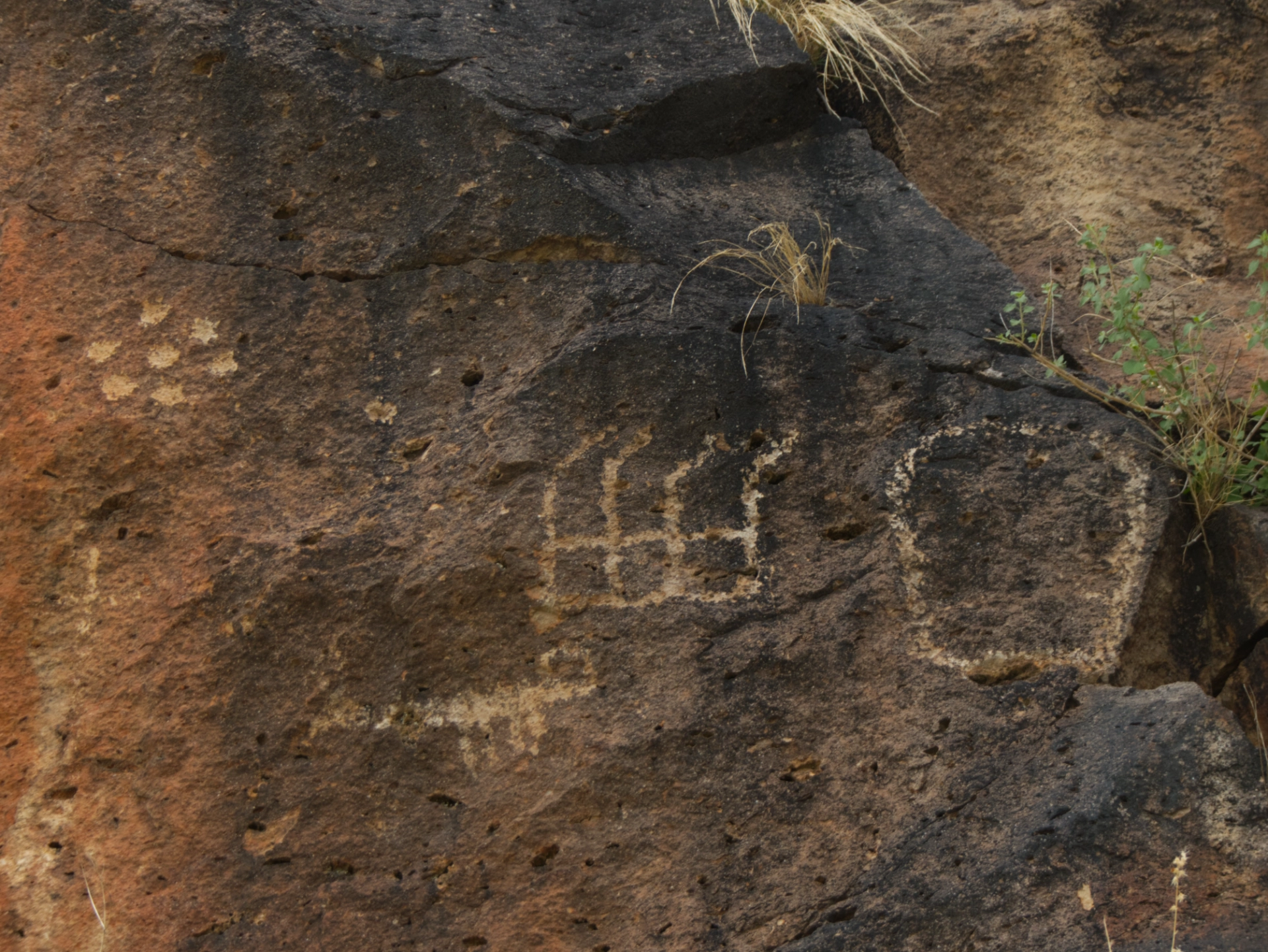

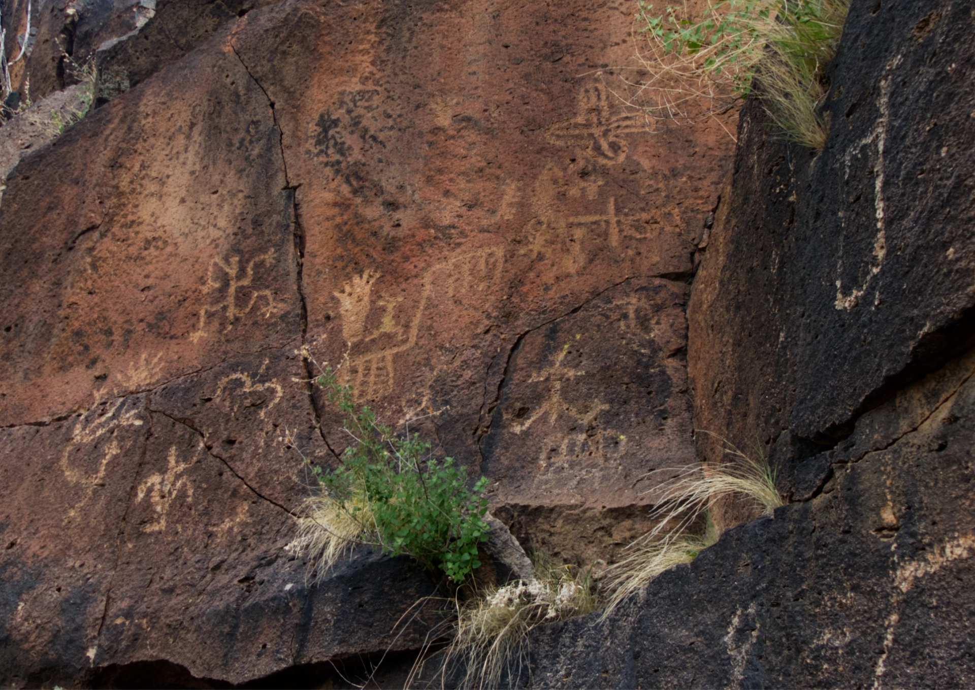
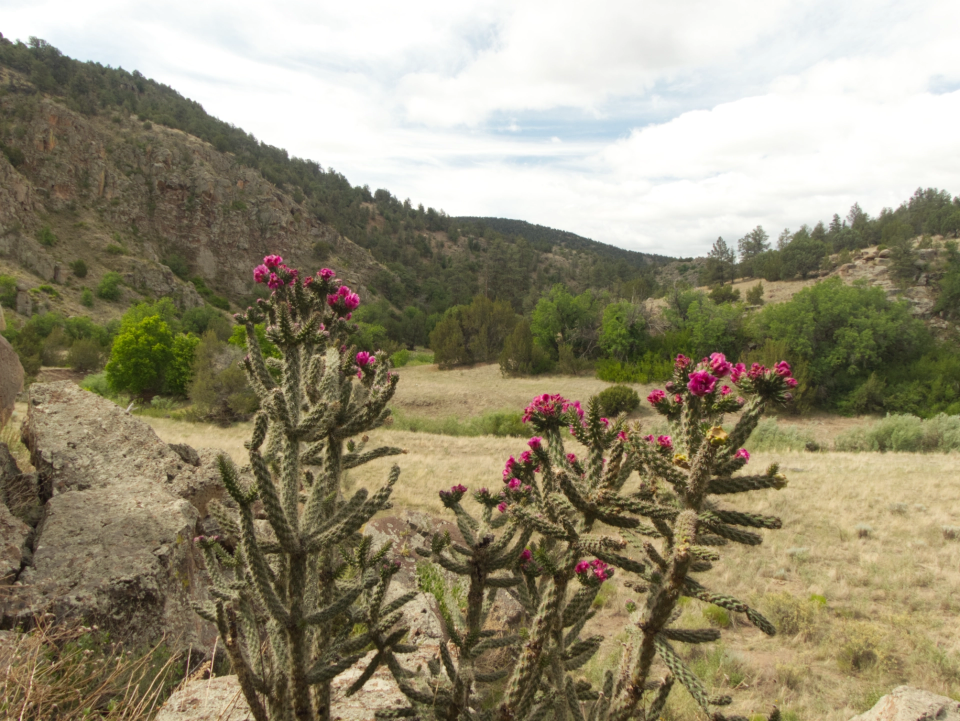
The Tularosa River valley.
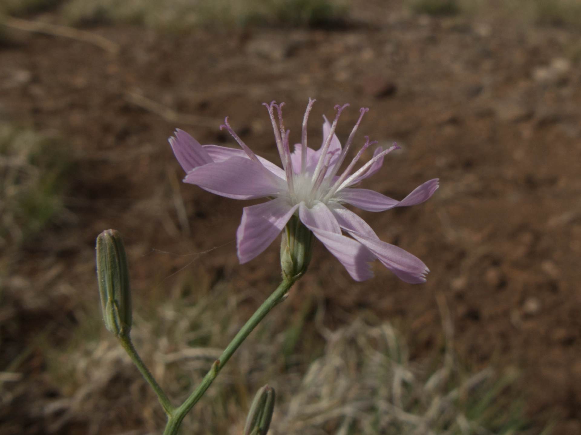
Narrow-Leaved Wirelettuce.
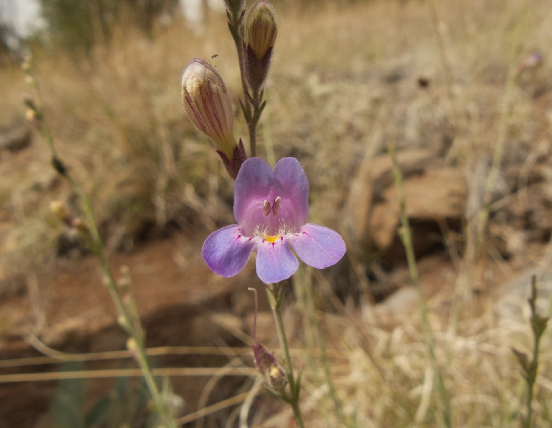
Toadflax Beardtongue.
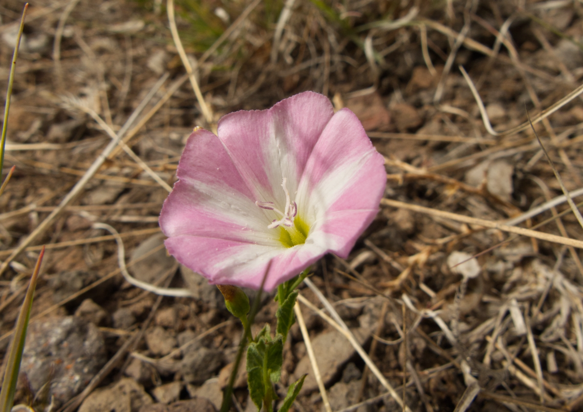
Field Bindweed. Invasive and very common, but so pretty!
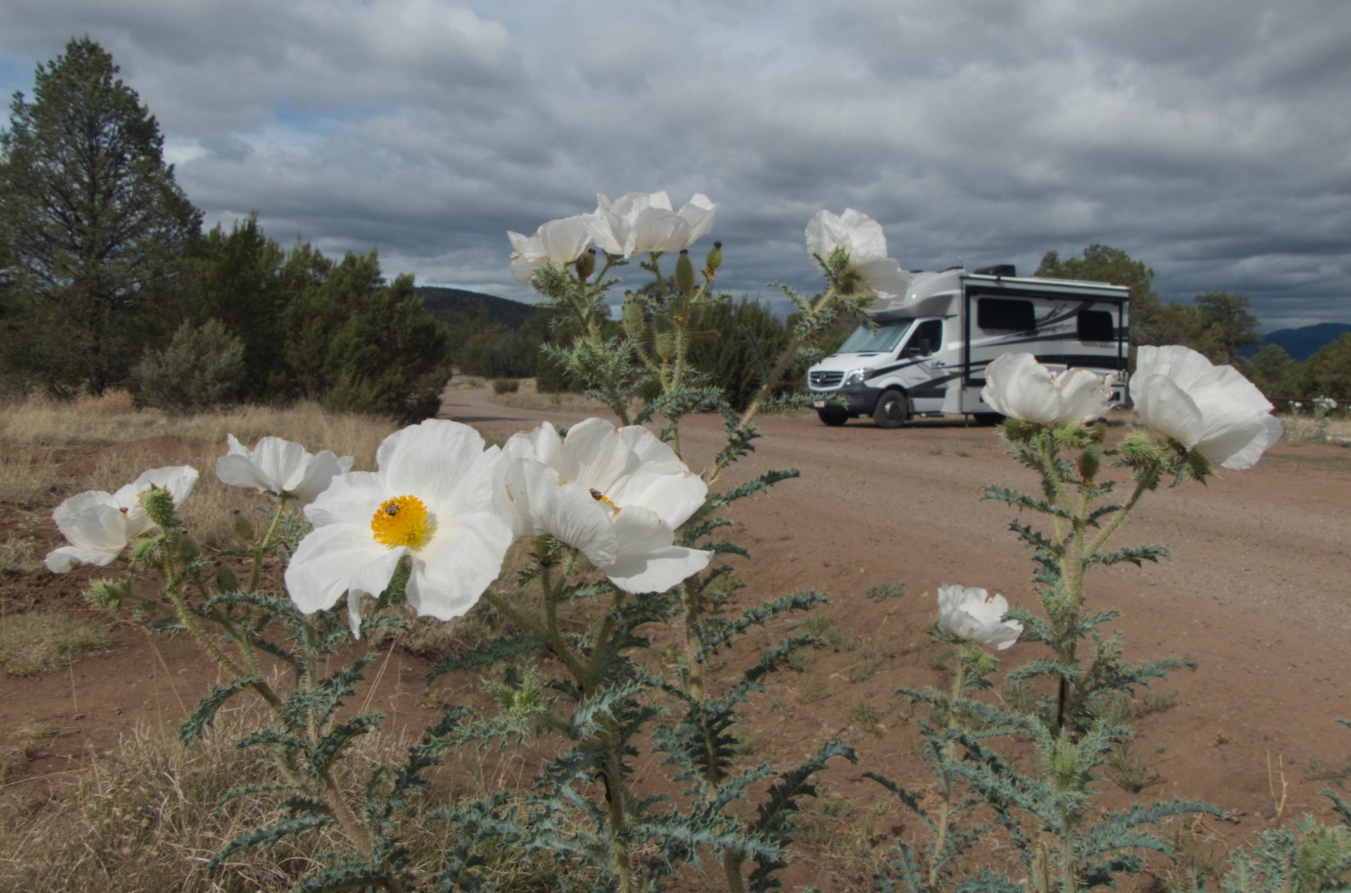
Miss Bea Haven in the Prickly Poppies. One more lunch at the Adobe Café and Bakery, and then home. And here we'll stay, at least for now, waiting for the monsoon to bring us life-giving moisture, and relief from the heat and the fires.
