Twin Sisters Via Arrastra
November 11, 2022
I hoped that one day I'd be able to hike to the top of Twin Sisters, the gleaming, double-breasted mountains that are visible from almost anywhere in Silver City. I never imagined I'd do it a second time! On our first ascent, we took the easiest route, following the CDT down from a junction near Signal Peak, 3.3 miles, +723/-1289'. I wondered if it would be possible to hike in from the Arrastra, but my hiking friends all cautioned me that this approach would be extremely difficult, if not impossible. So on a very crisp Fall morning, accompanied by Burt and Susan Z-M, we gave it a go.
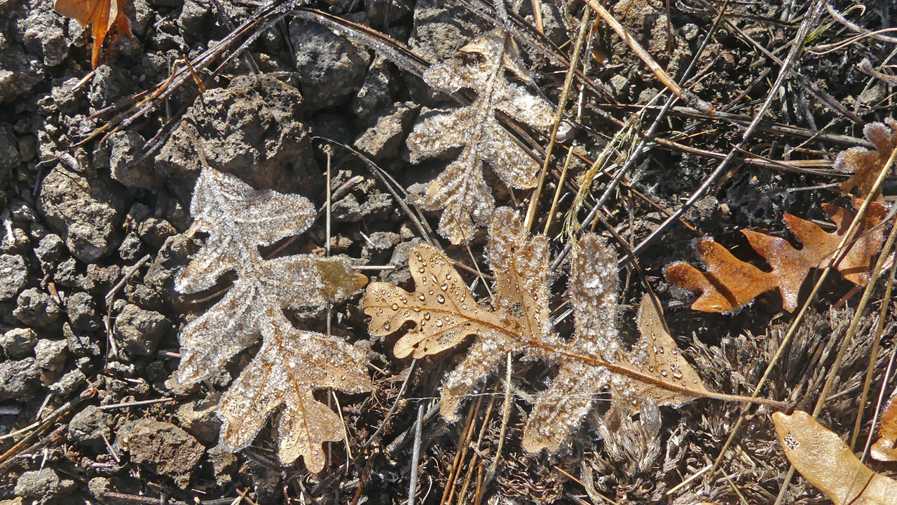
The first part of the trail is a nasty scramble up an overused ATV route. It started out quite chilly — plenty of crunch underfoot — but the climb warmed us up in a hurry!
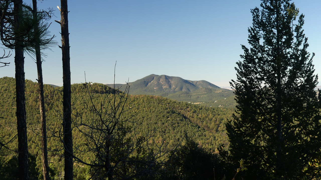
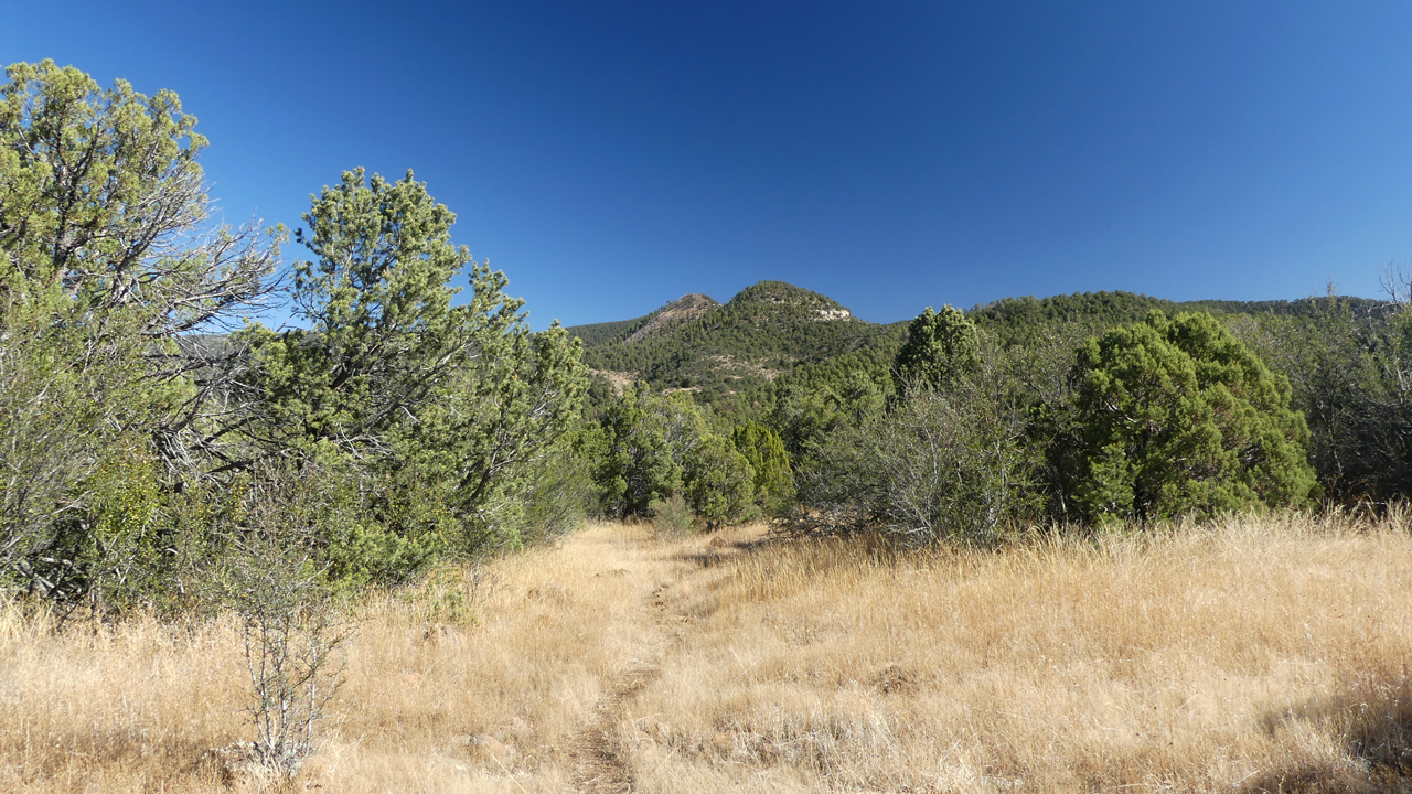
After about a mile-and-a-half, the trail enters a dense forest of Ponderosa pine, alligator juniper and gambel oak. Here there was easy and pleasant hiking along an abandoned forest road, with wonderful views of distant mountain ranges including Bear Mountain, Tadpole Ridge and beyond.
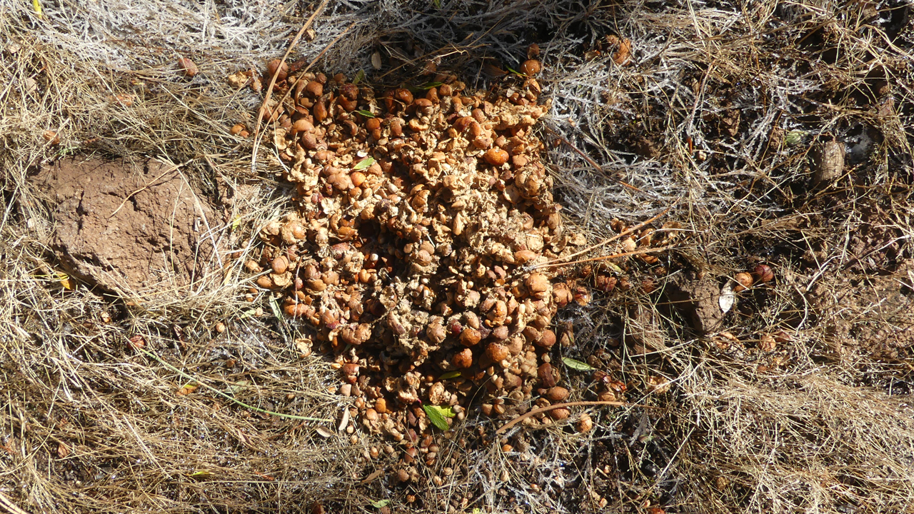
Here we saw the largest volume of bear scat per square inch that we'd seen in a very long time. Some real steamers!
After the punishing 800' climb, the road levels out and meanders along the top of a ridge, offering an unusual view of "the girls". But we were chagrined to see the old road criss-crossed by a series of ATV trails.
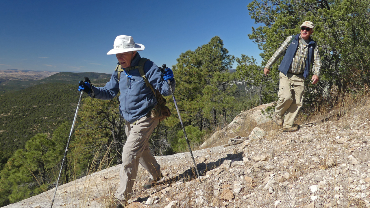
Dennis and Burt completing the last mad scramble to the top of the ridge, at +/-8000'.
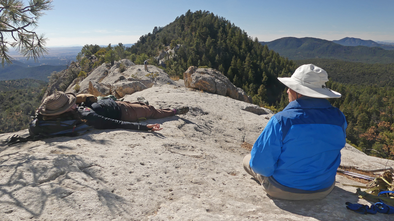
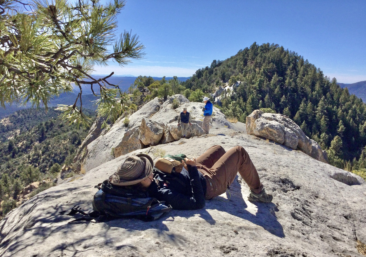
Fortunately the wind had died down, and we were free to wander about without worrying that we'd be blown off the mountain!
At 9 miles RT, +1507/-469', it was a challenging but thoroughly enjoyable hike — and maybe a new favorite. What's next? Twin Sisters via Fort Bayard?