The Sacramento Mountains
May 16-May 23, 2022
When I was growing up in northern Minnesota, I noticed that when my father read in bed at night, it wasn't "Popular Mechanics" or "Field & Stream". It was maps. Paper maps. He must have infected me with his cartographilia, because map reading is my super power. And it can come in really handy when a very well-planned trip goes totally off the rails on Day One.
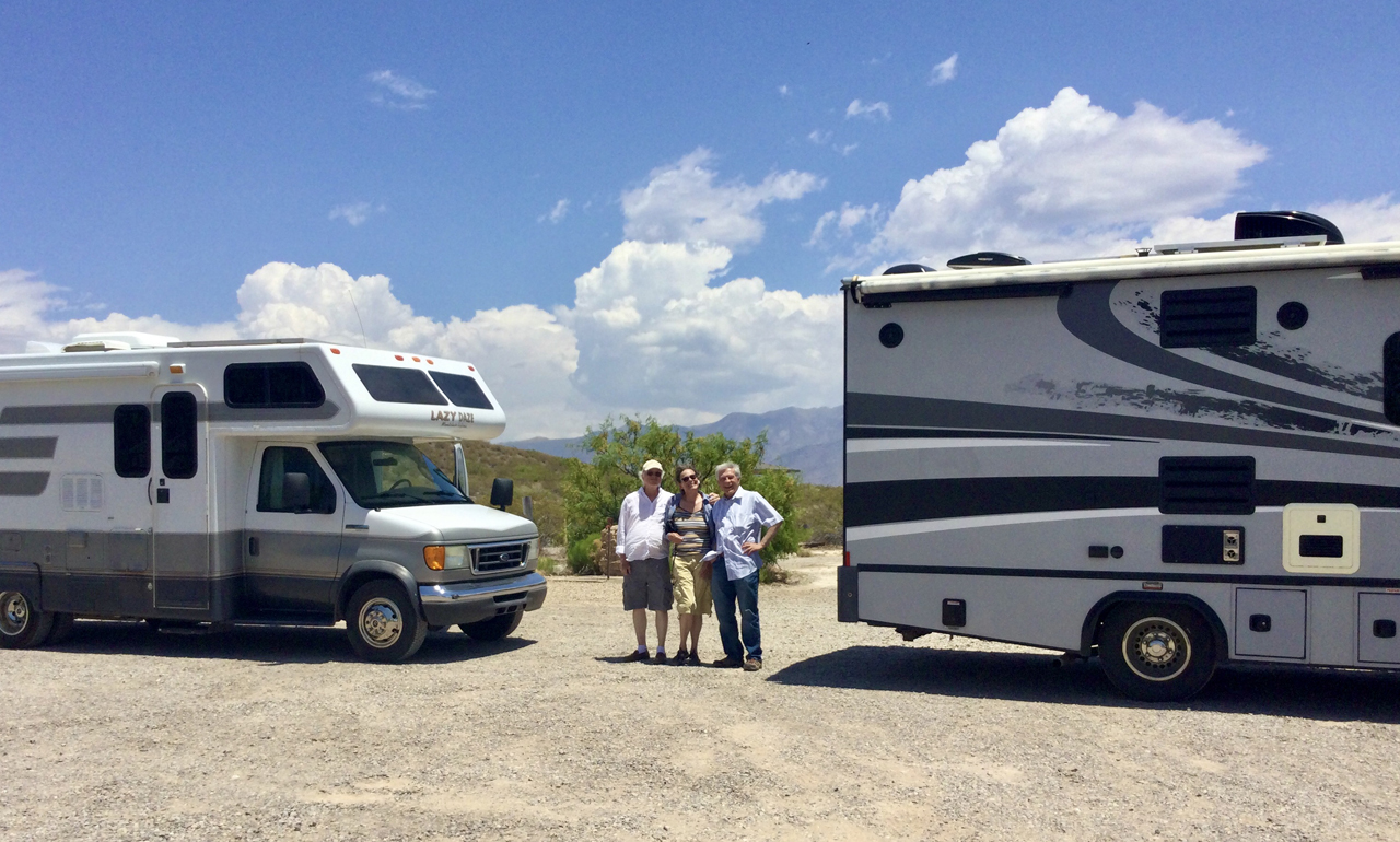
With Kim and Bill, our new favorite travel buddies, we had planned a week-long exploration of the high desert of southern New Mexico. On our list were Three Rivers, Fort Stanton, Valley of Fires and High Rolls — all areas that should have high temperatures in the 70s and 80s this time of year.
But when we landed at Three Rivers, it was already 97°F. Too hot for hiking, or even for camping, although there are a couple of nice spots here. The road to the official campground, higher in the hills, has been closed since the Three Rivers Fire of 2021.
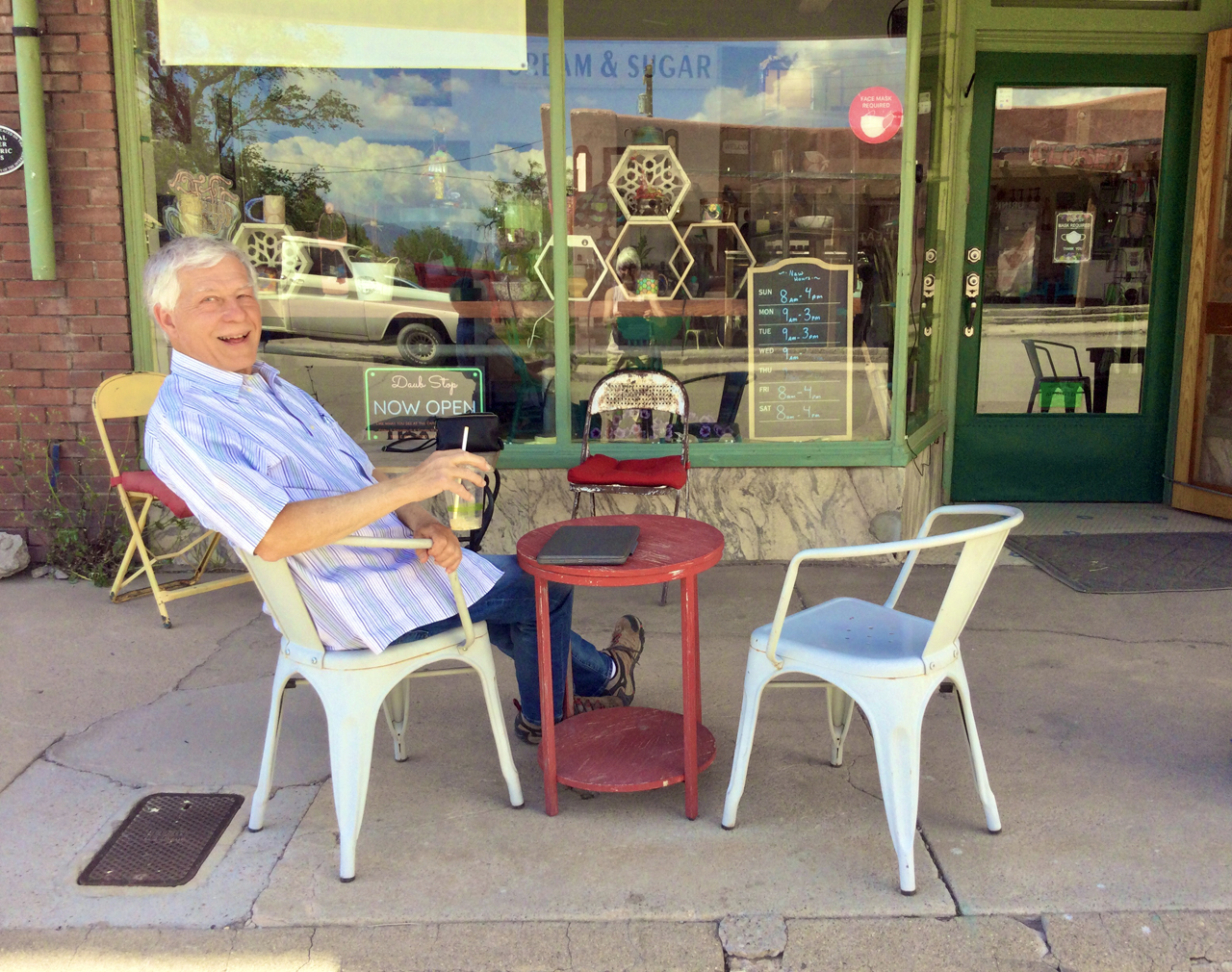
We decided to wait out the heat in Beautiful Downtown Carrizozo. I fell in love with this tiny, quirky mountain town — "Zozo" for short — when we first visited in 2016-2017. I was delighted to find that the 12th Street Coffee Shop in still in business, and still serving great coffee, and some of the best scones we'd ever eaten.
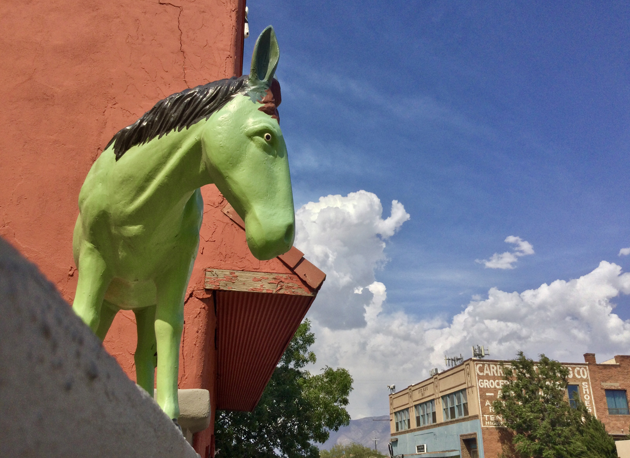
The painted donkeys are still here, but otherwise, Carrizozo's "arts district" seems to have dried up and blown away.
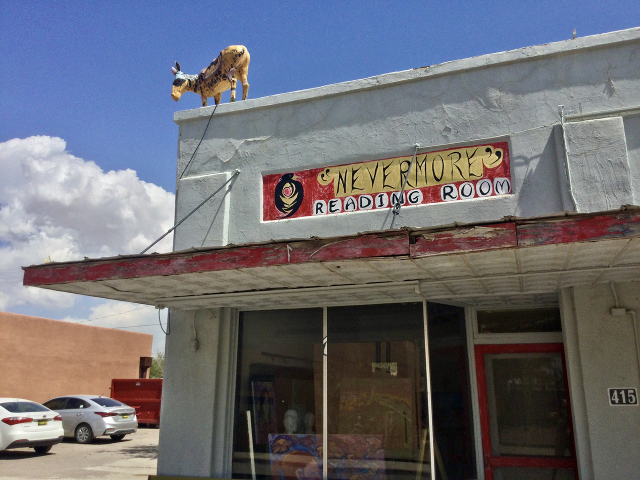
Both the "Nevermore" Reading Room and the wonderful "Heart of the Raven" studio appear to have gone out of business. No hours posted and doesn't respond to phone calls or text messages.

However down the street, the Conspiritualists are still busy spewing invective.
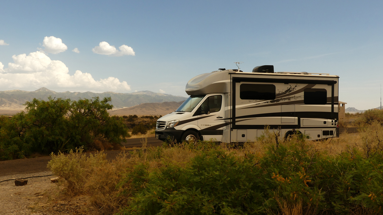
We lucked out and found two great spots overlooking the lava field at Valley of Fires. What an amazing place! The Malpais Lava Flow is 160 feet thick, four to six miles wide and stretches for more than 40 miles. It's one of the youngest lava flows in the continental United States, and the coiled and blackened lava looks like it was laid down yesterday.
To the east, Sierra Blanca on the Mescalero Apache Reservation towers 12,003 above the desert floor.
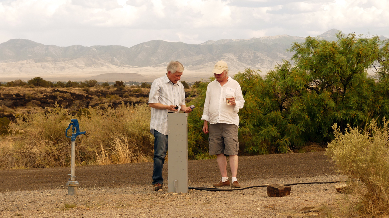
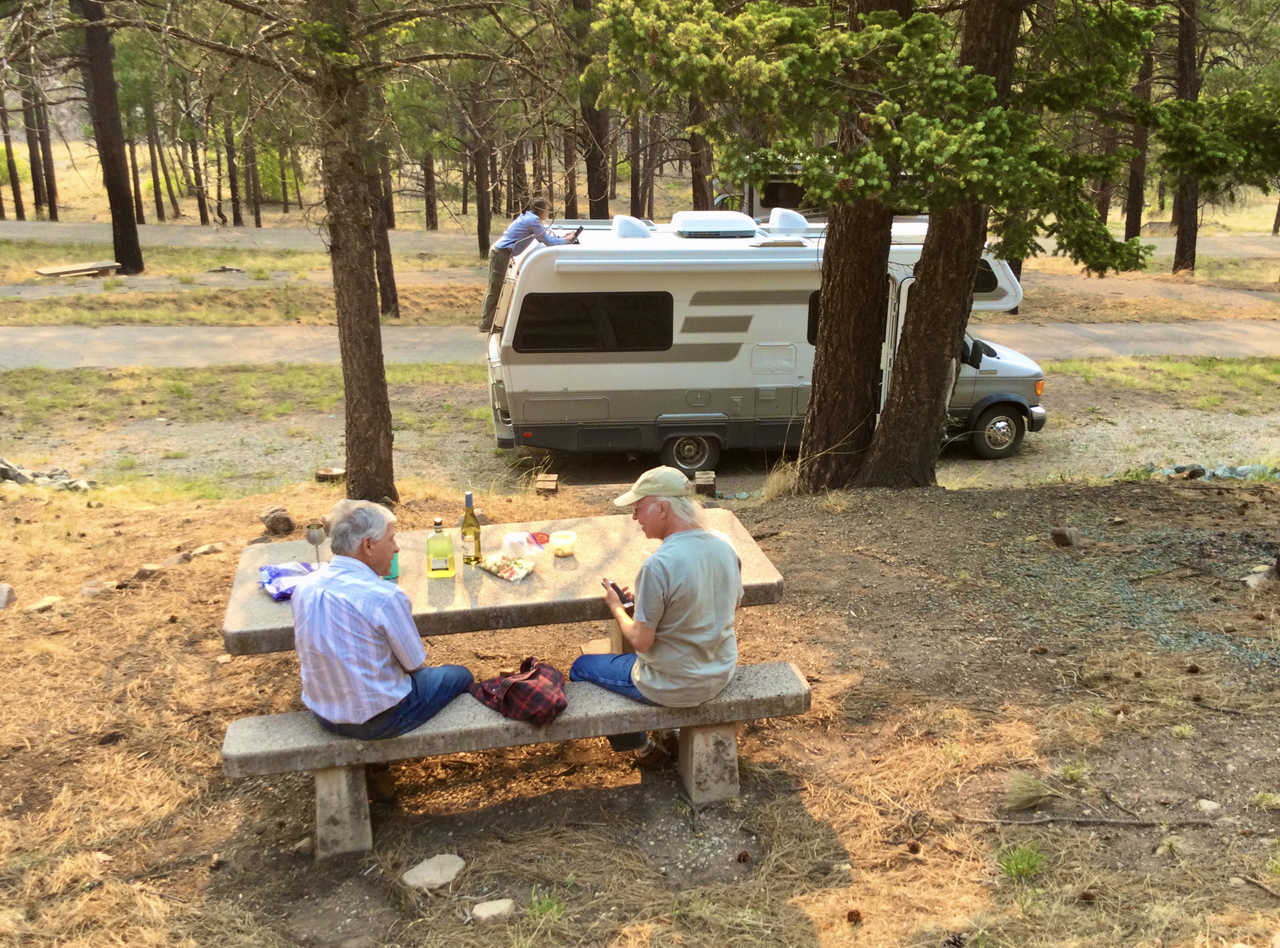
Dennis and Bill consulting on shore power.
We had a ringside seat for "Wine O'Clock", with a stiff breeze providing welcome relief from the heat.
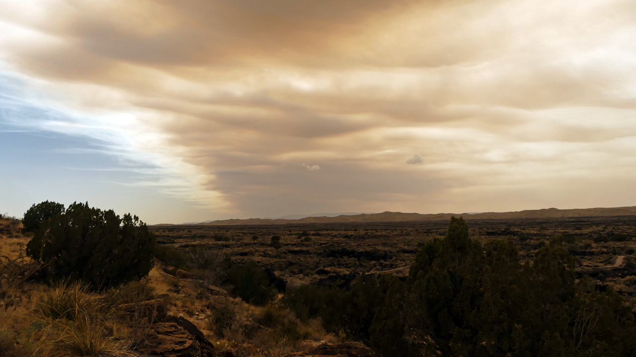
But there was trouble in Paradise. On Friday, May 13, the Black Fire was discovered near the Meown admin site in the Gila National Forest. In two days, it mushroomed to more than 1000 acres. On Monday, May 16 — the day this photo was taken — it ballooned to nearly 19,000 acres.
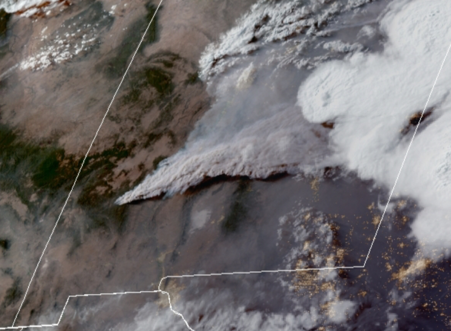
The smoke plume reached all the way across New Mexico and into Texas.
A sunset walk through the lava flow. The smoke-filled air makes it look like I applied a "Vintage" filter in Photoshop!
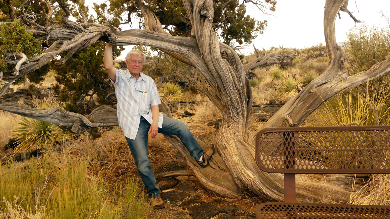
Dennis and the Venerable Juniper.
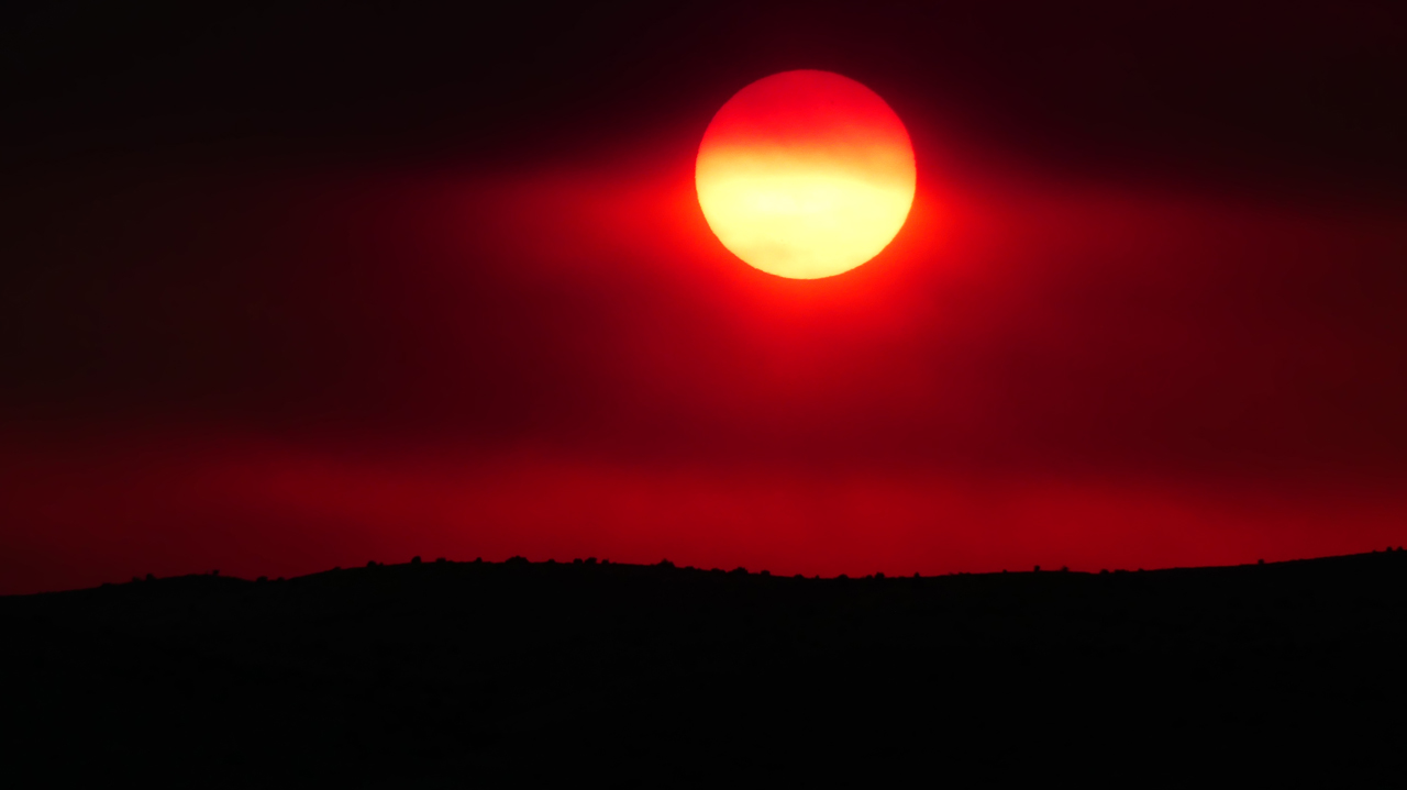
A most unsettling sunset. By dawn the fire had consumed more than 56,000 acres.
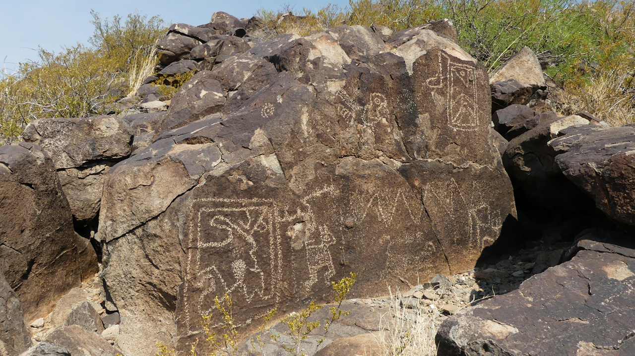
The next morning we backtracked to Three Rivers, one of the many cultural gems of our new home state. On a low basalt ridge here are over 21,400 petroglyphs carved by the Jornada Mogollon people between 400 and 1450 AD. Our best photos selected from the hundreds we took that day deserve their own page.
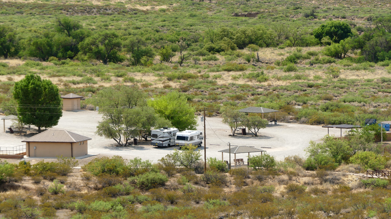
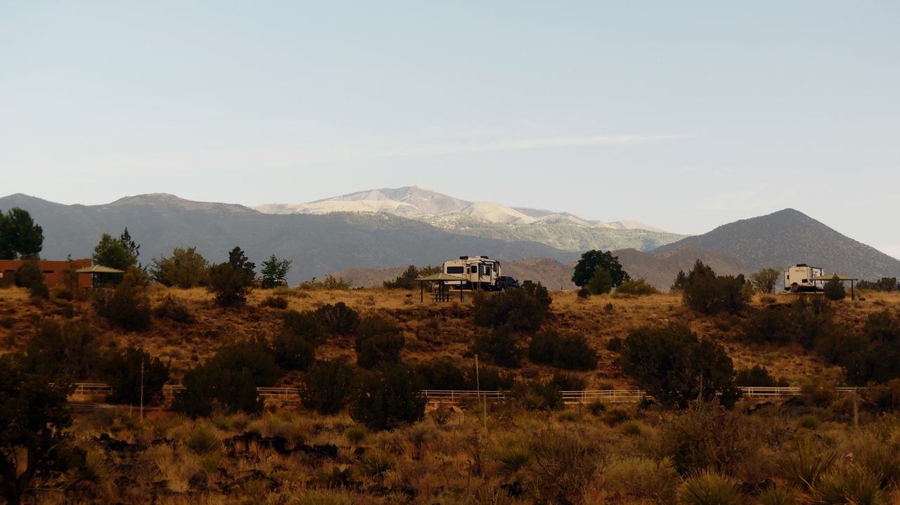
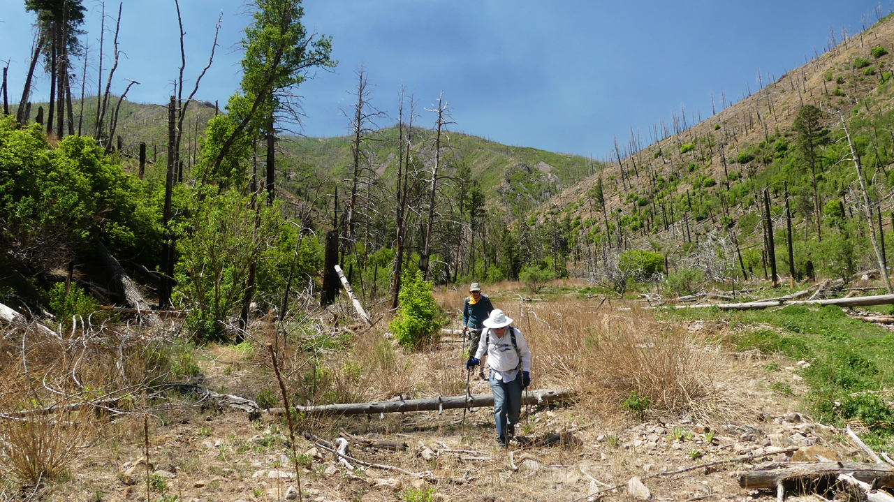
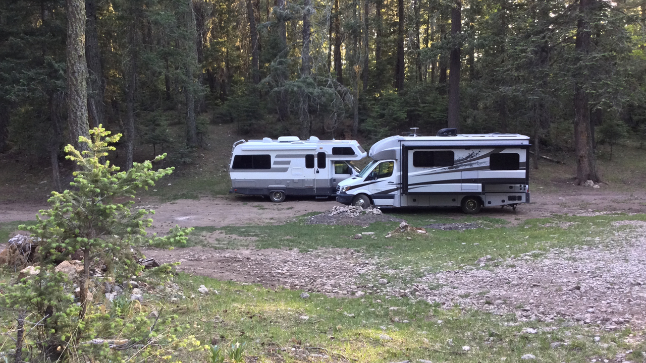
Back at our rolling homes, cooling their wheels in the shade of a few desert willows. We continued to Fort Stanton as planned, but found the dispersed camping area under construction. The work crew nudged us toward the "much nicer" official campground, but at $20/night it was a huge gravel parking lot with nary a tree in sight. It was hotter than Hell, and of course Fort Stanton is closed Tuesday - Wednesday. We ran.
Over the hills, past the mystery airport, through the highest concentration of McMansions any of us had every seen, into hills covered in nothing but charred matchsticks. Up the road warning us that all the campgrounds in the area were closed to public access. But one of them was open, and it was a beauty.
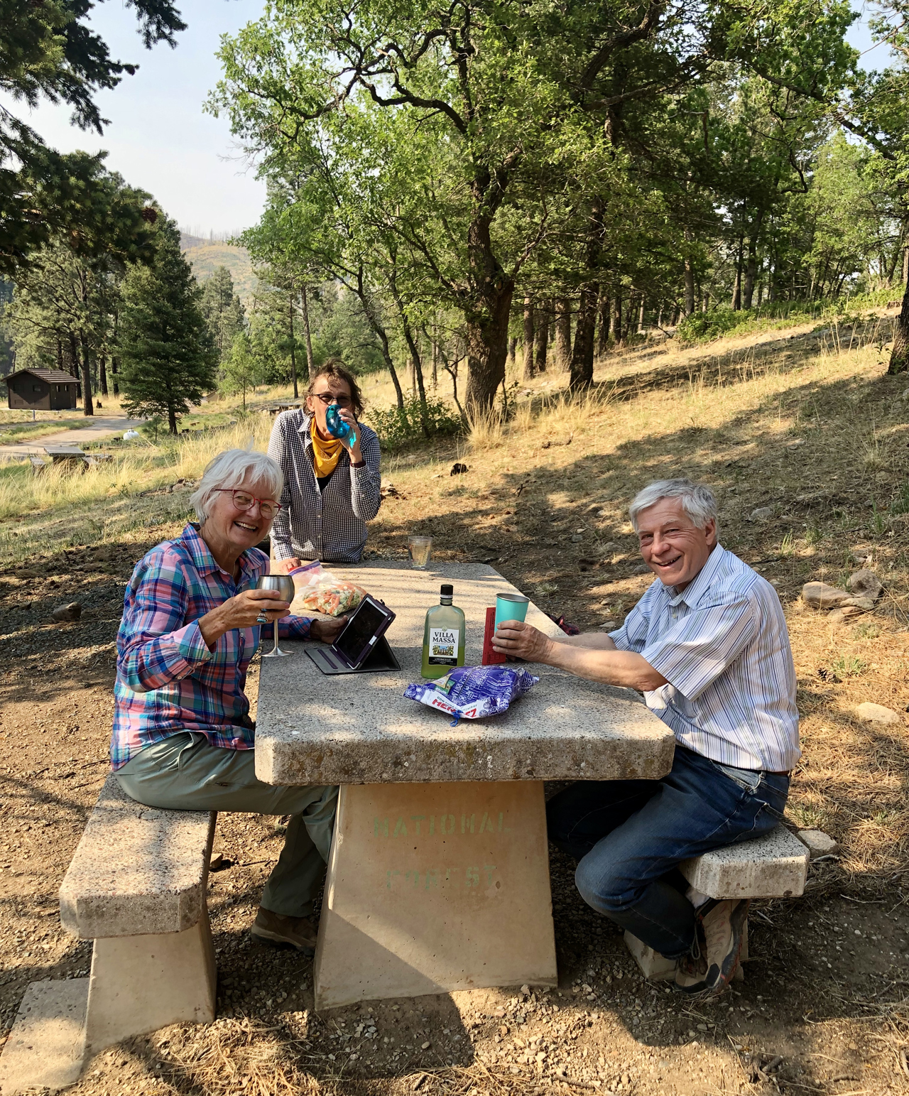
Wine O'Clock in the cool pines at 7600'.
Kim searching for one more "bar" during Happy Hour.
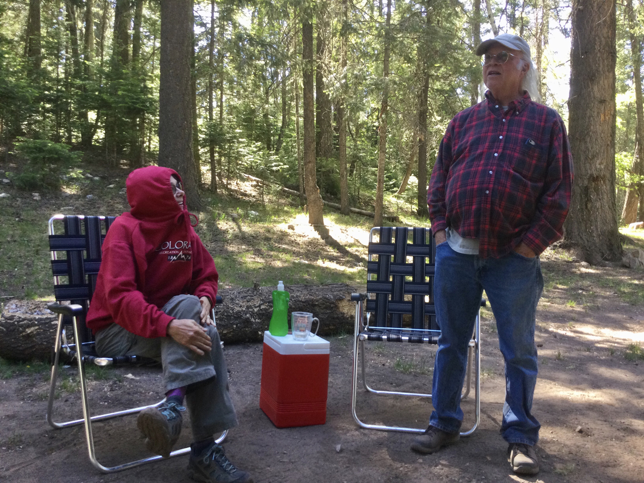
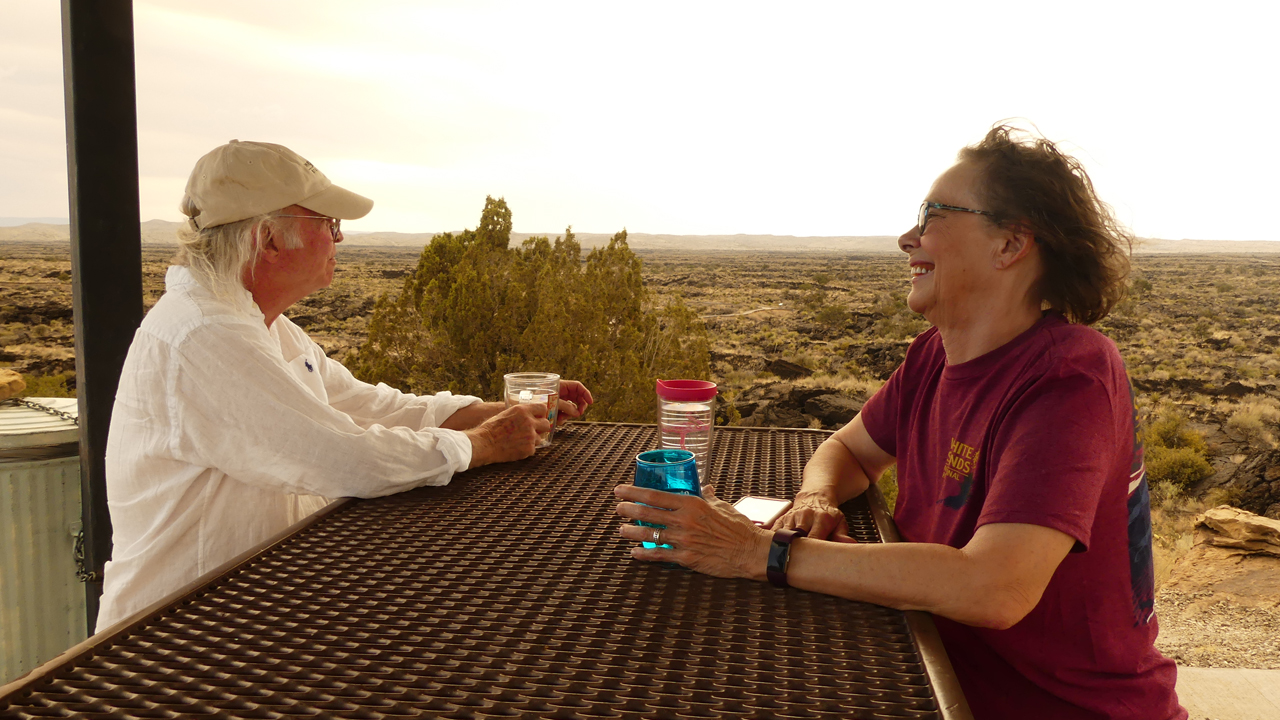
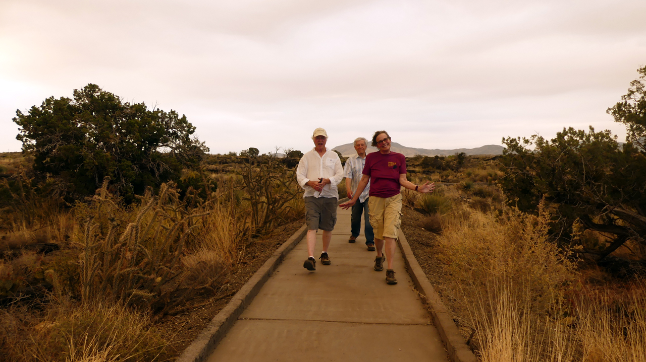
Kim and Bill. The evenings were blissfully cool.
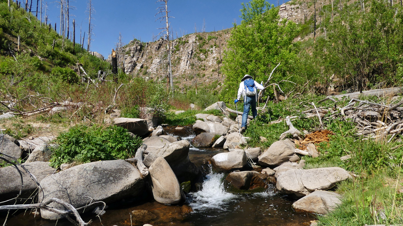
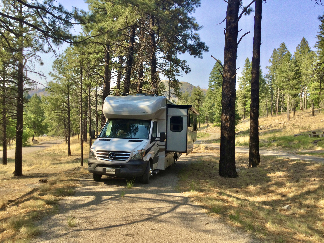
We'd stay two nights here, happy as clams in a Ponderosa pine forest that escaped the Little Bear Fire of 2012.
Ten years later, new life is erupting along the banks of a bounding stream.
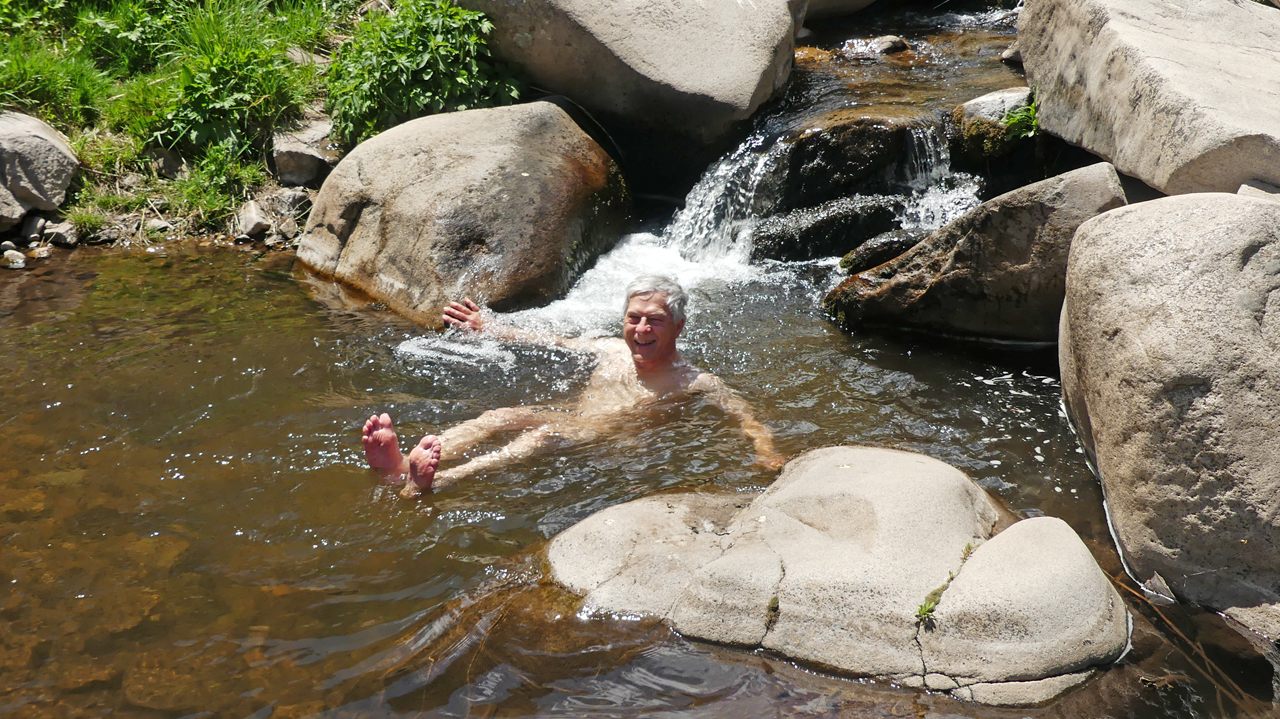
We even managed a dip in a sparkling pool.
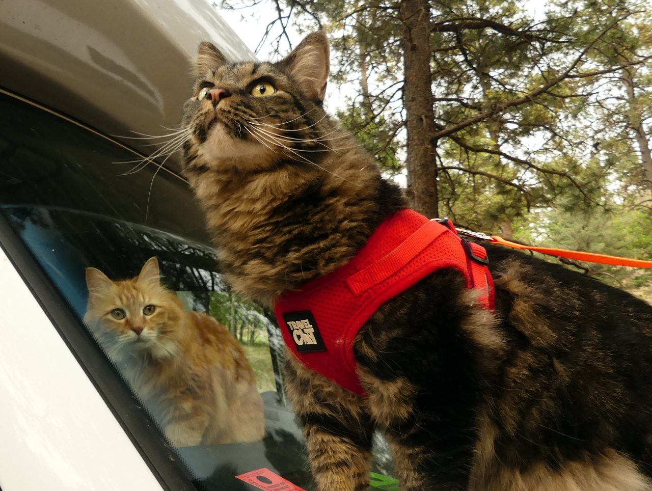
And Elio got out for a walk, which he very much appreciated.

Madeleine prefers the gentle comforts of home.
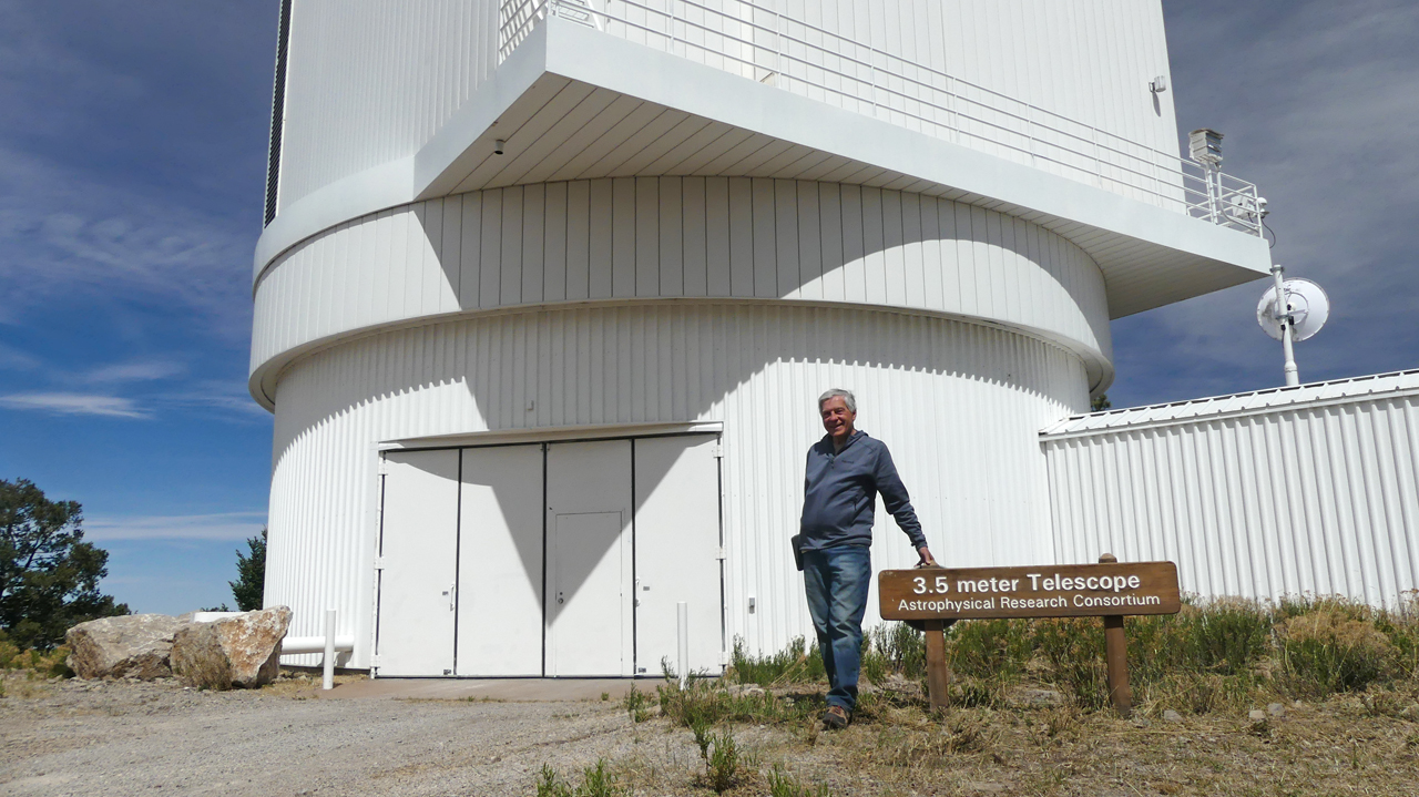
So, where to next? We decided to use the occasion to explore the Sacramento Mountains, an area that was entirely unfamiliar to me. We included a stop at the Sunspot Observatory, where there is a lot of interesting hardware, along with a tentative but serviceable cell signal.
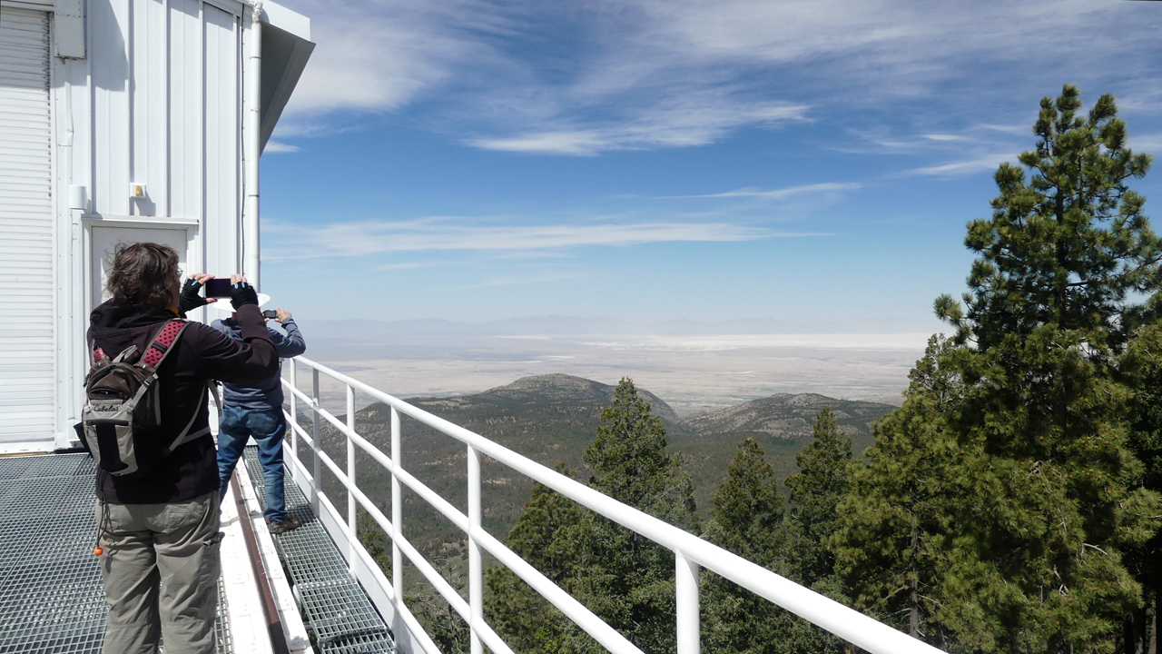
Overlooking the gleaming expanse of White Sands and the Tularosa Valley.
Acting on a tip from a most helpful forest ranger, we found a nice spot on a forest road at 9200'.
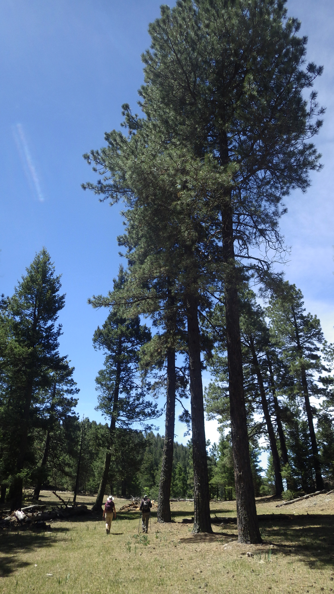
With no internet to distract me in the evening, I had lots of time to study maps! The Sacramentos really aren't a mountain range at all, but a very high undulating plain with many small, unnamed prominences. Just below Sunspot, the Crest Trail follows an abandoned road along the edge of an impressive cliff. No jagged canyons or imposing summits here, just a gentle wander through grassy meadows and a marvelously intact forest of mixed Douglas fir and aspen.
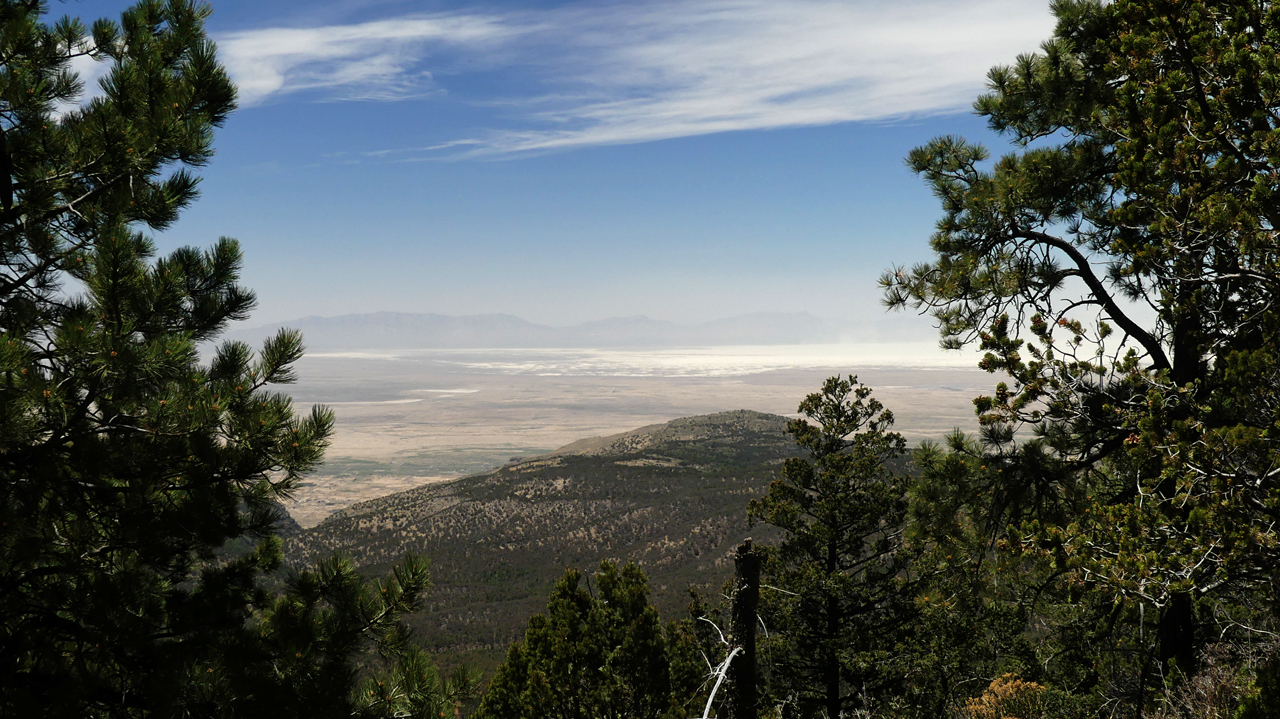
About two miles out, we dropped into a saddle where there was an unforgettable view of the valley below, and of White Sands wafting a veil of fine gypsum thousands of feet in the air.
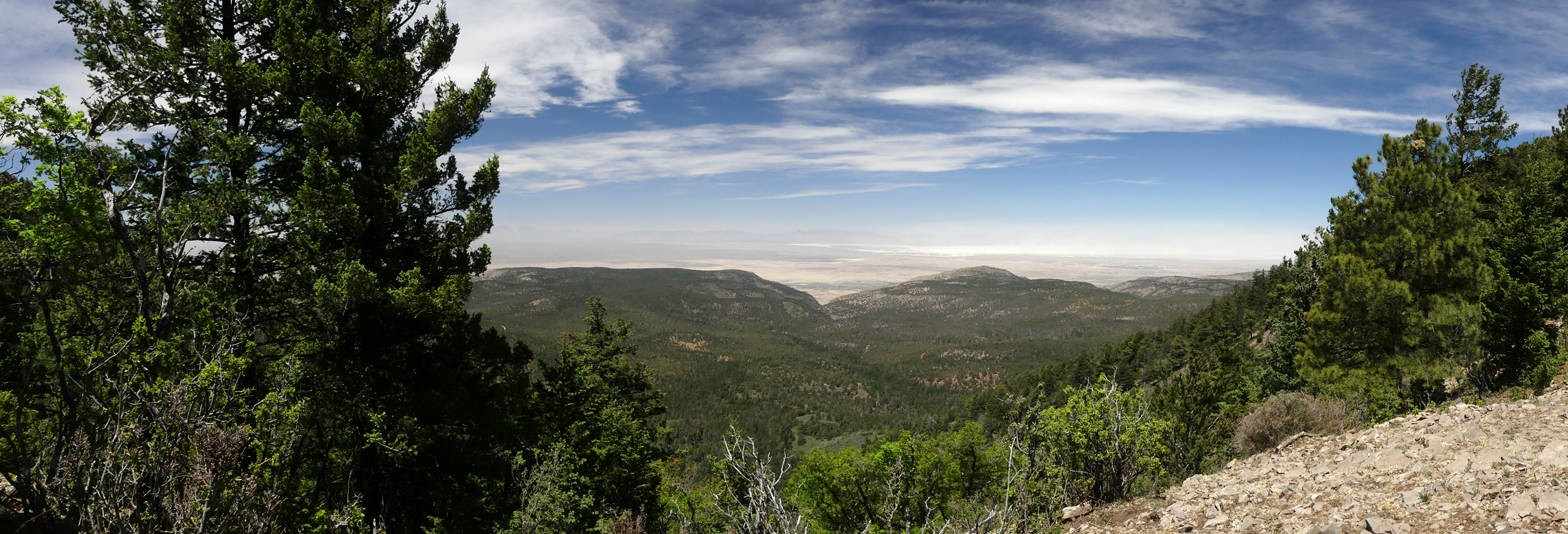
Scroll for a panorama!
Dennis creates a portal to another dimension using a discarded section of irrigation pipe.
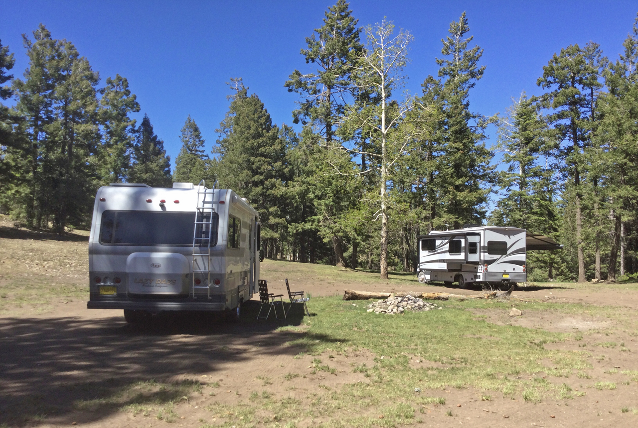
"But wait, there's more!" With just two days to go, we decided to explore a bit farther up the road, where we bagged this lovely campsite overlooking a long alpine meadow. There was even an occasional whiff of internet. I can't think of too many other places in southern AZ or NM where you can camp at 9500'.
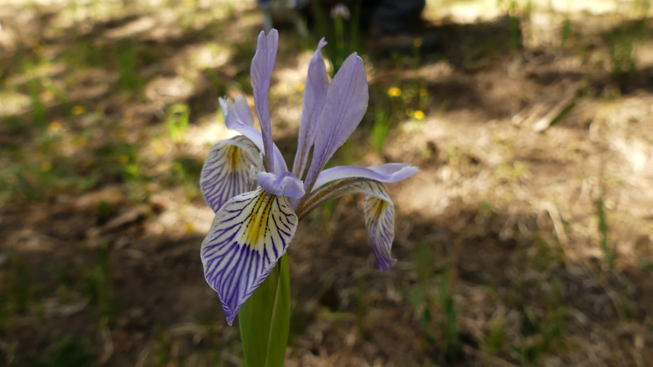
There were plenty of alpine wildflowers, including wild strawberries, Canada violets and Potentilla, but the dramatic lighting made them difficult to photograph. Here's a Rocky Mountain Iris, a bit smaller and paler than its lower elevation relatives.
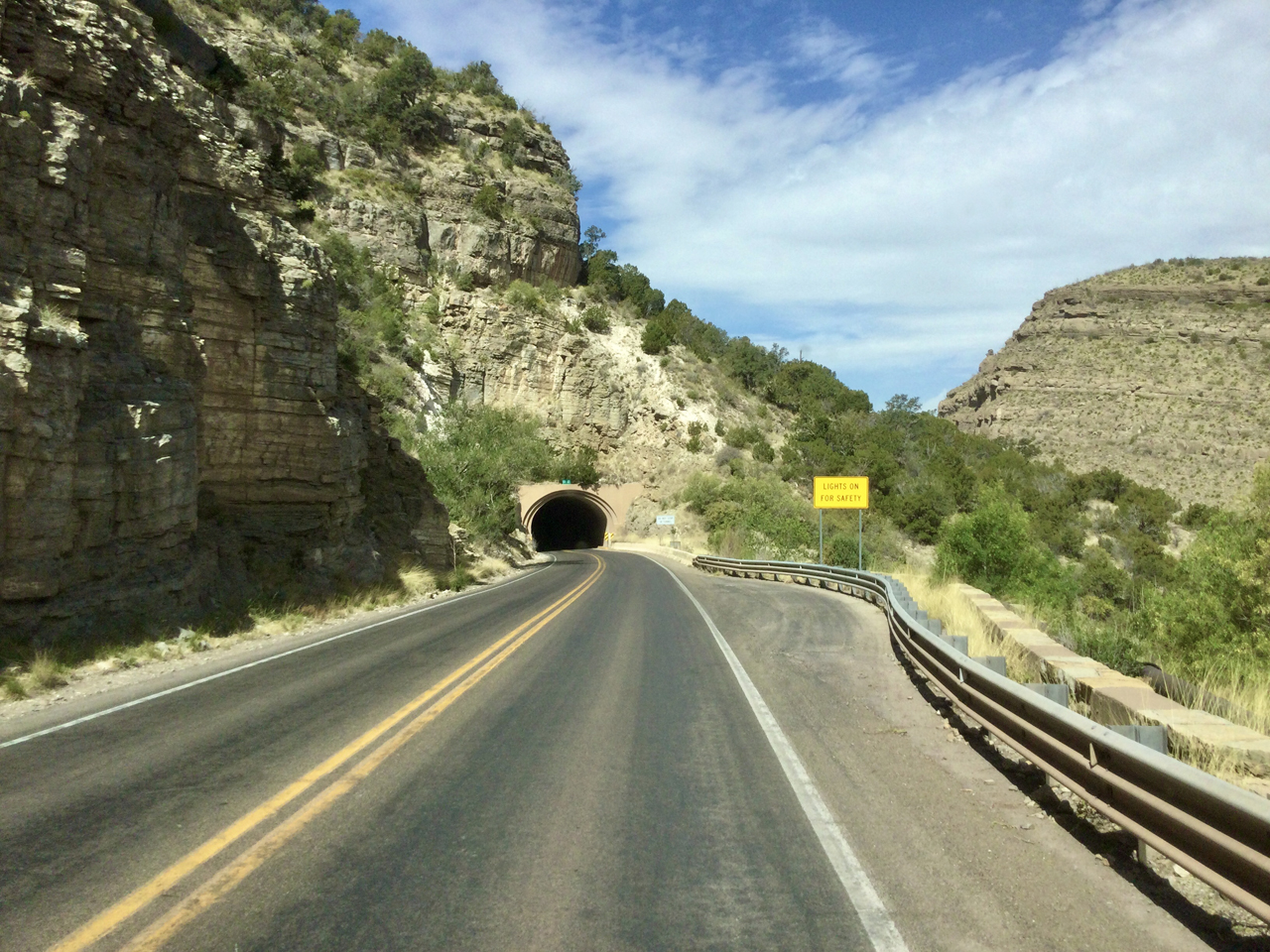
And then, sadly, it was time to go home. Here we are dropping like a rock, 5000' in 30 miles.
Epilogue: As of Monday, May 23, the Black Fire has exploded to nearly 150,000 acres, and is perilously close to the tiny villages of Winston and Chloride. Moments ago, we learned that the Lincoln National Forest will close on Wednesday, May 25. And not a minute too soon. A new fire just broke out 15 miles east of our last campsite.