North Star Mesa
May 20-21, 2021
After five months of heroic effort, our home renovations are mostly done, and we are finally free to explore our spectacular new surroundings. But where to begin? We are surrounded by mountains, and just north of us is the Gila Wilderness, New Mexico's largest wilderness area, flanked by the equally impressive Aldo Leopold Wilderness Area. The two are separated by a narrow corridor of national forest land, traversed by FR 150 aka North Star Mesa Road, which runs all the way from Mimbres to Beaver Head. Let's go!
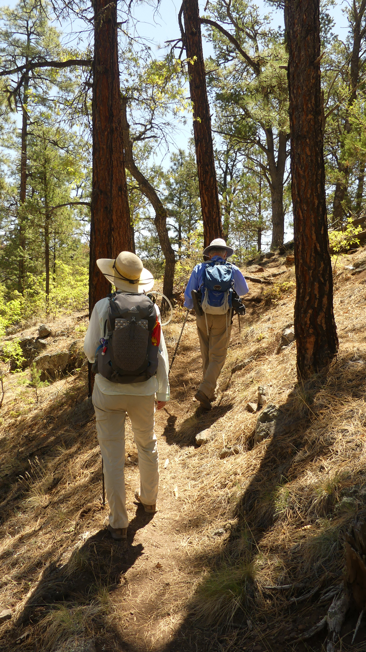
Guided by our best buddy Ann H., we followed a rough side road to Mimbres Trail #77.
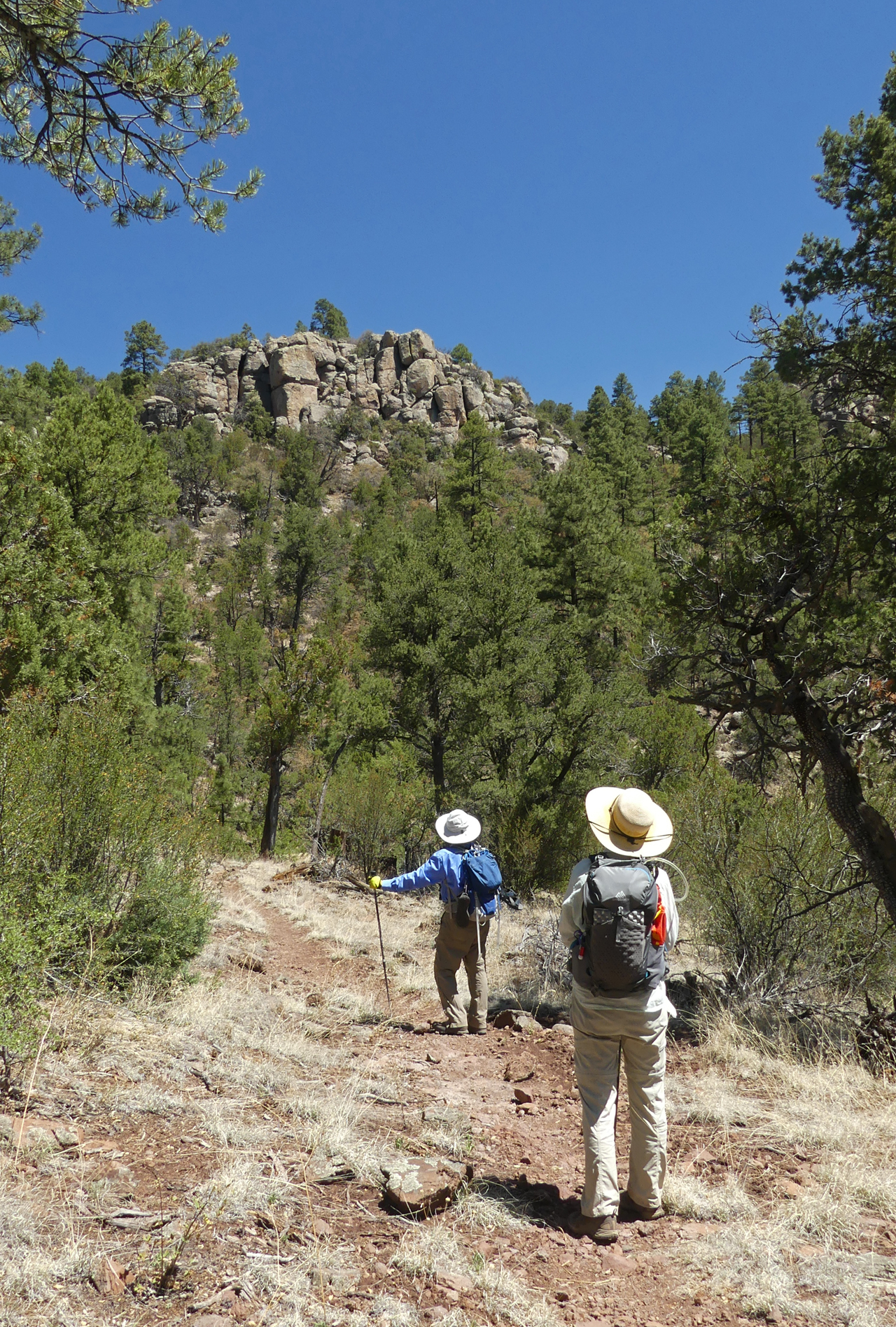
The trail descends steeply 2.3 miles to the Mimbres River, passing by some spectacular rock formations.
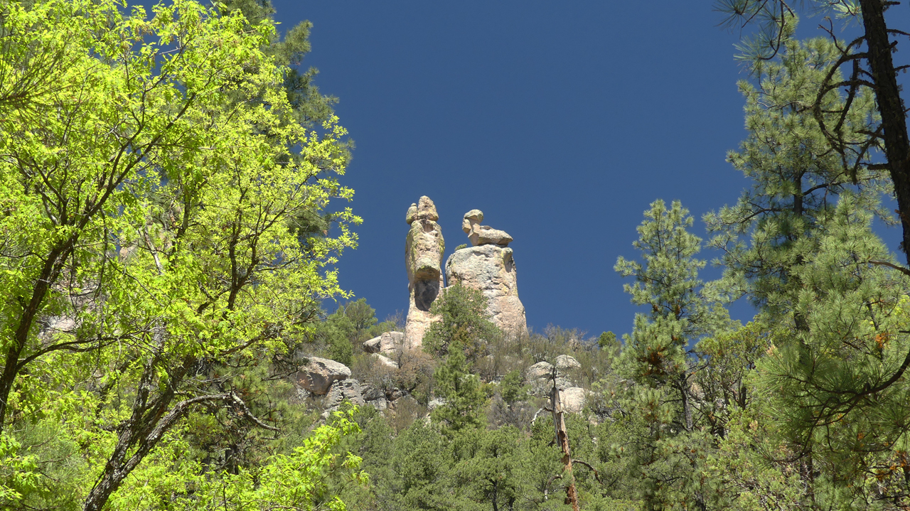
We call these the "duck rocks".
The trail climbs over a saddle and then drops another 600 feet to the river.
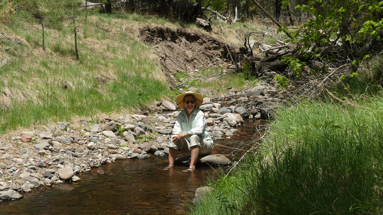
It was a warm day and the cool water sure felt good!
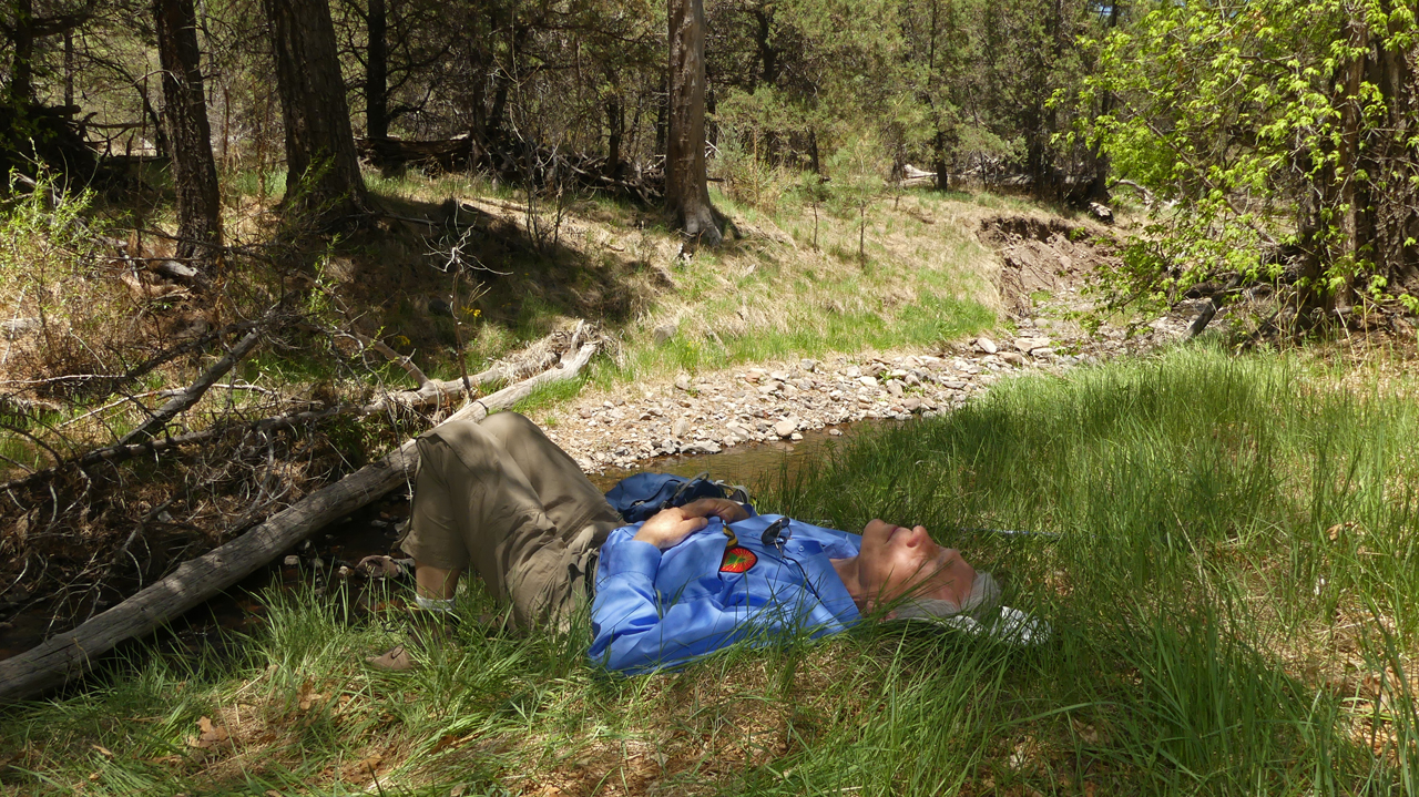
Time for lunch and a nap in the shade.
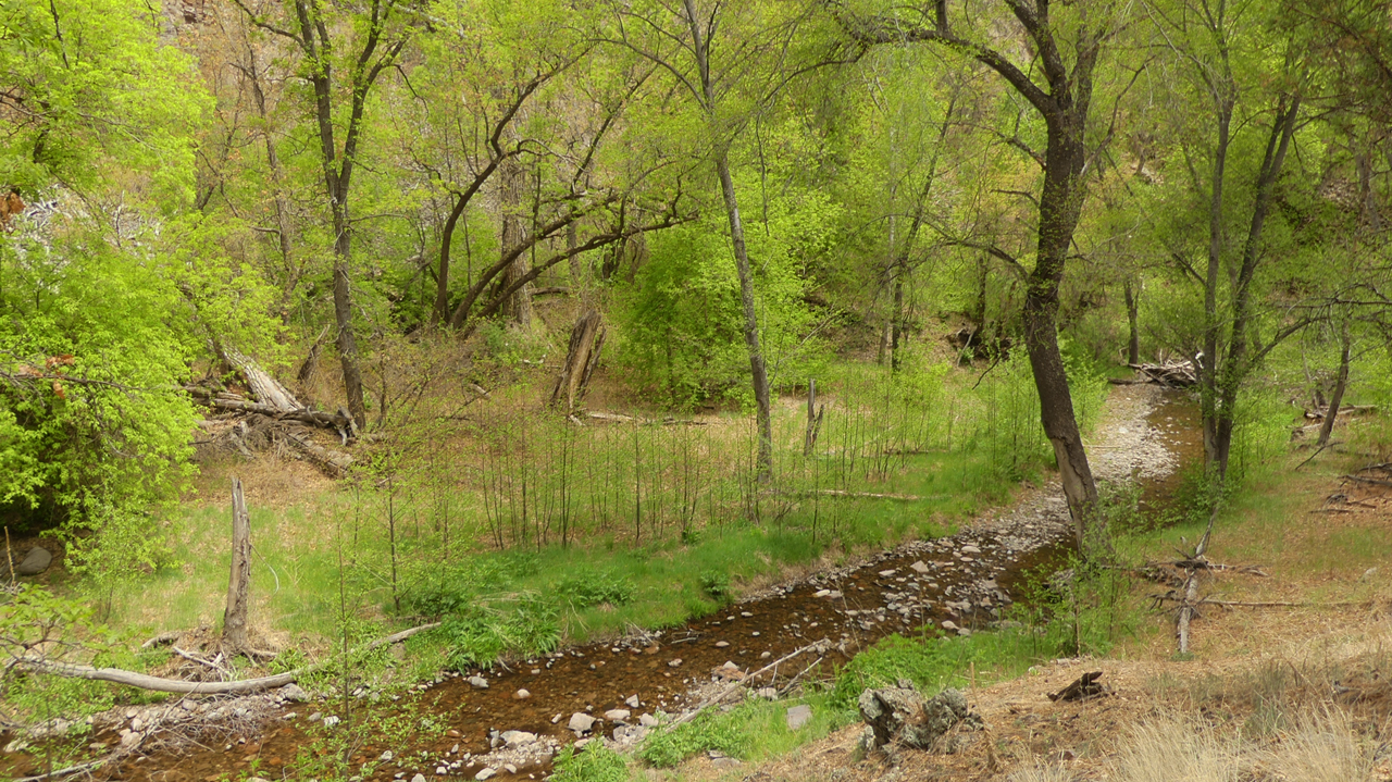
In the parched Southwest, a perennial stream is a miracle, no matter how small.
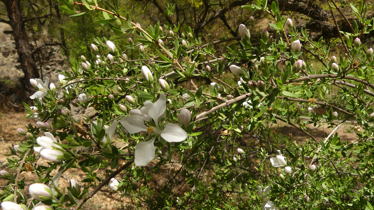
Except for lizards and perhaps a bald eagle, we saw few animals. But there were some great displays of summer wildflowers. This is Cliff Fendlerbush.
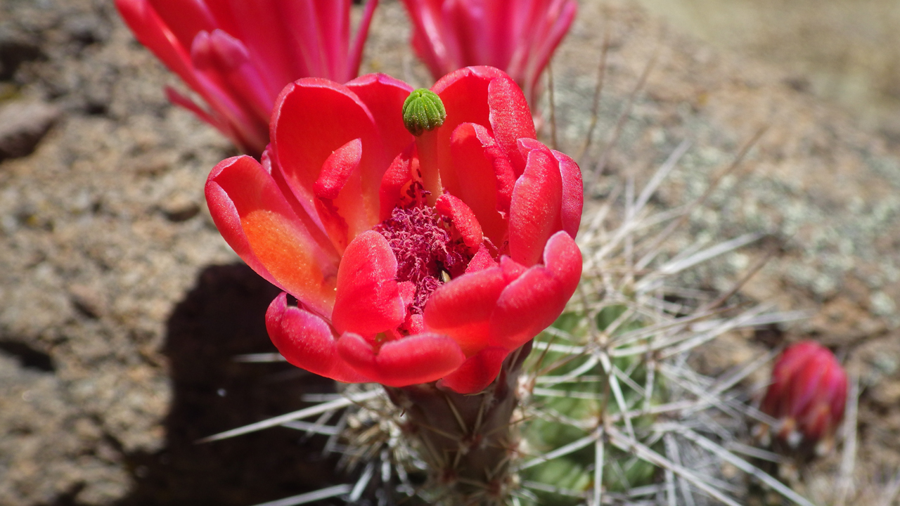
Claret cup cactus with a coral cast.
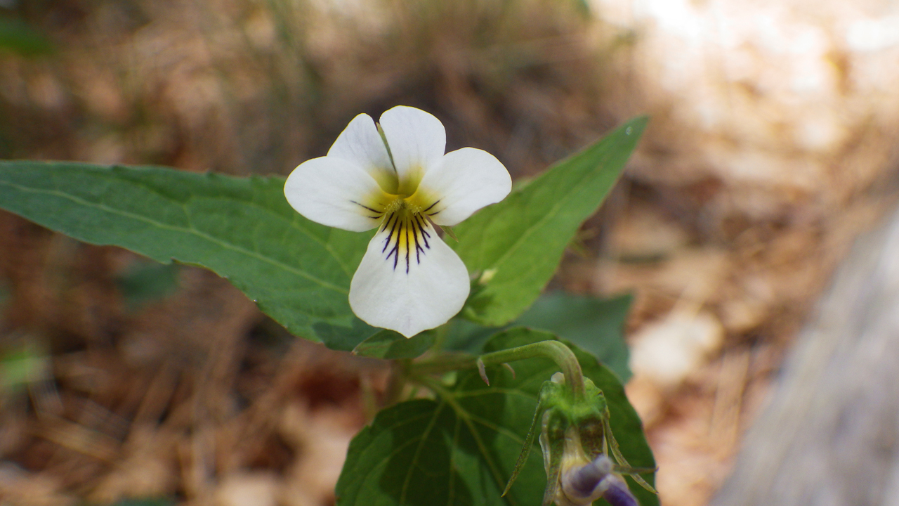
White violets
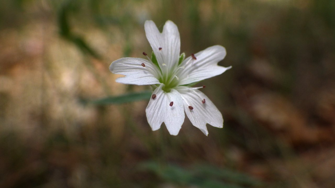
Tuber starwort (funny name, beautiful flower).
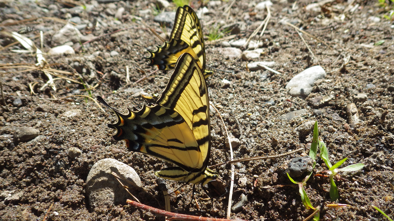
Swallowtail butterflies.
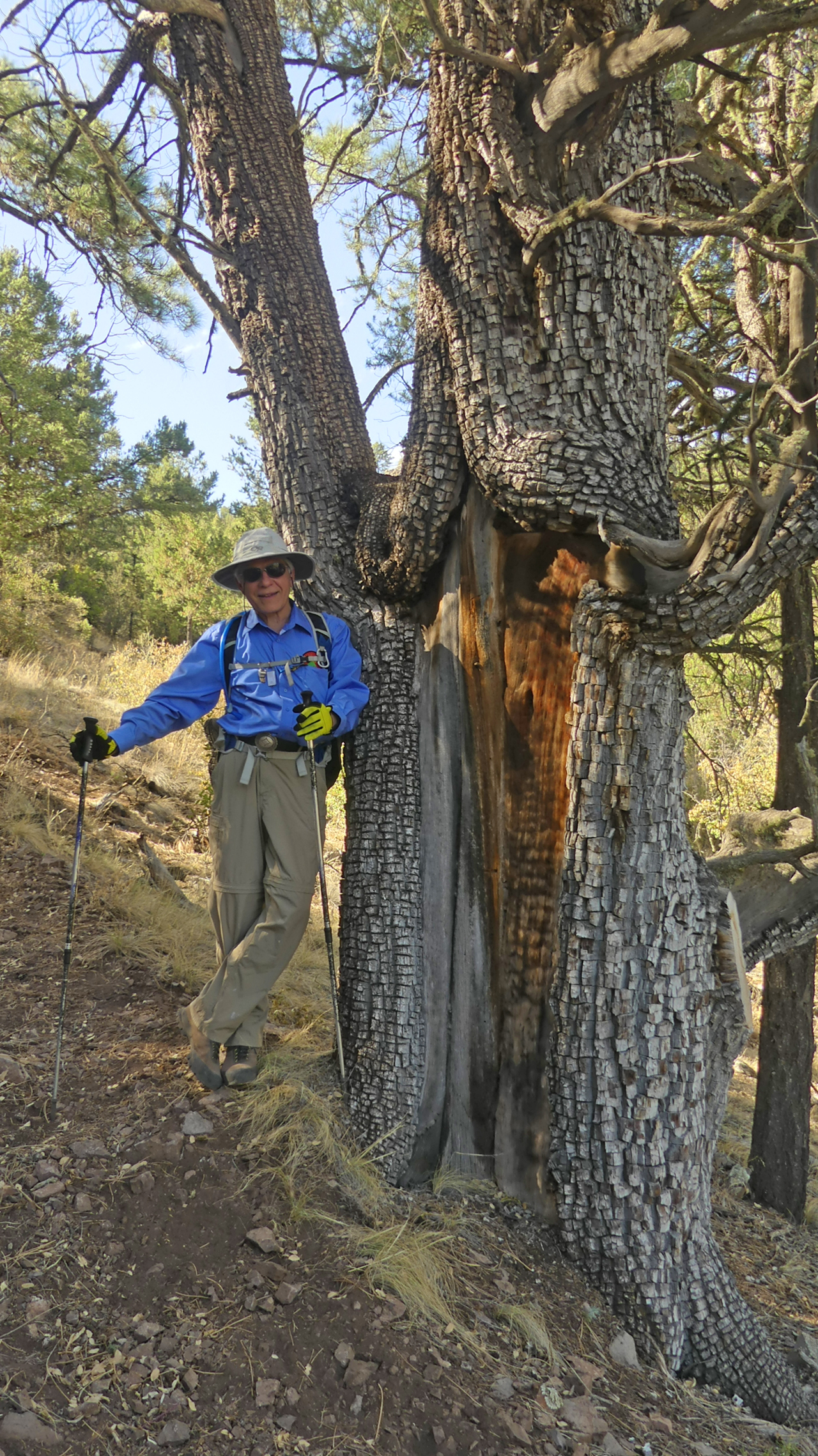
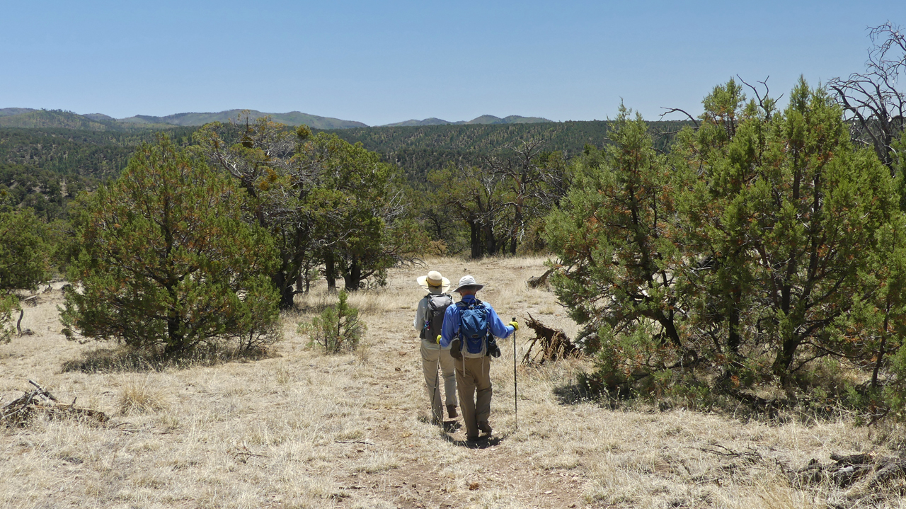
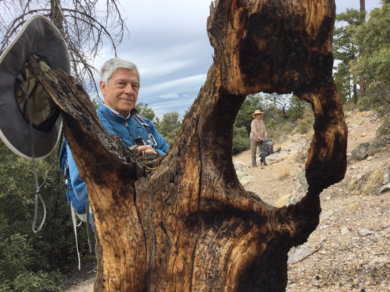
It was a tough slog uphill, but we made it. Taking a break by a well-weathered alligator juniper.
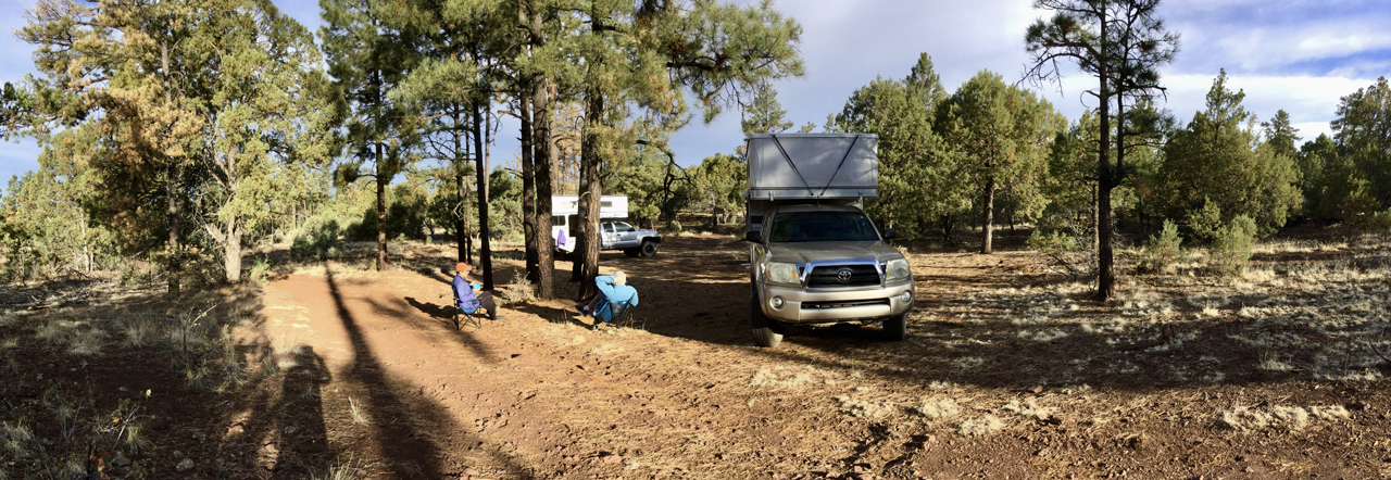
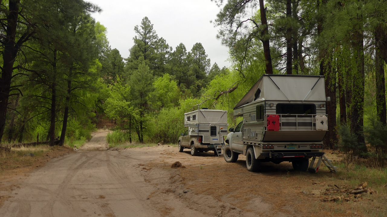
We had planned to camp right after the hike, but the unfolding scenery pulled us north, as we climbed out of the high desert into a dense forest of Ponderosa pine and Douglas fir. While chasing an illusive cell signal, we wandered to the top of a small knoll and stumbled onto a large campsite with 360-degree views.
What a difference a day makes! After sweating buckets on the Mimbres River hike, we cut short the following day's hike because of plummeting temperatures and the possibility of snow.
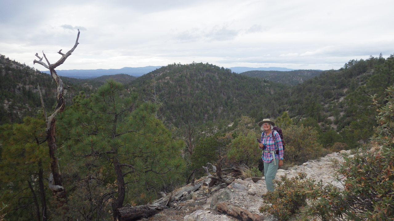
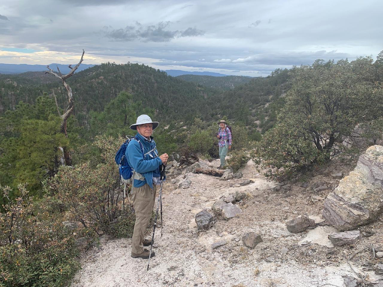
From the junction at 7900', the CDT snakes along a ridgeline with great views in all directions. The trail was in great shape, with impressive stone reinforcements.
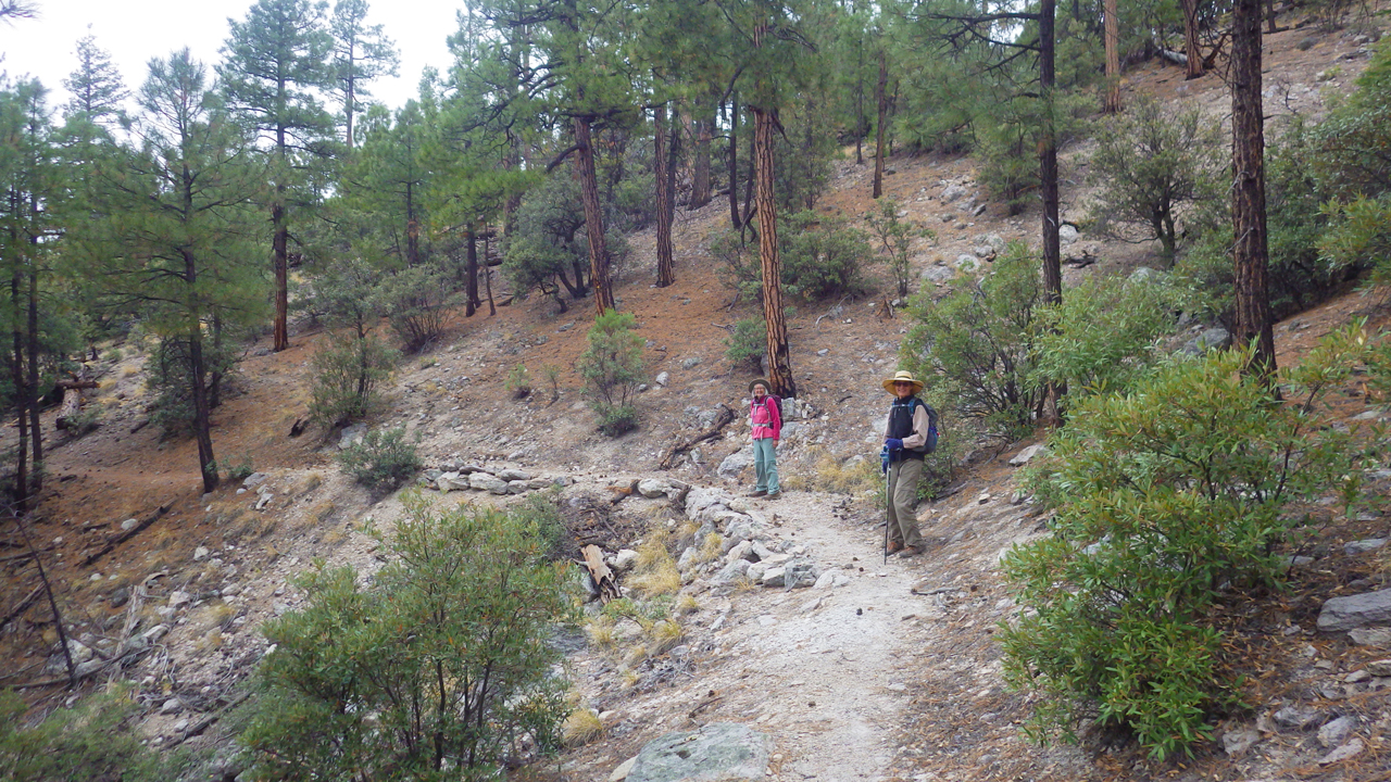
Hiking buddies.
On a warmer day we will continue east to Rocky Point at 9012' (photo by Ann H.)
On the way home, we wandered down FR 159A, searching for easier access to the Mimbres River Trail. The road was in suspiciously good shape. At the end of the road, where our maps show a streamside trail, there's a gate with a half dozen padlocks and a forest of "no trespassing" signs. As is so often the case on national public lands, private citizens with tiny inholdings have eliminated public access.