Chasing the Totality
Day 18: Burr Trail
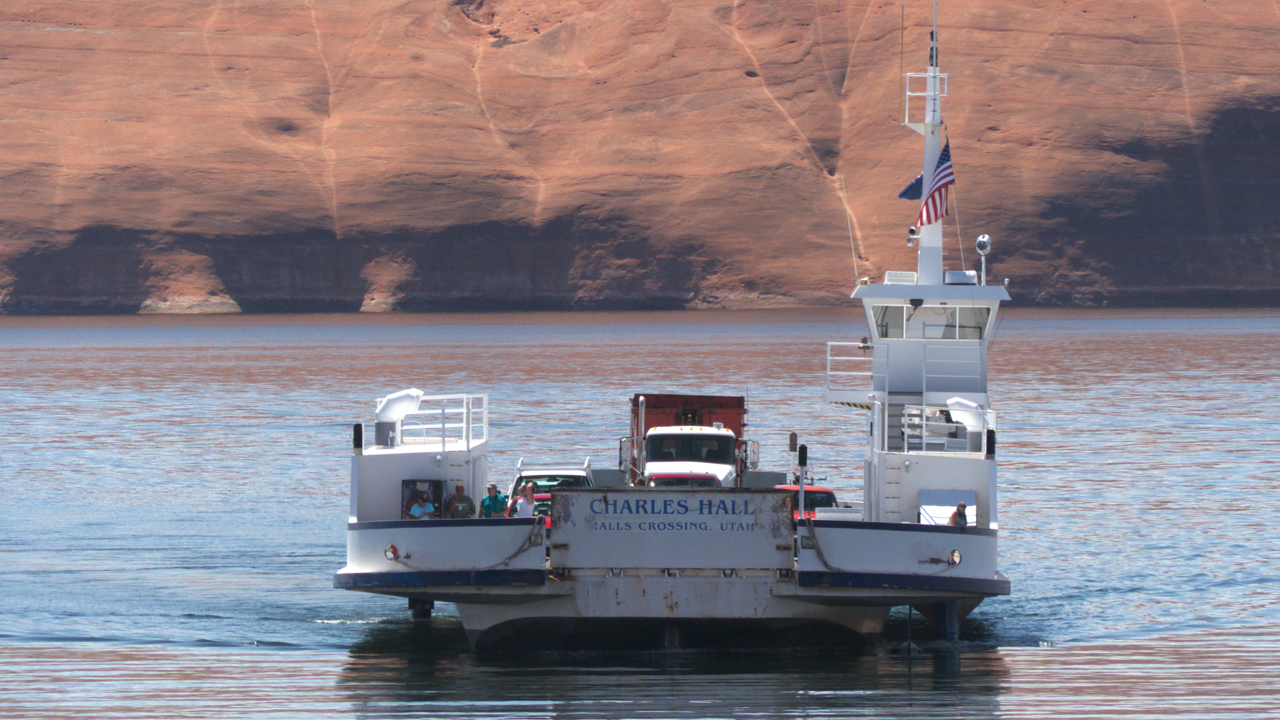
We had an approximate itinerary for our trip to Wyoming, but we deliberately left the return trip flexible. As we sprawled in the "Guernsey" chairs sucking down the good internet at our hotel in Park City, I saw something unusual. If I zoomed way in on Open Street Map, there appeared to be a road across Lake Powell! Zoom in even more and UT 276 changed to a dotted line identified as "Bullfrog Ferry". Incredulous, we located a website and called the number for information. Yes, there really is a ferry across Lake Powell, operated by the Utah Department of Transportation, that runs from Bullfrog Marina 3.1 miles to Hall's Crossing. That opened up a more interesting way to cross Escalante/Grand Staircase, by taking the Burr Trail from Boulder to UT 276. After coffee and homemade berry muffins at the delightful Burr Trail Outpost, we were on our way!
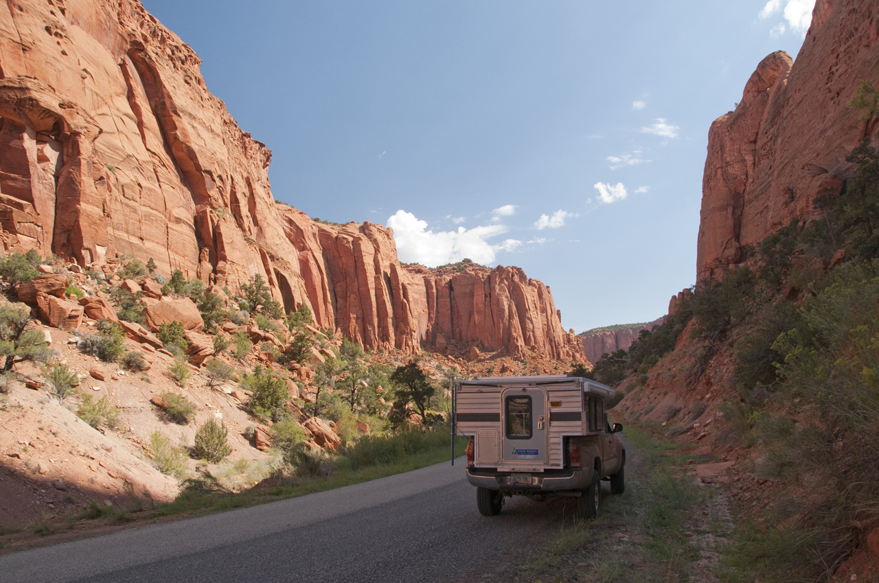
Near Muley Twist Canyon, the road drops 800 feet in about a mile while zig-zagging down the Waterpocket Fold. The Waterpocket Fold is a nearly 100-mile long warp in the earth's crust that formed between 50 and 70 million years ago when a major mountain building event in western North America, the Laramide Orogeny, reactivated an ancient buried fault in this region (scroll for panorama).
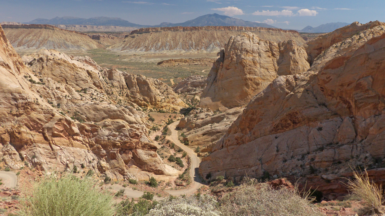

Below Burr Canyon, the road drops into Grand Gulch and the deep red Moenkopi sandstone of Long Canyon gives way to layers of buff-colored Cedar Mesa sandstone streaked with layers of red, gray and white shale and sandstone (scroll for panorama).

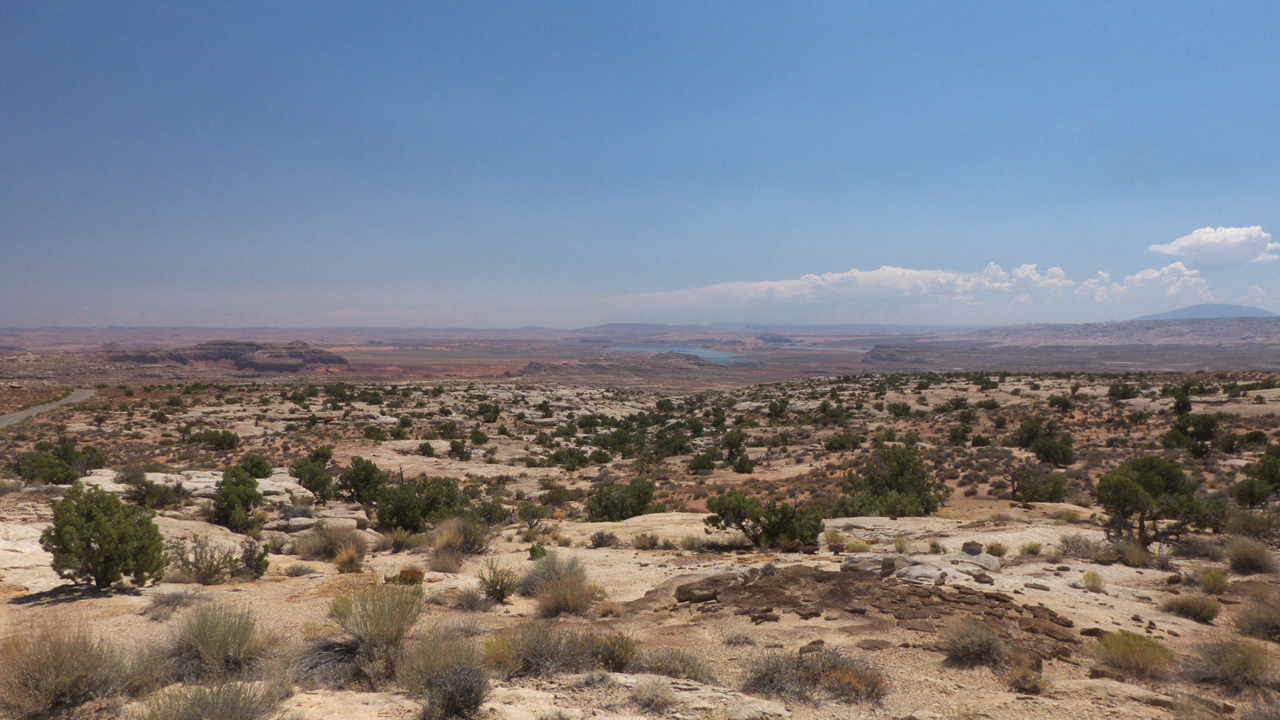
This is a heroic and almost entirely empty landscape. Past Muley Twist, we also saw one other vehicle — the local sheriff (scroll for panorama).
