To Hell Hole and Back
Aravaipa's East End
May 15-17, 2008
Photos by David, Dennis and Marion
We were packing for our annual excursion to Aravaipa Canyon when Rogil sent me an intriguing photo of a natural arch in the Hell Hole area near the east end of the canyon. However, the BLM hasn't issued permits for the east end in more than three years, since a disgruntled landowner locked the gate on the access road. The problem was compounded by extensive flooding and erosion from monsoon storms in July and August, 2006. Then in 2007, research by the Arizona Game and Fish Department established that Graham County actually owns the Aravaipa Road, and private property owners have no right to block it. I checked the BLM web site one last time before we left, and was amazed to see that permits were once again available for the east end of the canyon. The Safford office graciously e-mailed us a last-minute revision.
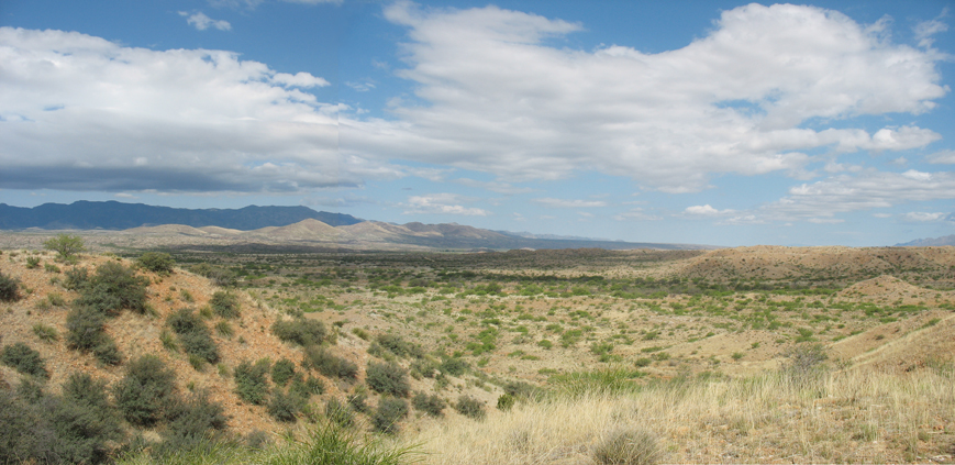
After five treks into Aravaipa Canyon, the opportunity to finally explore the other half turned a pleasant weekend into a thrilling adventure, beginning with the discovery of Sulphur Springs Valley. I did not realize that this high-and-dry savanna is actually the headwaters for Aravaipa Creek, collecting runoff from the Pinaleno and Galiuro Mountains. Click and drag this photo for a panorama
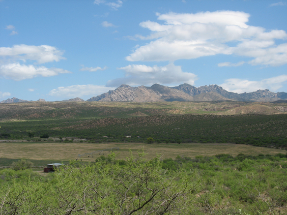
As you head north of Willcox on a well-graded gravel road, the plain undulates and gradually drops into a well-watered valley, with the ragged peaks of the Santa Teresa Wilderness for a backdrop.
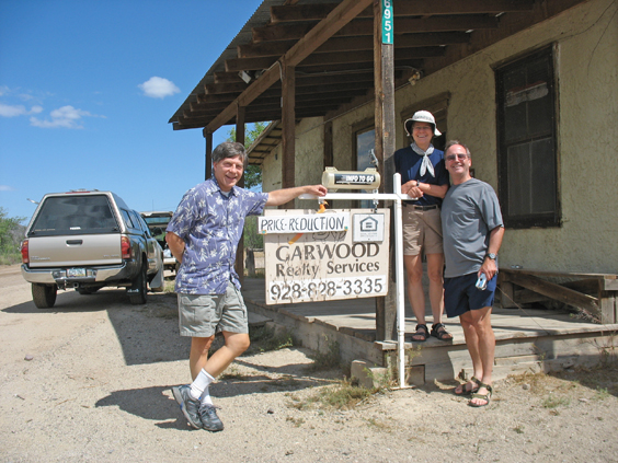
The "town" of Klondyke was undone by the three-year-long blockade, and even the general store is now boarded up.
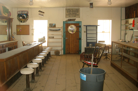
It's too bad, since this is a wonderful adobe landmark dating back to the early 1900s.
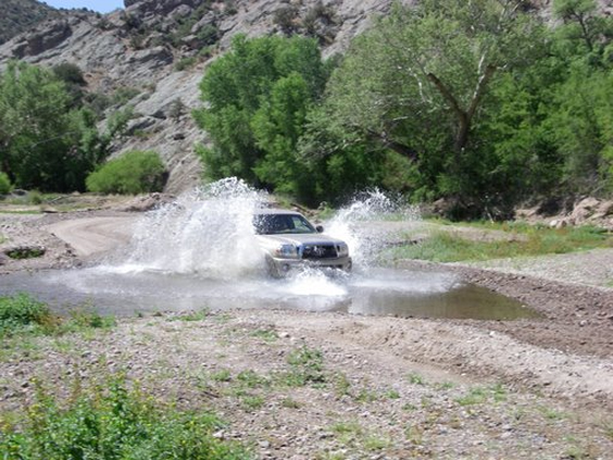
Past Klondyke, extensive road work makes it clear that access was obliterated by the floods of 2006. Even now, the Aravaipa Road requires a high clearance vehicle and numerous (fun!) stream crossings.
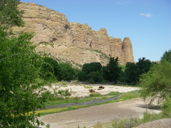
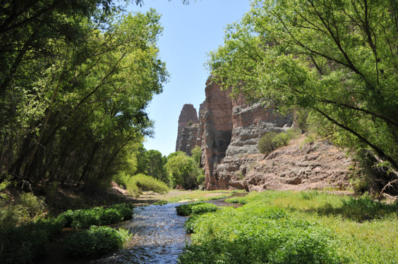
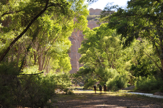
Cliffs of basalt and tuff rise up as the rushing water cuts its way across the heart of the Galiuros, creating a landscape of dazzling beauty.
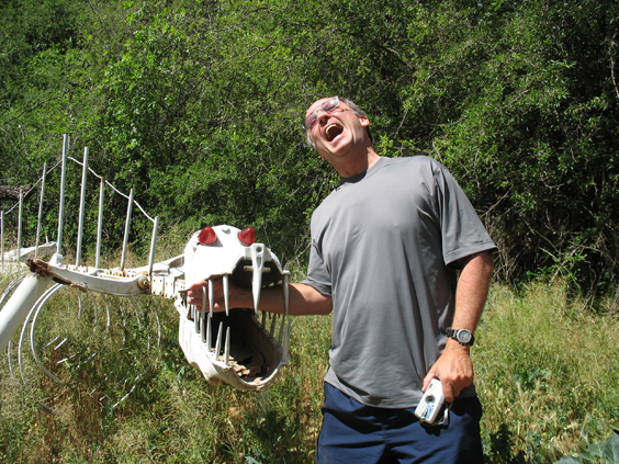
The first of several encounters with the local "wildlife" — in this case a sculpture made from a salvaged hay rake and car parts.
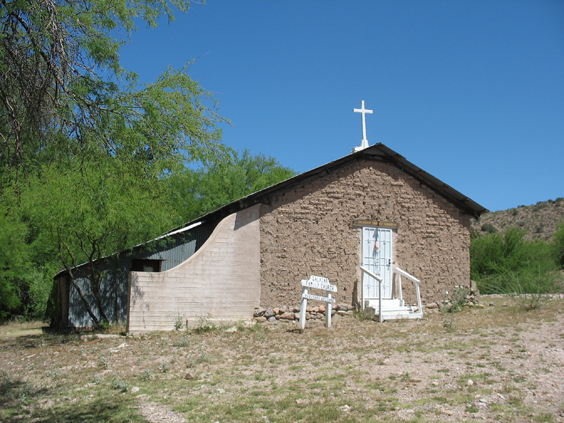
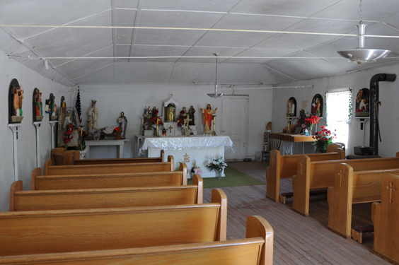
The Salazar Family Church is on the left just before the canyon entrance, and welcomes visitors.
The new parking lot is 1½ miles from the trailhead.
We were still hiking along the road when we spotted a large common kingsnake, and a few minutes later David nearly backed into an Arizona black rattlesnake, fully coiled and ready for action. A wild turkey trotted into the woods just before the first stream crossing.
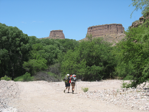
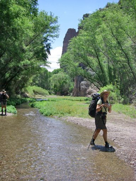
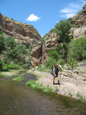
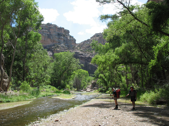
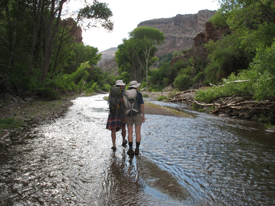
I thought the east end of the canyon would be flatter and drier than the west end, so was delighted to be sloshing along in a sparkling stream between 200-foot-high cliffs.
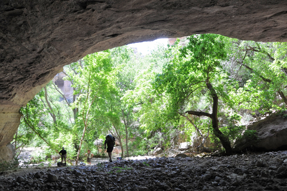
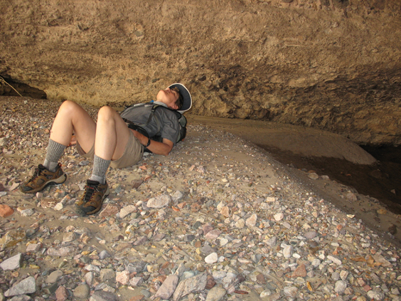
Our "first lunch" stop was under an enormous overhang in a side canyon.
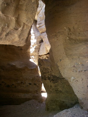
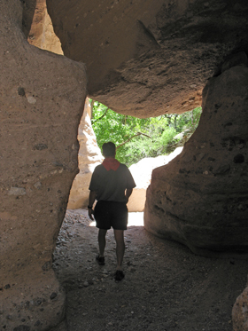
Huge boulders have collected near the mouth of the canyon, forming the roof of a "tunnel".
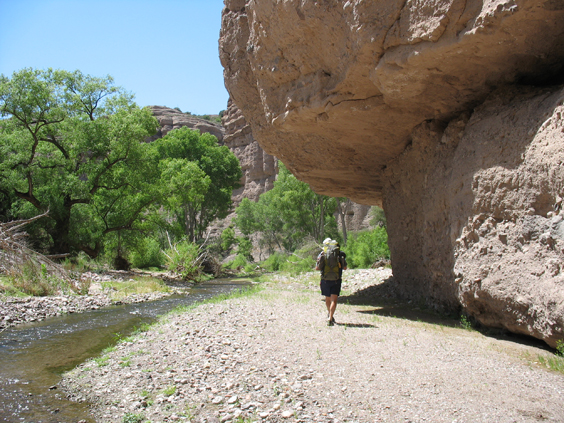
Halfway throught the first day of the hike and already we'd spotted two snakes, red-tailed hawks, common black hawks, turkey vultures, great blue herons, goldfinches and scarlet tanagers. But I was constantly scanning the walls of the canyon for the ultimate prize — a glimpse of the elusive bighorn sheep.
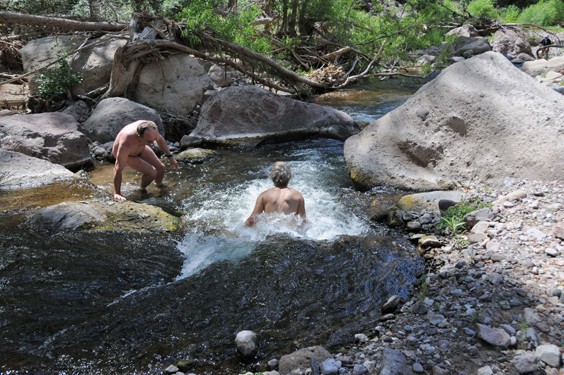
There aren't many large pools on the eastern end of the canyon, but we still found a few spots with enough bubbles to keep us entertained.
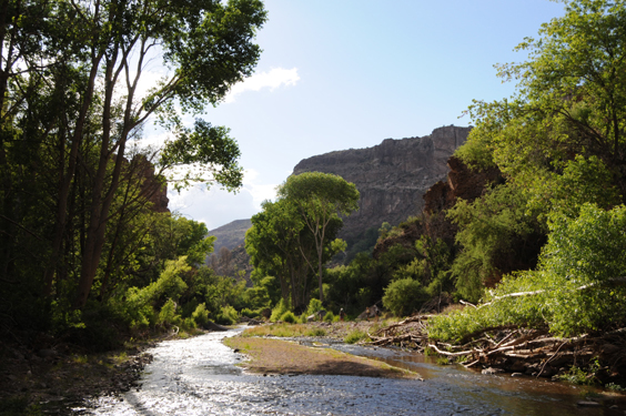
We set up camp on a sandy point opposite Deer Creek Canyon, four miles from the trailhead, then continued downstream without the packs to Paisano Canyon, the endpoint of last year's excursion into Aravaipa Canyon.
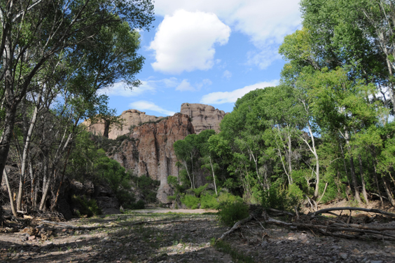
View of the mouth of Deer Creek Canyon from the wash beside our campsite.
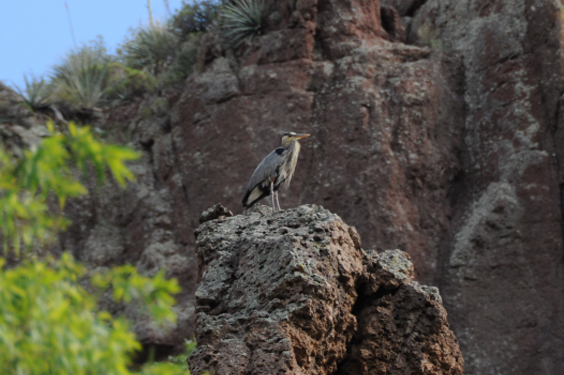
As we progressed downstream, a great blue heron blazed the trail and then posed for photos on a ragged pillar.
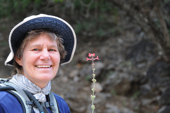
Rogil with an Arizona Penstemon.
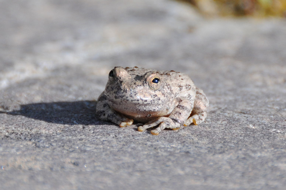
A canyon tree frog, perfectly camouflaged.
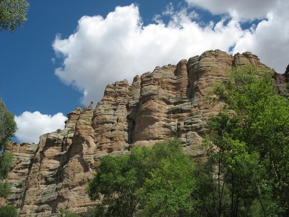
Although the forecast called for thunderstorms, all we got was perfect 85-degree sunshine filtered by a few puffy white clouds.
Time to head back to camp if we were going to make dinner and lounge around the campfire.
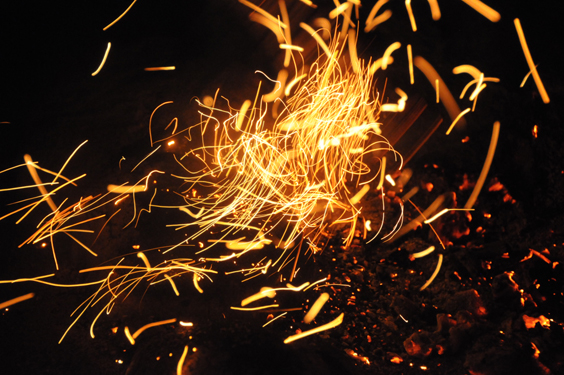
Playing with fire. Dancing embers captured by Dennis' new Nikon D300.
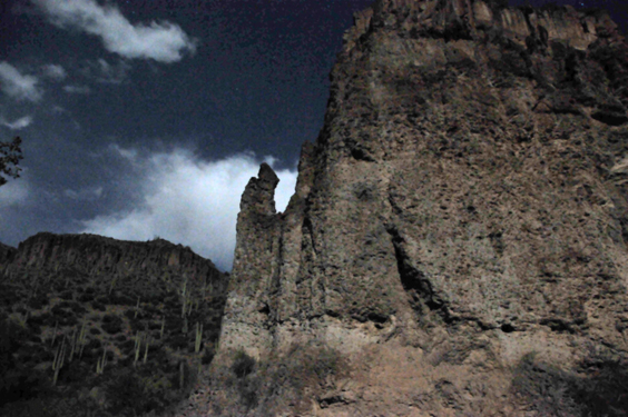
A full moon pops out from behind the clouds ...
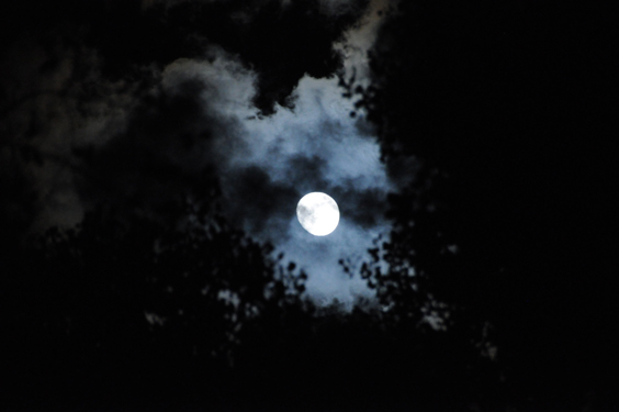
... and lights up the cliff across the canyon.
Our plan for Saturday was to explore Deer Creek Canyon, possibly making our way up canyon as far as the natural arch. But we figured that like most side canyons, the route would be blocked by huge boulders. Isn't that the end of the canyon right there in front of us?
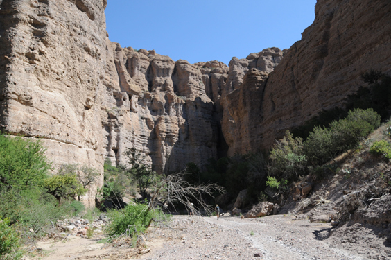
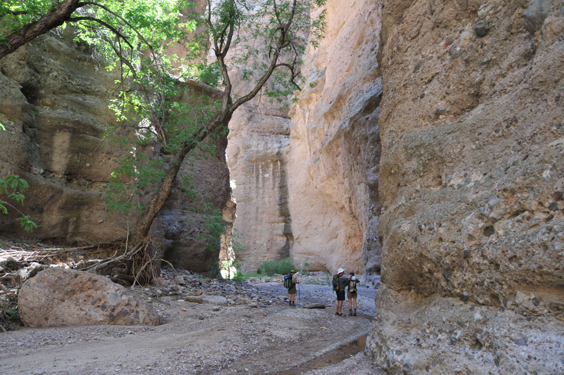
But no, at every bend, the canyon managed yet another right-angle turn between scalloped cliffs that reminded me of adobe grain silos, and Dennis of Egyptian temples.
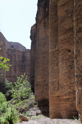
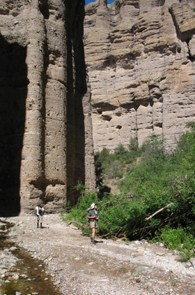
Although the canyon narrowed to as little as 20 feet wide, the canyon floor was remarkably free of brush and boulders, and we trotted along beside a ribbon of water.
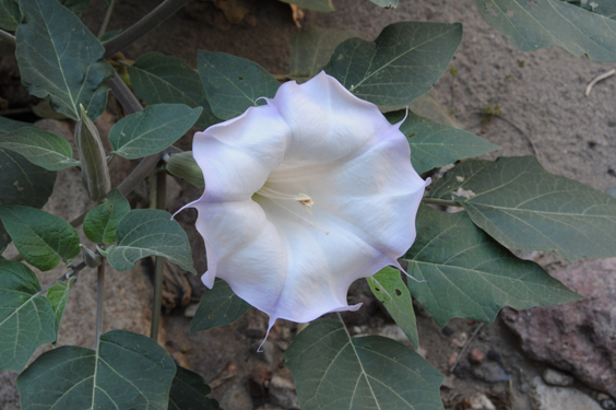
In this well-shaded canyon we came across an absolutely perfect datura.
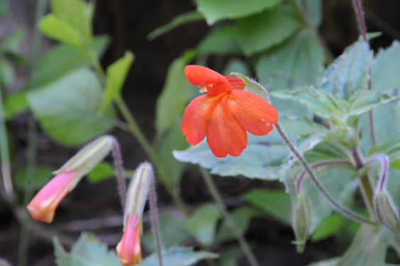
And this brilliant scarlet monkey flower.
But all the while, I was looking for sheep, and listening for the rattle of loose stones or any other signs of their presence.
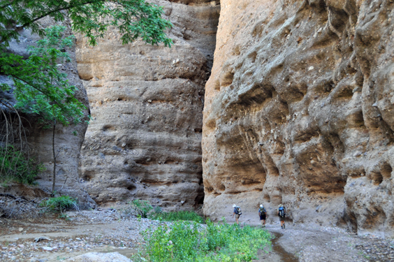
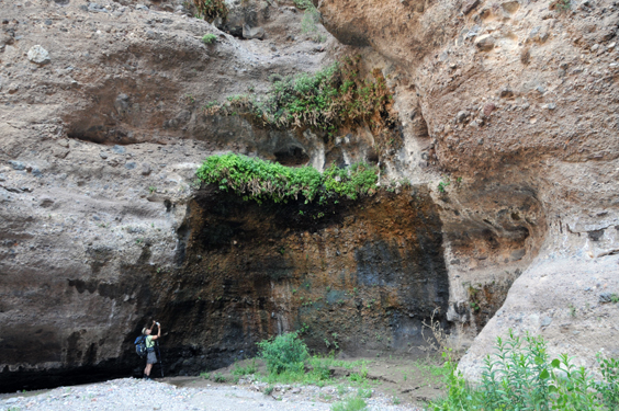
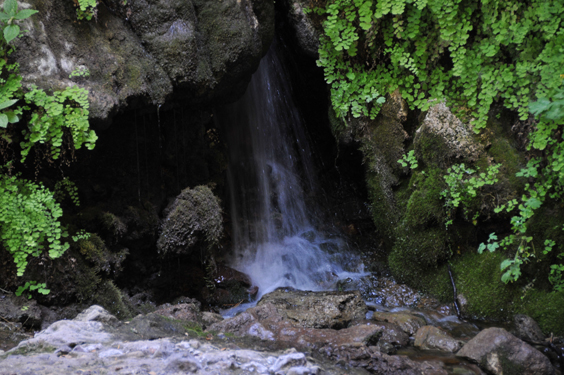
Grottos like this supply a trickle of water to Deer Creek — a lifeline for the animals who live here.
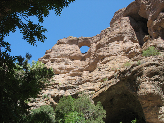
And there it was, the famous Hell Hole natural arch. It was our goal for the day, but since the canyon continued, so did we.
And then I heard it again. The unmistakable rattle of stones overhead. "It wasn't me," David testified. I looked up, and grabbed Rogil's arm, speechless with wonder. A short distance above us were two bighorn sheep.
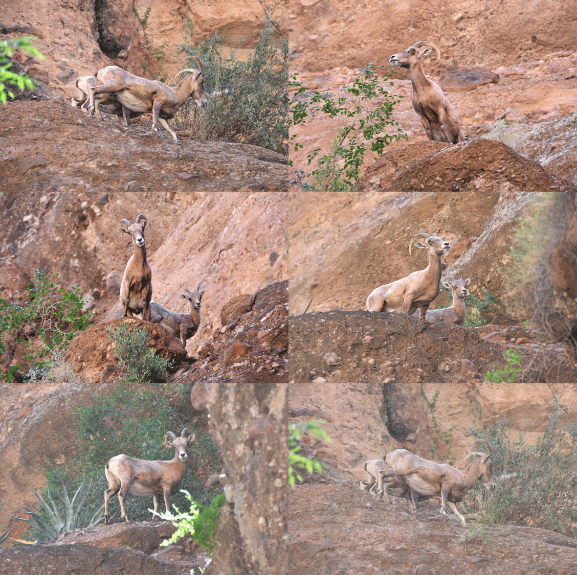
A ewe and a lamb gazed down on us, looking every bit as surprised and curious as we were. I thought they'd be white and shaggy, but they're actually buff-colored with sleek and muscular bodies.
P.S. There will be no more complaints from me about how much Dennis spent on this camera!
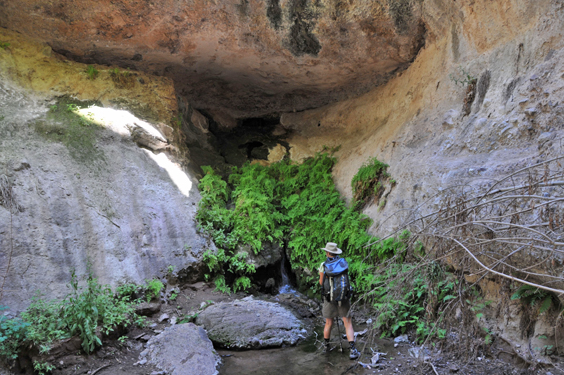
"Well, my hike is complete," I joked. "All we're missing is the plunge pool." And just around the next bend, a small waterfall came gushing out of the canyon wall, like the rock at Rephidim.
Clearly this was the spot for today's "first lunch."
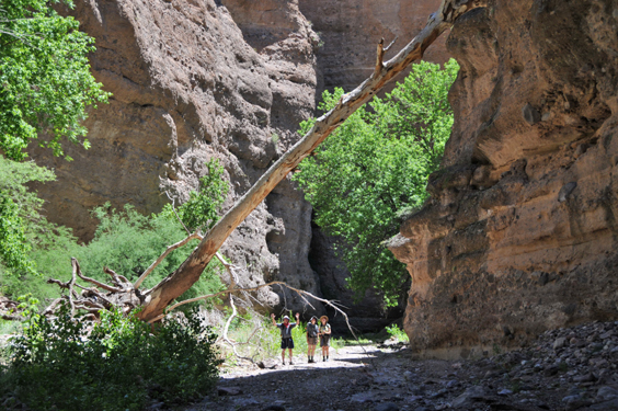
And still the canyon continued to twist and snake through the rock, although the sides were lower now, exposing us to the midday sun.
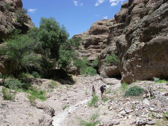
While David and Dennis communed with the satellites, Rogil and I made a grotto stop, then set off in pursuit of the sound of running water.
Just around the next bend, we were dazzled by an enormous hanging garden, with a curtain of water spraying from dozens of calcified shower heads.
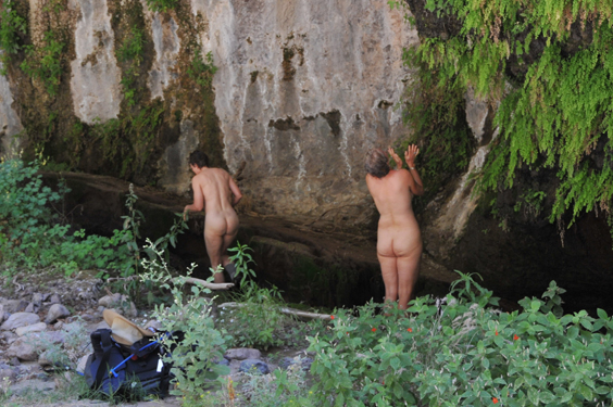
Gurlz gone wild.
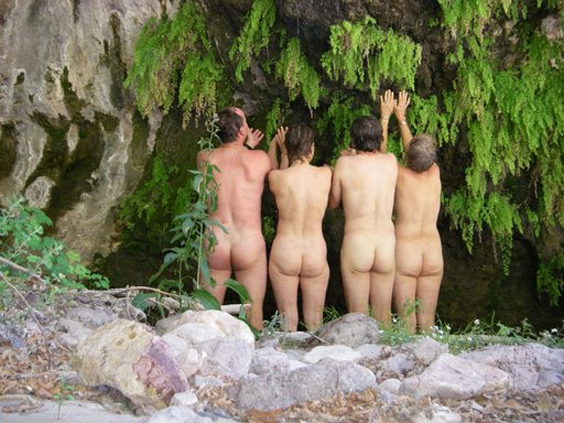
"But .. but .. but ... but ..."
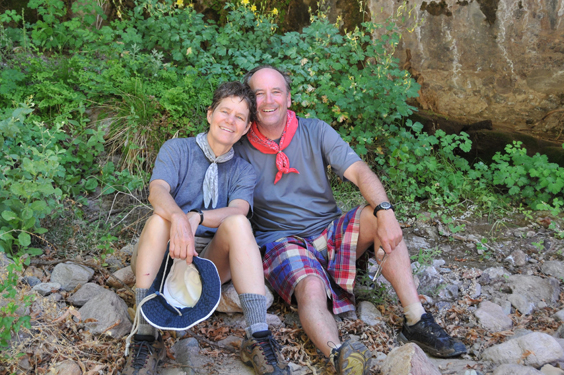
Rogil and David.
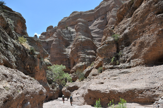
We had hiked nearly three miles into the canyon, and there was every indication that we could have walked right out to the top of the mesa.
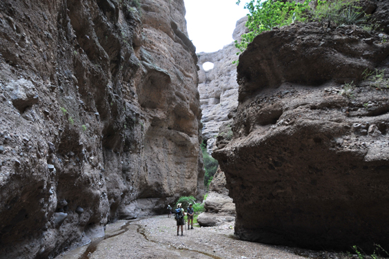
But it was time to head back to camp, passing by the natural arch a second time.
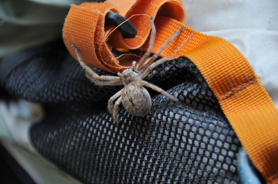
Larry, is this a wolf spider?
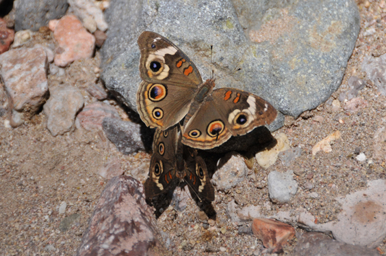
Common Buckeye Butterfly.
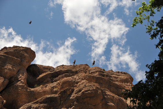
Turkey vultures circle patiently overhead.
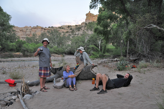
Nick joins us in camp after a run to the arch, and we raise our glasses to Hobbs and Mourek and all the other special friends we have loved and lost.
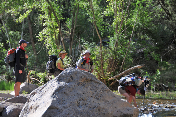
And we all hike out together Sunday morning.
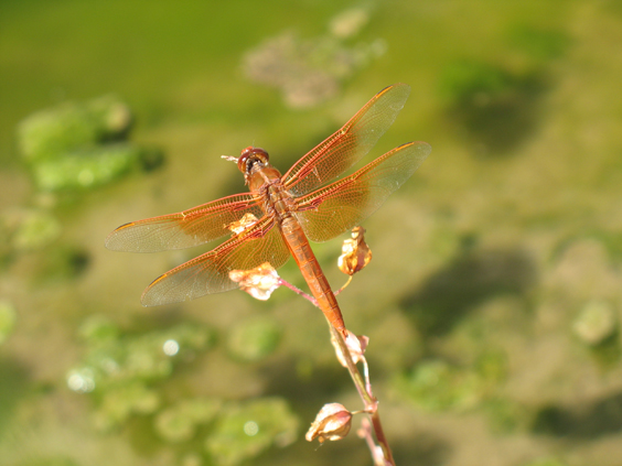
Dennis finally got a photo of a flame skimmer, Arizona's largest dragonfly.
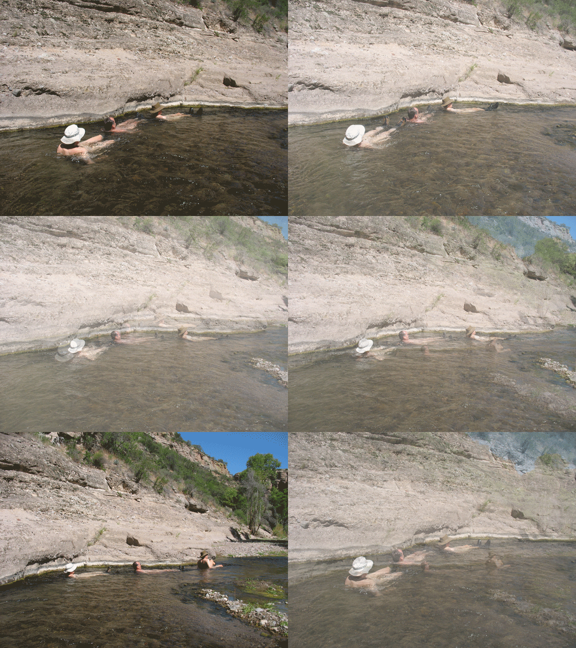
"Ev'rybody's do-oo-in the loco motion..."
Hell Hole: it's heavenly!